The best walks and hikes around Grand Junction
4.8
(63)
839
hikers
20
hikes
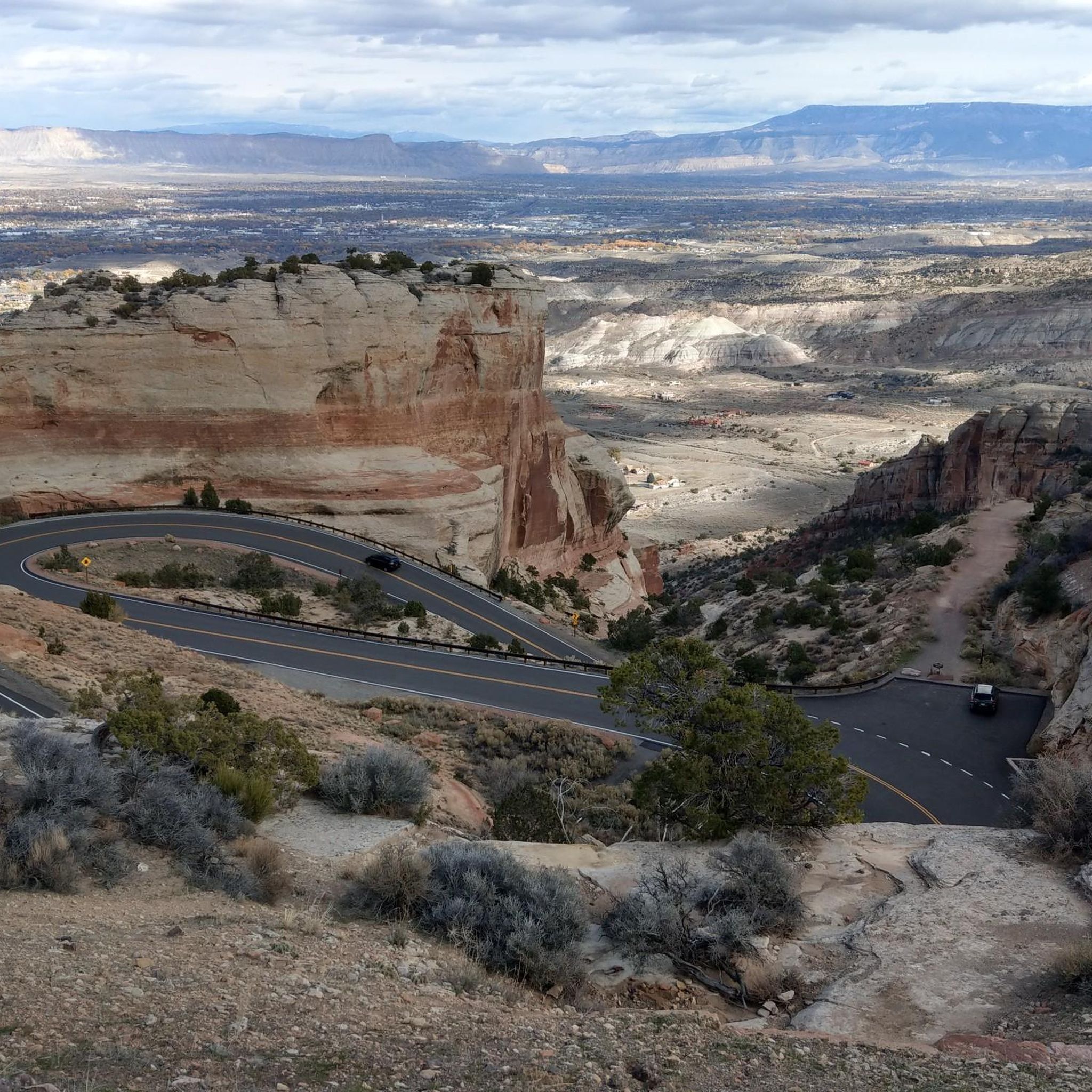
Hiking around Grand Junction offers a diverse experience at the confluence of the Colorado and Gunnison rivers. The region is characterized by high-desert terrain, red rock canyons, and riverfront paths. This landscape provides a network of trails that navigate through areas like the Colorado River State Park and the popular Lunch Loops system.
Best hiking trails around Grand Junction
- The most popular hiking route is Holy Bucket Trail via Miramonte Rim and Tabeguch loop, a 5.4 mile (8.6 km)…
Last updated: September 28, 2026
6
hikers
2.79km
00:43
10m
10m
The Canyon View Loop offers an easy hike through the natural landscape of Mesa County, perfect for a quick outdoor escape. You'll follow a gentle path that winds for 1.7…
5.0
(9)
3
hikers
6.63km
02:10
210m
200m
Embark on a moderate hike through the Eagles Trail, Lemon Squeezer and Tabeguache Loop, a route that spans 4.1 miles (6.6 km) and climbs 696 feet (212 metres). You can…

5.75km
01:28
20m
10m
Embark on an easy hike along the Colorado Riverfront Trail - Blue Heron Section, a paved route offering picturesque views of the Colorado River and the tranquil Blue Heron Lake.…
5.80km
01:36
90m
90m
Embark on the Curt's Lane and Time Machine Loop for an easy hiking adventure through the varied terrain of the Lunch Loops Trail System near Grand Junction, Colorado. This route…
950m
00:14
0m
0m
Embark on an easy hike along the Eagle Rim Trail, a short 0.6-mile (0.9 km) loop that offers accessible paths and panoramic views. This route provides scenic overlooks of the…
Get access to more routes and recommendations from other explorers.
Already have an account?
Our route recommendations are based on thousands of hikes, rides, and runs completed by other people on komoot.
Start today with a free account
Your next adventure awaits.
Other adventures around Grand Junction

Tips from the Community

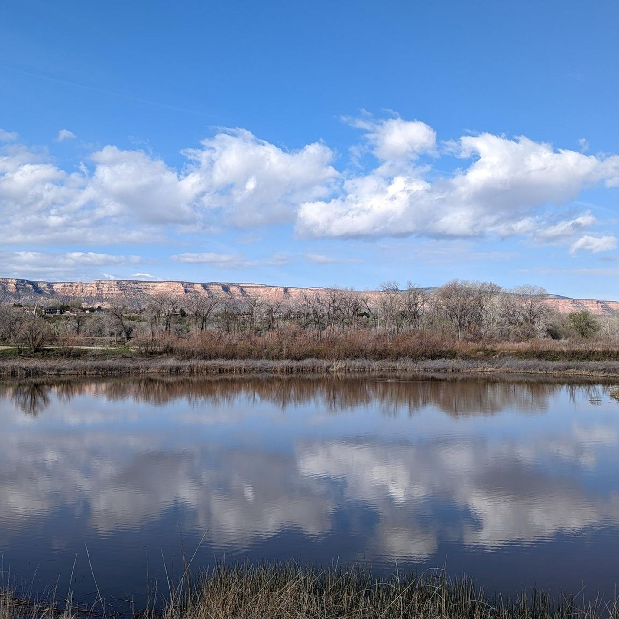
This pond is nestled into some trees and along a winding path. In the fall you can enjoy all the leaves changing colors, with the pond freezing in the winter. Be careful going around it as slick leaves can be deposited right on the trail.
0
0

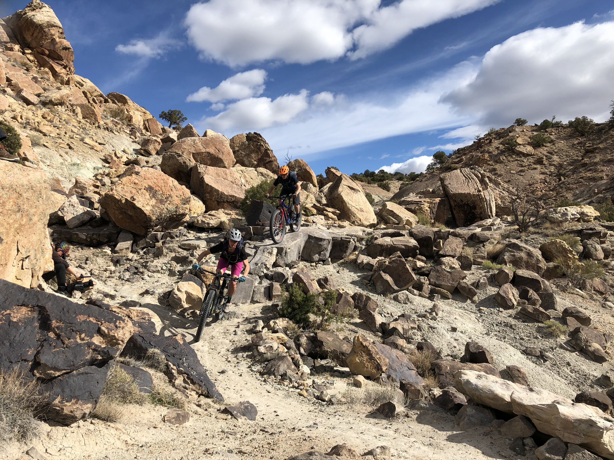
Spectacular views, tricky features and lots of rocks: Eagle's Wings is a must for all mountain bikers who love technical challenges.
1
0
Leftover Lane connects Curts Lane with Miramonte. The Trail has a few technical challenging sections and can be ridden in both directions.
1
0
This is such an amazing idea: A trail built by kids for kids of all ages! Kids Meal is an easy trail with lots of signs that teach our little ones how to handle trail features like descents or climbing sections. And one tip for sections that seem too difficult is: "There is no shame in walking." So true!
1
0

I'm on a gravel bike remember. but I can still execute these smaller trails no problem.
1
0
Frequently Asked Questions
What is the best time of year to hike in Grand Junction?
Spring and fall offer the most pleasant temperatures for hiking the lower elevation desert trails around Grand Junction. Summer can be very hot in the canyons, making it a better time to explore the cooler, high-altitude trails on the Grand Mesa. Winter hiking is also possible on sunny days, especially on trails with southern exposure.
Are there any easy, family-friendly hikes in the area?
Yes, Grand Junction has several great options for families. The Riggs Hill loop is a short, accessible trail that's perfect for a quick outing. For a slightly longer but still easy walk, consider the trails within the James M. Robb - Colorado River State Park, which are generally flat and follow the river.
Can I bring my dog on the hiking trails?
Many trails in and around Grand Junction are dog-friendly, but rules vary by location. Areas managed by the Bureau of Land Management (BLM), such as the Lunch Loops and McInnis Canyons, generally allow dogs, often off-leash if under voice control. However, the Colorado National Monument has stricter regulations, typically requiring dogs to be leashed and restricting them from most backcountry trails. Always check the specific regulations for the trail you plan to hike and be prepared to leash your dog.
Are there any hikes with waterfalls near Grand Junction?
While the high-desert landscape isn't known for abundant waterfalls, you can find them in specific canyons, especially after rainfall or during spring snowmelt. Big Dominguez Canyon, located within the Dominguez-Escalante National Conservation Area, is well-known for its beautiful cascades and swimming holes along the creek.
What should I pack for a day hike in Grand Junction?
For any hike, it's essential to bring plenty of water, especially in the desert environment. Sun protection is critical, so pack sunscreen, a wide-brimmed hat, and sunglasses. Wear sturdy hiking shoes with good grip for the rocky terrain. It's also wise to carry snacks, a basic first-aid kit, and a map or a fully charged phone with the route downloaded.
Where can I find trails with natural arches?
The Rattlesnake Canyon area within McInnis Canyons National Conservation Area contains the second-largest concentration of natural arches in the world. Accessing them requires a bit of effort, often involving a hike or a high-clearance 4WD vehicle, but the payoff is spectacular. For an easier-to-reach arch, the Canyon Rim Trail to Window Rock in the Colorado National Monument offers a stunning view through a natural rock window.
What are some popular places to start a hike from?
The Lunch Loop Trailhead is a highly-regarded starting point, providing access to a vast network of trails popular with both hikers and mountain bikers. For hikes within the Colorado National Monument, the Monument Canyon Trail and Devil's Kitchen Trail trailheads are excellent choices. Further out, the Devil's Canyon Trail System in Fruita is another local favorite offering many trail options.
Are there any free hiking trails in Grand Junction?
Yes, many of the best hiking areas are free to access. The popular Lunch Loops trail system and most trails in the McInnis Canyons National Conservation Area, such as the Devil's Canyon area, do not require an entrance fee. However, you will need to pay an entrance fee to access trails within the Colorado National Monument and Colorado State Parks.
What do other hikers say about the trails around Grand Junction?
The trails are highly rated by the komoot community. Hikers frequently praise the incredible variety of scenery, from the dramatic red rock canyons to the lush riverfront paths. The well-maintained and clearly marked trails in popular areas like the Lunch Loops are also a common point of positive feedback.
How difficult is the Serpents Trail?
The Serpents Trail is considered a strenuous hike due to its steep grade and 54 switchbacks over a short distance. While not long, it involves a significant and rapid elevation change. It was originally built as the main road into the Colorado National Monument and offers fantastic panoramic views as you climb.
What kind of wildlife might I see while hiking?
The diverse ecosystems support a variety of wildlife. In the desert canyons, you might spot desert bighorn sheep, collared lizards, and various bird species. The Grand Mesa's alpine environment is home to deer, elk, and marmots. Keep an eye out for golden eagles and other raptors soaring above the canyons.
Are there any short loop hikes available?
Absolutely. For a quick but rewarding hike, the Tabegauch Trail loop via Curt's Lane Trail in the Lunch Loops system is a great option. It's less than 2 miles (3 km) and gives you a good taste of the area's classic desert terrain without a major time commitment.
Most popular routes around Grand Junction
Most popular attractions around Grand Junction

Get inspired with the komoot mobile app


Explore more
Browse the best Hikes in other regions.
