The best road cycling routes around Glenwood Springs
5.0
(3)
466
riders
11
rides
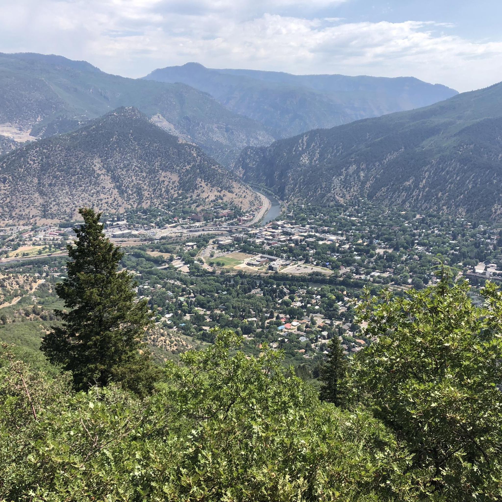
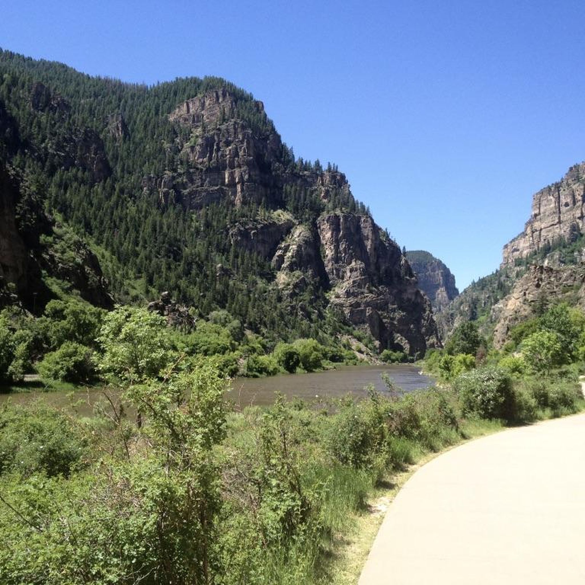
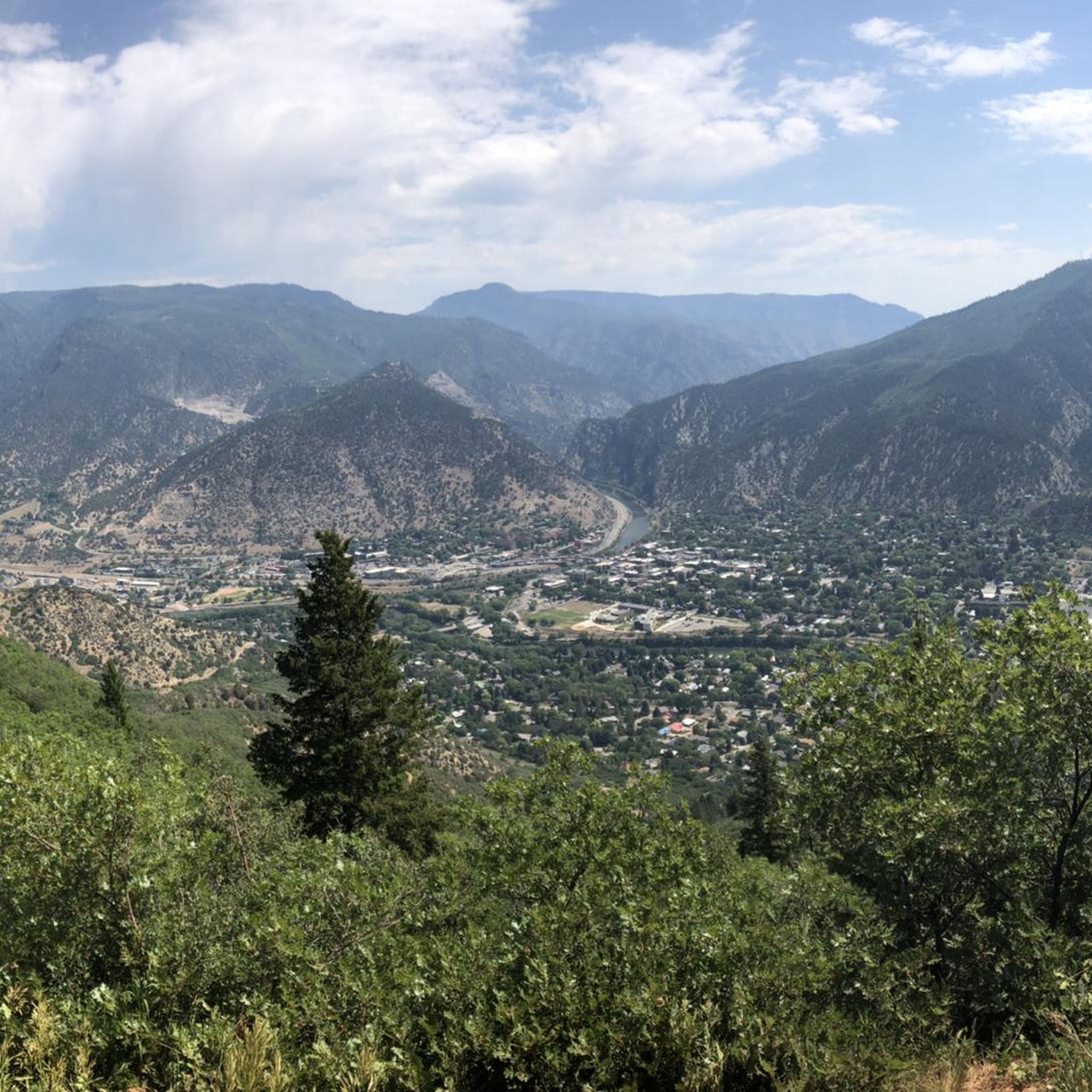
Road cycling routes around Glenwood Springs are set within a landscape shaped by the confluence of the Colorado and Roaring Fork Rivers, surrounded by the Rocky Mountains and the White River National Forest. The region features dramatic geological formations, including the towering cliffs of Glenwood Canyon. This diverse terrain offers a variety of road cycling experiences, from riverside paths to routes with significant elevation gain.
Best road cycling routes around Glenwood Springs
- The most popular road cycling route is Glenwood…
Last updated: May 10, 2026
80
riders
52.1km
02:55
470m
470m
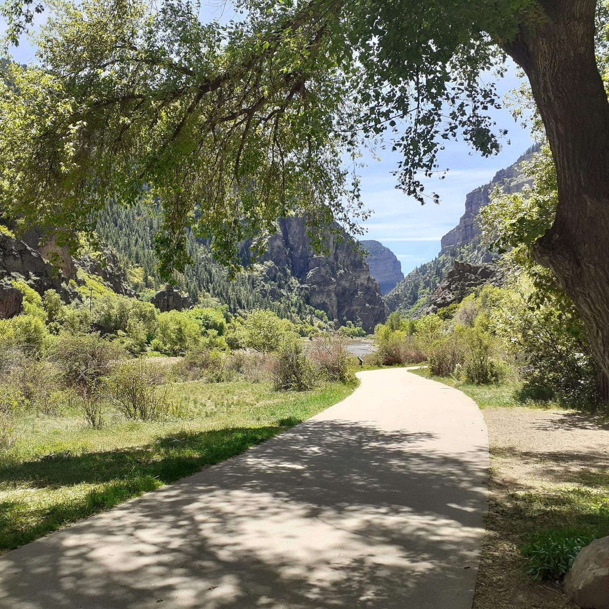
Cycle the 32.4-mile Glenwood Canyon Recreation Path through towering cliffs and along the Colorado River for a moderate, scenic adventure.
40
riders
149km
07:34
1,270m
1,260m
Cycle the challenging 92.3-mile Rio Grande Trail loop from Glenwood Springs to Aspen, gaining 4159 feet with stunning Roaring Fork Valley vi

Sign up for free
44
riders
78.0km
03:51
440m
430m
Cycle the moderate 48.5-mile Rio Grande Trail from Glenwood Springs to Basalt, gaining 1427 feet with scenic river views.
5.0
(1)
36
riders
44.0km
02:00
250m
260m
Cycle the Rio Grande Trail, a moderate 27.3-mile route through the scenic Roaring Fork Valley with views of Mount Sopris.
12
riders
61.4km
03:03
700m
690m
Cycle the 38.2-mile Rio Grande Trail and Cattle Creek Loop, a moderate route with 2284 feet of gain, offering diverse Colorado scenery.
Get access to more routes and recommendations from other explorers.
Sign up for free
Already have an account?
Our route recommendations are based on thousands of hikes, rides, and runs completed by other people on komoot.
Start today with a free account
Your next adventure awaits.
Login or Signup
Tips from the Community

Aspen, Colorado, the world-famous ski resort town is a great place to kick off or end your ride by exploring the historic downtown area. Cruise through the streets with Victorian architecture, checking out local shops and art galleries, grab a quick coffee at one of the nearby cafes, or stop by one of the diverse restaurants in town for a meal, before hitting the road again.
1
0
Easily accessible off of I-70, this trailhead is a great place to begin/ end your ride down the amazing Glenwood Canyon Trail. There is a small parking area, informational signs, and a vault toilet.
0
0
Downtown Glenwood Springs, Colorado, is a vibrant hub that boasts a mix of local shops, restaurants, and historic architecture. It is a great place to explore after a ride, hike, or run in the scenic Glenwood Canyon, or a soak in the famous hot springs.
1
0

A spectacular stretch of the Colorado River is through Glenwood Canyon. The Glenwood Canyon section runs 12.5 miles in length and is 1,300 ft deep at the deepest point. There is great whitewater as well as fishing on this scenic section.
0
0

The Rio Grande Trail is a paved bike path which parallels the highway and Roaring Fork River here between Carbondale and Glenwood Springs. There are public restrooms off the trail near the middle of this segment. From the trail you get splendid views of the canyons and rivers.
1
0
Carbondale is a picturesque town located at the base of Mt. Sopris and confluence of the Crystal and Roaring Fork Rivers. National Geographic Adventure Magazine has ranked it as one of "The Top 10 Adventure Towns in the U.S.", so there is no shortage of outdoor activities. It is also a "Certified Colorado Creative District", so it has a vibrant art scene as well.
1
0
Basalt is situated at the confluence of the Roaring Fork and Frying Pan Rivers, nestled between Mt. Sopris and the Basalt Mountains, offering endless recreational opportunities. Amidst the myriad of activities, Basalt still maintains a quaint charm.
1
0
Snowmass Village is best known for its world-class ski resort. However, after the snow melts, it offers 40 miles of hiking and biking trails, along with boutiques and restaurants. Additionally, the village hosts festivals, free music events, and a rodeo during the summer.
1
0
Frequently Asked Questions
How many road cycling routes are available around Glenwood Springs?
There are over a dozen road cycling routes available around Glenwood Springs, offering a variety of experiences from easy riverside paths to challenging mountain climbs. The komoot community has explored 11 routes in total.
Are there easy road cycling routes suitable for beginners or families in Glenwood Springs?
Yes, the region offers several easy and family-friendly options. The Glenwood Canyon Recreation Path is a paved, scenic route along the Colorado River, suitable for all skill levels. The Rio Grande Trail also offers a gentle, railroad-grade incline, making it ideal for leisurely rides.
What are some options for long-distance road cycling from Glenwood Springs?
For long-distance rides, the Rio Grande Trail: Glenwood Springs to Aspen Loop is an excellent choice, covering approximately 92 miles (148.5 km) and following the Roaring Fork River. Another significant option is the Rio Grande Trail itself, which extends for 44 miles (78 km in one version) connecting several towns in the valley.
Where can I find challenging road cycling routes with significant climbs?
Beyond the dedicated paths, traditional blacktop routes offer more challenging terrain. Consider routes like Four Mile Road leading to Sunlight Mountain Resort or County Road 114 to Colorado Mountain College Spring Valley Campus for varied terrain and satisfying climbs. The Rio Grande Trail: Glenwood Springs to Aspen Loop is also rated as difficult due to its length and elevation changes.
What are the most scenic road cycling routes in Glenwood Springs?
The Glenwood Canyon Recreation Path is renowned for its breathtaking views of towering cliffs and the Colorado River. The Rio Grande Trail also offers picturesque river views as it winds through the Roaring Fork Valley.
What is the best time of year for road cycling in Glenwood Springs?
Glenwood Springs is a four-season outdoor destination, but road cycling is generally best from spring through fall. The warmer months offer ideal conditions to enjoy the extensive paved trail network and diverse landscapes. Always check local weather and trail conditions before heading out.
What kind of attractions or landmarks can I see along the road cycling routes?
Many routes offer access to natural and historical landmarks. Along the Colorado River, you might pass by the Colorado River itself, or stop at Two Rivers Park. The Glenwood Canyon Recreation Path features four scenic rest areas: No Name, Grizzly Creek, Hanging Lake, and Bair Ranch. For historical interest, the Pioneer Cemetery/Doc Holliday Grave is also nearby.
Are there any circular road cycling routes or loops in the area?
Yes, the Rio Grande Trail and Cattle Creek Loop is a popular option for a circular ride. Additionally, the Rio Grande Trail: Glenwood Springs to Aspen Loop provides a longer, more challenging loop experience.
What do other cyclists enjoy most about road cycling in Glenwood Springs?
The area is highly rated by the komoot community, with an average score of 5.0 stars. Cyclists frequently praise the stunning natural landscapes, the well-maintained paved trails like the Rio Grande Trail and Glenwood Canyon Recreation Path, and the variety of routes catering to different skill levels, all set against the backdrop of the Rocky Mountains.
Where can I find parking for road cycling trails in Glenwood Springs?
Parking is generally available at various access points for the major trails. For instance, the Glenwood Canyon Recreation Path has access points with parking at No Name, Grizzly Creek, Hanging Lake, and Bair Ranch. For the Rio Grande Trail, you can often find parking in Glenwood Springs itself or in the towns it connects.
Can I combine road cycling with other outdoor activities in Glenwood Springs?
Absolutely! Glenwood Springs is a premier outdoor destination. After a ride, you can relax at the famous Glenwood Hot Springs Resort or Iron Mountain Hot Springs. Other popular activities include whitewater rafting or kayaking on the Colorado River, hiking trails like the Storm King Mountain Trail, or visiting the Glenwood Caverns Adventure Park. For more ideas, you can visit visitglenwood.com.
Most popular routes around Glenwood Springs
Most popular attractions around Glenwood Springs

Get inspired with the komoot mobile app


Explore more
Browse the best Road cycling routes in other regions.
