The best walks and hikes around Gustavsee
4.6
(7729)
32,249
hikers
1,341
hikes
Hiking around Gustavsee offers trails through a landscape shaped by its past as a brown coal open-cast mine, now transformed into a nature reserve. The area features the deep, groundwater-fed Gustavsee, surrounded by diverse vegetation and serving as a significant bird sanctuary. Hikers can explore wooded hills like the "Große Halde," formed from former mining waste, and paths along the Main River, which borders the region. This unique environment provides varied terrain, from lakeside strolls to elevated viewpoints.
Best hiking…
Last updated: August 11, 2026
4.1
(18)
6
hikers
3.05km
00:46
10m
10m
Easy hike. Great for any fitness level. Easily-accessible paths. Suitable for all skill levels.
3
hikers
4.09km
01:02
10m
10m
Easy hike. Great for any fitness level. Easily-accessible paths. Suitable for all skill levels.

Sign up for free
5.0
(2)
40
hikers
Moderate hike. Good fitness required. Easily-accessible paths. Suitable for all skill levels.
4.5
(2)
38
hikers
Easy hike. Great for any fitness level. Easily-accessible paths. Suitable for all skill levels.
4.3
(7)
27
hikers
Easy hike. Great for any fitness level. Easily-accessible paths. Suitable for all skill levels.
Get access to more routes and recommendations from other explorers.
Sign up for free
Already have an account?
Our route recommendations are based on thousands of hikes, rides, and runs completed by other people on komoot.
Start today with a free account
Your next adventure awaits.
Login or Signup
Tips from the Community

House located at the "Marina Karlstein"
0
0
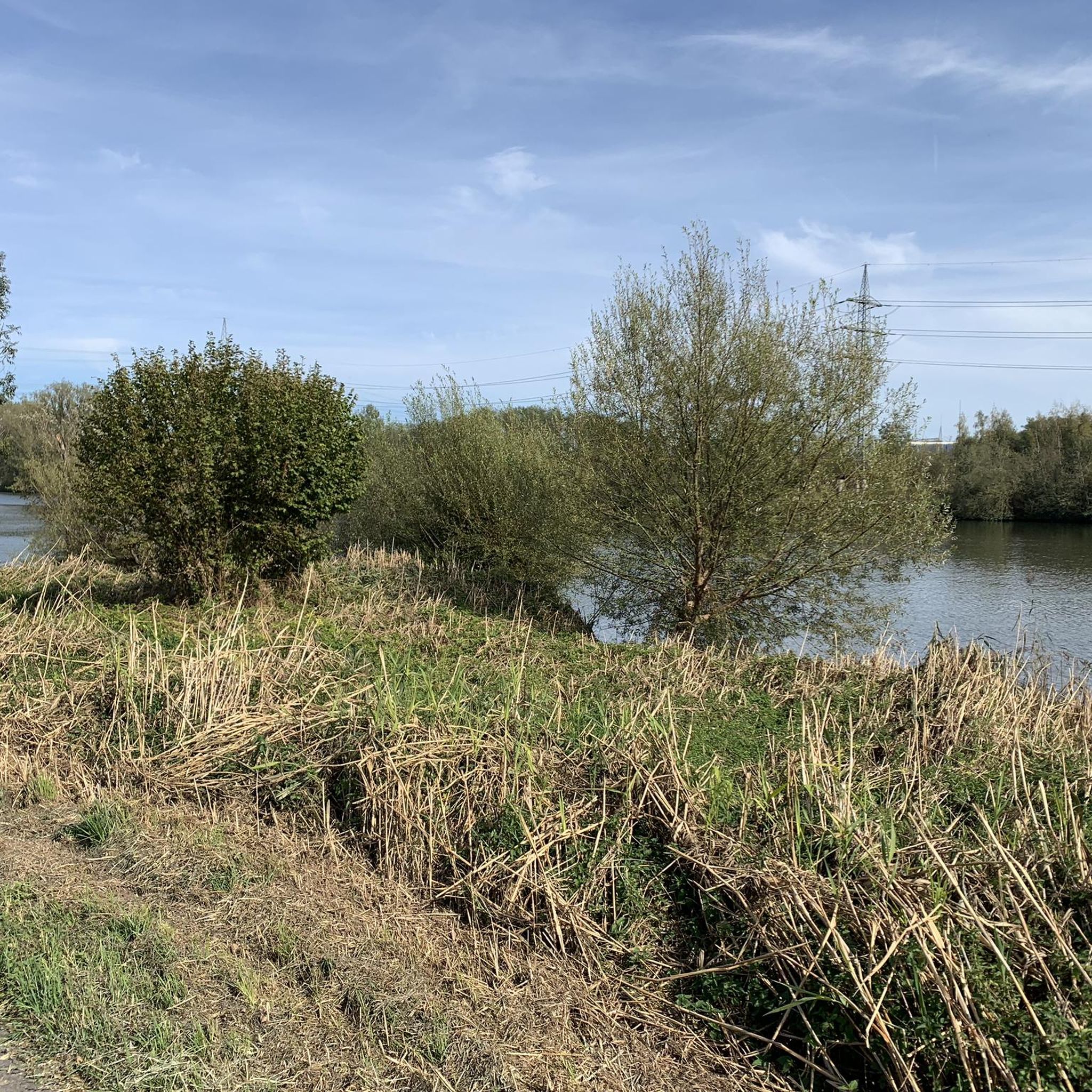
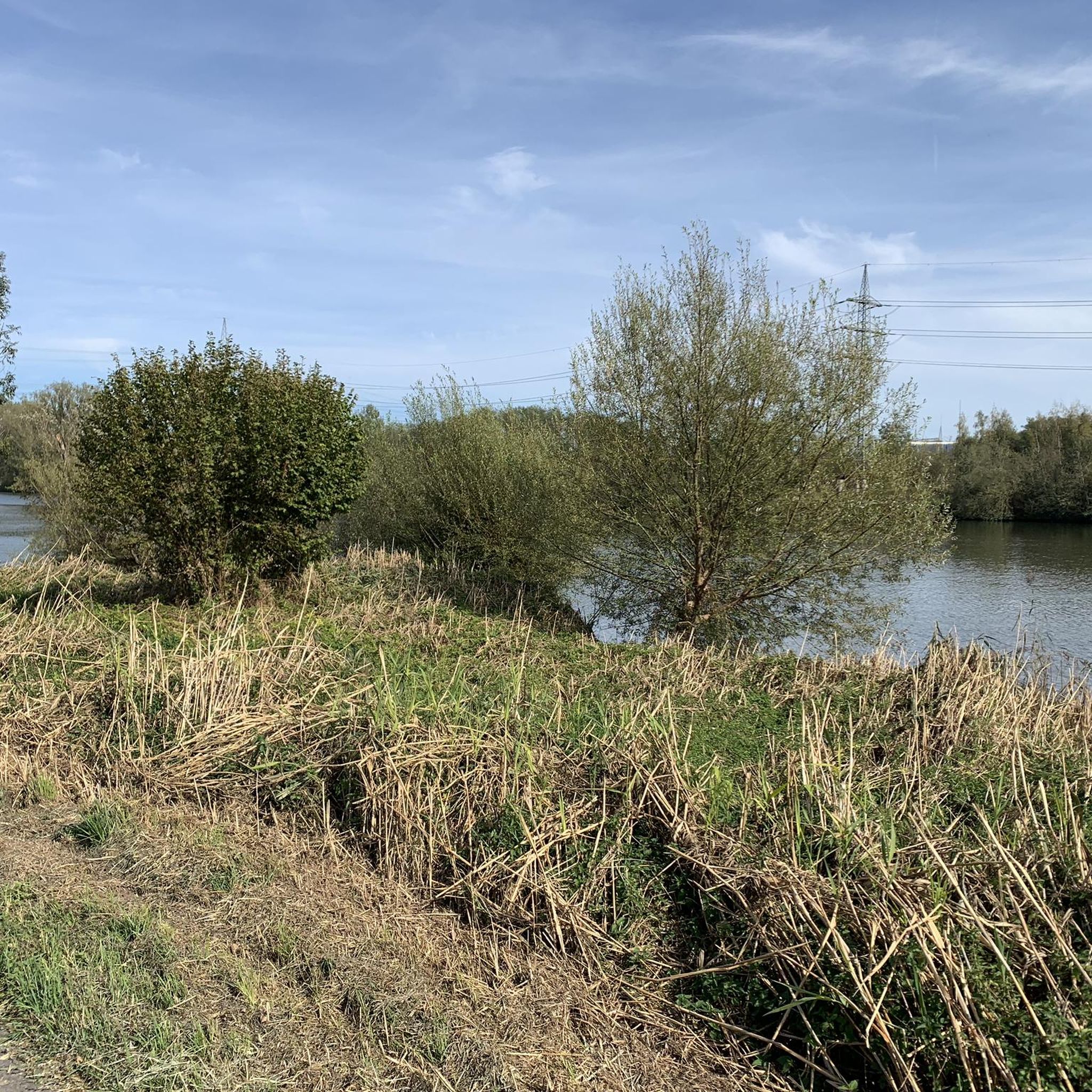
One of many small idyllic spots along the Main River, ideal for a rest or a picnic.
0
0

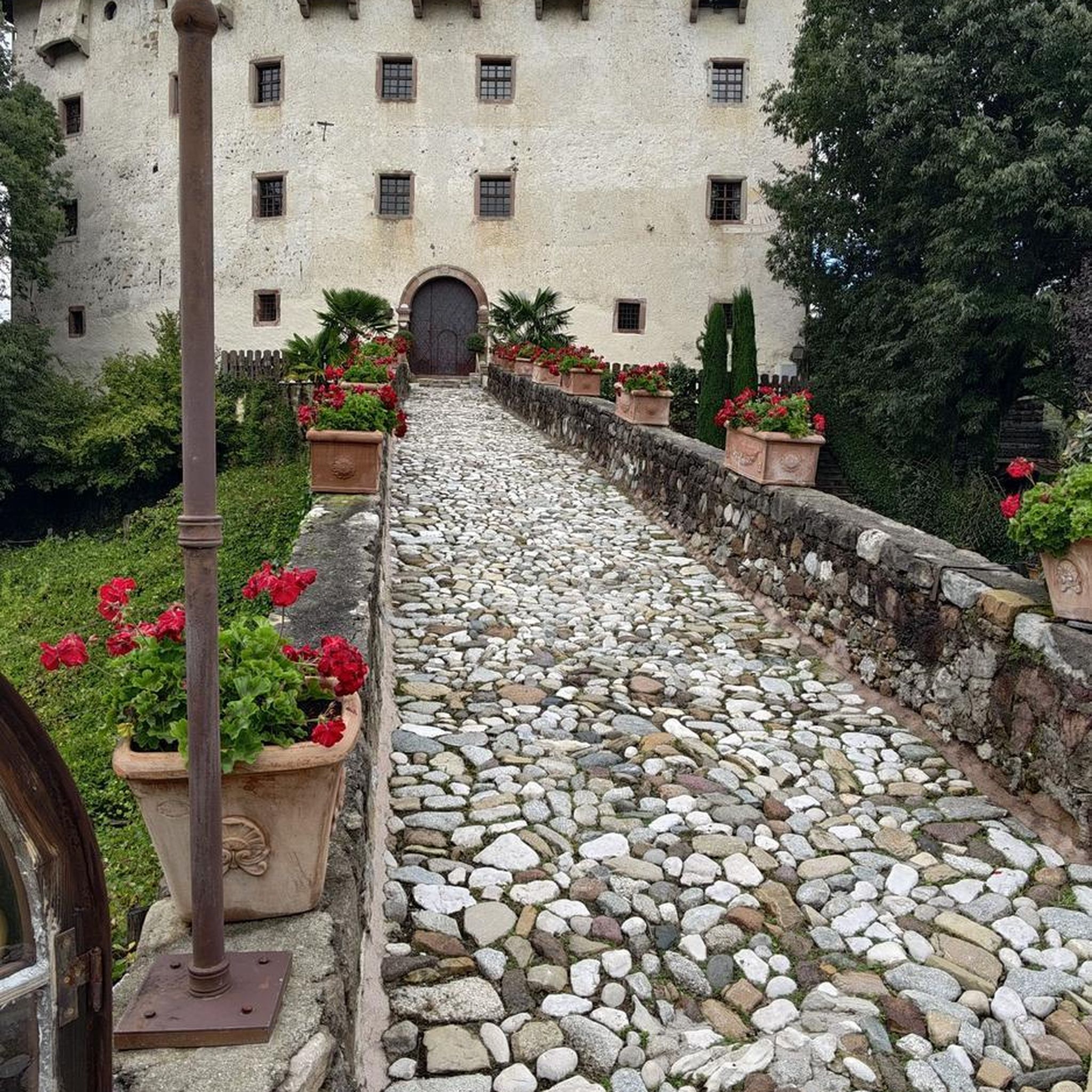
Built in 1914/1915. Today it houses the Karlstein Cultural Association.
0
0


The large turbine is very impressive.
1
0
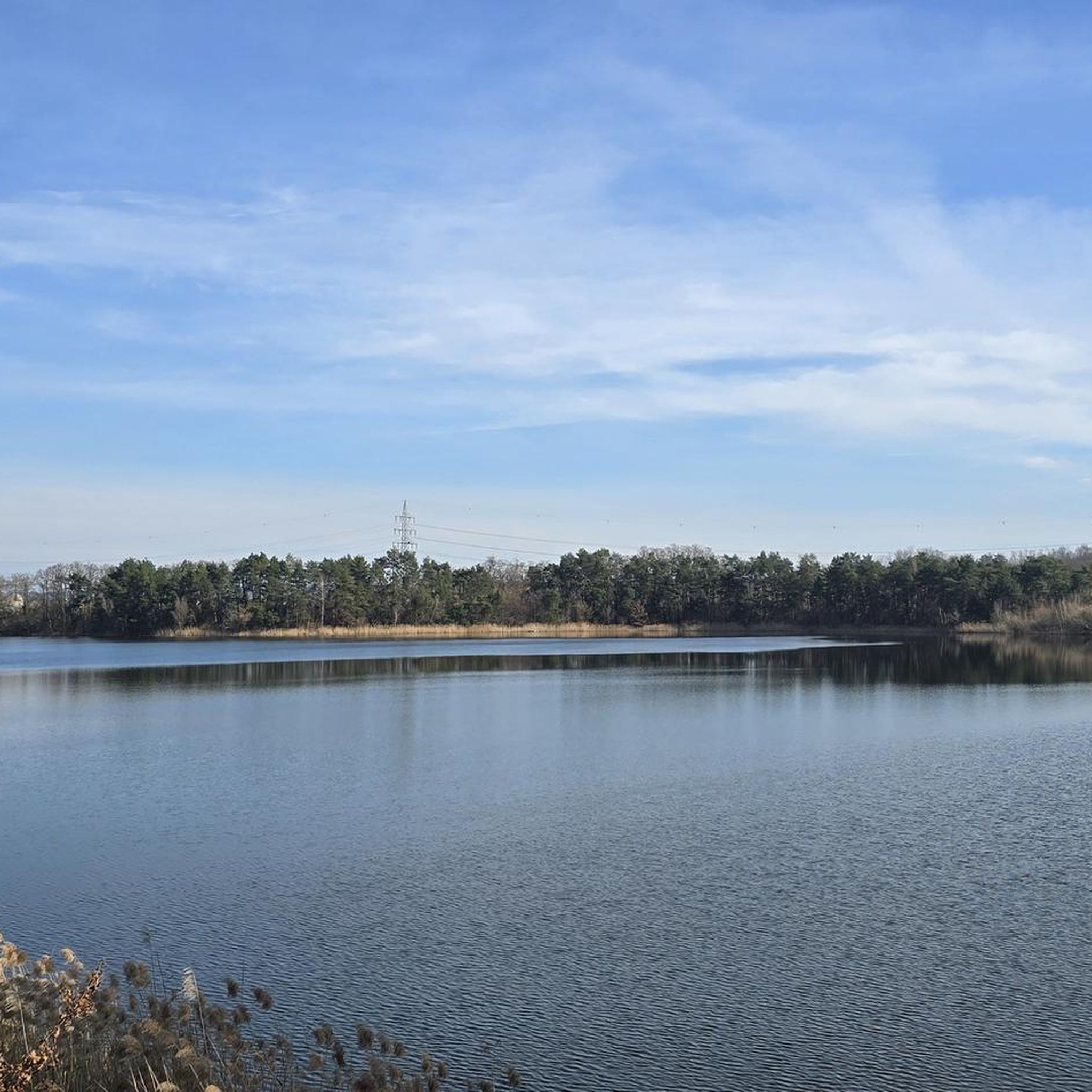
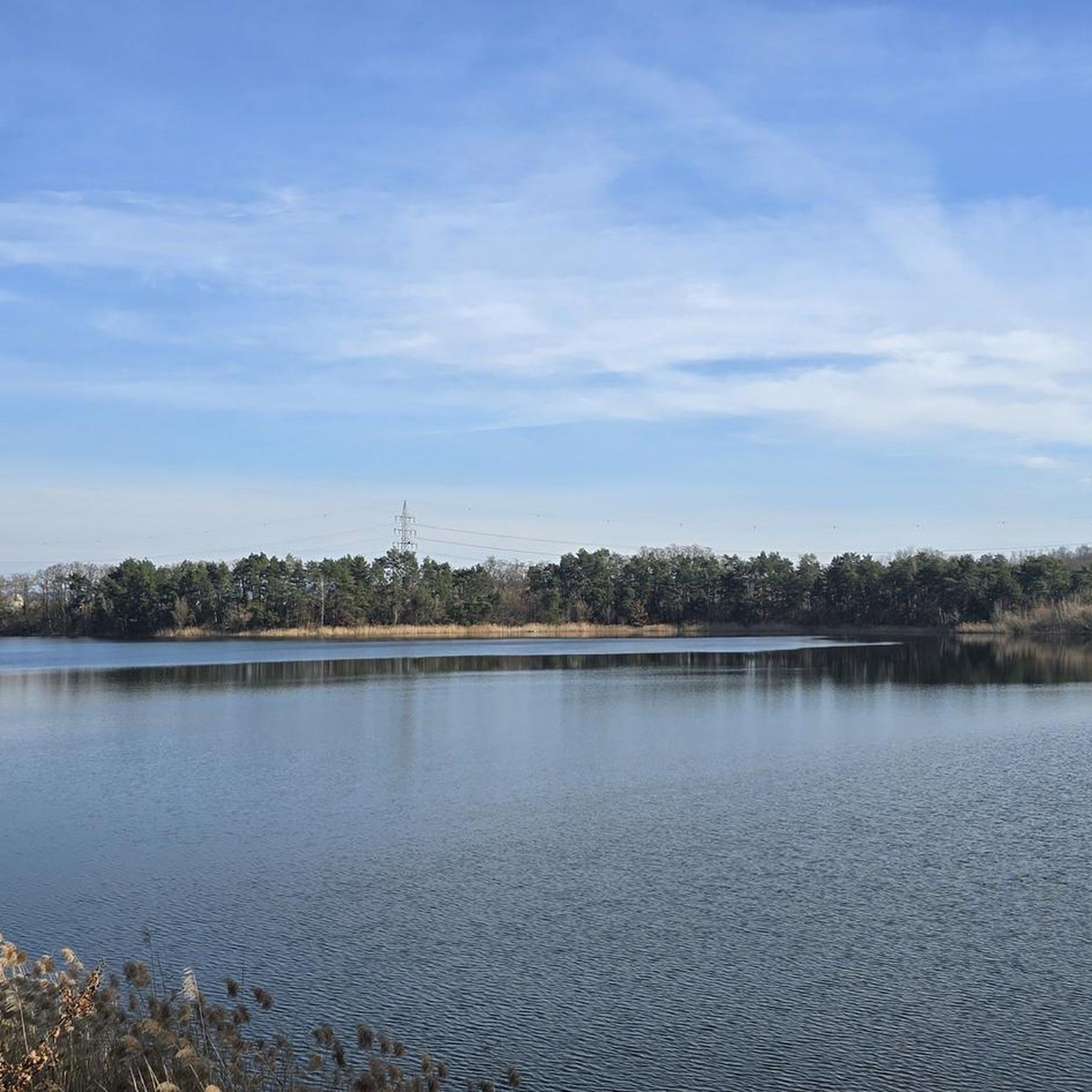
The observation platform is a great thing. From here you have a fantastic view of/over Lake Gustav, great.
1
0

The Kahl experimental nuclear power plant (VAK for short, rarely RWE-1) was the first nuclear power plant in Germany. The plant was located near Kahl and was situated on the river Main. The plant was located in the municipality of Karlstein am Main and was completely dismantled by 2010. The Großwelzheim nuclear power plant was located directly next to the plant.
1
0
The Gustavsee was created in the mid-1920s in the former brown coal open-cast mine near Großwelzheim in what is now the municipality of Karlstein. Over the course of a varied history of use, the approximately 25-hectare lake has developed into an important habitat for water birds. With its belt of reeds and woodland and a water surface that is ice-free in winter, the Gustavsee offers water birds and other inhabitants a reliable source of breeding, resting and food. Nature observations in this little paradise have hardly been possible until now, as the lake is completely fenced in and is mostly hidden behind bushes and trees. The Spessart Nature Park and the municipality of Karlstein have therefore built an observation platform on the western shore of the Gustavsee.
1
0
Frequently Asked Questions
How many hiking trails are available around Gustavsee?
There are over 1300 hiking routes around Gustavsee, offering a wide range of options for different skill levels. More than 940 of these are easy, while over 380 are moderate, and about 30 are considered difficult.
What kind of natural features can I expect to see while hiking near Gustavsee?
Gustavsee is a protected nature reserve, offering a unique landscape shaped by its past as a brown coal mine. You'll find the deep, groundwater-fed Gustavsee itself, which is a significant bird sanctuary. The area also features the 'Große Halde' or 'Kipp,' a wooded hill formed from former mining waste, providing elevated perspectives. Trails also wind along the Main River, offering diverse scenery.
Are there any good spots for birdwatching around Gustavsee?
Yes, Gustavsee is designated as a bird sanctuary (Vogelschutzgebiet Gustavsee) and is an excellent spot for birdwatching. It's a significant resting and wintering ground for various water birds, including great crested grebes, little bitterns, and kingfishers. An observation platform on the western shore, erected in October 2023, offers expansive views across the lake for enhanced nature observation.
Are there any circular hiking routes around Gustavsee?
Yes, many routes around Gustavsee are circular. For example, the easy Chapel of Reflection loop from Kahl am Main is a popular choice, leading through local woodlands. Another option is the Westernmost Point of Bavaria – Gustavsee Viewpoint loop from Kahl am Main, which offers views of the lake.
What do other hikers enjoy most about the trails in Gustavsee?
The area is highly rated by the komoot community, with an average score of 4.6 stars from over 6,800 reviews. Hikers often praise the unique blend of natural beauty and historical context, the peaceful lakeside paths, and the opportunities for birdwatching. The varied terrain, from the 'Kipp' hill to the Main River banks, is also frequently highlighted.
Are there any family-friendly hiking options around Gustavsee?
Yes, many of the trails around Gustavsee are suitable for families, especially the numerous easy routes. The area's flat terrain along the lake and river, combined with the interesting birdlife, makes for an engaging outdoor experience for all ages. The observation platform is also a great point of interest for families.
Can I bring my dog on the hiking trails in Gustavsee?
Generally, dogs are welcome on hiking trails around Gustavsee. However, as it is a protected nature reserve and bird sanctuary, it's important to keep dogs on a leash to protect the local wildlife and ensure a peaceful experience for all visitors. Always check local signage for specific restrictions.
Are there any historical points of interest to explore while hiking?
Gustavsee has a unique history, originating from brown coal mining. The 'Große Halde' or 'Kipp' is a direct result of this past, now transformed into a thriving forest. Nearby, you can also find points of interest like the 'Turbine of the Former Experimental Nuclear Power Plant Kahl,' which adds an intriguing layer to the hiking experience, reflecting the area's industrial transformation into a natural habitat.
What is the best time of year to hike around Gustavsee?
Gustavsee offers unique experiences throughout the year. Spring and autumn are ideal for comfortable hiking temperatures and vibrant foliage. Winter is particularly special for birdwatching, as the deep lake rarely freezes, providing a crucial food source for overwintering birds. The new observation platform enhances viewing opportunities year-round.
Are there any longer, more challenging routes for experienced hikers?
While many routes are easy, there are options for longer hikes. The Westernmost Point of Bavaria – Mainuferweg near Karlstein loop from Kahl am Main is a moderate 11.9 km trail that takes about 3 hours to complete, leading through riverside landscapes. There are also about 30 routes classified as difficult for those seeking a greater challenge.
Is there parking available for hikers near Gustavsee?
Yes, there are parking options available in the vicinity of Gustavsee and its surrounding towns like Kahl am Main and Karlstein am Main, which serve as starting points for many trails. Specific parking details can often be found on individual route descriptions on komoot.
Can I reach the hiking trails around Gustavsee using public transport?
Gustavsee is accessible via public transport, particularly through nearby towns like Kahl am Main and Karlstein am Main. These towns often have train or bus connections that can bring you close to various trailheads. It's advisable to check local public transport schedules for the most convenient options to your chosen starting point.
Most popular routes around Gustavsee

Get inspired with the komoot mobile app


Explore more
Browse the best Hikes in other regions.
