The best cycling routes around Woodacre
4.5
(240)
1,809
riders
97
rides
Touring cycling around Woodacre, California, offers diverse landscapes characterized by towering redwood forests, meandering creeks, and varied terrain including hills and open space preserves. The region features well-maintained trails and fire roads, providing routes through lush forests and along waterways. Cyclists can find both paved and unpaved segments, with elevations ranging from creek-side paths to higher points offering expansive views.
Best touring cycling routes around Woodacre
- The most popular touring cycling route is White Hill and Blue Ridge Fire Roads…
Last updated: October 7, 2026
14.5km
01:28
450m
450m
The White Hill and Blue Ridge Fire Roads Loop offers a dynamic touring cycling experience through Marin County's diverse landscapes. You'll pedal through pockets of California bay and coast live…
4.8
(6)
69
riders
48.9km
03:01
470m
470m
Hard bike ride. Very good fitness required. Mostly paved surfaces. Suitable for all skill levels.

58
riders
47.4km
04:55
1,410m
1,410m
Hard bike ride. Very good fitness required. Mostly paved surfaces. Suitable for all skill levels.
39
riders
41.3km
03:02
940m
940m
Hard bike ride. Very good fitness required. Mostly paved surfaces. Suitable for all skill levels.
5.0
(1)
26
riders
36.7km
03:14
750m
750m
Hard bike ride. Very good fitness required. Mostly paved surfaces. Suitable for all skill levels.
Get access to more routes and recommendations from other explorers.
Already have an account?
Our route recommendations are based on thousands of hikes, rides, and runs completed by other people on komoot.
Start today with a free account
Your next adventure awaits.
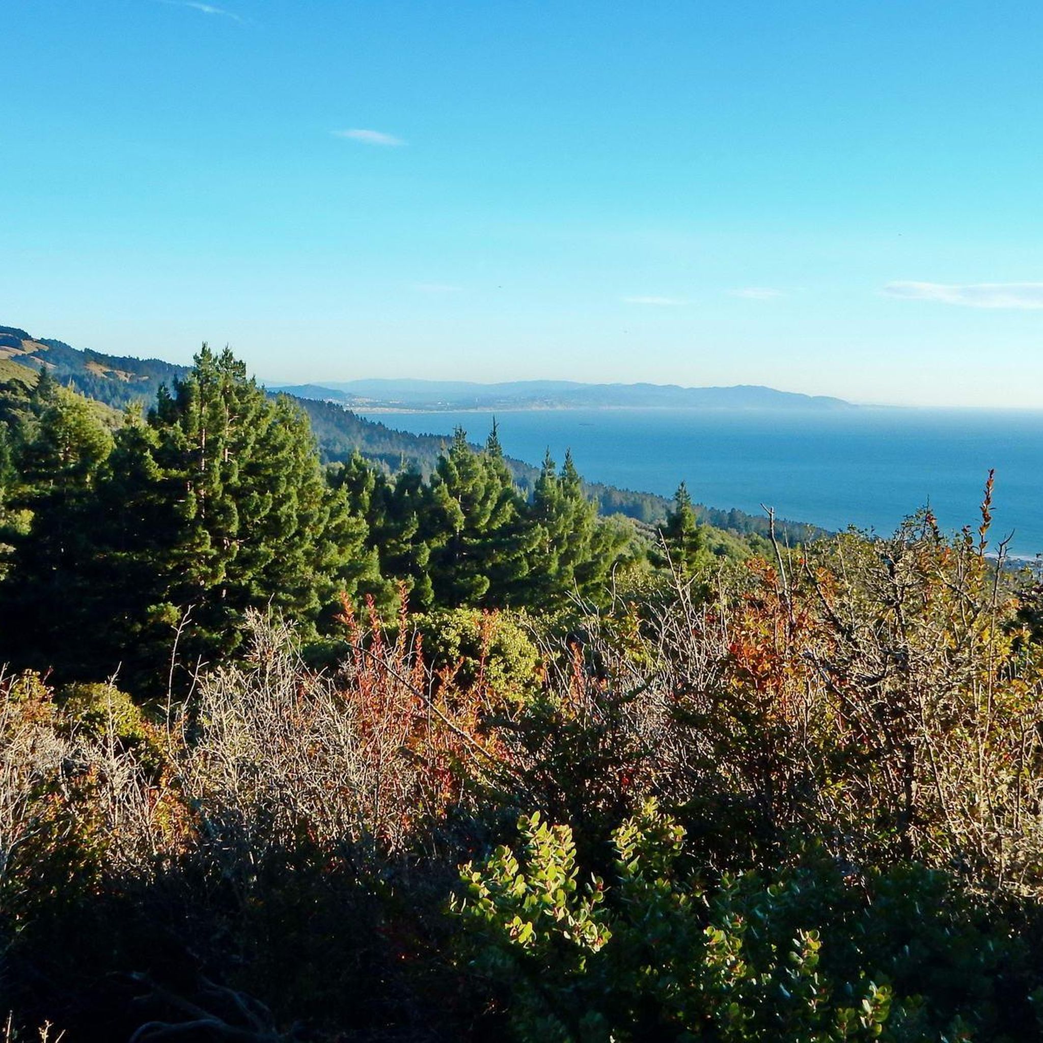
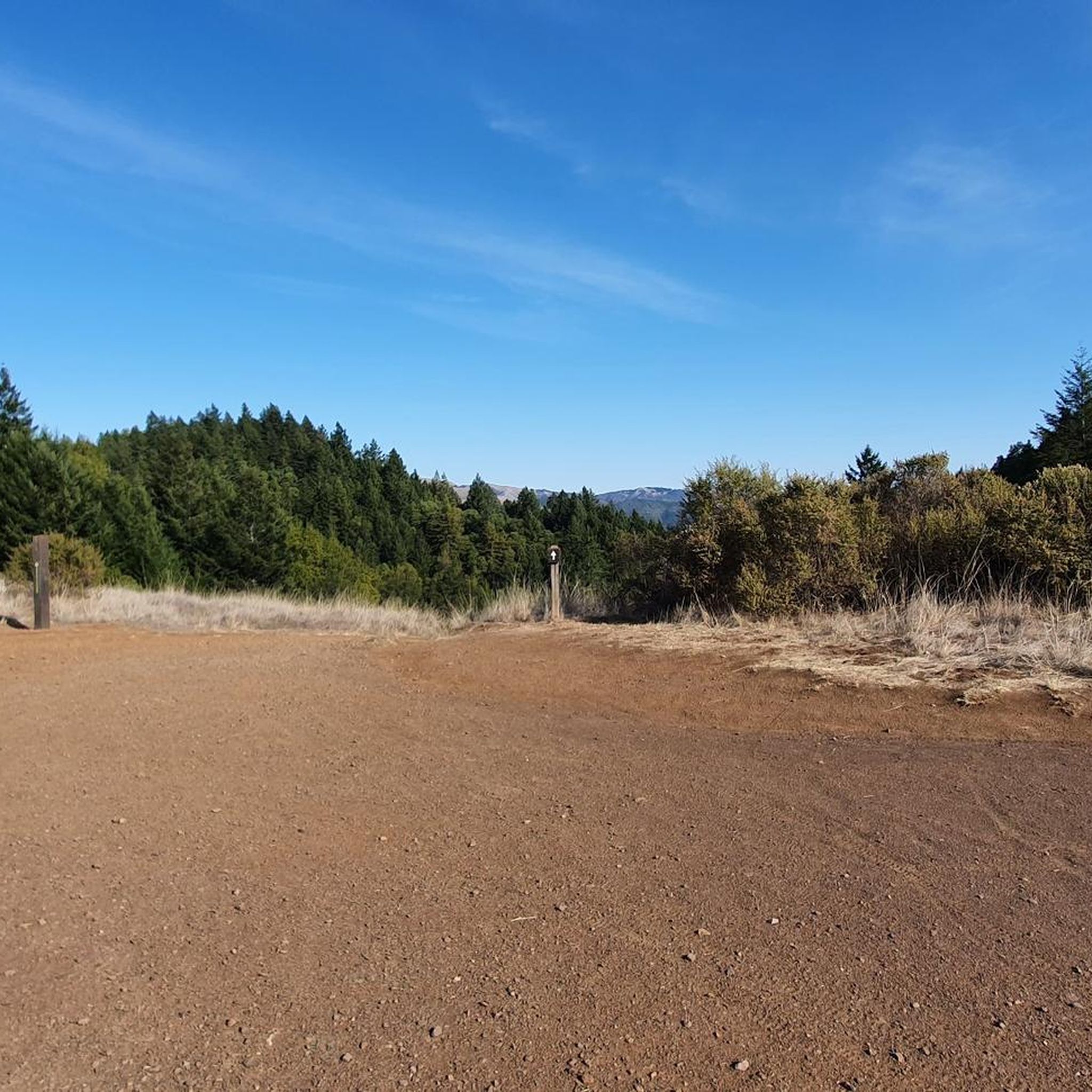
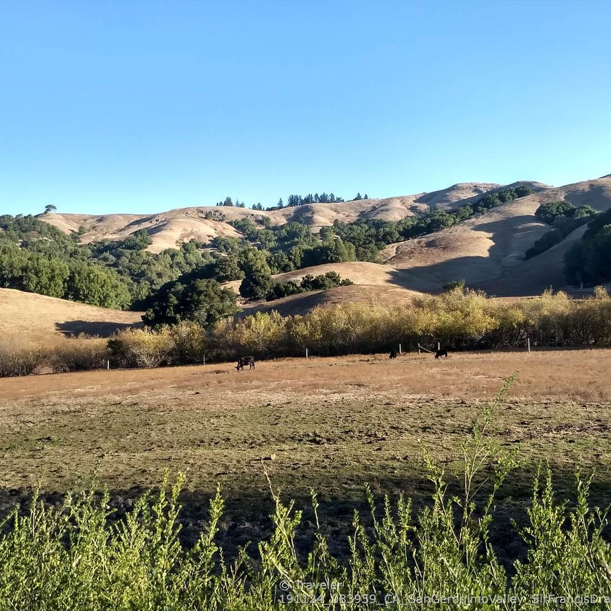
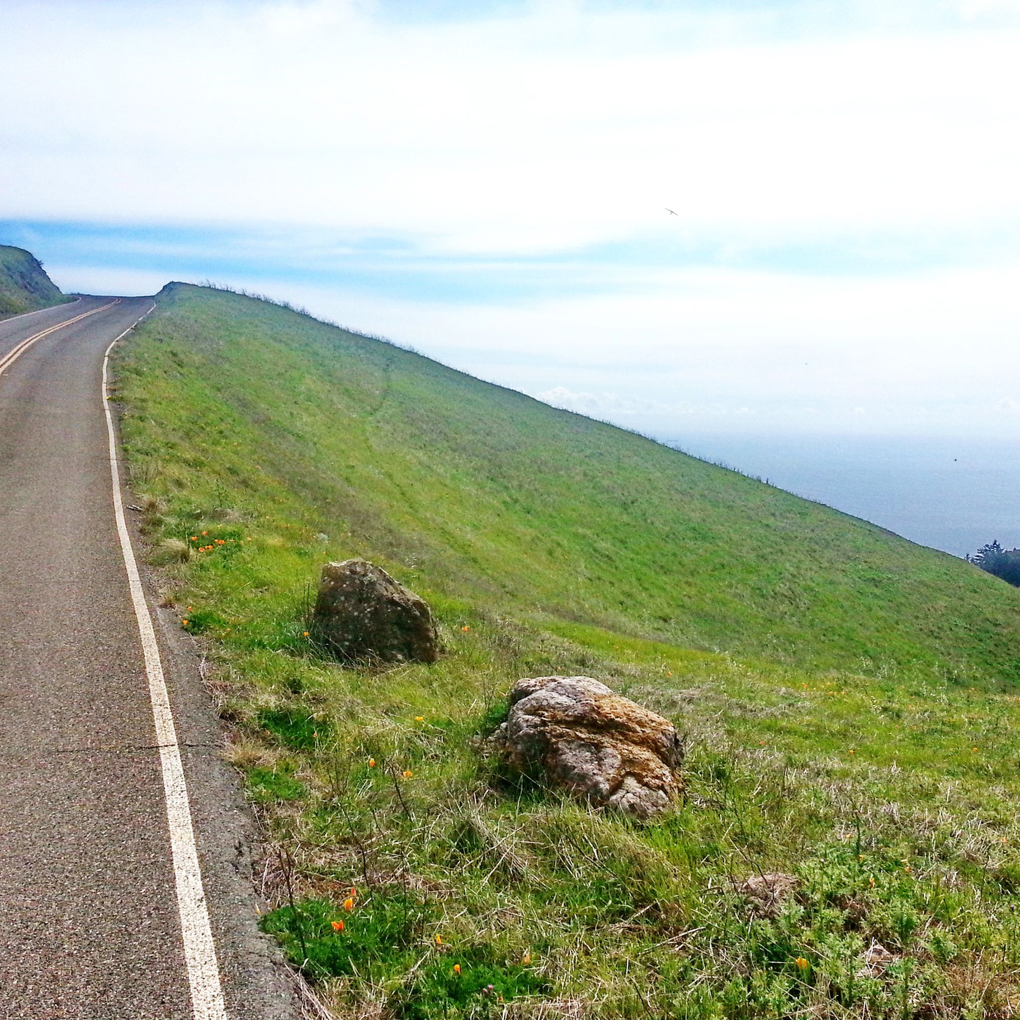
Tips from the Community

An absolute must-see for cycling enthusiasts! This museum in Fairfax tells the story of nearly 200 years of cycling history, from 19th-century velocipedes to modern racing bikes. It's also home to the Mountain Bike Hall of Fame, featuring unique specimens and stories about the pioneers of mountain biking. The collection is impressive and authentic—no replicas, but real bicycles that showcase the evolution of technology and design. An inspiring place where you can truly feel the passion for cycling.
1
0

Mount Tam East Peak offers some of the most majestic views north of the bay. From this vantage point, you can see all of Marin, along with Point Reyes to the north and Oakland and San Francisco to the south. The stunning panoramic vistas make the journey well worth the effort. There are restrooms and picnic tables, ideal for a snack or lunch while you capture some incredible photos.
0
0

Created by the construction of Seeger Dam on the Nicasio Creek in 1961, this shallow reservoir covers 845 acres and is part of the Marin Municipal Water District
0
0


Often busy on weekends, this is a great spot to take moment before/after summiting Mt Tam. There are spigots to fill up water and bathrooms that are open during park hours. The parking lot is very close for those that drive up. There is access to MANY trails for those on foot/bike.
0
0

At this point on Sky Oaks Road, there is a junction with Shaver Grade Road, which connects with a dense network of trails and dirt roads near Bald Hill in the Mount Tamalpais State Park. From here, you can continue on the paved Sky Oaks Road or go arond the gate on to the gravel Shaver Grade Road.
0
0

Usually some vendors at this intersection for some fresh fruit! Views of Black Mountain are beautiful.
1
0
Nice stop for a rest, there are port o potties and a general store for goodies!
1
0
Frequently Asked Questions
How many touring cycling routes are available around Woodacre?
There are over 80 touring cycling routes available around Woodacre, offering a wide range of options for different skill levels and preferences. The komoot community has explored these routes over 1,500 times.
What kind of terrain can I expect on touring cycling routes in Woodacre?
Woodacre's touring cycling routes feature diverse terrain, from paved paths along old railbeds to challenging fire roads with significant elevation changes. You'll encounter towering redwood forests, meandering creeks, and open space preserves. Routes like the White Hill and Blue Ridge Fire Roads Loop offer challenging climbs and expansive views, while the Cross-Marin Trailhead – Point Reyes Station loop from Woodacre follows Lagunitas Creek through redwood forests on mostly paved surfaces.
Are there any family-friendly touring cycling routes in the Woodacre area?
Yes, the region offers options suitable for families. The Cross Marin Trail, which is part of the Cross-Marin Trailhead – Point Reyes Station loop from Woodacre, is a paved, two-lane bike path running through Samuel P. Taylor State Park. It follows an old railbed along Lagunitas Creek through redwood forests, providing a relatively flat and scenic ride ideal for families.
Can I find circular touring cycling routes near Woodacre?
Many touring cycling routes around Woodacre are designed as loops, allowing you to start and end at the same point. Examples include the White Hill and Blue Ridge Fire Roads Loop, the West Point Inn – Alpine Lake - Bon Tempe Dam loop from Fairfax, and the Lake Lagunitas Dam – Eldridge Grade Fire Road 🚵 loop from Fairfax.
What are some notable natural features or landmarks to see along the touring cycling routes?
You'll encounter stunning natural features and landmarks. The routes often pass through Samuel P. Taylor State Park with its towering redwoods and Lagunitas Creek. You can also explore beautiful lakes like Phoenix Lake, Alpine Lake, and Bon Tempe Lake. For specific viewpoints, consider routes that lead towards Mount Tamalpais State Park or the Marin Headlands for views of the San Francisco Bay and Golden Gate Bridge. The Pantoll Road offers fantastic vistas.
Are there routes suitable for advanced touring cyclists seeking a challenge?
Yes, Woodacre offers several challenging routes for experienced touring cyclists. The West Point Inn – Alpine Lake - Bon Tempe Dam loop from Fairfax is a difficult 29.1-mile route with significant elevation gain. Another demanding option is the Lake Lagunitas Dam – Eldridge Grade Fire Road 🚵 loop from Fairfax, which also features considerable climbs.
What is the best time of year for touring cycling in Woodacre?
The Woodacre area is generally pleasant for cycling year-round, but spring and fall offer ideal conditions with mild temperatures and less chance of extreme weather. Summer can be warm, especially on exposed sections, while winter might bring rain, though many days remain clear and cool. Checking local weather forecasts before your ride is always recommended.
Where can I find parking for touring cycling routes in Woodacre?
Parking is typically available at trailheads and designated parking areas within state parks and open space preserves. For example, Samuel P. Taylor State Park, which hosts parts of the Cross Marin Trail, has parking facilities. Natalie Coffin Greene Park near Phoenix Lake also offers parking and access to fire roads.
Are there any waterfalls accessible from touring cycling routes in Woodacre?
Yes, several waterfalls are located in the vicinity and can be accessed from or near touring cycling routes. Notable waterfalls include Laurel Dell Falls, Fairfax Falls 🌊, and Carson Falls. Some of these are reached via trails like the Cataract Trail 🌲 or Dawn Falls Trail, which may require dismounting and walking.
What do other touring cyclists say about the routes in Woodacre?
The touring cycling routes around Woodacre are highly rated by the komoot community, with an average score of 4.5 stars from over 160 reviews. Cyclists often praise the diverse landscapes, the tranquility of the redwood forests, and the variety of routes catering to different fitness levels.
Are there any routes that offer views of the Golden Gate Bridge?
Yes, some longer touring routes from the Woodacre area extend towards the Marin Headlands, offering spectacular views of the Golden Gate Bridge and the San Francisco Bay. The Golden Gate Bridge – View of the Golden Gate Bridge loop from Lagunitas-Forest Knolls is a challenging route that provides this iconic vista.
Most popular attractions around Woodacre

Get inspired with the komoot mobile app


Explore more
Browse the best Cycling routes in other regions.
