The best walks and hikes around Winter Gardens
4.9
(187)
1,134
hikers
41
hikes
Hiking around Winter Gardens offers a variety of trails primarily located within regional parks and preserves. The landscape features include lakes, restored wetlands, and river trails, providing diverse terrain for outdoor activities. The area is characterized by accessible parklands and natural spaces, with gentle topography and some moderate hills. This region is suitable for various hiking experiences, from lakefront paths to trails winding through nature preserves.
Best hiking trails around Winter Gardens
- The most popular hiking route is Valley View Truck Trail Loop, a 4.3 miles (7.0 km) trail that takes 1 hour 59 minutes to complete. This route features an easy difficulty grade with moderate elevation gain.
- Another top favourite among local hikers is Northeast Santee Loop, a moderate 9.6 miles (15.5 km) path. This route includes significant elevation changes, offering varied terrain.
- Local hikers also love the Lake Jennings Trail, a 9.7 miles (15.6 km) trail leading through varied landscapes around the lake, often completed in about 4 hours 29 minutes.
- Hiking around Winter Gardens is defined by accessible park trails, lake loops, and paths along riverbeds. The network offers options for different ability levels, from easy strolls to moderate climbs.
- The routes in Winter Gardens are highly rated by the komoot community with an average score of 4.9 stars from over 150 reviews. More than 1000 hikers have used komoot to explore Winter Gardens's varied terrain.
Last updated: October 4, 2026
4
hikers
6.96km
01:59
170m
170m
Embark on the Valley View Truck Trail Loop, an easy hiking route spanning 4.3 miles (7.0 km) with a gentle elevation gain of 552 feet (168 metres). You can expect to complete this loop in about 1 hour and 59 minutes, making it a perfect choice for a refreshing outing. As you hike, you will traverse diverse landscapes, from shady oak woodlands to fragrant coastal sage scrub, offering picturesque views of boulder-studded hills. On clear days, you might even catch panoramic vistas stretching across the San Diego River watershed, with wildflowers like flowering buckwheat adding splashes of white to the scenery. While mostly a wide dirt road, be aware that some sections are single track and can be rocky underfoot.
This accessible trail is located within the Crestridge Ecological Reserve in El Cajon, California. To begin your adventure, you will find convenient parking available directly at the trailhead. Before you set out, consider stopping by the reserve's visitor center, which provides helpful interpretive signs about the area's history and local wildlife. This is a great way to enhance your understanding of the natural environment you are about to explore.
The Valley View Truck Trail Loop offers a unique opportunity to experience the rich biodiversity of the Crestridge Ecological Reserve. This protected area is vital for preserving diverse habitats, including the oak woodlands and coastal sage scrub that you will encounter along the route. The reserve's focus on conservation means you are hiking through a carefully managed ecosystem, home to various plant and animal species. Its proximity to the San Diego River watershed also highlights its ecological importance in the wider region, making it a notable destination for nature enthusiasts.
5.0
(1)
2
hikers
1.55km
00:24
0m
0m
Embark on an easy hike along the Mast Park Loop, a tranquil 1.0-mile (1.6 km) route that follows the San Diego River. You'll find yourself surrounded by lush greenery, with a minimal elevation gain of just 15 feet (5 metres), making it accessible for everyone. This pleasant loop takes approximately 23 minutes to complete, offering a peaceful escape. As you walk, keep an eye out for the native plant garden, showcasing local riparian species like western sycamores and willows.
Mast Park is well-equipped for your visit, featuring a lighted loop trail path if you prefer evening walks. You'll find numerous amenities along the way, including benches for resting and interpretive signs to learn more about the area. The park also offers an expanded dog park, playgrounds, and picnic areas, making it a great spot for families and pet owners. Parts of the trail are wheelchair accessible, and dog walkers are always welcome on the route.
This versatile destination is perfect for observing diverse wildlife, including various bird species like great blue herons and Anna's hummingbirds. You might also spot western pond turtles and butterflies enjoying the riparian habitat. The trail's easy nature and comprehensive park facilities make it a notable choice for a quick, refreshing outdoor experience in the region.

1
hikers
15.5km
04:33
440m
430m
Embark on the Northeast Santee Loop for a moderate hiking adventure that spans 9.6 miles (15.5 km). This route challenges you with a total elevation gain of 1441 feet (439 metres), typically taking around 4 hours and 32 minutes to complete. You will navigate rugged terrain, featuring both wide fire roads and narrower singletracks, often with loose rock and sand underfoot. As you ascend through sage scrub and canyons, you'll be rewarded with sweeping panoramic views that stretch across San Diego and out to the distant ocean.
Given the minimal shade along the Northeast Santee Loop, planning your visit for cooler parts of the day is wise, especially in warmer seasons. An early morning start is often recommended to beat the heat. Always bring plenty of water to stay hydrated throughout your hike. You can find parking readily available at various trailheads located within Mission Trails Regional Park, which encompasses this area. Keep an eye out for local wildlife, including rattlesnakes and coyotes, as you explore.
This trail offers a robust workout for hikers seeking a challenging experience within the Santee area. The diverse landscape includes winding paths through native sage scrub and deep canyons. You might even discover blooming wildflowers if you hike in the spring months. The expansive views from higher points highlight the natural beauty of the region, making it a notable route for those who appreciate scenic vistas.
5.77km
01:28
20m
10m
Embark on an easy hike along the Walker Preserve Trail, a well-maintained path offering picturesque riparian views of the San Diego River. You will find lush green belts of trees and brush bordering the wide, smooth path of gravel or crushed granite. The route covers 3.6 miles (5.8 km) with a gentle elevation gain of just 53 feet (16 metres), making it a relaxing outdoor experience for all. As you walk, enjoy the scenic backdrop of rolling hills and distant purple mountains, including El Cajon Mountain, and keep an eye out for various bird species. This easy trail typically takes about 1 hour and 27 minutes to complete.
Planning your visit to the Walker Preserve Trail is straightforward, as parking is generally available, making access easy. The trail is well-equipped with amenities to enhance your experience, including benches, picnic areas, gazebos, and drinking fountains for both humans and pets. For your convenience, restrooms are accessible at Lakeside Baseball Park, which the trail connects to. This makes it an ideal spot for a pleasant day out, whether you are hiking solo or with company.
The Walker Preserve Trail stands out for its commitment to providing a comfortable outdoor experience, highlighted by its perfectly level and smooth surface. This makes it particularly accessible and enjoyable for a wide range of visitors. The preserve itself is a significant natural area, offering a tranquil escape with its diverse birdlife and scenic riverine environment. It is a notable destination within the region for those seeking an easy, amenity-rich trail.
15.6km
04:29
360m
360m
Embark on the Lake Jennings Trail for a moderate hiking experience spanning 9.7 miles (15.6 km). This route offers diverse terrain and scenic beauty, guiding you around the lake with views of surrounding mountains like El Cajon Mountain. You'll gain 1172 feet (357 metres) in elevation, taking approximately 4 hours and 29 minutes to complete. Look out for the old "Flume" bench on the northern side, which marks a scenic section along the ridge of El Monte Valley, ideal for capturing photographs. Despite its proximity to the city, the trail provides a true sense of immersion in nature.
When planning your hike, note that the full Lake Loop Trail is generally open on Fridays, Saturdays, and Sundays during standard lake operating hours. There is typically a day-use fee, often around $5, to access the trails, and parking is available on site. Be aware that dogs and bikes are usually not permitted on the main Lake Loop Trail, as the lake serves as a drinking water source. Many sections of the trail offer little shade, so consider starting your hike early in the morning, especially during warmer months.
The Lake Jennings Trail is a popular choice for those seeking a rewarding outdoor experience within Lake Jennings Park. The route's unique character is shaped by its role as a drinking water source, influencing access rules and maintaining its natural integrity. This trail stands out for its blend of accessible nature and practical considerations, making it a distinctive option for hikers in the region.
Get access to more routes and recommendations from other explorers.
Already have an account?
Our route recommendations are based on thousands of hikes, rides, and runs completed by other people on komoot.
Start today with a free account
Your next adventure awaits.

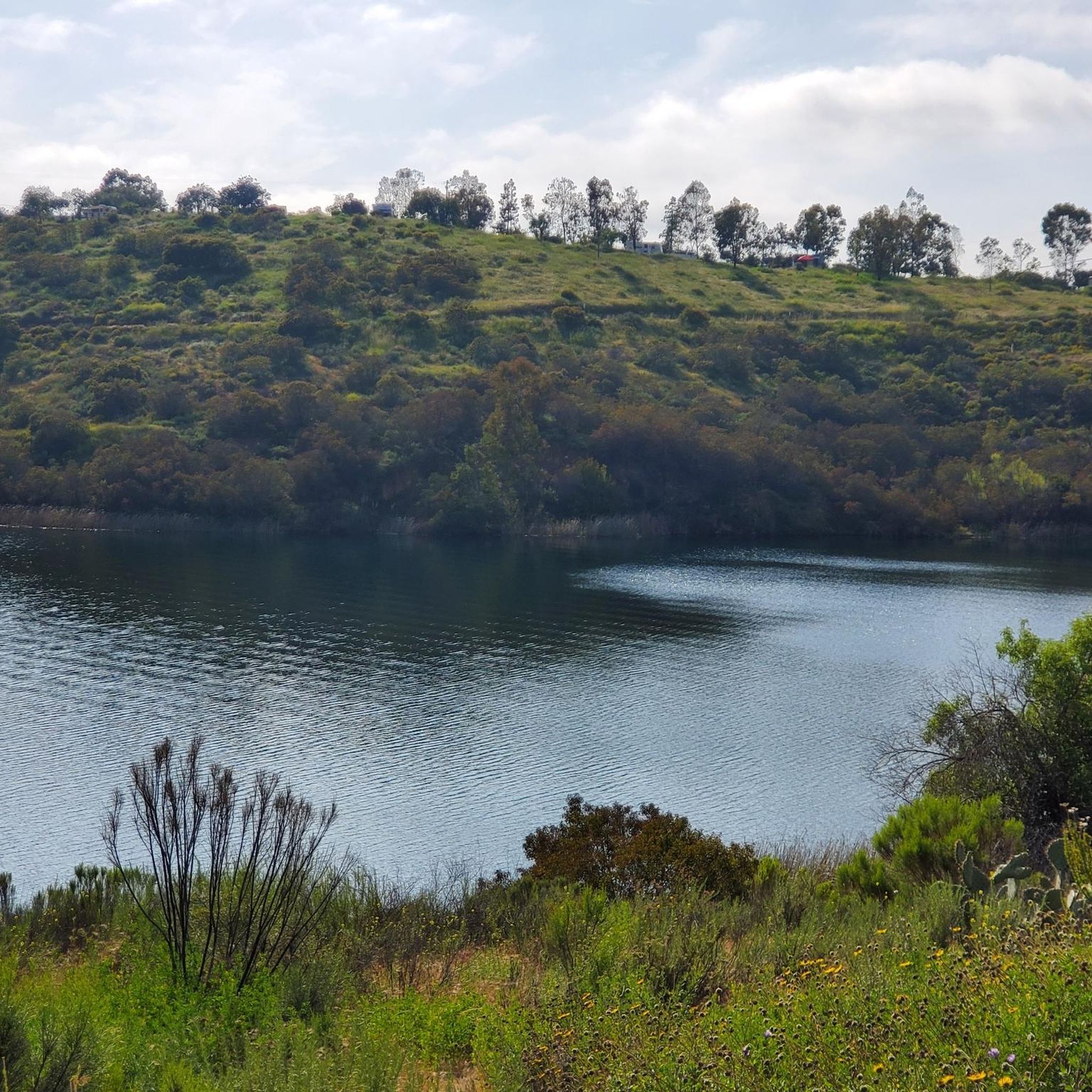
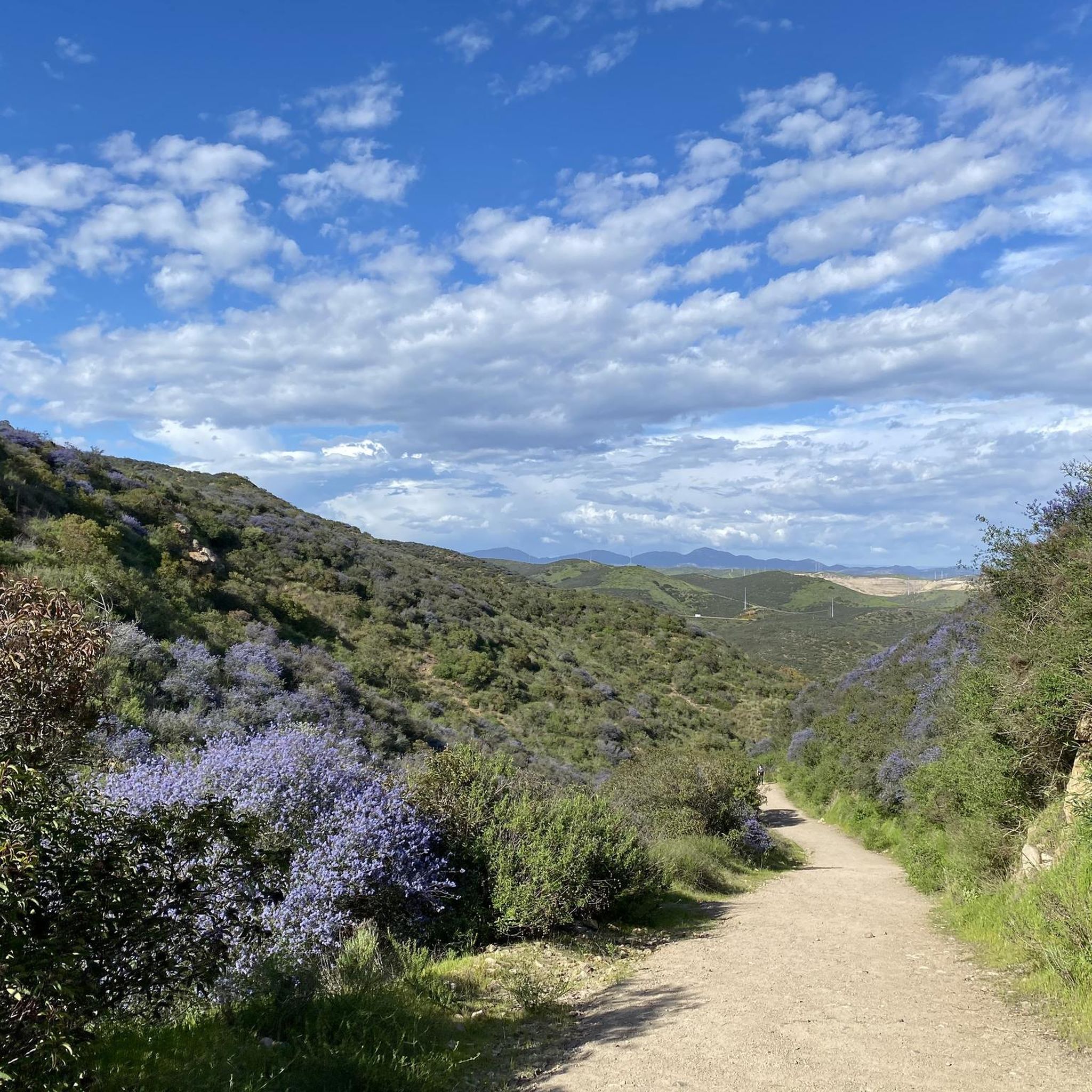
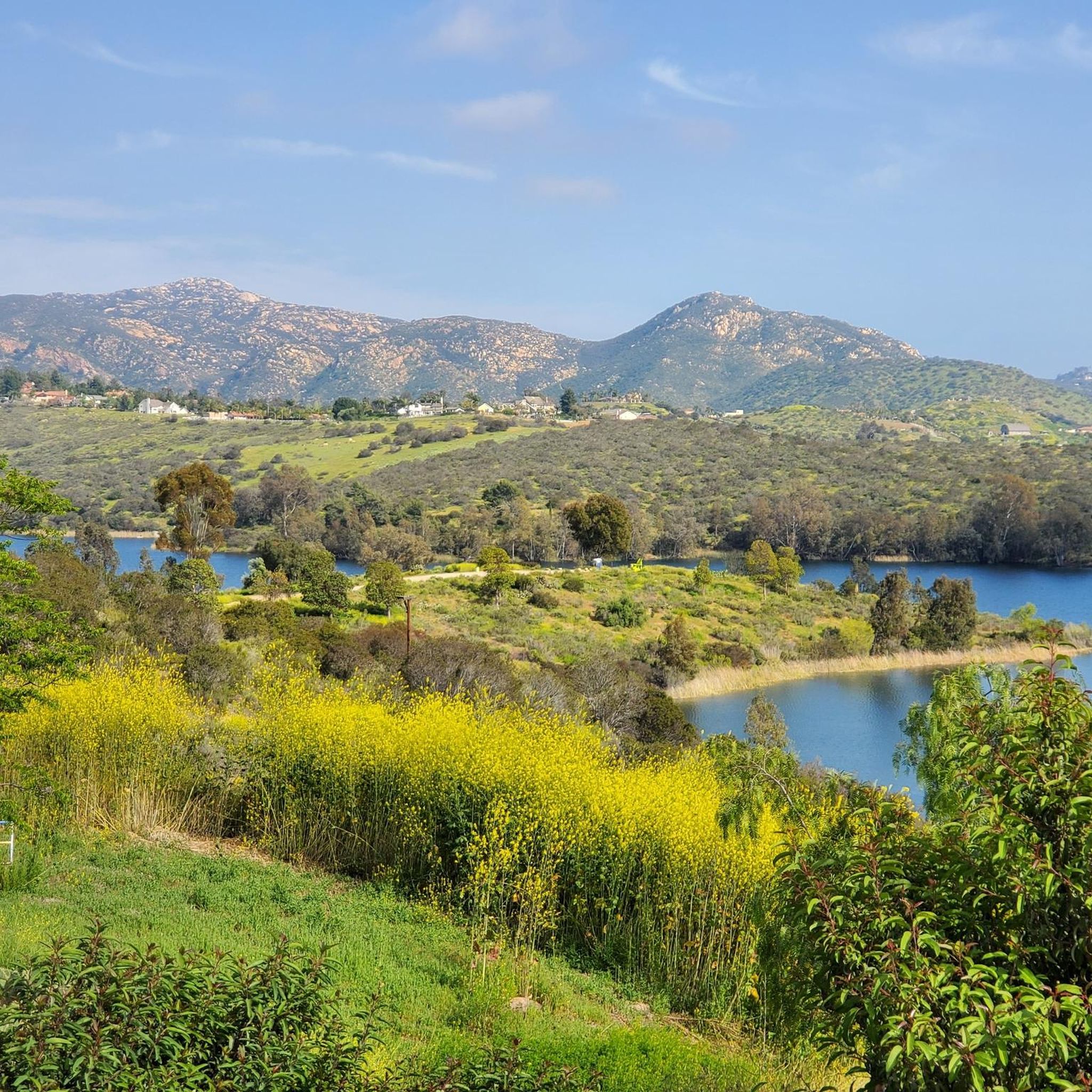
Tips from the Community

This paved, multi-use trail runs alongside the San Diego River, from shortly this side of Mission Valley down to the river's mouth and the ocean.
0
0
Frequently Asked Questions
How many hiking trails are available around Winter Gardens?
The Winter Gardens area, encompassing parks like Santee Lakes Recreation Preserve and Mission Trails Regional Park, offers over 25 hiking trails. These range from easy strolls around lakes to more challenging ascents with significant elevation gain.
What kind of hiking experiences can I expect in the Winter Gardens area?
You can expect a diverse range of hiking experiences. The area features accessible parklands, tranquil lake loops, and paths along riverbeds for leisurely walks. For those seeking more challenge, there are moderate climbs leading to panoramic views, such as the route to Cowles Mountain.
Are there family-friendly hiking options around Winter Gardens?
Yes, there are several excellent family-friendly options. Easy trails like the Santee Lake Park loop are perfect for families, offering scenic views and a relatively flat, short distance suitable for all ages. The Mast Park loop via San Diego River Trail is another great choice, providing a pleasant walk through parkland.
Can I find circular hiking routes in the Winter Gardens area?
Absolutely. Many trails in the Winter Gardens area are designed as loops, offering convenient circular walks. Popular options include the Santee Lake Park loop and the Mast Park loop via San Diego River Trail, both providing a complete experience without retracing your steps.
What are some notable natural features or landmarks to see while hiking?
The Winter Gardens area is rich with natural beauty and interesting landmarks. You can explore the serene waters of Lake Murray Reservoir or the Santee Lakes Recreation Preserve. For historical interest, visit the Old Mission Dam. Hikers can also enjoy panoramic vistas from View from Cowles Mountain or Kwaay Paay Peak.
Are there any trails with significant elevation gain for a more challenging hike?
Yes, for those looking for a challenge, the Mesa Trail to Cowles Mountain in Mission Trails Regional Park offers a moderate 5.5-mile path with significant elevation gain, rewarding hikers with expansive views from the summit of Cowles Mountain.
What do other hikers enjoy the most about hiking in Winter Gardens?
The hiking trails around Winter Gardens are highly rated by the komoot community, with an average score of 4.9 stars from over 140 reviews. Hikers frequently praise the well-maintained paths, the accessibility of the parklands, and the beautiful scenery, particularly around the lakes and river trails. The variety of routes catering to different skill levels is also a common highlight.
Are there any longer, moderate trails for a full day's hike?
For a longer, more immersive experience, consider the Santee Trail loop. This moderate 8.9-mile (14.3 km) route takes you through the Santee Lakes Recreation Preserve, offering extended time in nature with varied terrain.
What is the best time of year to go hiking in the Winter Gardens area?
The Winter Gardens area generally enjoys mild weather, making it suitable for hiking year-round. However, spring and fall often offer the most comfortable temperatures for longer hikes. Summers can be warm, so early morning or late afternoon hikes are recommended during those months. Winters are typically mild and pleasant for outdoor activities.
Are there any trails that offer views of lakes or rivers?
Many trails in the Winter Gardens area feature beautiful views of lakes and rivers. The Santee Lake Park loop provides continuous scenic views around the lake, while the Mast Park loop follows the San Diego River Trail, offering pleasant riverside scenery.
Are the hiking trails in Winter Gardens generally well-maintained and easy to navigate?
Yes, the trails in the Winter Gardens area, particularly within the regional parks, are generally well-maintained and clearly marked. This makes them easy to navigate for hikers of all experience levels, ensuring a pleasant and straightforward outdoor experience.
Most popular attractions around Winter Gardens

Get inspired with the komoot mobile app


Explore more
Browse the best Hikes in other regions.
