The best running trails around West Whittier-Los Nietos
3.5
(2)
172
runners
36
runs
Jogging around West Whittier-Los Nietos offers a diverse range of outdoor experiences within Los Angeles County. The area is characterized by its suburban setting with convenient access to natural features like the San Gabriel River and the Puente Hills Preserve. Runners can find routes along river paths, through various parks, and up challenging hills such as Turnbull Canyon and Workman Hill. This landscape provides a mix of paved trails and natural terrain suitable for different running preferences.
Best jogging routes…
Last updated: October 13, 2026
5
runners
13.5km
01:44
410m
400m
Challenge yourself on the 8.4-mile Workman Hill and Schabarum-Skyline Loop, a difficult jogging route with 1348 feet of elevation gain.
12
runners
14.1km
01:46
390m
390m
Hard run. Very good fitness required. Mostly paved surfaces. Suitable for all skill levels.

15
runners
12.2km
01:31
300m
300m
Hard run. Very good fitness required. Mostly paved surfaces. Suitable for all skill levels.
9
runners
18.6km
02:19
520m
520m
Hard run. Very good fitness required. Mostly paved surfaces. Suitable for all skill levels.
5
runners
4.26km
00:26
20m
20m
Easy run. Great for any fitness level. Mostly paved surfaces. Suitable for all skill levels.
Get access to more routes and recommendations from other explorers.
Already have an account?
Our route recommendations are based on thousands of hikes, rides, and runs completed by other people on komoot.
Start today with a free account
Your next adventure awaits.



Tips from the Community

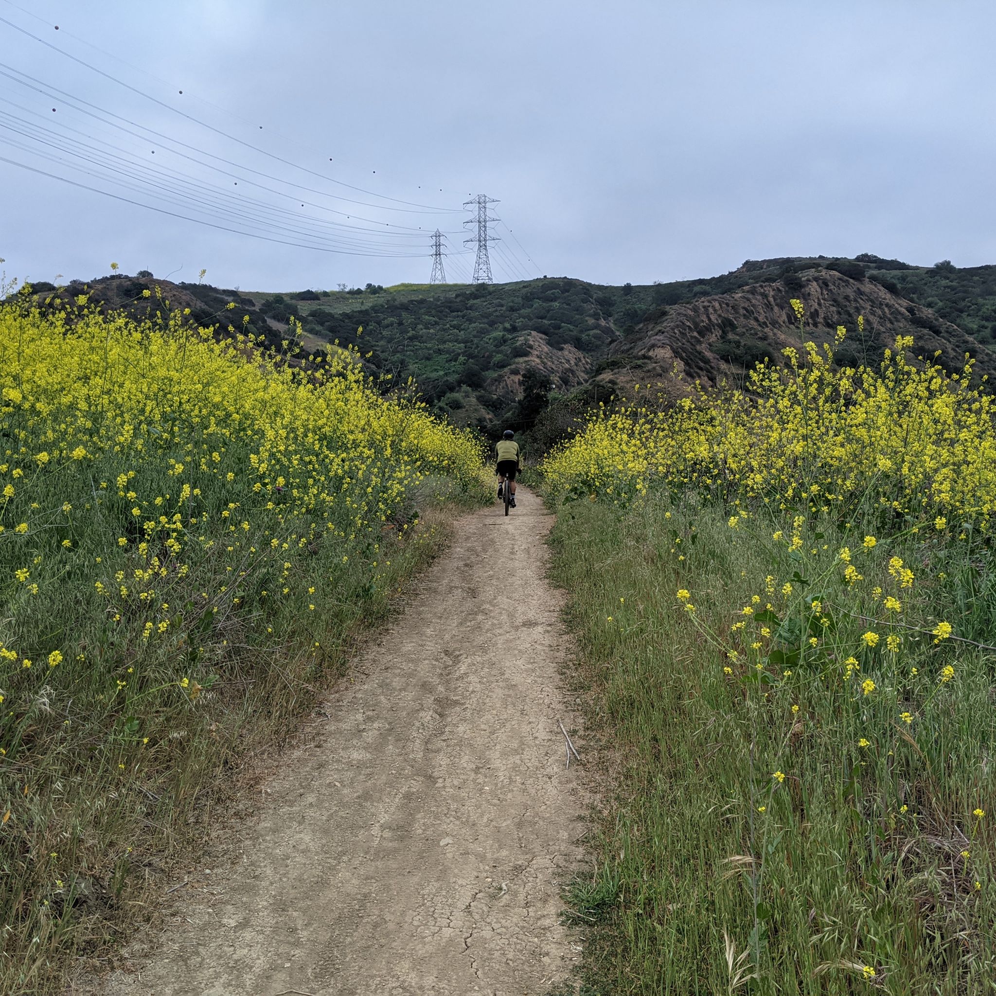
The Workman Ridge Trail is a well-maintained gravel road with wonderful views of the valley below. There are several steep inclines, but it is worth it for the view.
2
0

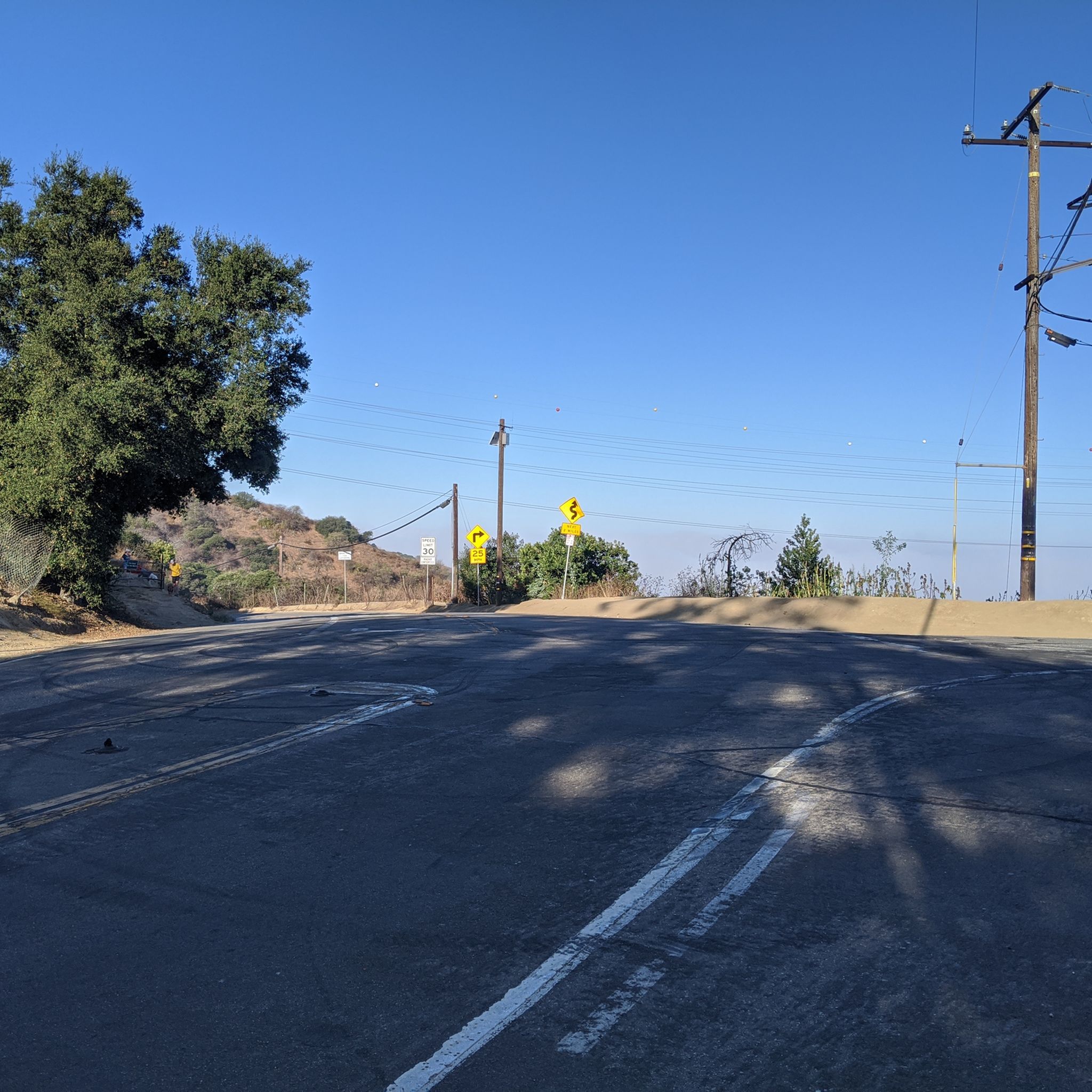
Ride through Turnbull Canyon and be rewarded with stunning views of Los Angeles County and surround yourself with a mix of natural beauty and historical intrigue. The road climbs with an average gradient of 5.2%, gaining 775 feet in elevation and peaking at 1,161 feet. Be cautious of fast-driving vehicles on the winding roads.
1
0

be cautious, lots of young fast and furious wannabe racers out on the canyon at all hours of the day. listen to your surroundings. be safe
0
0

As you bike near Turnbull Debris Basin, observe its crucial function in storing runoff and sediment, acting as a safeguard against downstream flooding and sedimentation, and protecting human life and property. Positioned along the canyon road en route to the Turnbull Canyon Trailhead, it plays a vital role in mitigating flood risks downstream, ensuring community safety.
0
0
As you hike near Turnbull Debris Basin, observe its crucial function in storing runoff and sediment, acting as a safeguard against downstream flooding and sedimentation, and protecting human life and property. Positioned along the canyon road en route to the Turnbull Canyon Trailhead, it plays a vital role in mitigating flood risks downstream, ensuring community safety.
0
0
Turnbull Canyon, nestled in Whittier, offers panoramic views of Los Angeles County. Rich in history and surrounded by nature, it's a popular destination for outdoor enthusiasts.
0
1

The Puente Hills Preserve covers almost 4,000 acres and a number of different hiking trails without having to leave the city. Most of the trails are well-marked, well-kept, and easy to follow. There are a few different trailheads in the preserve, so you can start your run from a number of different spots.
0
0

Named after the Workman family, this point is the highest in the western hills, and your legs can feel it after reaching this point. It offers stunning panoramic views of the hills of the Puente Hills Preserve.
0
0
Frequently Asked Questions
How many running routes are available in West Whittier-Los Nietos?
West Whittier-Los Nietos offers a wide selection of outdoor experiences, with over 35 running routes documented on komoot. These routes cater to various fitness levels, ranging from easy strolls to challenging hill climbs.
Are there any easy or beginner-friendly jogging routes in the area?
Yes, for those seeking a gentler pace, West Whittier-Los Nietos provides several easy jogging routes. Parks like Murphy Ranch Park, Palm Park, and Pio Pico State Historic Park offer serene settings with well-maintained trails. The Greenway Trail is also a popular, relatively flat option for a relaxed run.
Where can I find challenging running trails with significant elevation gain?
For runners looking for a challenge, the Puente Hills Preserve and Turnbull Canyon offer routes with impressive elevation. Trails like Workman Hill and Schabarum-Skyline Loop and Whittier Hill loop from Whittier feature substantial climbs and rewarding views of Los Angeles County.
Are there any circular running paths in West Whittier-Los Nietos?
Yes, many routes in the area are designed as loops, perfect for a continuous run. For example, the Whittier Hill – View from Workman Hill loop from Whittier offers panoramic views, while the Whittier Hill – Puente Hills Preserve loop from Whittier takes you through scenic natural habitats.
What kind of scenery can I expect on the running routes?
Jogging routes in West Whittier-Los Nietos offer diverse scenery, from the suburban charm of local parks to the natural beauty of river paths and rolling hills. You can enjoy views along the San Gabriel River, explore the coastal sage scrub habitats of the Puente Hills Preserve, or experience the lush greenery of parks like Palm Park and Murphy Ranch Park.
Are there any notable landmarks or attractions along the running trails?
Yes, several routes offer access to interesting landmarks. You can run near the scenic Turnbull Canyon, or explore areas around the San Gabriel River, which features highlights like the Rio Hondo Bike Bridge and Bosque del Rio Hondo.
Are the running routes in West Whittier-Los Nietos suitable for families?
Many of the local parks, such as Whittier Narrows Recreation Area and Anaconda Park, offer paved paths and open spaces that are ideal for family-friendly runs or walks. These areas often have amenities like picnic spots and playgrounds, making them great for an outing with children.
What do other runners say about the trails in West Whittier-Los Nietos?
The running routes in West Whittier-Los Nietos are highly regarded by the komoot community, with an average score of 3.0 stars. Runners often praise the variety of terrain, from river paths to challenging hills, and the accessibility of natural spaces within the urban environment.
Are there any running routes accessible by public transport?
While specific public transport access varies by route, many parks and trails in West Whittier-Los Nietos are integrated into the local transportation network. It's advisable to check local bus routes for stops near major parks like Whittier Narrows Recreation Area or access points to the Greenway Trail.
Are there any dog-friendly running trails in the area?
Many parks and natural areas in West Whittier-Los Nietos welcome dogs, typically requiring them to be on a leash. The Greenway Trail and various paths within the Puente Hills Preserve are popular choices for running with your canine companion. Always check specific park regulations before you go.
What is the best time of year for jogging in West Whittier-Los Nietos?
West Whittier-Los Nietos enjoys a mild climate year-round, making it suitable for jogging in most seasons. Spring and fall offer particularly pleasant temperatures. During summer, it's best to run in the early morning or late afternoon to avoid the midday heat. Winters are generally mild and good for running.
Are there any routes that offer views of the San Gabriel River?
Yes, the area's proximity to the San Gabriel River provides excellent opportunities for scenic runs. The Rio Hondo and San Gabriel River bicycle paths, accessible from areas like Bosque del Rio Hondo, offer paved routes with views of the river, ideal for a refreshing run.
Can I find routes that combine urban and natural landscapes?
Absolutely. West Whittier-Los Nietos is unique in its blend of suburban settings with convenient access to natural features. You can start your run in a local park and quickly transition to river paths or the rolling hills of the Puente Hills Preserve, offering a dynamic and varied running experience.
Most popular routes around West Whittier-Los Nietos
Most popular attractions around West Whittier-Los Nietos

Get inspired with the komoot mobile app


Explore more
Browse the best Running Trails & Routes in other regions.
