The best road cycling routes around Vine Hill
4.5
(102)
2,801
riders
74
rides
Road cycling around Vine Hill offers diverse routes characterized by scenic waterways and varied terrain. The region features trails along the Carquinez Strait, providing views of the water and surrounding landscapes. Cyclists can explore routes that traverse both paved canal paths and more challenging roads with elevation changes. This area serves as a gateway to longer Bay Area loops, connecting different communities through dedicated cycling infrastructure.
Best road cycling routes around Vine Hill
- The most popular road cycling route is Carquinez Scenic Drive loop, a 30.4 miles (48.9 km) trail that takes 2 hours 31 minutes to complete. This moderate route offers expansive views of the Carquinez Strait.
- Another top favourite among local road cyclists is Carquinez Strait loop, a difficult 54.9 miles (88.3 km) path. This route provides extensive views of the Bay and connects various points along the strait.
- Local road cyclists also love the Iron Horse and Contra Costa Canal Trail Loop, a 16.1 miles (25.9 km) trail leading through paved canal paths, often completed in about 1 hour 19 minutes.
- Road cycling around Vine Hill is defined by routes along the Carquinez Strait, canal trails, and roads offering views of Mount Diablo. The network offers options for different ability levels, from easy canal paths to more challenging climbs.
- The routes in Vine Hill are highly rated by the komoot community with an average score of 4.5 stars from over 80 reviews. More than 2000 road cyclists have used komoot to explore Vine Hill's varied terrain.
Last updated: August 4, 2026
4.7
(6)
106
riders
48.9km
02:31
700m
700m
The Carquinez Scenic Drive loop offers a dynamic road cycling experience, covering 30.4 miles (48.9 km) with a moderate difficulty rating and 2297 feet (700 metres) of elevation gain, typically taking around 2 hours and 31 minutes. You'll pedal through rolling coastal hills, enjoying expansive views of the Carquinez Strait and the Sacramento River Delta. The route winds past oak woodlands and open grasslands, with the active railroad line adding a unique visual element below.
For planning your visit, Martinez is a practical starting point with good parking availability. Riding the loop in a clockwise direction is often suggested to tackle climbs on quieter roads. While the George Miller Trail offers a car-free paved path, be aware that other segments of the Carquinez Scenic Drive can be narrow with limited bike lanes, especially when passing through the charming waterfront towns. Late winter and early spring are ideal for experiencing the hills at their greenest.
This route is highly regarded by Bay Area cycling clubs for its unique blend of natural beauty and historical interest. It connects you with the confluence of the San Francisco Bay and the Sacramento-San Joaquin River Delta, offering views of Benicia's waterfront and even distant Mt. Diablo. The opportunity to cycle through historic towns like Crockett and Port Costa, combined with the scenic George Miller Trail, makes this a memorable ride.
5.0
(1)
48
riders
88.3km
04:22
1,170m
1,170m
The Carquinez Strait loop offers a challenging road cycling experience, winding through diverse landscapes where the San Francisco Bay meets the Sacramento-San Joaquin River Delta. You'll pedal past working waterfronts, vast rolling grasslands, and tranquil oak woodlands, all while enjoying expansive views of the strait and the distant peak of Mt. Diablo. The route includes dedicated pathways and sections with varied surfaces, providing a dynamic ride for those who love a good climb. It's a true 360-degree exploration of this unique confluence.
This difficult 54.9-mile (88.3 km) route features a substantial 3831 feet (1168 metres) of elevation gain, typically taking around 4 hours and 22 minutes to complete. It's best suited for experienced cyclists with good fitness levels, as you'll encounter significant climbs and some sections with mixed traffic. Plan to start early to make the most of the day and allow time to explore the charming downtowns along the way.
What makes this one of the popular bike routes in the Carquinez Strait area is its unique blend of natural beauty, historical significance, and the thrill of crossing two iconic bridges: the Alfred Zampa Memorial Bridge and the Benicia-Martinez Bridge. It's a classic among Bay Area cycling clubs, celebrated for connecting both sides of the strait and offering a comprehensive exploration of the region's diverse environments.

Sign up for free
4.5
(2)
19
riders
25.9km
01:19
130m
130m
Embark on an easy road cycling journey along the Iron Horse and Contra Costa Canal Trail Loop, a 16.1 miles (25.9 km) route that takes about 1 hours and 19 minutes to complete. You will experience a gentle elevation gain of 423 feet (129 metres) as you pedal through varied urban and suburban settings. Enjoy the refreshing natural scenery along the Contra Costa Canal Trail, where you might spot local birds and catch glimpses of Mount Diablo in the distance.
This route is highly accessible, connecting several cities and Bay Area Rapid Transit (BART) stations, making it easy to reach even without a car. Be aware that both trails are popular multi-use paths, so you will share them with pedestrians, dog walkers, and other cyclists. Many street crossings require you to slow down and stay vigilant for traffic and other trail users to ensure a safe ride.
The loop offers a unique perspective on the East Bay by connecting two major regional trails, giving you an inside look at the area's diverse communities. As you cycle, you will pass through residential greenbelts, commercial areas, and even downtown sections. The tranquil canal sections provide a peaceful contrast to the more bustling urban stretches, highlighting the region's blend of nature and development.
4.8
(5)
151
riders
Moderate road ride. Good fitness required. Mostly well-paved surfaces and easy to ride.
4.6
(5)
50
riders
Moderate road ride. Good fitness required. Mostly well-paved surfaces and easy to ride.
Get access to more routes and recommendations from other explorers.
Sign up for free
Already have an account?
Our route recommendations are based on thousands of hikes, rides, and runs completed by other people on komoot.
Start today with a free account
Your next adventure awaits.
Login or Signup

Tips from the Community

The historic Contra Costa County Courthouse in Martinez, built in 1901, is a striking example of Beaux-Arts architecture with its grand columns and copper dome. Once the heart of county government, it now serves as a courthouse museum and symbol of the region’s legal and civic heritage.
0
0
Alhambra Cemetery and the adjacent St. Catherine Catholic Cemetery sit quietly on the hillside above Martinez, offering views of the Carquinez Strait and a glimpse into Contra Costa County’s early history. These historic burial grounds date back to the 1800s and include graves of pioneers, veterans, and local families.
0
0
The Crockett World War I Memorial Hall, built in 1925 in Crockett, California, honors local soldiers who served in WWI—many of them workers from the nearby C&H Sugar refinery. Designed in Mission Revival style, the hall features stucco walls and red-tile roofing, typical of early 20th-century California. Today, it stands as a preserved local landmark and is listed on the National Register of Historic Places. A quick stop here offers a glimpse into Crockett’s civic pride and wartime remembrance.
0
0

In 1966, most of the courts' offices moved into the Hall of Records (right), which was completed in 1933 and continues to serve as the county's courthouse. The old Contra Costa County Courthouse (left) remains in use as the county's Finance Building. Both buildings are listed on the National Register of Historic Places.
1
0

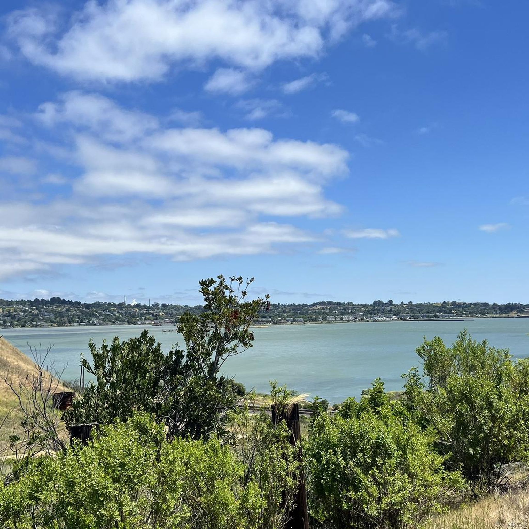
Here, at the northwest corner of Alvarez Ninth Street Park, is a nice vista point over the Carquinez Strait. There is a wooden viewpoint, and it is a nice stop to snap a few photos.
0
0
Pretty tree-shaded park with lawns, picnic facilities and great access at the intersection of two long distance trail networks
1
0

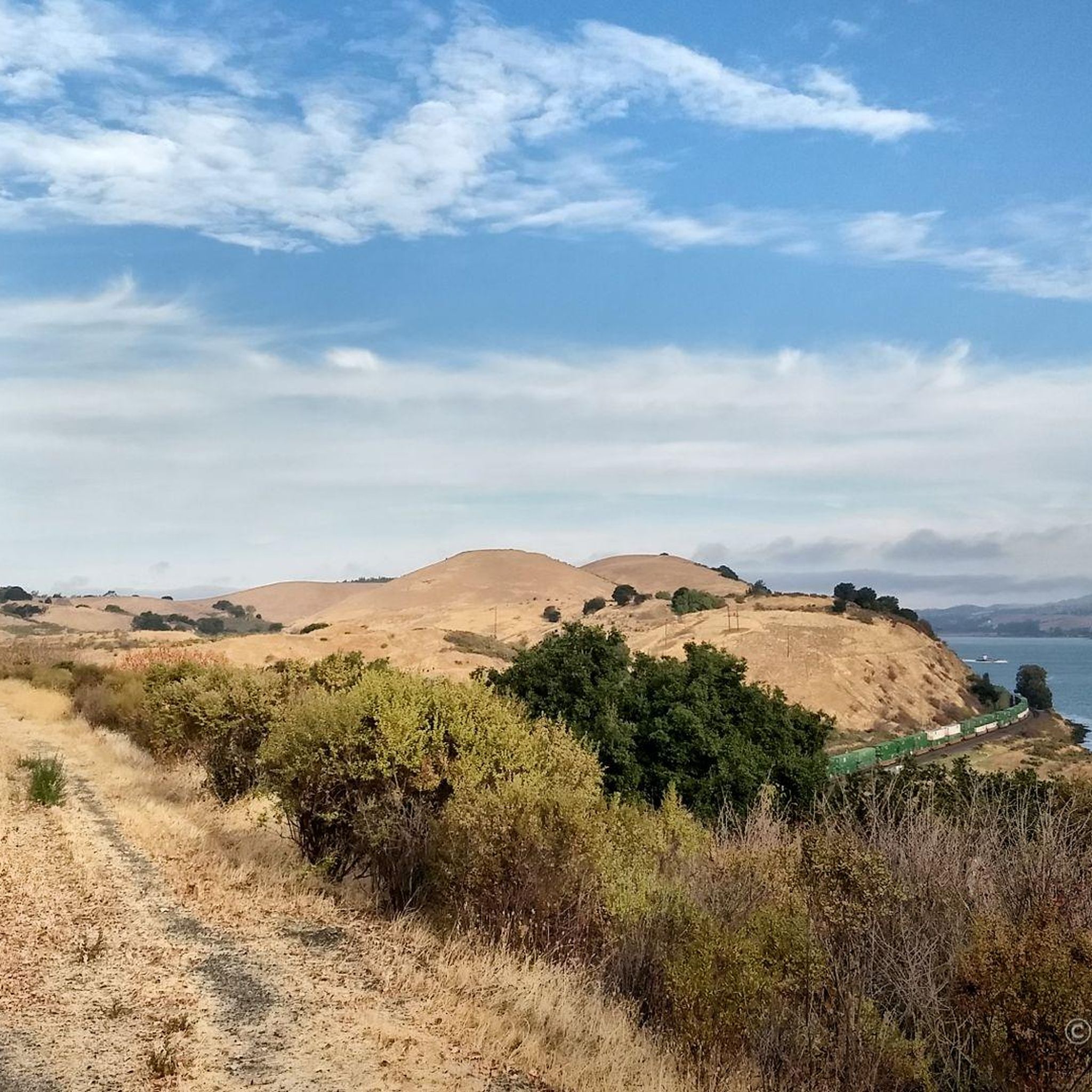
Carquinez Scenic Drive, a once popular roadway for cars, has been closed since the 1980s due to landslides that caused damages. However, the former road has now been transformed into a beautiful paved park trail in the Carquinez Regional Shoreline Reserve on the east, and a well-rebuilt paved bike path on the west of the oil dock. The trail is a great spot for biking and offers a shaded area with several scenic viewpoints that overlook the stunning bay.
0
0
This park offers good restrooms and tree-shaded picnic facility. This small park is just down from the intersection of Iron Horse Trail and Contra Costa Canal Trail.
0
0
Frequently Asked Questions
How many road cycling routes are available around Vine Hill?
There are over 60 road cycling routes around Vine Hill, offering a wide range of options for different skill levels and preferences. The komoot community has explored these routes over 2000 times, giving them an average rating of 4.5 stars.
Are there any easy road cycling routes suitable for beginners or families?
Yes, Vine Hill offers several easy routes. The Iron Horse and Contra Costa Canal Trail Loop is a great option, covering 16.1 miles (25.9 km) mostly along paved canal paths, making it accessible for a relaxed ride. The region has 29 easy routes in total.
What are some challenging road cycling routes for experienced riders?
For experienced riders seeking a challenge, the Carquinez Strait loop is a difficult 54.9-mile (88.3 km) path with significant elevation changes and extensive views of the Bay. Another demanding option is the Juniper Campground – Mount Diablo Summit loop from Concord, which includes a substantial climb to Mount Diablo's summit.
What kind of terrain can I expect on road cycling routes around Vine Hill?
Road cycling routes around Vine Hill feature diverse terrain. You'll find smooth, paved paths along canals and dedicated bike lanes, such as sections of the Ygnacio Canal Trail. Other routes, like the Carquinez Scenic Drive loop, include rolling hills and more challenging sections with elevation changes, offering expansive views of the Carquinez Strait and Mount Diablo.
Are there any scenic viewpoints or natural features along the routes?
Absolutely. Many routes offer stunning views of the Carquinez Strait and Mount Diablo. You can find several viewpoints, such as the Viewpoint over Fernandez Ranch and the View of Briones Regional Park Hills. The John Muir Memorial Park and Maricich Lagoon are also notable natural attractions in the area.
Are there any loop trails for road cycling in Vine Hill?
Yes, many routes around Vine Hill are designed as loops, allowing you to start and end at the same point. Popular examples include the Carquinez Scenic Drive loop and the Carquinez Strait loop, both offering circular journeys through the scenic landscape.
What is the best time of year for road cycling around Vine Hill?
The region generally offers good cycling conditions for much of the year. Spring and fall provide pleasant temperatures and vibrant scenery, ideal for exploring. While winter can bring cooler temperatures and occasional rain, many paved trails remain accessible. Summer can be warm, so early morning or late afternoon rides are often preferred.
What do other road cyclists enjoy most about road cycling in Vine Hill?
The area is highly rated by the komoot community, with an average score of 4.5 stars from over 80 reviews. Reviewers often praise the diverse routes, from scenic canal paths to challenging climbs with expansive views of the Carquinez Strait and Mount Diablo, as well as the well-maintained cycling infrastructure.
Are there places to stop for food or drinks along the road cycling routes?
While specific cafes and pubs directly on every route may vary, the Vine Hill area, particularly near towns like Benicia and Martinez, offers amenities. Cyclists can find various spots for refreshments and meals, especially when routes pass through or near urban centers. The broader Napa Valley region, if you venture further, is known for its numerous wineries and eateries.
Where can I find parking for road cycling trailheads in Vine Hill?
Parking is generally available at various access points for the trails. For instance, the Benicia-Martinez Bridge Trail and George Miller Regional Bike Trail typically have designated parking areas. For canal trails like the Ygnacio Canal Trail, trailheads often provide parking facilities. It's advisable to check specific trailhead information for the most convenient parking options.
Are there any notable landmarks or attractions to see while cycling?
Yes, several points of interest can be explored. The Benicia-Martinez Bridge Bike Trail itself is a landmark offering unique views. You can also pass by the George Miller Regional Bike Trail and the Carquinez Scenic Drive through. For those interested in natural beauty, the Rancho La Boca Summit - Alhambra Valley Road offers impressive vistas.
Most popular attractions around Vine Hill

Get inspired with the komoot mobile app


Explore more
Browse the best Road cycling routes in other regions.
