The best cycling routes around Topanga
4.5
(283)
5,906
riders
123
rides
Touring cycling routes around Topanga are situated within the Santa Monica Mountains, offering varied terrain with significant elevation changes. The region features rugged canyons, oak forests, and chaparral ecosystems, providing a diverse backdrop for cycling. Topanga State Park, one of the largest urban wilderness parks, contributes an extensive network of trails and fire roads. Cyclists can experience both challenging climbs and scenic descents, often rewarded with panoramic views of the mountains and the Pacific Ocean.
Best touring cycling routes around Topanga
- The most popular touring cycling route is Saddle Peak Loop, a difficult 31.2 miles (50.2 km) trail that takes 3 hours 54 minutes to complete. This route navigates the varied terrain of the Santa Monica Mountains.
- Another top favourite among local touring cyclists is Paramount & King Gillette Ranch from Kalabasas, a difficult 25.0 miles (40.3 km) path. This route features a mix of landscapes, including ranch land and mountain roads.
- Local touring cyclists also love the Topanga & Mulholland Scenic Highway loop from Calabasas, a 21.2 miles (34.1 km) trail leading through mountain passes and scenic highways, often completed in about 2 hours 39 minutes.
- Touring cycling around Topanga is defined by the Santa Monica Mountains, deep canyons, and coastal views. The network offers options for different ability levels, from challenging climbs to more moderate paths.
- The routes in Topanga are highly rated by the komoot community with an average score of 4.7 stars from over 7 reviews. More than 500 touring cyclists have used komoot to explore Topanga's varied terrain.
Last updated: October 30, 2026

13
riders
50.2km
03:54
1,330m
1,330m
Hard bike ride. Very good fitness required. Mostly paved surfaces.
5.0
(1)
19
riders
40.3km
02:48
710m
710m
Embark on a touring cycling journey through the Santa Monica Mountains that blends challenging ascents with rich history and diverse landscapes. This difficult 25.0-mile (40.3 km) route, with its 2318 feet (707 metres) of elevation gain, guides you past the historic Paramount Ranch Western Town, where old movie sets still stand, and through the expansive King Gillette Ranch, offering panoramic 360-degree views from Inspiration Point. Expect a ride that demands very good fitness, rewarding your effort with a unique mix of natural beauty and cultural landmarks, all within an estimated duration of 2 hours and 48 minutes.
To make the most of this challenging ride, ensure you have very good fitness and are prepared for varied terrain, including some unpaved segments where you might need to dismount. Cyclists should always ride courteously, yielding to hikers and equestrians, and adhere to the 15 mph speed limit in designated areas. The Santa Monica Mountains National Recreation Area visitor center at King Gillette Ranch is a great resource for additional local information and facilities.
This route is particularly notable for its historical significance, connecting two iconic sites: Paramount Ranch, a former movie set, and King Gillette Ranch, home to a historic mansion designed by Wallace Neff. The landscape itself is a vibrant mosaic of oak savannahs, grasslands, and chaparral, serving as a vital wildlife corridor. Keep an eye out for the picturesque Malibou Lake, though direct access is restricted, and enjoy the dramatic rock formations of adjacent Malibu Creek State Park visible from various viewpoints.

5
riders
34.1km
02:39
920m
920m
The Topanga & Mulholland Scenic Highway loop from Calabasas is a demanding touring cycling route that rewards effort with stunning vistas. You'll navigate winding roads through rugged canyons, oak forests, and chaparral, with the highlight being the expansive views of the Santa Monica Mountains and the Pacific Ocean from various overlooks along Mulholland Highway. This difficult 21.2-mile (34.1 km) ride involves a substantial 3033 feet (924 metres) of elevation gain, typically taking around 2 hours and 39 minutes, making it a serious test for your climbing legs.
Planning your visit to this challenging route means preparing for significant elevation changes and potentially technical turns. While the route is mostly paved, be mindful of possible gravel from rockfalls on some sections. Parking is available in Calabasas, but it's always wise to check for any temporary road closures on Mulholland Highway, which can sometimes offer a car-free cycling paradise. Bring ample water and nutrition for this sustained effort.
This loop is a quintessential Santa Monica Mountains experience, traversing a famous thoroughfare known for its remote feel and dramatic scenery. You'll pass through parts of the Santa Monica Mountains National Recreation Area, with iconic roads like Old Topanga Canyon Road adding to the adventure. The route is best suited for advanced cyclists looking for a memorable ride with sweeping views that can extend all the way to the Catalina Islands on clear days.
20
riders
26.3km
02:27
540m
540m
Hard bike ride. Very good fitness required. Mostly paved surfaces.
22
riders
37.5km
03:42
1,060m
1,060m
Hard bike ride. Very good fitness required. Mostly paved surfaces.
Get access to more routes and recommendations from other explorers.
Already have an account?
Our route recommendations are based on thousands of hikes, rides, and runs completed by other people on komoot.
Start today with a free account
Your next adventure awaits.

Tips from the Community

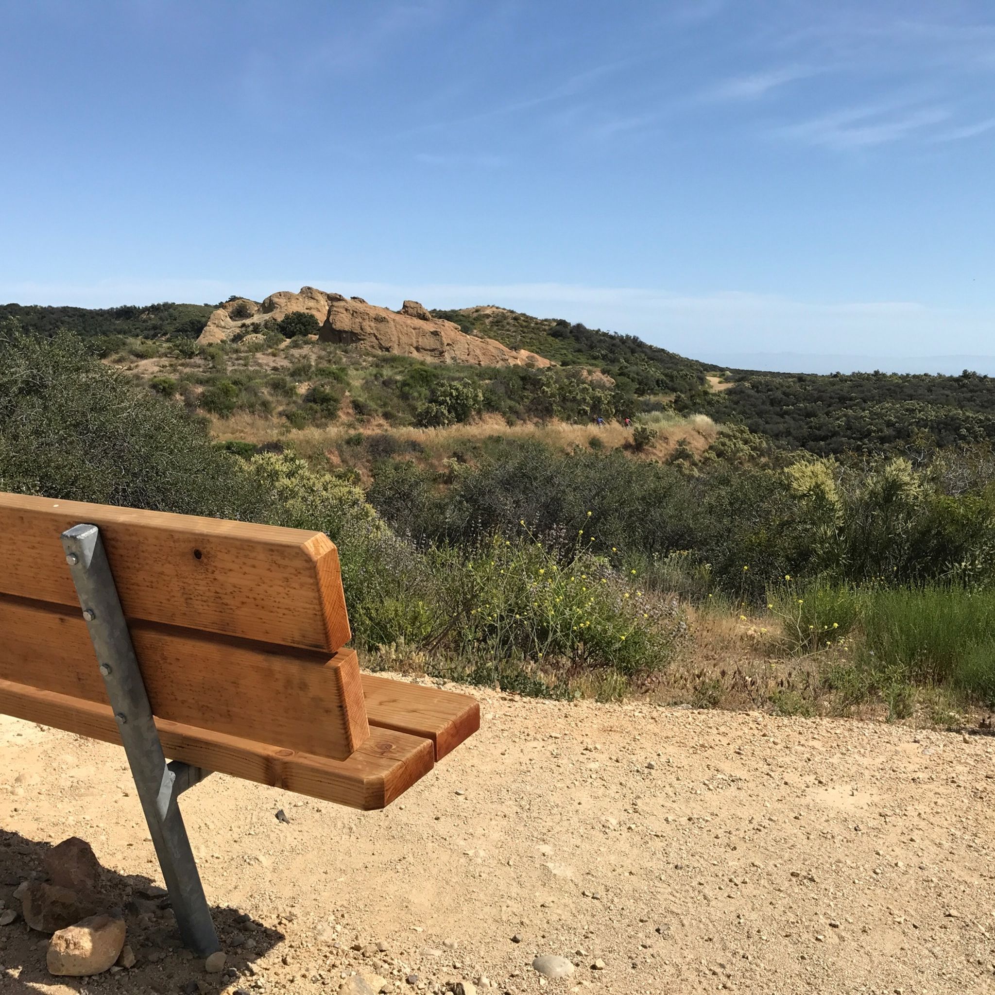
Tucked in the Santa Monica Mountains near Agoura Hills, Malibou Lake is a private reservoir surrounded by rustic homes and hillsides dotted with oak trees. Created in 1922, the Medea and Triunfo creeks feed the reservoir, which sits adjacent to Malibu Creek State Park. The lake has a long history as a Hollywood filming location, most notably Frankenstein (1931)—the iconic scene of the monster and a little girl.
0
0

San Vicente Mountain Park, located 2.7 miles west of the 405 freeway on an unpaved section of Mulholland Drive, has awesome 360-degree views and access to extensive hiking, mountain biking, and equestrian trails. The 10.2-acre park has public picnic areas, bathrooms, and is a gateway to Westridge Canyonback Park and the 20,000-acre “Big Wild” wilderness area. A short walk along a wide dirt road leads visitors to this historic site, which once housed a Nike-Ajax missile radar station during the Cold War (1956–1968). The original radar tower now provides panoramic views of the Santa Monica Mountains, Encino Reservoir, San Fernando Valley, and Los Angeles Basin, making it one of the best spots in the region to watch a sunset.
1
0

This is a handy connector trail, used mostly to go downhill from The Hub to the Bent Arrow Trail, or you can keep going all the way to Mulholland Drive with a climb at the very end.
0
0

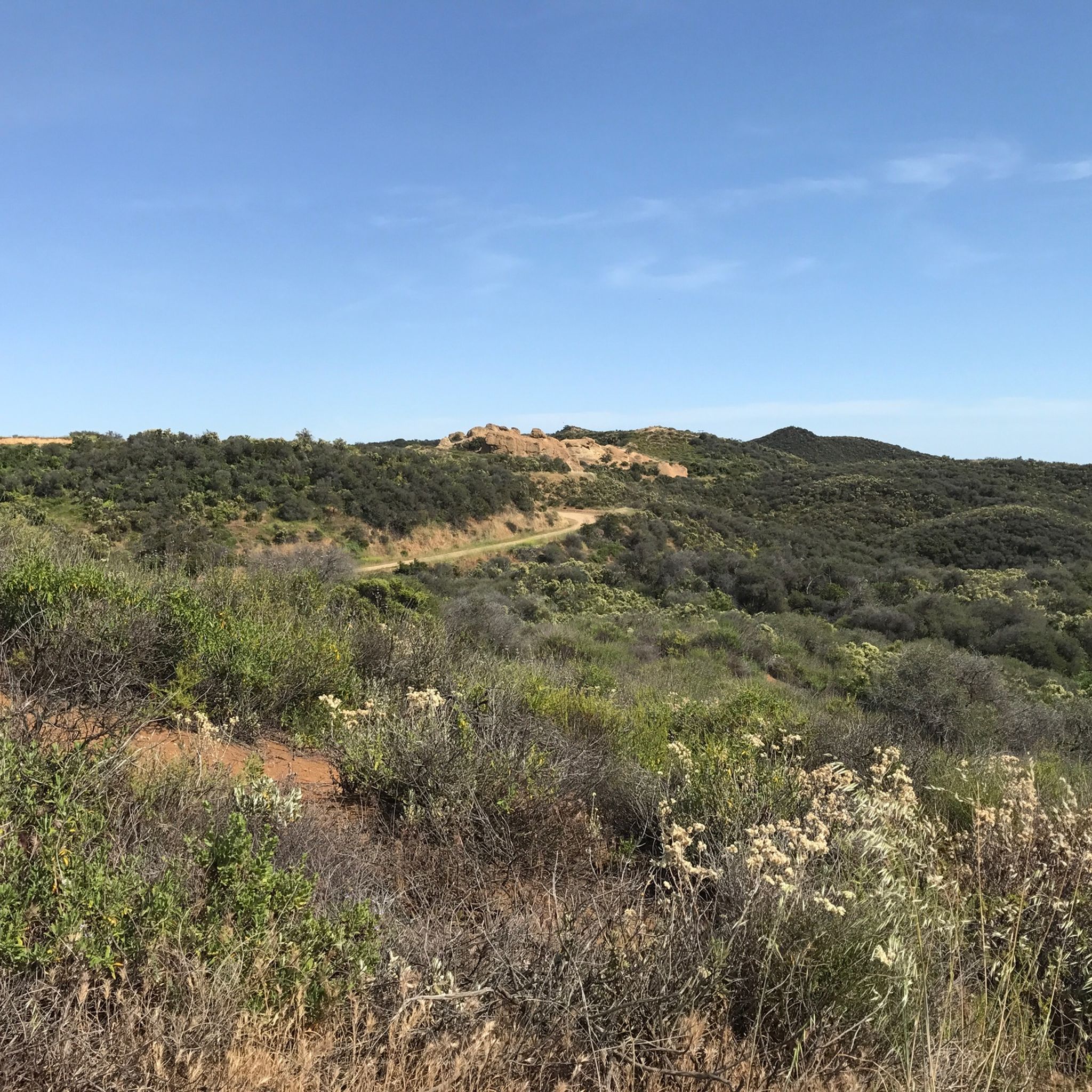
Your climb up to the ridgeline will be rewarded with an excellent view of the surrounding area.
0
0

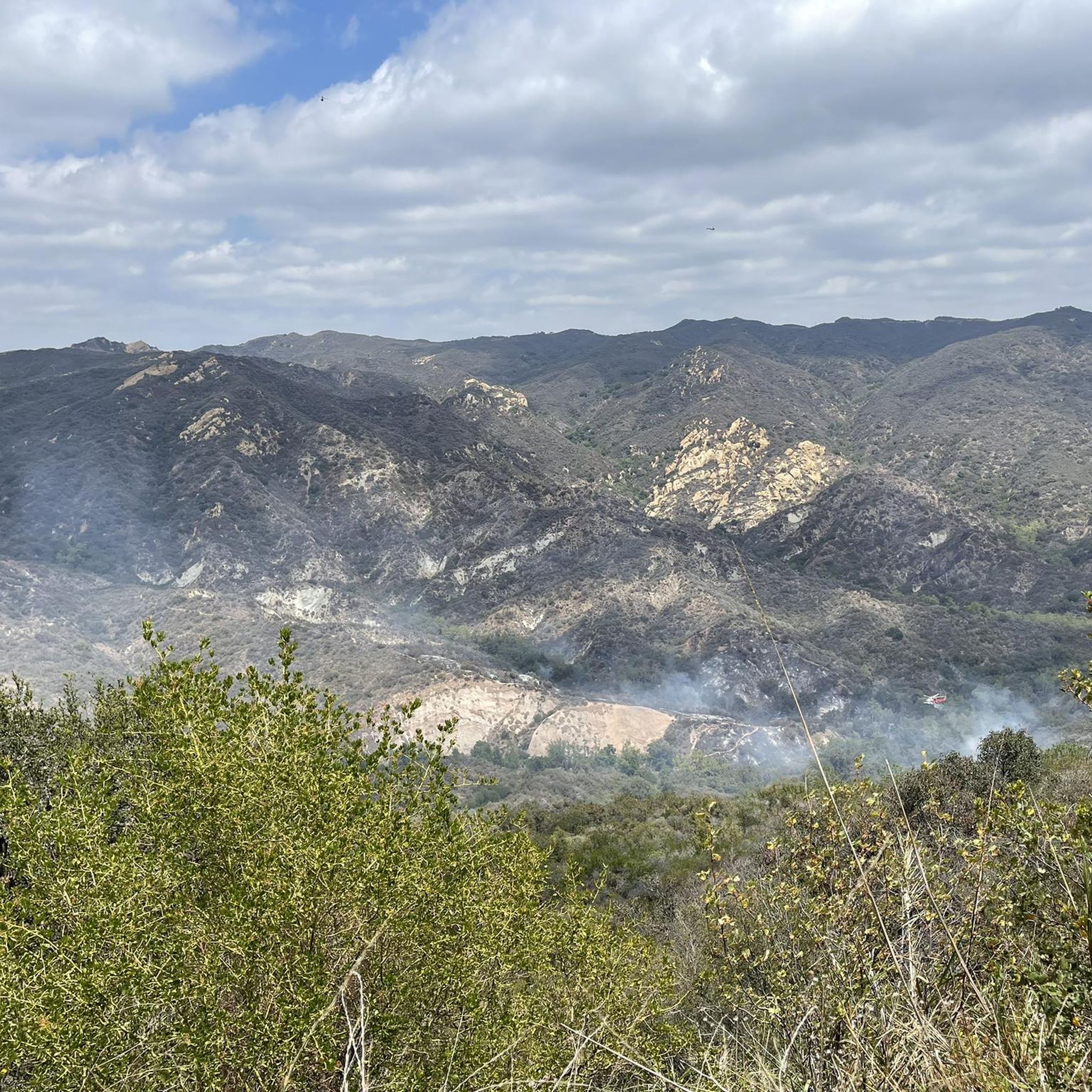
Certain sections of the route were closed, so get information beforehand about what is currently open or closed on certain days
0
0
From here there is a perfect 360 degree view. Santa Monica mountains are completely visible in good weather
0
1

Temescal Canyon Road is a great dirt road to ride. Whether you're grinding uphill or zipping down, this is a great path to use to connect the northern and southern paths in the Temescal Peak area.
0
0

From East Topanga Fire Road in Topanga State Park, cyclists are treated to breathtaking vistas of the rugged Santa Monica Mountains and the sprawling Los Angeles basin below. The scenic overlooks offer panoramic views of the Pacific Ocean and the city skyline, creating a stunning backdrop for a memorable ride.
0
0
Frequently Asked Questions
What kind of terrain can I expect on touring cycling routes around Topanga?
Touring cycling routes in Topanga are situated within the Santa Monica Mountains, offering a diverse and often challenging landscape. You can expect significant elevation changes with both demanding climbs and exhilarating descents. The terrain includes rugged canyons, open grasslands, live oak forests, and chaparral ecosystems, providing a varied backdrop for your ride.
Are there touring cycling routes suitable for beginners or families in Topanga?
While many routes in Topanga feature challenging climbs, there are options for different ability levels. The area offers moderately popular doubletracks, and some sections, like those around The Hub within Topanga State Park, are considered intermediate destinations suitable for families. These trails traverse diverse landscapes without requiring very good fitness.
What are some notable natural features or landmarks I might see while cycling in Topanga?
Topanga is rich in natural beauty. You'll cycle through the Santa Monica Mountains, past live oak forests, and chaparral. Key viewpoints like Eagle Rock offer breathtaking vistas of the mountains and the Pacific Ocean. You might also encounter serene waterfalls and fascinating sandstone formations within the canyons. The San Vicente Mountain Viewpoint and Inspiration Point are also popular spots for panoramic views.
Are there any circular touring cycling routes in Topanga?
Yes, Topanga offers several excellent circular routes. A popular choice is the Saddle Peak Loop, which navigates the varied terrain of the Santa Monica Mountains. Another option is the Topanga & Mulholland Scenic Highway loop from Calabasas, leading through mountain passes and scenic highways.
What do other touring cyclists say about the routes in Topanga?
The touring cycling routes around Topanga are highly rated by the komoot community, with an average score of 4.7 stars from over 7 reviews. More than 500 touring cyclists have used komoot to explore Topanga's varied terrain, often praising the challenging climbs, scenic descents, and panoramic views of the mountains and the Pacific Ocean.
What is the best time of year to go touring cycling in Topanga?
Topanga offers pleasant cycling conditions for much of the year. Spring is particularly vibrant, with wildflowers blooming across the landscape. The region generally experiences mild winters and warm, dry summers. Always check local weather conditions before heading out, especially during hotter months, and be prepared for varied temperatures due to elevation changes.
Are there any specific attractions or points of interest near the touring cycling routes?
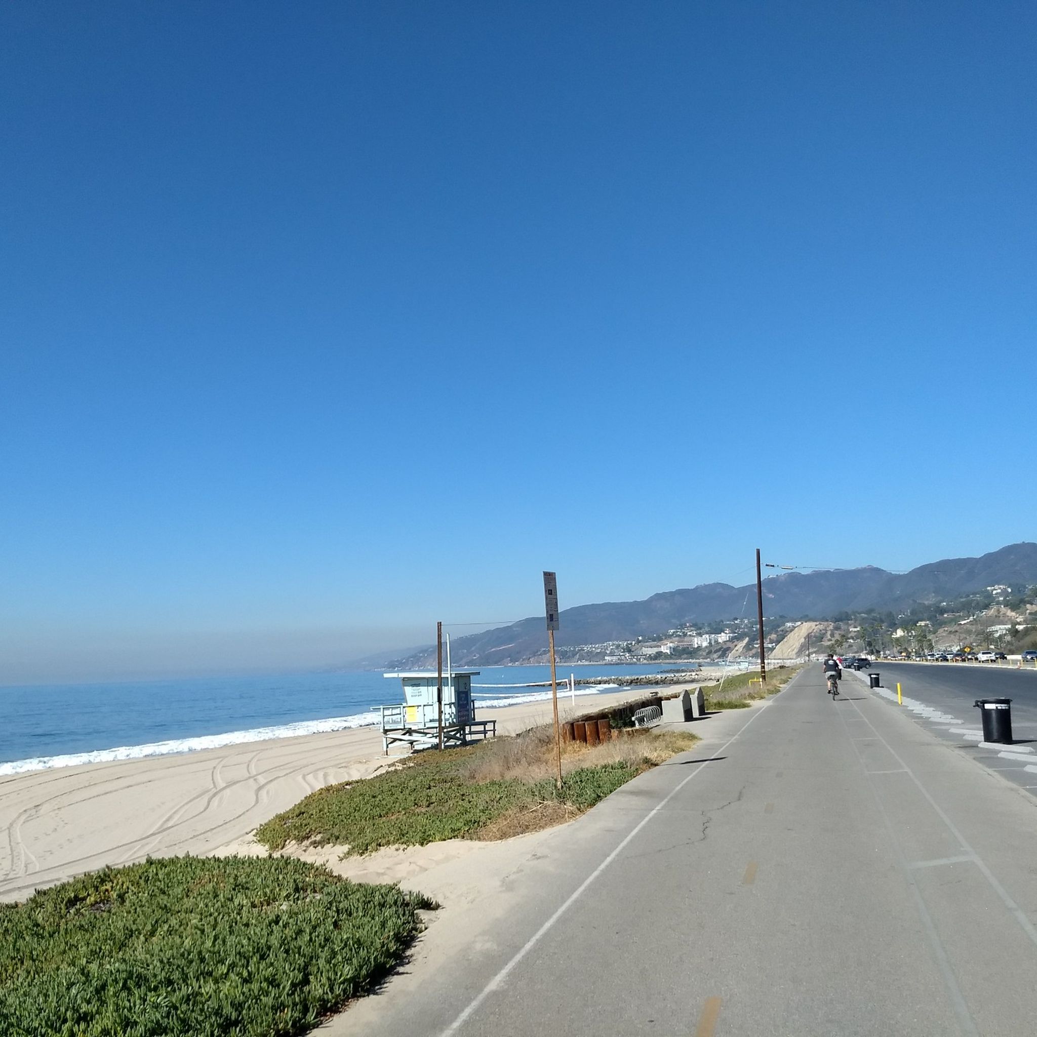
Absolutely! Beyond the natural beauty, you can find several attractions. The Santa Monica Pier and Will Rogers State Beach are accessible from routes that extend towards the coast. You might also encounter the San Vicente Mountain Nike Missile Radar Tower, a unique historical landmark.
Where can I find bike services or rentals in the Topanga area?
The Topanga area supports its cycling community. For sales, rentals, and service, you can visit local establishments like Topanga Creek Outpost, which specializes in mountain bikes, touring bikes, and bikepacking gear. They also organize weekly mountain bike rides into Topanga State Park.
How long are the touring cycling routes typically in Topanga?
The routes vary significantly in length. For example, the Saddle Peak Loop is about 31.2 miles (50.2 km), while the Malibou Lake – Wild Walnut Park loop from Calabasas extends to approximately 39.9 miles (64.2 km). You'll find options ranging from shorter loops to longer, more endurance-testing rides.
Are there any routes that combine ranch land with mountain roads?
Yes, for a mix of landscapes, consider the Paramount & King Gillette Ranch from Kalabasas route. This path features a blend of ranch land and mountain roads, offering a unique touring cycling experience through different environments.
What is Topanga State Park and how does it relate to touring cycling?
Topanga State Park is one of the largest urban wilderness parks in the United States and a cornerstone of the area's outdoor appeal. It offers 36 miles of trails, many of which are fire roads suitable for touring cycling. The park's varied terrain, including rocky canyons and oak-filled hillsides, provides an immersive natural experience for cyclists. You can find more information about the park on the California State Parks website: parks.ca.gov.
Are there any advanced touring cycling routes for experienced riders?
Topanga is well-known for its challenging routes that cater to experienced riders. Many routes feature significant elevation gains and technical descents. For instance, the Saddle Peak Loop and the Malibou Lake – Wild Walnut Park loop from Calabasas are both graded as 'difficult' and offer substantial climbs and distances for those seeking a rigorous ride.
Most popular attractions around Topanga

Get inspired with the komoot mobile app


Explore more
Browse the best Cycling routes in other regions.
