The best MTB trails around Sunnyside-Tahoe City
4.8
(8)
215
riders
17
rides
Mountain biking around Sunnyside-Tahoe City offers diverse terrain set against the backdrop of Lake Tahoe and the Sierra Nevada peaks. The region features extensive trail networks winding through dense pine forests and varied landscapes. Areas like Burton Creek State Park provide miles of singletrack and double-track trails, while sections of the Tahoe Rim Trail offer more challenging rides. This combination of natural features makes Sunnyside-Tahoe City a notable destination for mountain biking.
Best mountain bike trails around Sunnyside-Tahoe City
- The…
Last updated: May 10, 2026
5.0
(1)
19
riders
24.6km
02:32
650m
650m
Hard mountain bike ride. Good fitness required. Advanced riding skills necessary. Some portions of the route may require you to push your bike.
14
riders
28.5km
02:38
600m
590m
Moderate mountain bike ride. Good fitness required. Suitable for all skill levels.

Sign up for free
6
riders
31.4km
03:12
760m
760m
Moderate mountain bike ride. Good fitness required. Suitable for all skill levels.
5.0
(1)
14
riders
22.0km
02:00
480m
480m
Moderate mountain bike ride. Good fitness required. Suitable for all skill levels.
5
riders
31.3km
03:11
760m
760m
Moderate mountain bike ride. Good fitness required. Suitable for all skill levels.
Get access to more routes and recommendations from other explorers.
Sign up for free
Already have an account?
Our route recommendations are based on thousands of hikes, rides, and runs completed by other people on komoot.
Start today with a free account
Your next adventure awaits.
Login or Signup
Popular around Sunnyside-Tahoe City


Other adventures around Sunnyside-Tahoe City

Tips from the Community

Very Nice and Easy trail for all, ride it from Tahoe City all the way to Palisades if you like. beautiful scenery and views along the Truckee River.
0
0

The Tahoe Rim Trail is a 170-mile-long trail that circles Lake Tahoe. It is a popular route, so there is a good chance you will see others out enjoying the trails.
0
0

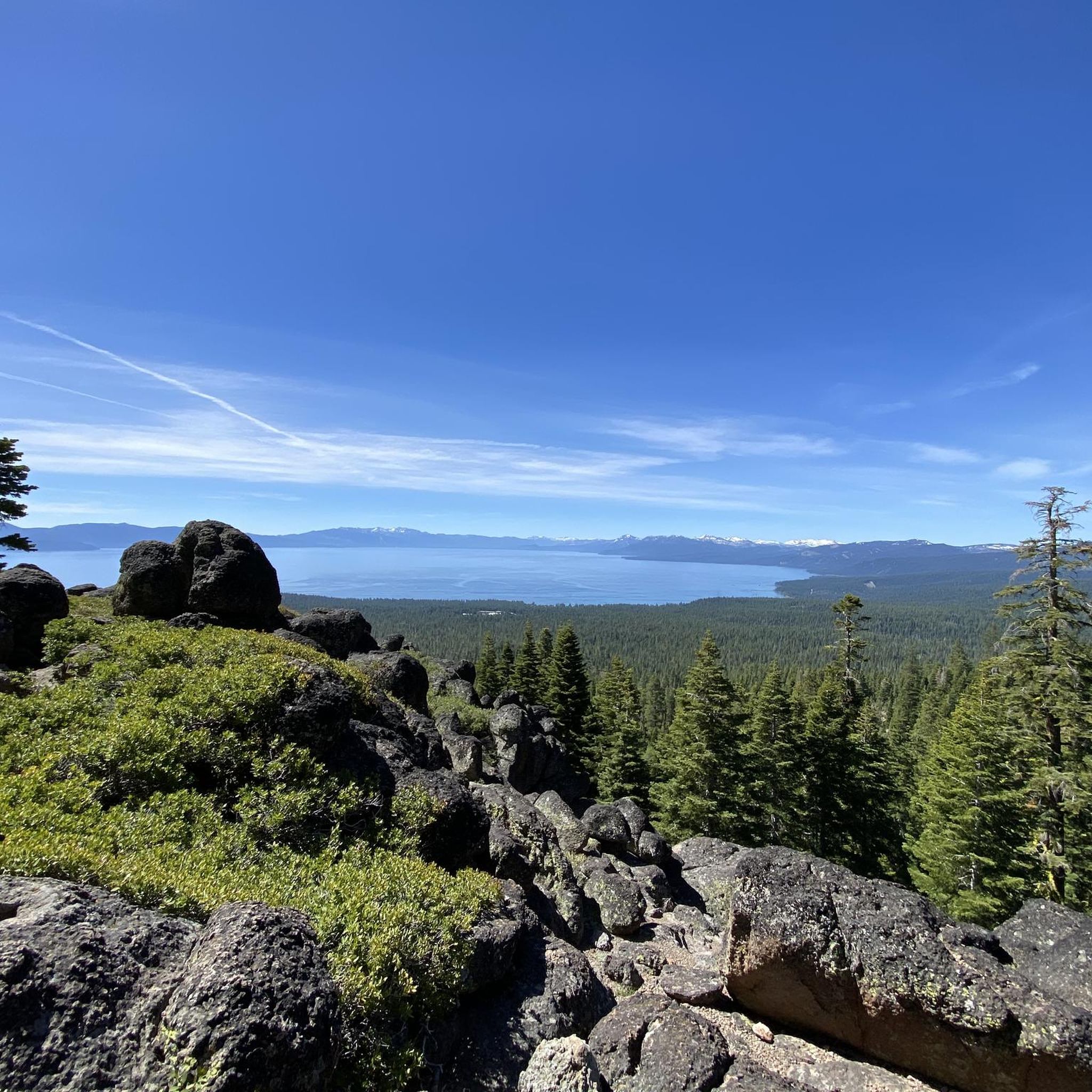
Painted Rock is a quiet trail located just outside of Tahoe City. Standing at 7,700 feet in elevation, the trail is enough to get your lungs burning! There is a nice clearing through the trees at the top of Painted Rock that allows you to overlook Lake Tahoe.
0
0

Painted Rock is at 7,700 feet above sea level in an evergreen forest. This part of the Tahoe Rim Trail is multi-use and shared with mountain bikers. The top has a clearing where a view is visible with a break in the trees. It's a rewarding run-up, and great if you're looking to train on some uphill.
0
0
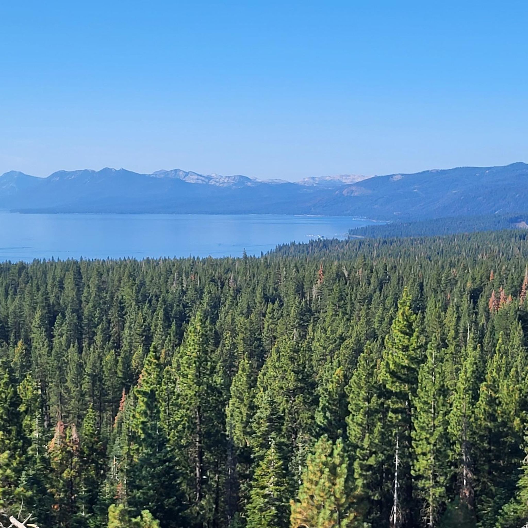
This point of the trail has a break in the trees and is slightly elevated, giving a large, 180-degree view of the surrounding forest and Lake Tahoe.
0
0

The Historic Truckee River Bike Path is a popular ride for individuals and families alike. Flat and well paved, the main obstacles will be other trail users. This path provides easy access to the Truckee River as well as connections to many other trails in the area.
0
0

Get your gears ready for the challenging Stanford Rock Trail, a steep, loose climb that has tested many mountain bikers with its punishing grade. As you grind your way up through subalpine forests with Lake Tahoe glimmering below, adrenaline will pump just as hard on the descent, when brake-burning switchbacks demand your focus.
0
0
Rising over 7,700 feet amidst evergreen forests, Painted Rock Summit offers mountain bikers a scenic high-altitude ascent with plenty of space at the top to relax and take in sights through the pine trees. While not completely panoramic, breaks in the foliage provide glimpses of the surrounding terrain to appreciate during this leg-burning yet rewarding ride up.
0
0
Frequently Asked Questions
How many mountain bike trails are there in Sunnyside-Tahoe City?
Sunnyside-Tahoe City offers a network of over 18 mountain bike trails. These routes cater to various skill levels, winding through dense pine forests and offering stunning views of Lake Tahoe and the Sierra Nevada peaks.
What are the difficulty levels of mountain bike trails in Sunnyside-Tahoe City?
The trails around Sunnyside-Tahoe City range from easy to difficult. There are 3 easy routes, 13 moderate routes, and 2 difficult routes. For a challenging ride with impressive views, consider the Stanford Rock Loop.
Are there any easy mountain bike trails suitable for beginners or families?
Yes, there are several easier options. While specific easy routes aren't detailed in the provided data, the region offers paths like the Truckee River Trail, which is a popular, flat, and paved path suitable for a more relaxed cycling experience and families. Burton Creek State Park also features miles of unpaved trails with less extreme elevation changes, making them accessible for many.
What is the best time of year for mountain biking in Sunnyside-Tahoe City?
The best time for mountain biking in Sunnyside-Tahoe City is typically from late spring through early fall, once the snow has melted and trails are clear. Summer offers ideal conditions, but it's always wise to check local trail conditions for snowmelt and closures, especially in higher elevations.
Are there any scenic viewpoints along the mountain bike trails?
Absolutely. Many trails offer breathtaking views. The Stanford Rock Loop is known for its impressive views of Lake Tahoe. The Painted Rock Loop via Tahoe Rim Trail also rewards riders with views over Lake Tahoe through clearings in the evergreen forest. You can also find stunning vistas from Squaw Valley and the View of Lake Tahoe from Eagle Rock.
Where can I find parking for mountain bike trails in Sunnyside-Tahoe City?
Parking is generally available at trailheads and popular access points for trails like the Stanford Rock Loop, Painted Rock Loop, and Tahoe City Rim Trail Loop. Specific parking areas are often located near entrances to Burton Creek State Park and various segments of the Tahoe Rim Trail. It's advisable to check local signage for designated parking.
Are there mountain bike trails that form a loop?
Yes, many popular mountain bike routes in the area are loops. Examples include the Stanford Rock Loop, the Painted Rock Loop via Tahoe Rim Trail, and the Tahoe City Rim Trail Loop. These offer varied terrain and return you to your starting point.
What are some notable attractions or landmarks I can see near the trails?
Beyond the trails, you can explore several attractions. Squaw Valley offers spectacular views. You might also visit Watson Lake Campground for a tranquil setting, or enjoy the Truckee River Trail. The Forest Trail in Burton Creek State Park is also a popular spot.
What do other mountain bikers say about the trails in Sunnyside-Tahoe City?
The mountain bike trails in Sunnyside-Tahoe City are highly rated by the komoot community, with an average score of 4.8 stars from over 7 reviews. Riders often praise the diverse terrain, stunning lake views, and the well-maintained network of trails that cater to different ability levels.
Are there options for bike rentals or shuttles in the area?
While specific rental or shuttle services are not detailed in the provided data, Sunnyside-Tahoe City is a popular outdoor destination. You can generally find bike rental shops in Tahoe City and nearby Truckee. For accommodation, Sunnyside Lodge is located directly on Lake Tahoe, offering easy access to the area's activities.
How long are the mountain bike trails typically in this region?
The mountain bike trails in Sunnyside-Tahoe City vary in length. For example, the Stanford Rock Loop is about 15.3 miles (24.6 km), and the Tahoe City Rim Trail Loop is 13.7 miles (22.0 km). Many routes offer substantial distances, providing a good workout and extended time on the trails.
Can I access mountain bike trails using public transportation?
While specific public transportation routes to trailheads are not detailed, the Tahoe Area Regional Transit (TART) system serves Tahoe City and surrounding areas. It's recommended to check TART schedules and routes to see if they align with your desired trailhead access points.
What are some challenging mountain bike trails for advanced riders?
For advanced riders seeking a challenge, the Stanford Rock Loop is classified as difficult, featuring technical sections and berm turns. Sections of the Tahoe Rim Trail, such as the Painted Rock area at 7,700 feet, also offer challenging climbs. The Western States Trail is another iconic option known for its demanding climbs and rewarding descents.
Most popular routes around Sunnyside-Tahoe City
Most popular attractions around Sunnyside-Tahoe City

Get inspired with the komoot mobile app


Explore more
Browse the best MTB trails in other regions.
