The best walks and hikes around Dammsee
4.4
(452)
1,542
hikers
125
hikes
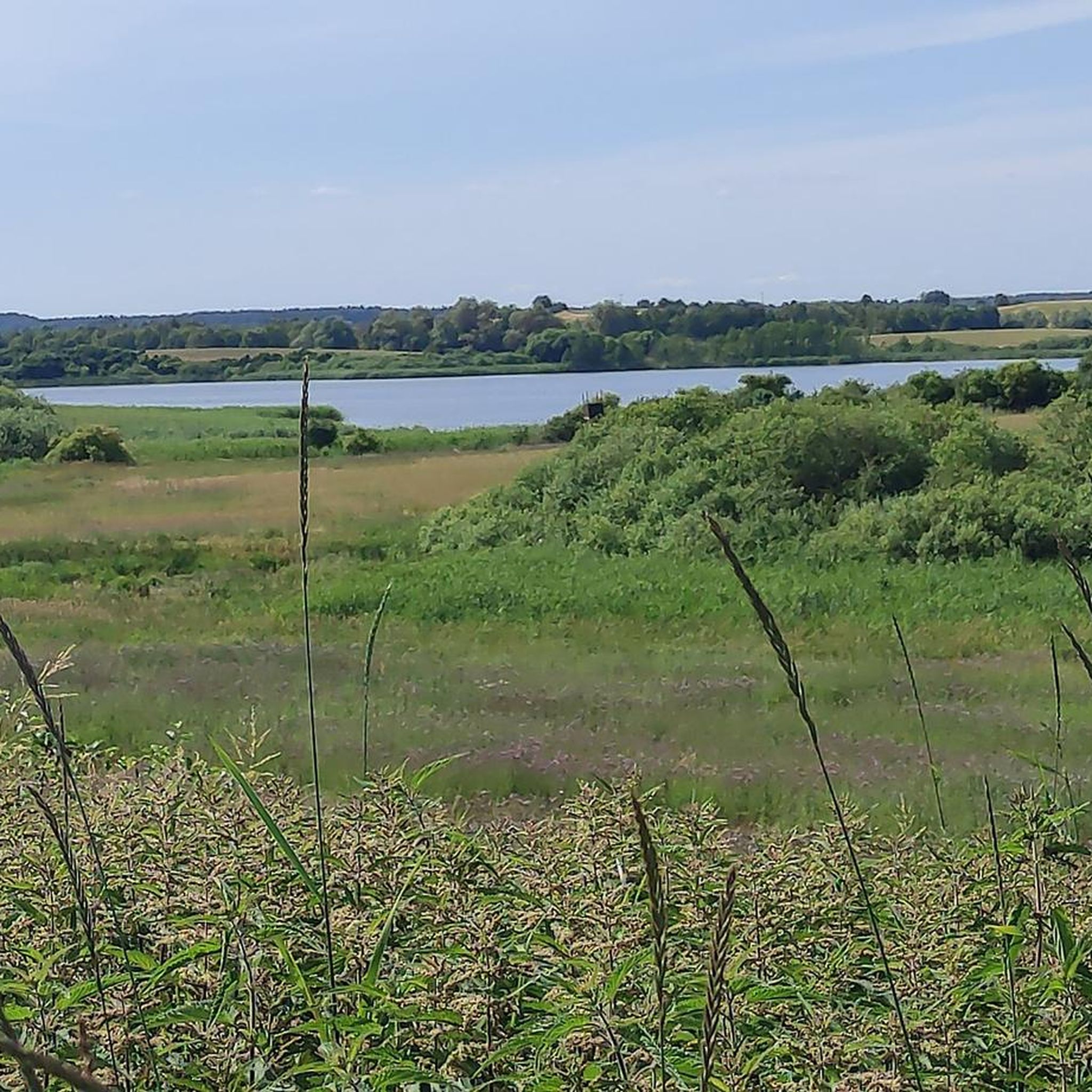
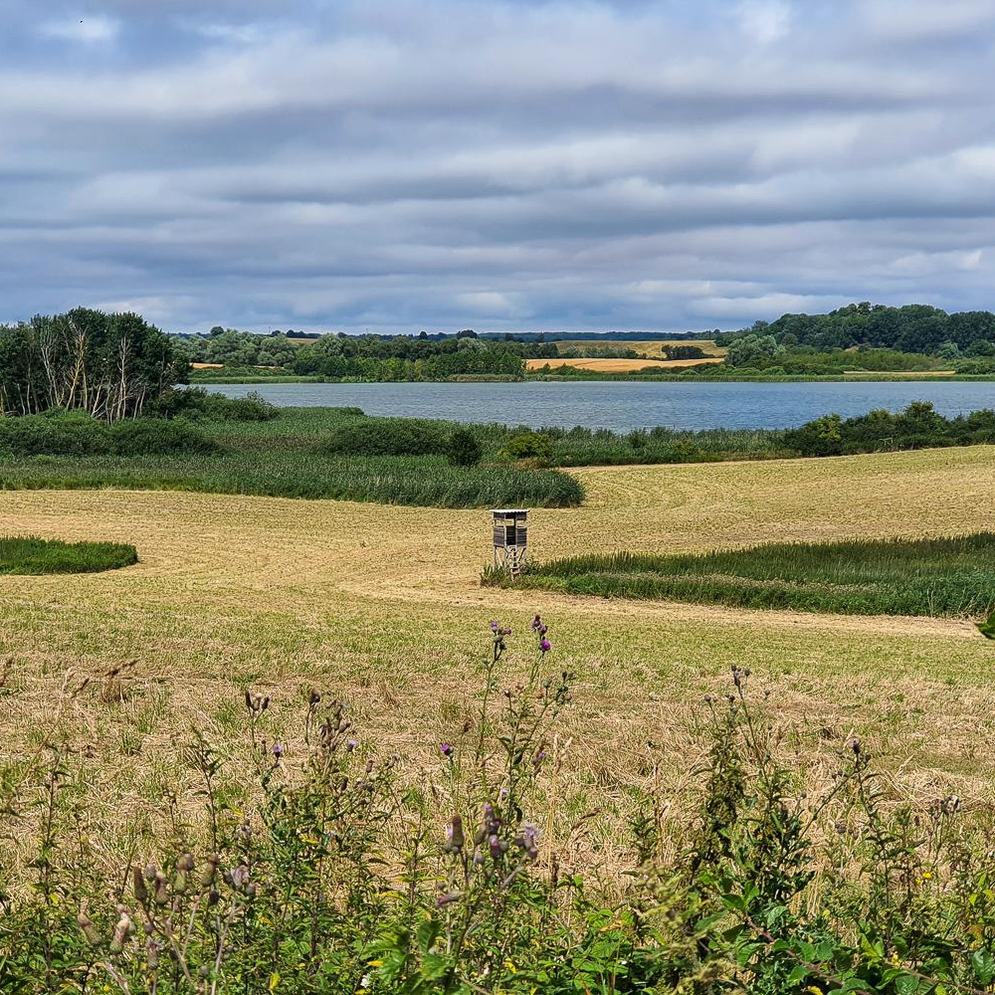
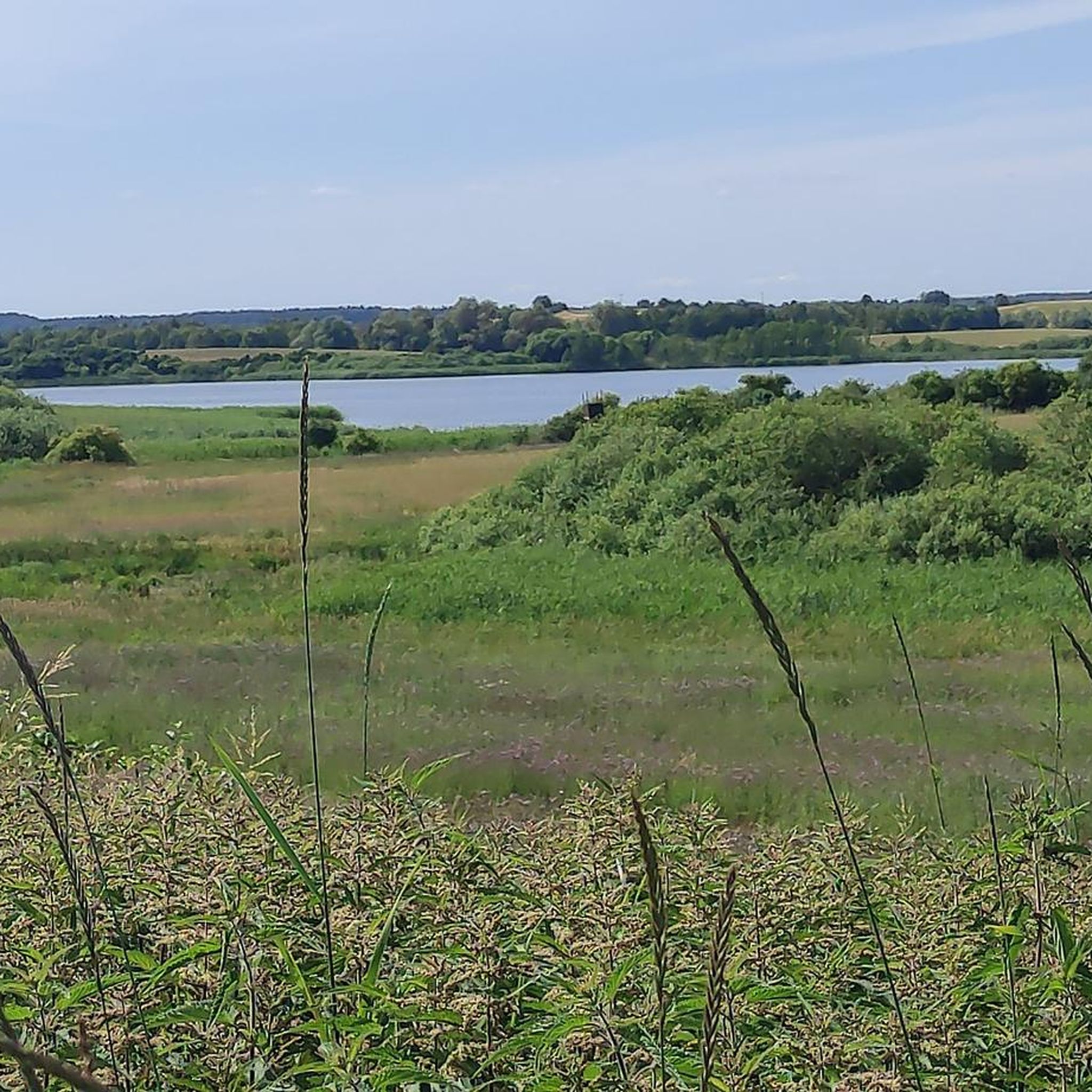
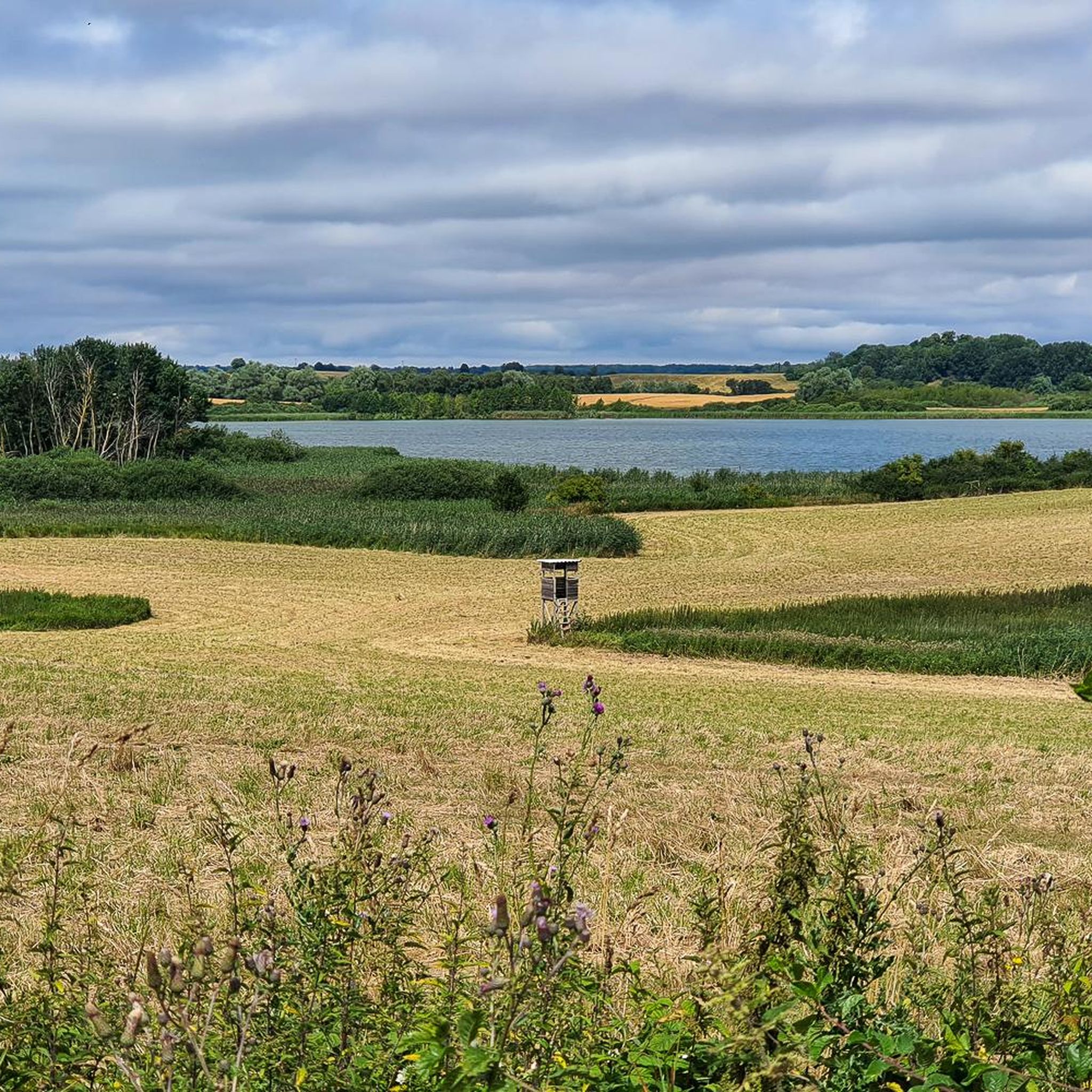
Hiking around Dammsee offers access to a landscape shaped by glacial history, characterized by numerous lakes, extensive forests, and softly undulating terrain. Situated within the Uckermärkische Seen Nature Park, the region provides varied and interesting routes for outdoor enthusiasts. The area features a network of trails that traverse diverse natural environments, including groove lakes, kettle bogs, and woodlands. This setting provides a tranquil environment for exploring the natural features of the Uckermark region.
Best hiking trails around Dammsee
- The most…
Last updated: August 8, 2026
4.1
(19)
73
hikers
Moderate hike. Good fitness required. Easily-accessible paths. Suitable for all skill levels.
3.4
(20)
44
hikers
Moderate hike. Good fitness required. Easily-accessible paths. Suitable for all skill levels.

Sign up for free
4.4
(11)
36
hikers
Moderate hike. Good fitness required. Easily-accessible paths. Suitable for all skill levels.
4.7
(6)
19
hikers
Hard hike. Very good fitness required. Easily-accessible paths. Suitable for all skill levels.
4.3
(3)
5
hikers
Moderate hike. Good fitness required. Easily-accessible paths. Suitable for all skill levels.
Get access to more routes and recommendations from other explorers.
Sign up for free
Already have an account?
Our route recommendations are based on thousands of hikes, rides, and runs completed by other people on komoot.
Start today with a free account
Your next adventure awaits.
Login or Signup
Tips from the Community

The water tower is located a short distance from the former train station. It is fenced off, and there is a horse paddock on the grounds.
0
0
It is located in front of the local cemetery, with smaller stones bearing the names of the fallen standing in a semicircle.
0
0
the city wall is still well preserved and runs around the old town
0
0
a nice place to linger
0
0

The promenade, created in 1900, runs along the old city wall, flanked by two medieval gates, the Berliner Tor and the Woldegker Tor. The promenade is part of the City Wall Circular Trail and offers an informative and pleasant walk through the historic old town.
0
0
The church is open daily throughout the year and, along with the city wall surrounding the town center, is considered a landmark of the town. The "Building Monument Church in Fürstenwerder e. V." association, founded in 1994, tirelessly works to preserve and restore the church.
0
0
The boulder garden is part of a larger adventure landscape, which also includes the "History Walk through Fürstenwerder" circular trail and the local history room. It is centrally located and also offers a beautiful view of the Great Lake.
0
0
Fürstenwerder was first mentioned in a document in 1319. At that time, the town was called "Civitas Fürstenwerder" and developed into a Brandenburg border town.
0
0
Frequently Asked Questions
How many hiking trails are available around Dammsee?
There are over 120 hiking trails around Dammsee, offering a wide range of options for different preferences and fitness levels. These routes traverse diverse natural environments within the Uckermärkische Seen Nature Park.
What kind of terrain can I expect when hiking near Dammsee?
The terrain around Dammsee is characterized by a gently undulating landscape, a legacy of glacial history. You will encounter numerous lakes, extensive forests, and some moorlands. The paths are generally not strenuous, making them accessible for various fitness levels.
Are there easy hiking trails suitable for beginners or families around Dammsee?
Yes, Dammsee offers a good selection of easier trails. Approximately 55 of the routes are rated as easy, providing relaxed walks through the scenic landscape. These are ideal for families or those new to hiking.
What natural features or landmarks can I see along the hiking trails?
Hiking around Dammsee allows you to experience a landscape rich in natural beauty. You'll encounter numerous groove lakes, kettle bogs, and extensive forests. The region is also known for its diverse wildlife, including sea eagles, ospreys, and beavers, offering opportunities for nature observation.
Are there any circular hiking routes near Dammsee?
Yes, many of the trails around Dammsee are circular, allowing you to start and end your hike at the same point. For example, the Fürstenwerder city wall – Bülow's Siece Manor loop from Fürstenwerder is a moderate 7.2-mile (11.6 km) circular path that explores the surroundings of Fürstenwerder, including a historic manor.
Can I bring my dog on the hiking trails around Dammsee?
Generally, dogs are welcome on hiking trails around Dammsee. However, as the area is part of nature parks, it's always advisable to keep your dog on a leash, especially to protect local wildlife and ensure a pleasant experience for all hikers. Please respect any specific signage you encounter on individual trails.
What do other hikers enjoy most about hiking in Dammsee?
The hiking experience around Dammsee is highly rated by the komoot community, with an average score of 4.4 stars from over 400 reviews. Hikers often praise the peaceful and untouched nature, the well-developed network of paths, and the beautiful scenery of lakes and forests.
Is there public transport access to the hiking areas around Dammsee?
While Dammsee is nestled in a natural setting, public transport options to the broader Uckermärkische Seen Nature Park exist, though they might require some planning. It's recommended to check local bus schedules or regional train connections to nearby towns like Fürstenwerder, which can serve as starting points for hikes.
Where can I find parking for hiking trails near Dammsee?
Parking is typically available at common starting points for trails, especially in and around towns like Fürstenwerder. Look for designated parking areas near trailheads or local attractions. Specific parking information can often be found on individual route descriptions on komoot.
Are there opportunities for swimming after a hike near Dammsee?
Yes, Dammsee itself is highlighted as a place for swimming, offering a refreshing activity to combine with your hike, especially during warmer months. The region's numerous lakes provide various spots for a dip.
What is the best time of year to go hiking around Dammsee?
The Dammsee region is beautiful year-round. Spring brings blooming nature, while summer offers warm weather perfect for combining hiking with swimming. Autumn showcases vibrant fall foliage, and even winter hikes can be serene, with snow-covered landscapes. The gently undulating terrain makes it accessible in most seasons.
Are there any longer, more challenging routes for experienced hikers?
Yes, for those seeking a greater challenge, there are more demanding routes. For instance, the Berlin Gate, Fürstenwerder – Hildebrandshagen Bathing Area loop from Fürstenwerder is a difficult 12.5-mile (20.2 km) trail that offers a longer and more strenuous experience through the varied landscape.
Most popular routes around Dammsee

Get inspired with the komoot mobile app


Explore more
Browse the best Hikes in other regions.
