The best cycling routes around San Geronimo
4.6
(67)
1,236
riders
69
rides
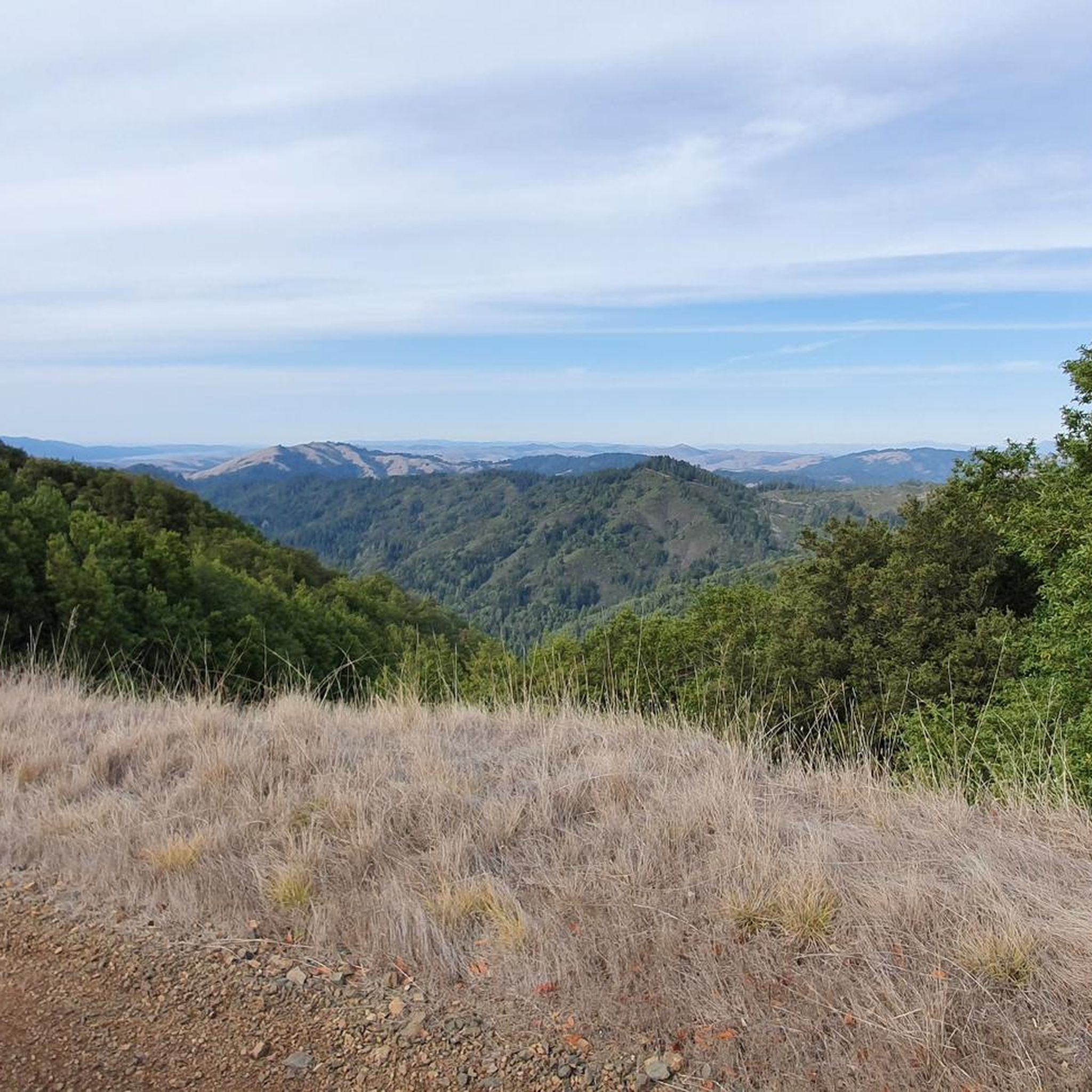
Touring cycling routes around San Geronimo are set within Marin County, California, characterized by the San Geronimo Valley's rolling hills, lush forests, and meandering creeks. The landscape features prominent natural landmarks such as San Geronimo Ridge, Mt. Barnabe, and Whites Hill, providing varied terrain for cyclists. The region is ecologically significant, with the Lagunitas Creek watershed supporting diverse wildlife and heritage oaks contributing to the scenic beauty. Adjacent open spaces and nearby coastal areas like Point Reyes National Seashore further…
Last updated: October 21, 2026
4.8
(6)
69
riders
48.9km
03:01
470m
470m
Hard bike ride. Very good fitness required. Mostly paved surfaces.
5.0
(1)
26
riders
36.7km
03:14
750m
750m
Hard bike ride. Very good fitness required. Mostly paved surfaces.

5.0
(2)
38
riders
122km
07:42
1,240m
1,240m
Hard bike ride. Very good fitness required. Mostly paved surfaces.
4.5
(2)
26
riders
43.1km
02:48
560m
560m
Hard bike ride. Very good fitness required. Mostly paved surfaces.
10
riders
Hard bike ride. Very good fitness required. Mostly paved surfaces.
Get access to more routes and recommendations from other explorers.
Already have an account?
Our route recommendations are based on thousands of hikes, rides, and runs completed by other people on komoot.
Start today with a free account
Your next adventure awaits.

Tips from the Community

An absolute must-see for cycling enthusiasts! This museum in Fairfax tells the story of nearly 200 years of cycling history, from 19th-century velocipedes to modern racing bikes. It's also home to the Mountain Bike Hall of Fame, featuring unique specimens and stories about the pioneers of mountain biking. The collection is impressive and authentic—no replicas, but real bicycles that showcase the evolution of technology and design. An inspiring place where you can truly feel the passion for cycling.
1
0

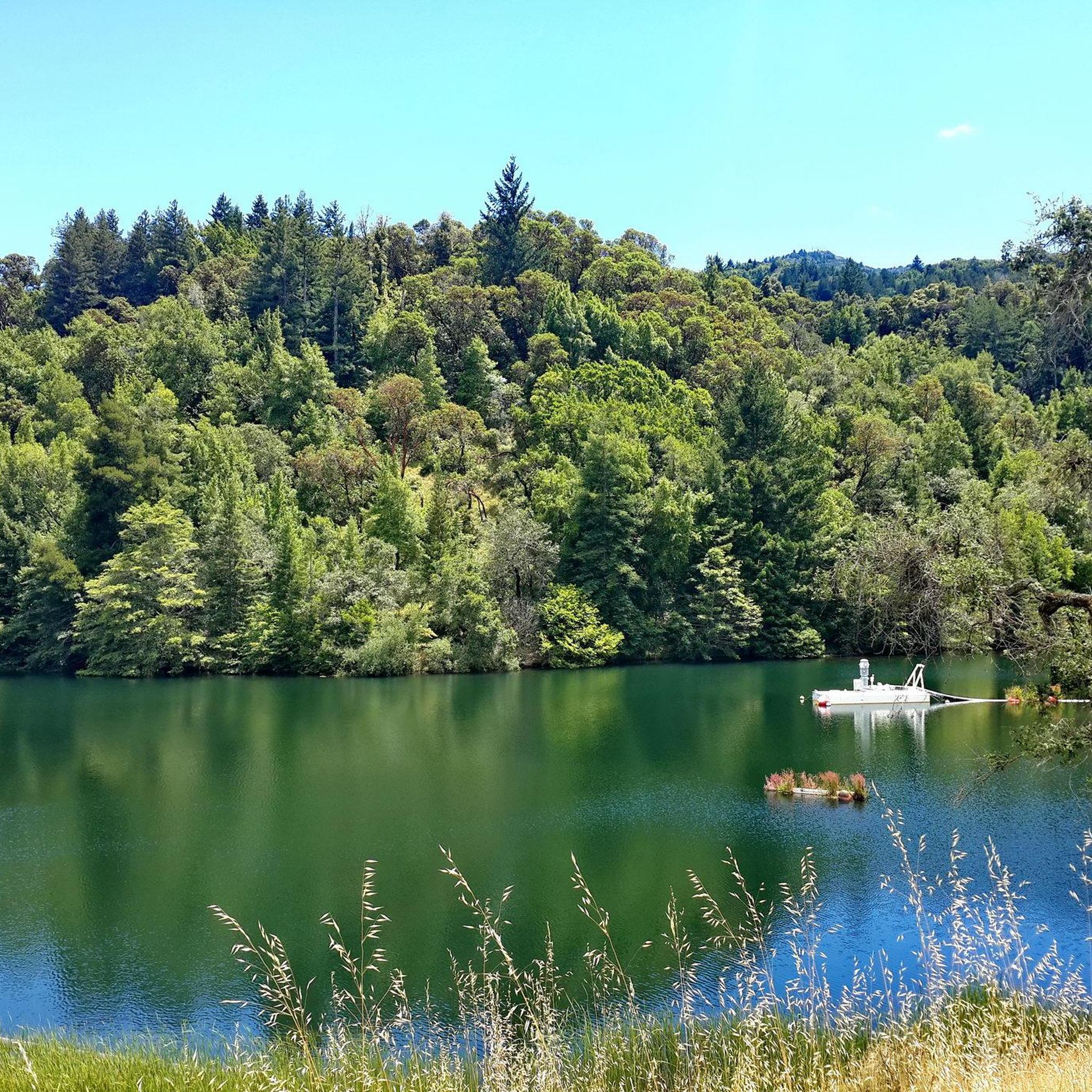
Created by the construction of Seeger Dam on the Nicasio Creek in 1961, this shallow reservoir covers 845 acres and is part of the Marin Municipal Water District
0
0


This overlook designed by Mr. Bowers is one of many highway improvements that are the result of his leadership, innovation and lifelong dedication to attractive highway design, landscaping, erosion control and roadside improvements. The view of the Golden Gate Bridge from here is simply magnificent.
3
0
This overlook designed by Mr. Bowers is one of many highway improvements that are the result of his leadership, innovation and lifelong dedication to attractive highway design, landscaping, erosion control and roadside improvements.
2
0
. H. Dana Bowers (1903-1977) Chief Landscape Architect for the California Division of Highways. Created and promoted the California Highway Beautification Program from 1936 to 1964. This overlook designed by Mr. Bowers is one of many highway improvements that are the result of his leadership, innovation and lifelong dedication to attractive highway design, landscaping, erosion control and roadside improvements. His work is quietly reflected in the beauty of many California highways.
2
0

Really nice spot to view the Golden Gate Bridge!
2
0

Frequently Asked Questions
How many touring cycling routes are available around San Geronimo?
There are over 60 touring cycling routes available around San Geronimo, offering a wide range of options for different skill levels and preferences. You'll find everything from easier paths to more challenging climbs.
What is the general difficulty level of touring cycling routes in San Geronimo?
The routes in San Geronimo cater to various skill levels. While there are a few easy routes, the majority are classified as moderate (around 26 routes) or difficult (around 34 routes), indicating that many rides involve significant distances or elevation changes. For example, the Alpine Lake Dam – Twin Knolls loop from Fairfax is a challenging route with over 1400 meters of elevation gain.
What do other cyclists say about touring cycling in San Geronimo?
The touring cycling routes around San Geronimo are highly rated by the komoot community, with an average score of 4.6 stars from over 35 reviews. Cyclists often praise the diverse landscapes, from rolling hills and lush forests to scenic ridges, and the variety of terrain suitable for different cycling styles.
What kind of terrain can I expect on touring cycling routes in San Geronimo?
San Geronimo's touring cycling routes feature diverse terrain, including rolling hills, lush forests, and meandering creeks within the San Geronimo Valley. You'll encounter paved roads, fire roads like the San Geronimo Ridge Road, and trails that wind through meadows and woods. The region offers a mix of environments, from peaceful natural havens to more challenging mountainous sections.
Are there any routes that offer coastal views or extend towards the coast?
Yes, several routes extend towards the coast or offer coastal views. For instance, the Cross-Marin Trailhead – Point Reyes Station loop from Fairfax takes you through varied landscapes towards the coast. Another extensive option is the Golden Gate Bridge – Sausalito — Mill Valley Path loop from Fairfax, which provides views towards the iconic Golden Gate Bridge and coastal towns.
What natural features or landmarks can I see while cycling in San Geronimo?
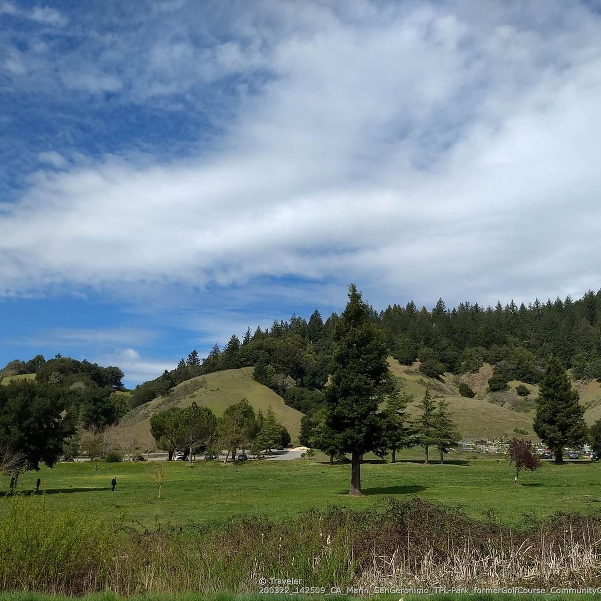
While cycling in San Geronimo, you can explore several notable natural features and landmarks. The region is characterized by the San Geronimo Valley, with its rolling hills, lush forests, and heritage oaks. You might pass by the ecologically significant Lagunitas Creek watershed, home to endangered coho salmon. Nearby attractions include Mount Tamalpais Summits, Roy's Redwoods Open Space Preserve, and White Hill Summit. The San Geronimo Commons, a transformed golf course, also offers scenic trails through wildlife habitats.
Are there family-friendly touring cycling options in San Geronimo?
Yes, San Geronimo offers family-friendly cycling options. The San Geronimo Commons provides mellow biking through meadows and woods, suitable for a relaxed family outing. Additionally, Samuel P. Taylor State Park, nearby, features a level, paved trail that is excellent for families, alongside dirt roads for more adventurous riders.
What are the options for parking when starting a touring cycling route?
While specific parking locations for each route vary, San Geronimo and the surrounding open spaces generally offer designated parking areas at trailheads and parks. For routes starting in Fairfax, you would typically find parking within the town or at nearby open space preserves. It's advisable to check the specific route details on komoot for recommended starting points and parking information.
Is public transport available to access touring cycling routes in San Geronimo?
Public transport options to directly access specific trailheads in San Geronimo for touring cycling might be limited. However, Marin County Transit provides bus services that connect various towns in the region, including those near San Geronimo. Cyclists often combine public transport with short rides to reach their desired starting points. Planning your route in advance and checking local bus schedules is recommended.
What is the best season for touring cycling in San Geronimo?
The best season for touring cycling in San Geronimo is generally spring and fall, when the weather is mild and pleasant. Summers can be warm, but the region's lush forests offer shade. Winters are typically mild but can bring rain, which might make some unpaved sections muddy. Always check the local weather forecast before heading out.
Are there any circular touring cycling routes in the San Geronimo area?
Yes, many touring cycling routes in the San Geronimo area are designed as loops, allowing you to start and end at the same point. Examples include the Sausalito — Mill Valley Path – Corte Madera Pathway loop from Fairfax and the Fairfax Falls 🌊 – Fairfax loop from San Geronimo. These circular routes offer convenience and a varied experience without retracing your path.
Can I find cafes or places to eat near the touring cycling routes?
While San Geronimo itself is a smaller community, the nearby towns like Fairfax, Point Reyes Station, and Sausalito, which are often part of or accessible from the touring cycling routes, offer a variety of cafes, restaurants, and pubs. It's a good idea to plan your route to pass through these towns for refreshment stops.
Most popular attractions around San Geronimo

Get inspired with the komoot mobile app


Explore more
Browse the best Cycling routes in other regions.
