The best walks and hikes around San Diego Country Estates
4.6
(13)
186
hikers
14
hikes
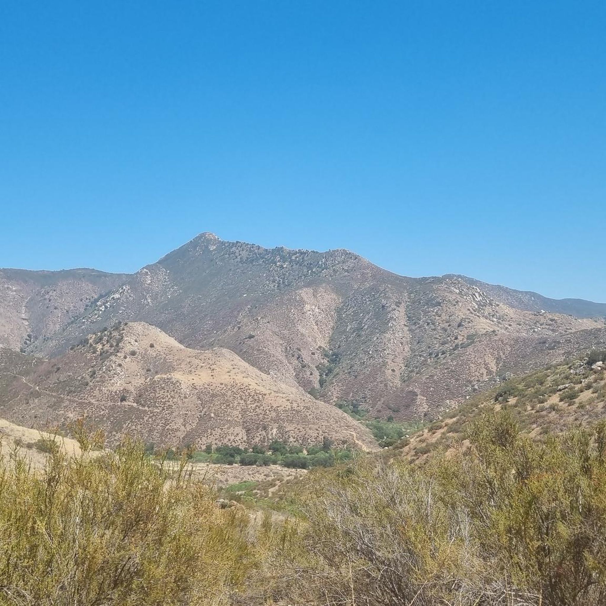
Hikes around San Diego Country Estates explore a landscape of rolling hills, open spaces, and classic Southern California chaparral. The region is characterized by granite boulder formations, groves of oak trees, and riparian forests along its creeks. The trail network provides access to local nature preserves and sections of the Cleveland National Forest.
Best hiking trails around San Diego Country Estates
- The most popular hiking route is Cedar Creek Falls — Cleveland National Forest, a 5.6 mile (9.0 km) trail that takes about 2 hours 45 minutes to complete. This route involves a descent to a waterfall before a steady climb back out.
- Another top favourite among local hiking enthusiasts is Black Canyon Road to Sutherland Lake — Cleveland National Forest, a difficult 11.5 mile (18.4 km) path. The trail follows a wide road with significant elevation gain toward Sutherland Lake.
- Local hiking enthusiasts also love the Barnett Ranch Preserve loop — Barnett Ranch County Preserve, a 3.4 mile (5.4 km) trail leading through grasslands and oak woodlands, often completed in about 1 hour 25 minutes.
- Hiking around San Diego Country Estates is defined by chaparral-covered hills, oak-lined canyons, and trails through open nature preserves. The network of routes offers options for different ability levels, from easy preserve loops to more challenging hikes.
- The routes in San Diego Country Estates are highly rated by the komoot community with an average score of 4.0 stars from a number of reviews. More than 100 hikers have used komoot to explore San Diego Country Estates's varied terrain.
Last updated: October 11, 2026
1
hikers
4.31km
01:14
110m
110m
Embark on an easy hike along the Country Estates Viewpoint Trail, a 2.7-mile (4.3 km) route that offers varied terrain and rewarding vistas. You will begin on a paved path before transitioning to a dirt road, which becomes rockier as you gently ascend. This trail gains 346 feet (105 metres) in elevation, providing spectacular views of the canyon below and stretching all the way to El Capitan Reservoir. Expect to spend around 1 hour and 14 minutes enjoying the chaparral-covered hills and impressive granite boulder formations. Keep an eye out for the granite slabs that form Dye Canyon as you make your way.
Planning your visit to the Country Estates Viewpoint Trail is straightforward, with parking generally available right at the trailhead. Since the route offers little shade, it is wise to avoid hiking during the hottest parts of the day, especially in warmer months. Always check the weather forecast before you head out, particularly if you are hoping to catch a glimpse of the ephemeral Devil's Jump Off waterfall after significant rainfall.
This trail is notable for its diverse landscape, moving from paved sections to rugged dirt roads. You will traverse areas with chaparral-covered hills and oak-lined canyons, showcasing the natural beauty of the region. The route also features impressive granite boulder formations, adding to the unique geological character of the area. After heavy rains, the Devil's Jump Off waterfall can be a spectacular sight, making it a special feature of this hike.
1
hikers
4.24km
01:15
30m
310m
Embark on an easy 2.6-mile (4.2 km) hike along Cedar Creek Falls via Eagle Peak Road, leading you to the impressive 80-foot Cedar Creek Falls. This route, which takes about 1 hour and 15 minutes, involves a gentle descent with only 101 feet (31 metres) of elevation gain on the way down. As you make your way, you'll pass through varied landscapes of oak woodlands, chaparral, and rocky sections, offering striking views of the river valley. Keep an eye out for black oak, cedar, and cottonwood trees, making it a pleasant spot for birdwatching. While the descent is easy, be prepared for a consistent uphill climb on your return journey from the falls.
Before you head out, remember that a permit is required for this trail; you can obtain one through the recreation.gov website. The area is known for extreme heat, particularly from May through November, so it is strongly advised to carry at least one gallon of water per person. You should also avoid hiking on especially hot days to ensure your safety. Accessing the trailhead via Eagle Peak Road involves driving on a narrow, winding dirt road, though it is typically passable for most vehicles.
The highlight of this route is undoubtedly the Cedar Creek Falls, which cascades into a natural swimming hole at its base, offering a refreshing destination. Beyond the main falls, during years with ample rainfall, you might also catch a glimpse of the seasonal 300-foot Mildred Falls. The diverse plant life along the trail also makes it a great location for observing local bird species, adding another layer to your outdoor experience.

1
hikers
5.37km
01:39
210m
170m
Embark on an easy hike along the Simon Open Space Preserve Trail, a 3.3-mile (5.4 km) route that takes about 1 hour and 38 minutes to complete. You will gain 682 feet (208 metres) in elevation as you traverse a mix of grasslands, chaparral, and riparian habitats. The ascent to Ramona Peak is a highlight, offering panoramic views of the San Diego Country Estates from its summit bench, and you can also enjoy views of Mt. Gower and the Cuyamaca Mountains.
Pedestrian access to the preserve is available daily from sunrise to sunset, allowing you to explore at your leisure. Remember to bring all necessary supplies, including water, as there are no facilities available along the trails. While the paths are generally clear, they are unsigned, so it is wise to keep track of your route. Spring is an ideal time to visit, as the wildflowers add vibrant color to the rolling hills.
This trail provides a wonderful opportunity to immerse yourself in the diverse natural environment of the preserve. On particularly clear days, you might even catch a glimpse of distant landmarks such as Mount Palomar and the Pacific Ocean. The Simon Open Space Preserve Trail stands out as a peaceful retreat, offering expansive vistas and a chance to connect with the local ecosystem.
2.16km
00:37
40m
70m
Discover the Country Estates Viewpoint, an easy hiking route that immerses you in classic Southern California chaparral and gentle rolling hills. As you follow the path, you will pass through groves of oak trees and encounter distinctive granite boulder formations. From the trail's higher elevations, you can enjoy sweeping views of the surrounding countryside, a defining feature of the Mt. Gower Open Space Preserve. This accessible hike covers 1.3 miles (2.2 km) with an elevation gain of 122 feet (37 metres), typically taking around 36 minutes to complete.
When planning your visit, you will find that parking is generally available at the trailheads, making it convenient to start your adventure. The San Diego Country Estates area provides an extensive network of trails, offering various options for exploring the local nature preserves. This particular route is highly rated by hikers for its blend of outdoor activity and scenic vistas, providing a quick and rewarding escape into nature.
The Country Estates Viewpoint trail is nestled within the larger Mt. Gower Open Space Preserve, an area known for its diverse natural setting. You will experience the unique ecosystem of Southern California, characterized by its resilient chaparral and scattered oak woodlands. This trail offers a wonderful opportunity to connect with the natural environment and appreciate the regional landscape, serving as an excellent introduction to the broader trail network available in the San Diego Country Estates.
2.84km
00:53
0m
280m
Embark on an easy hike along the Three Sisters Falls Trail, a short route that offers a refreshing escape into the Cleveland National Forest. This trail leads you to a unique three-tiered waterfall, where the water cascades down into multiple swimming holes. The middle tier of the falls is often highlighted as the most impressive sight. You will cover a distance of 1.8 miles (2.8 km) with a minimal elevation gain of just 10 feet (3 metres), making it a gentle journey. Expect to spend around 53 minutes exploring this scenic path.
Before you head out, it is always a good idea to check local conditions for the Three Sisters Falls Trail. The route is generally accessible, and you will typically find parking available directly at the trailhead. Remember to bring plenty of water, even for this shorter hike, especially if you are visiting on warmer days. Planning your visit during cooler parts of the day can enhance your experience.
The Three Sisters Falls Trail stands out in Southern California for its majestic waterfall, a relatively rare natural feature in the region. While the hike itself is short and easy, the main draw is the opportunity to witness this impressive cascade. The falls create several natural pools, inviting you to pause and enjoy the unique environment. This trail offers a quick yet rewarding immersion into nature.
Get access to more routes and recommendations from other explorers.
Already have an account?
Our route recommendations are based on thousands of hikes, rides, and runs completed by other people on komoot.
Start today with a free account
Your next adventure awaits.
Popular around San Diego Country Estates
Tips from the Community

Hiked Cedar Creek Falls 06/08 …heats up in June. Take plenty of water, 34 oz was not enough. The ground temp was 124 degrees. Permits needed and hikers are checked in and checked out. Beautiful views of the Falls make it worth it!
1
0

This Preserve is home to backcountry trails, beautiful viewpoints, meadows,and interesting rock formations. Open 8am-sunset daily.
0
0
Cedar Creek Falls is a beautiful cascade that drops 80 feet into a shimmering pool of water. It's best to visit the falls in the spring or fall, when there is a higher chance of water running. The falls are located in Cleveland National Forest and there is a permit required for the trail leading up to them, so be sure to plan your hike accordingly!
2
0
Frequently Asked Questions
Are there any family-friendly hikes in the San Diego Country Estates area?
Yes, for a gentle and family-friendly outing, the Barnett Ranch Preserve loop is an excellent choice. This trail is relatively flat and leads through grasslands and oak woodlands, offering good opportunities for wildlife spotting. Another easy option is the Ernie Pantoja Memorial Trail loop within Dos Picos County Park, which is short and suitable for all ages.
I'm looking for a challenging hike. What do you recommend?
For a strenuous workout with rewarding views, consider the Black Canyon Road to Sutherland Lake trail. It's a long route with significant elevation gain. Another classic challenge is the hike to Mount Gower, known for its steep sections and panoramic views that can stretch to the Pacific Ocean on clear days.
Are dogs allowed on the hiking trails?
Many trails in the area are dog-friendly, but rules vary by location. Barnett Ranch County Preserve and most trails in the Cleveland National Forest generally allow dogs on a leash. However, dogs are not permitted on the Cedar Creek Falls trail to protect the habitat and ensure visitor safety. Always check the specific regulations for the park or preserve you plan to visit before bringing your dog.
What do I need to know about hiking to Cedar Creek Falls?
The hike to Cedar Creek Falls is a beautiful but strenuous 'reverse hike' — you descend into a canyon to the waterfall and must climb back out in what is often direct sun exposure. A visitor use permit is required for each person to access the trail, and they must be purchased online in advance. Be sure to carry plenty of water, as there is none available on the trail.
What is the best time of year to hike around San Diego Country Estates?
The best seasons for hiking are fall, winter, and spring when temperatures are cooler. Summer can be extremely hot, especially on exposed trails, making hikes more dangerous and less enjoyable. Spring is particularly beautiful, as the hillsides are often covered in wildflowers.
Which trails offer the best views?
For spectacular panoramic views, the summit of Mount Gower is hard to beat, offering vistas of the surrounding mountains and valleys. The hike to the famous Potato Chip Rock on Mount Woodson is another local favorite, renowned for its unique rock formation and sweeping views. Even shorter trails, like those in Barnett Ranch Preserve, provide fantastic viewpoints of the San Vicente Valley.
Are there any good trails for trail running?
Yes, the region offers several options for trail runners. The relatively flat and rolling trails within Barnett Ranch Preserve are popular for a quicker-paced workout. For those seeking more of a challenge, the wide fire roads like Black Canyon Road provide long, sustained climbs perfect for endurance training.
How many hiking trails are in the San Diego Country Estates area?
The community itself contains over 50 miles of trails for hiking, biking, and equestrian use. When combined with the numerous routes in nearby parks and preserves like Mt. Gower Open Space Preserve and Cleveland National Forest, there are dozens of trails to explore, catering to all skill levels.
What do other hikers enjoy most about the area?
The trails around San Diego Country Estates are well-regarded by the komoot community. Reviewers often praise the region's diverse scenery, from the dramatic granite boulders of Mt. Gower to the tranquil oak woodlands and wildflower fields. The sense of being in a vast, open landscape while still close to amenities is a frequently mentioned highlight.
Are there any easy, shorter hikes available?
Absolutely. For a quick and accessible hike, the Swartz Canyon Trail is a great option. It's a relatively short out-and-back route that gives you a taste of the Mt. Gower landscape without requiring a full summit attempt.
What are some popular hiking destinations near San Diego Country Estates?
Several highly-regarded hiking spots are just a short drive away. The Cedar Creek Falls Trailhead is a major draw for its stunning waterfall. For a different experience, many hikers visit Potato Chip Rock for its iconic photo opportunity. Mission Trails Regional Park also offers an extensive network of trails, including the popular climb up Cowles Mountain.
Most popular routes around San Diego Country Estates

Get inspired with the komoot mobile app


Explore more
Browse the best Hikes in other regions.
