The best walks and hikes around Université Pepperdine
4.4
(117)
1,353
hikers
58
hikes
Hikes near Pepperdine University explore the coastal canyons and ridges of the Santa Monica Mountains. The area is defined by its proximity to the Pacific Ocean, offering trails that navigate through chaparral-covered hillsides and along coastal bluffs. The network of routes provides a mix of canyon floors and ridge-top paths with varied elevation changes.
Best hiking trails around Université Pepperdine
- The most popular hiking route is Solstice Canyon loop — Santa Monica Mountains National Recreation Area, a 4.0 mile…
Last updated: October 1, 2026
4
hikers
5.04km
01:46
270m
300m
Embark on the Corral Canyon Loop Trail for an easy hike that offers a mix of coastal and mountain views. You will cover 3.1 miles (5.0 km) and gain 880…
2
hikers
9.76km
03:09
610m
100m
Embark on the Mesa Peak via Puerco Motorway, a moderate hiking route that delivers continuous, sweeping views of the Pacific Ocean and surrounding canyons. This 6.1-mile (9.8 km) journey involves…

2.59km
00:43
50m
50m
The Malibu Bluff Trail offers an easy hiking experience, perfect for a quick escape with ocean views. You will cover 1.6 miles (2.6 km) with a gentle elevation gain of…
2.06km
00:36
50m
50m
Embark on the TRW Loop Trail for an easy 1.3-mile (2.1 km) hike that takes about 35 minutes to complete. You will gain 168 feet (51 metres) in elevation as…
4.5
(11)
242
hikers
6.55km
02:00
220m
220m
Embark on the Solstice Canyon Loop Trail for an easy 4.1 miles (6.5 km) hike, offering a diverse experience in the Santa Monica Mountains. You will gain 714 feet (218…
Get access to more routes and recommendations from other explorers.
Already have an account?
Our route recommendations are based on thousands of hikes, rides, and runs completed by other people on komoot.
Start today with a free account
Your next adventure awaits.

Tips from the Community

This trailhead, adjacent to the Malibu Seafood Market, marks the beginning of a 2.5-mile loop trail that climbs to the Puerco Canyon. Parking is $12, or you can choose public transit. There is an MTA bus stop at the park entrance. Restrooms, a picnic table area, sitting benches and educational displays are here. During the spring and early summer, beautiful wildflowers cover the hillsides with fantastic ocean views. This trail is known to be very overgrown, so wearing long pants and sturdy footwear is ideal for a better experience. There is minimal shade along the way, so bringing a hat and plenty of water is recommended.
0
0

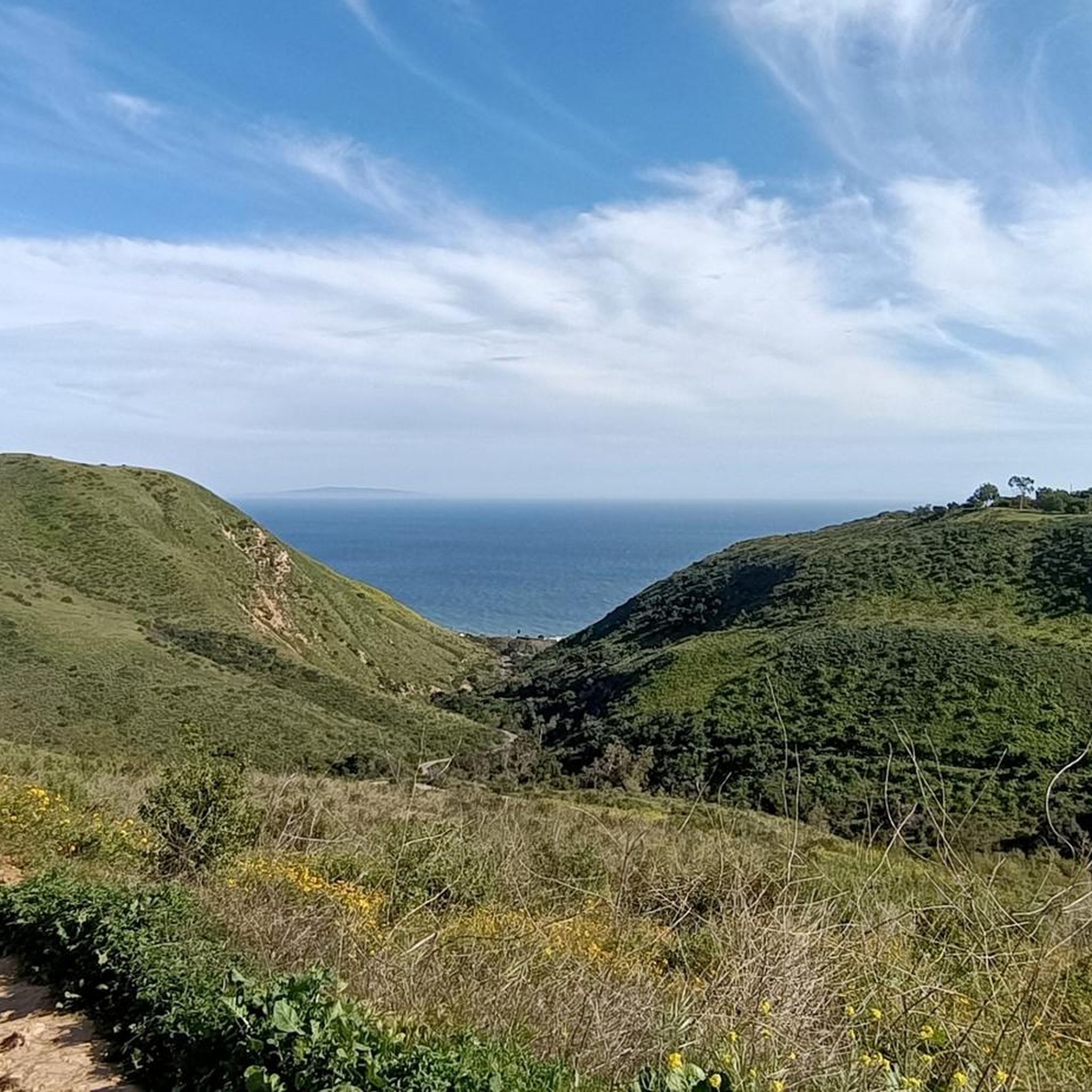
A beautiful spot with great views looking out over the Pacific Ocean and down over the nearby rolling hills that lead into Malibu.
0
0

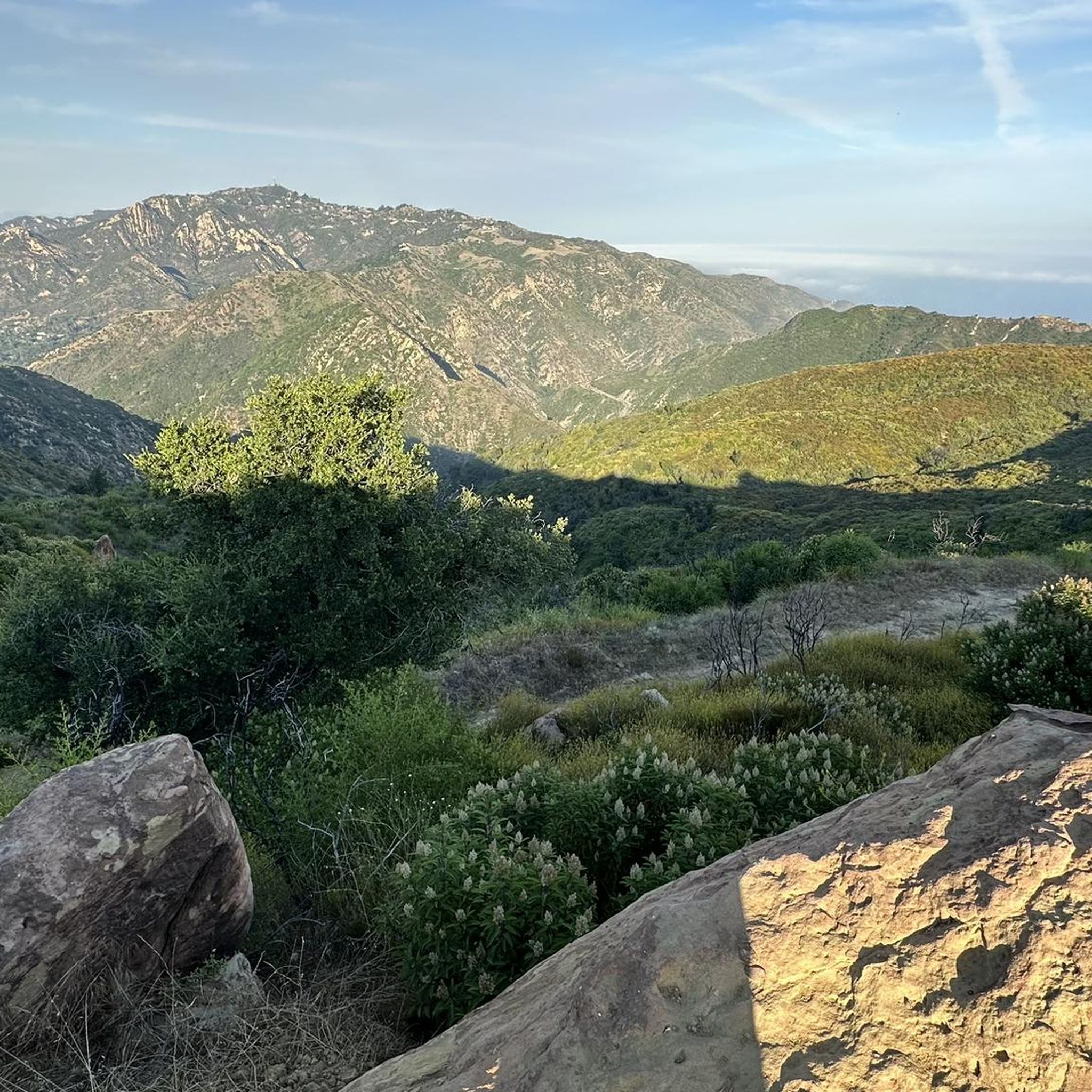
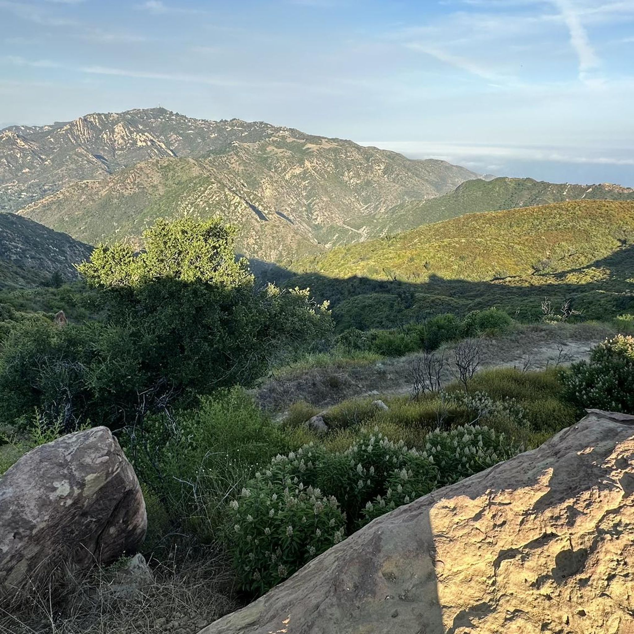
This junction leads to Mesa Peak, with stunning views of the Santa Monica Mountains and Pacific Ocean. It is an excellent opportunity to stop for a short break and take memorable photos.
0
0
This trailhead marks the beginning of a 2.5-mile loop trail that climbs to the Puerco Canyon. Parking is $12, or you can choose public transit. There is an MTA bus stop at the park entrance. Restrooms, a picnic table area, sitting benches and educational displays are here. During the spring and early summer, beautiful wildflowers cover the hillsides with fantastic ocean views. This trail is known to be very overgrown, so wearing long pants and sturdy footwear is ideal for a better experience. There is minimal shade along the way, so bringing a hat and plenty of water is recommended.
0
0
These ruins were once home to Fred and Florence Roberts, founders of the Roberts Public Markets chain based in Santa Monica. The Roberts Ranch originally spanned over 1,000 acres which is now a popular hiking destination for those who love to explore the Solstice Canyon.
0
0
This trail connects to the northern end of Solstice Trail. It boasts stunning views of the Pacific Ocean as it winds in and out of the canyon.
0
1

Frequently Asked Questions
Are there any easy, family-friendly hikes near Pepperdine University?
Yes, the area offers several accessible trails perfect for families. The Malibu Lagoon, State Beach, and Bluffs walk is a great option, as it's relatively flat and provides beautiful coastal scenery. Another choice is the main trail in Solstice Canyon, which is a wide, gently graded path suitable for most fitness levels.
Can I bring my dog on the trails in the Santa Monica Mountains?
Dog policies vary by park. In general, dogs are permitted on-leash in many parts of the Santa Monica Mountains National Recreation Area, but they are typically not allowed on state park trails, such as those within Malibu Creek State Park or Leo Carrillo State Park. Always check the specific regulations for the trail you plan to hike before you go.
Are there any hikes with waterfalls near Malibu?
Escondido Falls is the most well-known waterfall hike in the area. The trail to the lower falls is a popular and relatively straightforward hike that involves a few creek crossings. Reaching the upper falls is a much more difficult and dangerous scramble, and is not recommended for most hikers.
What are the parking options for the main trailheads?
Parking can be challenging, especially on weekends. Major trailheads like Solstice Canyon and Malibu Creek State Park have dedicated lots that often fill up early. Some trailheads rely on limited street parking along the Pacific Coast Highway or canyon roads. Arriving early is the best strategy to secure a spot.
How many hiking trails are there around Pepperdine University?
There are over 50 distinct hiking routes in the immediate area, ranging from easy coastal walks to strenuous mountain climbs. This network of trails explores the diverse landscapes of the Santa Monica Mountains, from shaded canyons to exposed ridges with ocean views.
What's the hike to the Pepperdine Cross like?
The trail to the large cross overlooking the campus is a steep and challenging trek, primarily on a fire road with sections of loose gravel. It's an exposed route with very little shade, so it's best attempted on cooler days. The reward is a panoramic view of the university, Malibu, and the Pacific Ocean.
Are there any good circular hikes in the area?
Many of the best hikes are loops. The Solstice Canyon loop is a popular favorite that combines a shaded canyon walk with a return trip along a ridge offering ocean vistas. For a shorter option, the Corral Canyon Trail loop provides great coastal and canyon views without a major climb.
What kind of terrain should I expect on these hikes?
The terrain is classic Southern California coastal mountain landscape. Expect a mix of wide fire roads, single-track trails, and some rocky, uneven sections. Many trails are exposed with limited shade, winding through chaparral-covered hillsides. Sturdy footwear is recommended for most routes.
Are any of the trails accessible by public transport?
Accessing trailheads directly via public transport is limited. The Metro Bus line 534 runs along the Pacific Coast Highway (PCH), which can get you close to coastal trailheads like those at Malibu Bluffs Park or Corral Canyon. However, reaching trailheads further inland, like Malibu Creek State Park, typically requires a car.
Which hike offers the best ocean views?
Many trails feature stunning ocean views. For a challenging hike with a massive payoff, the Puerco Motorway & Mesa Peak Trail climbs high into the mountains for expansive coastal panoramas. For a more moderate option, the ridge portion of the Sostomo & Deer Valley Loop also provides excellent views of the Pacific.
What do other hikers enjoy about the trails near Pepperdine?
The area is highly rated by the komoot community. Hikers often praise the dramatic contrast between the rugged canyons and the expansive Pacific Ocean views. The accessibility of such wild-feeling trails so close to the city is another frequently mentioned highlight.
What are the hiking options in Malibu Creek State Park?
Malibu Creek State Park offers a variety of trails through oak and sycamore woodlands along the creek. It's known for its volcanic rock gorges and scenic pools. Popular hikes lead to the former filming location of the M*A*S*H television show and to the Rock Pool, a swimming hole. Note that state park rules often differ from the surrounding national recreation area, particularly regarding dogs. For official information, you can visit the California State Parks website.
Most popular routes around Université Pepperdine
Most popular attractions around Université Pepperdine

Get inspired with the komoot mobile app


Explore more
Browse the best Hikes in other regions.
