Attractions and Places To See around North Fair Oaks - Top 20
Best attractions and places to see around North Fair Oaks, an unincorporated area in San Mateo County, California, include local parks and cultural sites. The region is characterized by a unique microclimate and the presence of the Hetch Hetchy Aqueduct. Its significant Latino population contributes to a rich cultural heritage, often referred to as "Little Michoacán," with vibrant murals and local festivals. These features offer a blend of natural spaces and community expressions for visitors to explore.
Best attractions and places to see around North Fair Oaks
- The most popular attractions is Old La Honda Road, a climb that lasts for almost exactly 3 miles with an average grade just under 8%. This narrow road has extremely light traffic, offering a good workout for cyclists.
- Another must-see spot is Kings Mountain Road, a cycle way. This narrow and very twisty road descends for a little over 4 miles with an overall average grade of about -7.5%, providing a fast and exhilarating ride under moderate tree cover.
- Visitors also love Junipero Serra Boulevard, a cycle way with a generous, paved bike lane in both directions. This route offers a good, rolling straight run, mostly independent of car traffic due to dedicated bike lanes.
- North Fair Oaks is known for its local parks, cultural sites like murals and festivals, and historical landmarks. These attractions offer a variety of experiences, from recreational green spaces to insights into the area's heritage.
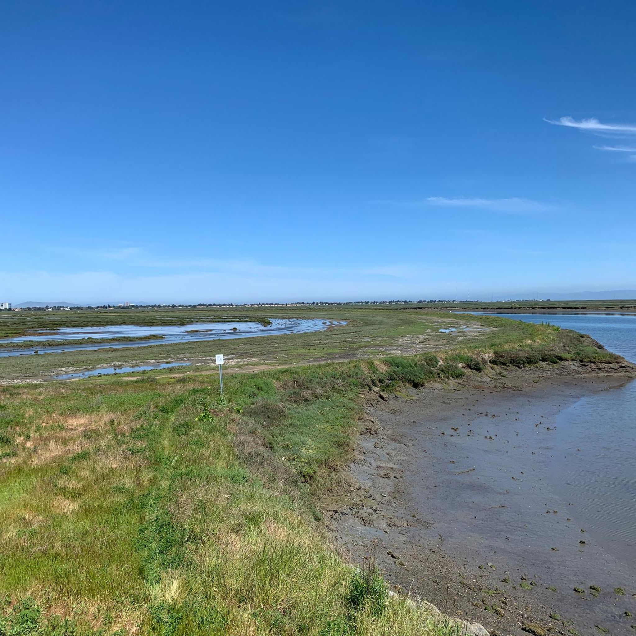
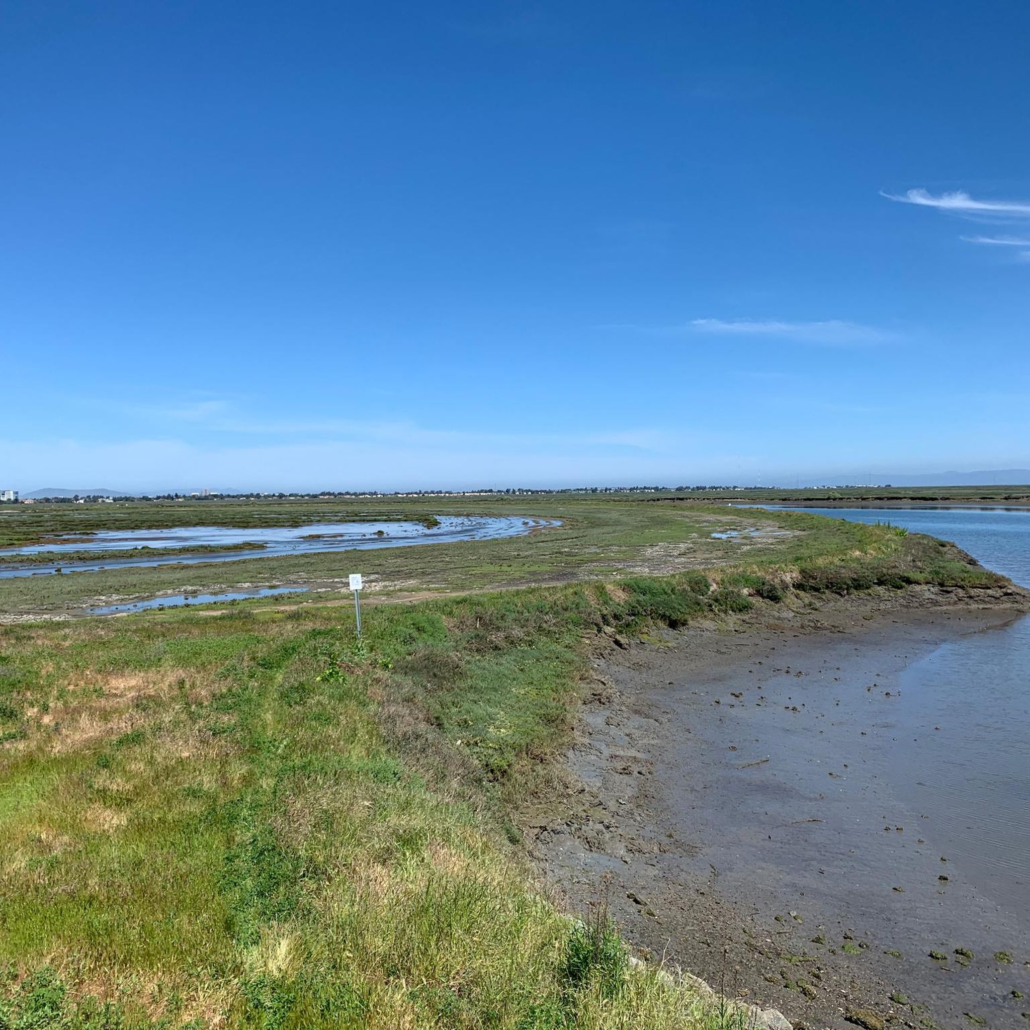
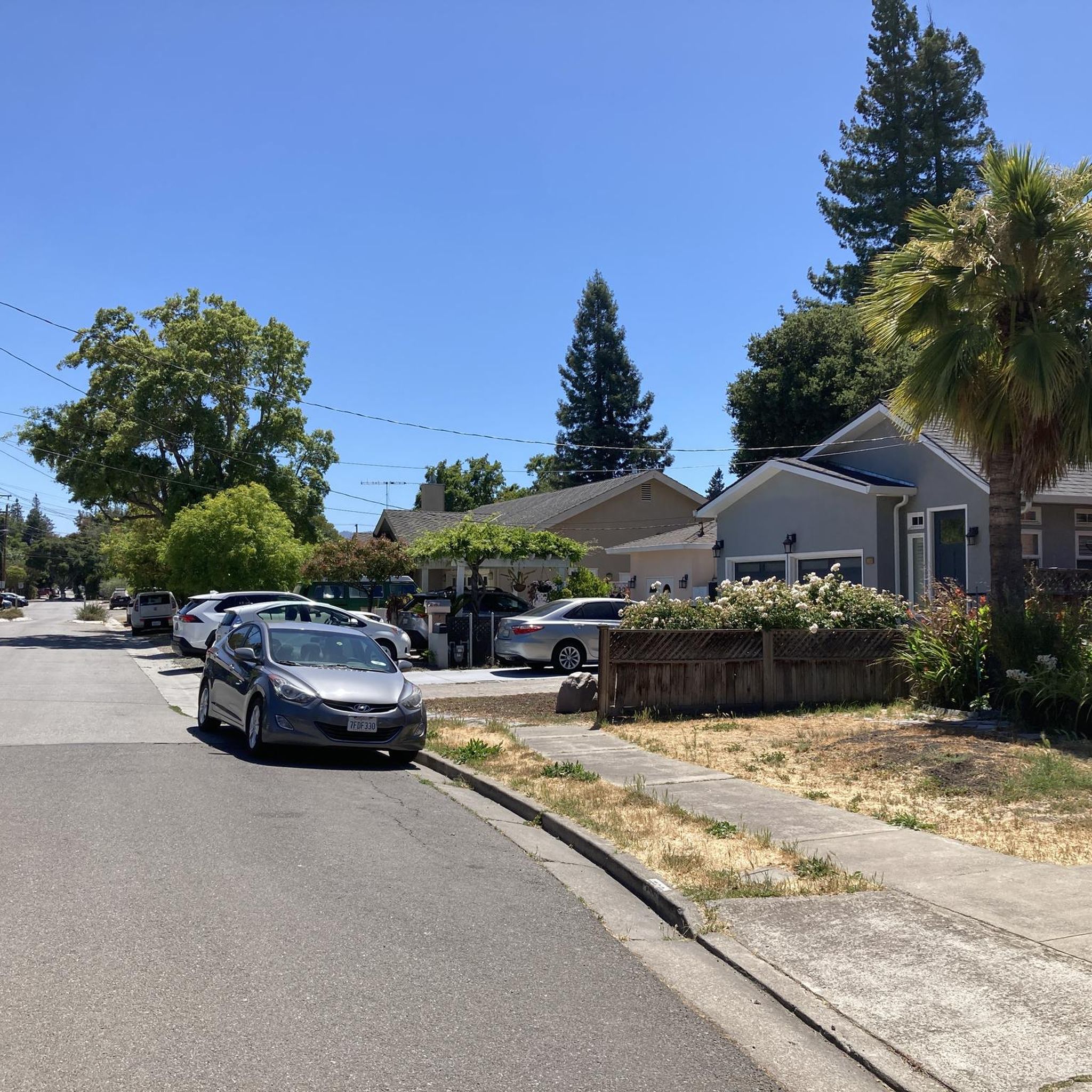
- The attractions around North Fair Oaks are appreciated by the komoot community, with over 70 upvotes and more than 20 photos shared by users.
Last updated: July 29, 2026
Old La Honda Road
Highlight (Segment) • Climb
Tip by

Kings Mountain Road
Highlight (Segment) • Cycleway
Tip by
Sign up now to discover places like this
Get recommendations on the best single tracks, peaks, & plenty of other exciting outdoor places.
Sign up for free
Junipero Serra Boulevard
Highlight (Segment) • Cycleway
Car traffic is everpresent on this route, and it can get particularly busy during commute hours on weekdays, though this shouldn't concern you much because (other than having to switch to the left-hand side of the right-turn lane at some intersections) you will be mostly independent of the traffic lanes in your own bike lane during this ride. Meanwhile, weekends with good weather will result in heavy bicycle traffic, in which case it would be worthwhile to pay extra attention to fast riders that might be approaching from behind, at least when you're stopping or resuming after a stop.
Tip by
Pulgas Water Temple
Highlight • Monument
On October 28, 1934, the roar of Hetch Hetchy mountain water greeted everyone gathered at Pulgas Water Temple to celebrate its arrival. With vivid memories of the fire that had raged after the Great Earthquake of 1906, the city rejoiced in its new secure, plentiful supply of high quality drinking water. The frieze above the columns expresses the city’s relief: “I give waters in the wilderness and rivers in the desert, to give drink to my people.”
Pulgas Water Temple was designed in the Beaux Arts style by William Merchant, a San Francisco architect trained by Bernard Maybeck. Merchant’s design featured fluted columns and Corinthian capitals to reflect the architecture of ancient Greeks and Romans, whose engineering methods were used to build the new water system. Artist and master stone carver Albert Bernasconi brought Merchant’s drawings to life.
Pulgas Water Temple is located about one-half mile south of the Cañada Road trailhead.
Open free to bikers & pedestrians every day, car parking opens only M-F 9-4
sfwater.org/index.aspx?page=93
Biketrail with more highlights and annotated photos at komoot.com/tour/11413421
Tip by

Woodside Store (Historic Site)
Highlight • Historical Site
Tip by
Sign up for free to discover even more attractions around North Fair Oaks.
Sign up for free
Already have an account?
Start today with a free account
Your next adventure awaits.
Login or Signup

Tips from the Community

A fun, pretty place to stop while riding Cañada road. I has water and an air pump and bathrooms. Take a photo with friends.
0
0

You're not hallucinating: This monument was deliberately built in the style of ancient Greek and Roman architecture, to commemorate the Great Depression-era Hetchy Hetchy Project that brought water down from the mountains to the Bay Area. The frieze says, “I give waters in the wilderness and rivers in the desert, to give drink to my people.”
1
0

Didn’t OLR used to turn into Dirt before reaching Skyline? Is it all pavement now?? Scott
0
0


Woodside Store was built back in the 1850s by two pioneers who came to California for the gold rush. At the time it was the only stagecoach stop between San Francisco and Santa Clara, and it carried all the essential items that travelers riding between cities might need. The store has been restored, inside and out, to look exactly as it did centuries ago. You can call the museum ahead of your trip to book tours.
0
0

While this is an expressway, there is good room for safe riding and most of the day it isn't too heavily trafficked which makes for a great, rolling straight run
1
0

Old La Honda Rd downhill video: https://youtu.be/icnBpBZQ8gE?si=xYovaH-Nr8llwLEM
0
0

The Woodside Store, also known as Tripp Store, is located at 3300 Tripp Road at Kings Mountain Road in Woodside, San Mateo County, California. It has been listed on the National Register of Historic Places since 1985 and was designated a California Historical Landmark in 1949. The store's history dates back to October 1849 when Matthias Alfred Parkhurst purchased land in the area and began a shingle-making and lumber business with his partners, including Robert Orville Tripp. The store was established in 1853, originally serving the needs of lumbermen and settlers during the Gold Rush era. Dr. Tripp became the sole operator of the store after Parkhurst's death in 1863, running it until his own death in 1909. He was a well-known figure in Woodside, holding various public offices. The San Mateo County Historical Association acquired the store in the 1940s, and it was restored to its 1880s condition by 1994.
0
0
Frequently Asked Questions
What unique cultural attractions can I explore in North Fair Oaks?
North Fair Oaks, often called "Little Michoacán" or "Little Mexico," is rich in cultural heritage. You can discover vibrant murals throughout the area, such as the Healthy Community Mural on the 5th Avenue underpass pedestrian walkway, which celebrates the community's history and culture. The area also hosts local festivals, including the annual North Fair Oaks Festival.
Are there historical landmarks to visit near North Fair Oaks?
Yes, several historical sites are accessible. The Pulgas Water Temple is a monument commemorating the Hetch Hetchy Project, which brought water to the Bay Area. Another significant site is the Woodside Store (Historic Site), an open-air pioneer settlement museum that dates back to the 1850s and served as a crucial stagecoach stop.
What kind of outdoor activities, like cycling, are popular around North Fair Oaks?
The area is popular with cyclists. You can challenge yourself on Old La Honda Road, a climb lasting almost 3 miles with an average grade just under 8%. For an exhilarating descent, try Kings Mountain Road, a very twisty road with an average grade of about -7.5%. Junipero Serra Boulevard offers a good, rolling straight run with dedicated bike lanes. For more cycling options, explore the Cycling around North Fair Oaks guide.
Are there hiking trails near North Fair Oaks?
Yes, there are several hiking opportunities nearby. You can find easy hikes such as the Edgewood Trail loop in Edgewood Park and Nature Preserve, or the Inner Bair Island via San Francisco Bay Trail. For a comprehensive list of options, refer to the Easy hikes around North Fair Oaks guide.
What natural features can I see in North Fair Oaks?
North Fair Oaks features several local parks like Friendship Park, FOBA Park, and the NFO Community Park, providing green spaces for recreation. The significant Hetch Hetchy Aqueduct, a water pipe system for the San Francisco Peninsula, also runs through the area. The region benefits from a unique microclimate, offering sunny and warm weather moderated by ocean and bay breezes.
Are there family-friendly attractions in North Fair Oaks?
Absolutely. Friendship Park offers a colorful playground and picnic tables, making it ideal for families. The Pulgas Water Temple and the Woodside Store (Historic Site) are also noted as family-friendly attractions, offering both historical insight and pleasant surroundings.
What is the best time of year to visit North Fair Oaks?
North Fair Oaks enjoys a unique microclimate, characterized by sunny and warm weather throughout much of the year, moderated by ocean and bay breezes. This makes it a pleasant destination for outdoor activities and exploring attractions during most seasons.
What do visitors enjoy most about the attractions around North Fair Oaks?
Visitors appreciate the variety of experiences, from challenging cycling routes like Old La Honda Road to the historical significance of sites like the Pulgas Water Temple. The community also values the local parks and cultural expressions, such as the vibrant murals, which offer a blend of natural beauty and rich heritage.
Are there running trails available near North Fair Oaks?
Yes, there are several running trails in the vicinity. Popular options include the Bedwell Bayfront Park loop and the Cordilleras Creek loop. You can find more detailed information and routes in the Running Trails around North Fair Oaks guide.
What are some notable attractions outside of North Fair Oaks but easily accessible?
Nearby, you can visit the beautiful Filoli Historic House & Garden. For outdoor enthusiasts, Windy Hill Open Space Preserve and Sam McDonald Park offer hiking opportunities. Prestigious institutions like Stanford University and the tech hubs of Silicon Valley are also within easy reach.
Is there parking available at the attractions?
Parking availability varies by attraction. For instance, car parking at the Pulgas Water Temple is open only Monday through Friday from 9 AM to 4 PM, though it's accessible to bikers and pedestrians every day. For other locations, it's advisable to check specific details before your visit.
Most popular attractions around North Fair Oaks

Get inspired with the komoot mobile app


Explore more
Still not found the Highlight you’re looking for? See guides of the top attractions in other regions:
