The best road cycling routes around Norris Canyon
4.8
(53)
3,811
riders
123
rides
Road cycling routes around Norris Canyon are characterized by a network of established trails and loops, offering varied terrain for cyclists. The region features paths that follow creek beds and connect local communities, providing a mix of flat sections and gentle ascents. Road cyclists can expect routes that traverse suburban areas and natural corridors, suitable for different skill levels.
Best road cycling routes around Norris Canyon
- The most popular road cycling route is Iron Horse and Tassajara Loop, a…
Last updated: May 11, 2026
47
riders
51.8km
02:16
290m
290m
Moderate road ride. Good fitness required. Mostly well-paved surfaces and easy to ride.
24
riders
28.4km
01:17
210m
210m
Easy road ride. Great for any fitness level. Mostly well-paved surfaces and easy to ride.

Sign up for free
5.0
(2)
40
riders
44.0km
01:50
240m
240m
Easy road ride. Great for any fitness level. Mostly well-paved surfaces and easy to ride.
38
riders
49.2km
02:28
560m
560m
Moderate road ride. Good fitness required. Mostly well-paved surfaces and easy to ride.
5.0
(1)
35
riders
51.6km
02:25
260m
260m
Moderate road ride. Good fitness required. Some segments of this route may be unpaved and difficult to ride.
Get access to more routes and recommendations from other explorers.
Sign up for free
Already have an account?
Our route recommendations are based on thousands of hikes, rides, and runs completed by other people on komoot.
Start today with a free account
Your next adventure awaits.
Login or Signup
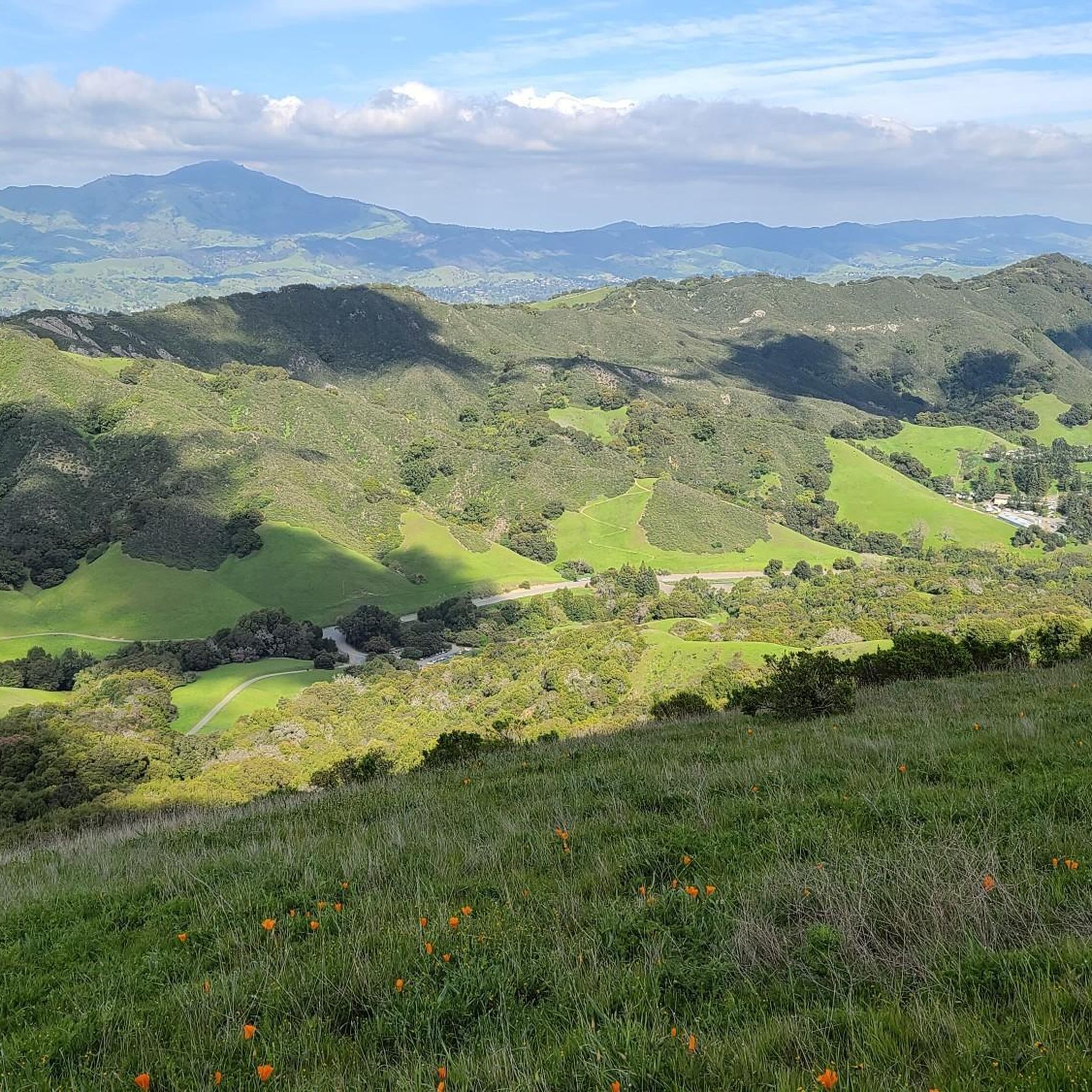
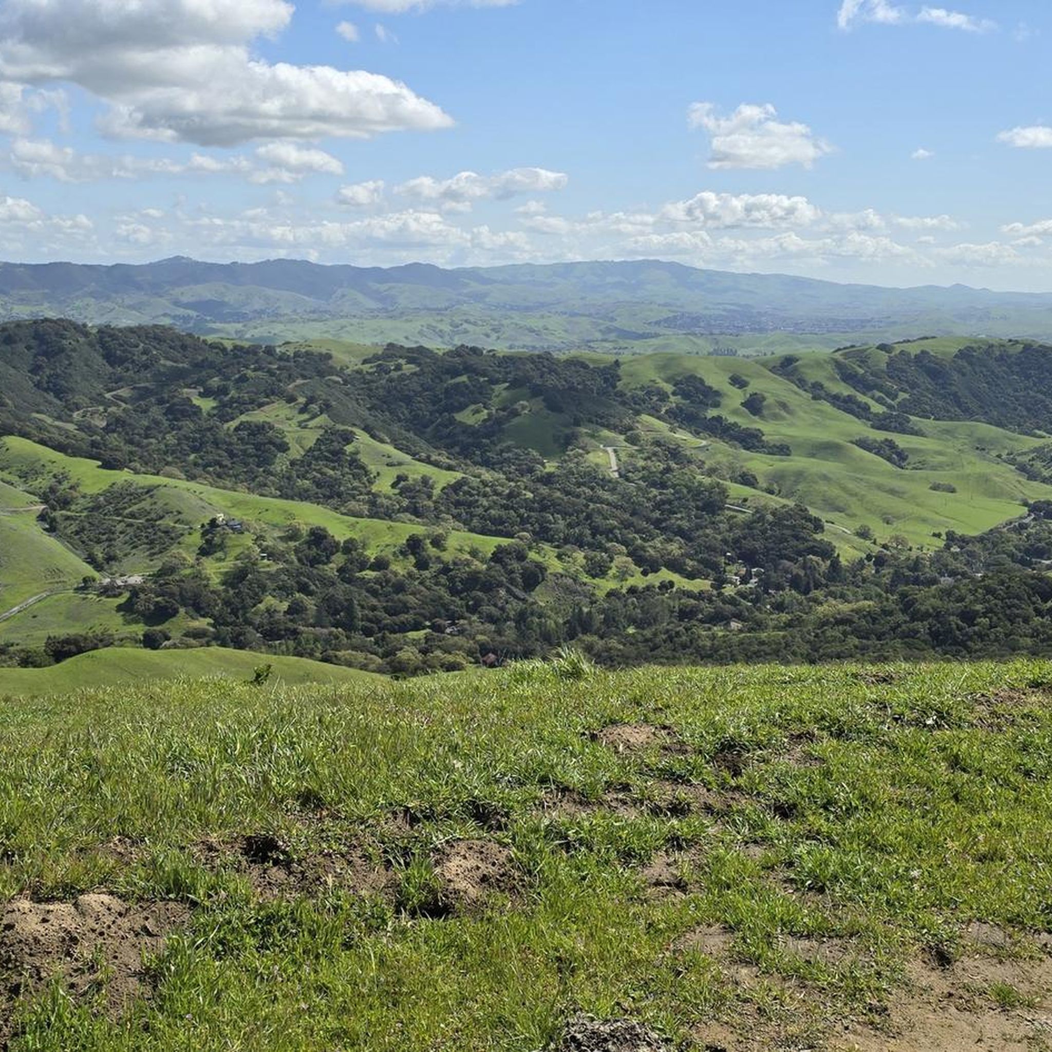
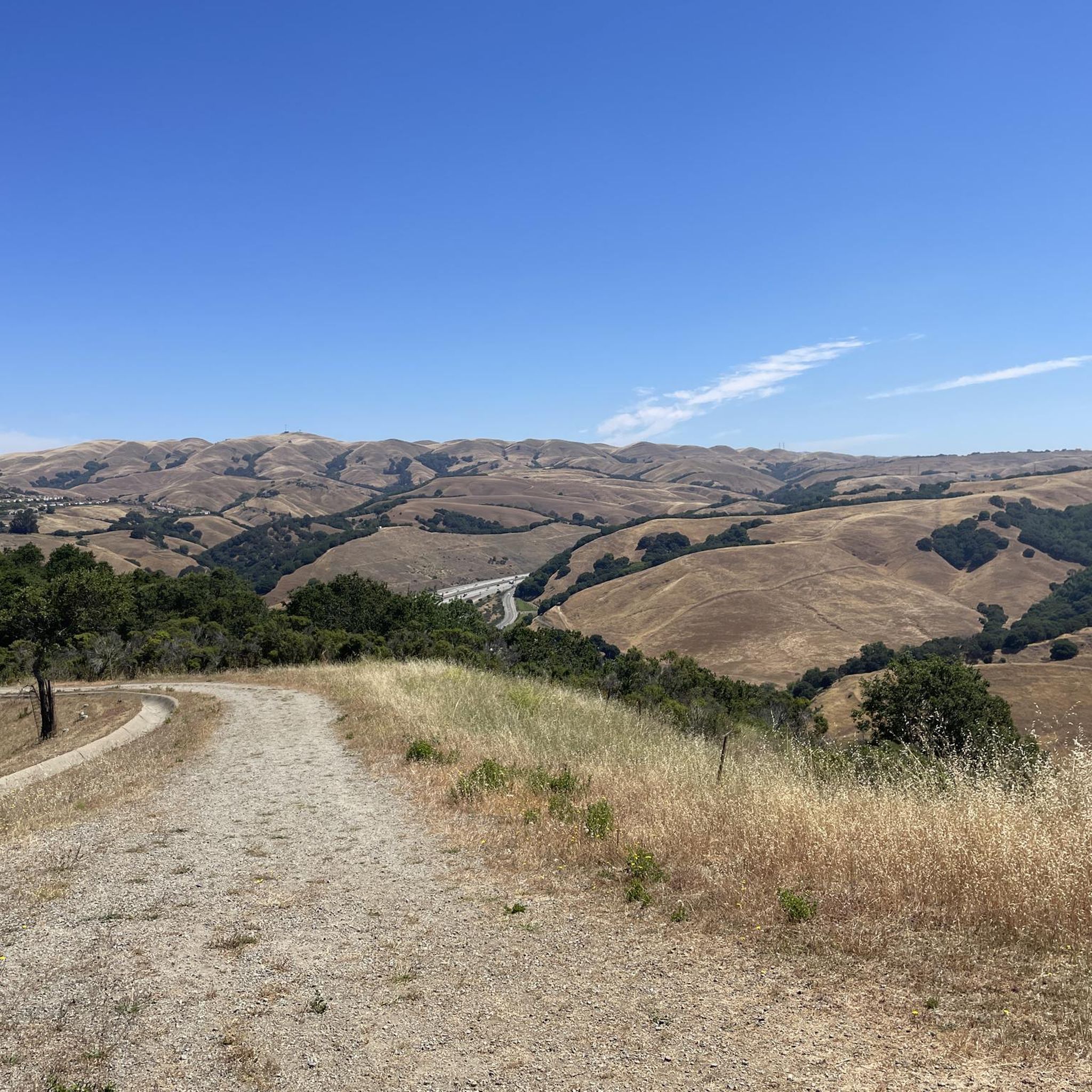
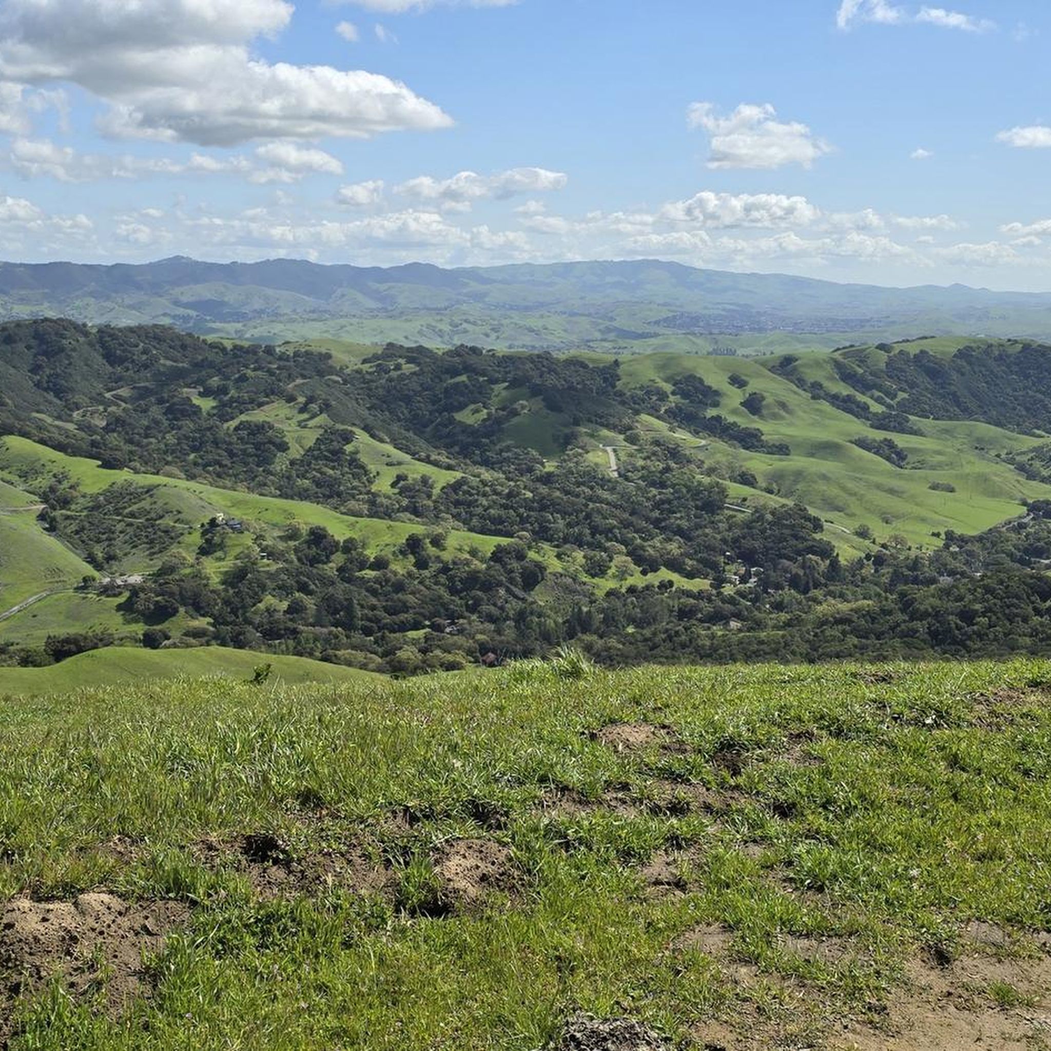

Tips from the Community

The Museum of the San Ramon Valley was established in 1985 and sits in a restored 1891 Southern Pacific Railroad Depot with the Victorian-era “Combination Station No. 22” listed on the National Register of Historic Places. The Official Visitor Information Center offers maps, guides, and knowledgeable staff, along with free parking and restrooms located in the caboose.
1
0

Though very short, this small section of easily visible cycling lane makes the intersection much easier to navigate on your bike.
0
0
This stretch of Foothill Road runs between the city and Pleasanton Ridge, giving you a great feeling of being on the edge of wilderness.
0
0
This section of Foothill Road follows closely along Arroyo de la Laguna. Seeing the river and unique farm animals on the side of the road is a treat!
0
0
The Iron Horse Trail is a 32-mile multi-use path that connects Concord to Pleasanton, following the old route of the Southern Pacific Railroad; established in 1891 and abandoned in 1977. It is a great trail for recreation and commuting routes, connecting residential and commercial areas, schools, parks, and public transit.
0
0

Stay on the fire roads until you get your bearings...once you become familiar with the park you can explore the single/double track at your leisure...Great views of Pleasanton and Livermore in the distance!
0
0

Danville is situated in the heart of the San Ramon Valley and has been voted "the safest town in California" for five consecutive years. It offers trendy restaurants, boutiques, and a thriving art scene.
0
0
The Sunol Depot houses the Niles Canyon Railway, a museum that showcases the role of the railroad in the development of California, as well as the United States.
0
0
Frequently Asked Questions
How many road cycling routes are available in Norris Canyon?
Norris Canyon offers a wide selection of road cycling routes, with over 110 tours available. These routes cater to various skill levels, from easy rides to more challenging excursions.
What is the overall difficulty level of road cycling in Norris Canyon?
The road cycling routes in Norris Canyon are predominantly easy to moderate. Approximately 56 routes are classified as easy, 52 as moderate, and 11 as difficult, providing options for all experience levels.
What do other road cyclists enjoy most about the routes in Norris Canyon?
The routes in Norris Canyon are highly rated by the komoot community, with an average score of 4.8 stars from over 40 reviews. Cyclists often praise the varied terrain, which includes established trails, creek-side paths, and suburban connectors, making for diverse and enjoyable rides.
Are there easy road cycling routes suitable for beginners in Norris Canyon?
Yes, Norris Canyon has numerous easy routes perfect for beginners. An excellent option is the Iron Horse Trail and Danville Loop, an easy 17.7-mile (28.4 km) path that offers a pleasant ride through Danville.
Are there challenging road cycling routes for experienced cyclists in Norris Canyon?
While most routes are easy to moderate, there are 11 routes classified as difficult for those seeking a greater challenge. These routes often feature more significant elevation changes and longer distances, providing a good workout for experienced riders.
Are there any loop road cycling trails in Norris Canyon?
Yes, many road cycling routes in Norris Canyon are designed as loops, offering convenient starting and ending points. Examples include the popular Iron Horse and Tassajara Loop and the San Ramon Creek Trail loop from San Ramon Valley Boulevard & Hooper Drive.
What kind of terrain can I expect on road cycling routes in Norris Canyon?
Road cycling routes in Norris Canyon feature a mix of established trails, creek-side paths, and suburban connectors. You'll find varied terrain, from flat sections ideal for cruising to gentle ascents that add a bit of challenge.
Are there any interesting landmarks or attractions along the road cycling routes in Norris Canyon?
Yes, several routes pass by notable attractions. You might encounter the Museum of the San Ramon Valley or sections of the historic Iron Horse Trail. Some routes also offer views of areas like Lake Chabot Marina.
What is the best time of year for road biking in Norris Canyon?
Norris Canyon generally offers pleasant road cycling conditions for much of the year. Spring and fall typically provide mild temperatures and comfortable riding. Summers can be warm, while winters are generally mild, though it's always wise to check local weather conditions before heading out.
Are there any routes that follow creek beds in Norris Canyon?
Yes, the region is known for paths that follow creek beds. The San Ramon Creek Trail loop from San Ramon Valley Boulevard & Hooper Drive is a prime example, leading through scenic creek-side areas.
Can I find routes that connect local communities in Norris Canyon?
Many routes in Norris Canyon serve as connectors between local communities, offering a practical and enjoyable way to explore the area. The Iron Horse Trail and Danville Loop, for instance, takes you through Danville.
What are some of the longer road cycling routes available?
For longer rides, consider routes like the Lafayette – Iron Horse Trail loop from Poppy, which spans over 64 km (40 miles) and takes approximately 3 hours and 8 minutes to complete.
Most popular attractions around Norris Canyon

Get inspired with the komoot mobile app


Explore more
Browse the best Road cycling routes in other regions.
