The best road cycling routes around Marina Del Rey
4.4
(165)
10,073
riders
143
rides
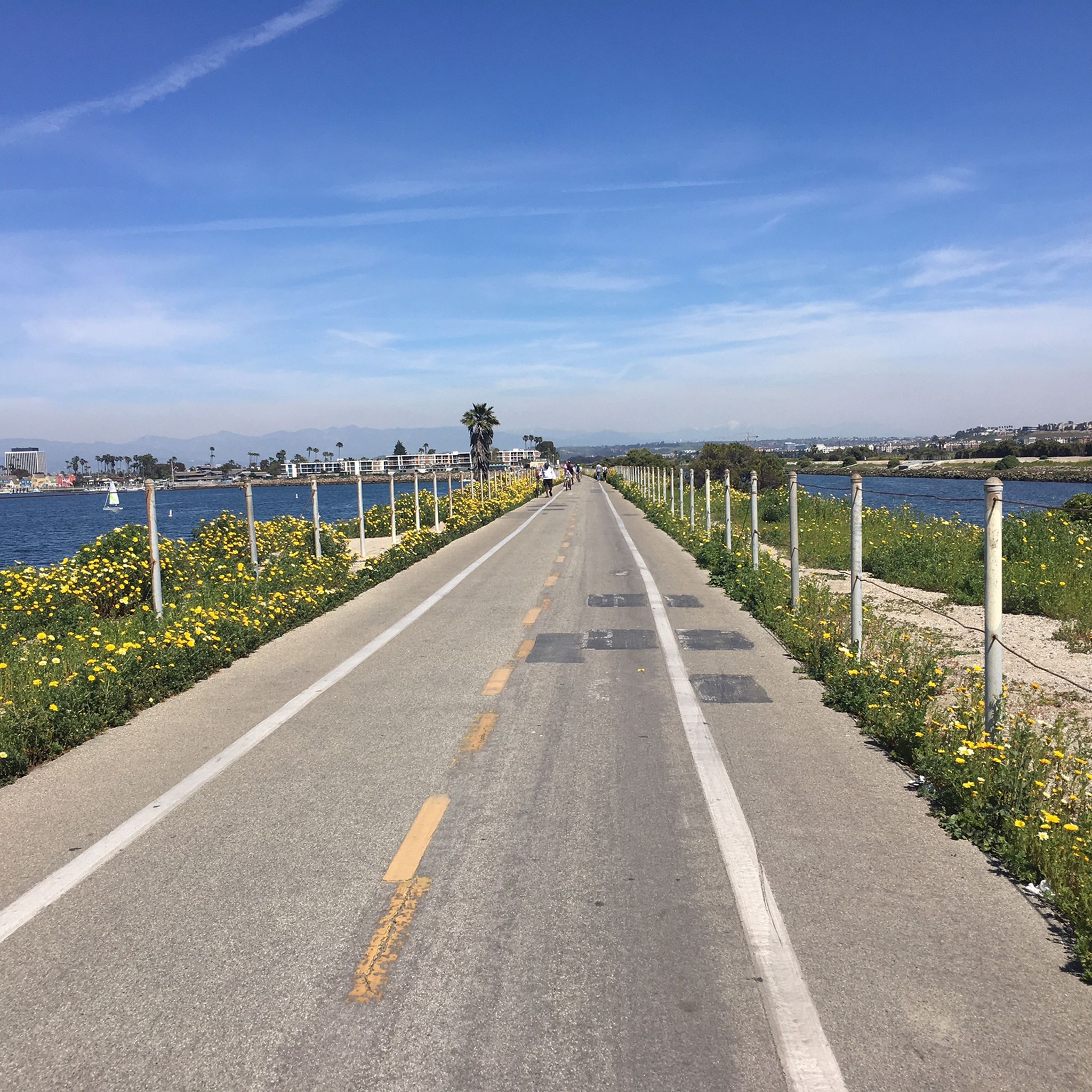
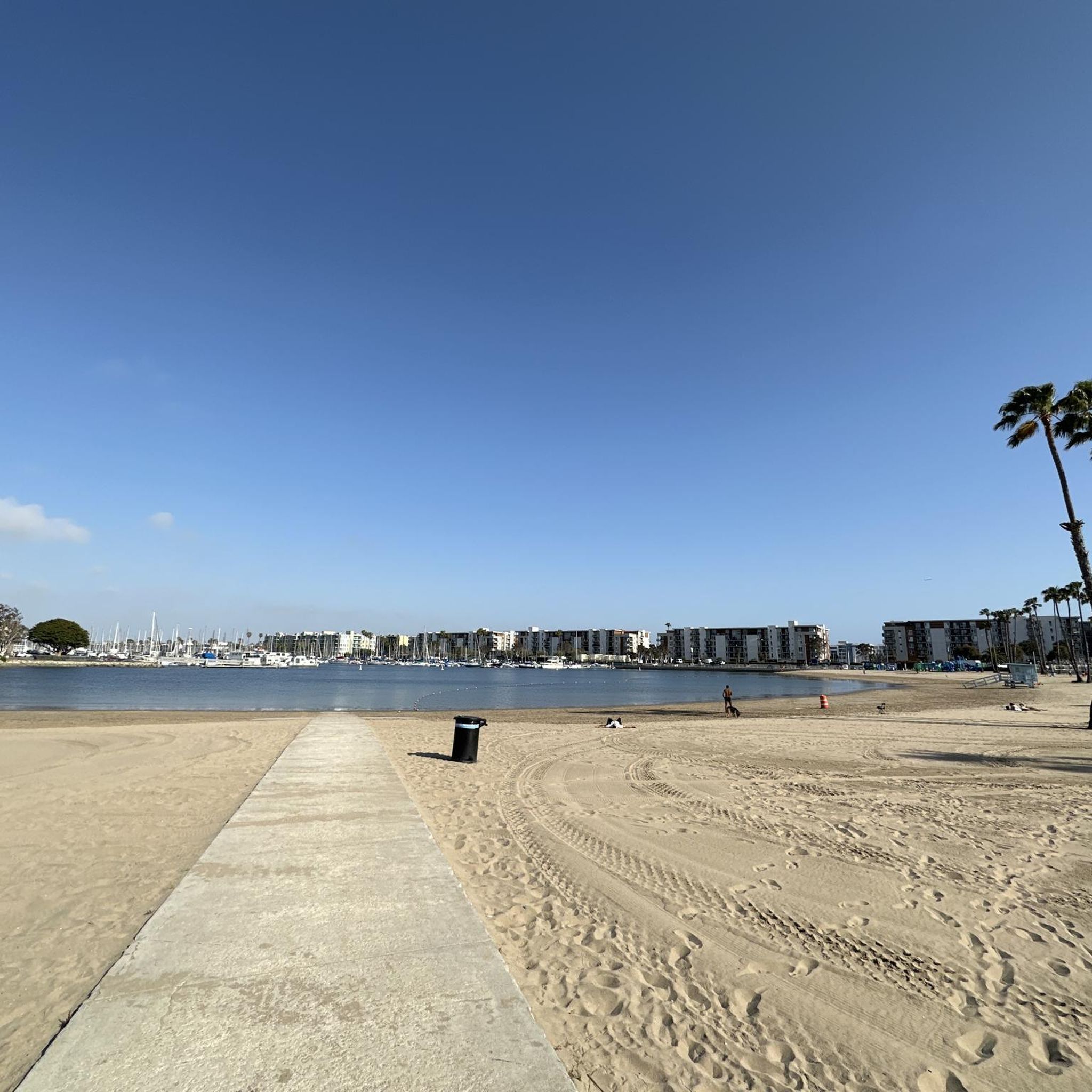
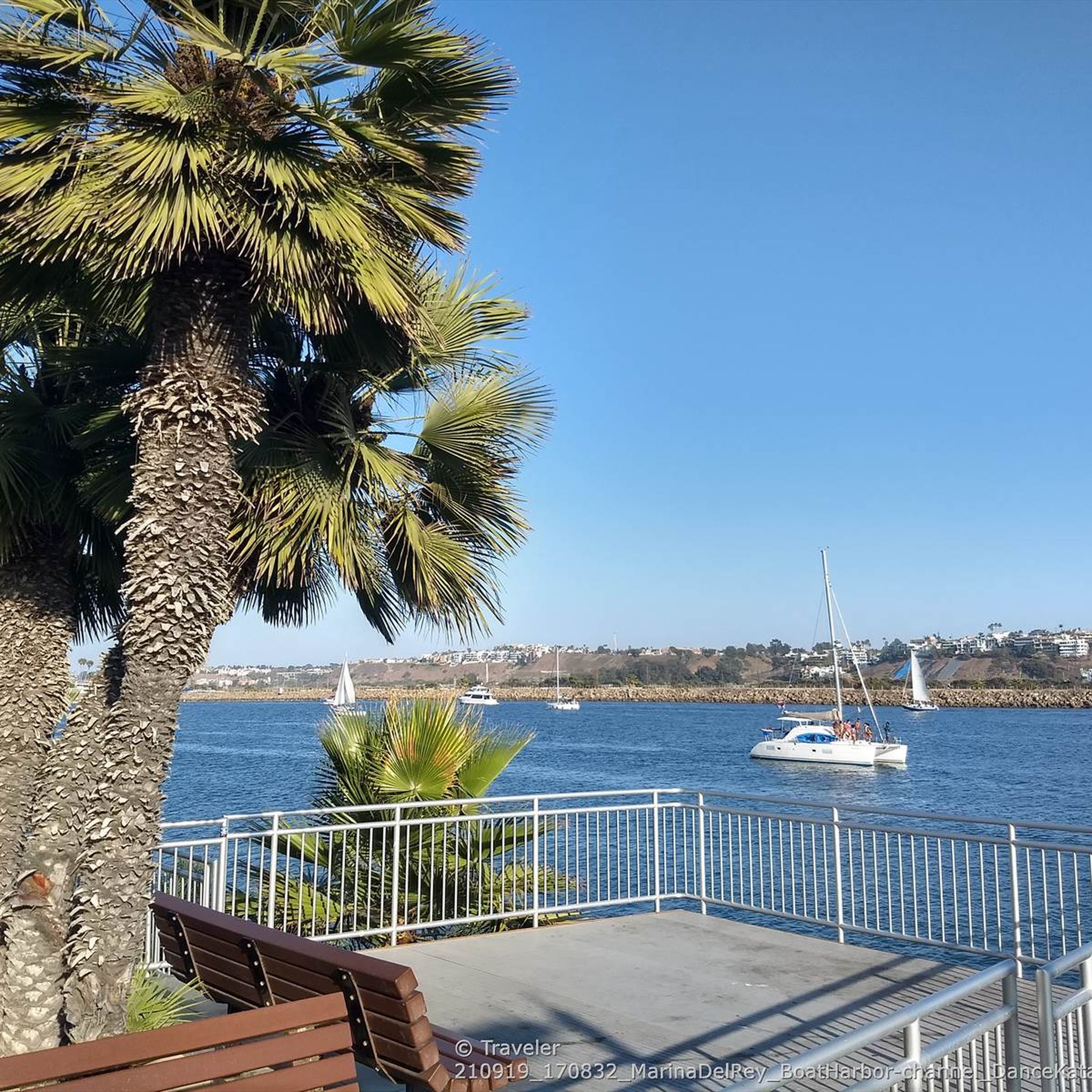
Road cycling around Marina Del Rey offers an extensive network of scenic bike paths along the coast and through urban landscapes. The region is characterized by its flat terrain, expansive marina, and direct access to sandy beaches and coastal trails. Cyclists can explore the waterfront, follow the Marvin Braude Coastal Bike Trail, and traverse paths alongside Ballona Creek. This area provides diverse routes suitable for various skill levels, from leisurely rides to more active adventures.
Best road cycling routes around…
Last updated: October 10, 2026
4.8
(12)
445
riders
88.6km
04:09
640m
650m
Moderate road ride. Good fitness required. Some segments of this route may be unpaved and difficult to ride.
4.7
(11)
406
riders
83.6km
04:02
810m
810m
Moderate road ride. Good fitness required. Some segments of this route may be unpaved and difficult to ride.

86
riders
31.5km
01:25
210m
210m
Easy road ride. Great for any fitness level. Mostly well-paved surfaces and easy to ride.
5.0
(1)
110
riders
Moderate road ride. Good fitness required. Mostly well-paved surfaces and easy to ride.
4.0
(2)
35
riders
Easy road ride. Great for any fitness level. Mostly well-paved surfaces and easy to ride.
Get access to more routes and recommendations from other explorers.
Already have an account?
Our route recommendations are based on thousands of hikes, rides, and runs completed by other people on komoot.
Start today with a free account
Your next adventure awaits.
Tips from the Community


Long stretch of car-free public beachfront, only accessible by an excellent bike/pedestrian boardwalk trail.
0
0

This is a great place to have a quick rest to take in the view over Santa Monica and its famouse pier.
0
0
Art deco architecture set in a park with fountains
3
0

The Ballona Creek Bike Path connects Syd Kronenthal Park with Venice Beach, following Ballona Creek the entire way. The path is partially shaded and well-connected, passing by the Ballona Wetlands Ecological Reserve and leading you to Marina del Rey.
0
0

This section of bike path and trail passes underneath the famous Santa Monica Pier. It can be a little dark and damp, so it's best to slow down through here. If you wish, you can climb the stairs (or take a longer detour by road) up to the famous wooden pier. The Santa Monica Pier is located at the end of Colorado Avenue in Santa Monica, California and marks the end of Route 66. It is a popular destination featuring a variety of attractions including the large solar-powered Ferris wheel, which is brightly lit and visible from afar at night. The pier offers many concession stands, shops, areas for fishing, and scenic views, making it great spot to stop as you ride around Los Angeles and Santa Monica.
1
0

very nice cycle path with very good connections
3
0
very nice CYCLE PATH always along the water
3
0
Frequently Asked Questions
How many road cycling routes are available around Marina Del Rey?
There are over 140 road cycling routes around Marina Del Rey, offering a wide variety of options for different skill levels. This includes more than 60 easy routes, 50 moderate routes, and 20 challenging routes.
Are there easy road cycling routes suitable for beginners or families in Marina Del Rey?
Yes, Marina Del Rey is well-suited for beginners and families due to its generally flat terrain and dedicated bike paths. Routes like The Venice Sign – Venice Pier loop from Venice (7.9 miles) or Dockweiler State Beach – Ocean view loop from Marina del Rey (11 miles) offer pleasant, accessible rides along the coast.
What are some scenic viewpoints or attractions I can visit while cycling in Marina Del Rey?
Many routes offer stunning coastal views and access to popular attractions. You can cycle past the iconic Santa Monica Pier, explore the lively Venice Boardwalk, or cruise through the charming Venice Canals. Fisherman's Village and Burton Chace Park in Marina del Rey also provide picturesque spots to take a break. The Marvin Braude Bike Trail itself is a major scenic highlight.
Can I find loop bike rides starting from Marina Del Rey?
Yes, Marina Del Rey offers several excellent loop options. The region's extensive network of paths, including the Marvin Braude Coastal Bike Trail and the Ballona Creek Bike Path, allows for various circular routes. For example, the Dockweiler State Beach – Ocean view loop from Marina del Rey is an easy 11-mile loop providing ocean views.
What is the Marvin Braude Coastal Bike Trail, and how long is it?
The Marvin Braude Coastal Bike Trail, often called 'The Strand,' is an iconic 22-mile paved path that runs along the coastline. It connects Marina del Rey to Santa Monica in the north and extends south through Playa del Rey to Torrance. It's a central feature for cyclists, offering continuous ocean breezes and picturesque views.
Where can I find parking for accessing bike paths like the Ballona Creek path?
Parking for accessing bike paths in Marina Del Rey, including the Ballona Creek path, can be found at various public lots and street parking areas throughout the marina and adjacent beach communities. Specific access points for the Ballona Creek Bike Path often have nearby parking, though availability can vary. It's advisable to check local parking regulations.
What makes Marina Del Rey a good destination for road cycling?
Marina Del Rey is an exceptional destination for road cycling due to its extensive network of scenic bike paths, diverse landscapes, and generally flat terrain. Cyclists can enjoy continuous ocean breezes along the coast, explore the expansive marina, and access attractions like Venice Beach and Santa Monica Pier directly from the paths. The area offers routes suitable for all skill levels.
Are there more challenging road cycling options near Marina Del Rey?
While Marina Del Rey itself is largely flat, more challenging road cycling options are available a short distance away. The Santa Monica Mountains National Recreation Area, for instance, offers routes with more significant climbs and equally stunning ocean views for those seeking a more vigorous ride. Within the immediate area, routes like Palos Verdes Classic Donut Loop (55 miles) offer longer distances and some elevation gain.
What is the best time of year to go road cycling in Marina Del Rey?
Marina Del Rey enjoys a mild climate year-round, making it suitable for cycling in most seasons. Spring and fall offer particularly pleasant temperatures and fewer crowds. Summer can be warm, but coastal breezes often provide relief. Winters are generally mild and sunny, though occasional rain showers can occur.
Where can I find bike-friendly places to stop for a break or food?
Marina Del Rey and its surrounding areas, including Venice and Playa del Rey, are very bike-friendly. You'll find numerous cafes, restaurants, and shops easily accessible from the bike paths. Fisherman's Village in Marina del Rey is a popular spot with dining options, and Abbot Kinney Boulevard in Venice is known for its chic boutiques and gourmet coffee shops.
Are there less crowded bike paths available in the area?
While popular coastal paths can get busy, especially on weekends, heading south towards Playa del Rey often offers a quieter ride. The Ballona Creek Bike Path can also provide a different, less crowded experience, blending urban exploration with wetland views. Early mornings or weekdays are generally less crowded on all paths.
What do other cyclists say about road cycling in Marina Del Rey?
The road cycling routes around Marina Del Rey are highly rated by the komoot community, with an average score of 4.6 stars from over 130 reviews. Cyclists often praise the continuous ocean breezes, the well-maintained coastal paths, and the diverse scenery ranging from marina views to sandy beaches and urban attractions.
Are there any specific resources for biking in Marina Del Rey?
Yes, for additional information on cycling in the area, you can explore resources like the Los Angeles County Beaches and Harbors website for details on Marina del Rey biking at beaches.lacounty.gov. Another useful resource for local spots to explore by bike from Marina del Rey is available at visitmdr.com.
Most popular routes around Marina Del Rey
Most popular attractions around Marina Del Rey

Get inspired with the komoot mobile app


Explore more
Browse the best Road cycling routes in other regions.
