The best road cycling routes around Las Flores
4.6
(68)
1,638
riders
82
rides
Road cycling routes around Las Flores are characterized by a diverse landscape that includes coastal areas, creek trails, and bikeways. The region features a mix of flat sections along waterways and gentle climbs through canyons and near lakes. Road cyclists can explore routes that traverse developed bikeways and natural creek environments.
Best road cycling routes around Las Flores
- The most popular road cycling route is Aliso Creek Bikeway, a 20.3 miles (32.6 km) trail that takes 1 hour 37…
Last updated: July 22, 2026
5.0
(2)
18
riders
38.5km
01:52
530m
540m
Moderate road ride. Good fitness required. Mostly well-paved surfaces and easy to ride.
5.0
(1)
82
riders
46.7km
02:20
390m
390m
Moderate road ride. Good fitness required. Mostly well-paved surfaces and easy to ride.

Sign up for free
19
riders
83.1km
03:43
670m
670m
Moderate road ride. Good fitness required. Mostly well-paved surfaces and easy to ride.
15
riders
48.0km
02:17
580m
580m
Moderate road ride. Good fitness required. Some segments of this route may be unpaved and difficult to ride.
13
riders
23.5km
01:13
370m
370m
Moderate road ride. Good fitness required. Mostly well-paved surfaces and easy to ride.
Get access to more routes and recommendations from other explorers.
Sign up for free
Already have an account?
Our route recommendations are based on thousands of hikes, rides, and runs completed by other people on komoot.
Start today with a free account
Your next adventure awaits.
Login or Signup
Tips from the Community

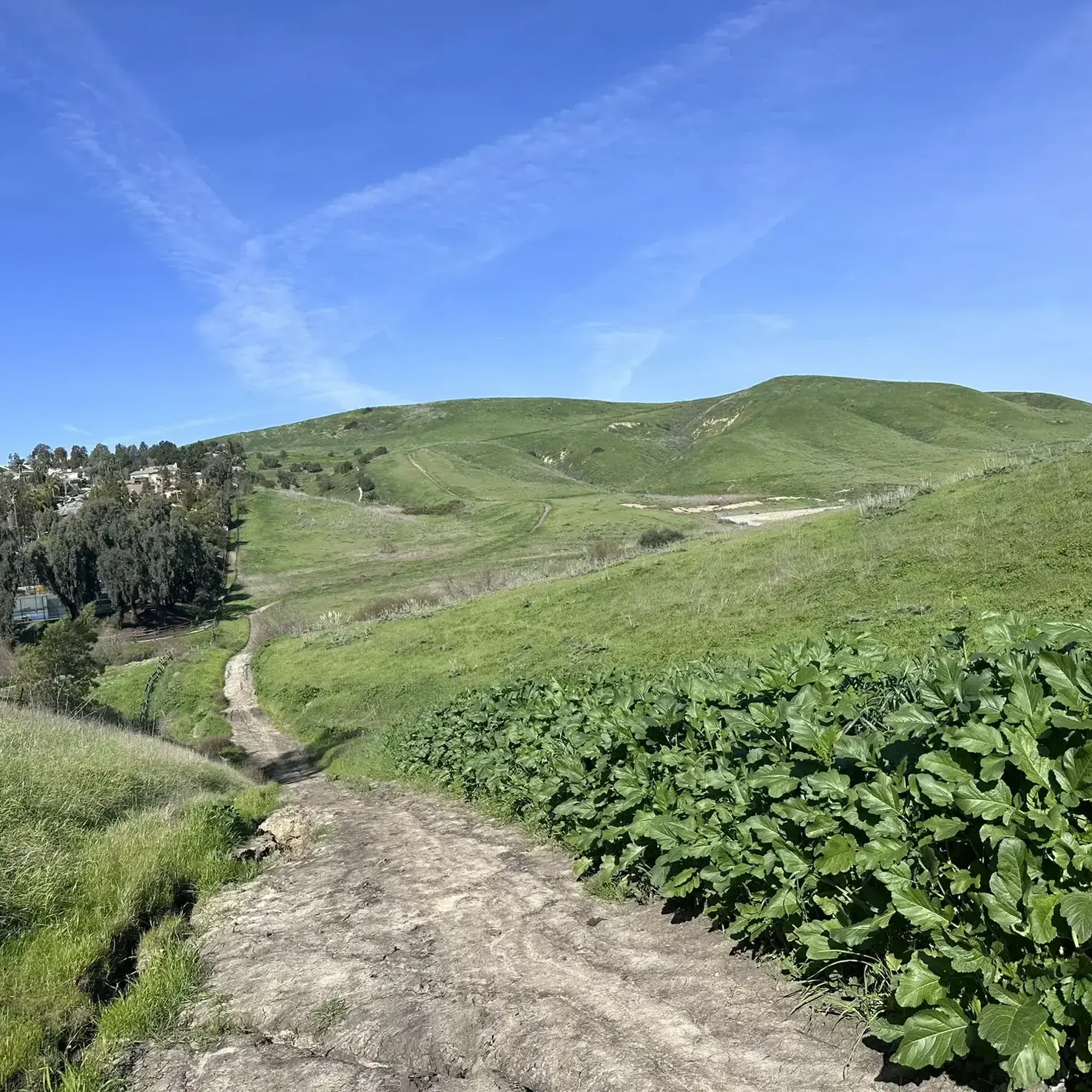
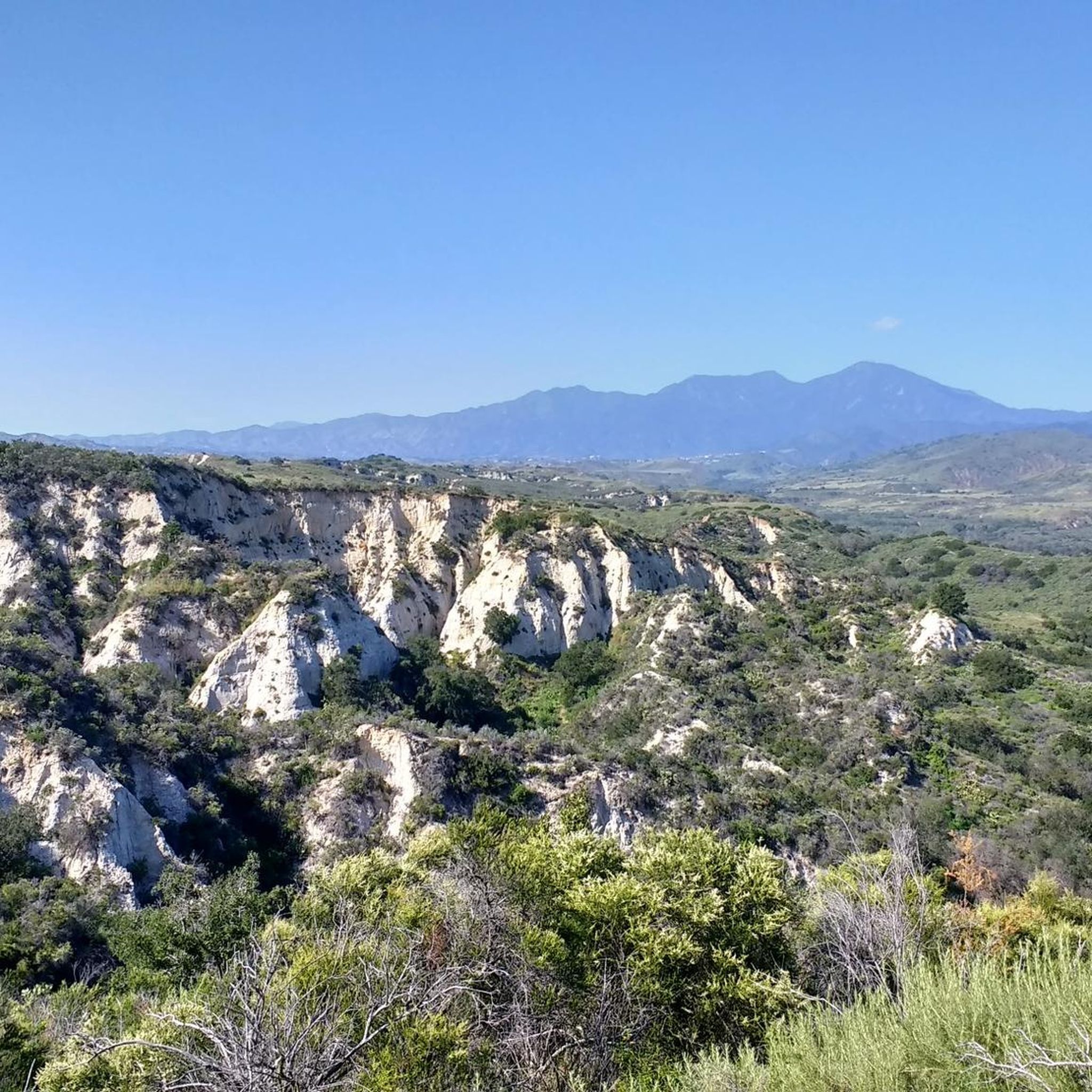
You can explore a variety of singletrack and wide gravel paths through the park. Some trails are shaded while others take you out above the canyon with vistas of Orange County. There are restrooms, picnic tables, and camping available. The park charges a $3 fee.
0
0
The trail here is paved and designed specifically for foot traffic and bikes with two separate cycling lanes. You get great views across Newport Bay to the ecological reserve as you pass by a couple small parks and vista points.
0
0

From this spot, you get a nice view over the Upper Newport Bay Ecological Reserve. It is one of Southern California's largest remaining coastal wetlands. This estuary comprises diverse habitats, including salt marshes, mudflats, and riparian zones, providing critical environments for numerous plant and animal species. The reserve is also a vital stopover for migratory birds along the Pacific Flyway, with up to 35,000 birds present during winter migration. It supports nearly 200 bird species, including endangered ones like the Light-footed Clapper Rail and California Least Tern.
0
0

❗The northern segment of the Back Bay Loop Trail, specifically the Bay View Trail including the pedestrian bridge, is closed for repairs from December 9 to December 27, 2024. This closure is in effect daily, including weekends. A detour along Mesa Drive is available for trail users to reconnect with the trail.
0
0


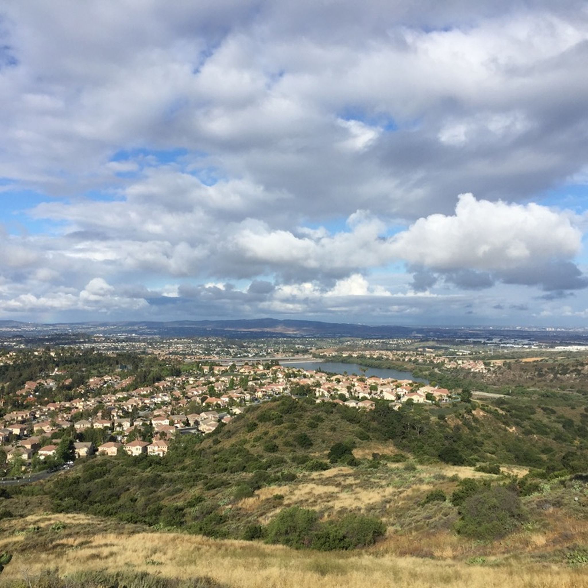
Overlooking picturesque Dana Point Harbor, Lantern Bay Park offers expansive green space with plenty of pine trees for shade, perfect for a relaxing outdoor escape. With amenities including a playground, bocce ball court, and public restrooms, the sprawling park also hosts a donation-based morning yoga class, daily at 10am.
0
0
The Trabuco Creek Trail converges with the San Juan Creek Trail at Descanso Park and crosses to the west side of the river via a bridge. All of the creek trails are two lane paved paths.
0
0
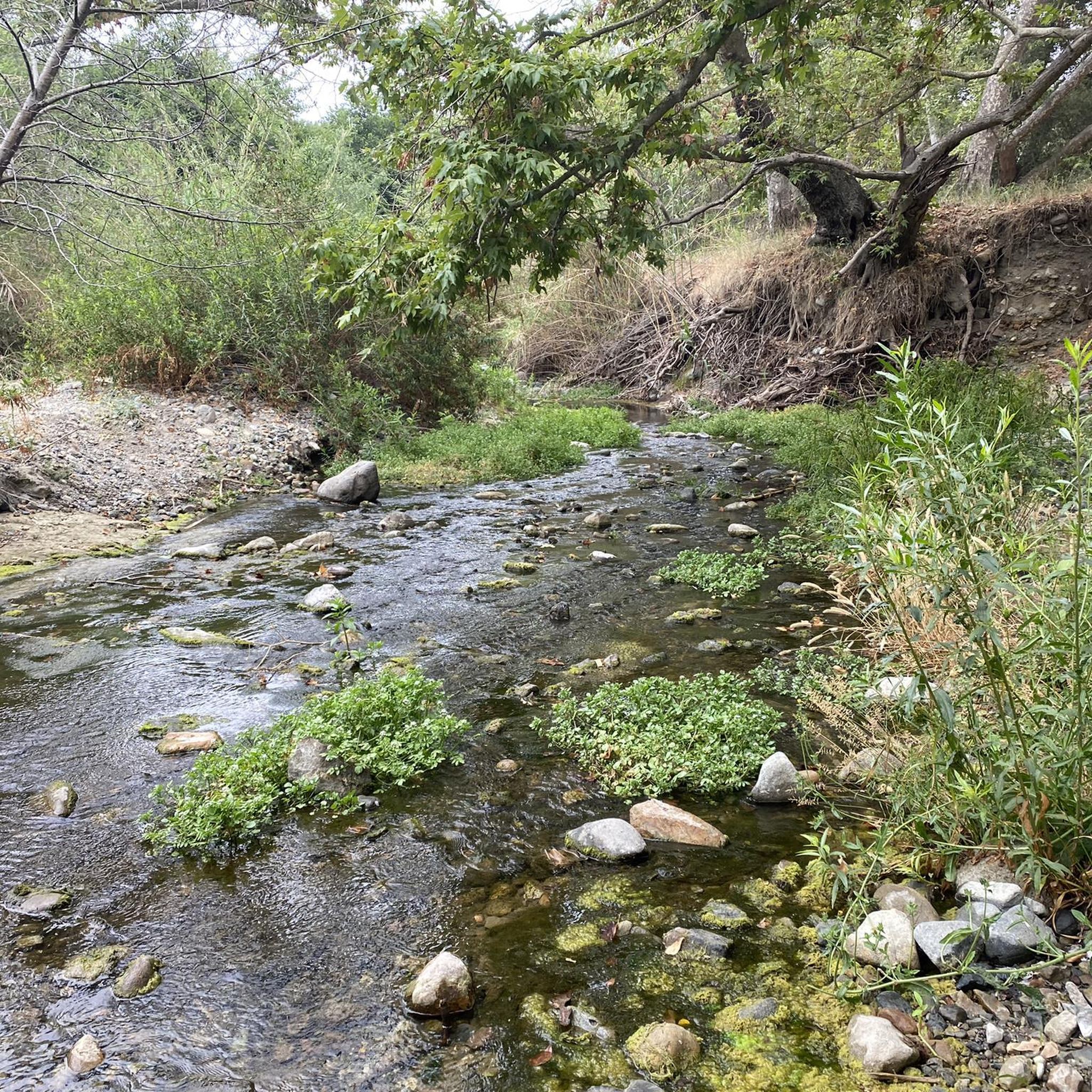
There is a good network of wide gravel and packed dirt trails that run along Trabuco Creek west of Ladera Ranch. There are many places where you can cross the creek to access the trails in the arroyos on the other side.
0
0
Frequently Asked Questions
How many road cycling routes are available around Las Flores?
There are over 70 road cycling routes available around Las Flores, offering a diverse range of experiences for cyclists of all levels.
Are there easy road cycling routes suitable for beginners in Las Flores?
Yes, Las Flores offers several easy road cycling routes perfect for beginners. There are 11 routes specifically categorized as easy, providing gentle terrain to get started.
Where can I find challenging road bike trails in Las Flores?
For those seeking a challenge, Las Flores has 8 difficult road cycling routes. These trails typically feature more significant elevation gains and longer distances. An example of a moderate route with notable elevation is the Aliso Creek Bikeway – Hicks Canyon Trail loop from Rancho Santa Margarita, which includes over 700 meters of ascent.
Are there loop road bike trails in Las Flores?
Yes, many road cycling routes in Las Flores are designed as loops. For instance, the Aliso Creek Bikeway – Hicks Canyon Trail loop from Rancho Santa Margarita is a popular 61.3 km loop that takes you through bikeway and canyon environments.
What kind of elevation gain can I expect on road bike trails in Las Flores?
Elevation gains on road bike trails in Las Flores vary. Moderate routes like the San Juan Creek Trail and Coastal Loop can have around 530 meters of ascent, while longer loops such as the Aliso Creek Bikeway – Hicks Canyon Trail loop from Rancho Santa Margarita can feature over 700 meters of climbing.
Are there road cycling routes with coastal views or along waterways?
Absolutely. Las Flores is known for its diverse landscape, including coastal areas and creek trails. The San Juan Creek Trail and Coastal Loop combines a creek trail with scenic coastal views, and the Aliso Creek Bikeway follows a dedicated path alongside Aliso Creek.
What can I see along the road cycling routes in Las Flores?
Many routes offer access to interesting sights. You might pass by natural areas like O'Neill Regional Park or historical sites such as Mission San Juan Capistrano. The Aliso Creek Trail and San Juan Trail are also prominent features along many cycling paths.
Are there any places to stop for refreshments or cafes along the road bike trails?
While specific cafes directly on every trail are not guaranteed, routes often pass near towns or points of interest where refreshments can be found. For example, Cook's Corner is a well-known local spot that cyclists might encounter or detour to.
What do other road cyclists enjoy the most about road cycling in Las Flores?
The road cycling experience in Las Flores is highly rated by the komoot community, with an average score of 4.8 stars from over 70 reviews. Reviewers often praise the diverse landscape, which includes dedicated bikeways, scenic creek trails, and coastal paths, offering a mix of flat sections and gentle climbs.
Are there less crowded road bike trails near Las Flores?
While popular routes like the Aliso Creek Bikeway can see good traffic, exploring some of the less-trafficked sections or routes further inland, away from the immediate coast, might offer a quieter experience. Checking komoot's route planner for routes with fewer recorded completions can also help identify potentially less crowded options.
What are the typical distances for road cycling routes in Las Flores?
Road cycling routes in Las Flores vary significantly in length. You can find shorter rides, but many popular routes range from 20 to over 60 kilometers. For example, the Aliso Creek Bikeway is about 32.6 km, while the Doheny State Beach – North Beach loop from Las Flores extends to 66.4 km.
Is there parking available for road biking in Las Flores?
Parking availability varies depending on the specific starting point of your chosen route. Many trailheads or nearby parks offer parking facilities. It's advisable to check the route details on komoot for specific parking information related to your planned ride.
Most popular attractions around Las Flores

Get inspired with the komoot mobile app


Explore more
Browse the best Road cycling routes in other regions.
