The best walks and hikes around Ladera Heights
4.6
(109)
4,459
hikers
123
hikes
If you've ever tried planning a hike around Ladera Heights, you know how quickly the options can become overwhelming. With so many trails and green spaces, it's tough to figure out which routes are genuinely worth your time and effort, and which are just filler. We get it, and we're here to cut through the noise. Our komoot community has explored, mapped, and reviewed countless routes here, so we've done the legwork to bring you a curated shortlist of the…
Last updated: May 10, 2026
14.5km
03:40
20m
40m
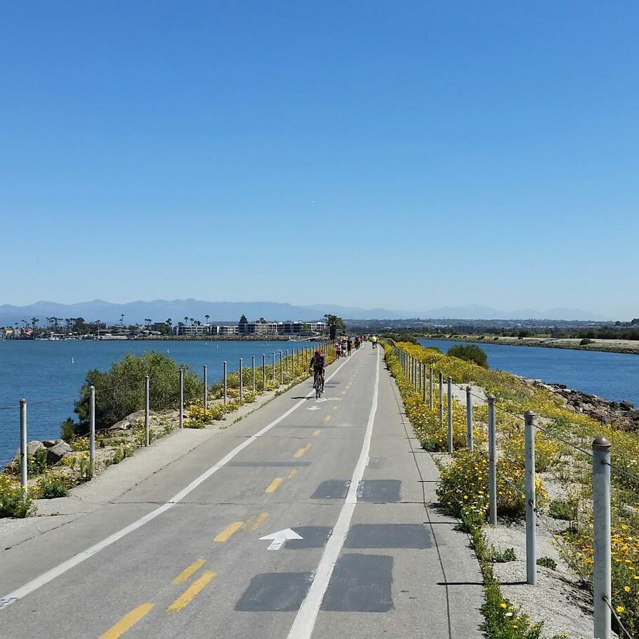
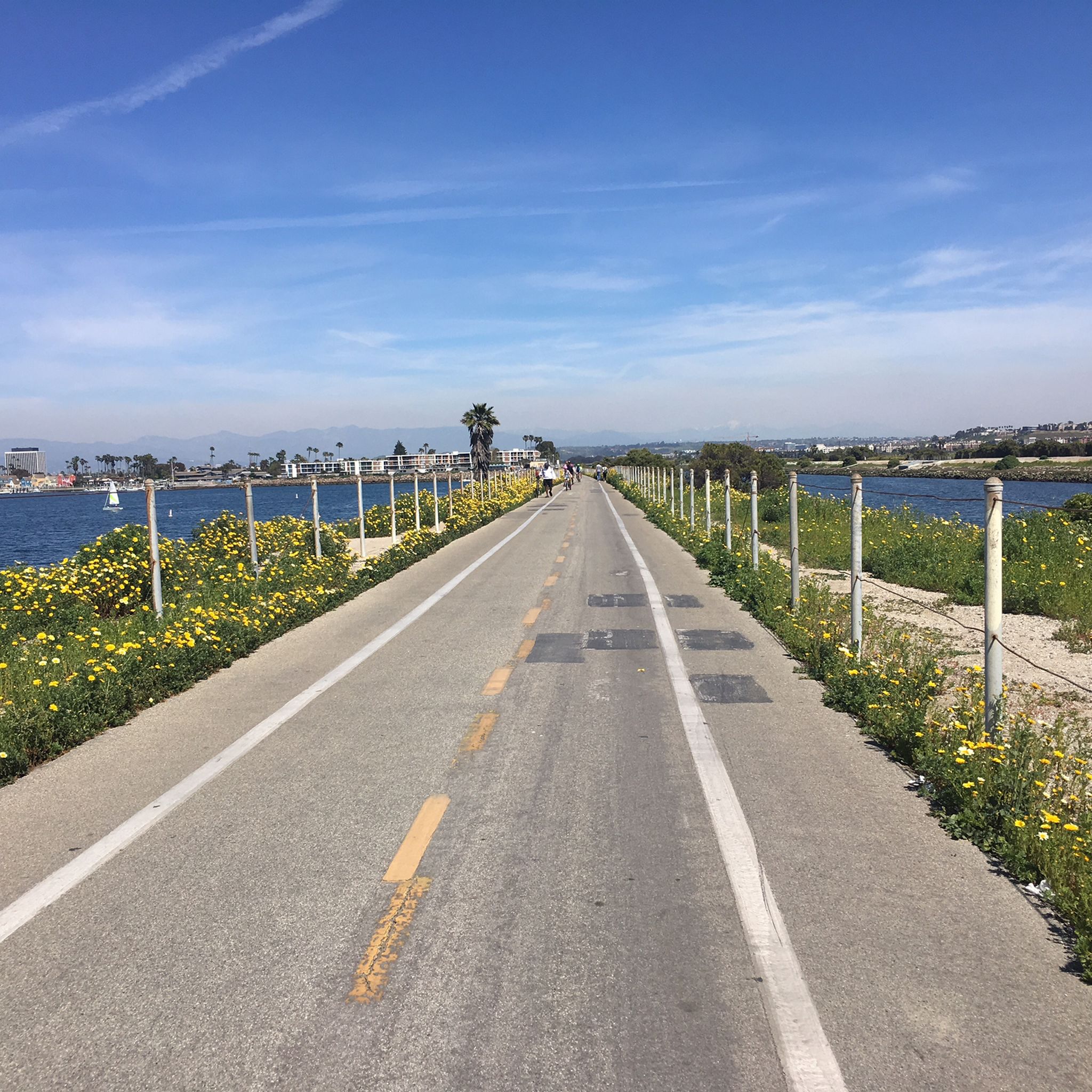
The Ballona Creek Bike Path offers a unique journey from urban landscapes to coastal wetlands, providing a moderate 9.0-mile (14.5 km) hike with only 73 feet (22 metres) of elevation…
2.41km
00:39
10m
70m
The Stocker Corridor Trail offers a unique urban hiking experience, winding through a narrow stretch of greenspace with varied terrain from dirt to surfaced paths. As you walk, you'll be…

Sign up for free
10.7km
02:58
210m
150m
City Hike LA offers a unique blend of urban and natural landscapes, making it one of the best urban hikes Los Angeles has to offer. This moderate 6.7-mile (10.7 km)…
688m
00:11
0m
0m
The Moore Lake Loop offers a surprisingly serene escape within the urban sprawl of Los Angeles. This easy 0.4-mile (0.7 km) path winds gently around the lake, providing a peaceful…
103
hikers
2.93km
00:54
90m
90m
The Hillside Trail offers a delightful journey through the Chugach foothills, providing a taste of Alaska's wild beauty without venturing too far from the city. You'll traverse varied terrain, from…
Get access to more routes and recommendations from other explorers.
Sign up for free
Already have an account?
Our route recommendations are based on thousands of hikes, rides, and runs completed by other people on komoot.
Start today with a free account
Your next adventure awaits.
Login or Signup
Tips from the Community

Has some bumps here and there nothing too crazy, fun ride
0
0

This small park spans a lovely 6.6 acres with well-maintained paths ideal for walking and running. There is ample parking, a picnic area, a drinking fountain and restrooms. It is a hub for local sporting events, and its central location makes it an ideal spot to take a break during a hike or a ride.
0
0

Pedestrian-friendly car-free downtown area framed by the tall Culver Hotel, fountain, the film studios, and several artsy pieces of modern architecture around the Culver steps and restaurant at the central square
0
0
North end of one of the oldest movie studios in Culver City, with a large colonial building and a lush grass front lawn essentially facing the central square of Culver City downtown.
0
0
Long mural at the access ramp to Ballona creek bike trail
0
0
Operating today as a live theatre, the Culver Theatre began its life in 1947 as a 1,160-seat venue showing movies. The Streamline Moderne structure with its distinctive name sign tower was built and operated by Fox West Coast Theatres. Theatre designer George Skouras gets credit for the decorative, richly-stylized, floral-like swirls and embellishments which once framed the auditorium’s proscenium, extended along the theatre’s walls, moved out into the lobby, and enveloped the concessions stand. His outdoor embellishments remain, however, adorning the box office, the marquee, and the 4-sided name tower. The entry’s terrazzo floral motif paving complements Skouras’ theme. By the 1970s, the single-screen theatre had become a triplex – a relatively easy remodel given the theatre’s open, stadium-style seating (no overhanging balcony). The Northridge quake of 1994, however, forced the closure of the venue. But in 2004, following a two-year metamorphosis from motion picture house to live theatre, the Culver was re-configured and renamed. Thanks to the generosity of Anne and Kirk Douglas, as well as a grant from the Culver City Redevelopment Agency, the Kirk Douglas Theatre now features a 317-seat auditorium and multi-purpose rehearsal and event space. While the interior long ago lost its 1947-era touches, the theatre’s eye-catching exterior looks much as it did over 70 years ago. Today, the “Douglas” is part of Center Theatre Group (CTG), rubbing shoulders with The Ahmanson and The Mark Taper Forum. As Center Theatre Group describes it, the Kirk Douglas Theatre “…is our home for adventurous new work. It’s where we do the most world premieres, play with conventions, and take risks.” https://www.centertheatregroup.org/visit/kirk-douglas-theatre/
0
0

You can also reach Baldwin Hills via Wrightcrest Drive
3
0
The quiet Hetzler Road takes you directly to Baldwin Hills with a great view of the surrounding city
3
0
Frequently Asked Questions
Are dogs allowed on the hiking trails in Ladera Heights?
Yes, dogs are generally welcome in the area's parks, but rules vary. In Kenneth Hahn State Recreation Area, dogs must be on a leash no longer than six feet at all times. The Baldwin Hills Scenic Overlook also requires dogs to be leashed. Always bring water for your pet and be prepared to clean up after them.
What are the best trails for a family with kids?
For a family-friendly outing, the Kenneth Hahn State Recreational Area loop is an excellent choice. This easy 3.1-mile (5.0 km) path is relatively flat and winds through the park's landscaped areas, passing a fishing lake and playgrounds, offering plenty to see and do for younger hikers.
Where can I find a challenging hike near Ladera Heights?
For a more strenuous workout, head to the Baldwin Hills via the Culver City Stairs. This route involves a very steep and direct climb up a long staircase, rewarding you with fantastic 360-degree views from the top. It's a popular spot for those looking to test their fitness.
Are there any hiking trails with waterfalls?
Yes, you can find a waterfall within Kenneth Hahn State Recreation Area. The Vistas, waterfall, lake & memorial hike is a 3.0-mile (4.8 km) trail that specifically includes the park's waterfall feature, along with its lake and scenic viewpoints.
What are some good options for a short, easy walk?
If you're looking for a shorter, less demanding walk, the Baldwin Hills – Kenneth Hahn Recreation Area trail is a great option. At just over 2 miles (3.8 km), it offers a pleasant stroll through the parklands connecting these two popular green spaces.
How do I get to the trails using public transport?
Several bus lines service the areas around Kenneth Hahn State Recreation Area and the Baldwin Hills Scenic Overlook. It's best to use a trip planner app and search for routes to these specific parks, as bus schedules and routes can change. The main entrances are located along major thoroughfares like La Cienega Boulevard, which are typically well-served by public transit.
Is there parking available at the main trailheads?
Yes, both major hiking areas have parking. Kenneth Hahn State Recreation Area has multiple paid parking lots throughout the park. The Baldwin Hills Scenic Overlook also has a paid parking lot at the top of the hill, accessible via Hetzler Road. Free street parking can sometimes be found nearby, but it is often limited, especially on weekends.
Which park is better for hiking: Kenneth Hahn or Baldwin Hills Scenic Overlook?
It depends on what you're looking for. Kenneth Hahn State Recreation Area is a large, sprawling park with over seven miles of varied, gentler trails, landscaped areas, a lake, and picnic spots, making it ideal for longer, more relaxed walks. Baldwin Hills Scenic Overlook is focused on a single, steep climb to a peak with exceptional panoramic views, perfect for a quick, intense workout.
What are the best viewpoints for seeing the Los Angeles skyline?
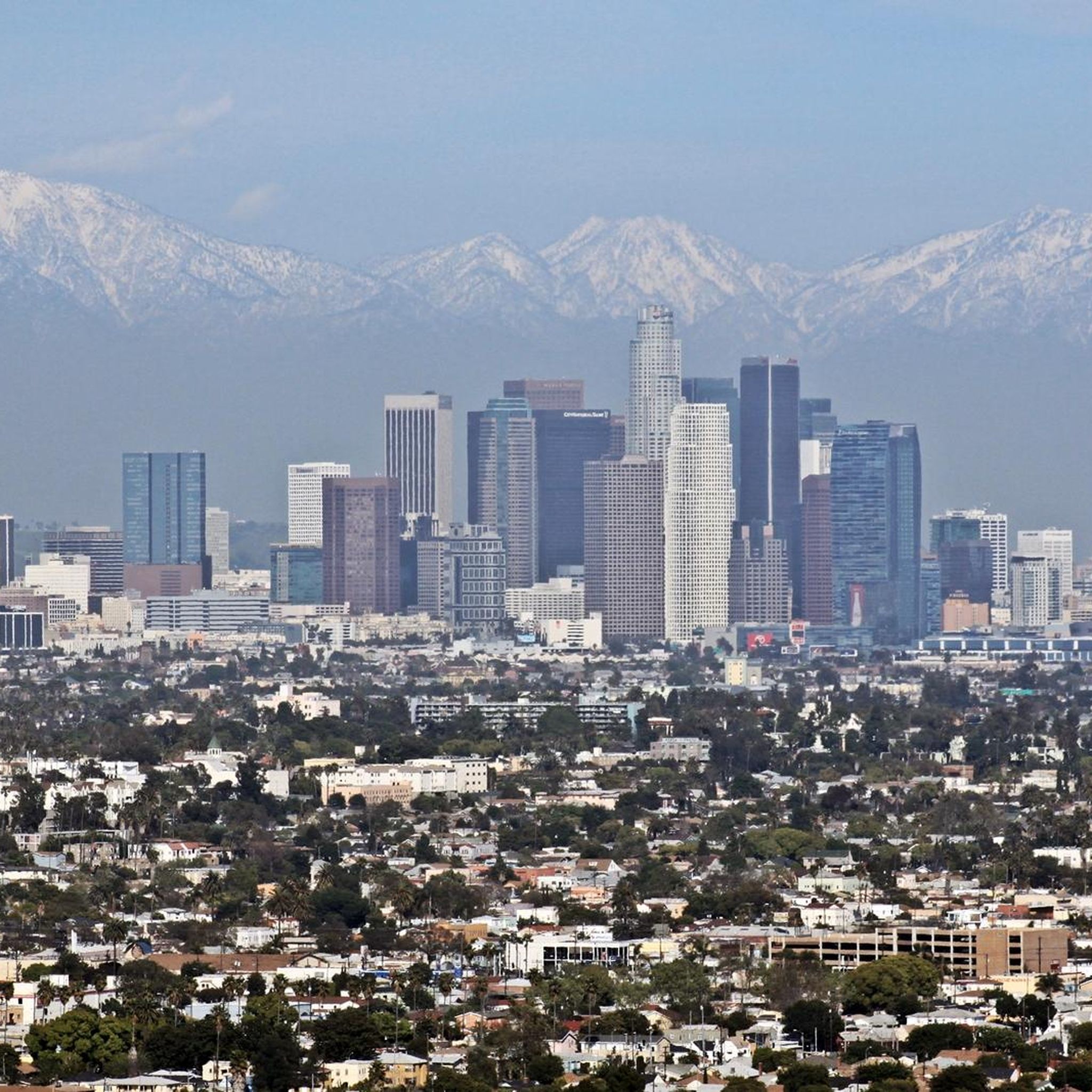
The summit of the Baldwin Hills Scenic Overlook is renowned for its unobstructed 360-degree views, offering one of the best perspectives of the entire LA basin, from the downtown skyline to the Pacific Ocean. The ridge-top trails within Kenneth Hahn State Recreation Area also provide excellent, though less elevated, viewpoints of the city.
How many hiking trails are in the Ladera Heights area?
There are over 100 hiking routes to explore around Ladera Heights. The majority are rated as easy, making the area very accessible, but there are also dozens of moderately challenging trails for those seeking more of a workout. This variety ensures options for all fitness levels.
What do other hikers say about the trails around Ladera Heights?
The trails are highly regarded by the komoot community, with an average rating of 4.6 stars. Hikers frequently praise the stunning panoramic city views from the hilltops and the convenience of having such large green spaces, like Kenneth Hahn Park, right in the city.
Are the hiking trails safe to use?
The trails are located in well-maintained public parks and are generally safe. However, as with any urban park, it's wise to stay aware of your surroundings. Stay on marked paths to avoid unstable terrain, and be mindful of mountain bikers or runners who share the trails. It's always recommended to hike with a companion and carry a phone.
Most popular routes around Ladera Heights
Most popular attractions around Ladera Heights

Get inspired with the komoot mobile app


Explore more
Browse the best Hikes in other regions.
