The best road cycling routes around La Crescenta-Montrose
5.0
(67)
1,713
riders
38
rides
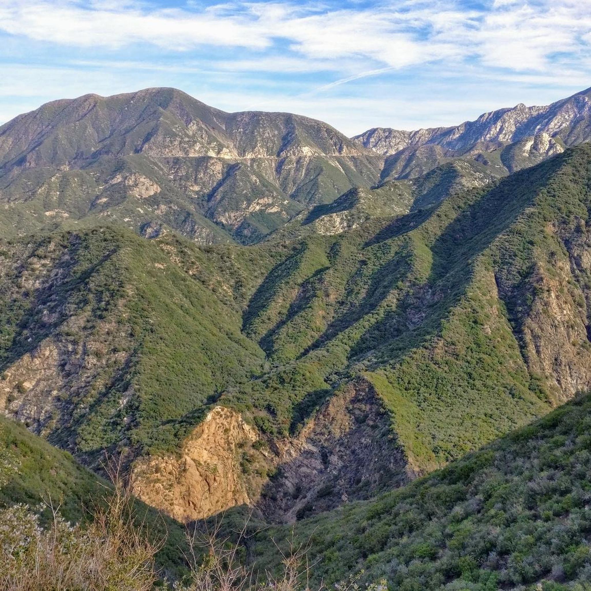
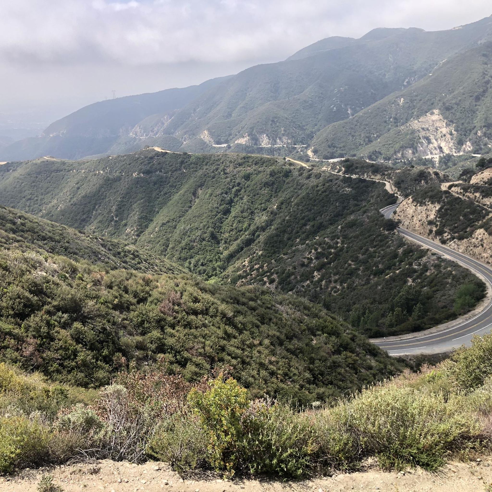
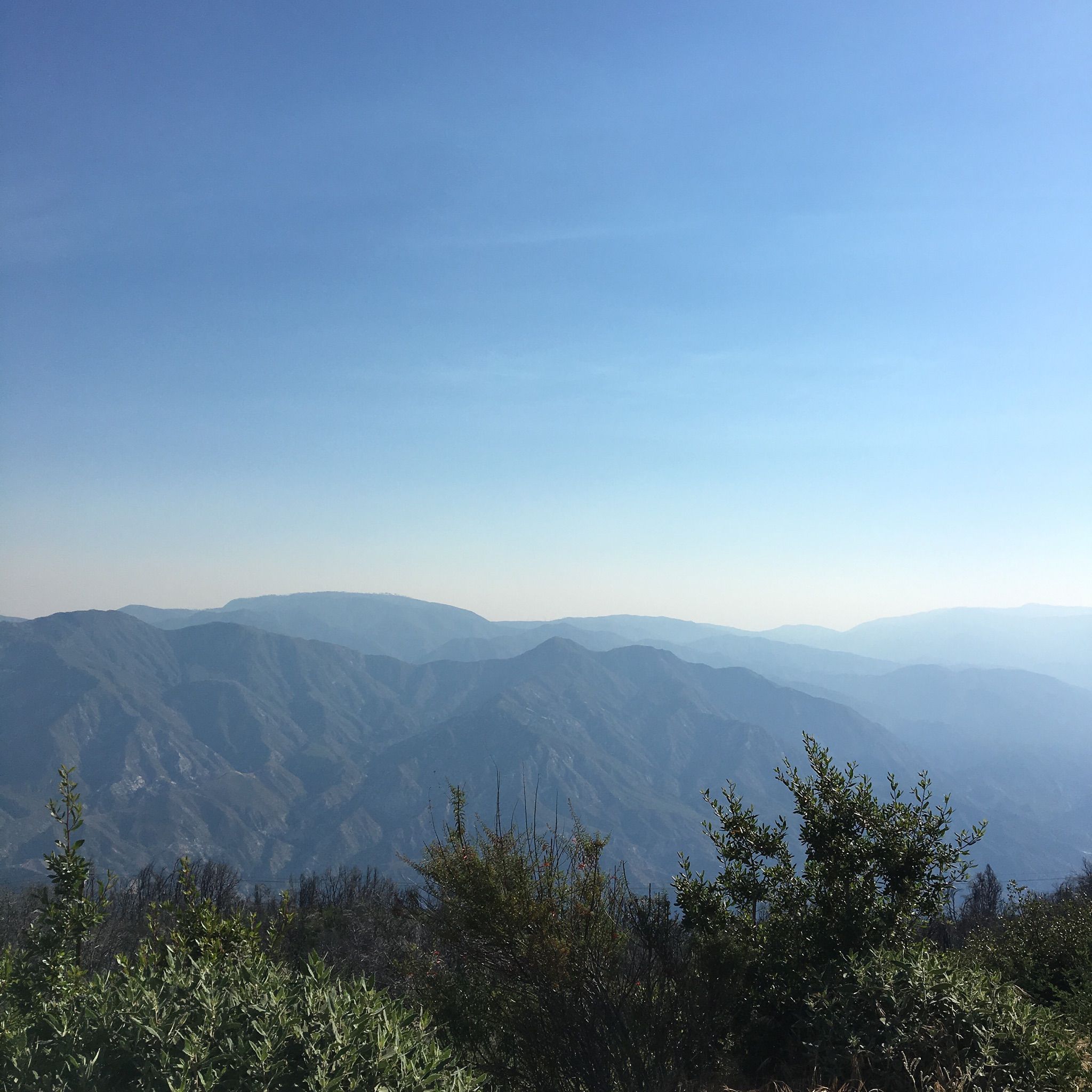
Road cycling around La Crescenta-Montrose features varied terrain, including the foothills of the Verdugo Mountains and proximity to the San Gabriel Mountains and Angeles National Forest. The region offers undulating roads with considerable elevation changes, providing both ascents and descents. Paved surfaces connect suburban landscapes with natural areas, offering diverse settings for road cyclists. From various points, cyclists can experience panoramic views of the Los Angeles basin and surrounding mountain ranges.
Best road cycling routes around La Crescenta-Montrose
- The most…
Last updated: August 16, 2026
4.9
(13)
230
riders
36.1km
01:55
530m
530m
Moderate road ride. Good fitness required. Mostly well-paved surfaces and easy to ride.
35
riders
Moderate road ride. Good fitness required. Some segments of this route may be unpaved and difficult to ride.

Sign up for free
62
riders
52.4km
02:57
1,160m
1,160m
Hard road ride. Very good fitness required. Some segments of this route may be unpaved and difficult to ride.
31
riders
30.9km
01:57
820m
820m
Moderate road ride. Good fitness required. Mostly well-paved surfaces and easy to ride.
19
riders
38.0km
01:51
380m
380m
Moderate road ride. Good fitness required. Mostly well-paved surfaces and easy to ride.
Get access to more routes and recommendations from other explorers.
Sign up for free
Already have an account?
Our route recommendations are based on thousands of hikes, rides, and runs completed by other people on komoot.
Start today with a free account
Your next adventure awaits.
Login or Signup
Tips from the Community

This trail currently runs about 38 miles in several disconnected segments; there are plans to eventually unify it in a continuous, 50-mile swath. There are stretches of dirt mixed in with the paved trail, so you're best off with a touring bike instead of a road bike.
0
0

The Club House is a vibrant bike shop offering bike sales and service, apparel, gear, and cacti. What began with a red VW bus and online sales in 2017 transitioned to an old service station turned plant store. A small, fun-loving team runs the shop, sharing their love of cycling. Stop by for events like the annual Bike & Car Show, a lazy Sunday ride, the Wednesday night Basket Ride, or just to grab coffee at their mobile espresso bar.
1
0
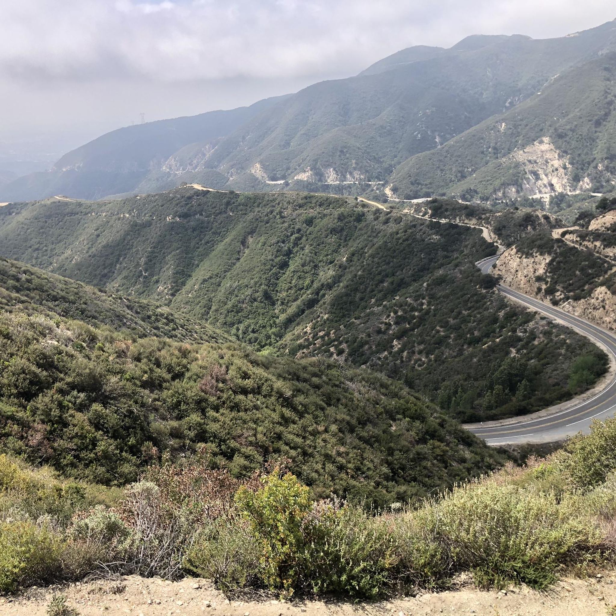
A quick pull-off from the Angeles Crest Highway gives way to Millard Falls Trailhead and LA Overlook, with great views of downtown and the forests in the gateway to Angeles National Forest.
0
0
Visit the Big Tujunga Dam Overlook for awesome views of the Big Tujunga River and the concrete arch dam. Built in 1931, the dam features a reservoir about 89 square acres in size. The dam is key for flood protection and water conservation.
1
0

Built in 1912 this historic bridge plays an important part in the growth of the city. For a short time in the 1930's and 40s it was part of the iconic "Route 66" that stretched from Santa Monica to Chicago. Aside from a short closure and refurbishment after the 1989 Loma Prieta earthquake, the bridge has been in operation for well over a century.
1
0
The Baum Bicycle Bridge is named in honor of Alex Baum, who was a tireless advocate for cycling infrastructure around Los Angeles. LA cyclists owe him a debt of gratitude for much of the gains that have been made in the city.
1
0
Brookside Park is Pasadena's largest fully maintained park at 61.1 acres. It sits south of Rose Bowl Stadium with tons of parking off Arroyo Boulevard. The park features a lighted baseball diamond, two softball diamonds, and a large, lighted, multi-purpose field for soccer and flag football. There is also a speaker's platform with permanent seating, numerous picnic tables, barbecue pits, a play area, restrooms, and drinking fountains.
0
0
Built in 1920, Devil's Gate Dam is the oldest dam constructed by the Los Angeles County Flood Control District, designed to protect Pasadena, South Pasadena, and Los Angeles from floods. The dam was named after a rock formation resembling a devil’s face and gained popularity in the 1940s when occultists performed rituals there. Today, Devil's Gate Dam attracts hikers, paranormal investigators, and TV crews checking out its haunted reputation.
0
0
Frequently Asked Questions
How many road cycling routes are available in La Crescenta-Montrose?
La Crescenta-Montrose offers a wide selection of road cycling routes, with over 55 different tours available. These range from easier rides to more challenging options, catering to various skill levels.
Are there easy road cycling routes for beginners in La Crescenta-Montrose?
Yes, beginners can find suitable options. There are 12 easy road cycling routes in La Crescenta-Montrose, typically featuring less elevation gain and shorter distances, perfect for those new to road biking or looking for a relaxed ride.
What is the typical length and duration of road cycling routes in La Crescenta-Montrose?
Routes in La Crescenta-Montrose vary significantly. For example, popular moderate routes like the Brookside Park loop from La Cañada Flintridge are around 21.8 miles (35 km) and take about 1 hour 53 minutes. Longer routes, such as the Grace Hill – Brookside Park loop from Anderson W Clark Magnet High School, can extend to over 39 miles (63 km) and take more than 3 hours.
Are there challenging road cycling routes for experienced riders?
Absolutely. For experienced road cyclists seeking a challenge, La Crescenta-Montrose features 10 difficult routes. These often include significant elevation changes, such as the Verdugo Wash Debris Basin – Brookside Park loop from Anderson W Clark Magnet High School, which covers 33.7 miles (54.2 km) with substantial climbing.
What kind of terrain can I expect on road cycling routes in La Crescenta-Montrose?
The region's road cycling routes are primarily on paved roads, offering a mix of suburban landscapes and natural areas. You'll encounter varied elevation changes, including moderate climbs and descents, providing diverse settings for building endurance.
Are there any scenic viewpoints or natural attractions along the road cycling routes?
While cycling, you can explore several natural attractions nearby. Notable viewpoints include View from Mount Lukens and Bee Rock. You might also encounter natural monuments like Verdugo Peak or even a waterfall like Upper Switzer Falls, often accessible via short detours.
What do other road cyclists enjoy most about the routes in La Crescenta-Montrose?
The road cycling routes in La Crescenta-Montrose are highly rated by the komoot community, with an average score of 4.8 stars from over 110 reviews. Cyclists often praise the varied terrain, the mix of urban and green spaces, and the accessibility to local parks.
Are there loop road cycling routes available in La Crescenta-Montrose?
Yes, many road cycling routes in La Crescenta-Montrose are designed as loops, offering convenient starting and ending points. Examples include the popular Roadbike loop from La Cañada Flintridge and the Clear Creek Vista loop from La Cañada Flintridge.
What is the best time of year for road biking in La Crescenta-Montrose?
La Crescenta-Montrose generally offers pleasant road cycling conditions for much of the year. Spring and fall typically provide mild temperatures, ideal for longer rides. Summers can be warm, so early morning or late afternoon rides are often preferred. Winters are usually mild, allowing for year-round cycling, though occasional rain may occur.
Is public transport accessible near road cycling routes in La Crescenta-Montrose?
While specific public transport connections to every trailhead are not detailed, La Crescenta-Montrose is served by local transit options. It's advisable to check local bus routes and schedules to see if they align with your chosen starting points for road cycling.
Are there any historical landmarks to see while road cycling in the area?
Yes, for those interested in history, the area around La Crescenta-Montrose offers points of interest such as the Mount Lowe Railway Ruins. These historical sites can add an interesting dimension to your road cycling adventure.
Most popular attractions around La Crescenta-Montrose

Get inspired with the komoot mobile app


Explore more
Browse the best Road cycling routes in other regions.
