The best road cycling routes around Kentfield
4.4
(211)
9,367
riders
120
rides
Road cycling routes around Kentfield, located in Marin County, offer diverse topography and access to scenic paths. The region is characterized by rolling hills, proximity to Mount Tamalpais, and a network of roads that connect to natural attractions like Phoenix Lake and Bon Tempe Lake. Cyclists can experience varied terrain, from challenging climbs to more gentle creek-side routes, all within a short distance of the San Francisco Bay Area.
Best road cycling routes around Kentfield
- The most popular road cycling route is Golden Gate Bridge loop from Larkspur, a 34.5 miles (55.5 km) trail that takes 2 hours 41 minutes to complete. This moderate route offers views of the Golden Gate Bridge and the surrounding bay.
- Another top favourite among local road cyclists is Marin Headlands and Bay Trail Loop, a moderate 30.7 miles (49.4 km) path. This route features diverse scenery across the Marin Headlands with expansive bay views.
- Local road cyclists also love the Bolinas Lagoon & Seven Sisters loop, a 40.5 miles (65.2 km) trail leading through coastal landscapes and challenging climbs, often completed in about 3 hours 52 minutes.
- Road cycling around Kentfield is defined by rolling hills, picturesque lakes, and access to coastal roads. The network of routes offers options for easy, moderate, and difficult rides, catering to various skill levels.
- The routes in Kentfield are highly rated by the komoot community with an average score of 4.6 stars from over 150 reviews. More than 8,900 road cyclists have used komoot to explore Kentfield's varied terrain.
Last updated: May 14, 2026
4.7
(21)
691
riders
55.5km
02:42
550m
550m
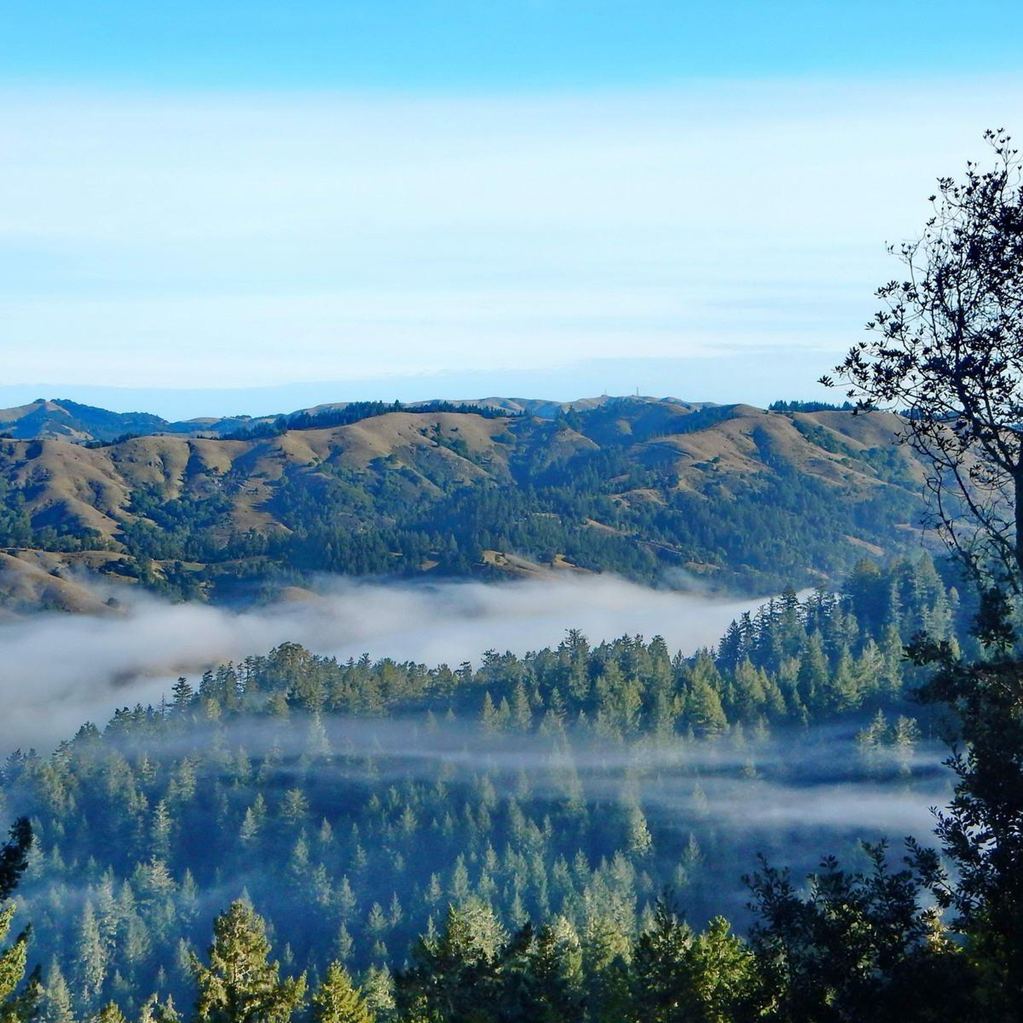
Imagine yourself road cycling across the iconic Golden Gate Bridge, with sweeping views of the San Francisco skyline and the Pacific Ocean. This moderate 34.5-mile (55.5 km) loop from Larkspur offers a dynamic ride, taking you through varied landscapes. You will experience both urban charm and coastal beauty, with dedicated cycle paths ensuring a smooth journey. The route involves a total elevation gain of 1804 feet (550 metres), making it a rewarding challenge that typically takes around 2 hours and 41 minutes to complete. It's a great way to explore the region's diverse scenery on two wheels.
Starting your road cycling adventure in Larkspur, you will find parking generally available for your convenience. Public transport options also connect you to the trailhead, making access straightforward. This route is primarily on paved surfaces, ideal for racebike enthusiasts. If you prefer to adjust the difficulty or shorten your return, consider utilizing the ferry services available from Sausalito or Tiburon. Plan for a morning start to enjoy the best light and avoid potential afternoon crowds on the bridge.
This loop is a quintessential San Francisco Bay Area experience, blending natural beauty with engineering marvels. Beyond the Golden Gate Bridge itself, you will pass through charming towns like Sausalito, offering opportunities for a quick stop or a scenic break. The route showcases the unique geography of the region, where the Pacific Ocean meets the bay, creating a distinctive microclimate and stunning vistas. It's a fantastic way to connect with the area's vibrant cycling culture and iconic landmarks.
4.4
(9)
296
riders
49.4km
02:38
790m
790m
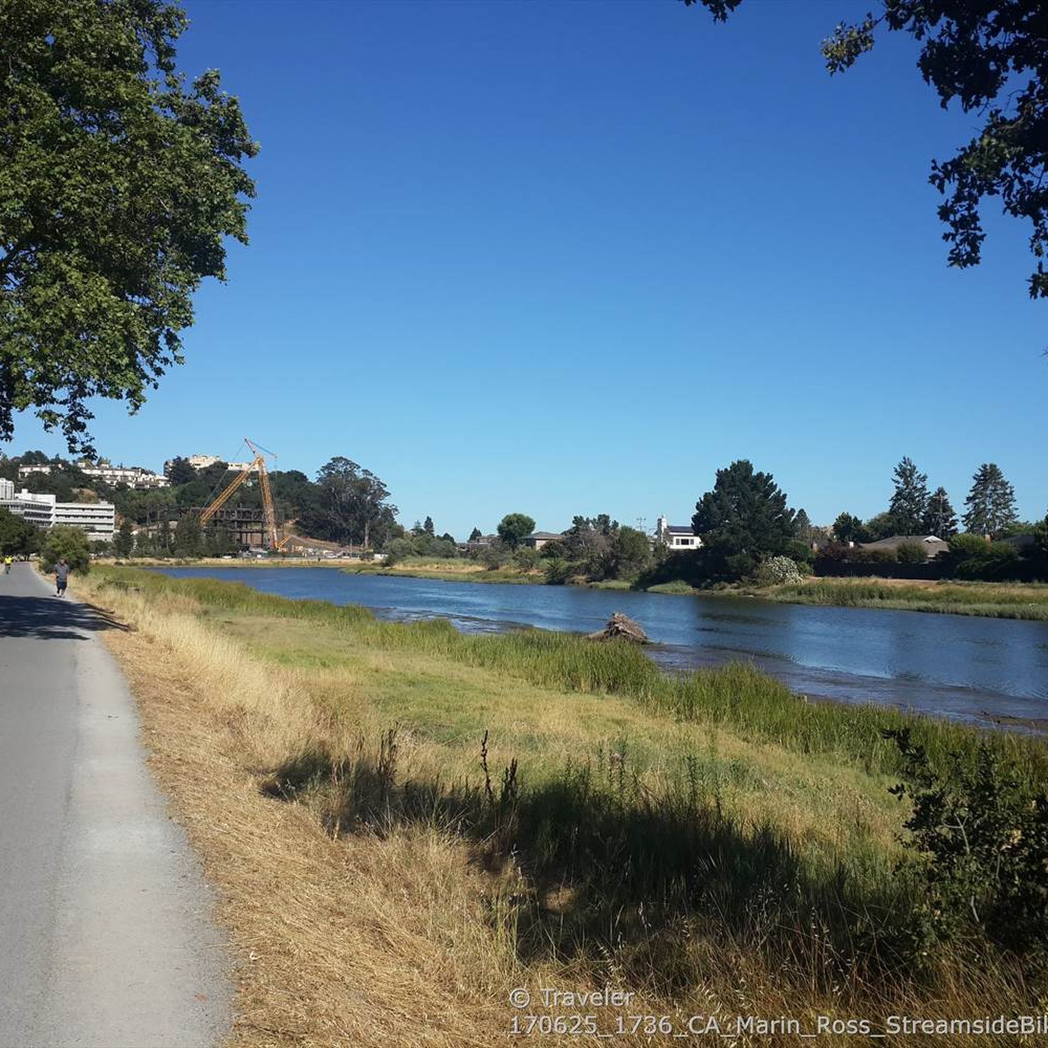
Embark on a moderate road cycling adventure through the Marin Headlands and along the Bay Trail, a route spanning 30.7 miles (49.4 km) with a substantial 2583 feet (787 metres) of elevation gain. As you pedal, you will experience a dynamic mix of coastal chaparral and open grasslands, offering iconic views of San Francisco, the majestic Golden Gate Bridge, and the vast Pacific Ocean. This journey, typically completed in about 2 hours and 37 minutes, provides a rewarding challenge for cyclists seeking both scenic beauty and a good workout.
Planning your ride requires a good level of fitness due to the significant climbs and steep descents you will encounter. The main roads are paved, ensuring a smooth ride for most of the route, though some sections of the broader Bay Trail system might present mixed terrain. The area is easily accessible from San Francisco, located directly across the Golden Gate Bridge, making it convenient for a day trip. Be aware that fog can sometimes roll in, potentially obscuring the panoramic views from spots like Hawk Hill, so check the weather before you go.
This route is nestled within the Golden Gate National Recreation Area, a region rich in both natural beauty and historical significance. Beyond the stunning natural landscapes, you will pass by historical landmarks such as old missile sites and Battery Spencer, offering glimpses into the area's past. Keep an eye out for local wildlife, including deer and coyotes, as you traverse this unique environment where urban proximity meets wild coastal expanses.

Sign up for free
5.0
(1)
191
riders
65.2km
03:52
1,490m
1,490m
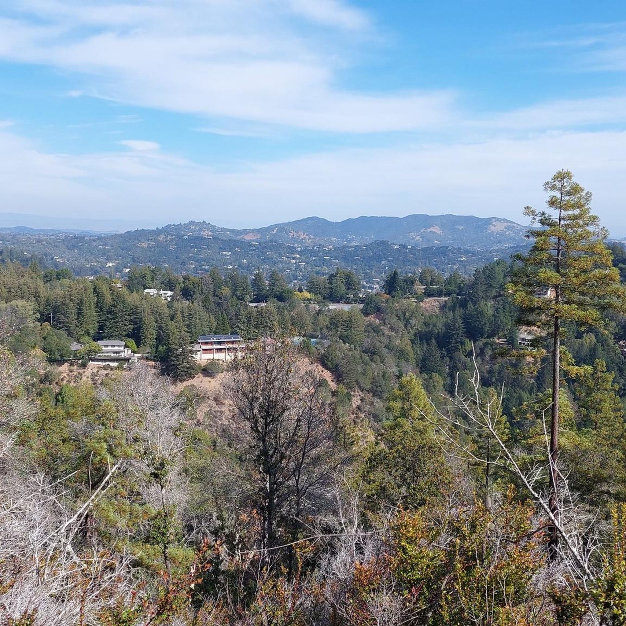
Embark on the difficult Bolinas Lagoon & Seven Sisters loop, a challenging road cycling adventure spanning 40.5 miles (65.2 km). This route immerses you in diverse scenery, from the serene coastal wetlands of Bolinas Lagoon, where you might spot harbor seals and various bird species, to the forested hillsides. You will conquer a substantial 4876 feet (1486 metres) of elevation gain, with the iconic "Seven Sisters" section of Ridgecrest Boulevard providing undulating terrain and panoramic vistas of the Pacific Ocean, Stinson Beach, and Bolinas Bay. Plan for approximately 3 hours and 52 minutes of intense riding.
This demanding route requires very good fitness due to its significant climbs and sustained effort. As you transition from the coast to higher elevations, be ready for varied microclimates and potential shifts in weather. Always ensure your racebike is in excellent working order to handle the challenging terrain effectively. Starting your ride earlier in the day can often provide more favorable conditions and less traffic.
The Bolinas Lagoon itself is an ecologically significant tidal estuary, making it a prime spot for nature observation. The route's journey through Mount Tamalpais State Park highlights the region's natural beauty and offers a unique perspective on its varied landscapes. This loop is a notable choice for experienced cyclists seeking a rewarding physical challenge combined with stunning natural surroundings.
3.7
(3)
167
riders
53.9km
02:32
640m
640m
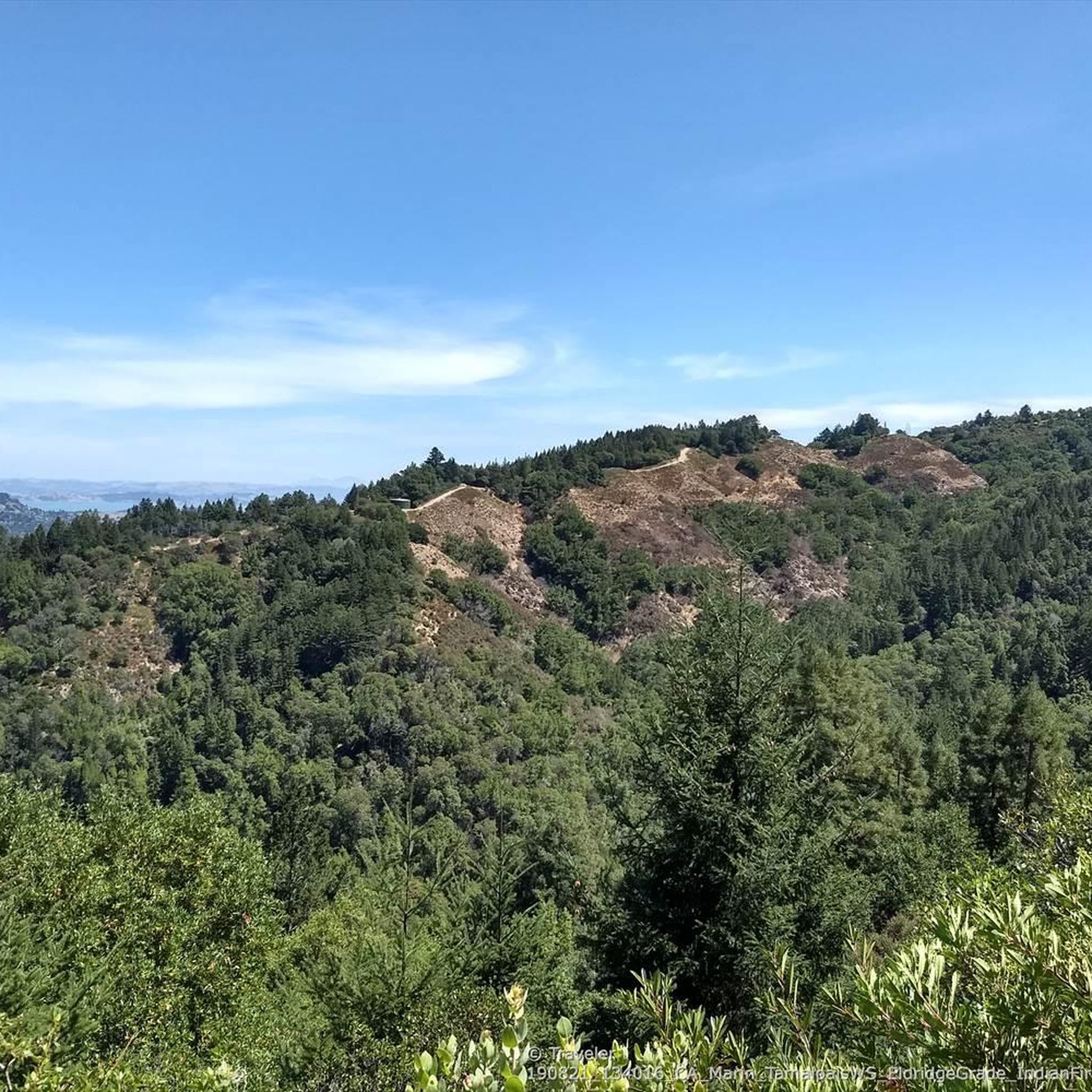
The Lucas Valley Loop offers a rewarding road cycling experience through the diverse landscapes of Marin County. This moderate route spans 33.5 miles (53.9 km) and includes a significant 2103 feet (641 metres) of elevation gain, typically completed in about 2 hours and 31 minutes. As you pedal, you will wind through shaded redwood groves, expansive open space hills, and picturesque grasslands dotted with oak trees, providing a varied and engaging ride.
Planning your ride on the Lucas Valley Loop is straightforward, as the route is easily accessible and popular with local cyclists. You will find convenient stops in towns like Fairfax along the way, which offer cafes such as the Coffee Roastery, perfect for a break or refuel. These amenities make it simple to plan your day and enjoy the journey without extensive preparation.
Beyond the scenic beauty, the Lucas Valley Loop provides unique glimpses into the region's character. You can enjoy views of dairy farm country and even catch a glimpse of the famous Skywalker Ranch. From Big Rock Ridge, on a clear day, you are treated to panoramic 360-degree views that stretch to include San Francisco and Mt. Diablo, making this route a standout for its expansive vistas.
4.9
(21)
277
riders
Moderate road ride. Good fitness required. Mostly well-paved surfaces and easy to ride.
Get access to more routes and recommendations from other explorers.
Sign up for free
Already have an account?
Our route recommendations are based on thousands of hikes, rides, and runs completed by other people on komoot.
Start today with a free account
Your next adventure awaits.
Login or Signup
Tips from the Community

An absolute must-see for cycling enthusiasts! This museum in Fairfax tells the story of nearly 200 years of cycling history, from 19th-century velocipedes to modern racing bikes. It's also home to the Mountain Bike Hall of Fame, featuring unique specimens and stories about the pioneers of mountain biking. The collection is impressive and authentic—no replicas, but real bicycles that showcase the evolution of technology and design. An inspiring place where you can truly feel the passion for cycling.
1
0

Lots of activity.
0
0
The bridge is more delicate than it appears at first glance.
0
0

Paved section riding on the ridge between Pan Toll Road and Fairfax-Bolinas Road where it contains as Bolinas Ridge Trail, with spectacular views along the way toward the Pacific Ocean and Stinson Beach far below. The road is open during daylight hours only, in winter that means 9am to sunset.
0
0

Hawk Hill is accessible via a short trail from Conzelman Road. From the summit you'll have a panoramic view of the Golden Gate Bridge, San Francisco, and the Headlands.
0
0

The Old Tiburon Rail Trail is a scenic 2.6-mile path along the San Francisco Bay, with breathtaking water views and Mt. Tamalpais. Starting at Blackie's Pasture, it winds past coastal mudflats full of wildlife before transitioning into an on-street bike lane leading to downtown Tiburon. It's a fantastic, smooth ride with historical markers, parks, and a ferry terminal at the trail's end, making it an ideal place to enjoy nature and local history for a day away from the big city.
0
0

The Sausalito Bike Path runs through Mill Valley. It's a paved route with great views of the wetlands on the old Northwest-Pacific rail line, which operated from 1884 until its closure in 1971. The path ends near Mike’s Bikes in Marin City, where riders can continue along the busy Bridgeway into Sausalito or take quieter marina backroads.
2
0
Frequently Asked Questions
What kind of terrain can I expect on road cycling routes around Kentfield?
Road cycling around Kentfield offers a diverse topography, ranging from rolling hills to more challenging climbs, especially as you approach Mount Tamalpais. You'll find routes that follow creeksides, offering gentler gradients, as well as those that venture into the Marin Headlands with significant elevation gains. The region's varied landscape ensures options for all skill levels.
Are there road cycling routes suitable for beginners or families in Kentfield?
Yes, Kentfield offers several routes suitable for beginners and families. While many routes feature rolling hills, you can find more gentle options. For instance, the main cycling route roughly following Magnolia Avenue connects Kentfield with neighboring Larkspur and Corte Madera, providing a convenient and relatively flat ride. The Golden Gate Bridge loop from Larkspur is a moderate route that offers scenic views without extreme difficulty, and the Phoenix Lake to Bon Tempe Lake loop is also considered moderate and suitable for various fitness levels, mostly on paved surfaces.
What are some challenging road cycling routes for experienced riders?
For experienced riders seeking a challenge, Kentfield provides routes with significant elevation gain and longer distances. The Bolinas Lagoon & Seven Sisters loop is a difficult 40.5-mile (65.2 km) trail known for its coastal landscapes and demanding climbs. Another challenging option is the Presidio Promenade – Golden Gate Bridge loop from Larkspur, which covers over 85 km with substantial climbing.
What natural features and landmarks can I see along the road cycling routes?
Kentfield's road cycling routes are rich with natural beauty and iconic landmarks. You can enjoy views of Mount Tamalpais, ride alongside Phoenix Lake and Bon Tempe Lake, or explore creekside trails along Corte Madera Creek. Many routes offer expansive bay views, and some even provide glimpses of the Golden Gate Bridge. You might also encounter highlights like the Bon Tempe Dam or the Eldridge Grade Fire Rd Trail, which offers stunning vistas.
Are there any circular road cycling routes around Kentfield?
Yes, many road cycling routes around Kentfield are designed as loops, allowing you to start and end at the same point. Popular circular routes include the Golden Gate Bridge loop from Larkspur, the Marin Headlands and Bay Trail Loop, and the Lucas Valley Loop. The Phoenix Lake to Bon Tempe Lake loop is also a well-known circular option.
What is the best time of year to go road cycling in Kentfield?
Kentfield benefits from a mild Mediterranean climate, making road cycling enjoyable year-round. The sheltered position by Mt. Tamalpais contributes to pleasant conditions. Spring and fall offer particularly comfortable temperatures and vibrant scenery. Even winter can be suitable, though checking local weather conditions is always advisable.
Where can I find parking or access routes via public transport in Kentfield?
Parking is generally available in and around Kentfield, particularly near trailheads or community centers. For public transport, Marin County Transit provides bus services that can connect you to various points near cycling routes. Some routes, like those starting from Larkspur, are accessible via ferry services from San Francisco, offering a unique way to begin your ride.
Are there places to stop for refreshments or find accommodation along the routes?
Yes, Kentfield and its neighboring towns like Larkspur, Corte Madera, and San Anselmo offer various cafes, pubs, and restaurants where you can stop for refreshments. You'll find options ranging from casual coffee shops to more substantial dining. For accommodation, there are hotels and inns in the surrounding Marin County area. Some routes might even pass by unique spots like Splitrock Tap & Wheel, a cafe catering to cyclists.
What do other road cyclists enjoy most about road cycling in Kentfield?
The road cycling experience in Kentfield is highly rated by the komoot community, with an average score of 4.6 stars from over 150 reviews. Cyclists frequently praise the diverse scenery, from coastal views to rolling hills and serene lakes. The variety of routes catering to different skill levels and the overall natural beauty of the Marin County area are often highlighted as key attractions.
Are there any unique cycling-related attractions in the Kentfield area?
Beyond the routes themselves, Kentfield is close to unique cycling-related attractions. The Marin Museum of Bicycling, located nearby, celebrates the history and culture of cycling, particularly mountain biking, which originated in Marin County. This offers an interesting stop for any cycling enthusiast.
How many road cycling routes are available around Kentfield?
There are over 110 road cycling routes available around Kentfield, offering a wide range of options for different distances, difficulty levels, and scenic preferences. This extensive network ensures that both casual riders and serious cyclists can find suitable adventures.
Most popular attractions around Kentfield

Get inspired with the komoot mobile app


Explore more
Browse the best Road cycling routes in other regions.
