The best walks and hikes around Durham
4.7
(18)
106
hikers
26
hikes
Hiking around Durham offers a variety of routes primarily centered on parkland and river canyons. The region's terrain is characterized by trails that follow creek beds and ascend to exposed canyon rims. This provides a mix of flat riverside paths and routes with moderate elevation gain. The network of trails allows for both easy, shorter walks and more demanding loop hikes.
Best hiking trails around Durham
- The most popular hiking route is North Rim, B Trail, and Middle Trail Loop…
Last updated: October 28, 2026
13
hikers
8.94km
02:16
20m
20m
The Big Chico Creek and Peterson Memorial Loop offers a delightful exploration of Upper Bidwell Park, guiding you through a mosaic of peaceful creekside paths, shaded oak woodlands, and expansive…
2
hikers
2.55km
00:39
0m
0m
The One Mile Recreation Area offers a delightful, easy hiking experience right in Chico, perfect for a relaxing outing. You'll stroll under a thick canopy of green trees, enjoying the…

2.34km
00:36
10m
10m
The Lindo Channel Loop offers a delightful, easy hiking experience, perfect for a quick nature fix. You'll wander along dirt paths beside the historic Lindo Channel, shaded by oaks and…
4.3
(3)
11
hikers
16.0km
04:27
310m
310m
If you're looking for a hike that showcases the best of Upper Bidwell Park, the North Rim, B Trail, and Middle Trail Loop is a fantastic choice. This 9.9-mile (16.0…
9
hikers
6.44km
01:52
170m
170m
The South Rim Trail offers an incredibly rewarding experience, showcasing panoramic views of the Grand Canyon from start to finish. This easy 4.0-mile (6.4 km) hike, with 543 feet (165…
Get access to more routes and recommendations from other explorers.
Already have an account?
Our route recommendations are based on thousands of hikes, rides, and runs completed by other people on komoot.
Start today with a free account
Your next adventure awaits.


Tips from the Community

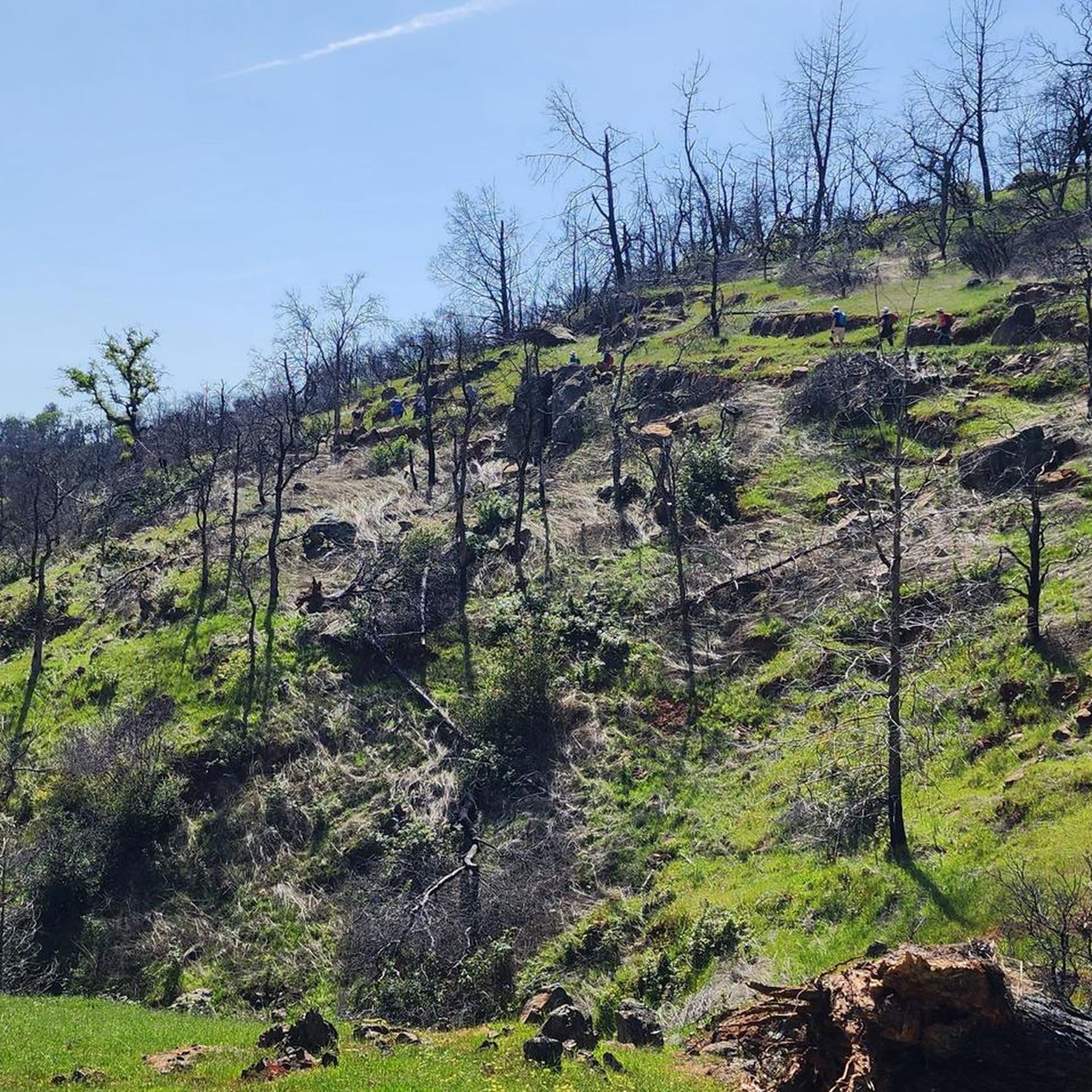
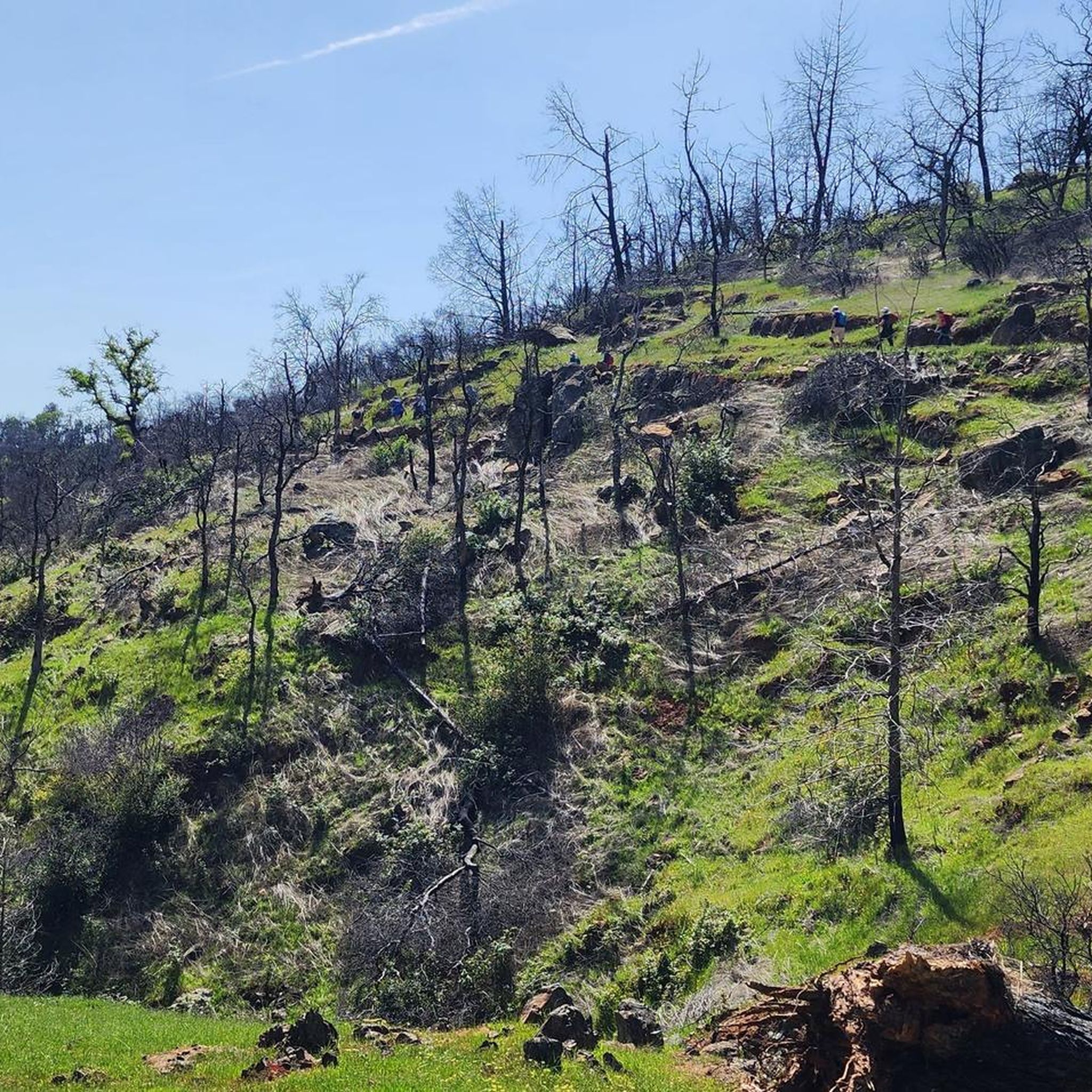
A truly amazing canyon, easily accessible from Chico. In spring, it's a wildflower explosion. There are several trails. Long pants are a plus, as there are rattlesnakes. It's still worth it!! The basalt rock through which the river flows has a special name: Lovejoy Basalt. It looks a bit like Krog from the Marvel Comics.
0
0

The South Rim Trail is a lovely combination of dirt and gravel, boasting spectacular views of Chico Canyon. Portions of the trail run alongside the river, creating a soothing backdrop as you immerse yourself in the scenery. This trail is popular with runners and mountain bikers, so keep an eye out as you enjoy exploring this beautiful trail.
0
0
This junction offers several options to continue exploring the park. From here, you can take the Yahi Trail to extend your hike and connect with other trails, head southwest to complete a loop, or go northeast and take a swim in Bear Hole, just a short .3-mile detour.
0
0
This trail offers easily navigable, relatively flat and rocky terrain, ideal for enjoying spring wildflowers and the stunning colors of fall. It connects to several other trails in the park, providing endless opportunities to explore this beautiful area.
0
0
The North Rim Trail is one of the longest trails in the park and connects to several other trails for multiple options to explore, although it is fantastic on its own as an out-and-back. The path provides stunning views of the park from different angles as it follows its edge and gains elevation. At the trail's end, there's a rocky lookout point with spectacular views of Horseshoe Lake and the distant Sutter Buttes, perfect for a stop to take in the beautiful scenery.
0
0

There is a parking area and viewing area here at the cliffs overlooking Big Chico Creek. The trails heading down to the water are best done on foot, but the views from the parking lot are still great.
0
0

This man-made lake takes its name from its U-shape, although it is not so evident when the water level is low. The waters are calm and often offer nice reflections. Beware of ticks in the area!
0
0

Monkey Face can be seen from this spot! Hike up North Rim Trail until it meets Manzanita and take it down to the monkey!
1
0
Frequently Asked Questions
Are there many dog-friendly hiking trails in Durham?
Yes, many trails in the Durham area are welcoming to dogs on leashes. Duke Forest is a popular choice, known for its clean, open spaces and well-maintained trails. Eno River State Park also allows leashed dogs on its rugged paths. Always remember to bring water for your pet and to clean up after them.
What are some good, easy hikes for beginners or families?
For an easy and accessible outing, the American Tobacco Trail offers a paved, flat surface perfect for families and beginners. For a more natural setting, West Point on the Eno features scenic, relatively flat trails along the river, often with views of a historic mill. The Upper Park Road & Yahi Trail loop is another gentle option that's great for a shorter walk.
Where can I find hikes with good river views?
The Eno River is the heart of Durham's hiking scene, so many trails offer excellent river views. Eno River State Park has several trails, like the Laurel Bluffs Trail, that wind along the water. For a different perspective, the Yahi & Upper Trail loop provides a lovely experience alongside a creek.
Are there any challenging or steep hikes in the Durham area?
Yes, for a more strenuous hike, head to Occoneechee Mountain State Natural Area. It offers some of the steepest and most rugged terrain in the region, providing a good challenge with rewarding views. In Eno River State Park, the Cox Mountain loop also includes significant elevation gain and is considered a more demanding hike.
Can I find any circular or loop trails?
Absolutely. Loop trails are common in Durham's parks. Eno River State Park features popular loops like the 1.5-mile Buckquarter Creek trail and the 3.75-mile Cox Mountain trail. For a longer, more challenging loop, the South Rim Trail offers a substantial circuit with notable elevation changes.
What do other hikers think of the trails around Durham?
The trails around Durham are highly regarded by the komoot community, with an average rating of 4.9 stars. Hikers often praise the variety of scenery, from serene river walks along the Eno to the more rugged, forested paths in places like Duke Forest.
Are there any waterfall hikes near Durham?
While the region is not known for large waterfalls, you can find small cascades and rapids along the Eno River, especially after rainfall. The trails within Eno River State Park, particularly near the suspension bridge and along Buckquarter Creek, offer the best chance to see moving water and scenic river features.
What is the best time of year to go hiking in Durham?
Spring and fall are ideal for hiking in Durham, offering pleasant temperatures and beautiful natural scenery, from spring wildflowers to vibrant autumn foliage. Summer can be hot and humid, so early morning hikes are recommended. Winter is generally mild, making year-round hiking possible, though trails can be muddy.
Are most hiking trails in Durham free to access?
Yes, the vast majority of hiking trails in and around Durham are free to access. This includes city parks like West Point on the Eno, preserves like Horton Grove Nature Preserve, and Duke Forest. Eno River State Park is also free to enter, though some state parks in North Carolina may have fees for specific activities or amenities.
Where can I find longer hikes for a full day out?
For a longer day on the trail, consider the Guardian & Annie Bidwell Trail, a moderate route that covers over 8 miles. You can also explore sections of the Mountains-to-Sea Trail, which passes through the area and offers opportunities for extended point-to-point hikes.
How difficult are the trails in Eno River State Park?
Eno River State Park offers a range of difficulties. You can find easy, relatively flat trails that follow the river, but also moderate-to-strenuous routes like the Cox Mountain and Laurel Bluffs trails, which involve hills, rocky sections, and stream crossings. It's a park where you can choose your own level of challenge.
Most popular routes around Durham
Most popular attractions around Durham

Get inspired with the komoot mobile app


Explore more
Browse the best Hikes in other regions.
