The best road cycling routes around Day Valley
4.2
(32)
1,305
riders
67
rides
Road cycling around Day Valley features varied terrain, including challenging climbs and scenic descents through diverse landscapes. The region is characterized by a mix of forests, water bodies, and unique geological formations, providing a range of visual experiences. Road cycling routes often traverse areas with significant elevation changes, offering rewarding views.
Best road cycling routes around Day Valley
- The most popular road cycling route is Eureka Canyon loop, a 39.9 miles (64.2 km) trail that takes 3 hours 31…
Last updated: May 12, 2026
4.7
(3)
136
riders
64.2km
03:31
890m
890m
Moderate road ride. Good fitness required. Mostly well-paved surfaces and easy to ride.
52
riders
85.2km
04:33
1,210m
1,210m
Hard road ride. Very good fitness required. Mostly well-paved surfaces and easy to ride.

Sign up for free
5.0
(1)
30
riders
117km
06:29
1,830m
1,830m
Hard road ride. Very good fitness required. Some segments of this route may be unpaved and difficult to ride.
3.7
(3)
29
riders
Moderate road ride. Good fitness required. Mostly well-paved surfaces and easy to ride.
16
riders
Moderate road ride. Good fitness required. Mostly well-paved surfaces and easy to ride.
Get access to more routes and recommendations from other explorers.
Sign up for free
Already have an account?
Our route recommendations are based on thousands of hikes, rides, and runs completed by other people on komoot.
Start today with a free account
Your next adventure awaits.
Login or Signup


Other adventures around Day Valley

Tips from the Community


Bamboo Giant Nursery is a peaceful nursery garden with 60 different varieties of non-native bamboo and other species of plants, with some bamboos 50 feet tall. The nursery offers picnic areas, benches and gazebos surrounded by a beautiful garden and small ponds.
0
0

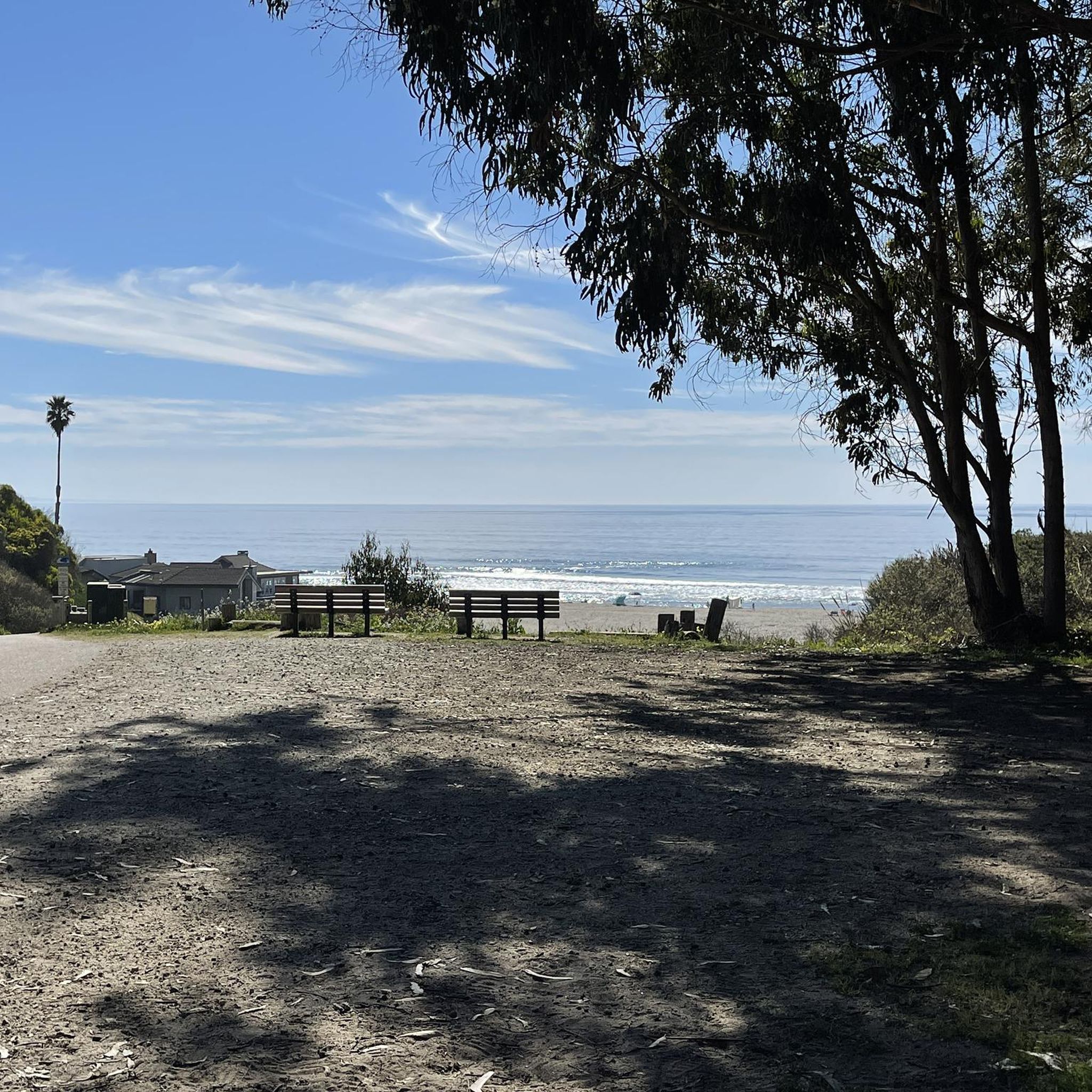
For cyclists exploring Santa Cruz, Pleasure Point Beach on 38th Avenue beckons with its beauty and recreational opportunities. Ideal for swimming, sunbathing, and surfing, the beach offers a picturesque setting. It is accessible via a brief walk from the road.
0
0

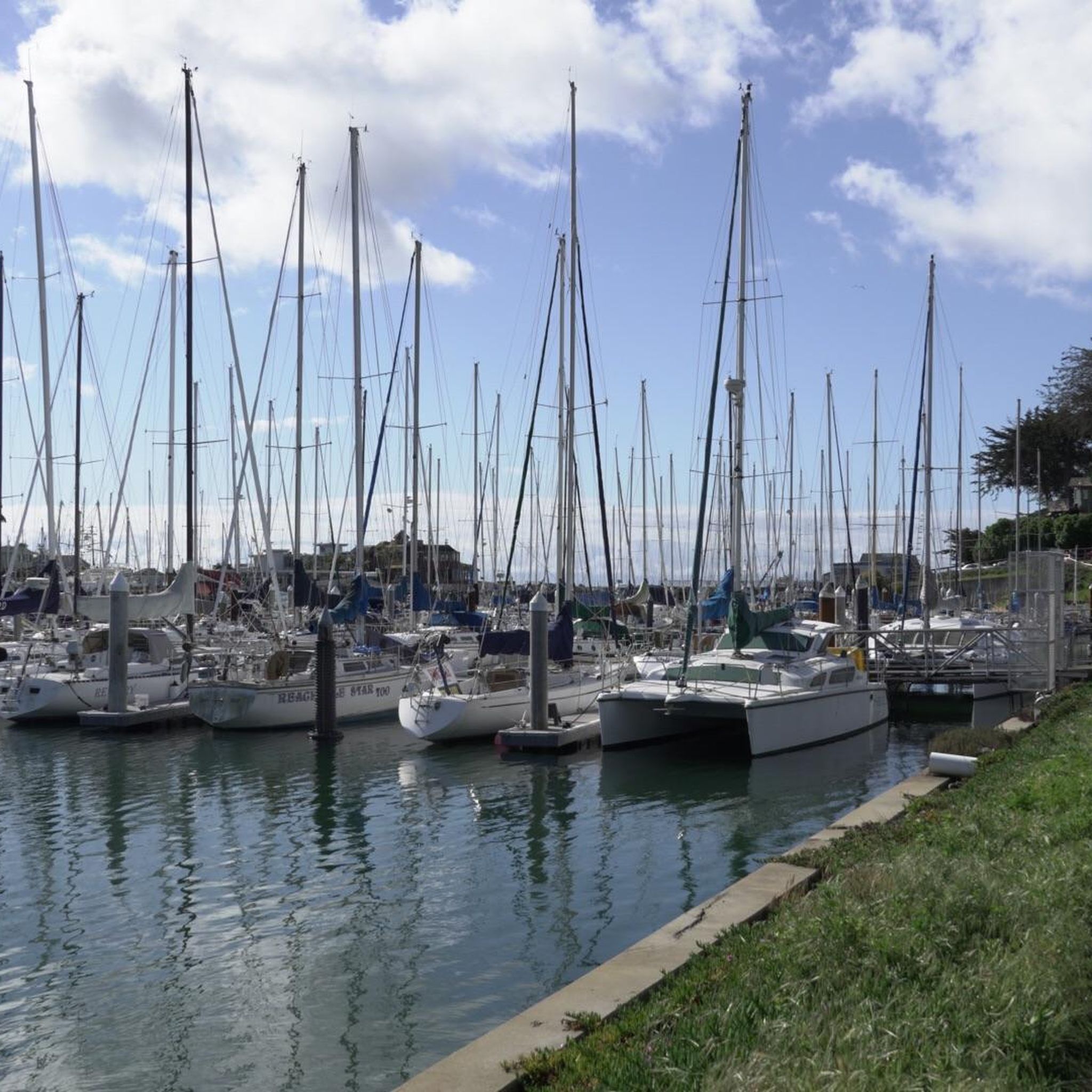
Twin Lakes State Beach features a mile of sandy shoreline for swimming and picnicking, situated near the Santa Cruz Harbor. Adjacent Schwan Lake Park offers picturesque walking trails through oak preserves and coastal grasslands, ideal for dog-walking and bird watching. The day-use area operates from sunrise to sunset.
0
0

Branciforte Drive is a beautiful and mellow road to ride. The climbs are gentle compared to other roads in the area.
0
0
Pleasure Point Beach is a popular surf spot and is part of Pleasure Point Park. The park also features restrooms, picnic tables, and offers great views.
0
0
Schwan Lake is part of Twin Lakes State Park and was originally known as Schwan Lagoon when it connected to the ocean. Harbor construction restricted the flow of water from the ocean, transforming it into a freshwater lake.
0
0
Seacliff State Beach is a long stretch of sand backed by bluffs and is best known for its concrete freighter, the SS Palo Alto, lying in the water just off the beach.
0
0
Frequently Asked Questions
How many road cycling routes are available around Day Valley?
Day Valley offers a wide selection of road cycling routes, with over 65 options to explore. These range in difficulty from moderate to difficult, catering to various skill levels.
Are there any easy road cycling routes suitable for beginners in Day Valley?
While many routes in Day Valley feature significant elevation changes, there are 16 routes classified as easy. These routes provide a good starting point for those new to road cycling in the region, allowing riders to enjoy the scenery without overly strenuous climbs.
What are some challenging road cycling routes for experienced riders in Day Valley?
For experienced road cyclists seeking a challenge, Day Valley offers 11 difficult routes. A notable option is the Calero Reservoir – Uvas Reservoir loop from Corralitos, a 72.9-mile trail with substantial climbs, often completed in about 6 hours 46 minutes. Another demanding route is the Pleasure Point Beach – Capitola Village loop from Corralitos, which features significant elevation gain and coastal views over 52.9 miles.
What kind of terrain can I expect on road cycling routes in Day Valley?
Road cycling in Day Valley is characterized by varied terrain, including challenging climbs and scenic descents. The region features a mix of forests, water bodies, and unique geological formations, providing a diverse visual experience. You'll encounter routes with significant elevation changes, offering rewarding views from higher points.
Are there any scenic road cycling routes with coastal views in Day Valley?
Yes, some routes offer stunning coastal views. The Pleasure Point Beach – Capitola Village loop from Corralitos is known for its coastal vistas. Another option is the Manresa State Beach – Sunset State Beach loop from San Andreas Creek - King Property, which takes you along the coast with beautiful beach scenery.
What natural features or landmarks can I see along the road cycling routes in Day Valley?
Day Valley's routes often pass by diverse natural features. You can encounter beautiful beaches like Manresa State Beach, or explore areas with waterfalls such as Granuja Falls and Upper Falls. The region also features forests like The Forest of Nisene Marks State Park, and offers viewpoints from peaks like Lone Tree Prairie and Bald Mountain Viewpoint.
What do other road cyclists enjoy most about road cycling in Day Valley?
The road cycling routes in Day Valley are highly rated by the komoot community, with an average score of 4.0 stars from over 35 reviews. Reviewers often praise the varied terrain, the balance of challenging climbs and rewarding descents, and the scenic beauty of the diverse landscapes, including forests and water bodies.
Are there any loop trails for road cycling in Day Valley?
Yes, many of the road cycling routes in Day Valley are designed as loops, offering a continuous journey back to your starting point. A popular example is the Eureka Canyon loop, a 39.9-mile moderate trail. Another is the Eureka Canyon – Top of Eureka Canyon loop from San Andreas Creek - King Property.
What is the best time of year to go road cycling in Day Valley?
Day Valley's diverse topography suggests that road cycling can be enjoyed across multiple seasons, though specific conditions will vary. Areas with significant elevation changes might be best in spring and fall for milder temperatures. Coastal routes could be pleasant year-round, while forested areas offer shade in warmer months. Always check local weather conditions before heading out.
Are there options for family-friendly road cycling in Day Valley?
While many routes in Day Valley feature significant elevation, the 16 easy-rated routes are generally more suitable for families or those looking for a less strenuous ride. These routes allow for a more relaxed pace to enjoy the natural surroundings. Always check the specific route details for distance and elevation to ensure it matches your family's ability.
Where can I find parking for road cycling routes in Day Valley?
Specific parking information for individual routes is often available on the komoot tour pages. For broader regional context, areas like state parks or designated trailheads typically offer parking facilities. It's advisable to check the starting point of your chosen route on komoot for detailed parking suggestions.
Are there any road cycling routes that pass by coffee shops or cafes in Day Valley?
While specific coffee stops are not detailed in the route descriptions, many routes in Day Valley start or pass through towns and villages where cafes and pubs are likely to be found. For example, routes originating from or passing through areas like Corralitos or Capitola Village (as seen in the Pleasure Point Beach – Capitola Village loop) would offer opportunities for refreshment.
Most popular attractions around Day Valley

Get inspired with the komoot mobile app


Explore more
Browse the best Road cycling routes in other regions.
