The best walks and hikes around Großer Brückentinsee
4.5
(2462)
8,136
hikers
371
hikes
Hiking trails around Großer Brückentinsee traverse a landscape characterized by numerous lakes, extensive forests, and gentle, rolling terrain. The region, part of the Mecklenburg Lake District, offers a network of paths that wind through nature reserves and past smaller bodies of water. Elevation changes are generally modest, making many routes accessible for various fitness levels.
Best hiking trails around Großer Brückentinsee
- The most popular hiking route is Dabelow Village Church – Kleiner Gadowsee loop from Großer Brückentinsee, a 10.9…
Last updated: November 6, 2026
4.7
(6)
14
hikers
Easy hike. Easily walkable paths.
4.0
(3)
4
hikers
11.4km
02:57
60m
60m
Moderate hike. Good fitness required. Easily walkable paths.

5.0
(3)
22
hikers
17.4km
04:29
80m
80m
Moderate hike. Good fitness required. Easily walkable paths.
3
hikers
Easy hike. Easily walkable paths.
4.6
(55)
174
hikers
Moderate hike. Mostly walkable paths. Sure-footedness required.
Get access to more routes and recommendations from other explorers.
Already have an account?
Our route recommendations are based on thousands of hikes, rides, and runs completed by other people on komoot.
Start today with a free account
Your next adventure awaits.
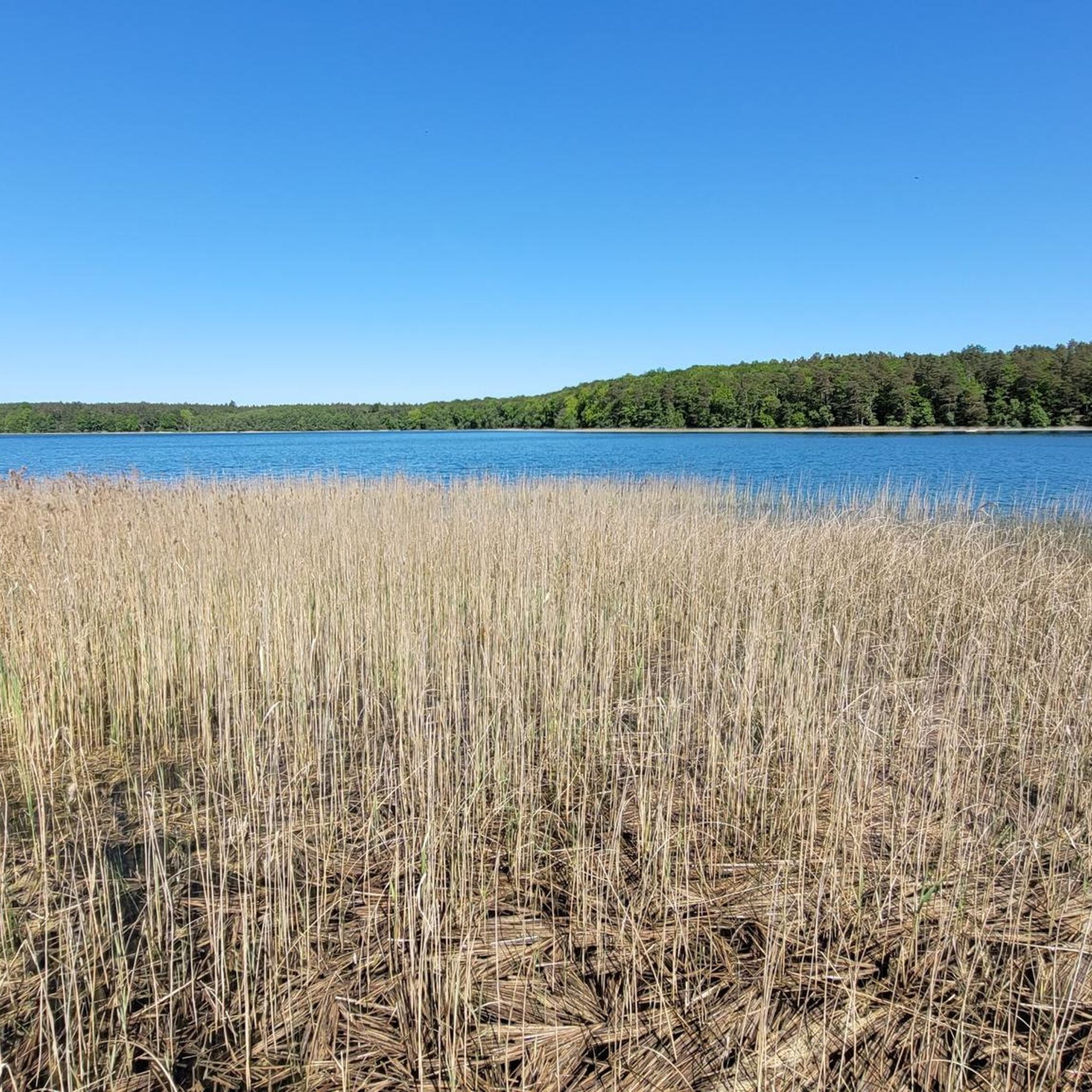
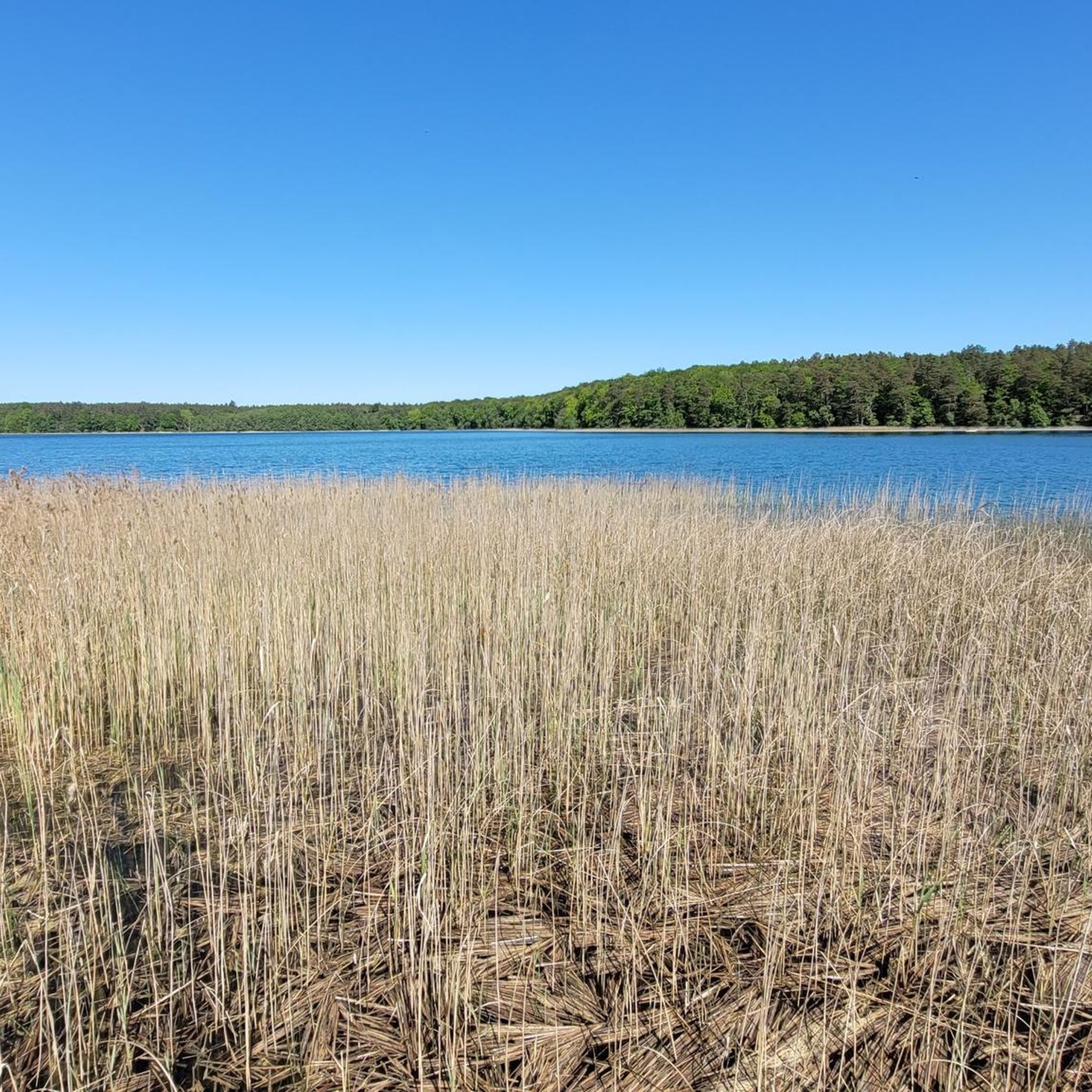
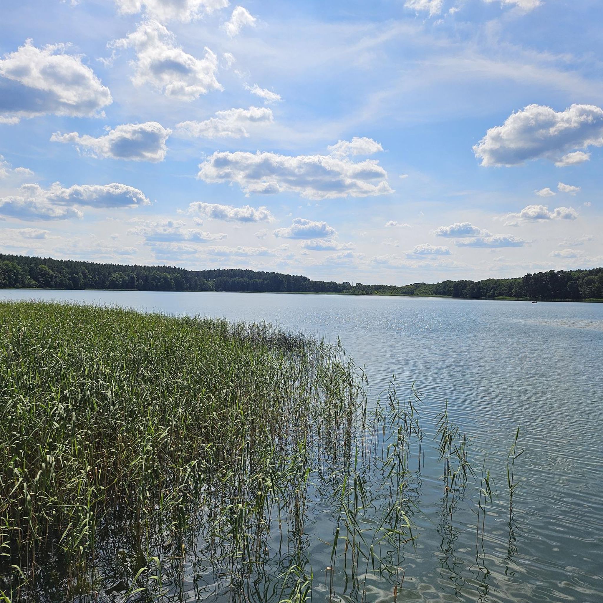
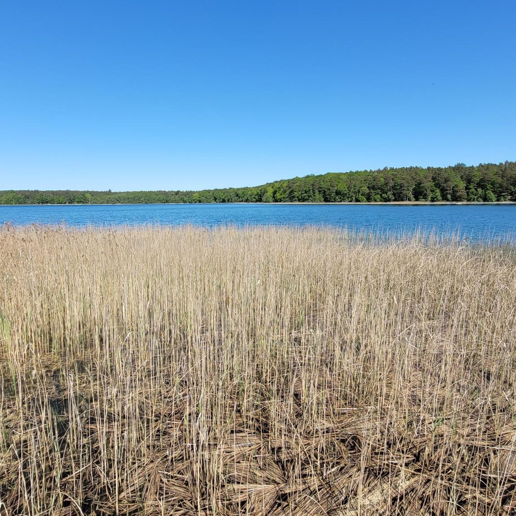
Tips from the Community

Attention: ‼️ We had 45 fallen trees up to 40 cm high to overcome!!! Not recommended for children or small dogs
0
0

My photo shows a swimming spot on the Linowsee.
0
0

Beautiful bathing area with rest area.
0
0

Beautifully maintained bathing area with some seating and play areas
1
0
This little piece of history is hard to find https://www.askanier-welten.de/dorfkirchen/saehlecastavel/
2
0
Frequently Asked Questions
How many hiking trails are available around Großer Brückentinsee?
There are over 350 hiking routes in the Großer Brückentinsee region, offering a wide range of options for all skill levels. This includes 187 easy routes, 155 moderate routes, and 9 challenging trails.
Are there easy hiking trails suitable for beginners or families?
Yes, Großer Brückentinsee offers many easy trails perfect for beginners and families. For example, the Klapperberge Nature Reserve – Kleiner Brückentinsee loop from Großer Brückentinsee is an easy 4.2-mile (6.8 km) path through scenic nature. Another accessible option is the Lakeside Swimming Area – Lakeside Swimming Spot loop from Kleiner Kastavensee, which is 4.8 miles (7.7 km) long.
What is the typical length and duration of hikes in the Großer Brückentinsee area?
Hikes around Großer Brückentinsee vary significantly in length and duration. You can find shorter walks like the Geodetic Reference Point loop from Wokuhl-Dabelow, which is about 2.9 miles (4.7 km) and takes around 1 hour 15 minutes. Longer, more moderate routes, such as the Dabelow Village Church – Kleiner Gadowsee loop from Großer Brückentinsee, can be up to 10.9 miles (17.5 km) and take over 4 hours.
Are there circular hiking routes around Großer Brückentinsee?
Yes, many of the trails around Großer Brückentinsee are circular, allowing you to start and end at the same point. Examples include the Blueberry Forest loop from Sandugkensee, a 7.3-mile (11.7 km) route, and the Klapperberge Nature Reserve – Kleiner Brückentinsee loop from Großer Brückentinsee.
What is the best time of year to go hiking around Großer Brückentinsee?
The Großer Brückentinsee region is beautiful year-round, but spring (April-May) and autumn (September-October) are particularly pleasant for hiking. During these seasons, the weather is generally mild, and the landscapes offer vibrant colors. Summer (June-August) is also popular, especially for combining hikes with swimming in the lakes.
Can I bring my dog on the hiking trails near Großer Brückentinsee?
Most hiking trails around Großer Brückentinsee are dog-friendly. However, it's always recommended to keep your dog on a leash, especially in nature reserves or areas with wildlife, and to check for any specific local regulations or signage along your chosen route.
Are there opportunities for swimming along the hiking trails?
Given the region's numerous lakes, including Großer Brückentinsee itself, there are many opportunities for swimming. Some routes, like the Lakeside Swimming Area – Lakeside Swimming Spot loop from Kleiner Kastavensee, even highlight designated swimming spots, making it easy to combine your hike with a refreshing dip.
What do other hikers enjoy the most about hiking in Großer Brückentinsee?
The area is highly rated by the komoot community, with an average score of 4.6 stars from over 1,900 reviews. Reviewers often praise the quiet woodlands, the interconnected lakes, and the well-marked paths that make navigation easy and enjoyable.
Where can I find parking for hiking trails around Großer Brückentinsee?
While specific parking locations are not detailed for every route, many trailheads in the Großer Brückentinsee region, especially near villages and popular starting points, offer designated parking areas. It's advisable to check local maps or komoot tour details for parking suggestions near your chosen starting point.
Is Großer Brückentinsee accessible by public transport for hikers?
Access to Großer Brückentinsee by public transport can be limited, as is common in more rural parts of the Mecklenburg Lake District. While some larger towns nearby may have train or bus connections, reaching specific trailheads often requires a car. It's best to research specific bus routes or regional train lines if you plan to rely on public transport.
Are there any interesting landmarks or natural features to see along the trails?
Yes, the trails often lead through diverse landscapes. You can explore areas like the Klapperberge Nature Reserve, visit historical sites such as the Dabelow Village Church, or simply enjoy the serene views of various lakes like Kleiner Gadowsee, Sandugkensee, and Kleiner Brückentinsee, which are prominent features of the region.
Most popular routes around Großer Brückentinsee

Get inspired with the komoot mobile app


Explore more
Browse the best Hikes in other regions.
