The best walks and hikes around Carmel Valley Village
4.8
(25)
267
hikers
21
hikes
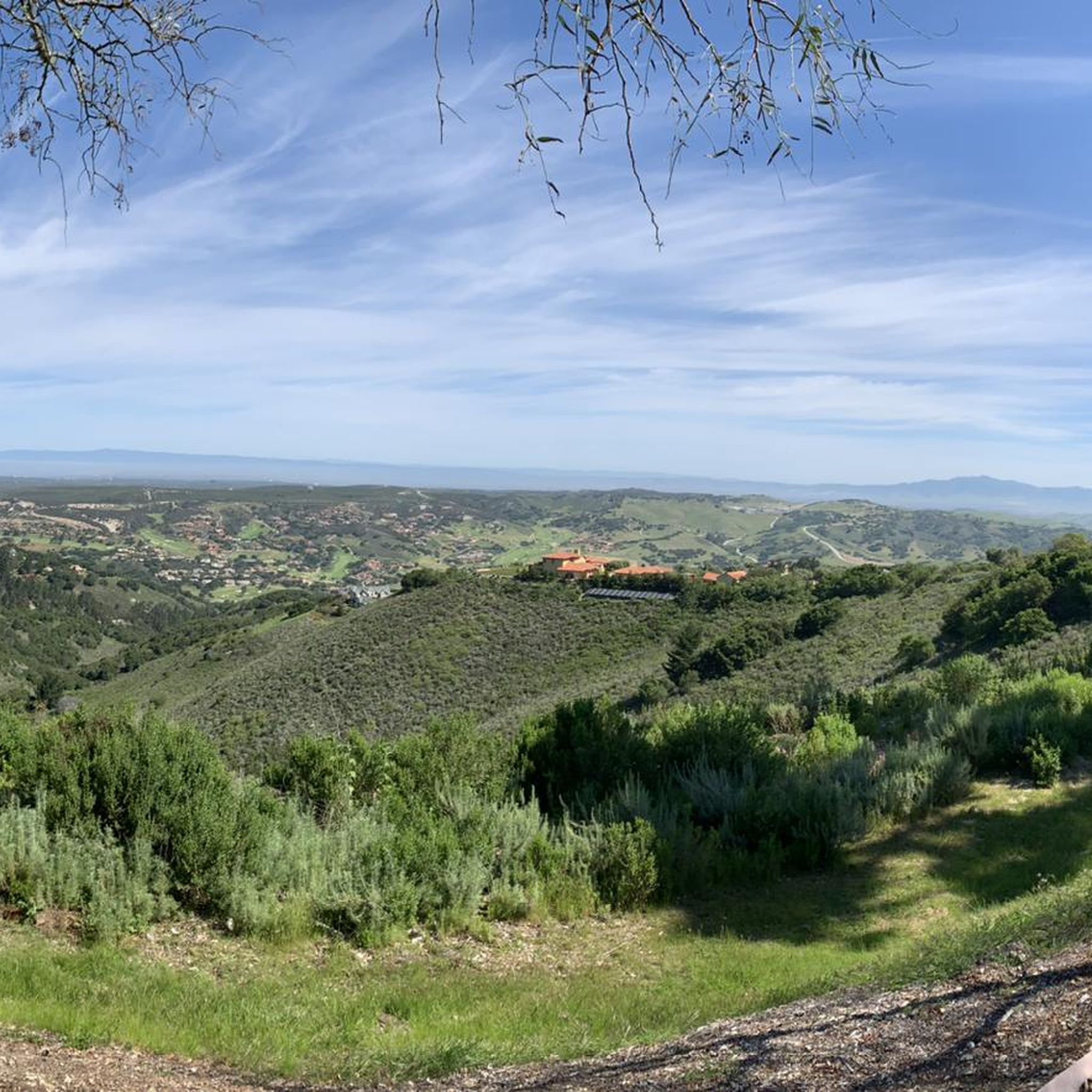
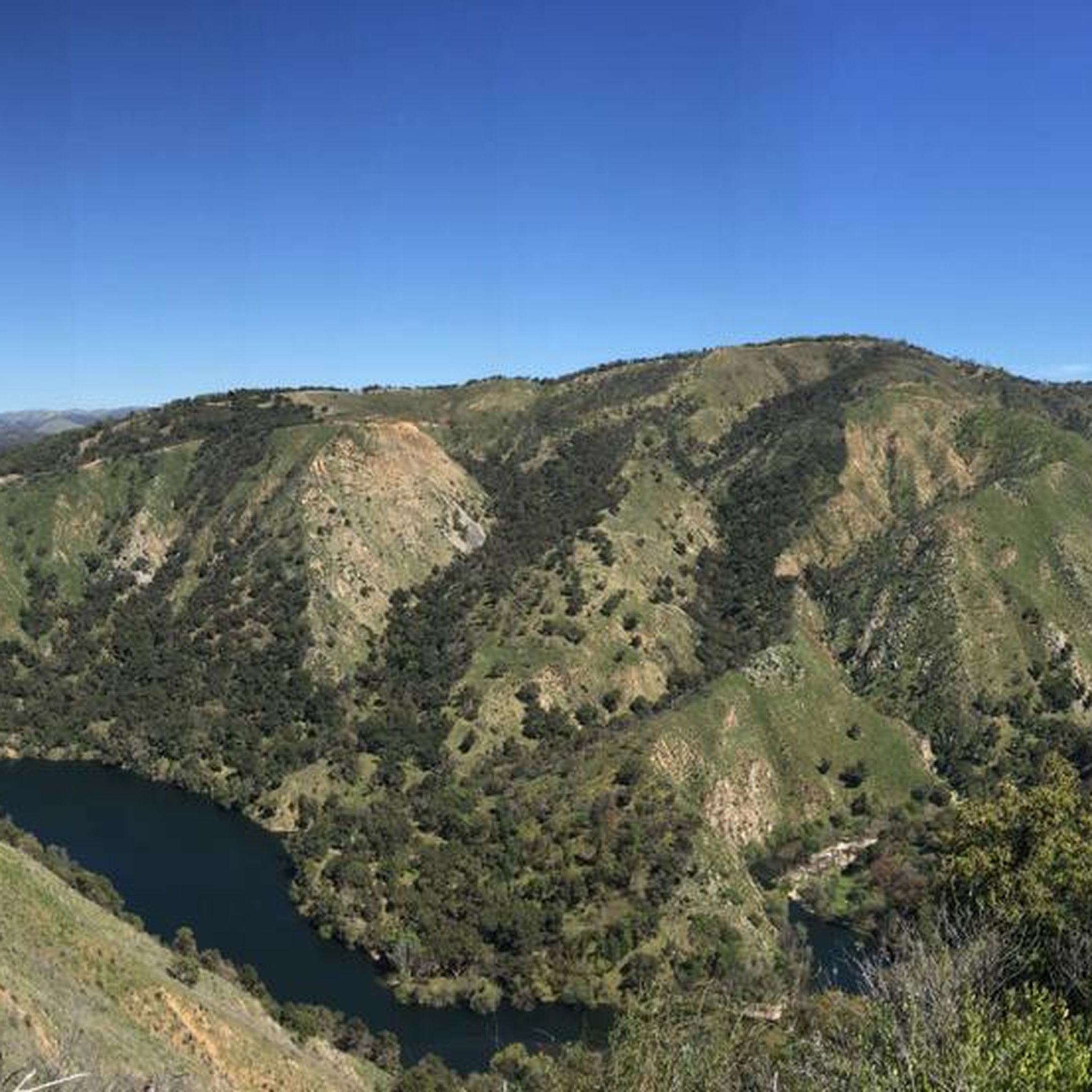
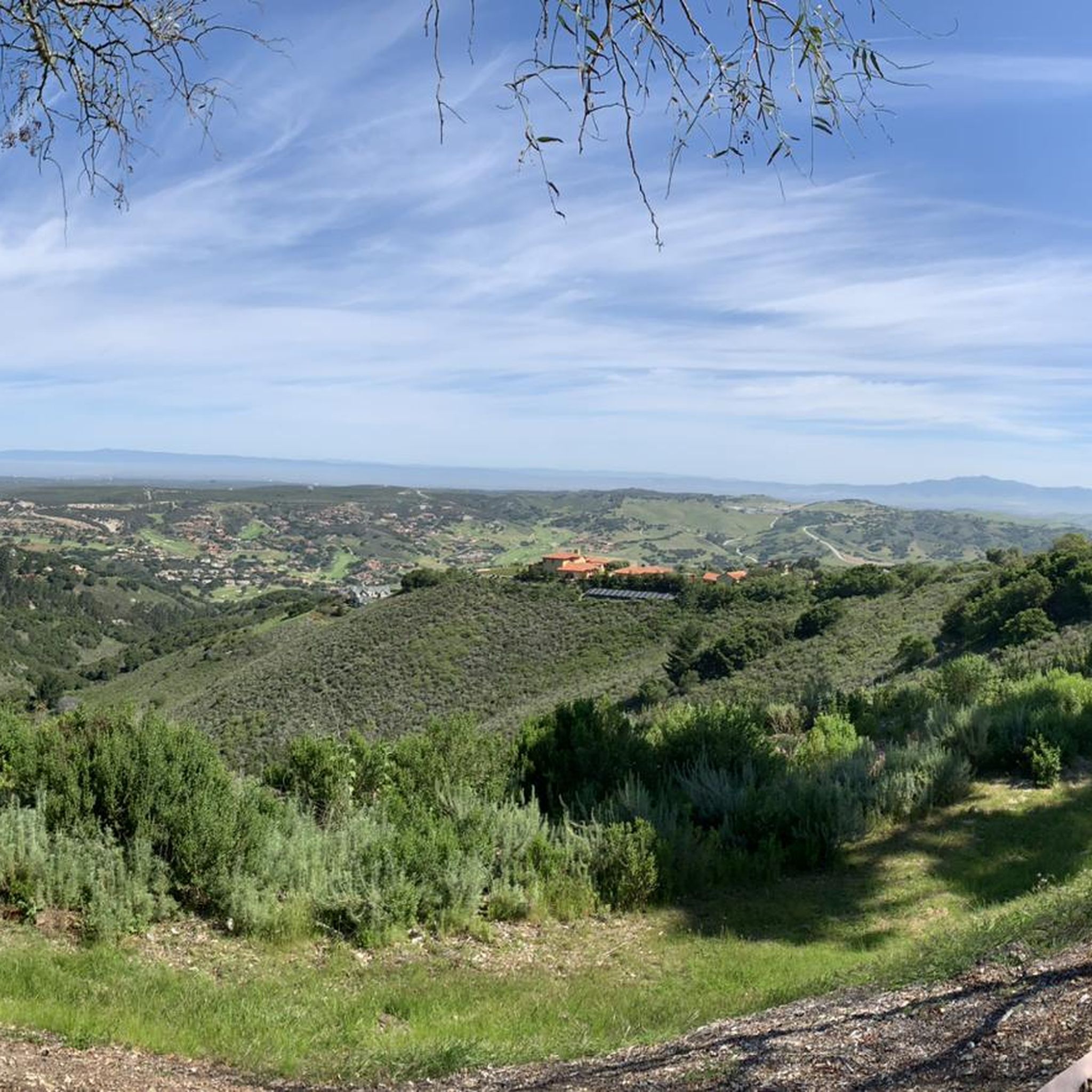
Hiking around Carmel Valley Village offers diverse landscapes in Monterey County, California. The region features oak woodlands, chaparral, and riparian habitats, particularly within parks like Garland Ranch Regional Park and Palo Corona Regional Park. Rolling hills and vineyards frame the valley, providing varied terrain for outdoor activities. The area is characterized by its natural beauty, including towering oak trees and views of the Carmel River.
Best hiking trails around Carmel Valley Village
- The most popular hiking route is Garland Ranch…
Last updated: November 7, 2026
5.0
(2)
37
hikers
6.62km
02:00
200m
200m
The Cottonwood, Maple Canyon, and Lupine Loop offers a delightful and varied hiking experience in Carmel Valley's Garland Ranch Regional Park. You'll wander through open meadows, shaded oak woodlands, and…
5.0
(3)
28
hikers
9.63km
03:16
470m
470m

4.5
(2)
11
hikers
6.06km
02:16
390m
390m
4
hikers
5.56km
02:03
340m
340m
5.0
(1)
2
hikers
6.49km
02:23
440m
390m
Get access to more routes and recommendations from other explorers.
Already have an account?
Our route recommendations are based on thousands of hikes, rides, and runs completed by other people on komoot.
Start today with a free account
Your next adventure awaits.
Popular around Carmel Valley Village

Other adventures around Carmel Valley Village

Tips from the Community

Great waterfall in Garland Ranch Regional Park. The trail to get to the waterfall is well-marked and not technical, so the walk to get to the falls is definitely worth it.
0
0
The Waterfall Trail is a beautiful trail that winds through the Garland Ranch Regional Park. As the name suggests, it passes by a wonderful waterfall.
0
0

Mesa Pond lies just off the trail in an open meadow, offering a peaceful break and great views of Carmel Valley.
0
0

Garland Ranch Regional Park is a 3,464-acre public recreational area that is managed by the Monterey Peninsula Regional Park District. The area has over 50 miles of hiking and biking trails as well as a diverse series of ecosystems that exist within its boundaries.
0
0
Frequently Asked Questions
How many hiking trails are available around Carmel Valley Village?
There are 17 hiking routes around Carmel Valley Village, offering a variety of experiences. These include 10 easy trails and 7 moderate trails, ensuring options for different fitness levels.
What kind of landscapes can I expect to see while hiking in Carmel Valley Village?
Hiking around Carmel Valley Village offers diverse landscapes including oak woodlands, chaparral, and riparian habitats. You'll also find picturesque rolling hills, lush vineyards, and towering oak trees, with views of the Carmel River in some areas.
Are there any easy, family-friendly hikes in the area?
Yes, there are several easy, family-friendly options. For example, the Inspiration Point via Mesa Trail — Garland Ranch Regional Park is an easy 3.2-mile path through oak woodlands. Another easy option is the Waterfall Trail – Buckeye Trail loop from Carmel Valley Rd / Garland Ranch, which is 3.4 miles long and leads through riparian habitats.
What is the best time of year to go hiking in Carmel Valley Village?
Carmel Valley Village enjoys over 300 days of sunshine annually, making it an inviting destination for hiking almost year-round. Spring and fall offer particularly pleasant temperatures, while winter can still be enjoyable due to the mild climate.
Are there any circular hiking routes in Carmel Valley Village?
Yes, several circular routes are available. A popular choice is the Garland Ranch Regional Park loop, a moderate 4.9-mile trail. Another option is the Maple Canyon Trail loop from Carmel Valley Rd / Garland Ranch, a moderate 6.4-mile route.
What do other hikers say about the trails in Carmel Valley Village?
The trails in Carmel Valley Village are highly rated by the komoot community, with an average score of 4.8 out of 5 stars from 16 reviews. Hikers often praise the diverse ecosystems, well-maintained paths, and the scenic beauty of the oak woodlands and rolling hills.
Are there any trails that feature waterfalls?
Yes, the Waterfall Trail – Buckeye Trail loop from Carmel Valley Rd / Garland Ranch is an easy 3.4-mile route that leads through riparian habitats and woodlands, featuring a waterfall. You can also visit the Waterfall Trail highlight directly.
What are some notable points of interest or attractions near the hiking trails?
Beyond the trails themselves, you can explore the charming Carmel Valley Village. For those interested in other outdoor activities, the Laguna Seca Recreation Area is also nearby.
Are there any challenging hikes for experienced hikers?
While there are no trails classified as 'difficult' in this guide, the region offers several moderate routes that provide a good workout. The Buckeye Trail – Waterfall Trail loop from Carmel Valley Rd / Garland Ranch is a moderate 5.8-mile hike with significant elevation gain, offering a more strenuous experience.
What types of natural habitats can be observed in the parks around Carmel Valley Village?
Parks like Garland Ranch Regional Park and Palo Corona Regional Park showcase diverse natural habitats including oak woodlands, chaparral, and riparian areas. These ecosystems support a rich variety of flora and fauna, making for interesting observations during your hike.
Is there a trail that offers particularly good views of the valley?
The Garzas Canyon Trail, mentioned in regional research, is known for offering breathtaking views of the valley and its surrounding hills. While not explicitly detailed in the komoot routes provided, many trails within Garland Ranch Regional Park will offer scenic vistas of the valley's rolling landscape.
Most popular routes around Carmel Valley Village
Most popular attractions around Carmel Valley Village

Get inspired with the komoot mobile app


Explore more
Browse the best Hikes in other regions.
