The best road cycling routes around Alto
4.6
(204)
8,525
riders
84
rides
Road cycling routes around Alto are characterized by diverse terrain, ranging from rolling hills to redwood forests and scenic bay views. The region offers a network of routes with significant elevation changes, providing challenging climbs and panoramic vistas. Cyclists can explore varied landscapes, including open space preserves and coastal areas, making it suitable for different fitness levels.
Best road cycling routes around Alto
- The most popular road cycling route is Pan Toll Road via Panoramic Highway, a 19.3 miles…
Last updated: August 3, 2026
5.0
(2)
134
riders
31.0km
01:52
710m
710m
Moderate road ride. Good fitness required. Mostly well-paved surfaces and easy to ride.
90
riders
67.1km
03:12
700m
700m
Moderate road ride. Good fitness required. Mostly well-paved surfaces and easy to ride.

Sign up for free
156
riders
35.1km
02:10
940m
940m
Hard road ride. Very good fitness required. Mostly well-paved surfaces and easy to ride.
87
riders
26.2km
01:19
300m
300m
Moderate road ride. Good fitness required. Mostly well-paved surfaces and easy to ride.
5.0
(3)
78
riders
Easy road ride. Great for any fitness level. Mostly well-paved surfaces and easy to ride.
Get access to more routes and recommendations from other explorers.
Sign up for free
Already have an account?
Our route recommendations are based on thousands of hikes, rides, and runs completed by other people on komoot.
Start today with a free account
Your next adventure awaits.
Login or Signup

Tips from the Community


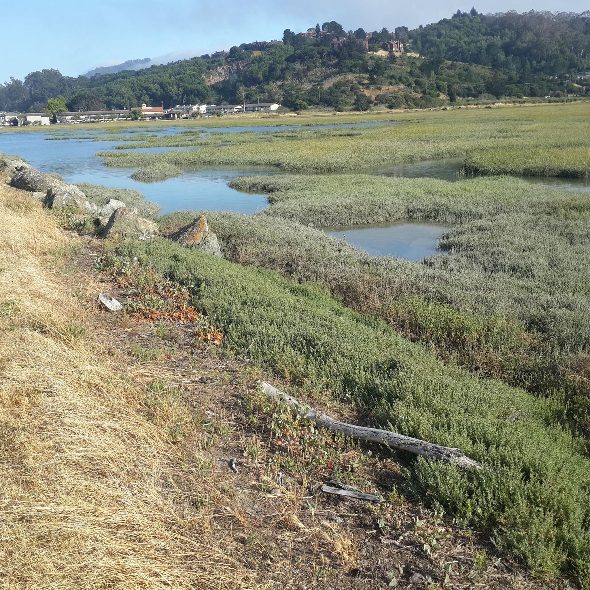
The Old Tiburon Rail Trail is a scenic 2.6-mile path along the San Francisco Bay, with breathtaking water views and Mt. Tamalpais. Starting at Blackie's Pasture, it winds past coastal mudflats full of wildlife before transitioning into an on-street bike lane leading to downtown Tiburon. It's a fantastic, smooth ride with historical markers, parks, and a ferry terminal at the trail's end, making it an ideal place to enjoy nature and local history for a day away from the big city.
0
1

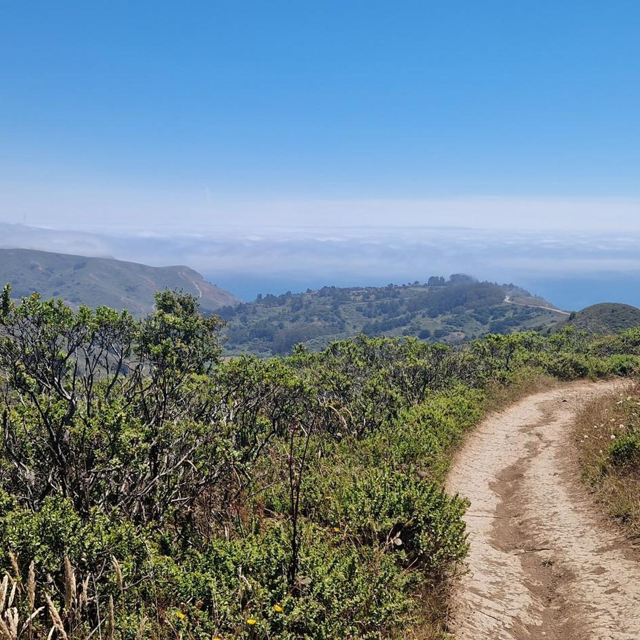
Set beneath the towering trees of Mount Tam, Rock Springs is the perfect jumping-off point for scenic hikes and quiet picnics—where trails, wildlife, and wide-open views begin.
0
0
Perched high on Mount Tam, the stone-built Mountain Theater offers sweeping views and timeless performances—where nature and art come together in one of California’s most breathtaking open-air stages.
0
0

The Pantoll Campground is a First-come/first-serve site in Mt. Tamalpais State Park. Each site has a barbeque grill, a fire ring, and a picnic table. You need to pay for the site at the Ranger Station as you enter the park.
1
0

Now open for more than a hundred years, this inn welcomes visitors high on the flanks of Mount Tamalpais. The guestrooms mostly face east, but the grounds include great vantages to the west over the Bay. There's also a restaurant, and this has been voted one of the most romantic spots in the Bay Area several times over.
0
0

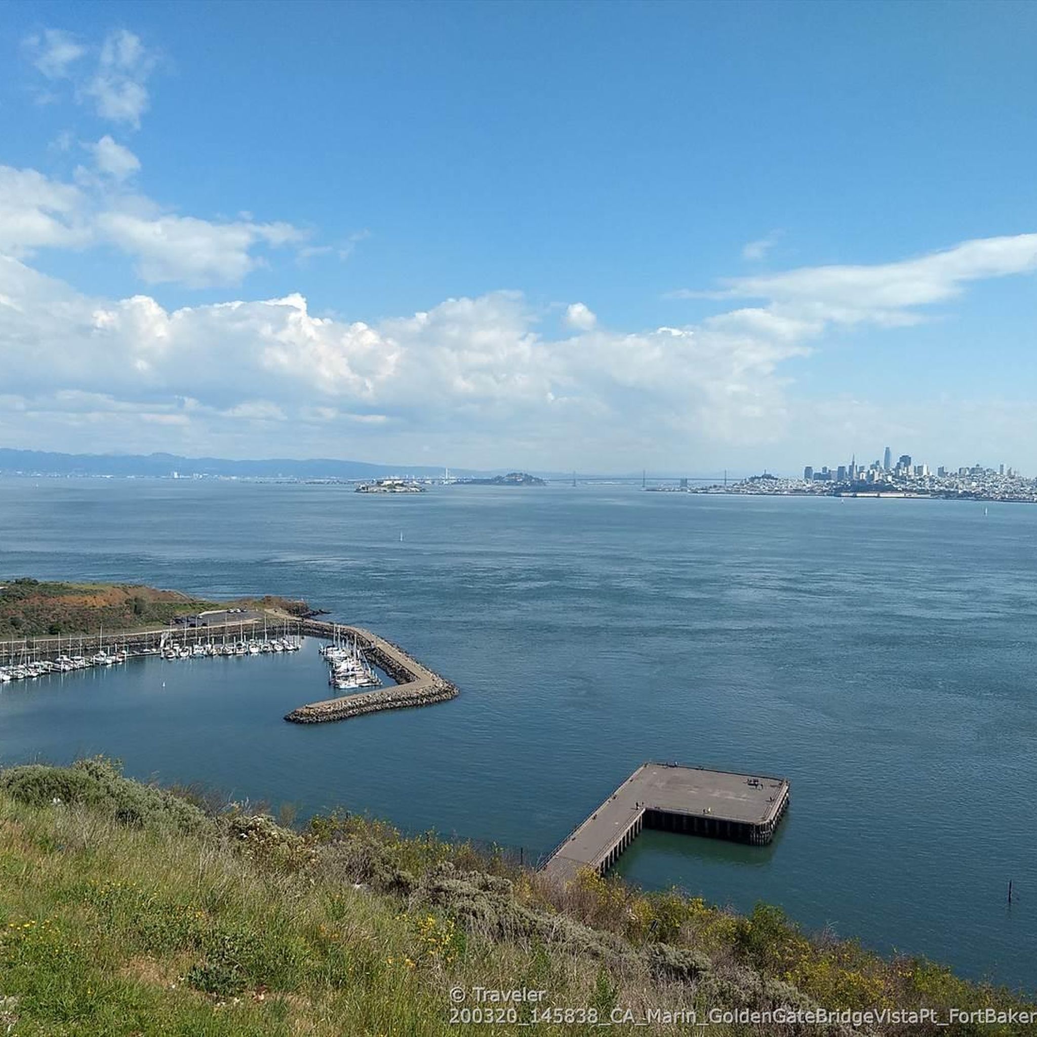
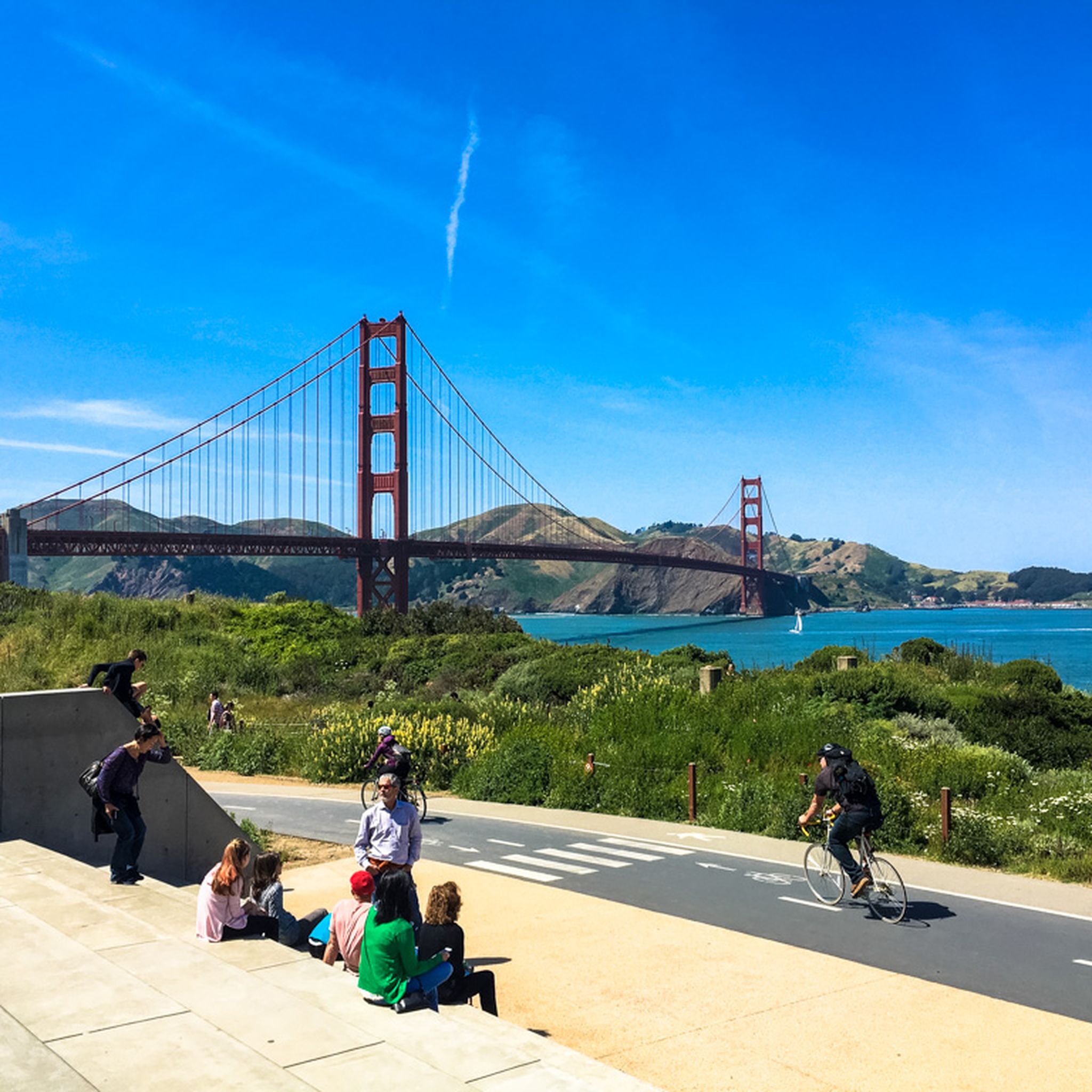
This overlook designed by Mr. Bowers is one of many highway improvements that are the result of his leadership, innovation and lifelong dedication to attractive highway design, landscaping, erosion control and roadside improvements. The view of the Golden Gate Bridge from here is simply magnificent.
3
0
This overlook designed by Mr. Bowers is one of many highway improvements that are the result of his leadership, innovation and lifelong dedication to attractive highway design, landscaping, erosion control and roadside improvements.
2
0
Frequently Asked Questions
How many road cycling routes are available around Alto?
Alto offers a wide selection of road cycling routes, with over 80 routes available. These routes cater to various preferences, from easy rides to more challenging climbs.
What kind of terrain can I expect on road cycling routes in Alto?
Road cycling routes around Alto are characterized by diverse terrain, ranging from rolling hills to dense redwood forests and scenic bay views. You'll find a mix of challenging climbs and more gentle stretches, providing a varied cycling experience.
Are there road cycling routes for different skill levels in Alto?
Yes, Alto provides routes for all abilities. There are 37 easy routes perfect for beginners or casual rides, 33 moderate routes for those seeking a bit more challenge, and 16 difficult routes for experienced cyclists looking for significant elevation gains.
What natural features and landmarks can I see while road cycling around Alto?
While cycling around Alto, you can encounter stunning natural features and landmarks. Highlights include the majestic Mount Tamalpais Summits, the serene Fern Creek Trail, and the impressive Cathedral Grove of Giant Redwoods. Many routes also offer views of the iconic Golden Gate Bridge.
Are there routes that offer panoramic views of the Bay Area?
Absolutely. Routes like Pan Toll Road via Panoramic Highway are renowned for their panoramic views of the surrounding landscapes, including the Bay Area. The Stanford Dish trail also offers exceptional views of the Santa Clara Valley and beyond.
Can I cycle through redwood forests in Alto?
Yes, several routes in the Alto region traverse beautiful redwood forests. For instance, the area around Crystal Springs is known for its gentle rolling hills and redwood forests, and Half Moon Bay via Higgins mixes climbs and descents through dense redwoods with ocean views.
What do other cyclists enjoy most about road cycling in Alto?
The komoot community highly rates road cycling in Alto, with an average score of 4.7 stars from over 150 reviews. Cyclists often praise the diverse terrain, from challenging climbs to scenic bay views, and the opportunity to explore redwood forests and open space preserves.
Are there any loop routes for road cycling in Alto?
Yes, Alto features several excellent loop routes. A popular choice is the Sir Francis Drake and Cross Marin Trail Loop, which traverses diverse landscapes. Another local favorite is the Pantoll Road – Mount Tamalpais Summits loop from Mill Valley, offering challenging climbs and stunning vistas.
What are some of the more challenging road cycling routes in Alto?
For experienced cyclists seeking a challenge, routes like the Pantoll Road – Mount Tamalpais Summits loop from Mill Valley offer significant elevation gains, leading towards Mount Tamalpais. The region is known for routes with over 900 meters of climbing, such as the PageMill - Skyline- Hwy 9 - Stevens Canyon - Mt Eden - Foothill route.
Are there any easy or beginner-friendly road cycling routes in Alto?
Beginners can enjoy easier routes like the Camino Alto Road – Sausalito Path loop from Corte Madera, which is an easy 23.5 km path. The Alpine/Portola/Sand Hill Loop is also a popular option for those new to the mid-peninsula, offering mild rolling hills near Stanford University.
What are the best seasons for road cycling in Alto?
The Alto region, particularly Palo Alto, offers good cycling conditions for much of the year due to its mild climate. Spring and fall generally provide ideal temperatures, while summer can be warm but still enjoyable, especially in the mornings. Winter rides are also possible, though some higher elevation areas might have cooler temperatures.
Can I find routes that combine coastal views with forest sections?
Yes, the Alto area is unique in offering routes that blend coastal scenery with forested sections. For example, the Half Moon Bay via Higgins route combines climbs and descents through dense redwoods with beautiful ocean views, providing a diverse and picturesque ride.
Most popular attractions around Alto

Get inspired with the komoot mobile app


Explore more
Browse the best Road cycling routes in other regions.
