The best road cycling routes around Altadena
4.6
(107)
4,279
riders
93
rides
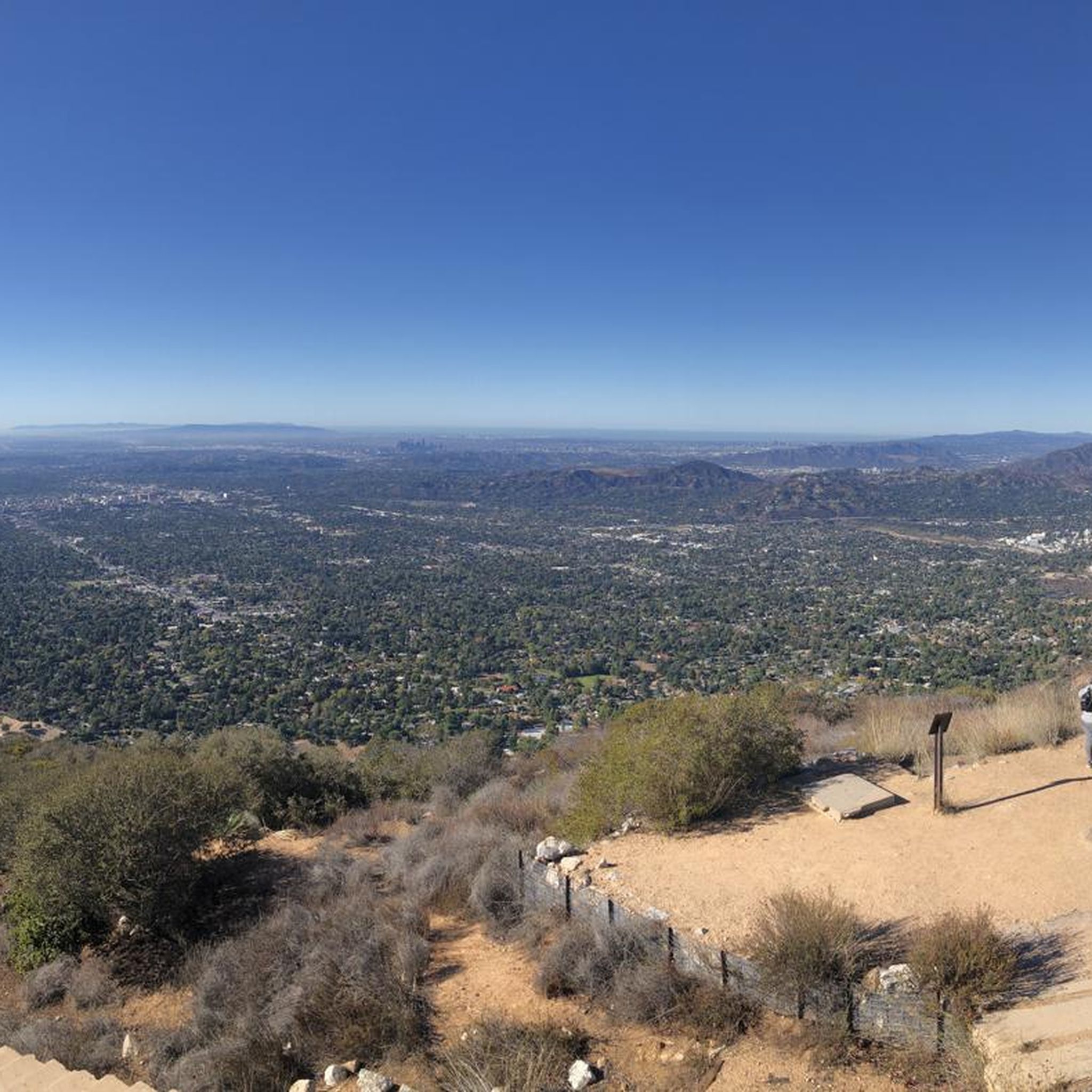
Road cycling routes around Altadena are situated at the base of the San Gabriel Mountains, offering diverse terrain for cyclists. The area features a mix of paved roads and some longer routes with unpaved segments, providing varied cycling experiences. This region is characterized by its foothills, tree-lined streets, and access to mountain trails within the Angeles National Forest, transitioning from urban settings to more rugged natural environments with varied elevation gains.
Best road cycling routes around Altadena
- The most popular road cycling route is Monrovia Recreation Park – Monrovia Historic Downtown loop from Allen, a 40.5 miles (65.3 km) trail that takes 2 hours 57 minutes to complete. This moderate route features varied elevation gains through the local landscape.
- Another top favourite among local road cyclists is Brookside Park loop from Allen, a moderate 26.1 miles (42.0 km) path. This route offers a mix of urban and natural scenery, including views of the foothills.
- Local road cyclists also love the Syndicate Coffee – Chantry Flats Trailhead loop from Allen, a 22.4 miles (36.1 km) trail leading through varied terrain with significant elevation gain, often completed in about 2 hours 18 minutes.
- Road cycling around Altadena is defined by its proximity to the San Gabriel Mountains, diverse terrain, and tree-lined streets. The network offers options for different ability levels, from easy rides to challenging climbs.
- The routes in Altadena are highly rated by the komoot community with an average score of 4.7 stars from over 100 reviews. More than 3,600 road cyclists have used komoot to explore Altadena's varied terrain.
Last updated: August 2, 2026
5.0
(1)
63
riders
24.3km
01:17
270m
270m
Easy road ride. Great for any fitness level. Mostly well-paved surfaces and easy to ride.
49
riders
40.4km
02:03
520m
520m
Moderate road ride. Good fitness required. Mostly well-paved surfaces and easy to ride.

Sign up for free
33
riders
40.2km
02:20
780m
780m
Moderate road ride. Good fitness required. Mostly well-paved surfaces and easy to ride.
16
riders
30.7km
01:59
680m
680m
Moderate road ride. Good fitness required. Mostly well-paved surfaces and easy to ride.
3.0
(1)
8
riders
24.5km
01:15
250m
250m
Easy road ride. Great for any fitness level. Mostly well-paved surfaces and easy to ride.
Get access to more routes and recommendations from other explorers.
Sign up for free
Already have an account?
Our route recommendations are based on thousands of hikes, rides, and runs completed by other people on komoot.
Start today with a free account
Your next adventure awaits.
Login or Signup

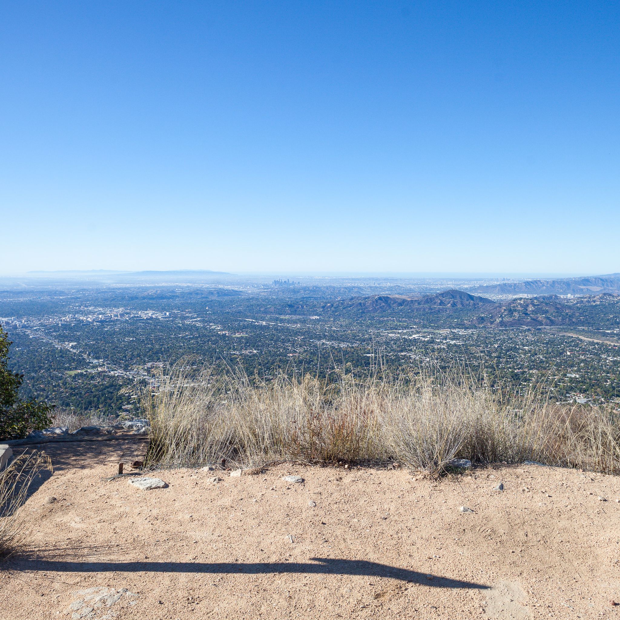
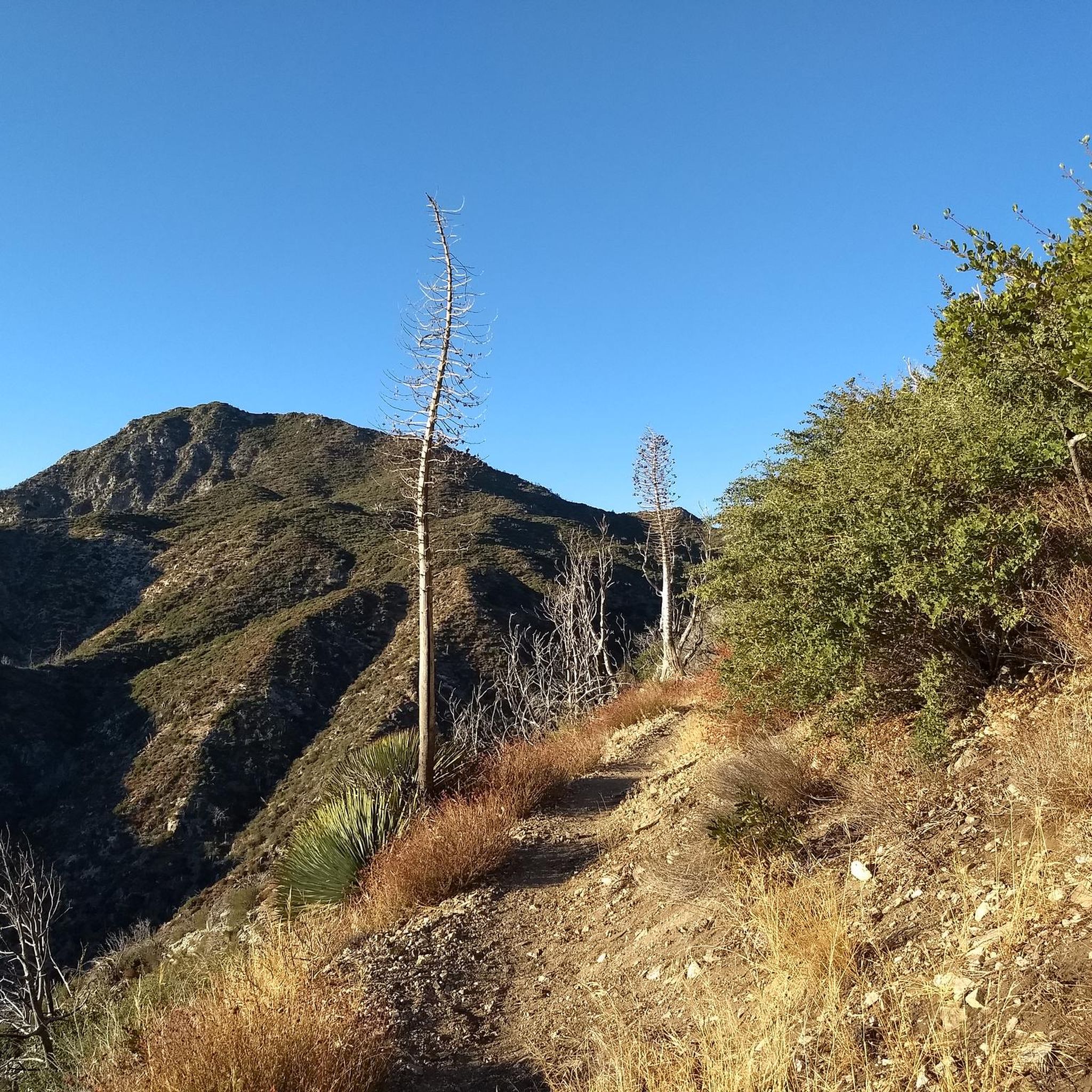
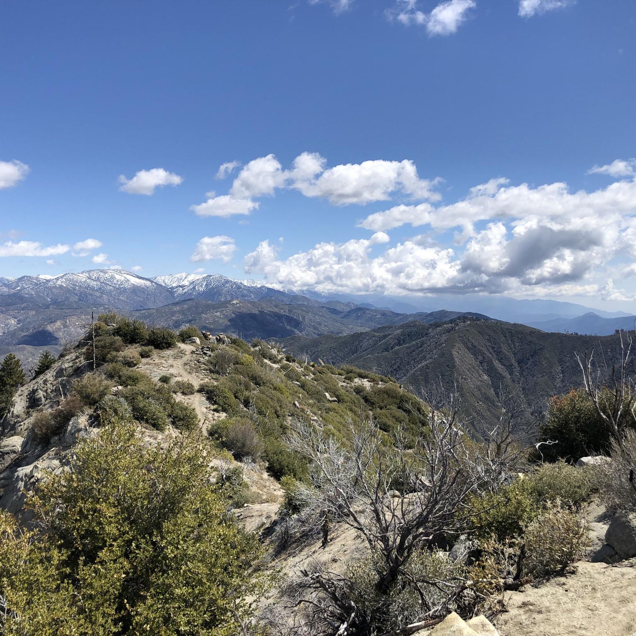
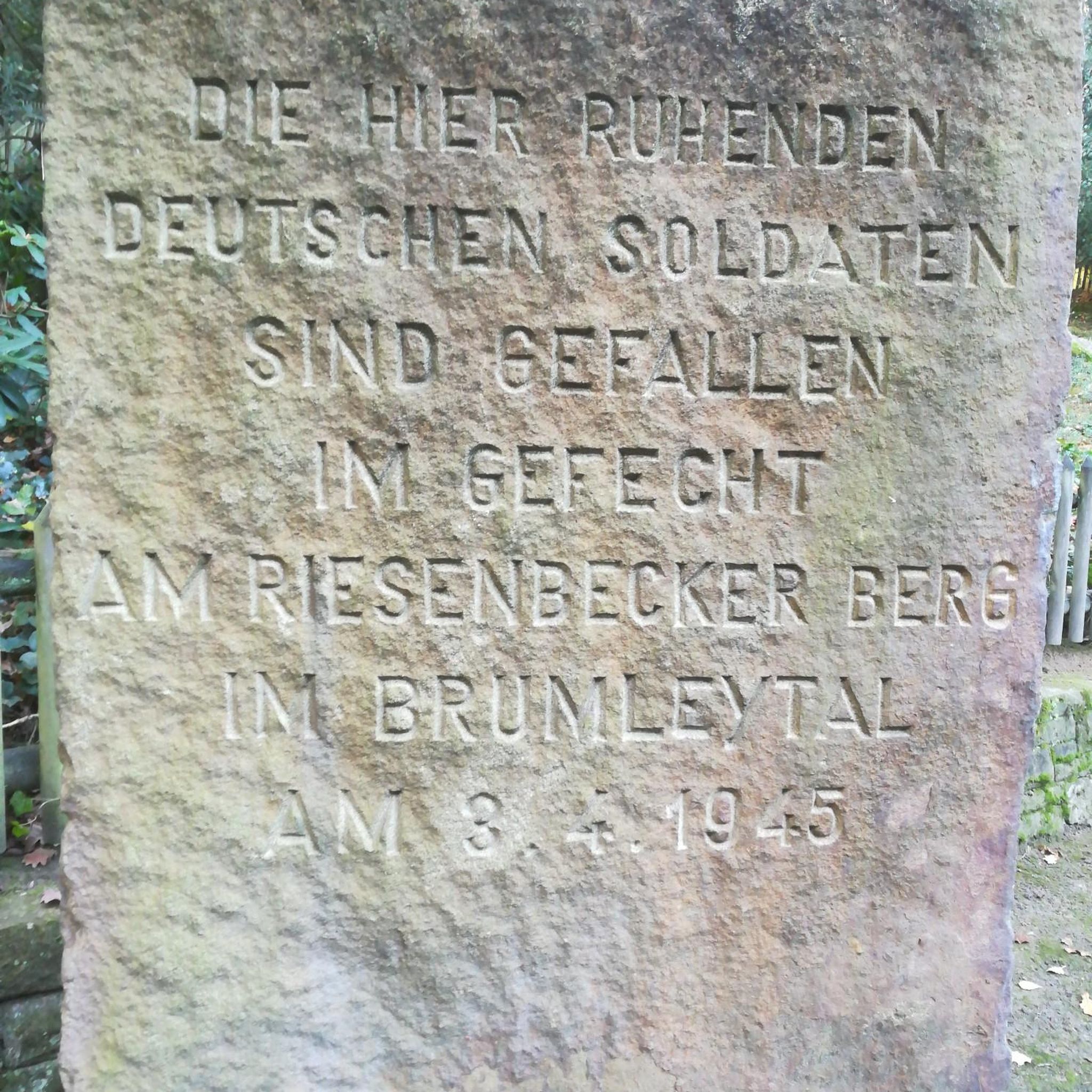
Other adventures around Altadena

Tips from the Community


Climb out of the Brookside Golf Club area and into the Pasadena suburban area. This climb has a nice shoulder and is lined with trees.
0
0
Brookside Park is Pasadena's largest fully maintained park at 61.1 acres. It sits south of Rose Bowl Stadium with tons of parking off Arroyo Boulevard. The park features a lighted baseball diamond, two softball diamonds, and a large, lighted, multi-purpose field for soccer and flag football. There is also a speaker's platform with permanent seating, numerous picnic tables, barbecue pits, a play area, restrooms, and drinking fountains.
0
0

Fun lil park Loop :) easy mostly flat , I’m A beginner and I had fun :)
0
0
Syndicate Coffee in Sierra Madre serves up a blend of coffee, baked goods, and meals every day from 7:30 AM to 4 PM. This spot is for foodies, pastry lovers, and coffee enthusiasts.
0
0

Eagle Rock is a prominent rock feature that towers over a neighborhood of the same name. If you are here at the right time you will be able to see how the rock got its name, as the shadows created by an overhang appear in the shape of a soaring eagle.
0
0
Chantrey Flats is the natural end for those riding the Sturtevant Trail. If you shuttled to Mt. Wilson with a friend then this is likely the end of the line for you. Others might need to ride back down to Altadena if they took the shuttle offered by SCOAoutdoors.net. And still others might be climbing their way back up to the top via the myriad of roads and trails that depart from this picnic area.
0
0
Brookside Park is Pasadena's largest fully maintained park at 61.1 acres. It sits south of Rose Bowl Stadium with tons of parking off Arroyo Boulevard. The park features a lighted baseball diamond, two softball diamonds, and a large, lighted, multi-purpose field for soccer and flag football. There is also a speaker's platform with permanent seating, numerous picnic tables, barbecue pits, a play area, restrooms, and drinking fountains.
0
0
Frequently Asked Questions
How many road cycling routes are there in Altadena?
Altadena offers a wide selection of road cycling routes, with over 90 different options available. These routes cater to various preferences, from easy rides to more challenging climbs.
What are the difficulty levels of road cycling routes in Altadena?
The road cycling routes in Altadena offer a range of difficulties. You'll find approximately 34 easy routes, 50 moderate routes, and 12 difficult routes, ensuring options for all skill levels.
Are there paved road cycling routes in Altadena?
Yes, many of Altadena's road cycling routes feature paved surfaces, especially for easier and moderate rides. However, some longer, more strenuous options, particularly those venturing higher into the mountains, may include unpaved segments.
What kind of terrain can I expect on Altadena's road cycling routes?
Altadena's road cycling routes offer diverse terrain, transitioning from urban settings with tree-lined streets and historic architecture to more rugged natural environments at the base of the San Gabriel Mountains. You'll experience foothills, residential areas, and access to mountain trails.
Are there challenging road cycling routes with significant elevation gain?
Absolutely. For experienced cyclists seeking a challenge, routes like the Mount Wilson Loop cover approximately 76.8 km with nearly 2,000 meters of elevation gain. Other options, such as longer versions of the Overlook on Cerro Negro – Brookside Park loop, can involve up to 1500 feet of elevation gain.
What natural features or landmarks can I see along Altadena's road cycling routes?
Many routes offer views of the majestic San Gabriel Mountains. You can also find natural attractions like the Eaton Canyon Waterfall and various viewpoints such as Seven Trees Overlook or View from Mount Lukens. The Mount Lowe Railway Ruins also offer a historical landmark with panoramic views.
Are there any loop road bike trails in Altadena?
Yes, Altadena features several excellent loop routes. Popular options include the Old Town Monrovia – Monrovia Recreation Park loop from Allen, the Brookside Park – Prime Pizza loop from Allen, and the Brookside Park loop from Pasadena Council District 1, which takes you through local parks and residential areas.
Is Altadena suitable for family-friendly road cycling?
Yes, Altadena offers options for family-friendly cycling, particularly on easier, paved routes through parks and residential areas. Parks like Loma Alta Park are ideal for families with playgrounds and open spaces. Community bike tours, such as those organized by Altadena Heritage, also provide a relaxed way to explore the area's charm.
Where can I find parking for Altadena road bike trails?
Parking is generally available near popular trailheads and parks in Altadena. Locations like Farnsworth Park and Loma Alta Park offer facilities that can serve as convenient starting points for your rides.
Are there community bike rides or clubs in Altadena?
Altadena has an active cycling community. Groups like Altadena Heritage and the Altadena Bike Club frequently organize community bike tours, such as the Golden Poppy Community Bike Tour. Other groups like Garvey Cycling and Pasadena bikers over 50 Meetup Group also organize regular rides, offering opportunities to cycle with others and explore the area. You can find more information about community rides on the Altadena Heritage website.
What do other road cyclists enjoy the most about road cycling in Altadena?
The road cycling routes in Altadena are highly rated by the komoot community, with an average score of 4.7 stars from over 100 reviews. Cyclists often praise the diverse terrain, the beautiful views of the San Gabriel Mountains, and the mix of urban and natural scenery that the area provides.
What is the best time of year for road biking in Altadena?
Altadena generally offers good road cycling conditions for much of the year due to its mild Southern California climate. Spring and fall are particularly pleasant with moderate temperatures. Winter can also be good, though cooler, while summer can be hot, making early morning or late afternoon rides preferable.
Most popular routes around Altadena
Most popular attractions around Altadena

Get inspired with the komoot mobile app


Explore more
Browse the best Road cycling routes in other regions.
