The best MTB trails around Agoura Hills
4.6
(20)
638
riders
11
rides
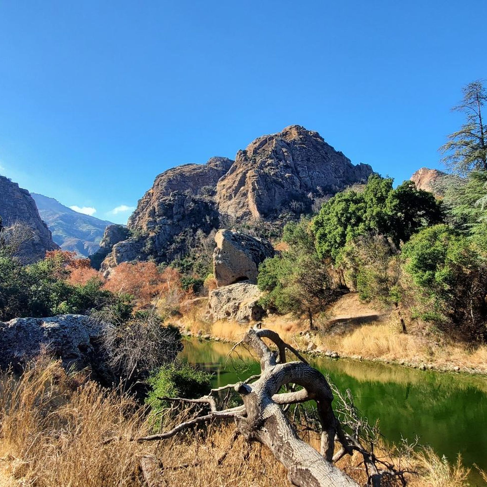
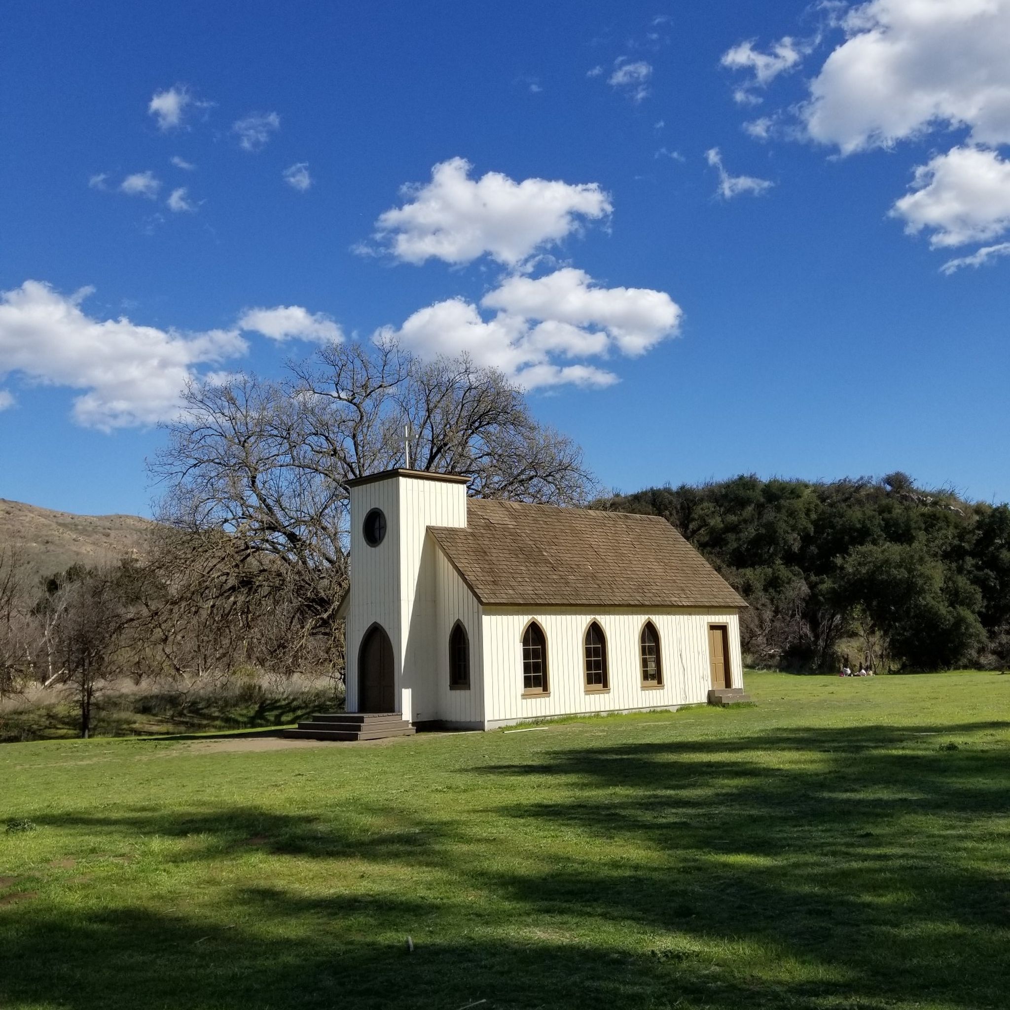
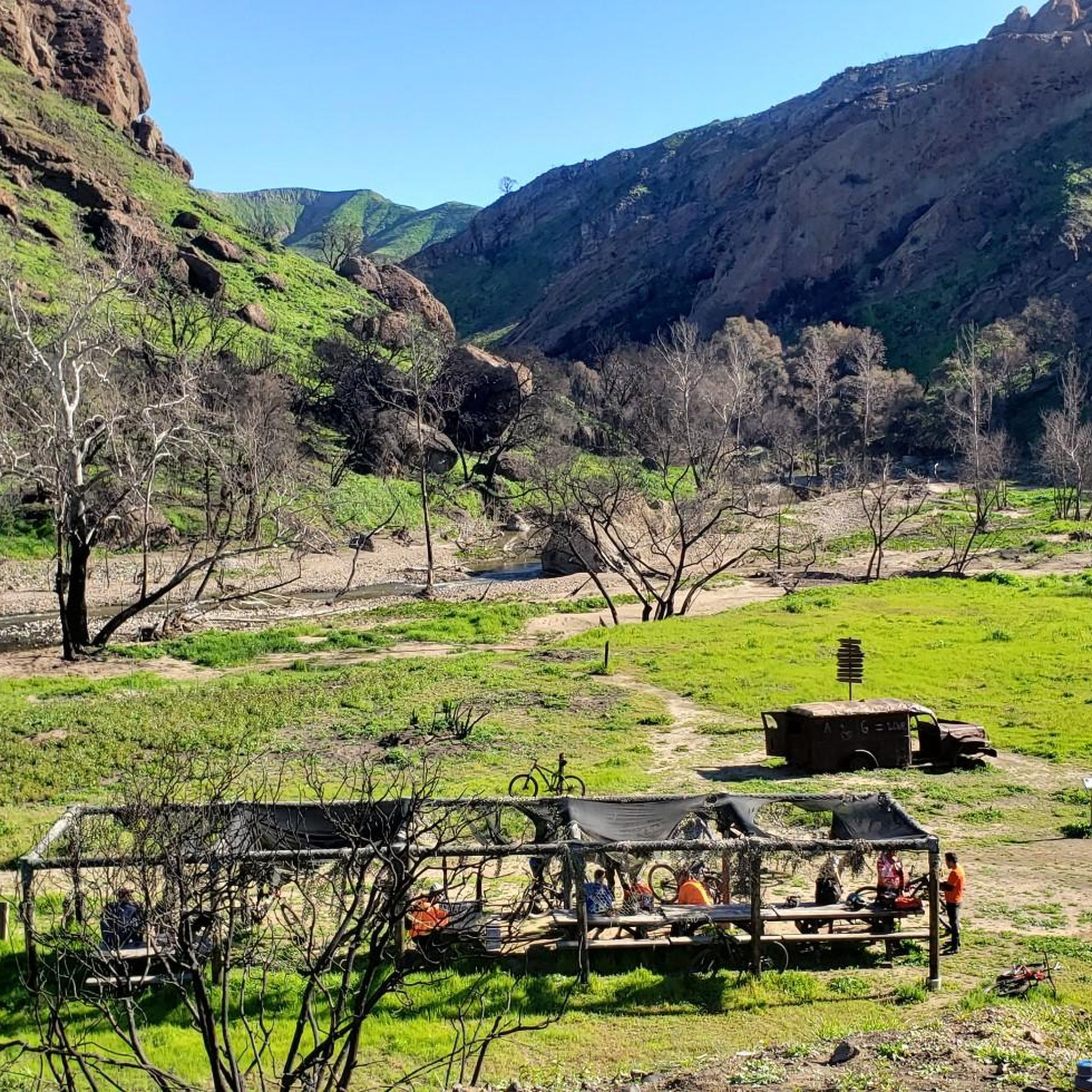
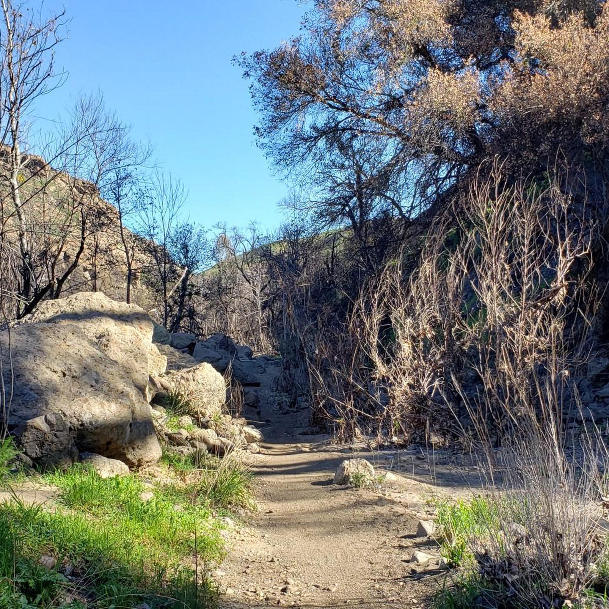
Mountain biking around Agoura Hills offers access to a diverse landscape situated between the Simi Hills and the Santa Monica Mountains. The region features rolling hills, oak woodlands, grasslands, and dramatic canyons, providing varied terrain for riders. Its location within the Santa Monica Mountains National Recreation Area ensures an extensive network of trails. This area is characterized by chaparral-covered hills and high ridgelines that offer expansive views.
Best mountain bike trails around Agoura Hills
- The most popular mountain bike trail…
Last updated: October 2, 2026

4.0
(2)
18
riders
20.4km
02:01
410m
410m
Moderate mountain bike ride. Good fitness required. Suitable for all skill levels.
5.0
(2)
42
riders
30.9km
02:50
570m
570m
Moderate mountain bike ride. Good fitness required. Suitable for all skill levels.

15
riders
20.6km
01:52
370m
370m
Moderate mountain bike ride. Good fitness required. Suitable for all skill levels.
10
riders
Moderate mountain bike ride. Good fitness required. Suitable for all skill levels.
5.0
(1)
10
riders
21.6km
01:45
300m
300m
Moderate mountain bike ride. Good fitness required. Suitable for all skill levels.
Get access to more routes and recommendations from other explorers.
Already have an account?
Our route recommendations are based on thousands of hikes, rides, and runs completed by other people on komoot.
Start today with a free account
Your next adventure awaits.

Tips from the Community

China Flat is a scenic plateau at around 2,000 ft elevation. It is full of native oak woodlands, chaparral-covered meadows, and striking sandstone outcroppings. There are several trails that cut through the land.
0
0

Cheeseboro Canyon Trailhead features a parking lot, toilets and a water fountain.
0
0

This trail presents a challenging incline of 400 feet in just about a mile. The rewarding views of the area and the vibrant display of wildflowers make it well worth the effort.
0
0
This trail presents a challenging incline of 400 feet in just about a mile. The rewarding views of the area and the vibrant display of wildflowers make it well worth the effort.
0
0

The Cheeseboro Ridge Trail parallels the Cheeseboro Canyon Trail to the West. Both trails are popular with cyclists and long distance runners.
0
0
This is the end point for the Cheeseboro Canyon Trail. Now you can either head down the Sheep Corral Trail or turn right to connect to the Cheeseboro Ridge Trail that loops around back down to the Cheeseboro Canyon trailhead.
0
0
The Cheeseboro Canyon trail is popular with runners, hikers and mountain bikers. The whole canyon system is a super place to run with a variety of routes. If you include Cheeseboro Ridge then you have a perfect nine mile loop.
0
0
The gently rounded hills and canyons of Cheeseboro and Palo Comado are a beautifully formed section of the Santa Monica Mountains and provides a popular destination for hikers, bikers, and runners. There are parking and restroom facilities here.
0
0
Frequently Asked Questions
How many mountain bike trails are available in Agoura Hills?
Agoura Hills offers a wide selection of mountain bike trails, with nearly 80 routes available. These trails cater to various skill levels, from easy paths to more challenging rides, ensuring there's something for every mountain biker.
What kind of terrain can I expect on mountain bike trails in Agoura Hills?
The terrain in Agoura Hills is incredibly diverse, characterized by rolling hills, oak woodlands, grasslands, and dramatic canyons. You'll encounter everything from smooth fire roads to technical singletrack with rocky sections, especially in areas like Cheeseboro and Palo Comado Canyons. High ridgelines offer sweeping vistas, while chaparral-covered hills add to the scenic variety.
Are there any family-friendly mountain bike trails in Agoura Hills?
Yes, Agoura Hills has several family-friendly options. For an easier ride, consider the Parking lot and bathrooms – Cheeseboro Canyon Trail loop from Rasmussen Open Space, which is rated as easy. The Cheeseboro Canyon and Ridge Loop is also an easy route, perfect for a shorter outing with the family.
Where can I find challenging mountain bike routes in Agoura Hills?
For advanced riders seeking a challenge, the region offers routes with significant elevation gains and technical features. The area around Dead Cow – China Flats – Suicide is known for its challenging loops, featuring large rocks on both climbs and descents, and downhill sections with non-mandatory jumps and drops. While not explicitly listed in the guide data, routes like China Flat plateau – Sheep Corral Trail loop from Fran Pavley Meadow offer substantial climbs and distances for experienced riders.
Are there any circular mountain bike routes in Agoura Hills?
Absolutely! Many of the trails in Agoura Hills are designed as loops, allowing you to start and end at the same point. Popular circular routes include the Cheeseboro Loop – Santa Monica National Recreation Area and the Cheeseboro and Palo Comado Canyons Loop, both offering varied terrain and scenic views.
What natural features or landmarks can I see along the mountain bike trails?
Agoura Hills is rich in natural beauty and interesting landmarks. While riding, you might encounter oak woodlands, grasslands, and dramatic canyons. Notable attractions nearby include the scenic Malibu Creek Rock Pools, the historic King Gillette Ranch, and various viewpoints offering expansive views of the Santa Monica Mountains and even the coast on clear days. Ladyface Mountain also provides panoramic views of Los Angeles County.
What do other mountain bikers enjoy most about the trails in Agoura Hills?
The mountain bike trails in Agoura Hills are highly rated by the komoot community, with an average score of 4.6 stars from over 24 reviews. Riders frequently praise the diverse terrain, from rolling hills to technical singletrack, and the stunning scenic views of the Santa Monica Mountains. The extensive network of trails through pristine canyons and oak woodlands is also a major draw.
What is the best time of year to go mountain biking in Agoura Hills?
Agoura Hills offers good mountain biking conditions for much of the year. The cooler, drier months from fall through spring (roughly October to May) are generally ideal, as temperatures are more moderate and the landscape is often greener after any winter rains. Summers can be hot, so early morning rides are recommended during those months.
Are there any dog-friendly mountain bike trails in Agoura Hills?
Many trails within the Santa Monica Mountains National Recreation Area, which encompasses Agoura Hills, are dog-friendly, though regulations can vary by specific park or trail section. It's always best to check local signage or the park's official website for the most current rules regarding dogs on trails, especially concerning leash requirements.
Is parking available at the trailheads in Agoura Hills?
Yes, parking is generally available at the main trailheads for mountain biking in Agoura Hills. For example, routes like the Parking lot and bathrooms – Cheeseboro Canyon Trail loop from Rasmussen Open Space explicitly mention parking facilities. Areas like Cheeseboro and Palo Comado Canyons, and Paramount Ranch, typically have designated parking areas for trail access.
Can I reach mountain bike trails in Agoura Hills using public transport?
While Agoura Hills is accessible by public transport, reaching specific trailheads directly can be challenging. Public transportation options might get you to the general vicinity, but a car is generally recommended for convenient access to most mountain biking trailheads in the Santa Monica Mountains National Recreation Area.
Are there any permits required for mountain biking in Agoura Hills?
Generally, permits are not required for mountain biking on the public trails within the Santa Monica Mountains National Recreation Area around Agoura Hills. However, it's always a good practice to check for any specific regulations or temporary closures before heading out, especially for trails within state parks or private lands.
Most popular routes around Agoura Hills
Most popular attractions around Agoura Hills

Get inspired with the komoot mobile app


Explore more
Browse the best MTB trails in other regions.
