The best road cycling routes around Walnut Creek
4.5
(141)
4,984
riders
29
rides
Road cycling around Walnut Creek offers diverse terrain, from challenging mountain ascents to accessible paved trails. The region is characterized by the prominent Mount Diablo, extensive regional parks like Diablo Foothills and Las Trampas, and a network of multi-use paths. These features provide varied cycling experiences, including significant elevation gains and long, flat stretches.
Best road cycling routes around Walnut Creek
- The most popular road cycling route is Mount Diablo via Summit Road, a 30.1 miles (48.5 km) trail that takes 2 hours 56 minutes to complete. This route features continuous climbing up Mount Diablo, offering panoramic views of the Bay Area.
- Another top favourite among local road cyclists is Iron Horse Trail – Iron Horse Trail bridge loop from Contra Costa Centre, an easy 21.6 miles (34.7 km) path. This route follows a flat, paved surface, ideal for less strenuous rides.
- Local road cyclists also love the Sunol Depot loop, a 65.4 miles (105.3 km) trail leading through scenic rolling hills and historic landscapes, often completed in about 4 hours 25 minutes.
- Road cycling around Walnut Creek is defined by challenging mountain climbs, extensive regional park trails, and accessible paved multi-use paths. The network offers options for various ability levels, from easy recreational rides to advanced ascents.
- The routes in Walnut Creek are highly rated by the komoot community with an average score of 4.5 stars from more than 30 reviews. More than 1,300 road cyclists have used komoot to explore Walnut Creek's varied terrain.
Last updated: May 10, 2026
5.0
(9)
277
riders
48.5km
02:57
1,140m
1,140m
Hard road ride. Very good fitness required. Mostly well-paved surfaces and easy to ride.
32
riders
105km
04:25
600m
600m
Moderate road ride. Good fitness required. Mostly well-paved surfaces and easy to ride.

Sign up for free
4.8
(4)
577
riders
59.8km
03:23
1,200m
1,200m
Hard road ride. Very good fitness required. Mostly well-paved surfaces and easy to ride.
5.0
(2)
257
riders
90.3km
04:15
1,050m
1,050m
Hard road ride. Very good fitness required. Mostly well-paved surfaces and easy to ride.
4.3
(3)
113
riders
Easy road ride. Great for any fitness level. Mostly well-paved surfaces and easy to ride.
Get access to more routes and recommendations from other explorers.
Sign up for free
Already have an account?
Our route recommendations are based on thousands of hikes, rides, and runs completed by other people on komoot.
Start today with a free account
Your next adventure awaits.
Login or Signup
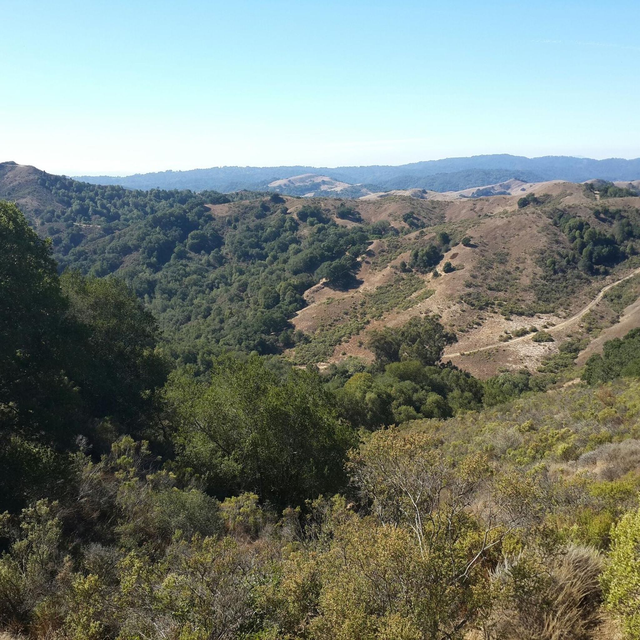
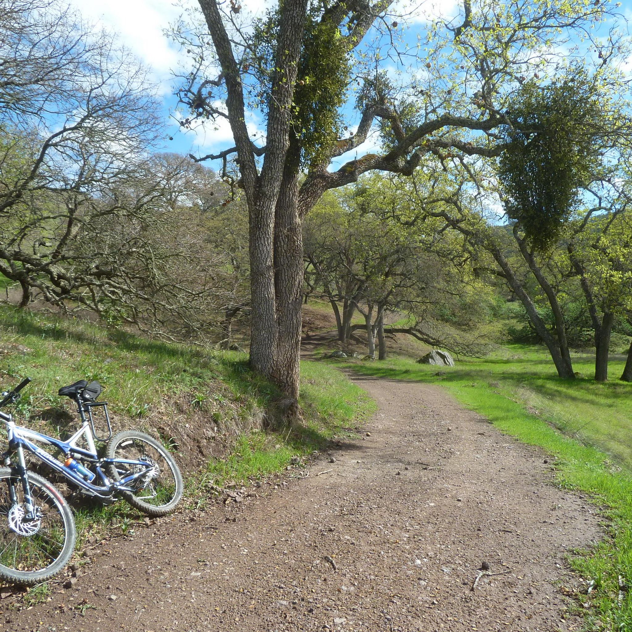
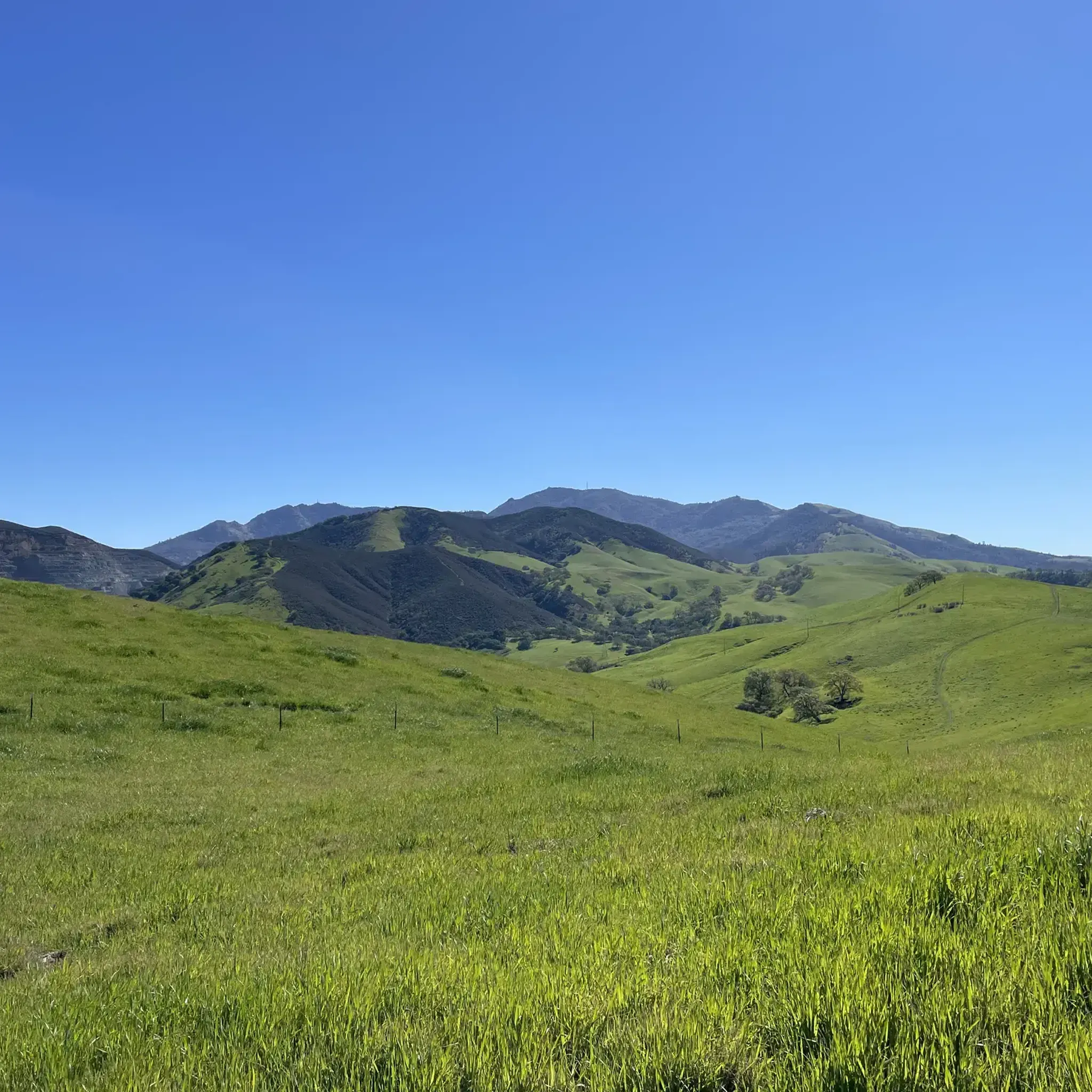
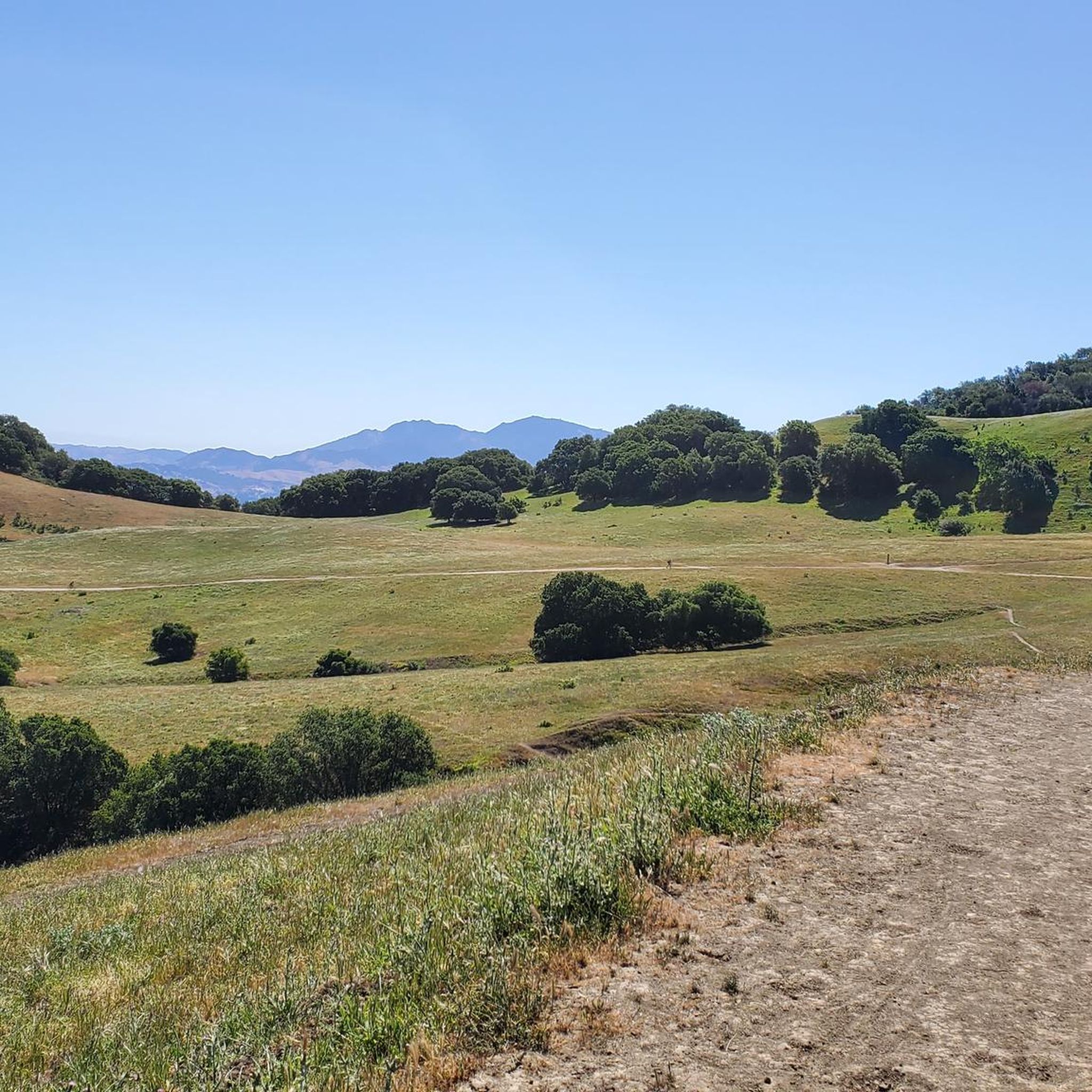

Tips from the Community

Mount Diablo, is the Bay Area second-highest peak at 1173m (3849ft). The challenging climb features constantly fluctuating gradients averaging 8%, with tough sections up to 18% and a brutal 23% finish in the last 200m. The equally demanding descent requires good bike handling due to tight corners, potholes, and strong winds. The road to the top is open daily from 8 AM till sunset.
0
0

The Museum of the San Ramon Valley was established in 1985 and sits in a restored 1891 Southern Pacific Railroad Depot with the Victorian-era “Combination Station No. 22” listed on the National Register of Historic Places. The Official Visitor Information Center offers maps, guides, and knowledgeable staff, along with free parking and restrooms located in the caboose.
1
0

The Iron Horse Trail is a 32-mile multi-path that connects the towns of Concord and Pleasanton. It follows the route of the abandoned Southern Pacific Railroad. With its access to schools, business centers, and parks, the path is popular with commuters and recreationalists.
0
0
This charming lake sits along the Ygnacio Canal Trail at Heather Farm Park. The park features two lakes, open grassy areas, playgrounds, picnic tables, and other facilities. The lake and surrounding areas are a great spot to take a break while cycling the Ygnacio Canal Trail.
0
0


A natural lake, mostly used for fishing, that has the paved Ygnacio Canal Trail on the west side and some unpaved trails along the east.
0
0

One of the fiercest peaks in the Bay. Always worth the effort. It’s often much cooler on the summit than the rest of the trails — there is a water spigot up there to fill up bottles. Also a store is open at some times. Don’t bank on it.
0
0
Danville is situated in the heart of the San Ramon Valley and has been voted "the safest town in California" for five consecutive years. It offers trendy restaurants, boutiques, and a thriving art scene.
0
0
Frequently Asked Questions
How many road cycling routes are available in Walnut Creek?
Walnut Creek offers over 30 road cycling routes, catering to various skill levels. These include challenging mountain ascents, scenic loops through rolling hills, and accessible paved trails.
What kind of terrain can I expect on road cycling routes in Walnut Creek?
The region provides diverse terrain, from the continuous climbing and panoramic views of Mount Diablo to the long, flat, and paved surfaces of the Iron Horse Trail and Contra Costa Canal Trail. You'll find everything from significant elevation gains to less strenuous, easy rides.
Are there easy road cycling routes suitable for beginners or families in Walnut Creek?
Yes, for easier rides, the Iron Horse Trail – Iron Horse Trail bridge loop from Contra Costa Centre is an excellent option. It follows a flat, paved surface, ideal for less strenuous experiences. The Contra Costa Canal Trail also offers a mostly flat, paved path perfect for easy rides with almost no climbing.
Where can I find challenging road cycling routes with significant elevation gain?
For a demanding ride, consider the Mount Diablo via Summit Road route. It features continuous climbing up Mount Diablo, with sections reaching up to an 18% gradient and a brutal 23% finish, offering breathtaking panoramic views of the Bay Area.
Are there any scenic loop routes for road cycling in the area?
Absolutely. The Sunol Depot loop is a popular choice, leading through scenic rolling hills and historic landscapes. Another option is the Lafayette – Leigh Creekside Park loop from Pleasant Hill, which offers a moderate challenge.
What are some notable natural features or attractions I might see along the routes?
Many routes offer views of iconic natural features. Mount Diablo State Park is a major draw, providing expansive views. You might also encounter the striking landscapes and geological formations of Diablo Foothills Regional Park. For specific points of interest, consider visiting the Lafayette Reservoir Recreation Area or exploring the unique Sandstone caves in Castle Rock formations.
What do other road cyclists enjoy most about road cycling in Walnut Creek?
The road cycling routes in Walnut Creek are highly rated by the komoot community, with an average score of 4.5 stars from over 30 reviews. Cyclists often praise the diverse terrain, from challenging climbs to accessible paved trails, and the stunning panoramic views, especially from Mount Diablo.
Are there any regional parks accessible by road bike?
Yes, regional parks like Diablo Foothills Regional Park and Las Trampas Regional Wilderness contribute significantly to Walnut Creek's appeal for outdoor activities, including bicycling. Diablo Foothills offers striking landscapes at the threshold of Mount Diablo, while Las Trampas provides rugged terrain and views of Mount Diablo and the Carquinez Straits.
What is the best time of year for road biking in Walnut Creek?
Walnut Creek generally offers favorable conditions for road cycling throughout much of the year. Spring and fall provide pleasant temperatures, while clear winter days can offer exceptional visibility for panoramic views from higher elevations like Mount Diablo. Summer can be warm, so early morning rides are often preferred.
Are there any long-distance road cycling options in Walnut Creek?
For longer rides, the Sunol Depot loop covers 65.4 miles (105.3 km) through scenic rolling hills. The Iron Horse Trail bridge – Iron Horse Trail junction loop from Walnut Creek is another substantial option at over 56 miles (90 km).
Where can I find more information about Walnut Creek's commitment to cycling?
Walnut Creek actively promotes bicycle use for both recreation and transportation. You can find more general information about nature and outdoor activities in the area by visiting visitwalnutcreek.org.
Most popular routes around Walnut Creek
Most popular attractions around Walnut Creek

Get inspired with the komoot mobile app


Explore more
Browse the best Road cycling routes in other regions.
