The best road cycling routes around San Ramon
4.8
(68)
4,140
riders
28
rides
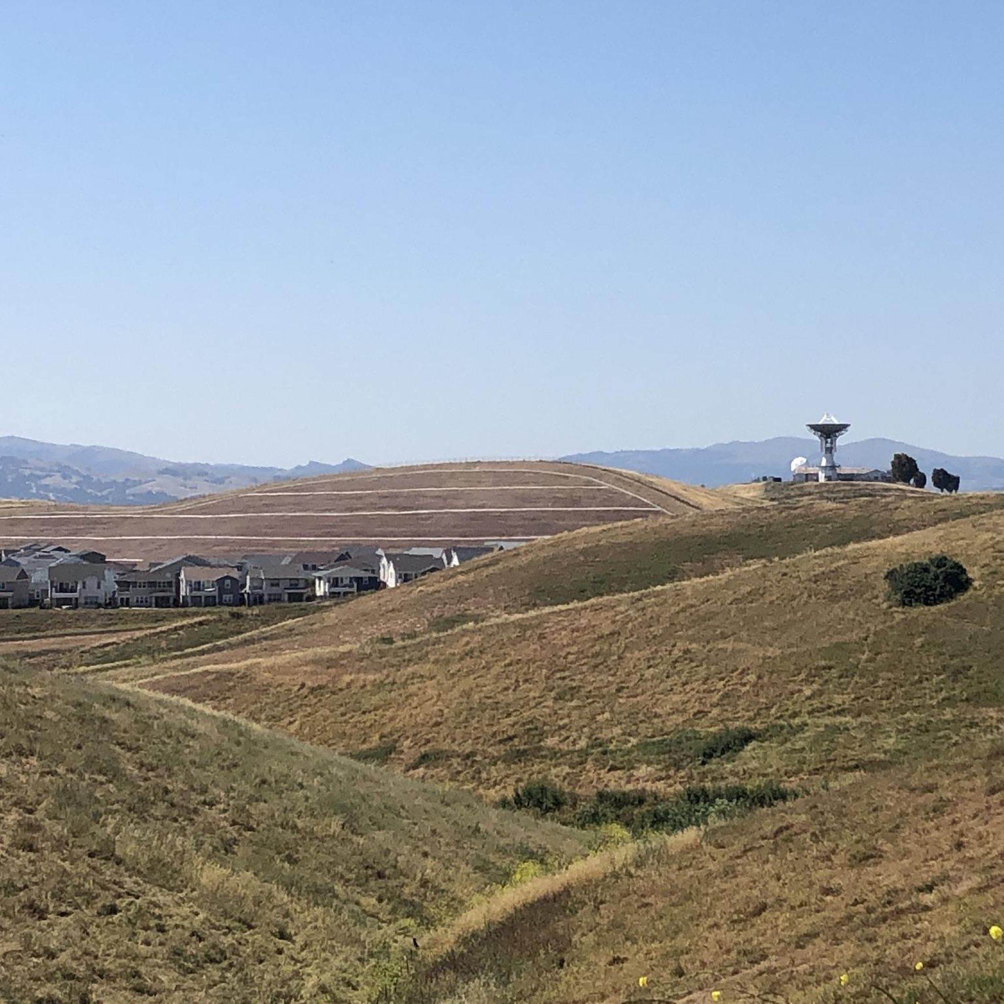
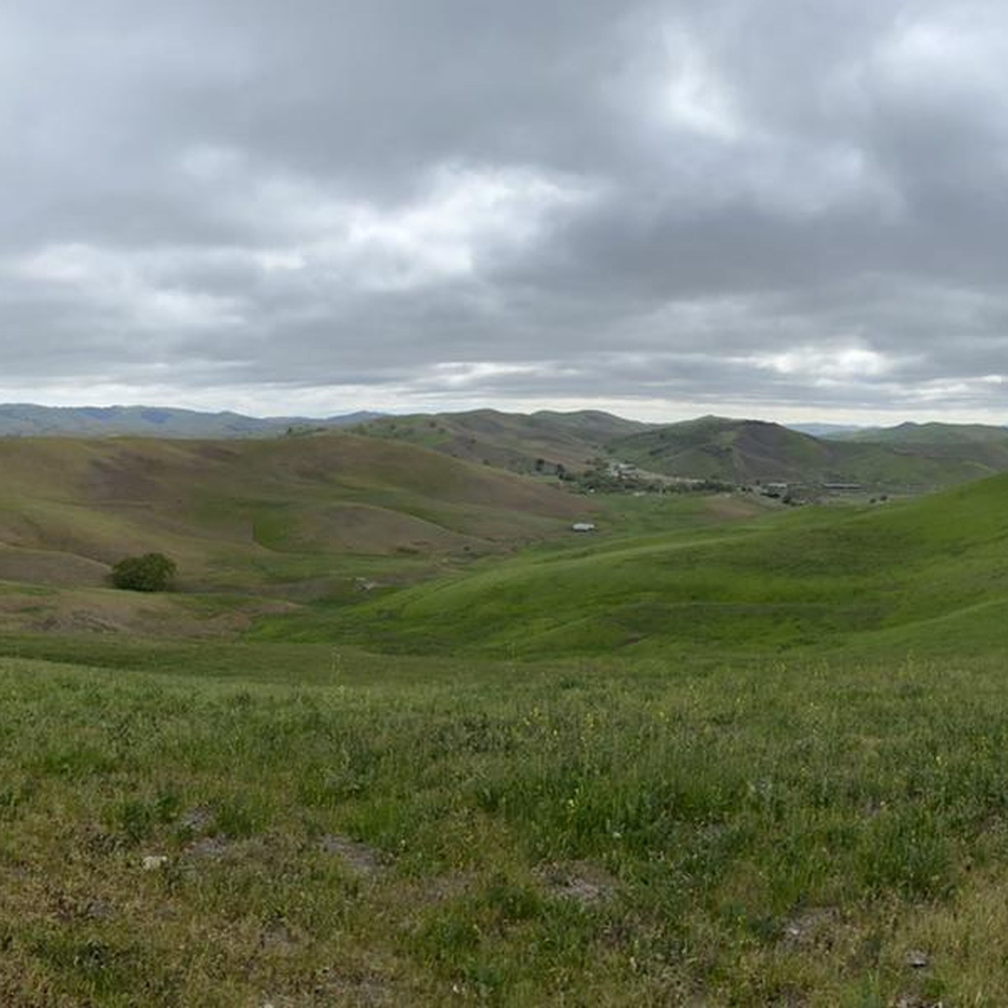
Road cycling around San Ramon offers diverse routes across a landscape characterized by gentle rolling hills and extensive trail systems. The region features well-maintained, often paved paths, providing access to natural vistas and open spaces. Cyclists can experience varied terrain, from flat sections along former railway lines to routes with significant elevation gains, often with views of Mount Diablo.
Best road cycling routes around San Ramon
- The most popular road cycling route is Dougherty Valley loop, an easy 24.0 miles (38.6 km) trail that takes 1 hour 42 minutes to complete. This route features paved surfaces and rolling hills.
- Another top favourite among local road cyclists is Iron Horse and Tassajara Loop, a moderate 32.2 miles (51.8 km) path. This route provides varied East Bay landscapes with moderate elevation gain.
- Local road cyclists also love the Iron Horse Trail and Danville Loop, an easy 17.7 miles (28.4 km) trail leading through the Iron Horse Trail corridor, often completed in about 1 hour 17 minutes.
- Road cycling around San Ramon is defined by rolling hills, the extensive Iron Horse Trail, and views of Mount Diablo. The network offers options for various ability levels, from easy, flat paths to more challenging routes with significant climbs.
- The routes in San Ramon are highly rated by the komoot community with an average score of 5.0 stars from 8 reviews. More than 600 road cyclists have used komoot to explore San Ramon's varied terrain.
Last updated: August 3, 2026
5.0
(4)
62
riders
38.6km
01:42
280m
280m
The Dougherty Valley loop offers a wonderfully smooth and scenic road cycling experience, perfect for a relaxed outing. You'll cruise along mostly well-paved paths, enjoying pleasant views of the San Ramon Valley and its rolling hills. The route integrates seamlessly with sections of the Iron Horse Trail, providing a wide and flat pathway, and on clear days, you might even spot Mt. Diablo in the distance. This easy 24.0-mile (38.6 km) ride with just 916 feet (279 metres) of elevation gain is designed for comfortable cycling, taking approximately 1 hour and 41 minutes.
Planning your visit to this accessible route is straightforward, with parking generally available in the surrounding San Ramon area. The gentle terrain and easy difficulty make it suitable for cyclists of all fitness levels, including beginners, and it can be enjoyed throughout much of the year. There are no complex permits or seasonal closures to worry about, allowing for spontaneous rides.
One of the unique features you'll encounter on the Dougherty Valley loop is the Golf Ball Protection Tunnel, a thoughtful addition ensuring cyclist safety near the San Ramon Country Club. This route stands out in the region for its commitment to an easy, enjoyable, and safe cycling experience, making it a fantastic option for families or anyone looking for a low-stress ride with natural vistas.
47
riders
51.8km
02:16
290m
290m
The Iron Horse and Tassajara Loop offers a diverse road cycling experience, blending the smooth, flat stretches of the Iron Horse Regional Trail with the rolling hills and open spaces around Tassajara Creek Regional Park. You will cycle through a mix of residential areas, business parks, and natural greenbelts, enjoying views of the creek and surrounding landscapes. The route provides a pleasant blend of urban and natural scenery, making it a popular choice for East Bay cyclists.
This moderate 32.2-mile (51.8 km) ride involves about 960 feet (293 metres) of elevation gain and typically takes around 2 hours and 15 minutes. The Iron Horse Trail itself is very accessible, connecting to BART stations and offering ample parking in various towns like Danville, San Ramon, and Dublin. Since it is a multi-use path, be prepared to share the trail with pedestrians and maintain a mindful pace, especially in busier sections.
Historically, the Iron Horse Trail follows an old Southern Pacific Railroad right-of-way, abandoned in 1977, giving it a unique context as a regional connector. This route is ideal for those looking for popular cycling trails that offer a good workout without being overly strenuous, combining the ease of a rail trail with the gentle challenges of the Tassajara area's paved paths. It is a great way to explore the East Bay's varied terrain.

Sign up for free
24
riders
28.4km
01:17
210m
210m
Cycle the Iron Horse Trail and Danville Loop for an easy 17.7-mile (28.4 km) racebike ride. You will gain 678 feet (207 metres) of elevation over about 1 hour and 17 minutes. This route offers a pleasant journey through varied scenery, featuring a paved, multi-use path with a gentle grade. You can catch views of Mt. Diablo in certain sections as you pass through residential areas and parks. As you ride into Danville, you will find a charming downtown area with shops and restaurants.
When planning your ride, you can find parking conveniently in downtown Danville. This area also provides restrooms, drinking fountains, and many dining options for before or after your ride. Be aware that the Iron Horse Trail can get busy, especially near town centers like Danville, so you should be mindful of pedestrians and other cyclists. There are also numerous street crossings, particularly around Danville, which might interrupt your continuous riding.
The Iron Horse Trail section of this route is known as a well-maintained, paved multi-use path. It offers a smooth surface for racebiking, connecting urban charm with open spaces. The combination of the trail's gentle grade and the amenities in Danville makes this route accessible for many cyclists. It provides a varied cycling experience, blending natural views with town life, making it a notable option for an easy ride in the region.
5.0
(1)
79
riders
Moderate road ride. Good fitness required. Some segments of this route may be unpaved and difficult to ride.
5.0
(2)
42
riders
19.6km
01:05
50m
50m
Easy road ride. Great for any fitness level. Mostly well-paved surfaces and easy to ride.
Get access to more routes and recommendations from other explorers.
Sign up for free
Already have an account?
Our route recommendations are based on thousands of hikes, rides, and runs completed by other people on komoot.
Start today with a free account
Your next adventure awaits.
Login or Signup

Tips from the Community

Plenty of options for dining and refreshments along First Street and its surrounding streets.
0
0

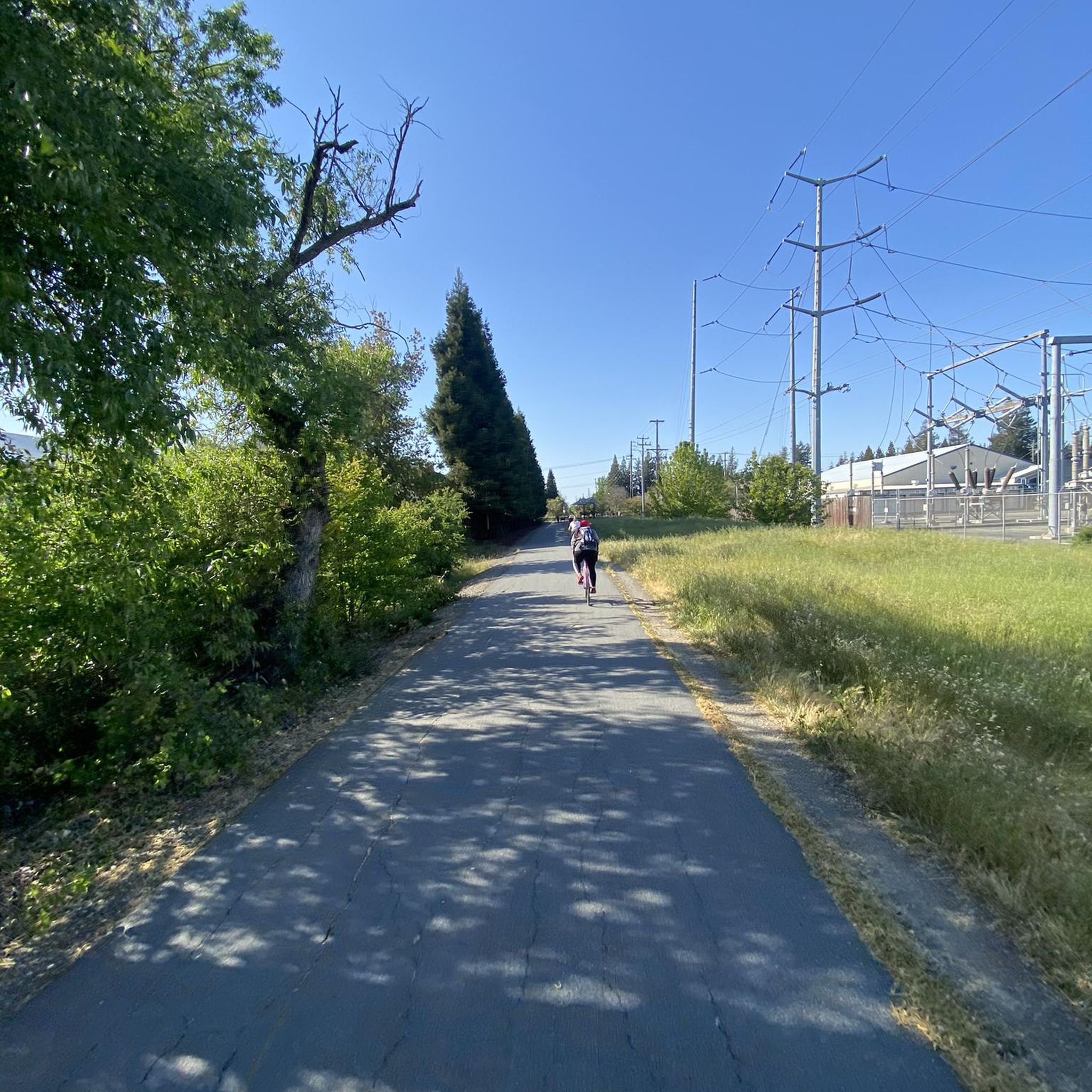
The Iron Horse Trail, open from 5 a.m. to 10 p.m., stretches 32 miles between Concord and Pleasanton, following the former Southern Pacific Railroad. The latest segment, connecting Pleasanton/Dublin BART to Santa Rita Road, opened in 2014 after nearly 30 years of planning. This multi-use trail links residential areas, schools, parks, and public transportation, providing a trail to the local community. This paved trail crosses roads but is a safe way of getting around away from traffic.
0
0

This multi-use trail skirts around the southern portion of San Ramon and is popular for walkers, runners, and cyclists, with views including Camp Parks, the valley's rolling hills and various wildlife, including jackrabbits. The trail is a mix of paved and singletrack trails, with some moderate ups and downs in elevation. You can access the trail from several points within the Stonehenge Way and Holborn Way neighborhoods.
0
0

Livermore is California's oldest wine region and lies as the easternmost city in the San Francisco Bay Area. This city boasts a historic downtown with shopping, dining, and entertainment.
1
0
Danville is situated in the heart of the San Ramon Valley and has been voted "the safest town in California" for five consecutive years. It offers trendy restaurants, boutiques, and a thriving art scene.
0
0
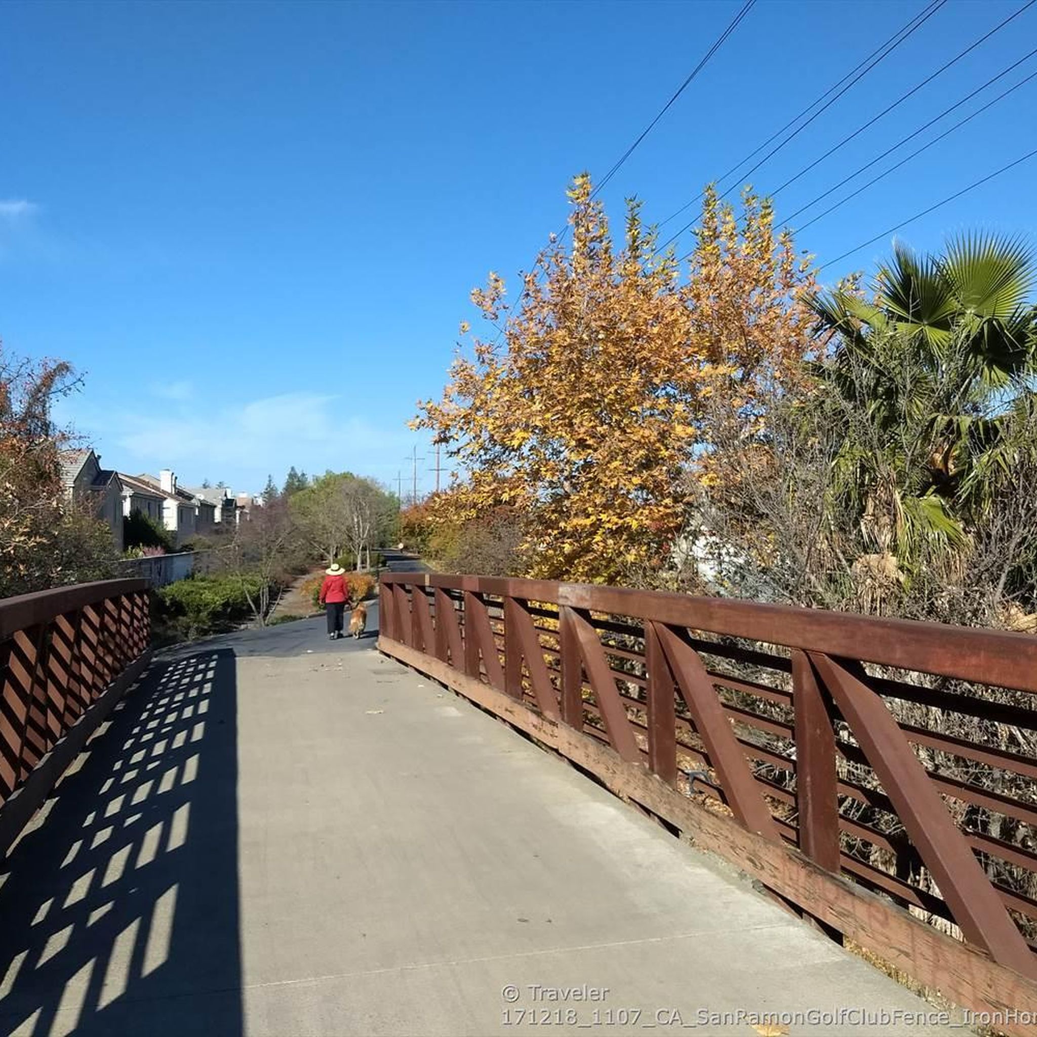
The trail runs through the great neighborhood of Southern San Ramon and crosses the bridge over Coyote Creek.
1
0

Follow Alamo Creek trail to get to Dougherty Hills Open Space and a nice gradual climb up along Dogherty Ridge dirt/gravel trails, or stay along Coyote Creek on or next to the paved Iron Horse Trail
1
0
Frequently Asked Questions
What kind of terrain can I expect when road cycling in San Ramon?
San Ramon offers a diverse road cycling landscape characterized by gentle rolling hills and extensive trail systems. You'll find well-maintained, often paved paths, providing access to natural vistas and open spaces. Routes vary from flat sections, particularly along the Iron Horse Trail, to more challenging rides with significant elevation gains, often featuring views of Mount Diablo.
Are there challenging climbs for experienced road cyclists in San Ramon?
Yes, while many routes feature rolling hills, for those seeking a significant challenge, Mount Diablo State Park is a short drive from San Ramon. It offers one of the hardest rides in the area, with a 3,340-foot climb to its summit, rewarding cyclists with breathtaking panoramic views of the Bay Area.
Are there easy, beginner-friendly road cycling routes in San Ramon?
Absolutely. San Ramon has numerous easy routes, with 20 out of 32 routes classified as easy. A popular choice is the Dougherty Valley loop, an easy 24-mile trail featuring paved surfaces and gentle rolling hills. The Iron Horse Trail and Danville Loop is another easy option, leading through the extensive Iron Horse Trail corridor.
What scenic views or landmarks can I expect to see while cycling in San Ramon?
Road cycling in San Ramon offers stunning views of majestic rolling hills and the commanding presence of Mount Diablo. Many trails, such as the Iron Horse and Tassajara Loop, provide expansive views of the valley and distant ridgelines. You might also pass by the distinctive 'Golf Ball Protection Tunnel' on routes like the Dougherty Valley Loop.
Are there any notable attractions near the cycling routes?
Yes, San Ramon is surrounded by natural beauty and points of interest. You can find highlights like the Museum of the San Ramon Valley, or explore the extensive Iron Horse Trail itself, which connects various East Bay communities. The Bishop Ranch Open Space Regional Preserve also offers serene escapes with diverse wildlife and ridge-top views.
Is parking available at the trailheads for road cycling routes?
Yes, many road cycling routes in San Ramon have accessible parking options. The city is committed to providing access to its parks and trails, and you can often find parking near popular trail entry points. For detailed information on specific trail access and parking, you may consult the city's official trail map information at sanramon.ca.gov.
Can I access road cycling routes in San Ramon using public transport?
The Iron Horse Trail, a central artery for many cycling routes, connects various East Bay communities, making it potentially accessible via public transport options that serve those areas. However, specific public transport connections directly to all trailheads may vary. It's advisable to check local transit schedules for the most current information.
What is the best time of year for road cycling in San Ramon?
San Ramon offers good road cycling conditions for much of the year. The region's mild climate makes spring and fall particularly pleasant, with comfortable temperatures and vibrant landscapes. Summer can be warm but is still suitable, especially during morning or late afternoon rides. Even winter cycling is possible, though you might encounter cooler temperatures and occasional rain.
Are there family-friendly road cycling routes in San Ramon?
San Ramon is an excellent destination for family-friendly cycling. The Iron Horse Trail is particularly well-suited for families, featuring flat, well-maintained, and often paved paths. Its accessibility makes it ideal for all ages and fitness levels, connecting various communities and offering scenic views in a safe environment.
Are there options for longer road cycling tours in San Ramon?
Yes, San Ramon provides options for longer road cycling tours. Routes like the Downtown Livermore – Rolling Hills Trail loop extend for over 35 miles, offering a substantial ride. The extensive Iron Horse Trail itself can be combined with other routes to create longer, continuous journeys through the East Bay.
Are there circular road cycling routes available?
Yes, many road cycling routes in San Ramon are designed as loops, allowing you to start and end at the same point. Examples include the Dougherty Valley loop and the Iron Horse and Tassajara Loop, which offer varied East Bay landscapes and return to your starting location.
What do other road cyclists enjoy the most about road cycling in San Ramon?
The area is highly rated by the komoot community, with an average score of 5.0 stars from 8 reviews. Reviewers often praise the diverse routes, from flat, accessible paths to challenging climbs, and the picturesque landscapes featuring rolling hills and views of Mount Diablo. The well-maintained trails and the overall quality of the cycling experience are frequently highlighted.
Most popular routes around San Ramon
Most popular attractions around San Ramon

Get inspired with the komoot mobile app


Explore more
Browse the best Road cycling routes in other regions.
