The best road cycling routes around American Canyon
4.8
(19)
169
riders
20
rides
Road cycling around American Canyon offers diverse terrain, characterized by significant wetlands and rolling hills, providing scenic routes and opportunities for wildlife viewing. The region is situated at the southern end of Napa Valley, granting access to vineyards and the Napa River. Cyclists can also find routes extending towards the Carquinez Strait, offering water views. The landscape includes varied elevation gains, from gentle paths to more challenging climbs.
Best road cycling routes around American Canyon
- The most popular road cycling…
Last updated: July 22, 2026
1
riders
78.4km
03:20
320m
320m
Cycle the 48.7-mile Napa-Sonoma Marshes Loop, a moderate road route through wetlands, offering great wildlife viewing and bay views.
35
riders
Moderate road ride. Good fitness required. Mostly well-paved surfaces and easy to ride.

Sign up for free
16
riders
Easy road ride. Great for any fitness level. Mostly well-paved surfaces and easy to ride.
7
riders
Moderate road ride. Good fitness required. Mostly well-paved surfaces and easy to ride.
8
riders
Moderate road ride. Good fitness required. Mostly well-paved surfaces and easy to ride.
Get access to more routes and recommendations from other explorers.
Sign up for free
Already have an account?
Our route recommendations are based on thousands of hikes, rides, and runs completed by other people on komoot.
Start today with a free account
Your next adventure awaits.
Login or Signup
Tips from the Community

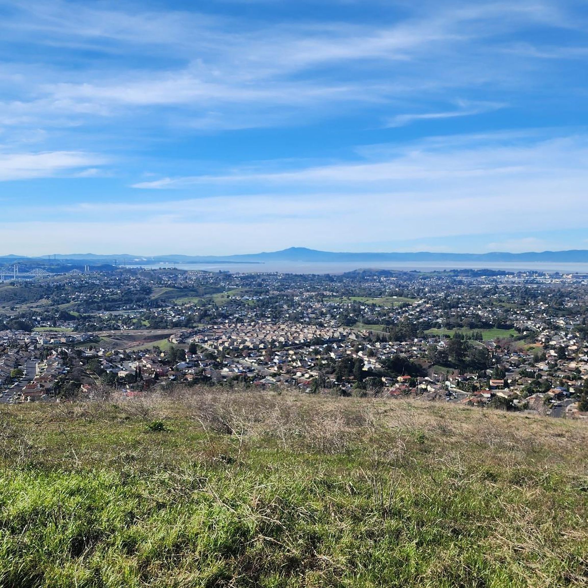
From here you can take the Hiddenbrooke Trail toward Sulphur Springs Mountain and beyond. You can use this as an out and back trail or continue into Hiddenbrooke and return along the road.
0
0
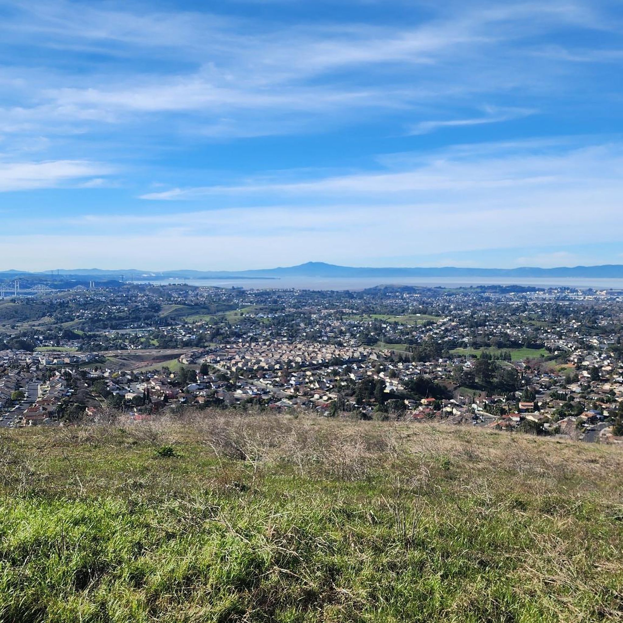
Lynch Canyon is a gateway to a network of trails and ranch roads open to both hikers and cyclists. From the east entrance, the path climbs steadily toward the North Ridge Trail, offering wide views across the surrounding hills. From there, the route bends east toward American Canyon and then northeast to Cordelia Junction, linking open grasslands with scenic ridgelines along the way.
0
0

The Benicia State Recreation Area entrance sits just off I780 and offers easy access to paved bike trails, marshland views, and shaded picnic spots. From here, you can connect to the Carquinez Scenic Drive or explore the wetlands along Southampton Bay. It’s a convenient launch point for a peaceful ride or walk through this tucked-away stretch of shoreline.
0
0

The Benicia Arsenal was established in 1849 on 345 acres of land east of the City and adjacent to the Carquinez Strait. The area was developed over a century of active military use with a variety of facility types including administrative and office buildings, storehouses, shops and residential quarters, as well as a hospital and port. In addition to the frame, brick, and stone structures built in the area between 1854 and 1911, many newer buildings were constructed during World War II. The Arsenal was deactivated in 1964 and the Defense Department transferred ownership to the City of Benicia in 1965. Today, the City retains ownership of several of the most historically significant structures, including the Commanding Officer's Quarters, the Clocktower building, the "Camel Barns", and one of the original powder magazines. The Arsenal is now characterized by older historic buildings, as well as studios, small professional offices, commercial and light industrial activities.
0
0
Small grass area above a beach cove at 6th and West I Streets.
1
0
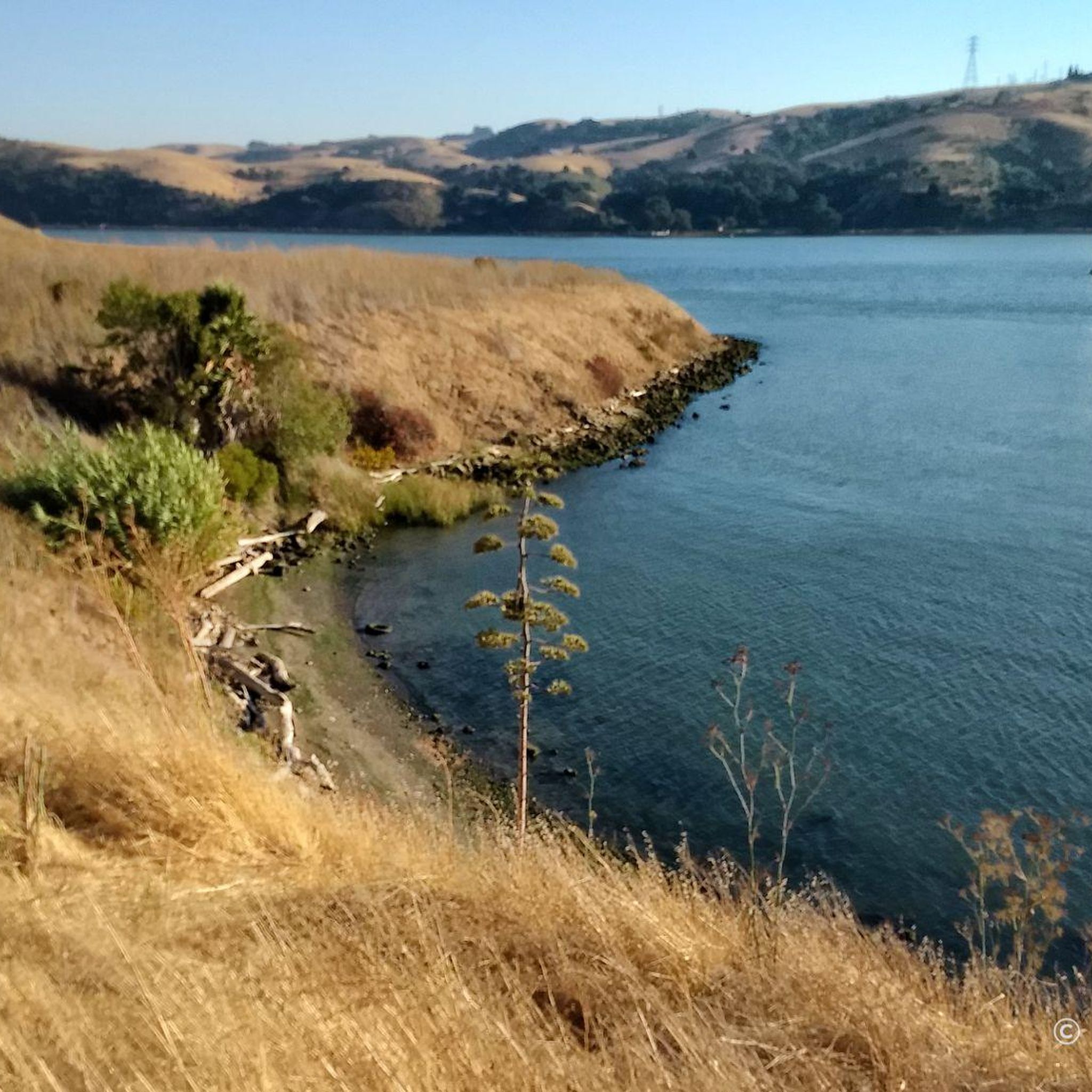
Scenic park along San Francisco Bay Trail, with sweeping views across Carquinez Strait
1
0

The Napa River Trail is a flat, 4.5 mile path that follows the river with the same name. It is a popular path, so there is a good chance you will see others out enjoying their time on the trail.
0
0

Downtown Napa's Riverfront Mall is the heart of California's wine country and popular with tourists. Explore historic streets lined with art galleries, shops, and dining options. Taste fine wines, enjoy live music, and explore Napa Valley history with modern flair. Festivals, community events, and the charm bring in lots of visitors.
0
0
Frequently Asked Questions
How many road cycling routes are available in American Canyon?
American Canyon offers a diverse selection of nearly 20 road cycling routes. These routes cater to various skill levels, ranging from easy, paved paths to more challenging rides with significant elevation gains.
What kind of terrain can I expect on road cycling routes in American Canyon?
Road cycling in American Canyon features a varied landscape. You'll encounter significant wetlands and rolling hills, providing scenic views and opportunities for wildlife spotting. Routes also extend towards the Carquinez Strait, offering water views, and some venture into the southern end of Napa Valley with its vineyards. The terrain includes both gentle paths and routes with notable elevation changes, such as those near Sulphur Springs Mountain.
Are there easy road cycling routes suitable for beginners in American Canyon?
Yes, American Canyon has several easy road cycling routes perfect for beginners. For instance, the View of Napa Valley Train Line – Napa River Bridge loop from American Canyon is an easy 26.3-mile (42.4 km) trail that leads through the Napa Valley, offering a gentle ride. Many routes are paved and suitable for those new to road cycling.
Are there challenging road cycling routes for experienced cyclists in American Canyon?
For experienced cyclists seeking a challenge, American Canyon and its surroundings offer routes with significant elevation gains. While most routes are moderate, areas like Sulphur Springs Mountain provide more demanding climbs. The region's diverse terrain ensures there's always a route to test your fitness.
What scenic landmarks or viewpoints can I expect along road cycling routes?
Many road cycling routes in American Canyon offer picturesque views and pass by notable landmarks. You can enjoy views of the Napa River, the Napa-Sonoma Marshes, and even the Carquinez Strait. Specific highlights include the Carquinez Bridge, the Napa River Trail, and the Napa-Sonoma Marshes Wildlife Area, providing diverse scenery from bridges to wetlands.
Are there routes that offer views of the Napa Valley vineyards?
Absolutely. American Canyon is known as the 'Gateway to Napa Valley,' and several road cycling routes provide direct access to the region's famous vineyards. The View of Napa Valley Train Line – Napa River Bridge loop from American Canyon, for example, takes you through the Napa Valley, allowing you to experience the vineyard scenery.
Can I find long-distance road cycling routes in the area?
Yes, American Canyon features several long-distance road cycling options. The Napa-Sonoma Marshes Loop is a popular choice, covering 48.7 miles (78.4 km) and navigating through scenic wetlands and along the Napa River, making it ideal for a longer ride.
Are there any loop road cycling routes around American Canyon?
Loop routes are a popular feature in American Canyon, allowing you to start and end at the same point. Examples include the Napa-Sonoma Marshes Loop, the Suisun Reservoir loop from Red Top Road Park and Ride, and the View of Napa Valley Train Line – Napa River Bridge loop from American Canyon, offering diverse scenery and distances.
What do other road cyclists enjoy most about road cycling in American Canyon?
The road cycling routes around American Canyon are highly rated by the komoot community, with an average score of 4.8 stars. Cyclists often praise the diverse terrain, from scenic wetlands and rolling hills to views of the Napa River and vineyards. The variety of routes, catering to different ability levels, is also frequently highlighted.
Are the road cycling routes in American Canyon family-friendly?
Many routes in American Canyon are suitable for families, especially those seeking an easier ride. The area offers numerous paved paths and multi-use trails, such as portions of the Napa Valley Vine Trail and the San Francisco Bay Trail, which are generally flat and safe for cyclists of all ages. Wetlands Edge Park also provides accessible trails for family outings.
What are the parking options for road cyclists in American Canyon?
Parking is generally available at various access points for road cycling routes in American Canyon. Many parks, such as Wetlands Edge Park, and trailheads offer designated parking areas. For routes like the Suisun Reservoir loop, you can find parking at locations like the Red Top Road Park and Ride.
Can I find places to eat or get coffee along the routes?
While specific cafes directly on every route may vary, American Canyon and nearby towns offer various options for refreshments. Given its proximity to Napa Valley, you'll find numerous establishments in the wider region. It's advisable to plan your route and check for amenities in towns like Napa or Benicia, which are often accessible from cycling paths.
Most popular routes around American Canyon
Most popular attractions around American Canyon

Get inspired with the komoot mobile app


Explore more
Browse the best Road cycling routes in other regions.
