The best MTB trails around Monterey
4.7
(28)
464
riders
26
rides
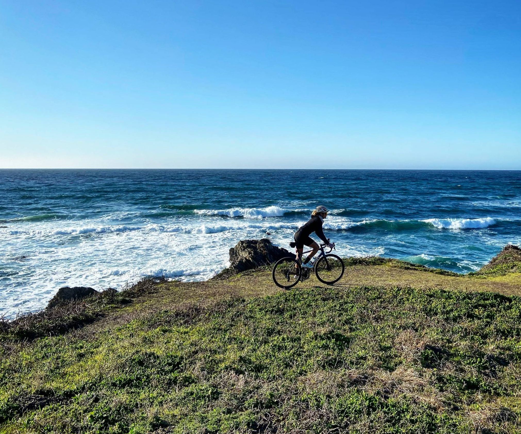
Mountain biking around Monterey provides access to diverse terrain, from coastal paths with ocean views to inland trails through varied landscapes. The region features a mix of rolling hills, open areas, and some forested sections, offering different experiences for mountain bikers. Many trails are located within state parks or former military lands, providing a network of paths for exploration.
Best mountain bike trails around Monterey
- The most popular mountain bike trail is Mudhen Lake – Fort Ord ⛰️🚵 MTB trailhead…
Last updated: September 28, 2026
5.0
(2)
84
riders
Hard mountain bike ride. Very good fitness required. Advanced riding skills necessary. Some portions of the route may require you to push your bike.
5.0
(1)
41
riders
23.8km
02:17
560m
560m
Moderate mountain bike ride. Good fitness required. Suitable for all skill levels.

5.0
(2)
35
riders
44.7km
02:26
260m
260m
Moderate mountain bike ride. Good fitness required. Suitable for all skill levels.
5.0
(1)
19
riders
30.2km
02:32
370m
370m
Hard mountain bike ride. Good fitness required. Advanced riding skills necessary. Some portions of the route may require you to push your bike.
14
riders
23.3km
02:00
550m
550m
Moderate mountain bike ride. Good fitness required. Suitable for all skill levels.
Get access to more routes and recommendations from other explorers.
Already have an account?
Our route recommendations are based on thousands of hikes, rides, and runs completed by other people on komoot.
Start today with a free account
Your next adventure awaits.

Other adventures around Monterey

Tips from the Community


Mudhen Lake is a nice spot to pause and take in the rural scenery. The calm lake views make a pleasant break for stretching, refilling bottles, and enjoying a moment of stillness before rolling on.
0
0

Moss Beach is partially sand and partially pebbles. It looks out into the ocean and bay, and there is a large parking area next to the road.
0
0

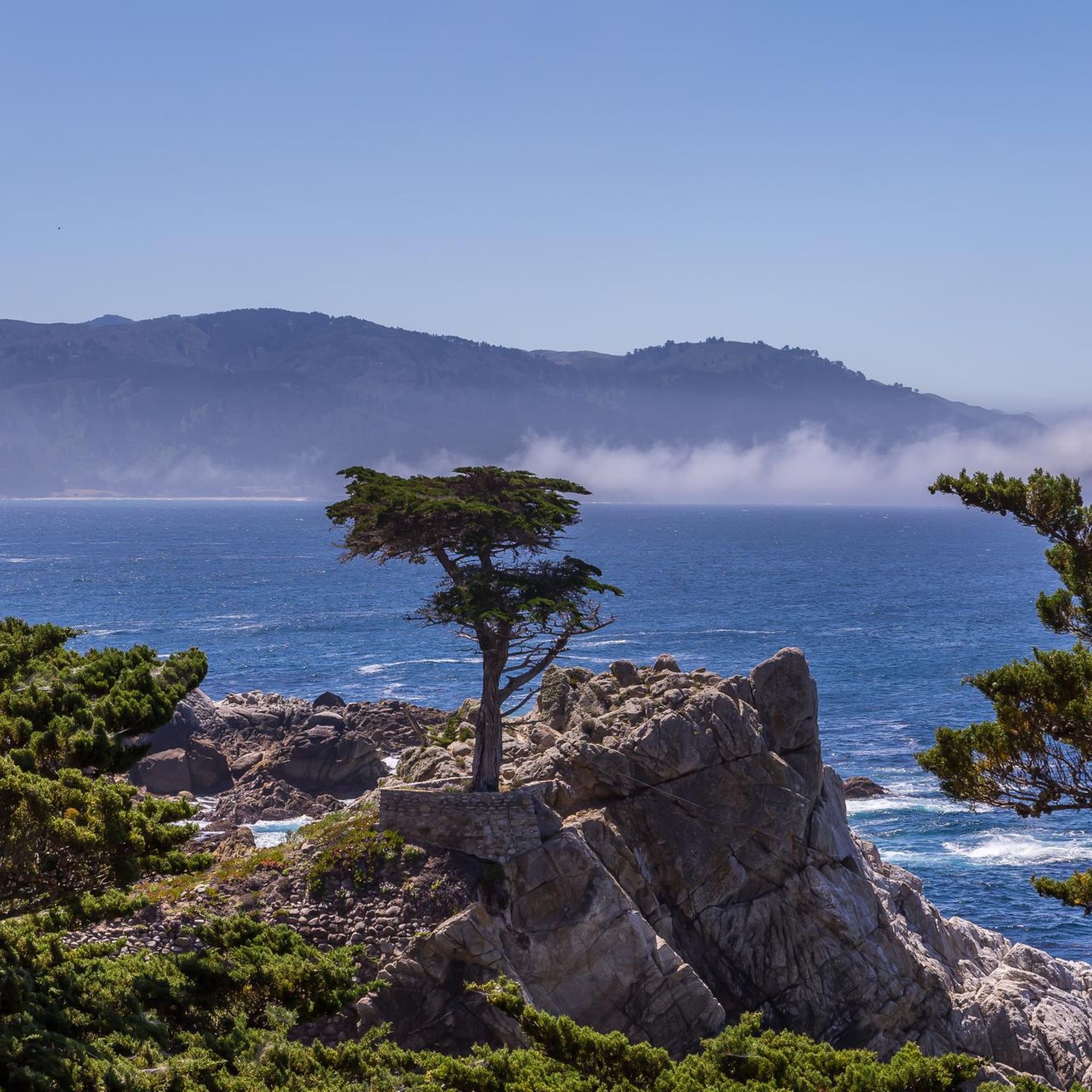
Pescadero Point is a fantastic spot to view the ghost trees and offers spectacular ocean views, along with fascinating rock formations. This area is known for its legendary big waves, which can reach heights of up to 50 feet (15 meters) in the winter, but it's a stunning sight to see any time of year. There is a manned gate at the entrance of the Pebble Beach Golf Course to access this location for vehicles, however, if you're on a bike you can pass for free.
0
0

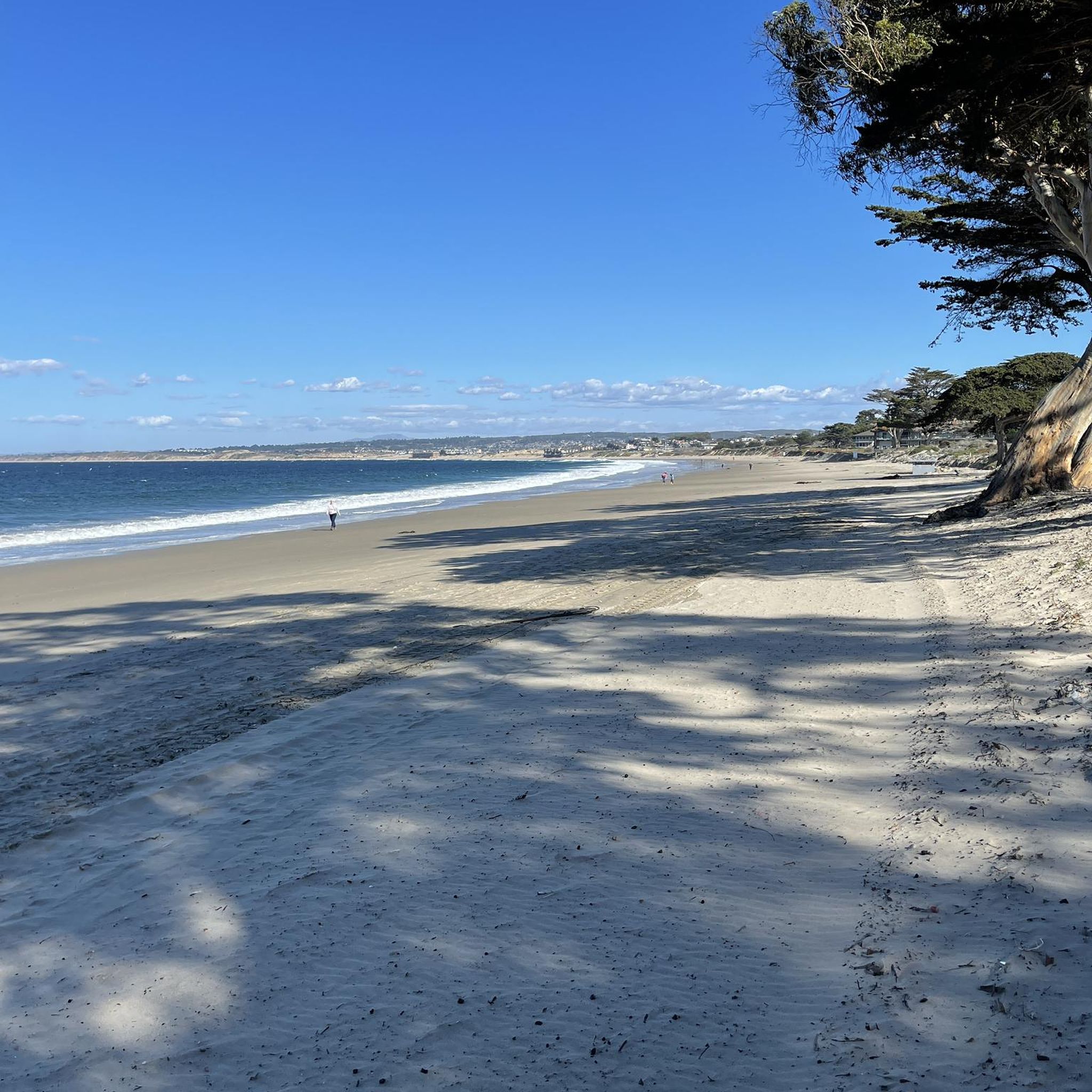
Asilomar State Beach is a small and narrow 1-mile strip of soft, sandy beach and rugged Pacific coastline.
0
0

Nice, small lake in Laguna Seca Recreational Area. It is right along Trail 71, so it is a great place for a quick break to enjoy the peaceful setting.
0
0

This is the southern section of Trail 49; the northern section starts on the other side of Lookout Ridge Road. If you ride this trail north to south, it's a mix of challenging, twisty sections with lots of tight turns, and your classic flowing singletrack. Watch out for poison oak!
0
0

As the hill crests out you get sweeping panoramic views of the massive Fort Ord trail network. From here it is all downhill to Barloy Canyon and Mudhen Lake.
0
0
Frequently Asked Questions
How many mountain bike trails are available in Monterey?
There are over 25 mountain bike trails around Monterey, offering a diverse range of experiences for riders of all skill levels. The komoot community has explored these routes over 400 times.
What are the difficulty levels of mountain bike trails in Monterey?
Monterey offers a good mix of trails for various skill levels. You'll find 9 easy routes, 11 moderate routes, and 5 challenging difficult trails, ensuring there's something for everyone.
Are there any easy or beginner-friendly mountain bike trails in Monterey?
Yes, Monterey has 9 easy mountain bike trails suitable for beginners or those looking for a more relaxed ride. These routes often feature less elevation gain and smoother terrain, making them ideal for getting started or enjoying a leisurely outing.
Can I find advanced mountain bike trails near Monterey?
For experienced riders seeking a challenge, Monterey offers 5 difficult mountain bike trails. One such route is the Mudhen Lake – Fort Ord ⛰️🚵 MTB trailhead loop from WeatherTech Raceway Laguna Seca, which covers 29.7 miles (47.8 km) with significant elevation gain, typically taking over 4 hours to complete.
Are there any family-friendly mountain bike trails in Monterey?
While specific 'family-friendly' designations vary, many of the 9 easy trails in Monterey are suitable for families with older children or those comfortable with basic off-road cycling. These routes generally avoid steep climbs and technical sections, providing a more enjoyable experience for all.
What kind of views can I expect on mountain bike trails in Monterey?
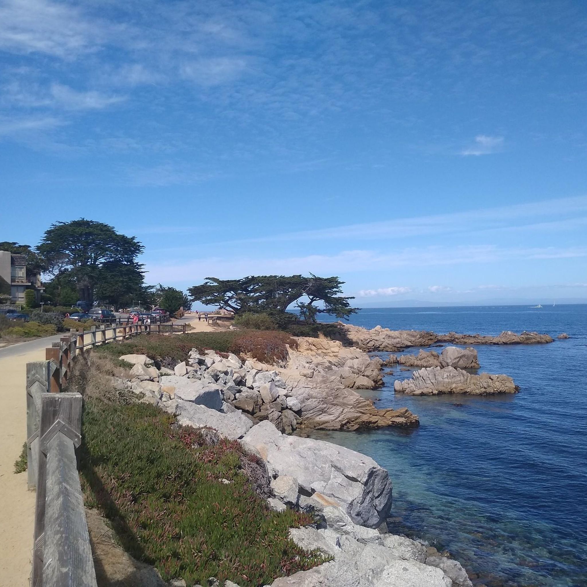
Monterey's mountain bike trails offer a variety of scenic views. You can experience stunning coastal vistas on routes like the Lone Cypress Viewpoint – Fan Shell Beach loop from Asilomar State Beach, or explore inland areas with rolling hills and forested sections, particularly around the Fort Ord area.
Are there mountain bike trails in Monterey that are loops?
Yes, many of the mountain bike trails in Monterey are designed as loops, offering convenient starting and ending points. Examples include the Trail 49 loop from WeatherTech Raceway Laguna Seca and the Mudhen Lake – Mudhen Lake loop from WeatherTech Raceway Laguna Seca, both providing a balanced ride through varied terrain.
What are some interesting landmarks or attractions near the mountain bike trails?
Along and near the mountain bike trails, you can find several interesting attractions. Coastal routes might pass by natural monuments like Point Lobos State Natural Reserve or the iconic Lone Cypress Tree. Inland, you might encounter serene spots like El Estero Lake Park 🌳 or the Allan Memorial Grove.
What do other mountain bikers enjoy most about mountain biking in Monterey?
The mountain biking experience in Monterey is highly rated by the komoot community, with an average score of 4.7 stars from over 20 reviews. Riders often praise the diverse terrain, from coastal paths with ocean views to varied inland landscapes, and the well-maintained network of trails within state parks and former military lands.
What is the typical length and duration of mountain bike trails in Monterey?
Trail lengths and durations vary significantly. For example, a moderate route like the Shoreline Park Path – Lovers Point Beach loop from Monterey State Beach is about 28.5 miles (45.9 km) and takes around 2 hours 45 minutes. Shorter, easier trails will be quicker, while difficult routes can extend to nearly 30 miles and take over 4 hours.
When is the best time of year for mountain biking in Monterey?
Monterey generally offers good mountain biking conditions year-round due to its mild climate. However, spring and fall often provide the most pleasant temperatures and less chance of extreme weather, making them ideal for exploring the trails. Always check local weather and trail conditions before heading out.
Most popular routes around Monterey
Most popular attractions around Monterey

Get inspired with the komoot mobile app


Explore more
Browse the best MTB trails in other regions.
