The best road cycling routes around Santee
4.4
(49)
1,145
riders
73
rides
Road cycling around Santee, California, features diverse landscapes and extensive trail networks. The region is characterized by urban parks, reservoirs, and paved paths, offering varied terrain for cyclists. Mission Trails Regional Park provides a vast network of routes, with some areas featuring steep topography. The area also includes scenic paths along Lake Murray Reservoir and dedicated bike paths like the SR 52 Bike Path.
Best road cycling routes around Santee
- The most popular road cycling route is Old Mission Dam – Mission Trails Regional Park loop from San Carlos, a 22.0 miles (35.4 km) trail that takes 1 hour 51 minutes to complete. This route explores the diverse terrain of Mission Trails Regional Park, offering moderate to challenging sections.
- Another top favourite among local road cyclists is Mission Bay Trail – Lake Murray Reservoir loop from Grossmont, a moderate 41.2 miles (66.4 km) path. This route combines urban cycling with scenic stretches along the Lake Murray Reservoir.
- Local road cyclists also love the SR 52 Bike Path – SR 52 Bike Path loop from West Hills High School, a 15.8 miles (25.4 km) trail leading through a convenient connector route, often completed in about 1 hour 15 minutes.
- Road cycling around Santee is defined by urban parks, reservoir paths, and dedicated bike trails. The network offers options for different ability levels, from leisurely rides to routes with significant elevation gains.
- The routes in Santee are highly rated by the komoot community with an average score of 4.4 stars from more than 30 reviews. More than 900 road cyclists have used komoot to explore Santee's varied terrain.
Last updated: October 28, 2026
4.0
(1)
18
riders
25.4km
01:15
400m
400m
Moderate road ride. Good fitness required. Mostly well-paved surfaces and easy to ride.
2.0
(1)
7
riders
Moderate road ride. Good fitness required. Some segments of this route may be unpaved and difficult to ride.

4.0
(2)
5
riders
25.3km
01:19
320m
320m
Moderate road ride. Good fitness required. Mostly well-paved surfaces and easy to ride.
3.0
(1)
7
riders
Moderate road ride. Good fitness required. Some segments of this route may be unpaved and difficult to ride.
5.0
(1)
3
riders
38.5km
01:56
500m
500m
Moderate road ride. Good fitness required. Mostly well-paved surfaces and easy to ride.
Get access to more routes and recommendations from other explorers.
Already have an account?
Our route recommendations are based on thousands of hikes, rides, and runs completed by other people on komoot.
Start today with a free account
Your next adventure awaits.

Tips from the Community

This is a short, bi-directional State Route (SR) connector path that runs along the north side of the State 52 Freeway from Santo Road in San Diego to Mast Blvd in Santee. It is separated from the freeway by a concrete barrier.
0
0

Established in 1769, Mission Basilica San Diego de Alcalá stands as the inaugural Franciscan mission in The Californias, a province of New Spain. Its founding aimed to minister to the Kumeyaay indigenous community. Post the Mexican War of Independence in 1822, it transitioned to Mexican territory.
0
0
This is a short, bi-directional State Route (SR) connector path that runs along the north side of the State 52 Freeway from Santo Road in San Diego to Mast Blvd in Santee. It is separated from the freeway by a concrete barrier.
0
0

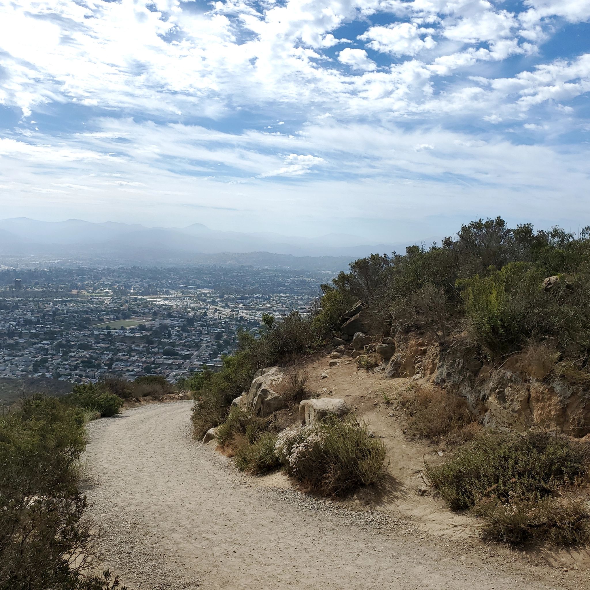
This overlook on the trail offers a cool bird's eye view of the Old Mission Dam. You can tell just how wide the structure spans when you get this higher perspective.
0
0

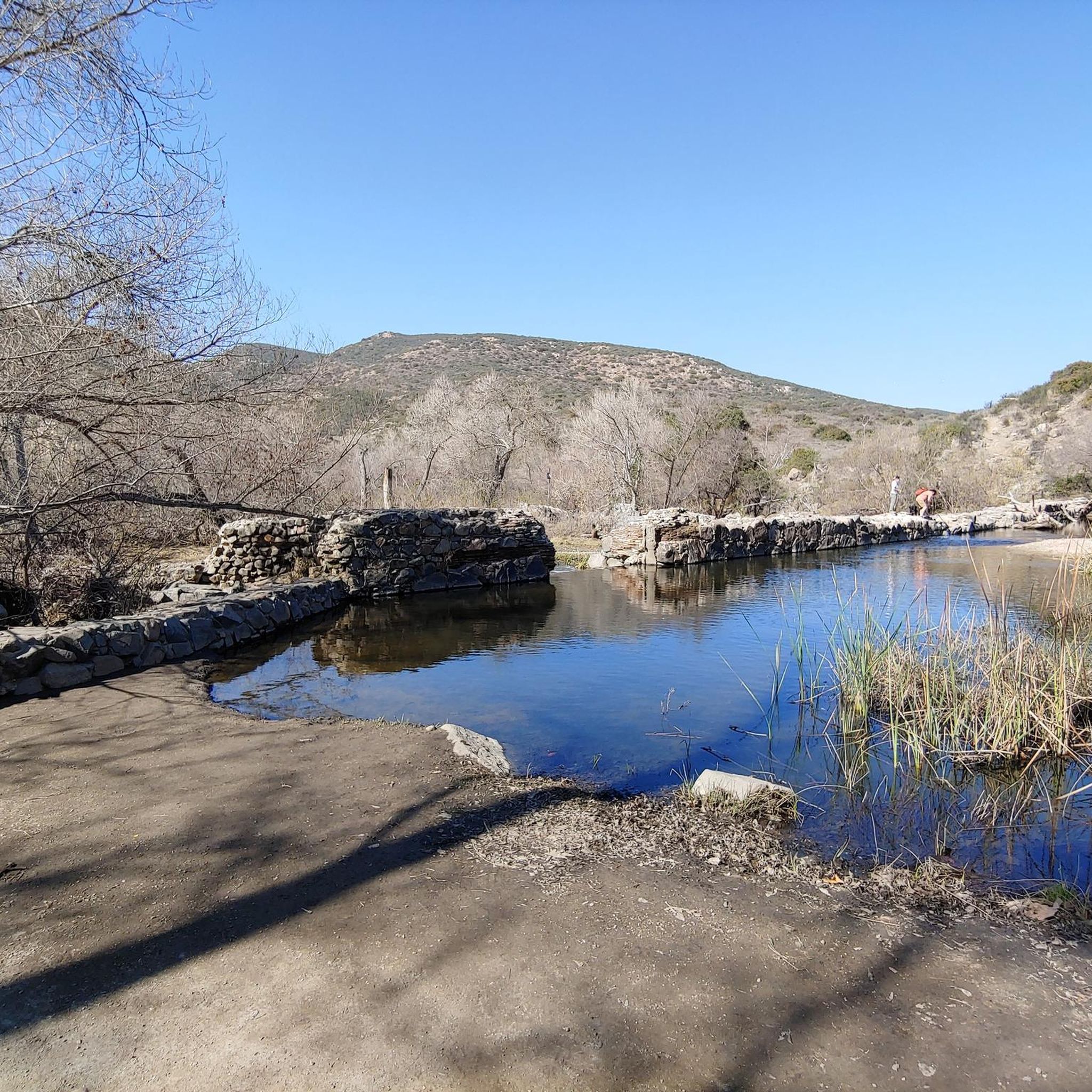
Built in 1803 by Kumeyaay Indians 'conscripted' by the Spanish, the dam was built across Mission Gorge to redirect water to the Mission San Diego de Alcala. The area is full of history as well as spectacular scenery and wildlife.
0
0

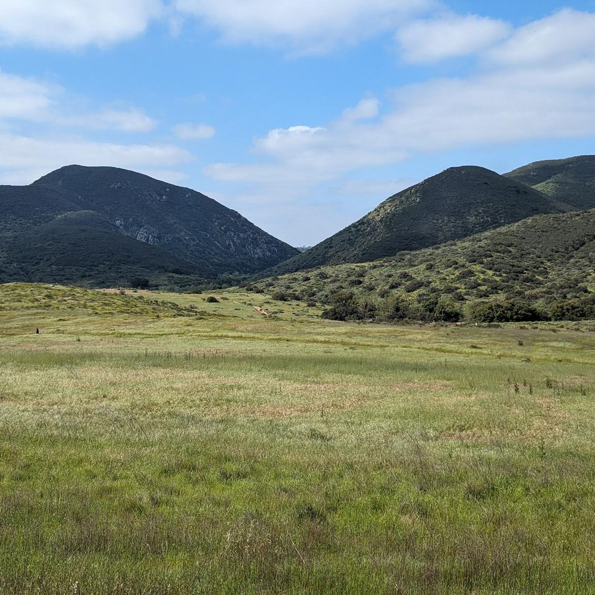
Mission Trails Regional Park spans 8,000 acres, comprising both natural and developed recreational areas. It stands as one of the largest urban parks in the United States, established in 1974. The park boasts 60 miles of trails, opportunities for boating on Lake Murray, and camping options at Kumeyaay Lake.
0
0
The Old Mission Dam is part of San Diego’s Mission Trails Regional Park located on the Father Junípero Serra Trail. When the population of San Diego de Alcala Mission grew during the late 18th century, so did its demand for water. The Spanish colonists solved the water shortage problem by building what is likely the first major colonial irrigation-engineering project on the Pacific Coast.
0
0
Frequently Asked Questions
How many road cycling routes are available around Santee?
Santee offers a wide variety of road cycling routes, with over 60 options available on komoot. These routes cater to different skill levels, from leisurely rides to challenging ascents.
What kind of terrain and difficulty can I expect on Santee's road cycling routes?
Santee's road cycling routes feature diverse terrain. You'll find well-paved surfaces and extensive trail networks. While many routes are moderate, areas like the western side of Mission Trails Regional Park offer steep topography and significant elevation gains for experienced riders. Easier routes can be found around Lake Murray Reservoir and Santee Lakes Recreation Preserve.
Are there any easy or beginner-friendly road cycling routes in Santee?
Yes, Santee offers several easy road cycling routes suitable for beginners or those seeking a relaxed ride. The Lake Murray Reservoir loop from Grossmont is a great option for all fitness levels, providing a scenic and relatively flat path. Santee Lakes Recreation Preserve also features over five miles of paved trails ideal for serene cycling.
Where can I find challenging road cycling routes with significant climbs?
For challenging rides with substantial elevation, focus on routes that venture into Mission Trails Regional Park, particularly its western sections. The Old Mission Dam – Mission Trails Regional Park loop from San Carlos is a popular choice, offering moderate to hard sections and nearly 500 meters of climbing. For very good fitness challenges, consider longer routes like the Lyons Valley Trading Post loop from El Cajon.
What scenic landmarks or viewpoints can I see along Santee's road cycling routes?
Many routes in Santee offer scenic views and pass by notable landmarks. You can cycle past the historic Old Mission Dam within Mission Trails Regional Park. The Lake Murray Reservoir provides picturesque views along its perimeter. For panoramic vistas, some routes offer glimpses of North Fortuna Summit or views from Cowles Mountain.
Are there any circular road cycling routes in Santee?
Yes, many of Santee's road cycling routes are designed as loops, allowing you to start and end at the same point. Examples include the Old Mission Dam – Mission Trails Regional Park loop from San Carlos and the SR 52 Bike Path – SR 52 Bike Path loop from West Hills High School, providing convenient round trips.
What do other road cyclists enjoy most about road cycling in Santee?
The road cycling routes in Santee are highly rated by the komoot community, with an average score of 4.4 stars from over 30 reviews. Cyclists often praise the diverse terrain, from urban paths to scenic reservoir loops, and the variety of options available for different fitness levels.
Are there any family-friendly road cycling options in Santee?
Absolutely. The paved trails around Santee Lakes Recreation Preserve offer a safe and scenic environment for family cycling. The eastern side of Mission Trails Regional Park also features easier routes suitable for families. The Lake Murray Reservoir path is another popular choice for a leisurely family ride.
What is the best time of year for road cycling in Santee?
Santee generally offers excellent road cycling conditions year-round due to its mild climate. Spring and fall provide particularly pleasant temperatures. Even in summer, early morning or late afternoon rides can be enjoyable, though it's always wise to check the weather forecast and stay hydrated.
Are there places to park near the road cycling routes in Santee?
Yes, many popular cycling areas in Santee offer convenient parking. For instance, you can typically find parking near access points for Mission Trails Regional Park, Lake Murray Reservoir, and Santee Lakes Recreation Preserve. Specific route starting points often have designated parking facilities.
Can I find coffee shops or places to refuel along Santee's road cycling routes?
Santee's urban setting means many routes pass through or near areas with amenities. You'll find various coffee shops, cafes, and stores in Santee and surrounding communities, especially near the start or end points of routes, or along paths that connect urban areas like the Mission Bay Trail – Lake Murray Reservoir loop from Grossmont.
Most popular attractions around Santee

Get inspired with the komoot mobile app


Explore more
Browse the best Road cycling routes in other regions.
