The best MTB trails around Upland
4.6
(6)
97
riders
10
rides
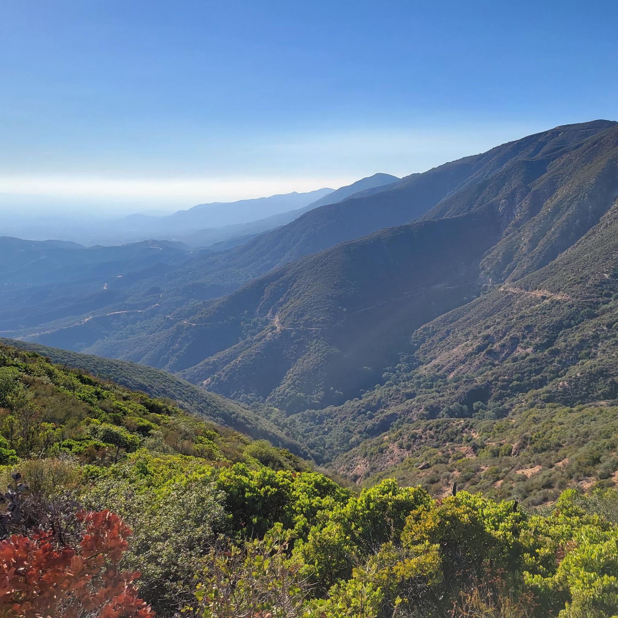
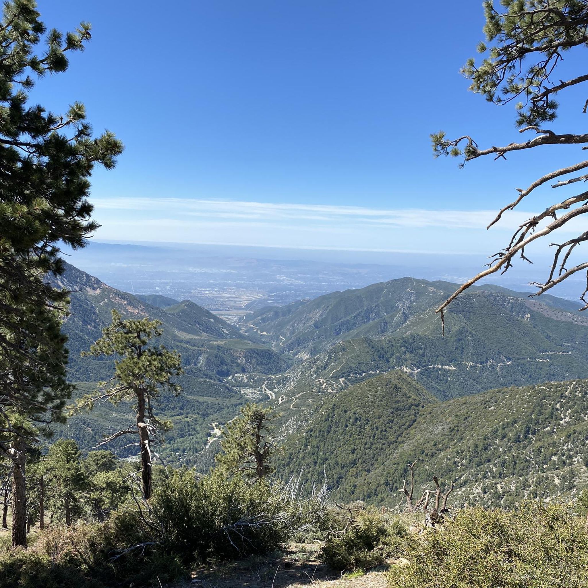
Mountain biking around Upland offers diverse terrain at the base of the San Gabriel Mountains and adjacent to the Angeles National Forest. The region features rugged mountain trails, oak woodlands, and chaparral grasslands. Riders can explore canyons and enjoy views of distant peaks, with the landscape providing a varied environment for mountain biking.
Best mountain bike trails in Upland
- The most popular mountain bike trail is Cobal Canyon Loop, an 8.0 miles (12.9 km) trail that takes 1 hour…
Last updated: July 26, 2026
4
riders
12.9km
01:28
410m
410m
Mountain bike the moderate Cobal Canyon Loop, an 8.0-mile ride through desert canyons with views of distant peaks.
5.0
(2)
48
riders
16.8km
01:33
320m
320m
Moderate mountain bike ride. Good fitness required. Suitable for all skill levels.

Sign up for free
13
riders
25.9km
02:34
640m
640m
Moderate mountain bike ride. Good fitness required. Suitable for all skill levels.
5.0
(1)
14
riders
31.0km
03:16
840m
840m
Moderate mountain bike ride. Good fitness required. Suitable for all skill levels.
7
riders
Easy mountain bike ride. Great for any fitness level. Suitable for all skill levels.
Get access to more routes and recommendations from other explorers.
Sign up for free
Already have an account?
Our route recommendations are based on thousands of hikes, rides, and runs completed by other people on komoot.
Start today with a free account
Your next adventure awaits.
Login or Signup
Tips from the Community

You can cycle across the top of the dam, which was constructed in 1928 to help control flooding in the region. It stands at 147 feet high, and today supports a myriad of outdoor recreation activities on the reservoir.
0
0

The Palmer Evey Trail is a straightforward trail in the San Bernadino Mountains. If you want to get up to Potato Peak, there is a short spur trail to take you to the peak.
0
0
Great view of the Puddingstone Reservoir, a 250-acre man-made body of water. There is a road that runs along the perimeter of the reservoir and there is a spot to pull off the road to get a close up view of the water.
0
0

The Marshall Canyon Trail is in La Verne, CA, starts at Oak Mesa Park and features 1,310 feet of climbing, reaching a max elevation of 2,424 feet. Known for its oak tree cover and lush terrain, it’s often referred to as "Sherwood Forest" due to its green, shady environment. The lower section is relatively flat, with more climbing occurring deeper into the canyon. For mountain bikers, there are many variations off the main trail that can add both milage and elevation to your ride. Adding the Claremont Loop, for example, can extend the ride by 4-5 miles and 800 vertical feet. The trail and surrounding area provides a refreshing NorCal feel, with shaded trails and a creek, contrasting with the typically hot and dry surrounding hills.
0
0

Hear a plane coming in for a landing? You're experiencing air traffic from Brackett Field Airport. This airport is over 100 years old; it was established in 1911 and is one of the oldest operating airports in the Los Angeles area. There are only two runways here, and this small airport is a hub for flight training schools, charter services, and recreational flying.
0
1

Dedicated trail-goers will take a potato to the summit to leave as an offering to the potato gods. Check out the summit book, and the echo beneath the metal plate on the top of the tank!
0
0

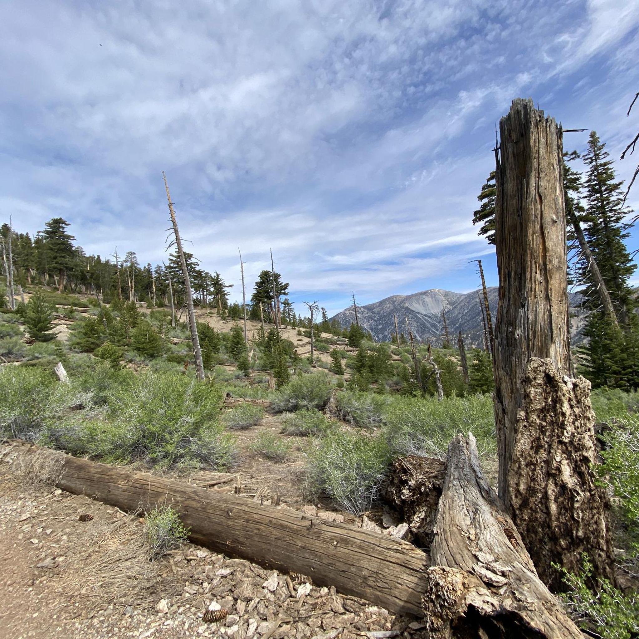
At an elevation of 3,422 feet, this summit provides breathtaking views of the San Gabriel Mountains. The mountain earned its name from the tradition of people leaving potatoes with messages and drawings on them.
0
0
This park offers a variety of amenities, including campsites, horseshoe pits, volleyball courts, and fire pits. With numerous trails throughout, it provides you with opportunities for hiking, running, and biking to enjoy this stunning area.
0
0
Frequently Asked Questions
How many mountain bike trails are available around Upland?
There are over 10 mountain bike trails available around Upland, offering a variety of experiences for riders. These routes are highly rated by the komoot community, with an average score of 4.4 stars.
What kind of terrain can I expect on mountain bike trails near Upland?
Mountain bike trails near Upland offer diverse terrain, ranging from rugged mountain paths in the San Gabriel Mountains to scenic routes through oak woodlands and chaparral grasslands. You can also find trails with desert canyons and views of distant peaks, providing a varied environment for riding.
Are there any easy mountain bike trails suitable for beginners in Upland?
Yes, there are easy mountain bike trails in the Upland area. For instance, the Puddingstone Reservoir Dam loop from La Verne is an easy 9.4-mile (15.1 km) route, and the Brackett Field Airport – View of Puddingstone Reservoir loop from University of La Verne is another easy 9.3-mile (15.0 km) option, both offering relatively flat terrain.
What are the difficulty levels of mountain bike trails in Upland?
The mountain bike trails in Upland primarily feature moderate difficulty, making them suitable for intermediate riders. There are also a couple of easy routes perfect for beginners or those looking for a more relaxed ride. Currently, there are no trails classified as difficult in the guide data.
Are there any mountain bike trails with scenic viewpoints or landmarks?
Many trails in the Upland area offer scenic viewpoints and pass by notable landmarks. For example, the Claremont Hills Wilderness Park features lookout points with extensive views. The Cobal Canyon Loop is known for its desert canyons and views of distant peaks. You can also find views of the Claremont Hills Wilderness Park from specific viewpoints, such as View of the Claremont Hills Wilderness Park.
Can I find mountain bike trails that are loop routes?
Yes, several mountain bike trails in the Upland area are designed as loops, offering a convenient way to start and end your ride at the same point. Examples include the Cobal Canyon Loop, the Marshall Canyon Trail loop from Damien High School, and the Puddingstone Reservoir Dam loop from La Verne.
What is the best time of year to go mountain biking in Upland?
Upland's climate, at the base of the San Gabriel Mountains, generally allows for mountain biking year-round. However, the cooler months from fall through spring are often preferred to avoid the intense heat of summer. Always check local weather conditions before heading out.
Are there any trails that connect to larger trail networks?
Yes, some trails in the Upland area offer connections to larger networks. For instance, the Marshall Canyon Trail provides offshoots that can connect to the Claremont Loop, allowing for extended rides and additional elevation gain.
What are some notable natural features or attractions along the mountain bike routes?
The trails often wind through oak woodlands and chaparral grasslands, characteristic Californian landscapes. The Marshall Canyon Trail is often called 'Sherwood Forest' due to its lush, shaded, and oak tree-covered terrain, and features a refreshing creek. Puddingstone Reservoir is also a scenic feature near some routes. You can also explore highlights like Marshall Canyon Trail itself, or enjoy views towards Cucamonga Peak.
Where can I find more information about local recreation services in Upland?
For more information on local recreation services, parks, and facilities in Upland, you can visit the official Upland city website. They provide details on programs and services that enhance outdoor activities in the area. Upland Recreation Services.
Are there any trails that offer a 'NorCal feel' with lush, shaded areas?
Yes, the Marshall Canyon Trail, particularly the Marshall Canyon Trail loop from Damien High School, is often described as having a 'NorCal feel'. It features lush, shaded, and oak tree-covered terrain with a creek, providing a refreshing contrast to the typically drier surrounding hills.
Most popular routes around Upland
Most popular attractions around Upland

Get inspired with the komoot mobile app


Explore more
Browse the best MTB trails in other regions.
