The best road cycling routes around El Segundo
4.6
(103)
5,683
riders
75
rides
Road cycling around El Segundo offers diverse routes along the Southern California coastline, characterized by scenic beachfront paths and dedicated bike trails. The region features a mix of flat, car-free bike paths like the Marvin Braude Bike Trail, and more challenging loop rides with elevation changes towards the Palos Verdes Peninsula. Cyclists can explore coastal areas, urban green spaces, and connect to a network of neighboring beaches. The landscape provides options for different fitness levels.
Best road cycling routes around…
Last updated: May 31, 2026
5.0
(5)
367
riders
66.9km
03:32
620m
620m
Moderate road ride. Good fitness required. Some segments of this route may be unpaved and difficult to ride.
29
riders
87.6km
04:57
840m
840m
Moderate road ride. Good fitness required. Some segments of this route may be unpaved and difficult to ride.

Sign up for free
4
riders
19.4km
01:05
100m
100m
Easy road ride. Great for any fitness level. Mostly well-paved surfaces and easy to ride.
5.0
(1)
36
riders
17.4km
00:58
130m
130m
Easy road ride. Great for any fitness level. Mostly well-paved surfaces and easy to ride.
6
riders
18.4km
00:59
140m
140m
Easy road ride. Great for any fitness level. Mostly well-paved surfaces and easy to ride.
Get access to more routes and recommendations from other explorers.
Sign up for free
Already have an account?
Our route recommendations are based on thousands of hikes, rides, and runs completed by other people on komoot.
Start today with a free account
Your next adventure awaits.
Login or Signup

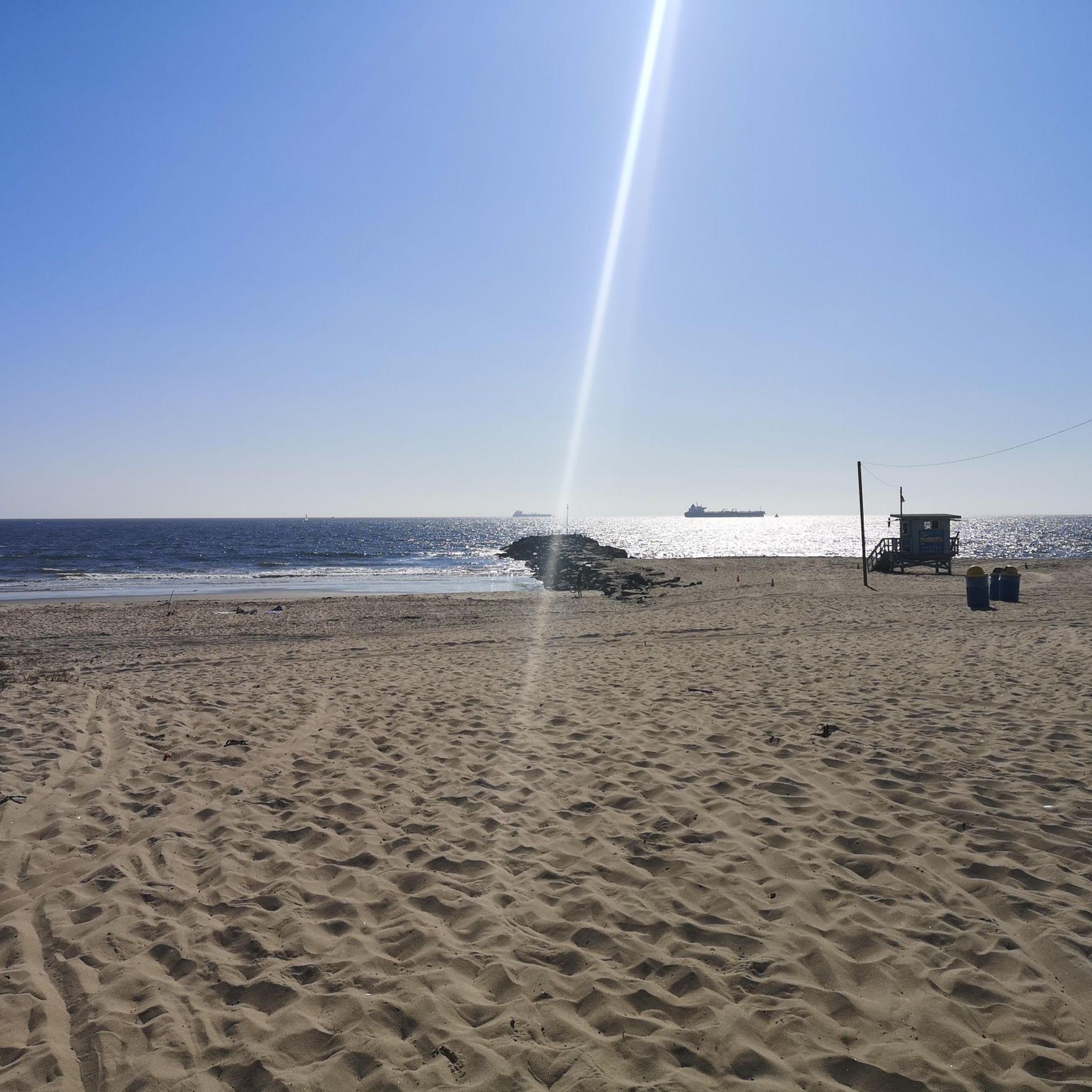
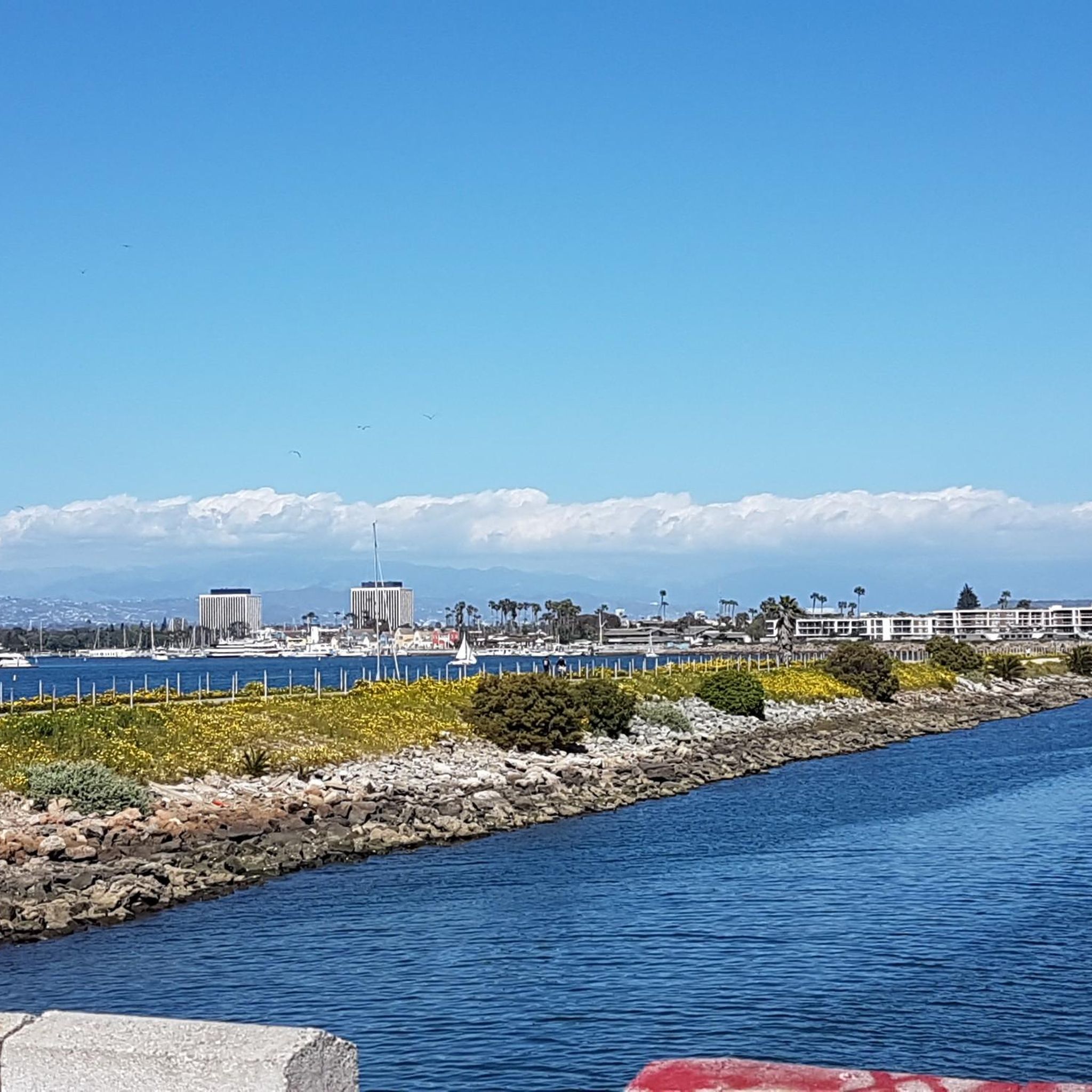
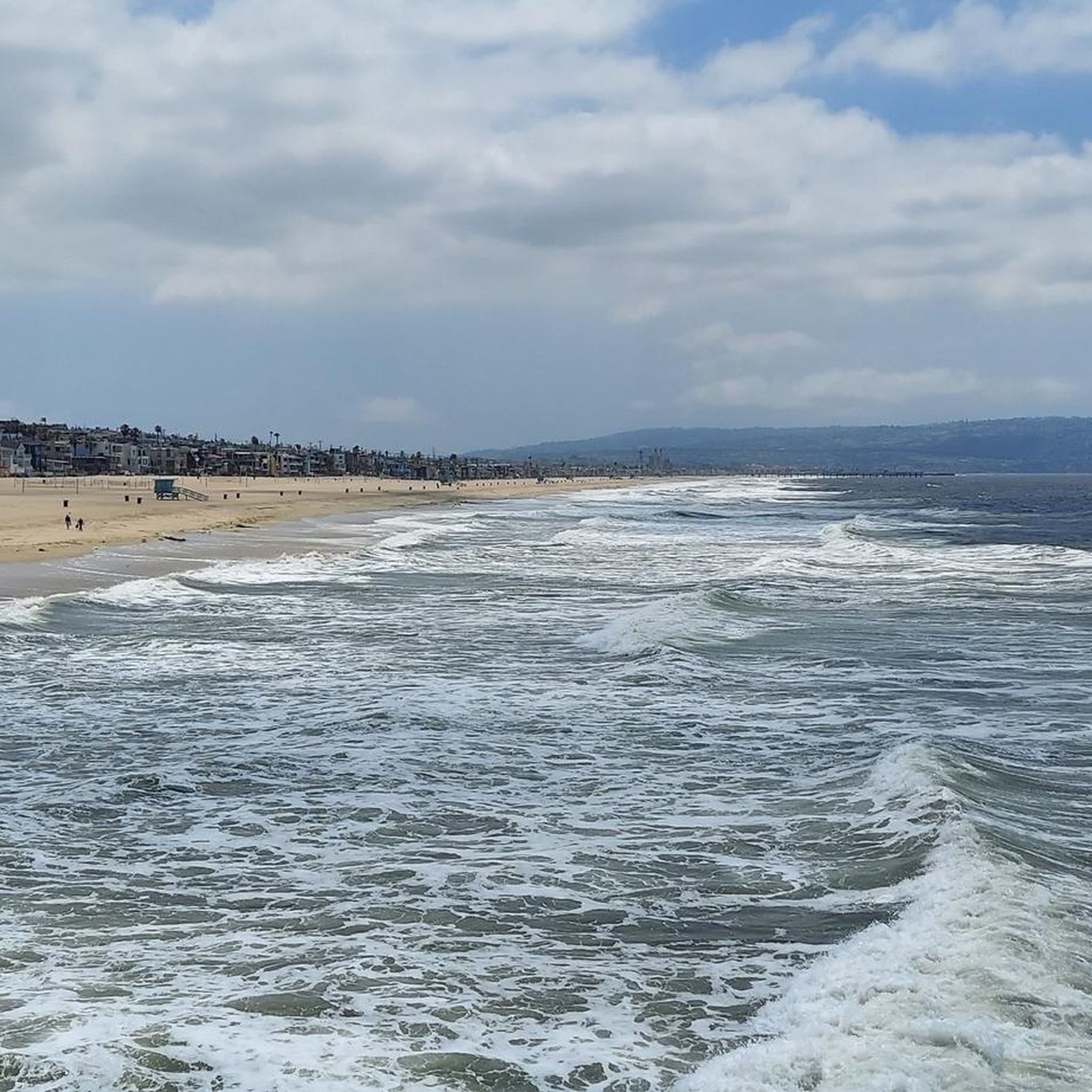
Tips from the Community

Has some bumps here and there nothing too crazy, fun ride
0
0
Scenic beach ride just watch for distracted walkers.
0
0

Long stretch of car-free public beachfront, only accessible by an excellent bike/pedestrian boardwalk trail.
0
0

This is your quintessential beachside food stand: Lots of shade, cold drinks, frozen treats, and good food, too. It typically opens in mid-May.
1
0

Palos Verdes Drive is a scenic ride with climbs, descents, and turns. The South segment near the Portuguese Bend is prone to landslides and is sometimes closed. The best times to ride are in the mornings on weed days, when there is minimal traffic and cooler temperatures. Public restrooms and water are available at the Point Vicente Interpretive Center, Abalone Cove Park, and Malaga Cove School, located in the parking area.
1
0

This is a great place to have a quick rest to take in the view over Santa Monica and its famouse pier.
0
0
Frequently Asked Questions
What kind of terrain and difficulty can I expect on road cycling routes in El Segundo?
El Segundo offers a diverse range of road cycling terrain. You'll find mostly well-paved, easy rides with minimal elevation gain, particularly along coastal paths like the Marvin Braude Bike Trail. For those seeking more challenge, routes extending towards the Palos Verdes Peninsula feature significant elevation changes and more demanding climbs. The area includes options for all fitness levels, from leisurely coastal cruises to routes with over 3,000 feet of elevation.
Are there road cycling routes suitable for beginners in El Segundo?
Yes, El Segundo has routes suitable for beginners. The region offers several easy road cycling routes, often characterized by flat, car-free beachfront paths. These routes provide a great way to enjoy the coastal scenery without significant physical demands. For example, parts of the Marvin Braude Bike Trail are ideal for an easy, scenic ride.
What are some of the most scenic views or natural features I can expect to see while road cycling in El Segundo?
Road cycling in El Segundo is renowned for its stunning coastal landscapes. You can expect extensive ocean views, especially along the Marvin Braude Bike Trail, which connects various beaches. Routes often pass by iconic Southern California beaches like El Segundo Beach, Manhattan Beach, and Torrance Beach. The Palos Verdes Peninsula offers spectacular coastal vistas and dramatic cliffs. You might also encounter wetland scenery along paths like the Ballona Creek Bike Path, and urban green spaces such as Sand Dune Park.
What are some notable landmarks or attractions along the road cycling routes in El Segundo?
Beyond the natural beauty, road cycling routes in El Segundo can lead you past several interesting landmarks and attractions. You can cycle along the Ocean Front Walk, visit Torrance Beach, or enjoy the atmosphere at Beach Green - The Promenade. For a unique cultural sight, the Luminaries of Pantheism Mural is also accessible. Additionally, routes may pass by natural areas like the Ballona Lagoon — Marina Del Rey and the Ballona Wetlands Ecological Reserve.
How many road cycling routes are available around El Segundo?
There are over 10 road cycling routes available around El Segundo on komoot, offering a variety of distances and difficulty levels. These routes are highly rated by the komoot community, with an average score of 4.6 stars.
What do other road cyclists enjoy most about road cycling in El Segundo?
The road cycling routes around El Segundo are highly rated by the komoot community, with an average score of 4.6 stars from over 100 reviews. Cyclists frequently praise the extensive ocean views, the well-maintained beachfront paths, and the variety of terrain that caters to different fitness levels, from easy coastal cruises to challenging climbs towards the Palos Verdes Peninsula.
Are there any long-distance road cycling routes in the El Segundo area?
Yes, El Segundo offers several long-distance road cycling routes. For example, the Will Rogers State Beach – Marina del Rey loop from Mariposa is a substantial 52.3-mile (84.1 km) trail, providing extensive ocean views. Another option is the Manhattan Beach and Pier – El Segundo Beach loop from Mariposa, which covers nearly 50 miles (79.9 km).
Can I find circular road cycling routes in El Segundo?
Yes, many of the road cycling routes in El Segundo are designed as loops, allowing you to start and end at the same point. Examples include the Marina del Rey – Palisades Park loop from Mariposa and the Manhattan Beach and Pier – El Segundo Beach loop from Douglas, which offers coastal scenery and significant elevation gain.
What is the best time of year to go road cycling in El Segundo?
El Segundo's mild Southern California climate makes it suitable for road cycling year-round. However, the spring and fall months generally offer the most pleasant temperatures and fewer crowds. Summer can be warm, especially inland, but coastal routes benefit from refreshing sea breezes. Winters are typically mild with occasional rain.
Are there family-friendly road cycling options in El Segundo?
Yes, El Segundo offers family-friendly road cycling options, particularly along the flat, paved sections of the Marvin Braude Bike Trail (The Strand). These car-free paths provide a safe and enjoyable environment for families to cycle together, with easy access to beaches and scenic views. The El Segundo Recreation & Parks Department also maintains local parks that may offer suitable areas for family cycling.
How accessible are the road cycling routes in El Segundo by public transport or car?
El Segundo's road cycling routes are generally well-accessible. Many coastal paths, including the Marvin Braude Bike Trail, have various access points, and parking is often available near beaches and parks, though it can be busy during peak times. While specific public transport connections to trailheads vary, the urban nature of the area means there are usually options to get close to starting points. For local park information, you can visit the El Segundo Recreation & Parks Department website.
Are there any moderate road cycling routes that offer a good balance of distance and challenge?
Absolutely. A popular moderate route is the Manhattan Beach and Pier – El Segundo Beach loop from Douglas. This 50.6-mile (81.4 km) path features beautiful coastal scenery and includes significant elevation gain, making it suitable for cyclists with a good fitness level looking for a rewarding ride without extreme difficulty.
What is a good moderate-distance road cycling route that includes multiple beaches?
For a moderate ride that connects several beaches, consider the Manhattan Beach and Pier – Torrance Beach loop from Douglas. This route covers 23.4 miles (37.7 km) and offers a pleasant journey along the coastline, linking two prominent Southern California beaches.
Most popular routes around El Segundo
Most popular attractions around El Segundo

Get inspired with the komoot mobile app


Explore more
Browse the best Road cycling routes in other regions.
