The best cycling routes around El Cerrito
5.0
(9)
370
riders
18
rides
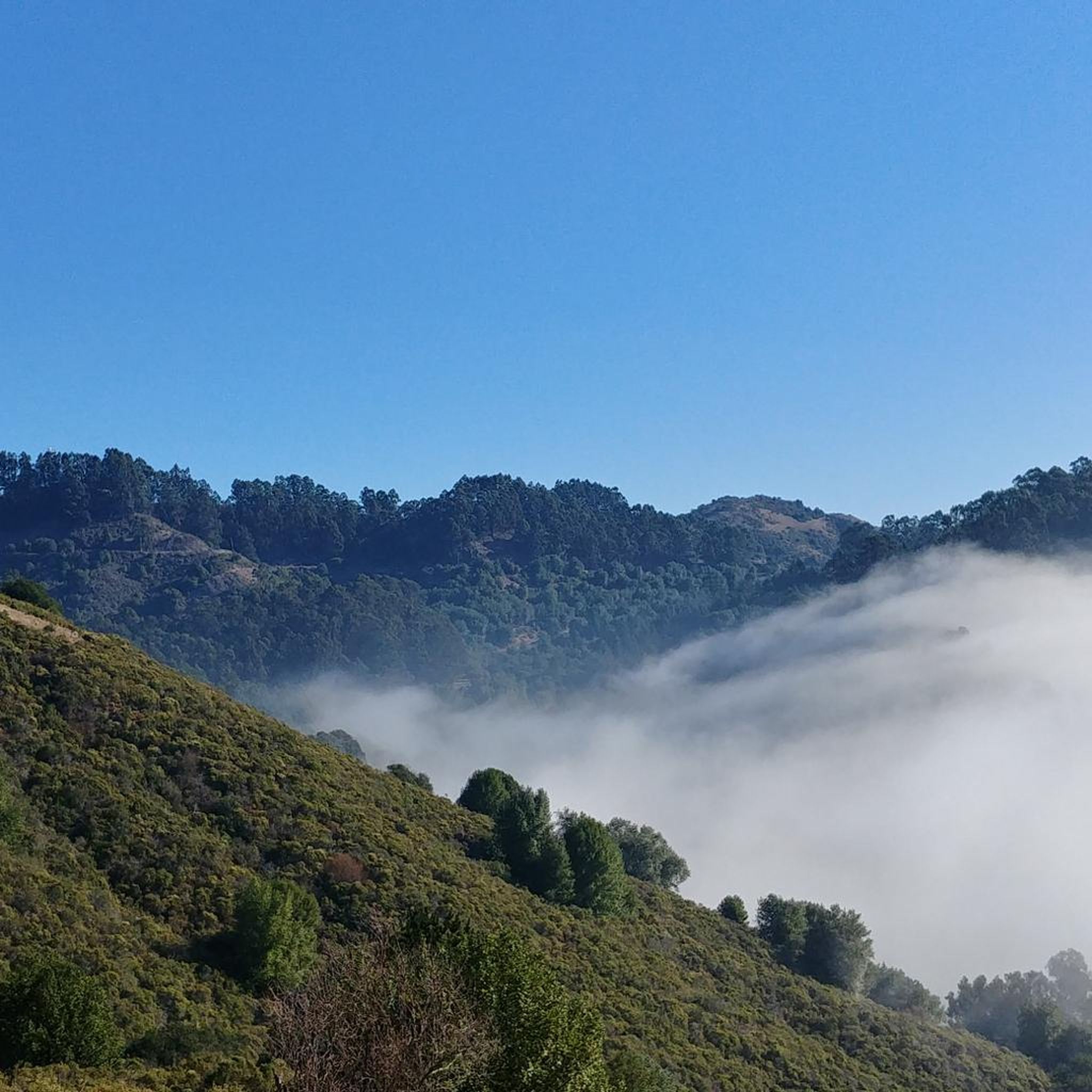
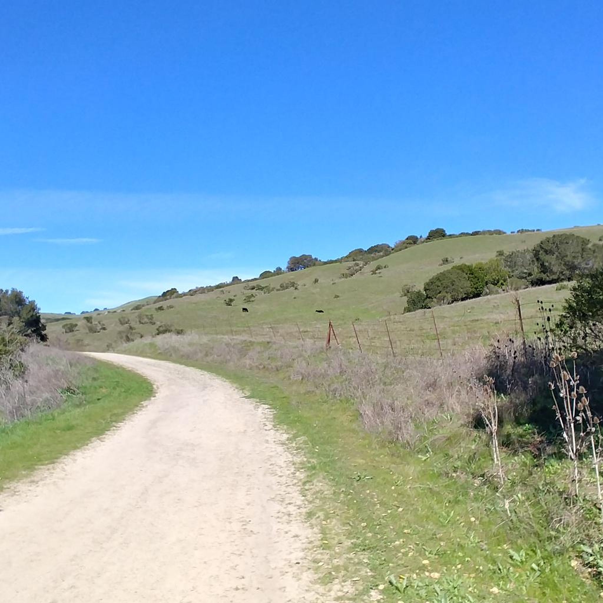
Touring cycling around El Cerrito features diverse landscapes, including urban green spaces and access to larger regional parks. The area provides panoramic views of the San Francisco Bay and Mount Tamalpais from its higher elevations. Terrain includes rolling grasslands, oak and eucalyptus groves, and wooded canyons with several small creeks. Extensive paved greenways and bayfront connections make it suitable for various cycling preferences.
Best touring cycling routes around El Cerrito
- The most popular touring cycling route is Richmond Bay Trail…
Last updated: August 11, 2026
5.0
(1)
95
riders
64.3km
04:31
1,190m
1,190m
Hard bike ride. Very good fitness required. Mostly paved surfaces. Suitable for all skill levels.
5.0
(1)
70
riders
40.6km
02:23
130m
130m
Moderate bike ride. Good fitness required. Mostly paved surfaces. Suitable for all skill levels.

Sign up for free
5.0
(3)
95
riders
41.9km
02:52
690m
690m
Hard bike ride. Very good fitness required. Mostly paved surfaces. Suitable for all skill levels.
9
riders
17.4km
01:31
310m
310m
Moderate bike ride. Good fitness required. Mostly paved surfaces. Suitable for all skill levels.
14
riders
Easy bike ride. Great for any fitness level. Mostly paved surfaces. Suitable for all skill levels.
Get access to more routes and recommendations from other explorers.
Sign up for free
Already have an account?
Our route recommendations are based on thousands of hikes, rides, and runs completed by other people on komoot.
Start today with a free account
Your next adventure awaits.
Login or Signup

Tips from the Community


The public library is right across the street from the Ohlone Greenway. This pretty little red and white striped building is open to the public and has clean restrooms, WiFi, and water fountains as well as books.
1
0

If you're coming from North Point Isabel, when you reach the Richmond Bay & San Francisco Bay Trails Junction, you have two options. Take a right to hop onto the Richmond Bay Trail. If you are coming from the Richmond Bay Trail, you can turn to join the San Francisco Bay Trail. This will lead you to McLaughlin Eastshore State Park and further down to Berkeley.
1
0

This crossing was created by the Friends of Five Creeks as part of one of their larger restoration projects that began in 1999 to revive the area where Codornices Creek crosses the Ohlone Greenway. Inspired and led by local architect Todd Jersey, the project has transformed the site by replacing ivy and trash with native plants, improving access, and adding a beautiful observation railing.
0
0

Point Emery, located on the SF Bay Trail, is a charming little park with stellar bay views, walking paths, and relaxation spots with benches along the trails. Open daily from 5 AM to 10 PM, Point Emery provides a perfect outdoor setting for families and dog owners, with designated off-leash areas for pets. The park features two launches: a wide sandy beach north of the parking lot and a narrow set of stairs near the Point, making it popular for kayakers, paddleboarders, and kiteboarders. The short walk to the beach, through small dunes and down steps, gives way to a beautiful stretch of golden sand. Although there are no public transportation services nearby, a good amount of parking is available.
0
0
Cedar Rose Park, located on the Ohlone Greenway, is a 5-acre park with two play areas, picnic sites with BBQ grills, and sports courts. It has a public restroom, allows dogs, and provides picnic tables. Open daily from 6 a.m. to 10 p.m., the park features a fenced tot lot, a large green field, and a playground for older children, making it a popular family destination.
0
0

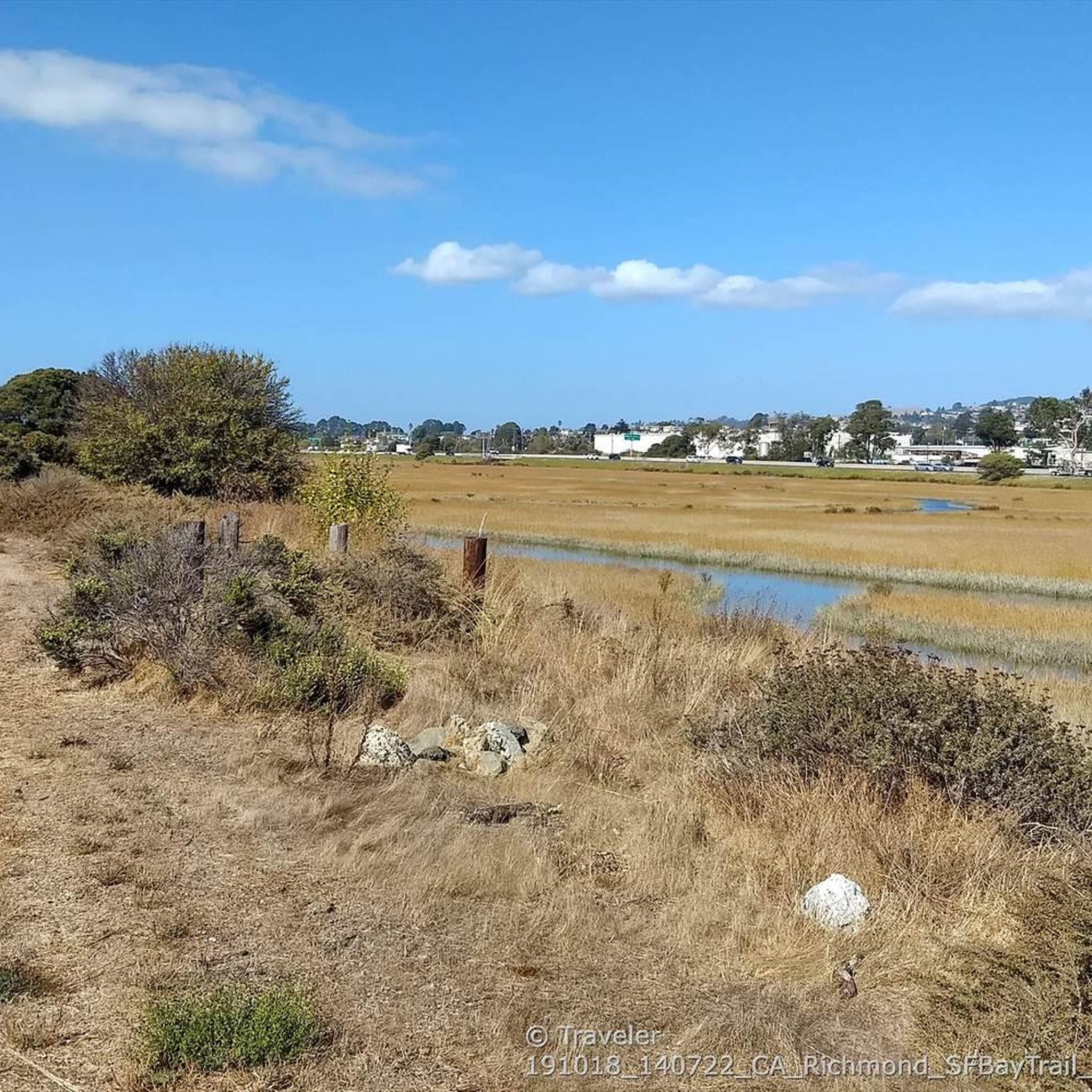
Excellent paved bike / multi-use trail along the water, part of the - eternally unfinished - San Francisco Bay Trail project
0
1
Frequently Asked Questions
How many touring cycling routes are available in El Cerrito?
El Cerrito offers a good selection of touring cycling routes, with over 20 routes available for exploration. These routes cater to various skill levels, from easy rides to more challenging ascents.
Are there easy touring cycling routes suitable for beginners or families?
Yes, El Cerrito has several easy touring cycling routes perfect for beginners or families. The area features extensive paved greenways and bayfront connections. For example, the Codornices Creek crossing – Cedar Rose Park loop from El Cerrito Plaza is an easy option, offering a gentle ride through urban green spaces.
What kind of challenging routes can I find for touring cycling in El Cerrito?
For those seeking a challenge, El Cerrito's hilly natural areas provide routes with significant elevation changes. The Lincoln Hill Pathway – Marie Dhority Bridge loop from El Cerrito del Norte is a difficult route covering nearly 75 miles with substantial climbing, offering a rewarding experience for advanced touring cyclists.
Are there any scenic viewpoints or natural attractions along the cycling routes?
Absolutely. El Cerrito offers panoramic views of the San Francisco Bay, the Golden Gate Bridge, and Mount Tamalpais from higher elevations. Routes often pass through diverse landscapes like rolling grasslands, oak groves, and wooded canyons. You can also find highlights like the San Francisco View or a 360-degree viewpoint, providing stunning vistas during your ride.
Can I find routes that are circular or loop back to the start?
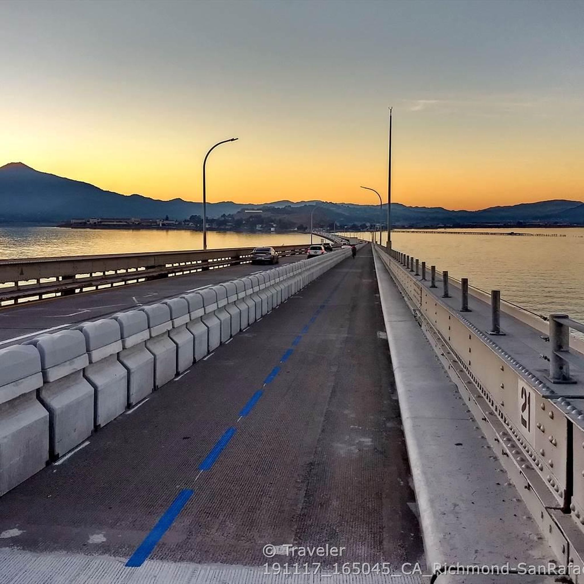
Many touring cycling routes in El Cerrito are designed as loops, bringing you back to your starting point. Examples include the popular Richmond Bay Trail – San Rafael Bridge Bike Path loop from El Cerrito Plaza, which offers bayfront riding, and the Albany Library Murals – Inspiration Point Overlook loop from El Cerrito Plaza, known for its scenic overlooks.
How can I access the cycling routes using public transport?
El Cerrito's cycling network is well-integrated with public transport. The Ohlone Greenway, often called the 'BART Path,' runs parallel to BART tracks, providing direct access to local amenities and BART stations. This makes it convenient to start or end your ride using public transit. You can find more information about the Ohlone Greenway on the city's website: elcerrito.gov/536/The-BART-Path.
Where can I park my car when visiting the cycling trails?
Parking is generally available near many trailheads and parks in El Cerrito. For routes starting from El Cerrito Plaza or El Cerrito del Norte, there are typically parking options nearby. It's always a good idea to check specific starting points for parking availability before your ride.
What is the best time of year to go touring cycling in El Cerrito?
El Cerrito offers pleasant touring cycling conditions for much of the year. The diverse landscapes, from bayfront to hilly natural areas, can be enjoyed in various seasons. While specific weather conditions can vary, the mild climate of the Bay Area generally allows for comfortable riding outside of heavy rain periods.
Are there any specific greenways or paved paths for touring cyclists?
Yes, El Cerrito is known for its paved greenways. The Ohlone Greenway is a prominent multi-use path that provides an excellent off-street route through natural habitats. Additionally, the San Francisco Bay Trail offers extensive bayfront riding, and the Ocean View Pathway provides a protected bike lane along the shoreline, connecting to the Bay Trail.
What do other cyclists say about touring cycling in El Cerrito?
The touring cycling routes around El Cerrito are highly regarded by the komoot community, with an average rating of 4.9 stars from over 10 reviews. Cyclists often praise the diverse landscapes, from urban green spaces to scenic bay views, and the variety of routes suitable for different ability levels.
Are there opportunities to connect to larger regional parks from El Cerrito?
El Cerrito's location provides convenient access to major regional parks, significantly extending cycling opportunities. You can easily connect to parks like Tilden, Wildcat Canyon, and Briones Regional Parks. Within Wildcat Canyon, routes like the San Pablo Ridge Trail offer stunning views of the Bay Area and Mount Diablo.
What are some unique natural features I might encounter while cycling?
Beyond the panoramic bay views, El Cerrito's terrain features rolling grasslands, dense oak and eucalyptus groves, and wooded canyons with several small creeks. The Hillside Natural Area, a 107-acre open space, showcases this ecological diversity with seasonal wildflowers. Canyon Trail Park also features a picturesque creek and lush vegetation, along with ancient petroglyph boulders, adding a historical element to your ride.
Can I find routes that explore both urban and natural settings?
Many routes in El Cerrito seamlessly blend urban green spaces with natural areas. You can cycle through city parks and then quickly transition to trails offering views of the San Francisco Bay and surrounding hills. The Tiller Park – Jewel Lake loop from El Cerrito del Norte is an example of a moderate route that combines different environments.
Most popular routes around El Cerrito
Most popular attractions around El Cerrito

Get inspired with the komoot mobile app


Explore more
Browse the best Cycling routes in other regions.
