The best cycling routes around San Carlos
4.7
(194)
3,717
riders
14
rides
Touring cycling routes around San Carlos offer diverse landscapes, ranging from challenging ascents to leisurely rides on well-paved surfaces. The region features varied terrain, scenic views, and access to natural attractions like open space preserves and the San Francisco Bay shoreline. Cyclists can explore woodlands, native grasslands, and paths along shoreline levees, with elevation changes providing options for different fitness levels.
Best touring cycling routes around San Carlos
- The most popular touring cycling route is Pulgas Water Temple – Woodside Store Historic Site loop from Pulgas Ridge Open Space Preserve, a 19.7 miles (31.6 km) trail that takes 1 hour 59 minutes to complete. This moderate route features the historic Pulgas Water Temple and winds through varied terrain within the open space preserve.
- Another top favourite among local touring cyclists is Woodside Store (Historic Site) – Portola Road loop from Pulgas Ridge Open Space Preserve, a difficult 25.7 miles (41.4 km) path. This trail leads through open space with significant elevation gain.
- Local touring cyclists also love the Old La Honda Road – Tree Tunnel on Portola Road loop from Pulgas Ridge Open Space Preserve, a 27.5 miles (44.3 km) trail leading through varied terrain with substantial elevation gain, often completed in about 3 hours 9 minutes.
- Touring cycling around San Carlos is defined by shoreline paths, open space preserves, and rolling hills. The network offers options for different ability levels, from easy, flat rides to more challenging routes with considerable climbs.
- The routes in San Carlos are highly rated by the komoot community with an average score of 4.8 stars from over 150 reviews. More than 3,600 touring cyclists have used komoot to explore San Carlos's varied terrain.
Last updated: October 12, 2026
5.0
(3)
57
riders
Hard bike ride. Very good fitness required. Mostly paved surfaces. Suitable for all skill levels.
49
riders
Hard bike ride. Very good fitness required. Mostly paved surfaces. Suitable for all skill levels.

32
riders
85.7km
05:39
1,190m
1,190m
Hard bike ride. Very good fitness required. Mostly paved surfaces. Suitable for all skill levels.
5.0
(1)
17
riders
29.7km
01:53
340m
340m
Moderate bike ride. Good fitness required. Mostly paved surfaces. Suitable for all skill levels.
17
riders
19.5km
01:49
480m
480m
Hard bike ride. Very good fitness required. Mostly paved surfaces. Suitable for all skill levels.
Get access to more routes and recommendations from other explorers.
Already have an account?
Our route recommendations are based on thousands of hikes, rides, and runs completed by other people on komoot.
Start today with a free account
Your next adventure awaits.
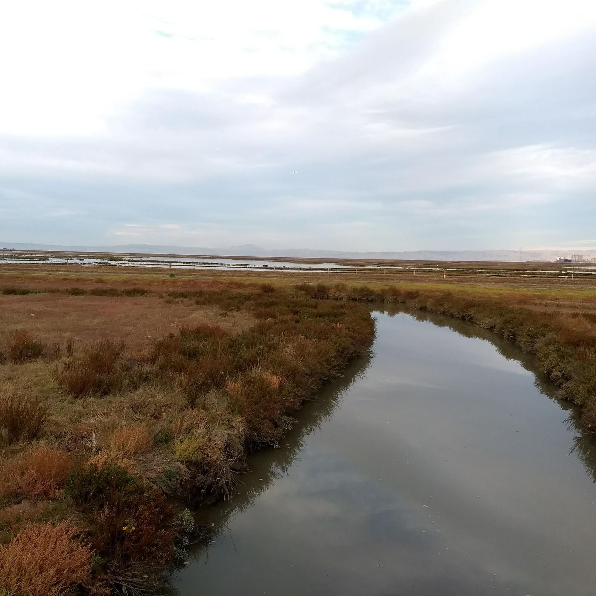
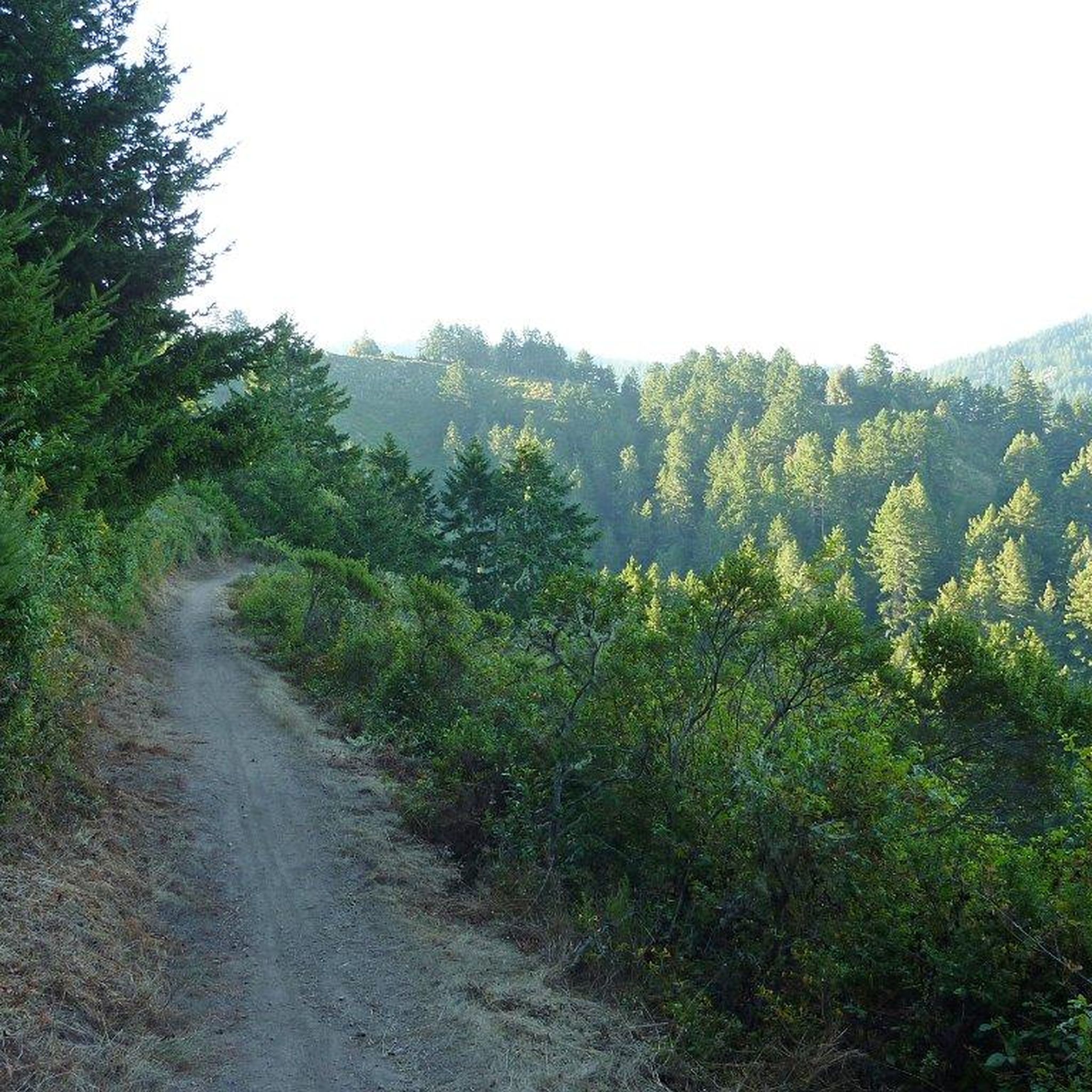

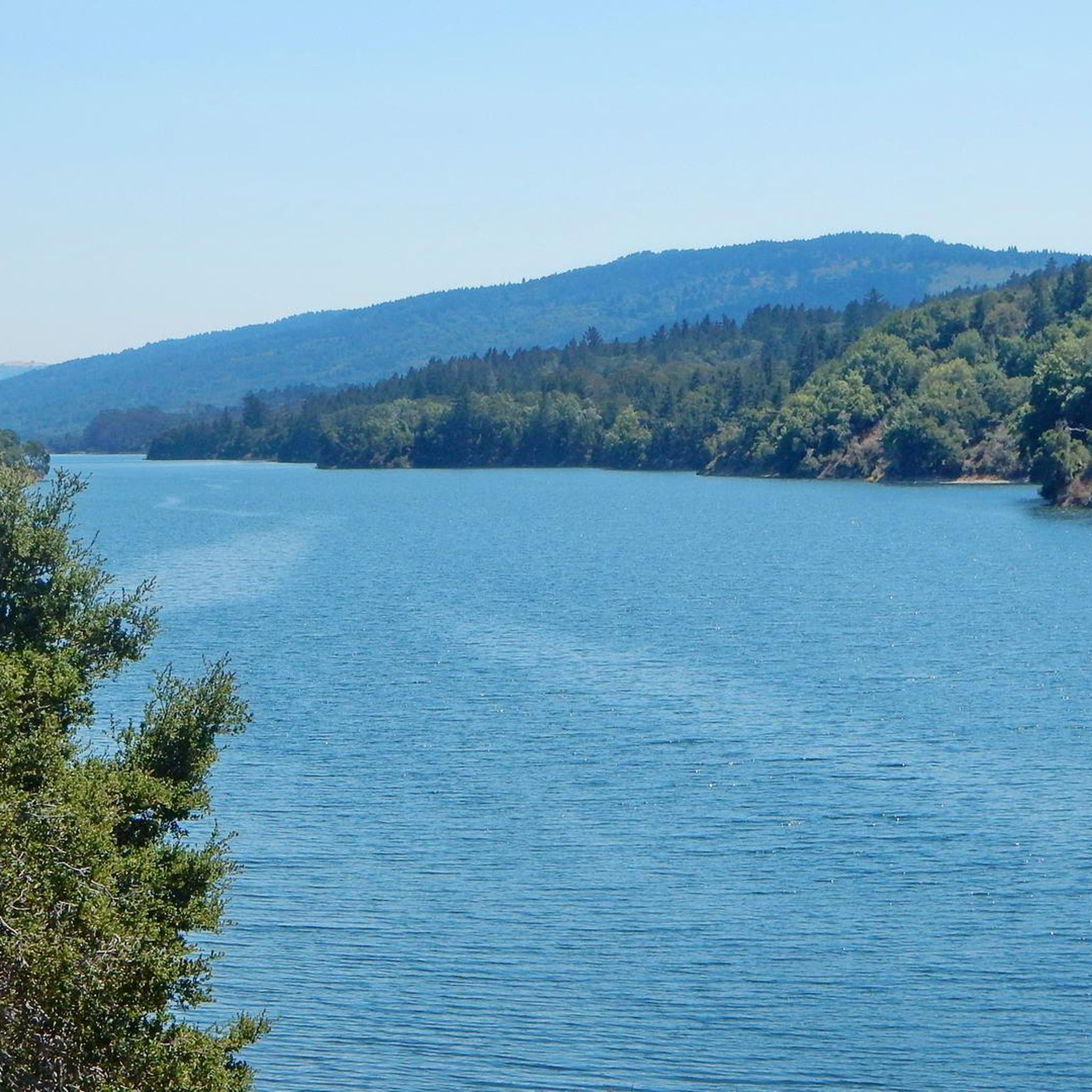
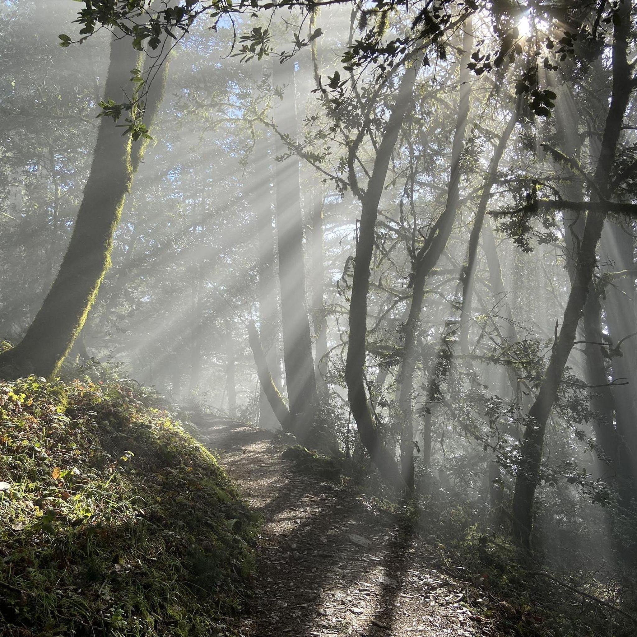
Tips from the Community

A fun, pretty place to stop while riding Cañada road. I has water and an air pump and bathrooms. Take a photo with friends.
0
0

A nice pocket of multi-use, natural-surface trails. Dogs are allowed, but must be kept on leash.
0
0
You're not hallucinating: This monument was deliberately built in the style of ancient Greek and Roman architecture, to commemorate the Great Depression-era Hetchy Hetchy Project that brought water down from the mountains to the Bay Area. The frieze says, “I give waters in the wilderness and rivers in the desert, to give drink to my people.”
1
0

This winding side road is very lightly trafficked and carries you between Stanford and the Palo Alto hills with partial shade the entire way. On the east side of the road you will find Frenchman's Tower, and old brick landmark.
0
0
Woodside Store was built back in the 1850s by two pioneers who came to California for the gold rush. At the time it was the only stagecoach stop between San Francisco and Santa Clara, and it carried all the essential items that travelers riding between cities might need. The store has been restored, inside and out, to look exactly as it did centuries ago. You can call the museum ahead of your trip to book tours.
0
0
There are a handful of trails here which treat you to views of the foothills across the reservoir. Upper Crystal Springs Reservoir provides water to the San Francisco Peninsula, and you can bike along its entire eastern shoreline.
0
0

Water Dog Lake, also known as the John Brooks Memorial Open Space, is located in Belmont, California. The park features a network of trails open for hiking and mountain biking, but dogs must be kept on leash at all times.
0
0
Frequently Asked Questions
How many touring cycling routes are available around San Carlos?
There are over 170 touring cycling routes around San Carlos, offering a wide variety of experiences. These routes are highly rated by the komoot community, with an average score of 4.8 stars.
What types of terrain can I expect on touring cycling routes in San Carlos?
Touring cycling routes in San Carlos, California, feature diverse landscapes. You'll find everything from challenging ascents in areas like Pulgas Ridge Open Space Preserve to leisurely rides on well-paved surfaces along the San Francisco Bay Trail. The region includes woodlands, native grasslands, and paths along shoreline levees, with elevation changes common across many routes.
Are there any easy touring cycling routes suitable for beginners or families?
Yes, San Carlos offers several easy touring cycling routes. A great option is the Bay Trail on Foster City Levee – Mariners Point loop from Belmont, which is 20.9 miles long and offers expansive views along the San Francisco Bay shoreline with minimal elevation gain. Another easy route is the Hayward Bridge – The Werder Fishing Pier loop from Belmont.
What are some challenging touring cycling routes in the San Carlos area?
For those seeking a challenge, routes with significant elevation gain are available. The Woodside Store (Historic Site) – Portola Road loop from Pulgas Ridge Open Space Preserve is a difficult 25.7-mile trail with considerable climbs. Another demanding option is the Belmont CalTrain Station – Water Dog Lake loop from Belmont, which features over 600 meters of elevation gain.
What interesting landmarks or natural attractions can I see along the cycling routes?
Many routes pass by notable landmarks and natural features. You can visit the historic Pulgas Water Temple, which is featured on routes like the Pulgas Water Temple – Woodside Store Historic Site loop. Other attractions include the Lower Crystal Springs Reservoir and the Pond SF2 with Historical Baylands Exhibit.
Are there any circular touring cycling routes in San Carlos?
Yes, many touring cycling routes in San Carlos are designed as loops, allowing you to start and end at the same point. Examples include the Bay Trail on Foster City Levee – Mariners Point loop and the Pulgas Water Temple – Woodside Store Historic Site loop.
What do other touring cyclists enjoy most about cycling in San Carlos?
The area is highly rated by the komoot community, with an average score of 4.8 stars from over 150 reviews. Reviewers often praise the diverse terrain, from scenic shoreline paths to challenging open space preserves, and the well-maintained routes that cater to various fitness levels.
Are there any routes that offer views of the San Francisco Bay?
Absolutely. The San Francisco Bay Trail segments provide excellent opportunities for bay views. The Bay Trail on Foster City Levee – Mariners Point loop is particularly known for its expansive views along the shoreline.
Can I find routes that pass through natural preserves or parks?
Yes, San Carlos is rich in natural preserves. Many routes traverse or pass by areas like Pulgas Ridge Open Space Preserve, Edgewood Park & Natural Preserve, and Eaton Park, offering cyclists a chance to experience woodlands, native grasslands, and diverse wildlife.
What is the best time of year for touring cycling in San Carlos?
San Carlos generally offers pleasant cycling conditions year-round, but spring and fall often provide the most comfortable temperatures and clear skies. Summers can be warm, especially inland, while winters are typically mild with occasional rain.
Are there options for public transport access to the cycling routes?
While specific public transport details for each trailhead vary, routes like the Belmont CalTrain Station – Water Dog Lake loop indicate proximity to public transit hubs like CalTrain stations, which can facilitate access to the starting points of some routes.
Are there any routes that feature lakes or reservoirs?
Yes, several routes offer views of or pass near bodies of water. The Lower Crystal Springs Reservoir is a prominent feature in the area, and some routes may offer scenic views of it. Additionally, the Oracle Lagoon is another nearby lake.
Most popular routes around San Carlos
Most popular attractions around San Carlos

Get inspired with the komoot mobile app


Explore more
Browse the best Cycling routes in other regions.
