The best cycling routes around Daly City
4.4
(400)
11,830
riders
229
rides
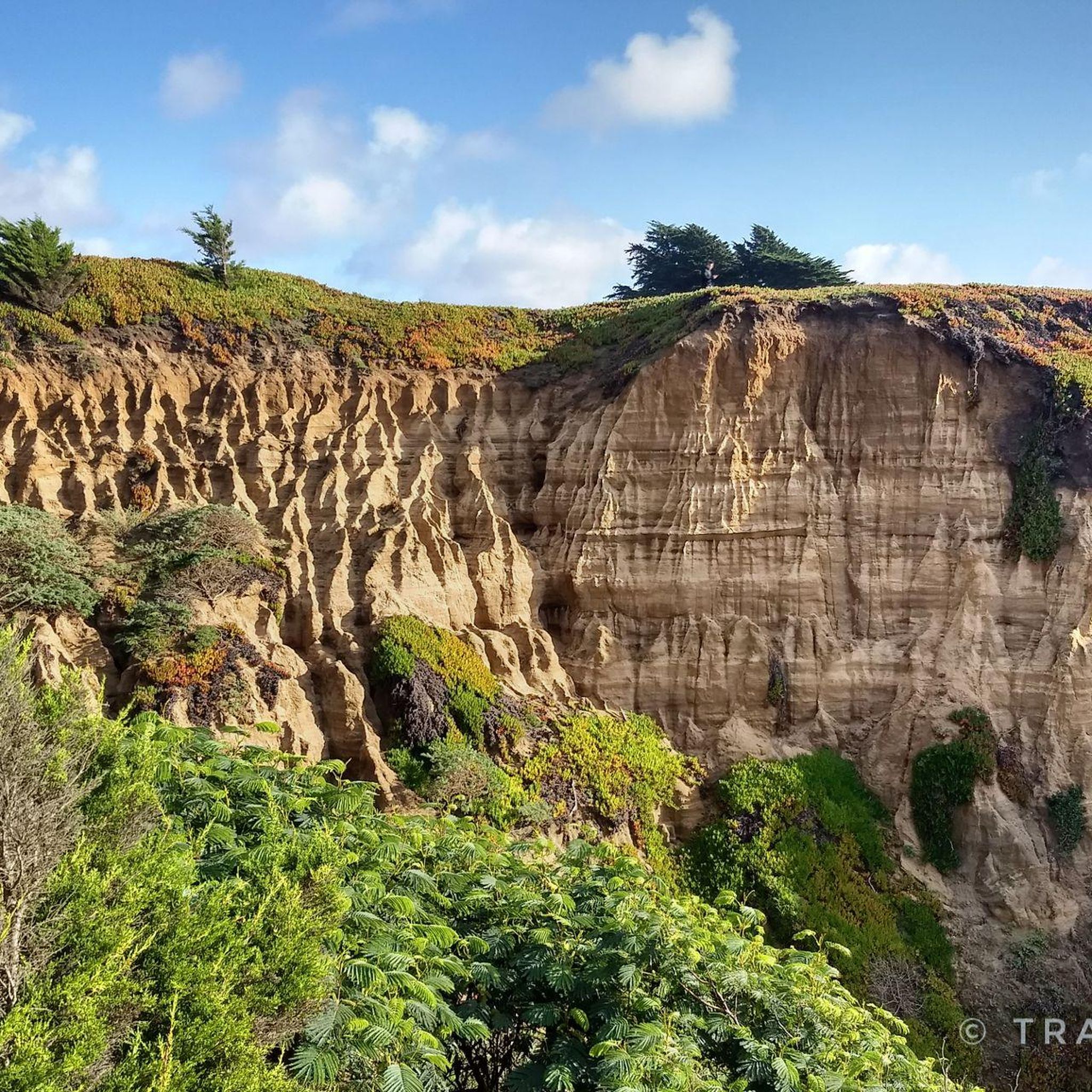
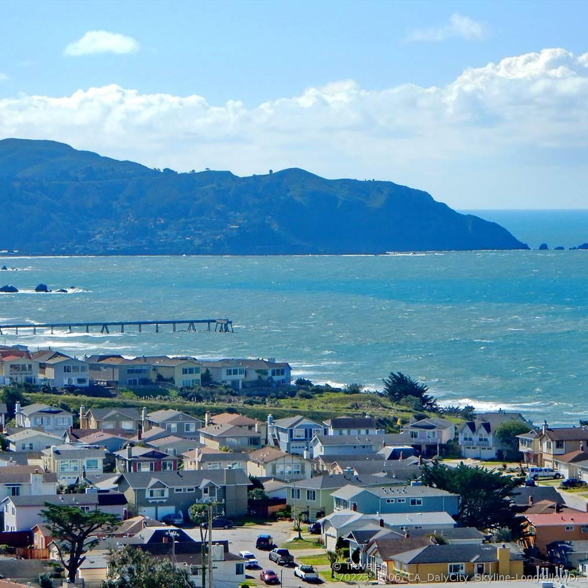
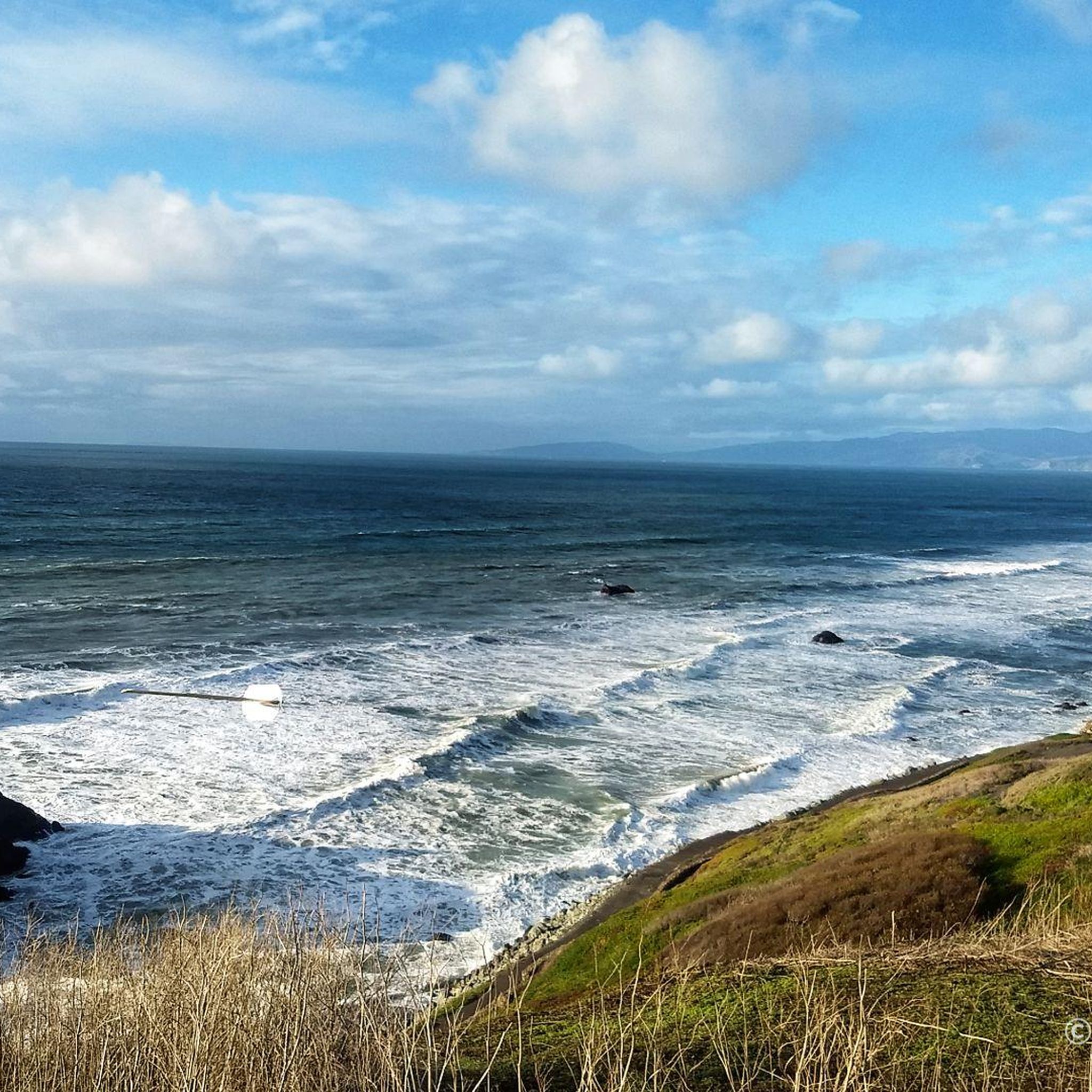
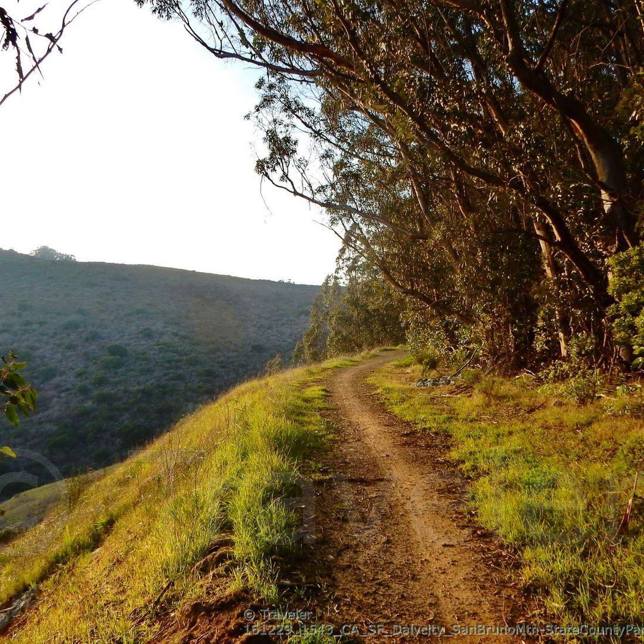
Touring cycling routes around Daly City navigate a diverse landscape characterized by significant elevation changes and extensive coastal access. The region features hilly terrain, including San Bruno Mountain, offering challenging climbs and panoramic views of the Pacific Ocean. Routes often incorporate stretches along the unspoiled coastline, providing dramatic scenery and refreshing sea air. Proximity to natural features like Lake Merced and connections to the wider Bay Area expand the range of cycling experiences available.
Best touring cycling routes around Daly City
- The most popular touring cycling route is Classic Loop — San Francisco, a 25.9 miles (41.7 km) trail that takes 2 hours 35 minutes to complete. This moderate route offers varied urban and scenic views, connecting Daly City to San Francisco.
- Another top favourite among local touring cyclists is Montara via Devil's Slide Trail — Daly City, a difficult 30.7 miles (49.5 km) path. This route features stunning coastal views and challenging terrain along the Devil's Slide Trail.
- Local touring cyclists also love the Murphy Windmill – Golden Gate Park loop from Colma, a 20.5 miles (33.0 km) trail leading through urban parks and scenic areas, often completed in about 1 hour 58 minutes.
- Touring cycling around Daly City is defined by coastal paths, challenging hills, and connections to broader Bay Area trails. The network offers options for various ability levels, from moderate urban loops to difficult coastal ascents.
- The routes in Daly City are highly rated by the komoot community with an average score of 4.4 stars from more than 300 reviews. More than 11,000 touring cyclists have used komoot to explore Daly City's varied terrain.
Last updated: October 10, 2026
4.3
(8)
29
riders
41.7km
02:35
350m
350m
The San Francisco Bay Trail Loop offers a dynamic touring cycling experience, weaving through a mix of urban landscapes, tranquil wetlands, and stunning Bay views. You'll encounter diverse terrain, from smooth paved paths to gravel and off-road sections, passing by highlights like Lake Merced and the Crissy Field Marsh. This moderate 25.9-mile (41.7 km) route, with 1146 feet (349 metres) of elevation gain, is a fantastic way to see the Bay Area, taking about 2 hours and 35 minutes to complete.
While the Bay Trail is a network rather than a single continuous loop, this route provides a substantial journey. Be aware that some sections may require navigation around incomplete segments, and local rules can vary along the extensive path. It's best to plan your specific access points and route details in advance, especially if you're looking for San Francisco Bay Trail Loop parking and access points.
This ambitious project aims to create a 500-mile multi-use path encircling the entire San Francisco Bay, with over 350 miles already completed. The trail offers unique experiences and breathtaking views, connecting numerous attractions like marinas, fishing piers, and cultural landmarks, making it a significant recreational asset for the region.
4.4
(5)
18
riders
49.5km
03:31
830m
830m
If you're seeking a truly challenging touring cycling experience along the California coast, the Pacific Coast Bike Route from Daly City to Montara delivers. This difficult 30.8-mile (49.5 km) route is a test of endurance, featuring substantial climbs and descents, particularly around Montara Mountain. You'll navigate a mix of pavement, gravel, and even rocky sections, all while being treated to breathtaking views of the Pacific Ocean and rugged coastal bluffs.
Planning your ride requires a good fitness level and a bike ready for varied terrain. This point-to-point journey, which typically takes about 3 hours and 30 minutes, offers incredible scenery but demands careful preparation. While specific trailhead parking isn't detailed, ensure you have a solid plan for your start in Daly City and your finish in Montara, California.
This segment is a highlight of the larger Pacific Coast Bike Route, renowned for its continuous ocean panorama and diverse landscapes. It's a prime example of the best bike routes San Mateo Coast has to offer for those who love a challenge, passing by natural features like Mori Point Headlands and the famous Devil's Slide Trail. The route's significant 2722 feet (829 metres) of elevation gain makes it a memorable ride for experienced cyclists.

4.5
(4)
116
riders
35.9km
02:09
230m
230m
Moderate bike ride. Good fitness required. Mostly paved surfaces. Suitable for all skill levels.
5.0
(2)
19
riders
20.5km
01:23
220m
220m
Moderate bike ride. Good fitness required. Mostly paved surfaces. Suitable for all skill levels.
5.0
(1)
12
riders
83.6km
04:55
350m
350m
Moderate bike ride. Good fitness required. Mostly paved surfaces. Suitable for all skill levels.
Get access to more routes and recommendations from other explorers.
Already have an account?
Our route recommendations are based on thousands of hikes, rides, and runs completed by other people on komoot.
Start today with a free account
Your next adventure awaits.
Tips from the Community

The headwind when riding north can be brutal some days. The bike lane on both sides is wide and expansive. It's a really safe place to ride with beautiful views.
0
0

In the 1870s and 1880s, Golden Gate Park was planted on sand dunes and required substantial irrigation. In 1902, the Park Commission authorized the construction of two windmills to pump groundwater for park irrigation rather than purchasing water at exorbitant costs from the Spring Valley Water Company. The Murphy Mill was completed in 1908,[4] and pumped 40,000 US gallons (150,000 L) per hour to the park.
0
0
In the 1870s and 1880s, Golden Gate Park was planted on sand dunes and required substantial irrigation. In 1902, the Park Commission authorized the construction of two windmills to pump groundwater for park irrigation rather than purchasing water at exorbitant costs from the Spring Valley Water Company. The Murphy Mill was completed in 1908,[4] and pumped 40,000 US gallons (150,000 L) per hour to the park.
0
0

The Bay Trail wraps around Baywinds Park at Mariners Point. The views are great, and the trail is smooth and paved. Expect a bay breeze, especially windy in the afternoons.
1
0

This long, dark-sanded beach has a well-packed coastal trail which follows the water's edge between the pier and Mori Point. It connects to a great network of trails along the ocean on the south side of town.
0
0

Water circulates during daylight hours between a lake and an uphill reservoir
0
0

Sprawling over 1,000 acres from the edge of Haight-Ashbury to Ocean Beach, Golden Gate Park is bigger than NYC’s Central Park. It’s packed with museums, gardens, lakes, bison, and all kinds of hidden corners to explore. Complete in the 1870s the park has been home to everything from world’s fairs to music festivals, and today it’s still a gathering place for locals and visitors alike.
1
0
Along with Pine Lake, and Mountain Lake, Lake Merced is one of three freshwater lakes in San Francisco. The lake is fed through a natural underground spring and provides opportunities for all sorts of outdoor activities.
0
0
Frequently Asked Questions
How many touring cycling routes are available around Daly City?
There are over 240 touring cycling routes around Daly City, offering a diverse range of experiences for cyclists. These routes are highly rated by the komoot community, with an average score of 4.4 stars from more than 300 reviews.
Are there easy touring cycling routes suitable for beginners in Daly City?
Yes, Daly City offers a good selection of routes for beginners. With 89 easy routes, you can find options that are less challenging. For example, routes around Lake Merced often feature moderate elevation changes and are accessible for various fitness levels, providing a dedicated cycling experience.
What kind of terrain can I expect on touring cycling routes in Daly City?
Touring cycling routes in Daly City feature a diverse landscape. You can expect significant elevation changes, especially in areas like San Bruno Mountain, offering challenging climbs. Many routes also incorporate extensive coastal access, providing stunning Pacific Ocean vistas and refreshing sea air along stretches like those near Thornton State Beach and Mussel Rock Park.
What are some notable natural features or landmarks I can see while cycling in Daly City?
While cycling around Daly City, you can encounter several natural features and landmarks. Highlights include the scenic Pacific coastline, the challenging hills of San Bruno Mountain State & County Park, and the tranquil waters of Lake Merced. You might also pass by San Andreas Lake or the historic Dutch Windmill.
Are there any circular touring cycling routes in Daly City?
Yes, many touring cycling routes in Daly City are designed as loops. For instance, the Murphy Windmill – Golden Gate Park loop from Colma is a popular circular route. Another option is the Rockaway Beach – Mori Point Headlands loop from Mussel Rock, which offers coastal views.
What is the best time of year for touring cycling in Daly City?
Daly City offers good cycling conditions throughout much of the year, but many routes are particularly popular in May and June. The region's coastal influence means refreshing sea air, but it's always advisable to check local weather forecasts for current conditions before heading out.
Can I find family-friendly touring cycling routes in Daly City?
While specific 'family-friendly' designations are not always explicit, many of the easier and moderate routes, particularly those on well-paved surfaces or around areas like Lake Merced, can be suitable for families. These routes often have less challenging elevation and provide a pleasant experience for various ages.
Are there dog-friendly touring cycling routes in Daly City?
While many parks and trails in the Daly City area welcome dogs, specific rules regarding dogs on cycling routes can vary. It's best to check the regulations for individual parks or trails, such as San Bruno Mountain State Park or Thornton State Beach, to ensure your dog is permitted on the cycling paths and to understand any leash requirements.
Where can I park my car when accessing touring cycling routes in Daly City?
Parking availability varies by location. For routes accessing San Bruno Mountain, there are parking areas within San Bruno Mountain State & County Park. For Lake Merced, parking is typically available around the lake. Coastal access points like Thornton State Beach and Mori Point also have designated parking facilities. Always look for official parking areas to ensure convenience and safety.
Are there any cafes or pubs near the touring cycling routes in Daly City?
Yes, given Daly City's urban and suburban setting, you can find various cafes and pubs in proximity to many cycling routes. Areas near Lake Merced, or along routes that pass through local towns and neighborhoods, will offer opportunities for refreshments and breaks. It's a good idea to plan your route with potential stops in mind.
Do I need any special permits for touring cycling on trails in Daly City?
Generally, no special permits are required for touring cycling on most public trails and roads in Daly City. However, for specific areas like state parks or protected natural areas, it's always wise to check their official websites for any unique regulations or permit requirements that might apply to cyclists.
What is the elevation gain like on touring cycling routes in Daly City?
Daly City's topography includes significant elevation changes, providing engaging challenges. Routes like Montara via Devil's Slide Trail — Daly City can feature substantial climbs, with over 800 meters of elevation gain. Even moderate routes, such as the Classic Loop — San Francisco, include around 350 meters of ascent, so be prepared for some hills.
Can I connect to broader Bay Area cycling trails from Daly City?
Absolutely. Daly City's location serves as an excellent gateway to wider Bay Area cycling adventures. Routes from Daly City can connect you to iconic destinations such as the Golden Gate Bridge, Tiburon, Montara, and even further south towards Half Moon Bay, allowing for extended touring opportunities with varied landscapes.
Most popular attractions around Daly City

Get inspired with the komoot mobile app


Explore more
Browse the best Cycling routes in other regions.
