The best cycling routes around Torrance
4.6
(262)
3,427
riders
15
rides
Touring cycling around Torrance, California, offers a diverse landscape for cyclists, ranging from coastal paths along the Pacific Ocean to scenic bluffs and unique natural preserves. The region is characterized by its extensive network of trails, providing access to both flat, paved routes and more challenging terrain with significant elevation gains. Its strategic location in the South Bay of Los Angeles County allows for varied cycling experiences.
Best touring cycling routes around Torrance
- The most popular touring cycling route is…
Last updated: November 7, 2026
5.0
(1)
6
riders
97.5km
05:55
640m
640m
2
riders
31.5km
01:50
160m
160m

4.8
(59)
581
riders
Moderate bike ride. Good fitness required. Mostly paved surfaces.
4.3
(7)
73
riders
43.9km
02:55
650m
650m
Hard bike ride. Very good fitness required. Mostly paved surfaces.
4.8
(9)
160
riders
71.5km
04:16
380m
380m
Moderate bike ride. Good fitness required. Mostly paved surfaces.
Get access to more routes and recommendations from other explorers.
Already have an account?
Our route recommendations are based on thousands of hikes, rides, and runs completed by other people on komoot.
Start today with a free account
Your next adventure awaits.
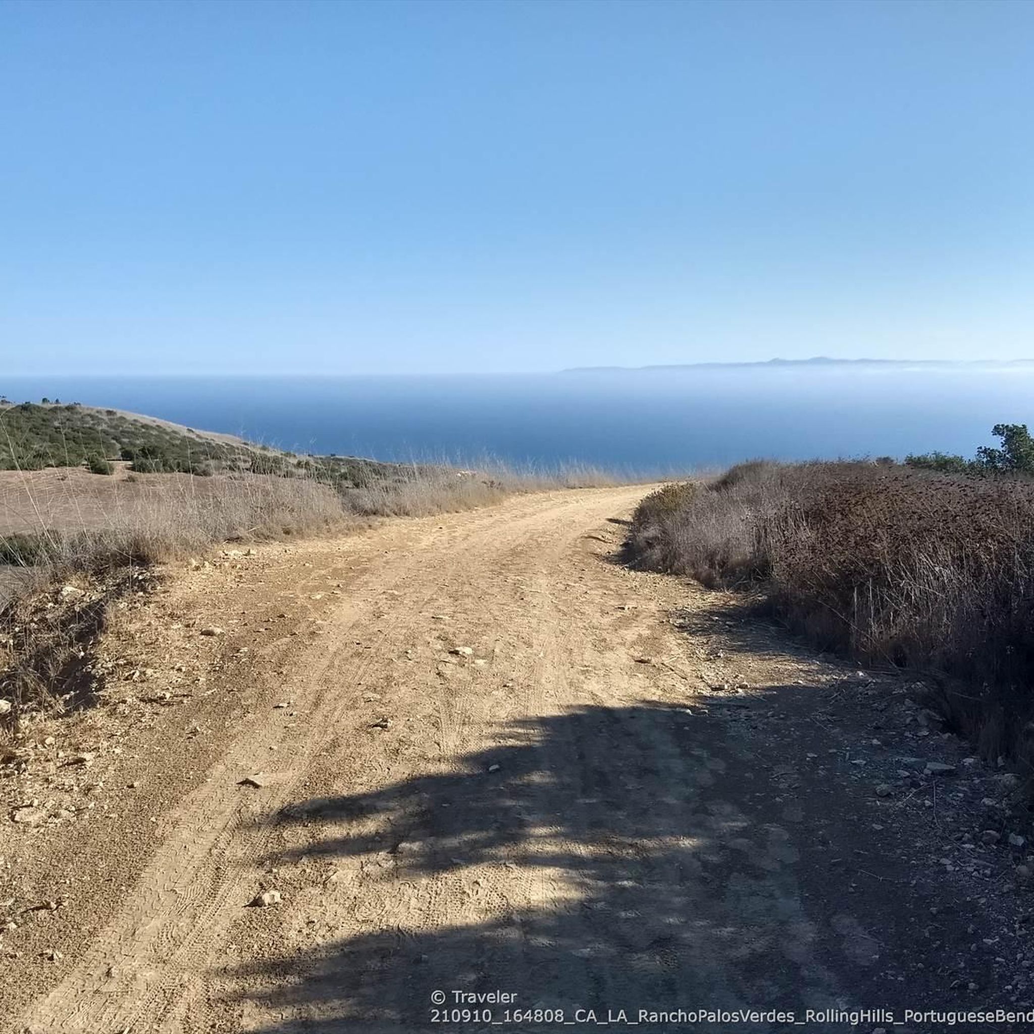
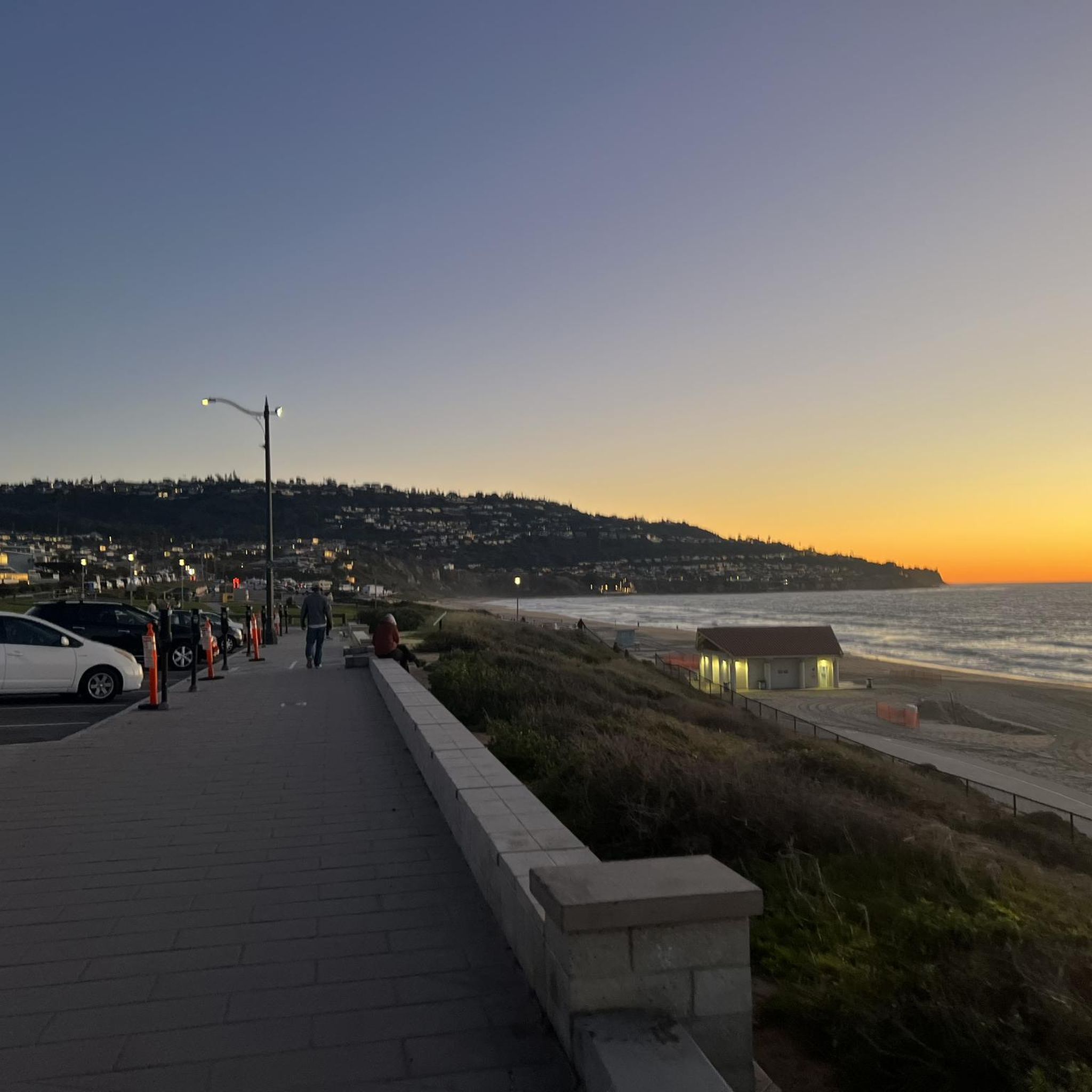
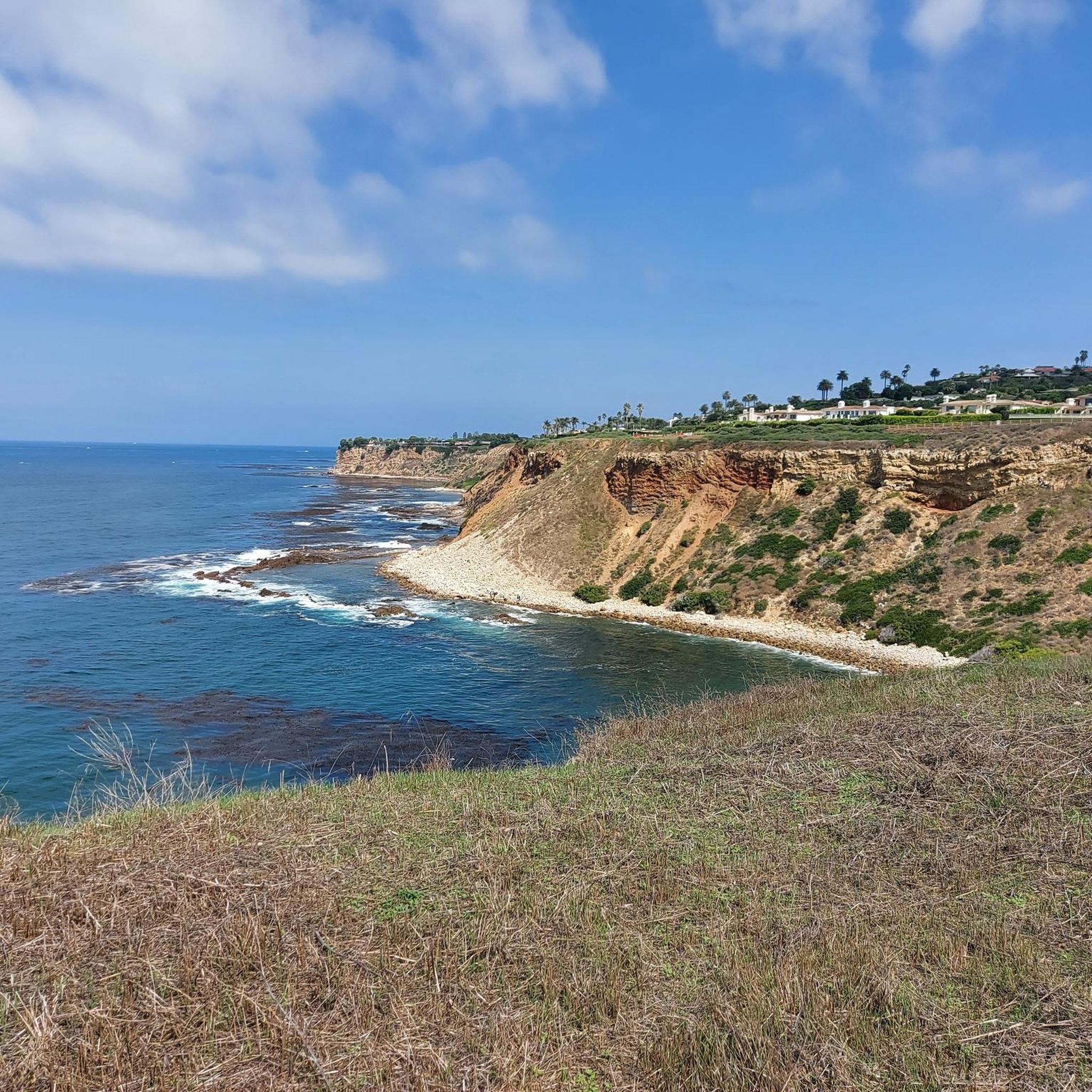
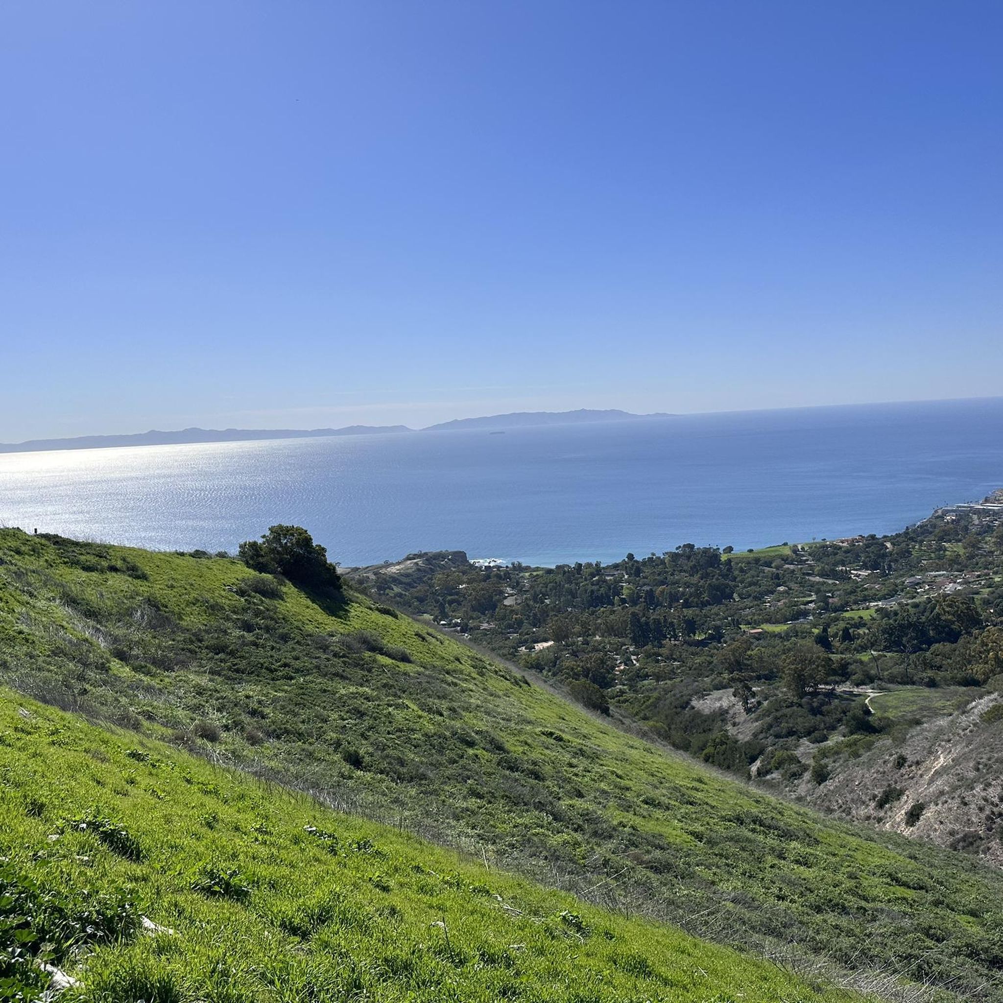
Tips from the Community

This path is very curvy, I think on purpose to slow people down.
0
0

From this spot you get an amazing view out to the Pacific Ocean.
0
0

Torrance Beach lies between Redondo Beach and Malaga Cove. The region shared by Torrance and Redondo Beaches is often called “RAT Beach” (short for “Right After Torrance” Beach or “Redondo and Torrance Beach”). This beautiful, soft sand beach has 40 acres of beach and is at the foot of cliffs which extend to the Palos Verdes Peninsula. There restrooms, a concession stand, showers, bike path, beach wheelchairs, and volleyball nets. Torrance Beach is great for swimming, fishing, scuba and skin diving, and surfing.
1
0

Ken Malloy Harbor Regional Park 231 is a public park with a golf course, lake, and freshwater wetland. The park is a dedicated city wildlife sanctuary, so this is an ideal spot for birding.
0
0

As you ride along Palos Verdes Drive West, look down into Bluff Cove, a scenic rocky cove popular with local surfers, scuba divers, and snorkelers braveing the shoreline. A hiking trail descends to Bluff Cove Beach, with a steeper trail leading to Flat Rock Point, where you can explore tide pools at low tide. Walking south beyond the cove takes you into Palos Verdes Estate Shoreline Preserve, continuing to Palos Verdes Point and the rusted remains of a shipwreck along the Shipwreck Hiking Trail.
1
0
Noble Park is a small park right on The Strand. The Millennium Walkway winds through this small park that is a little more than an acre in size. This is a popular place for kids to learn how to ride a bike before graduating to the strand. There are tall palm trees here and a few grassy hills, but not much else. It's small and a nice stop along a beach ride.
0
0
Torrance Beach sometimes goes by another name: locals call the last sandy stretch before the Palos Verdes cliffs "RAT" Beach, meaning "Right After Torrance." Torrance Beach, nestled between Redondo Beach and Malaga Cove, features 40 acres of soft sand at the base of cliffs extending to the Palos Verdes Peninsula. With over 300 parking spaces, many at the end of the Esplinade, the beach offers restrooms, showers, a concession stand, bike paths, and volleyball nets. It's a popular spot for swimming, fishing, scuba diving, and surfing.
0
0
Miramar Park, located on 1.6 acres above Torrance Beach, offers pristine ocean views and easy access to the shoreline via a ramp or staircase. Owned and maintained by the City of Torrance, the park was dedicated in 1984 after a collaborative effort with Los Angeles County to secure beach access. It features benches, security lighting, whimsical animal statues, and a plaque marking the historic site of the Hollywood Riviera Beach Club, which existed from 1931 to 1958. The park also includes a “Fido Fountain” for dogs and marks the end of the upper Esplanade.
0
0
Frequently Asked Questions
How many touring cycling routes are available in Torrance?
Torrance offers a diverse selection of touring cycling routes. Our guide features 15 curated routes, ranging from easy coastal rides to more challenging climbs, ensuring options for various skill levels.
What kind of terrain can I expect on touring cycling routes in Torrance?
You'll find a mix of terrain. Many routes feature mostly flat, paved coastal paths, such as sections of the iconic Marvin Braude Bike Trail. For those seeking a challenge, the nearby Palos Verdes Peninsula offers routes with significant elevation gains and stunning ocean views. Within Torrance, you can also find routes that loop through regional parks, providing a blend of natural scenery and recreational areas.
Are there family-friendly touring cycling routes in Torrance?
Yes, Torrance has several easy touring cycling routes suitable for families. These often include flat, paved sections along the coast, providing a safe and enjoyable experience. For example, the Redondo Beach Esplanade – El Segundo Beach loop from Catalina Avenue / Elena Avenue is an easy option that offers pleasant coastal views.
What scenic viewpoints or landmarks can I see along the touring cycling routes?
Torrance's routes offer numerous scenic highlights. You can enjoy continuous ocean views along coastal paths, and many routes provide access to stunning bluffs and beaches. Notable landmarks and viewpoints include Point Vicente Lighthouse, Bluff Cove, and Pelican Cove Park - Vincente Bluffs. The Torrance Beach itself is a beautiful starting or turnaround point.
Are there any good circular touring cycling routes in Torrance?
Yes, several routes in the area are designed as loops, allowing you to start and end at the same point. A popular option is the Ken Malloy Regional Park loop, which offers a moderate ride through a scenic park. For a more extensive coastal experience, consider the Marvin Braude and Ballona Creek Bike Path Loop.
What is the best time of year to go touring cycling in Torrance?
Torrance generally offers excellent cycling conditions year-round due to its mild Southern California climate. Spring and fall provide particularly pleasant temperatures, while summer can be warm but often tempered by coastal breezes. Winter cycling is also very feasible, with cooler temperatures but generally clear skies.
What do other touring cyclists enjoy most about cycling in Torrance?
The touring cycling routes in Torrance are highly rated by the komoot community, with an average score of 4.3 stars. Cyclists frequently praise the diverse landscape, from the continuous ocean views along coastal paths to the challenging ascents of the Palos Verdes Peninsula. The well-maintained trails and the variety of options for different skill levels are also commonly highlighted.
Are there any routes that offer a good challenge for experienced touring cyclists?
Absolutely. For experienced touring cyclists seeking a challenge, routes that venture into the Palos Verdes Peninsula are ideal. These often feature significant elevation gains and offer rewarding views. The Redondo Beach Esplanade – Torrance Beach loop from Redondo Union High School is one such difficult route that includes substantial climbing.
Where can I find parking for touring cycling routes in Torrance?
Parking is generally available at various access points along the coastal routes and near parks. For instance, Torrance Beach offers amenities including parking, making it a convenient starting point for coastal rides. Many local parks also provide parking facilities for trail access.
Can I access these routes using public transport?
Torrance has a public transportation system that can help you get closer to some cycling routes. However, direct access to all trailheads with a bicycle might require some planning. It's advisable to check local bus routes and their bicycle accommodation policies, especially for reaching specific starting points away from the main urban areas.
Are there any natural preserves or unique ecological areas accessible by bike?
While bicycles are not permitted inside the Madrona Marsh Preserve itself to protect its unique vernal wetland ecosystem, a tree-lined bicycle path surrounds the preserve. This allows cyclists to appreciate the ecological significance of this habitat for over 325 bird species, wildflowers, and butterflies, without disturbing the wildlife.
Are there any cafes or places to stop for refreshments along the routes?
Given Torrance's urban and coastal setting, many routes pass through or near areas with cafes, restaurants, and shops where you can stop for refreshments. Coastal paths, in particular, often have concession stands or are close to beachside communities with dining options. It's a good idea to plan your route and check for amenities along the way.
Most popular routes around Torrance
Most popular attractions around Torrance

Get inspired with the komoot mobile app


Explore more
Browse the best Cycling routes in other regions.
