The best road cycling routes around San Gabriel
4.6
(128)
5,194
riders
137
rides
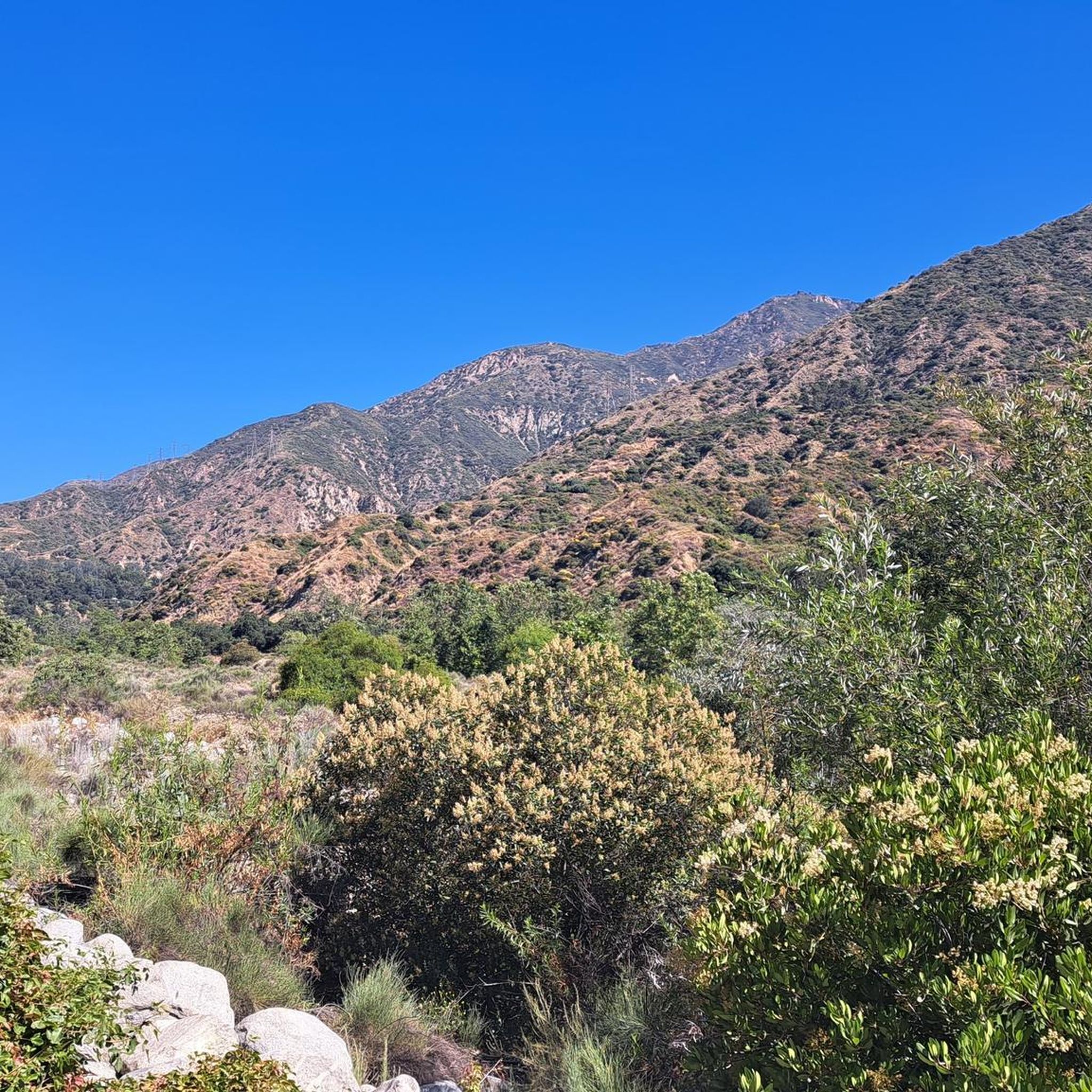
Road cycling around San Gabriel offers a diverse landscape for riders, characterized by the challenging climbs of the San Gabriel Mountains and scenic river trails. The region features varied terrain, from flat multi-use paths along waterways to significant mountain ascents through canyons. These physical features provide a range of elevations and environments for road cyclists.
Best road cycling routes around San Gabriel
- The most popular road cycling route is The Cub House – Brookside Park loop from San Gabriel, an 18.2 miles (29.3 km) easy trail that takes 1 hour 23 minutes to complete, offering a pleasant loop.
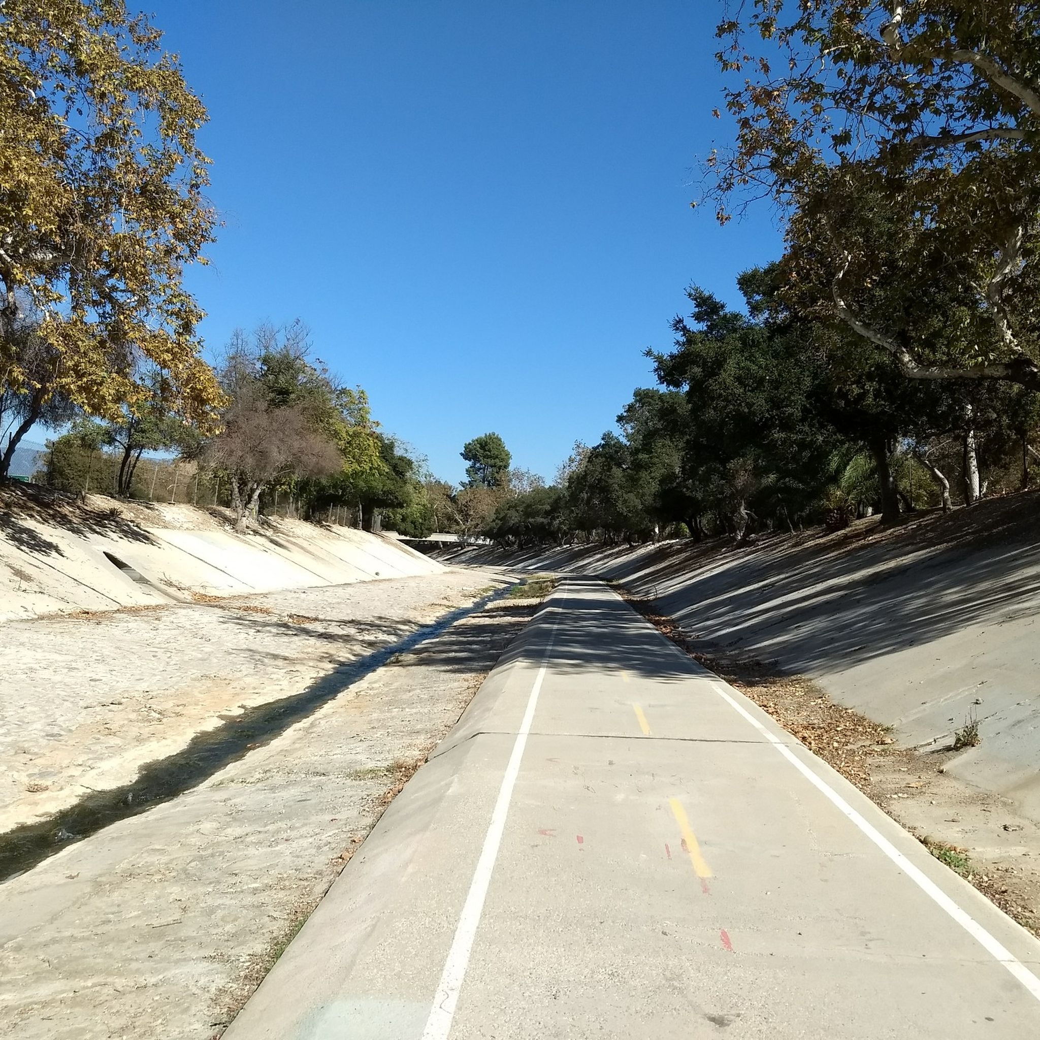
- Another top favourite among local road cyclists is San Gabriel River Greenway – Santa Fe Flood Control Basin loop from South Pasadena, a moderate 36.5 miles (58.7 km) path that follows the San Gabriel River.
- Local road cyclists also love the View of Eagle Rock – Brookside Park loop from Fillmore, a 40.5 miles (65.1 km) trail leading through canyons and offering scenic viewpoints, often completed in about 3 hours 13 minutes.
- Road cycling around San Gabriel is defined by the San Gabriel Mountains, scenic river trails, and diverse canyon routes. The network offers options for different ability levels, from gentle river paths to challenging mountain climbs.
- The routes in San Gabriel are highly rated by the komoot community with an average score of 4.6 stars from over 100 reviews. More than 3,200 road cyclists have used komoot to explore San Gabriel's varied terrain.
Last updated: May 14, 2026
73
riders
65.1km
03:13
870m
870m
Moderate road ride. Good fitness required. Mostly well-paved surfaces and easy to ride.
4.9
(8)
75
riders
16.3km
00:50
120m
120m
Easy road ride. Great for any fitness level. Mostly well-paved surfaces and easy to ride.

Sign up for free
4.0
(5)
44
riders
Moderate road ride. Good fitness required. Mostly well-paved surfaces and easy to ride.
71
riders
Moderate road ride. Good fitness required. Mostly well-paved surfaces and easy to ride.
5.0
(1)
24
riders
54.9km
02:46
660m
660m
Moderate road ride. Good fitness required. Mostly well-paved surfaces and easy to ride.
Get access to more routes and recommendations from other explorers.
Sign up for free
Already have an account?
Our route recommendations are based on thousands of hikes, rides, and runs completed by other people on komoot.
Start today with a free account
Your next adventure awaits.
Login or Signup


Tips from the Community


The road south creates a nice, fast, gradual descent from the north side of Altadena. Just be safe and keep an eye out for cross-traffic at the intersections.
0
0
There are lots of vintage shops and cafes in the historic downtown. Library Park is a great place to rest in the shade with a bite to eat before continuing your ride.
0
0

Old Town Monrovia is a 10‑block historic district centered on Myrtle Avenue, that has brick‑lined sidewalks, vintage lampposts, and boutique shops.
0
0
Monrovia Recreation Park is 22 acres and has playgrounds, picnic shelters, and restrooms. It is a good spot for a break in the shade and some water.
0
0

Nice bike path. not much roads to cross. some are hilly but doable for newbies. It's our first time and we had a good time. just some areas are with a lot of homeless people, esp. the tunnels.
0
0

Climb out of the Brookside Golf Club area and into the Pasadena suburban area. This climb has a nice shoulder and is lined with trees.
0
0
Brookside Park is Pasadena's largest fully maintained park at 61.1 acres. It sits south of Rose Bowl Stadium with tons of parking off Arroyo Boulevard. The park features a lighted baseball diamond, two softball diamonds, and a large, lighted, multi-purpose field for soccer and flag football. There is also a speaker's platform with permanent seating, numerous picnic tables, barbecue pits, a play area, restrooms, and drinking fountains.
0
0
Frequently Asked Questions
How many road cycling routes are available in San Gabriel?
There are over 120 road cycling routes around San Gabriel, offering a wide range of options for different skill levels and preferences. The komoot community has explored more than 3,800 of these routes.
What do other road cyclists enjoy most about the routes in San Gabriel?
The road cycling routes in San Gabriel are highly rated by the komoot community, with an average score of 4.6 stars from 133 reviews. Riders often praise the diverse terrain, from challenging mountain climbs to serene river trails, and the scenic beauty of the San Gabriel Mountains and surrounding natural areas.
Are there challenging road cycling routes in the San Gabriel area?
Yes, the San Gabriel Mountains offer numerous challenging climbs. Iconic routes like Mount Baldy are known for significant elevation gains, reaching 4,748 feet over 13.1 miles with steep sections. Other demanding options include portions of Highway 39 to Dawson Saddle and Angeles Crest Highway (Highway 2) through the Angeles National Forest. For a difficult loop, consider the Brookside Park loop from South Pasadena.
Are there easy or family-friendly road cycling routes in San Gabriel?
Absolutely. The region offers several accessible options. The San Gabriel River Trail is a multi-use, mostly flat path stretching over 80 miles, perfect for a serene ride. The West Fork National Scenic Bikeway, gated to most automobile traffic, provides a relatively flat and paved route in the National Forest backcountry. For an easy loop, try The Cub House – Brookside Park loop from San Gabriel.
What scenic viewpoints or landmarks can I see while road cycling in San Gabriel?
The San Gabriel area is rich in scenic beauty. You can encounter breathtaking panoramic views from places like Mount Wilson Observatory and Mount Baldy. Along routes, you might pass by Crystal Lake on Highway 39, or the Historic Colorado Street Bridge. Other notable spots include Echo Mountain and Inspiration Point, offering sweeping vistas of the landscape.
Are there any routes that pass by waterfalls?
Yes, you can find routes that lead to natural attractions like waterfalls. The Eaton Canyon Waterfall is a popular natural feature in the area, and some cycling routes may offer access or views nearby.
What natural areas or parks can I explore by road bike in San Gabriel?
The region is surrounded by extensive natural areas. The Angeles National Forest provides a stunning backdrop for many routes. You can also explore the Santa Fe Dam Recreation Area, which features a lake and trails, or the Whittier Narrows Recreation Area, one of Los Angeles County's largest regional parks with a comprehensive trail network. The San Gabriel River Park also offers trails and natural areas.
What is the best time of year for road cycling in San Gabriel?
The San Gabriel Valley benefits from year-round cycling weather, making it a popular choice throughout the year. However, spring and fall generally offer the most pleasant temperatures for longer rides, avoiding the peak heat of summer and potential cooler, wetter conditions in winter, especially at higher elevations in the mountains.
Where can I find parking for road cycling routes in San Gabriel?
Many popular starting points for road cycling routes offer parking. Encanto Park in Duarte is a common starting point for those heading to the San Gabriel Canyon roads or the San Gabriel River Trail. Other recreational areas like Santa Fe Dam Recreation Area and Whittier Narrows Recreation Area also provide parking facilities for trail access.
Are there any loop routes for road cycling in San Gabriel?
Yes, many road cycling routes in San Gabriel are designed as loops, offering convenient starting and ending points. Examples include Brookside Park – Brookside Park loop from South Pasadena and View of Eagle Rock – La Tuna Canyon Road loop from Fillmore, which takes you through scenic canyons.
Can I access the San Gabriel River Trail by road bike?
Yes, the San Gabriel River Trail is a multi-use, mostly flat Class I bike path that is ideal for road cycling. It stretches for over 80 miles, connecting the San Gabriel Valley to Long Beach and Seal Beach, offering a serene ride along the river. Encanto Park in Duarte is a popular access point.
Are there any specific permits required for road cycling in the San Gabriel Mountains?
For general road cycling on paved roads within the San Gabriel Mountains, specific cycling permits are typically not required. However, if you plan to park your vehicle in certain areas of the Angeles National Forest, an Adventure Pass may be necessary. It's always advisable to check with the Angeles National Forest service for the most current regulations regarding parking and access.
Most popular attractions around San Gabriel

Get inspired with the komoot mobile app


Explore more
Browse the best Road cycling routes in other regions.
