The best road cycling routes around Malibu
4.7
(56)
4,897
riders
25
rides
Road cycling around Malibu offers diverse and challenging terrain, characterized by the Santa Monica Mountains, coastal roads, and numerous canyons. The region features significant elevation changes, rugged hills, and dramatic river canyons, providing a varied landscape for cyclists. Ocean views are common along many routes, with rolling climbs and descents through the extensive network of canyon roads. This topography makes Malibu a notable destination for road cycling.
Best road cycling routes around Malibu
- The most popular road cycling route is…
Last updated: October 30, 2026
68
riders
101km
06:05
2,510m
2,510m
Hard road ride. Very good fitness required. Mostly well-paved surfaces and easy to ride.
60
riders
52.4km
03:00
920m
920m
Hard road ride. Very good fitness required. Mostly well-paved surfaces and easy to ride.

90
riders
60.8km
02:43
390m
390m
Moderate road ride. Good fitness required. Mostly well-paved surfaces and easy to ride.
25
riders
Moderate road ride. Good fitness required. Mostly well-paved surfaces and easy to ride.
36
riders
36.1km
02:08
880m
880m
Moderate road ride. Good fitness required. Mostly well-paved surfaces and easy to ride.
Get access to more routes and recommendations from other explorers.
Already have an account?
Our route recommendations are based on thousands of hikes, rides, and runs completed by other people on komoot.
Start today with a free account
Your next adventure awaits.

Tips from the Community

While bike paths through Malibu are 'here now" and suddenly gone and you're in traffic, there are few places as pleasant to visit by bicycle as Malibu. Be sure to bike up Malibu Road, but if you're adventurous and in good shape, take the bottom of Mulholland rd (from far north of Malibu) up to the valley side of the canyon. You can then reward yourself with a long downhill ride on curvy Decker. (You'll be on your breaks for miles). This is a great town to lunch, coffee or just watch the waves.
0
0

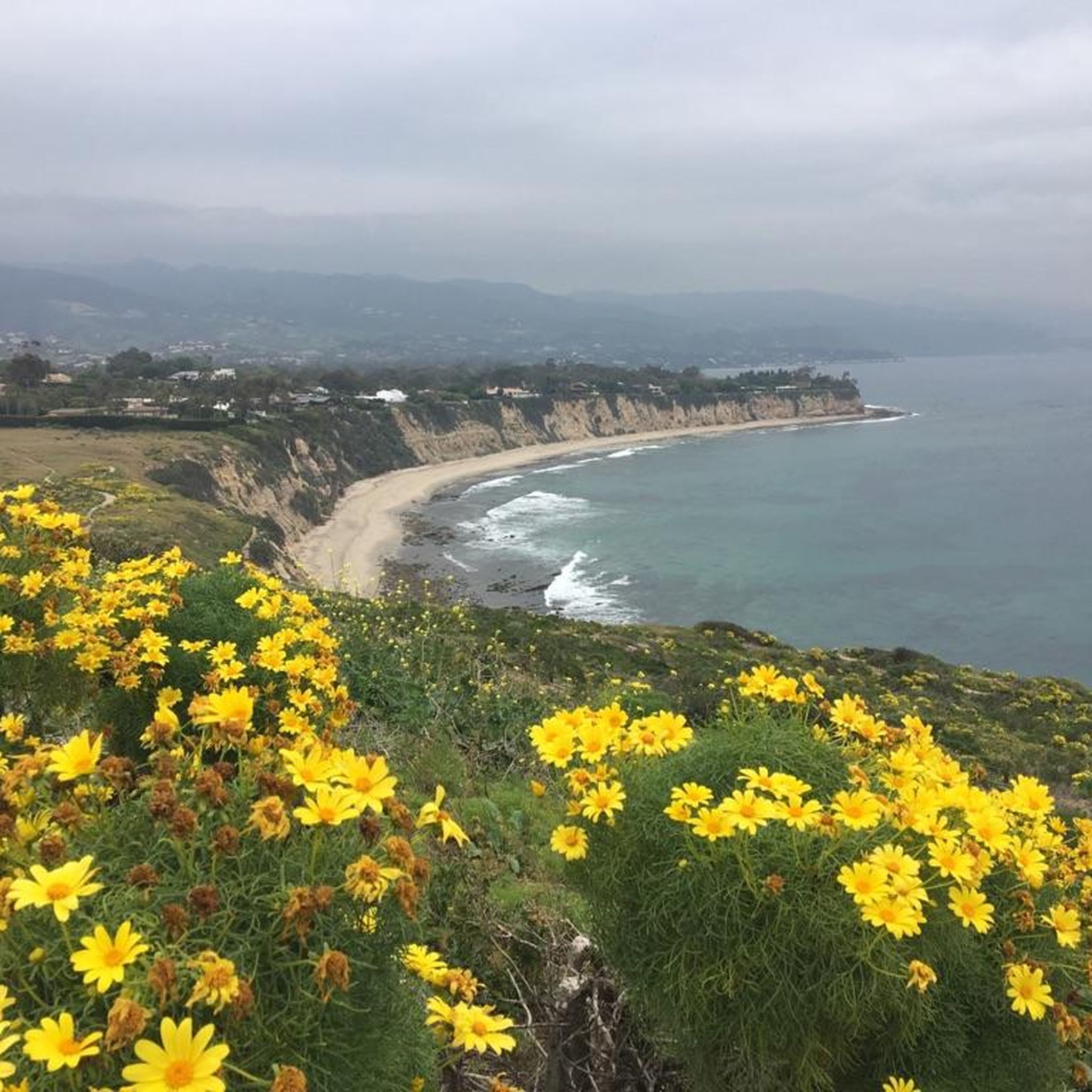
Escondido Beach in California entices cyclists with its secluded cove and pristine shoreline. Tucked away from the bustle, it offers a serene spot for riders to unwind, bask in the sun, and take a refreshing dip in the Pacific Ocean. The stunning coastal scenery provides a picturesque backdrop for a peaceful break.
0
0
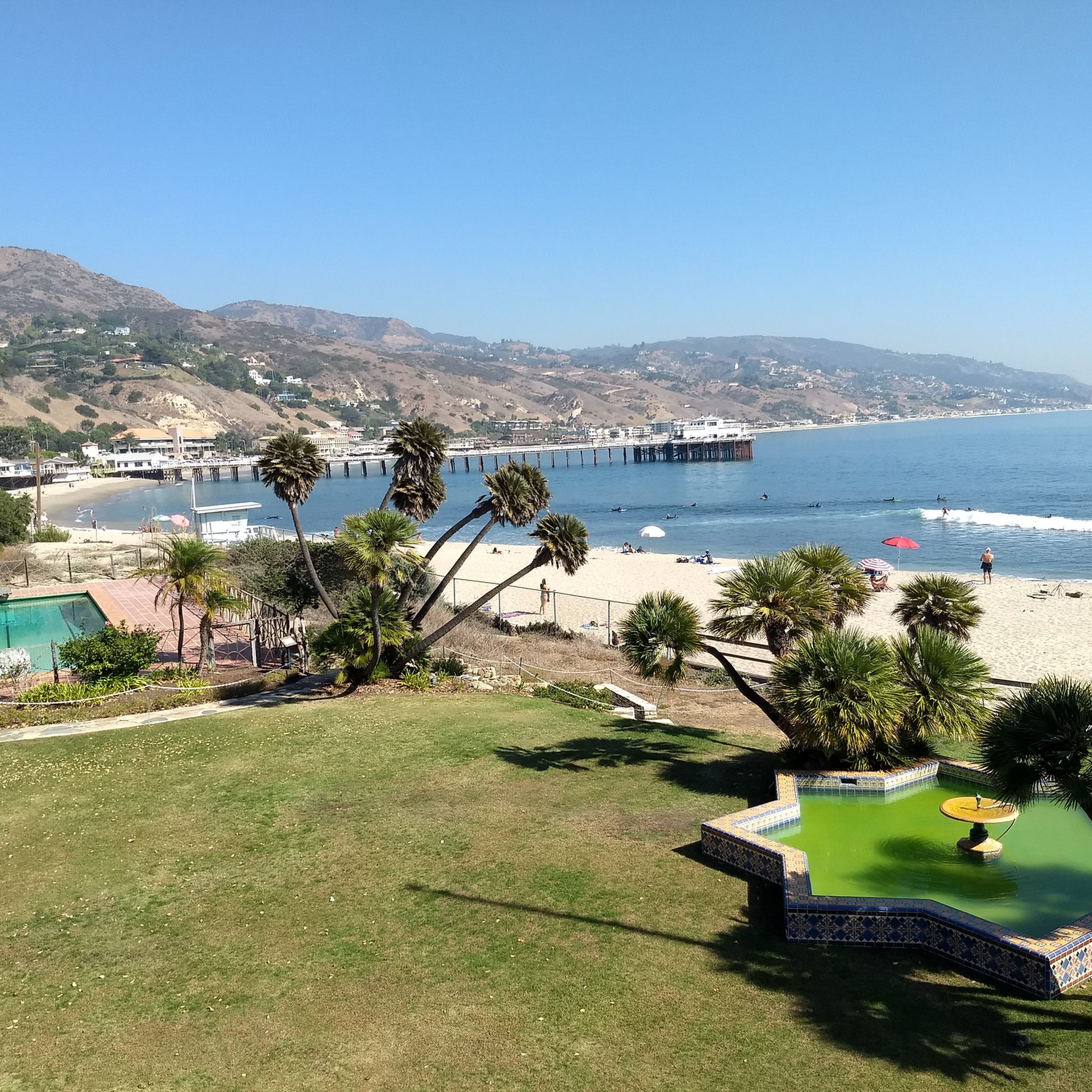
As you traverse these extensive stretches of beachfront obstructed by private estates, you may find solace in the modest confines of this narrow rocky shore in Malibu. Dubbed Big Rock Beach, it earns its name from the sizable rock formation just offshore, a haven for seabirds and basking seals. Thanks to California's public beach laws, the entirety of Big Rock Beach remains accessible to all, as the mean high tide delineates its boundary. During lower tides, the sandy expanse expands, revealing a wider beachfront flanked by waterfront residences.
0
0

Leo Carrillo State Park is a 2,513-acre park on the Malibu coast and is part of the Santa Monica Mountains National Recreation Area. It offers swimming, surfing, fishing, as well as an inland campground and backcountry hiking trails.
0
0
Point Mugu State Park is located in the Santa Monica Mountains and offers five miles of ocean shoreline, rugged hills, grassy valleys, and two major river canyons. The park also includes the jagged pinnacles of the Boney Mountains State Wilderness Area.
0
0

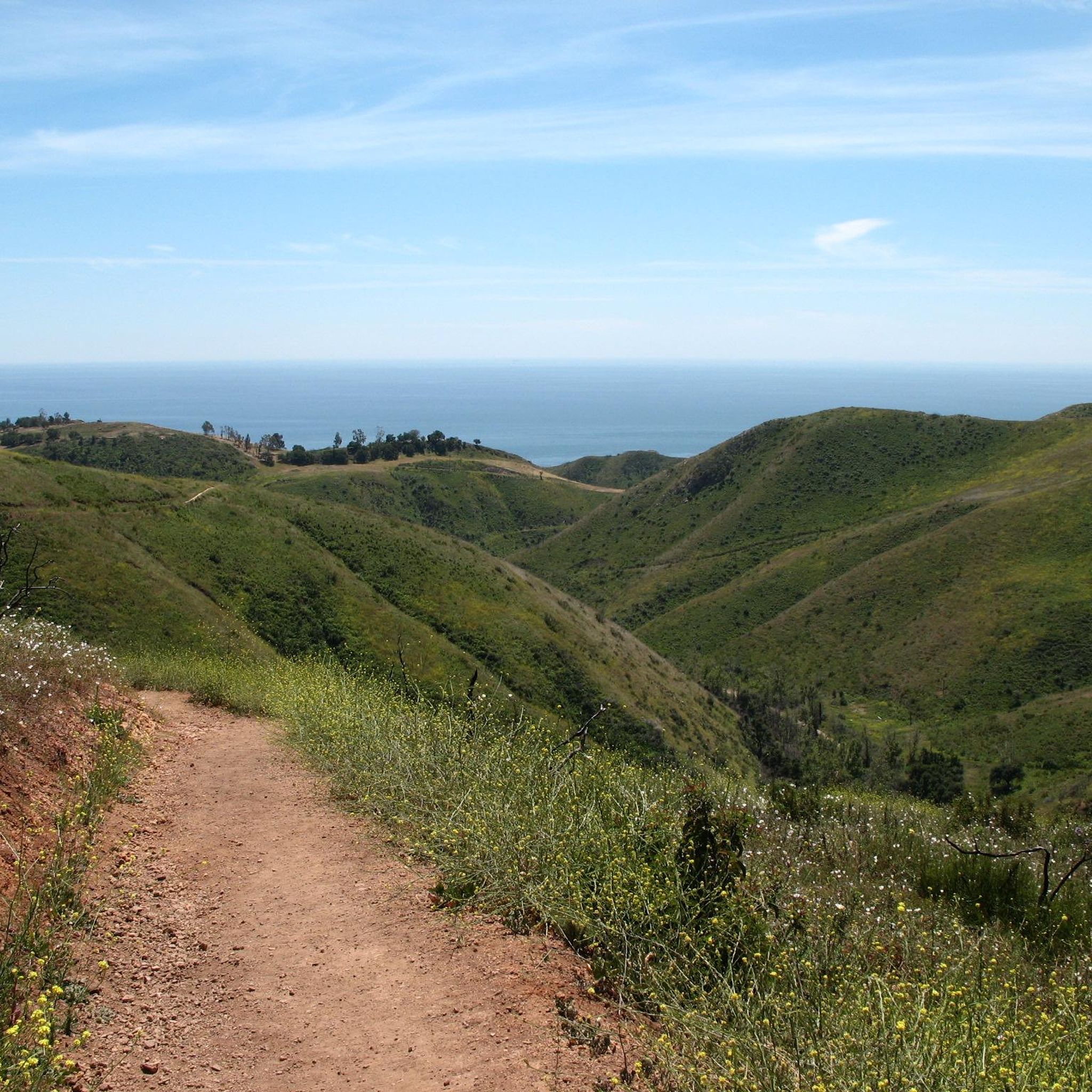
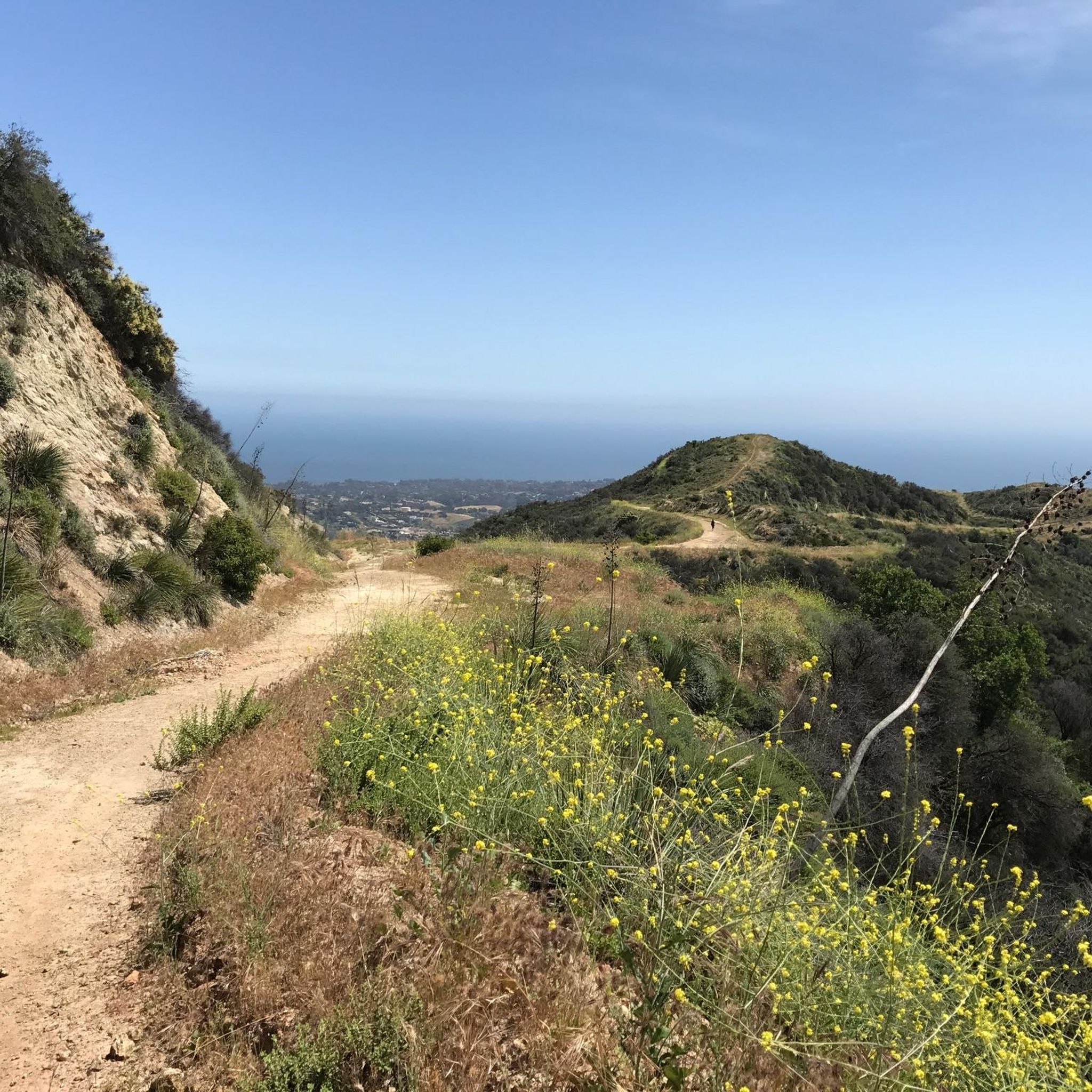
It is our tradition to visit a high mountain on the first day of the new year. The sattle peak view point is 720 m above sea level and provides an outstanding view to the pacific ocean and to the valley. It is great for a short holiday walk.
0
0

At first sight this area is rural and natural, with 'dream homes' scattered loosely in the distance.
0
0
State park with great picnic facilities, and a visitor center providing information for all the parks in the Santa Monica mountains. Good free public internet and power plugs to recharge your phone on long rides even when the center is closed.
0
0
Frequently Asked Questions
How many road cycling routes are available in Malibu, and what are their difficulty levels?
Malibu offers a diverse selection of over 20 road cycling routes. These routes cater to various skill levels, with 3 easy, 13 moderate, and 7 difficult options, ensuring there's a ride for every cyclist.
What kind of terrain and elevation changes can I expect when road cycling in Malibu?
Malibu's road cycling terrain is characterized by significant elevation changes, particularly within the Santa Monica Mountains. You'll encounter rugged hills, dramatic river canyons, and numerous canyon roads with consistent ascents and descents. Routes like the Santa Monica Mountains Double Loop feature over 2,500 meters of elevation gain, while others like the Encinal Canyon Loop offer consistent gradients through gentle sloping curves.
Are there any family-friendly road cycling options in Malibu?
While many Malibu routes involve significant climbs, there are options suitable for families or those seeking less strenuous rides. Look for routes with lower elevation gains or consider cycling along flatter sections of the Pacific Coast Highway or Malibu Road for a more relaxed experience. The region has 3 easy routes available, which may include more family-friendly sections.
What are the best times of year to go road cycling in Malibu?
Malibu generally offers favorable weather for road cycling year-round. However, the best times are typically spring and fall when temperatures are mild and skies are clear. Summers can be warm, especially in the canyons, while winters are usually mild but can bring occasional rain. Always check local weather forecasts before heading out.
Where can I find scenic viewpoints or natural features along the road cycling routes?
Malibu's routes are renowned for their stunning vistas. Many canyon roads, such as Latigo Canyon Road and Mulholland Highway, offer breathtaking ocean views and rugged mountain-scapes. You can also find specific viewpoints like Point Dume Overlook, Inspiration Point, and Upper Sycamore Overlook. The Leo Carrillo State Park Beach – Point Mugu Rock loop also takes you through coastal areas and near state parks.
Are there any notable challenging climbs for advanced road cyclists in Malibu?
Absolutely. Malibu is famous for its challenging climbs, particularly within the Santa Monica Mountains. Latigo Canyon Road is known as one of the longest climbs, featuring tight switchbacks and steep grades. Other challenging routes include Mulholland Highway and Decker Canyon Road, which are often part of demanding loops. The Santa Monica Mountains Double Loop is a difficult route with extensive climbs and descents.
Are there any loop routes available for road cycling in Malibu?
Yes, Malibu offers several excellent loop routes that allow you to start and end at the same point. Popular examples include the Encinal Canyon Loop and the Leo Carrillo State Park Beach – Point Mugu Rock loop from Ramirez Canyon Park. These loops provide varied scenery and challenges without requiring an out-and-back return.
What do other road cyclists enjoy most about road cycling in Malibu?
The komoot community highly rates road cycling in Malibu, with an average score of 4.0 stars. Reviewers often praise the diverse and challenging terrain, the breathtaking coastal and canyon landscapes, and the extensive network of climbs through the Santa Monica Mountains. The combination of ocean views and demanding ascents is a particular highlight.
Are there any state parks accessible or visible from the road cycling routes?
Yes, several state parks are integral to the Malibu cycling experience. Routes often pass by or through areas near Leo Carrillo State Park, Point Mugu State Park, and Malibu Creek State Park. These parks offer additional outdoor activities and stunning natural beauty. For more information on California State Parks, you can visit ca.gov.
Can I find food or coffee stops along the road cycling routes in Malibu?
While many canyon roads are remote, the Pacific Coast Highway and areas closer to Malibu's main commercial centers offer various cafes and restaurants. It's advisable to plan your route to include stops in towns or at popular beachside locations, or to carry sufficient provisions, especially on longer canyon rides.
Where can I park my car to access road cycling routes in Malibu?
Parking is available at various points along the coast and near trailheads. Zuma Beach is a common starting point with ample parking. You can also find parking near state parks like Leo Carrillo State Park or at designated pull-offs along major canyon roads. Always check for any parking restrictions or fees.
Are there any specific natural attractions like waterfalls or rock formations to look out for?
Yes, Malibu's natural landscape includes several interesting features. You might encounter the Malibu Creek Rock Pools or the dramatic Temescal Canyon Falls. The rugged hills and jagged pinnacles of the Boney Mountains State Wilderness Area within Point Mugu State Park also offer impressive rock formations visible from some routes.
Most popular routes around Malibu
Most popular attractions around Malibu

Get inspired with the komoot mobile app


Explore more
Browse the best Road cycling routes in other regions.
