The best running trails around Burbank
4.2
(59)
4,133
runners
188
runs
Jogging around Burbank offers diverse terrain, from urban pathways to rugged mountain trails. The city is characterized by its expansive parks, such as Griffith Park, and the Verdugo Mountains, which provide significant elevation gains. Runners can find smooth, paved routes like the Chandler Bikeway, alongside more challenging dirt paths in the hills surrounding the city. This variety ensures options for all fitness levels, with scenic views of the San Fernando Valley and the Los Angeles basin.
Best jogging routes around Burbank
- The most popular jogging route is Burbank Peak, Cahuenga Peak and Mount Lee Loop, a 5.4 miles (8.6 km) trail that takes 1 hour 12 minutes to complete. This difficult route offers panoramic views and leads towards iconic landmarks.
- Another top favourite among local runners is Railway yard with steam trains – Griffith Park Drive loop from Roy E. Disney - Feature Animation Building, a moderate 7.1 miles (11.4 km) path. This route explores varied terrain within Griffith Park.
- Local runners also love the The Wildwood Canyon Trail loop from Starlight Bowl, a 6.5 miles (10.4 km) trail leading through Wildwood Canyon Park, often completed in about 1 hour 36 minutes.
- Jogging around Burbank is defined by urban pathways, the hills of the Verdugo Mountains, and the expansive wilderness of Griffith Park. The network offers options for different ability levels, from easy urban runs to challenging mountain ascents.
- The routes in Burbank are highly rated by the komoot community with an average score of 4.3 stars from over 47 reviews. More than 4000 runners have used komoot to explore Burbank's varied terrain.
Last updated: September 30, 2026
1.0
(1)
6
runners
8.63km
01:13
400m
400m
Hard run. Very good fitness required. Mostly paved surfaces. Suitable for all skill levels.
4.55km
00:38
170m
170m
Moderate run. Good fitness required. Mostly paved surfaces. Suitable for all skill levels.

5.0
(4)
106
runners
Moderate run. Good fitness required. Mostly paved surfaces. Suitable for all skill levels.
26
runners
4.34km
00:27
10m
10m
Easy run. Great for any fitness level. Mostly paved surfaces. Suitable for all skill levels.
59
runners
Moderate run. Good fitness required. Mostly paved surfaces. Suitable for all skill levels.
Get access to more routes and recommendations from other explorers.
Already have an account?
Our route recommendations are based on thousands of hikes, rides, and runs completed by other people on komoot.
Start today with a free account
Your next adventure awaits.

Tips from the Community

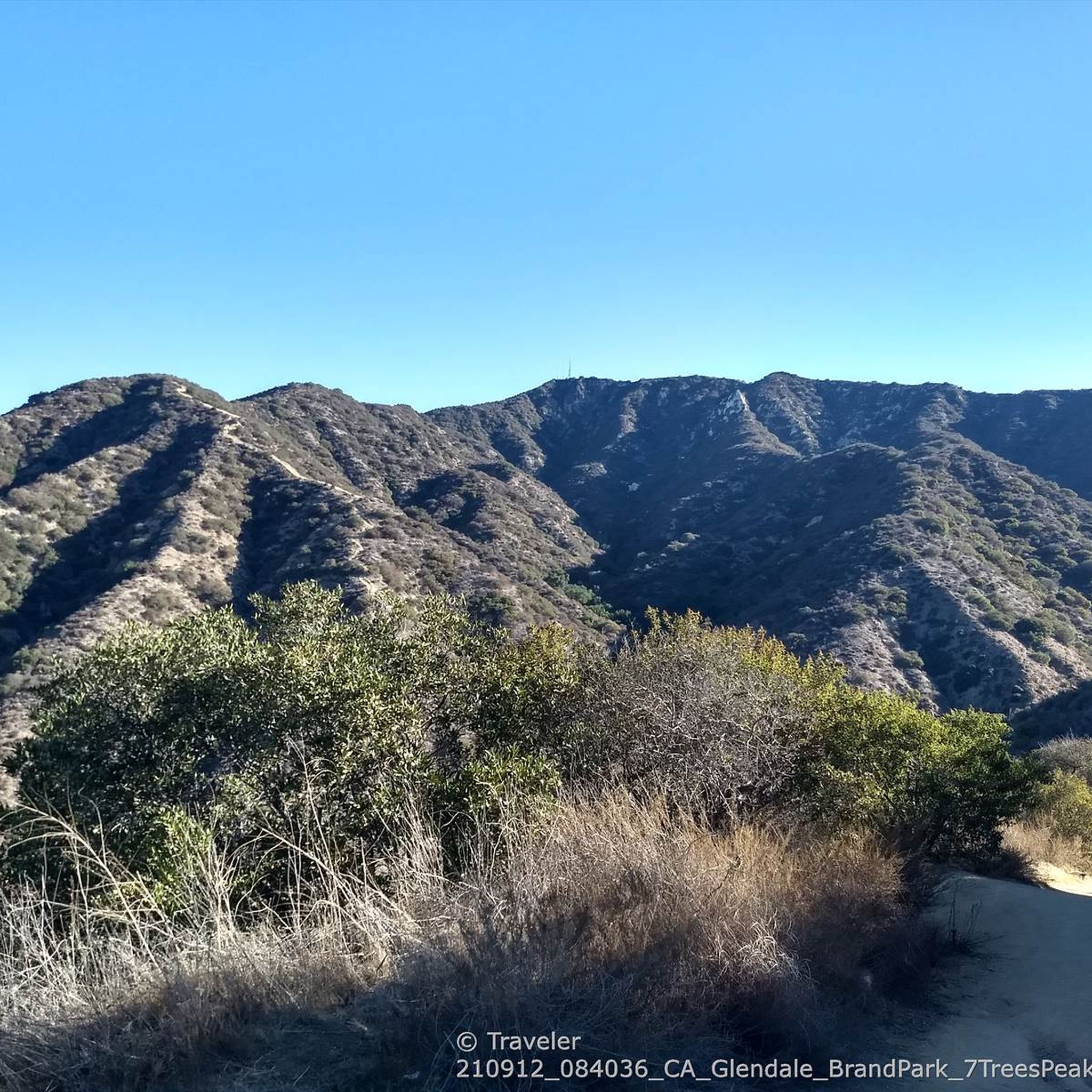
The area is gorgeous - especially during sunrise or sunset. You will find some microclimates in shaded areas especially towards the bottom of the trail and pockets of warm air as you rise. If going at dusk bring a headlamp and water.
0
0

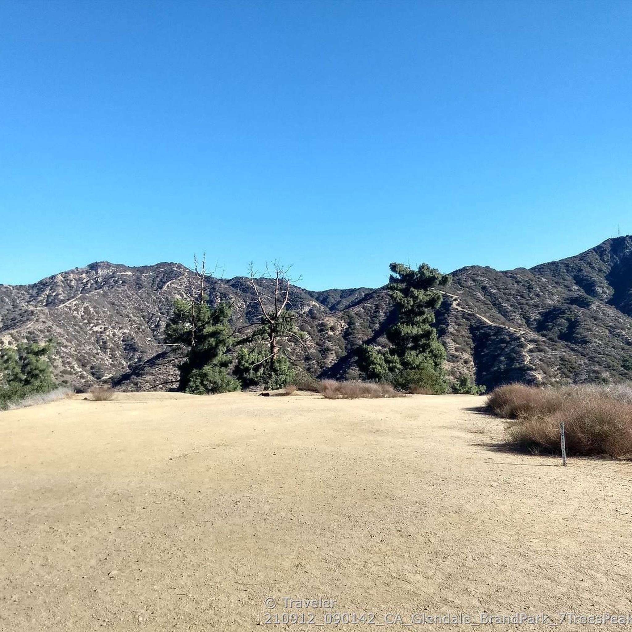
Awesome spot. No shade though so stay hydrated and protected from the sun. Winds could be nice.
0
0
Awesome spot. There's no shade and a lot of sun exposure coming to this spot from Cahuenga Peak. Stay hydrated and wear sun protection.
0
0

This is a bronze statue that pays tribute to Amelia Earhart, who was a resident of North Hollywood. This statue highlights her groundbreaking achievements as an aviator and her role as an inspiration for women. It was recently restored after being damaged in a car accident, showing the community's dedication to preserving her memory.
0
0

Griffith Park Drive is a great climb up into the hills behind Glendale. The road is smooth paved and well-graded, so you should be able to swiftly get to the top.
0
0

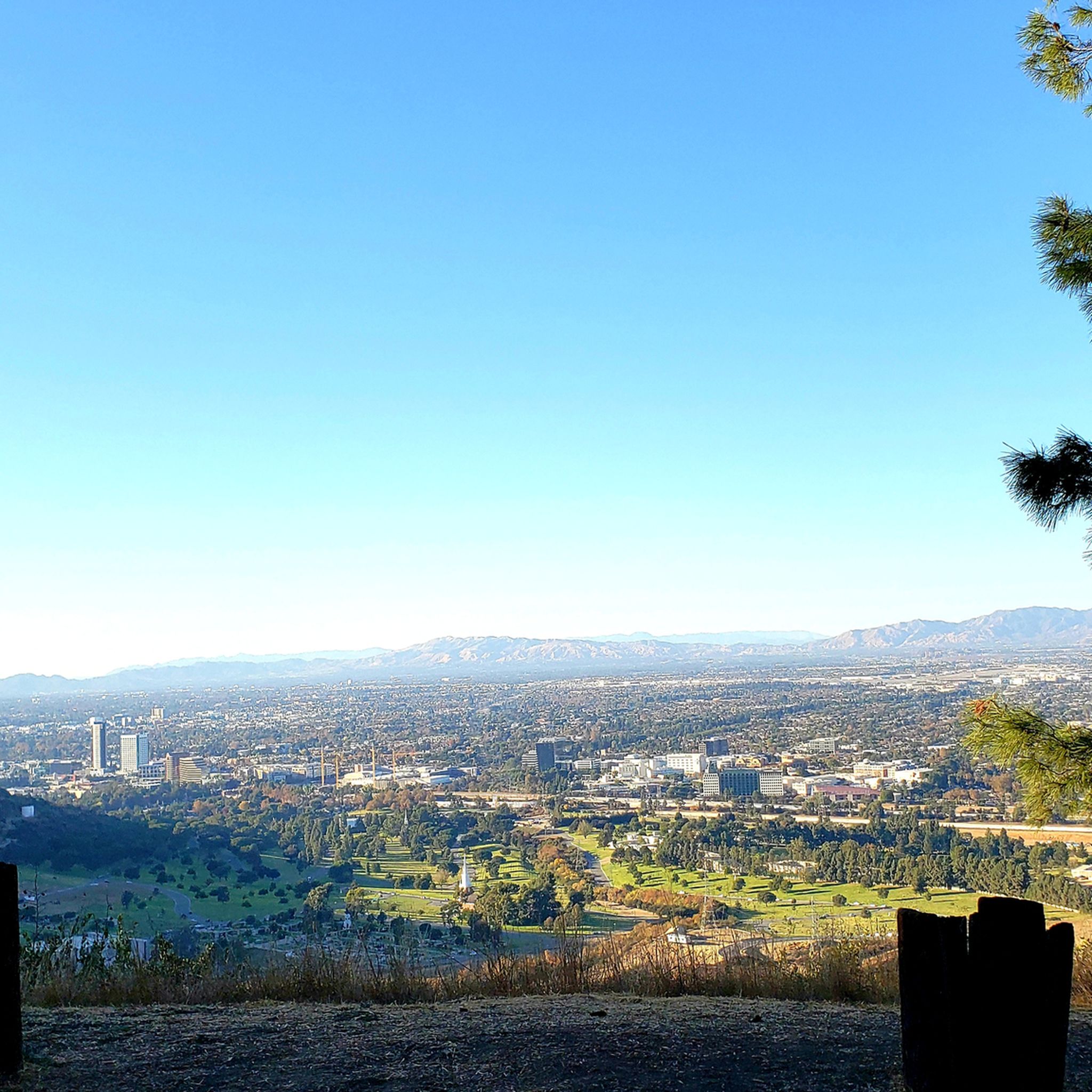
This is a one hour round trip with an altitude raise of 220 m. The path is steep with very little flat parts, very rocky and with lots of gravel. You will be awarded with an outstanding view from LA Downtown to the valley. Parking is available at Hollywood Lake Dr. The park is open from Sunrise to Sunset.
0
0

Located in the northwest corner of Griffith Park is the Travel Town Museum and railway park covering the history of railroad transportation in the western United States. The railroad museum sections contains 43 full-scale railroad engines, cars and other rolling stock. There is also a quaint miniature train available that travels over one mile of track. It traverses a cute bridge, goes through a forest and an old Western Town.
0
0
Frequently Asked Questions
How many jogging routes are available in Burbank?
Burbank offers a wide variety of running options, with over 160 routes available for jogging. These routes cater to all fitness levels, ranging from easy urban paths to challenging mountain trails.
Are there easy or beginner-friendly jogging routes in Burbank?
Yes, Burbank has several easy jogging routes. The Chandler Bikeway is a popular urban trail built on a former railroad line, offering a smooth, flat, and paved surface ideal for beginners. It stretches for three to four miles through the Magnolia Park neighborhood. Additionally, some sections of the Griffith Park Drive loop offer moderate terrain suitable for those looking for a less strenuous run.
Where can I find jogging routes with significant elevation gain for a challenging workout?
For challenging runs with significant elevation, the Verdugo Mountains are an excellent choice. Routes like the Wildwood Canyon Trail loop from Starlight Bowl and the Verdugo Peak loop from Starlight Bowl offer substantial climbs and rewarding views. The Stough Canyon Nature Center is a prime starting point for exploring these more rugged trails.
Which running paths offer the best views or pass by notable landmarks?
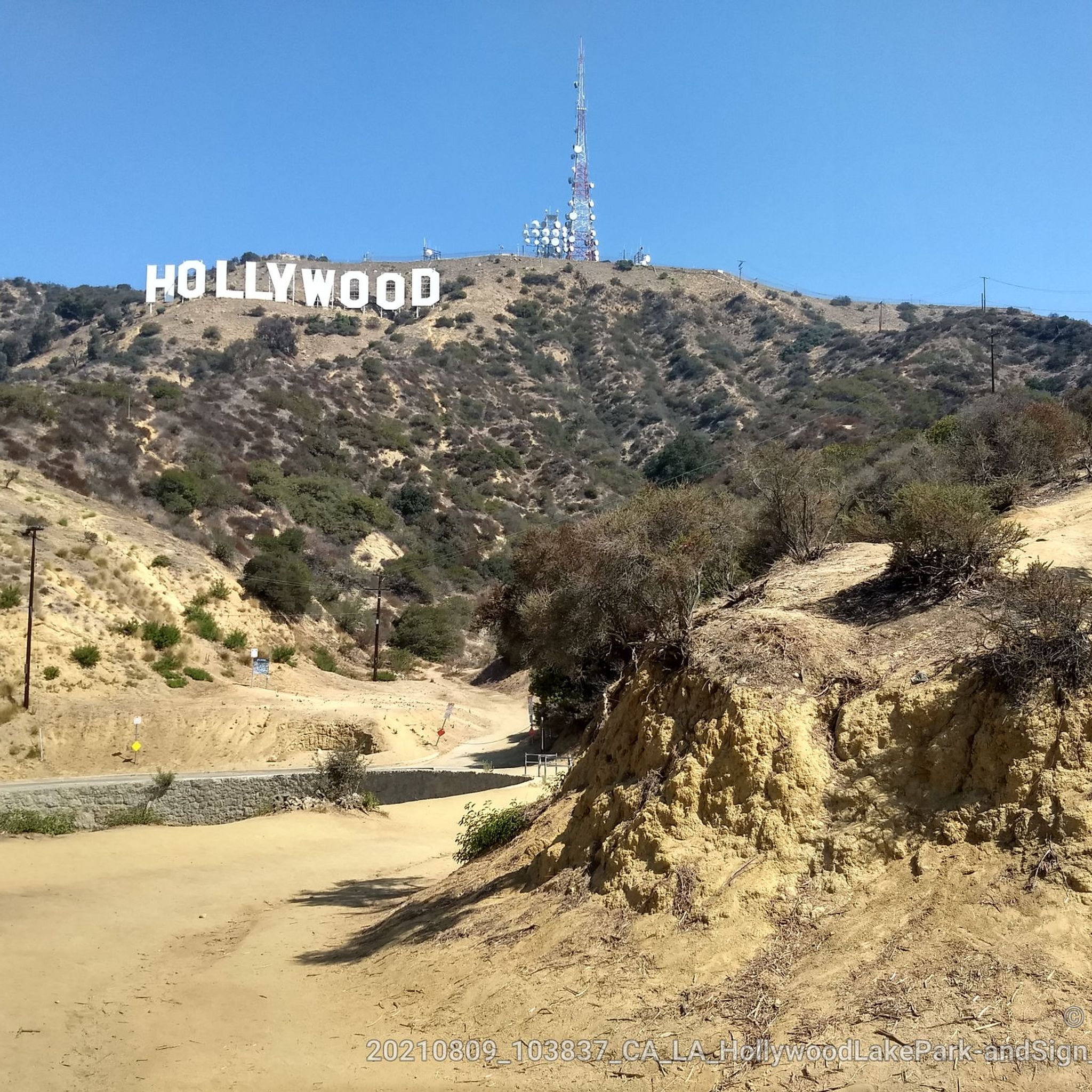
Many routes in Burbank provide spectacular views. The Burbank Peak, Cahuenga Peak and Mount Lee Loop offers panoramic views and leads towards iconic landmarks like the Hollywood Sign. From Verdugo Peak, you can enjoy unparalleled views of the Los Angeles basin, including downtown Los Angeles and the Hollywood Hills. You can also find viewpoints like the Canyon Lake Drive Overlook and the Back of the Hollywood Sign on Mount Lee along some trails.
Are there any dog-friendly jogging routes in Burbank?
While specific regulations can vary by park and trail, many outdoor areas in Burbank, including parts of Griffith Park and the Verdugo Mountains, are generally dog-friendly, provided dogs are kept on a leash. Always check local park rules before heading out with your pet. The Chandler Bikeway is also a popular spot for walks and runs with dogs.
What are some family-friendly jogging options in Burbank?
For family-friendly jogging, flat and paved routes are often best. The Chandler Bikeway is an excellent choice, offering a safe and pleasant experience with separate lanes for pedestrians and cyclists. Local parks like McCambridge Park and Johnny Carson Park also provide well-maintained paths suitable for families.
Are there many circular jogging routes in Burbank?
Yes, many of Burbank's jogging routes are designed as loops, allowing you to start and finish at the same point. Examples include the Burbank Peak, Cahuenga Peak and Mount Lee Loop and the Railway yard with steam trains – Griffith Park Drive loop. These circular routes are convenient for planning your run without needing to retrace your steps.
What is the best time of year to go jogging in Burbank?
Burbank's climate makes it suitable for jogging year-round, but spring and fall offer the most pleasant temperatures. Summers can be hot, especially in the afternoon, so early morning or late evening runs are recommended. Winter typically brings mild weather, though trails in the Verdugo Mountains may close due to hazardous weather conditions like heavy rain.
What do other runners enjoy most about jogging in Burbank?
The jogging routes in Burbank are highly rated by the komoot community, with an average score of 4.3 stars from over 47 reviews. Reviewers often praise the diverse terrain, from urban pathways to scenic mountain trails, and the rewarding panoramic views of the San Fernando Valley and Los Angeles basin.
Are there options for public transport or parking near Burbank's jogging routes?
Yes, many jogging routes in Burbank are accessible by public transport or offer parking. The Chandler Bikeway, for example, has a proposed extension to connect to the Downtown Burbank Metrolink Station. For routes in the Verdugo Mountains, the Stough Canyon Nature Center typically has parking available. Griffith Park also has various parking areas, though they can fill up quickly on weekends. The LA River Path is accessible near the zoo drive or close to the Caltrans station under the Olive Avenue bridge.
Can I find running tracks in Burbank?
While the guide focuses on trails, Burbank does offer facilities for track running. McCambridge Park is known for its recreational facilities, which may include running tracks. For specific track availability, it's best to check with the local Burbank Parks and Recreation department.
Are there any specific safety considerations for jogging in Burbank's mountain trails?
When jogging in the Verdugo Mountains or Griffith Park, it's important to be aware of the terrain, which can be steep and rugged. Trails are generally open from sunrise to sunset but may close due to hazardous weather conditions. Always carry enough water, wear appropriate footwear, and be mindful of wildlife. It's also advisable to inform someone of your route and expected return time.
Most popular attractions around Burbank

Get inspired with the komoot mobile app


Explore more
Browse the best Running Trails & Routes in other regions.
