The best road cycling routes around Diamond Bar
4.2
(12)
679
riders
66
rides
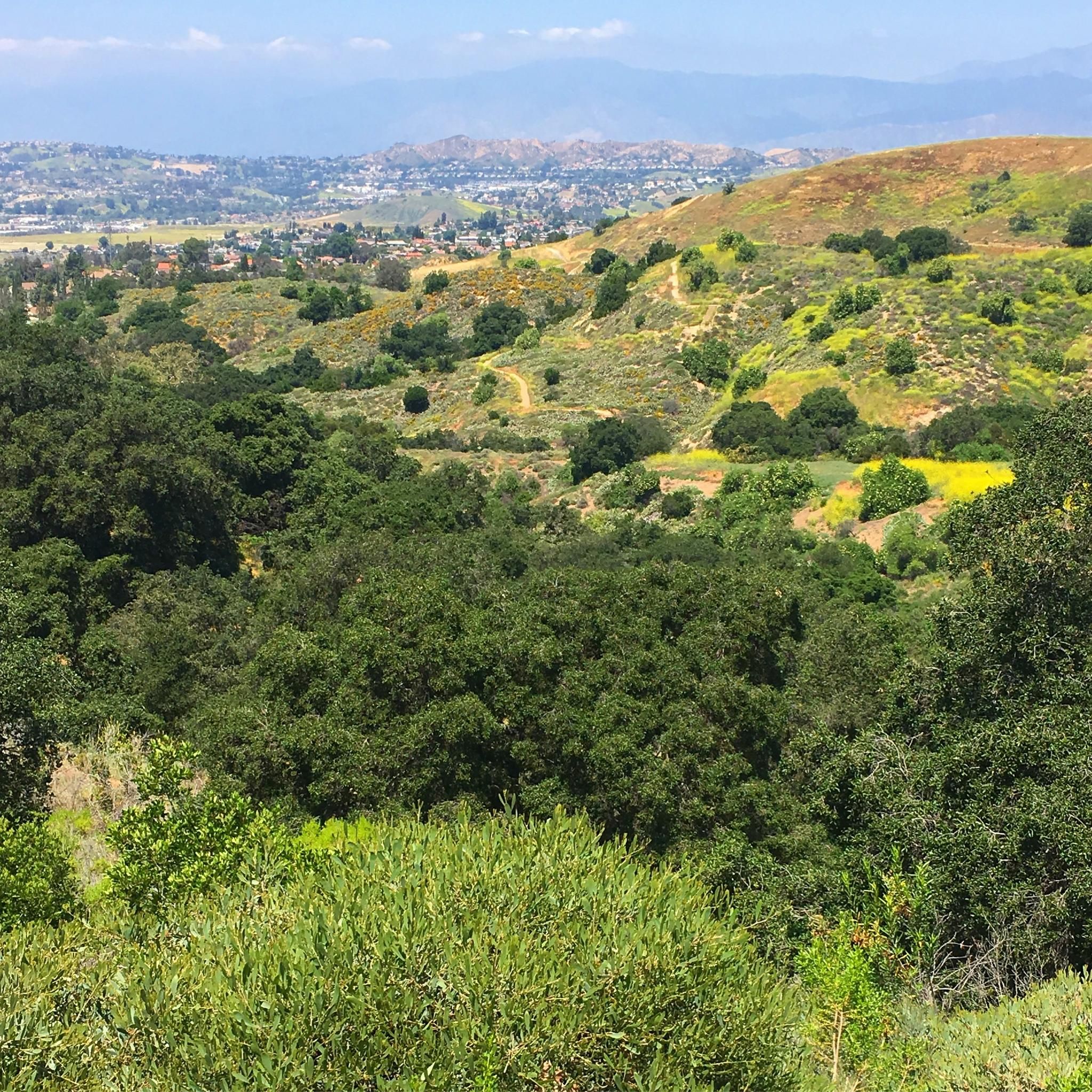
Road cycling routes around Diamond Bar traverse a landscape characterized by rolling hills and diverse terrain. The city's location provides varied elevation changes, offering both moderate and challenging climbs. Extensive trail networks connect various natural features, making it suitable for different levels of road cycling activity.
Best road cycling routes around Diamond Bar
- The most popular road cycling route is Carbon Canyon Regional Park loop from Diamond Bar, a 26.1 miles (42.0 km) moderate trail that takes 2 hours…
Last updated: October 3, 2026
5.0
(1)
50
riders
42.0km
02:01
540m
540m
Moderate road ride. Good fitness required. Some segments of this route may be unpaved and difficult to ride.
11
riders
70.7km
03:58
1,150m
1,150m
Hard road ride. Very good fitness required. Mostly well-paved surfaces and easy to ride.

8
riders
38.6km
01:48
500m
500m
Moderate road ride. Good fitness required. Mostly well-paved surfaces and easy to ride.
8
riders
35.3km
02:02
630m
630m
Moderate road ride. Good fitness required. Mostly well-paved surfaces and easy to ride.
2
riders
34.6km
01:45
450m
450m
Moderate road ride. Good fitness required. Some segments of this route may be unpaved and difficult to ride.
Get access to more routes and recommendations from other explorers.
Already have an account?
Our route recommendations are based on thousands of hikes, rides, and runs completed by other people on komoot.
Start today with a free account
Your next adventure awaits.

Tips from the Community

The Mt. San Antonio College Wildlife Sanctuary is a 10-acre protected haven that proudly preserves the natural beauty of the trees, shrubs, and flowers that once thrived in the area. With a mission to provide a safe migratory refuge and breeding ground for birds and other animals, it boasts a natural stream and a pond that are home and visitation spots for many bird species. The Sanctuary is also home to a 25-seat amphitheater on the southern tip, offering a perfect setting for Biology classes and lectures for visiting groups.
0
0

The best thing about Big Tree Park is... the big tree! Rightfully named, Big Tree Park boasts one of the largest Moreton Bay Figs south of Santa Barbara, planted in the late 1880s by Mr. Edgar J. Owens, a Glendora local. Today, the tree is almost 100 feet tall and has cables reinforcing it. There are no restrooms available at this park, and sometimes there are events like weddings here.
0
0

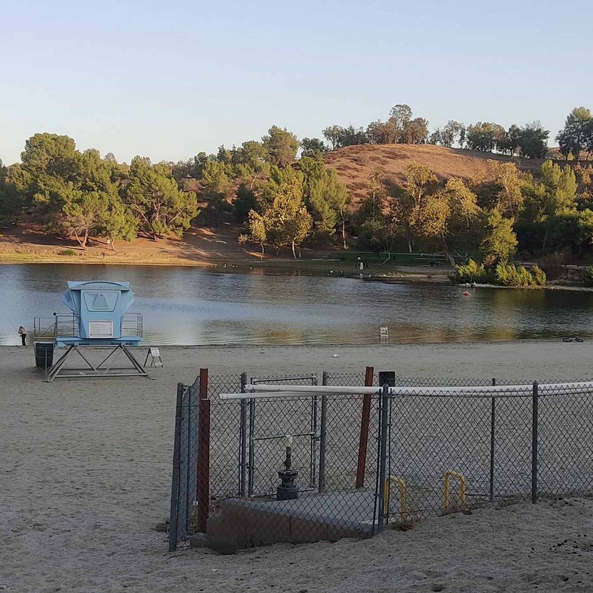
Carbon Canyon Regional Park is a great local park with a small lake and some nature trails featuring redwoods and the Carbon Canyon Creek. It connects to Chino Hills State Park.
0
0
Carbon Canyon Regional Park is a great local park with a small lake and some nature trails featuring redwoods and the Carbon Canyon Creek. It connects to Chino Hills State Park.
0
0

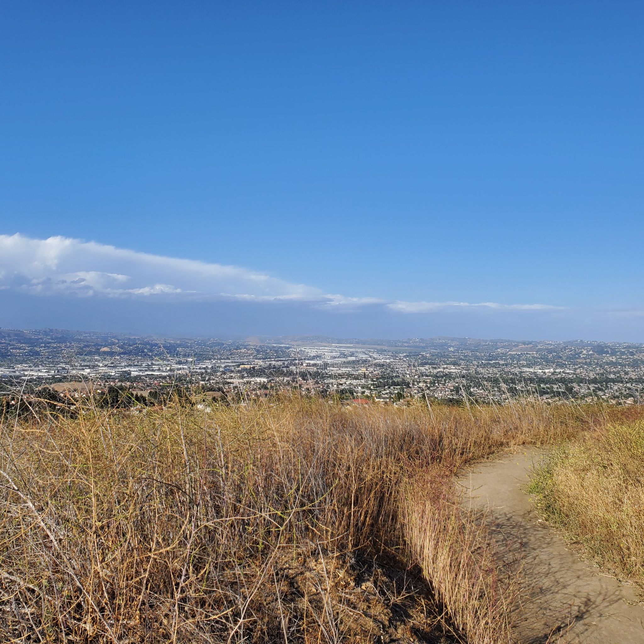
The sunsets in this park are wonderful. Here, you can enjoy an oasis of nature with excellent views of the San Gabriel Valley. However, it's quite exposed, so if it's hot, make sure to bring water.
0
0

Rubel Castle in Glendora, California, is a unique building that was built by Michael Clarke Rubel. Constructed with recycled materials, including stones from local quarries and discarded items, the castle showcases unique architecture.
0
0

Little Dalton Debris Basin is a small, man-made collecting pond in Big Dalton Canyon Wilderness Park. It is just off Big Dalton Canyon Road and Glendora Mountain road, which are both popular, challenging roads for biking.
0
0

Newman Point is an awesome overlook area with a large parking lot off the side of Glendora Mountain Road. The overlook peers down at Morris Reservoir and West Covina off in the distance.
0
0
Frequently Asked Questions
What kind of terrain can I expect when road cycling around Diamond Bar?
Road cycling around Diamond Bar is characterized by its rolling hills and diverse terrain. You'll encounter varied elevation changes, offering both moderate and challenging climbs, as well as rewarding descents. The region's natural landscape, including areas like Turnbull Canyon, contributes to significant elevation gains, making it suitable for cyclists looking for a good workout.
How many road cycling routes are available in the Diamond Bar area?
There are over 60 road cycling routes available around Diamond Bar on komoot, catering to various skill levels. This includes a mix of easy, moderate, and difficult trails, ensuring there's something for every road cyclist.
Are there any challenging road cycling routes for experienced riders?
Yes, Diamond Bar offers several challenging routes. For instance, the Turnbull Debris Basin – Turnbull Canyon loop from Diamond Bar is a difficult 39.0-mile ride with a substantial elevation gain of 3,270 feet (997 m), known for its demanding climbs and panoramic views of Los Angeles County.
What are some scenic viewpoints or natural features I can see while cycling?
The Diamond Bar area is rich with scenic spots. You can enjoy views of redwood groves on routes near Carbon Canyon Regional Park, or panoramic vistas of Los Angeles County from Turnbull Canyon. Other notable natural features include Sycamore Canyon Park with its riparian habitat, and Summitridge Park which offers breathtaking views from its 1,152-foot summit. You can also find highlights like Carbon Canyon Regional Park itself, which features a small lake and nature trails.
Are there any family-friendly road cycling options in Diamond Bar?
While many road cycling routes in Diamond Bar feature significant elevation changes, the city also boasts over 20 miles of paved trails ideal for more casual rides. These city trails can be a good option for families looking for a less strenuous cycling experience away from the main road cycling routes.
What do other road cyclists enjoy most about the routes in Diamond Bar?
The road cycling routes in Diamond Bar are highly rated by the komoot community, with an average score of 3.6 stars from 7 reviews. Cyclists often praise the varied terrain, the challenging climbs, and the scenic beauty of the regional parks and canyons. The network offers diverse experiences for different ability levels.
Are there any loop routes for road cycling in Diamond Bar?
Yes, many road cycling routes in Diamond Bar are designed as loops, allowing you to start and end at the same point. Popular examples include the Carbon Canyon Regional Park loop from Diamond Bar and the Roadbike loop from Diamond Bar High School, both offering comprehensive tours of the area's landscapes.
What is the best time of year to go road cycling in Diamond Bar?
Diamond Bar generally offers favorable conditions for road cycling for much of the year. The mild Southern California climate means that spring and fall often provide the most comfortable temperatures. Summers can be hot, especially during midday, while winters are typically mild but may bring occasional rain.
Where can I find parking for road cycling trails in Diamond Bar?
Many regional parks and trailheads in and around Diamond Bar offer parking facilities. For example, Carbon Canyon Regional Park, Sycamore Canyon Park, and Summitridge Park are known locations with access points that may include parking. It's advisable to check specific park websites for detailed parking information and any potential fees.
Are there any cafes or places to stop for refreshments near the cycling routes?
While specific cafes directly on every route may vary, Diamond Bar and its surrounding communities offer various establishments where cyclists can stop for refreshments. You'll find cafes and eateries in the city centers and commercial areas that are often accessible from the broader cycling network.
What is the longest road cycling route available in the area?
One of the longer routes you can explore is the Santa Ana River Trail – Santa Ana River Trail loop from Industry, which extends for 63.5 miles (102.2 km). This moderate route offers a different experience, venturing further out from Diamond Bar.
Can I find routes that offer views of lakes or reservoirs?
Yes, some routes and nearby areas provide views of water bodies. Carbon Canyon Regional Park, which is integrated into several cycling loops, features a small lake. Additionally, you might encounter viewpoints like the View of Puddingstone Reservoir, offering scenic vistas of the larger reservoir in the vicinity.
Most popular attractions around Diamond Bar

Get inspired with the komoot mobile app


Explore more
Browse the best Road cycling routes in other regions.
