The best MTB trails around Pomona
4.6
(10)
197
riders
21
rides
Mountain biking around Pomona, California, offers diverse terrain ranging from desert canyons to oak-covered hillsides and mountainous regions. The area features a network of trails with varied surfaces, including uneven ground, small hills, and sections with rocks and roots. Proximity to the San Gabriel Mountains and Chino Hills State Park provides opportunities for both challenging climbs and scenic descents. Riders can explore routes around natural features like Puddingstone Reservoir and through areas with extensive oak tree cover.
Best mountain bike…
Last updated: October 30, 2026
5.0
(2)
23
riders
Easy mountain bike ride.
13
riders
25.9km
02:34
640m
640m
Moderate mountain bike ride. Good fitness required.

5.0
(1)
13
riders
31.0km
03:16
840m
840m
Moderate mountain bike ride. Good fitness required.
5.0
(1)
11
riders
15.6km
01:23
300m
300m
Moderate mountain bike ride. Good fitness required.
7
riders
Easy mountain bike ride.
Get access to more routes and recommendations from other explorers.
Already have an account?
Our route recommendations are based on thousands of hikes, rides, and runs completed by other people on komoot.
Start today with a free account
Your next adventure awaits.


Tips from the Community

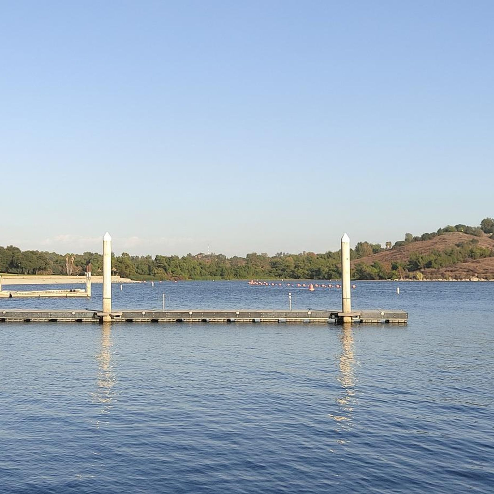
You can cycle across the top of the dam, which was constructed in 1928 to help control flooding in the region. It stands at 147 feet high, and today supports a myriad of outdoor recreation activities on the reservoir.
0
0

The Palmer Evey Trail is a straightforward trail in the San Bernadino Mountains. If you want to get up to Potato Peak, there is a short spur trail to take you to the peak.
0
0

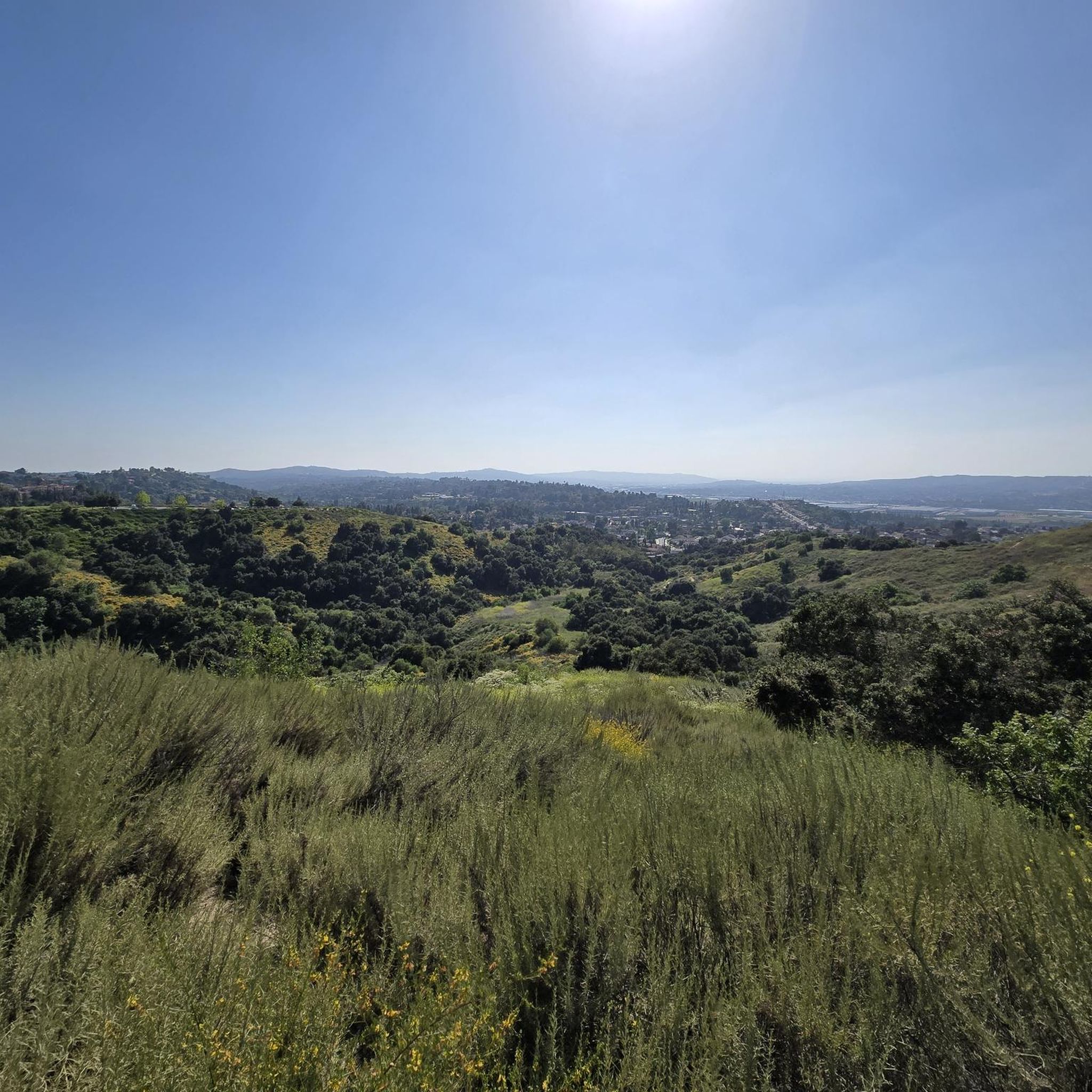
The Antonovich Trail is a short, charming, and easy hike that runs alongside a stream. The trail offers plenty of shade, rolling hills, and oak woodlands. Rocks are available to help cross the streams, but be cautious as they can be loose—walking sticks are recommended.
0
0
Great view of the Puddingstone Reservoir, a 250-acre man-made body of water. There is a road that runs along the perimeter of the reservoir and there is a spot to pull off the road to get a close up view of the water.
0
0

The Marshall Canyon Trail is in La Verne, CA, starts at Oak Mesa Park and features 1,310 feet of climbing, reaching a max elevation of 2,424 feet. Known for its oak tree cover and lush terrain, it’s often referred to as "Sherwood Forest" due to its green, shady environment. The lower section is relatively flat, with more climbing occurring deeper into the canyon. For mountain bikers, there are many variations off the main trail that can add both milage and elevation to your ride. Adding the Claremont Loop, for example, can extend the ride by 4-5 miles and 800 vertical feet. The trail and surrounding area provides a refreshing NorCal feel, with shaded trails and a creek, contrasting with the typically hot and dry surrounding hills.
0
0

Hear a plane coming in for a landing? You're experiencing air traffic from Brackett Field Airport. This airport is over 100 years old; it was established in 1911 and is one of the oldest operating airports in the Los Angeles area. There are only two runways here, and this small airport is a hub for flight training schools, charter services, and recreational flying.
0
1

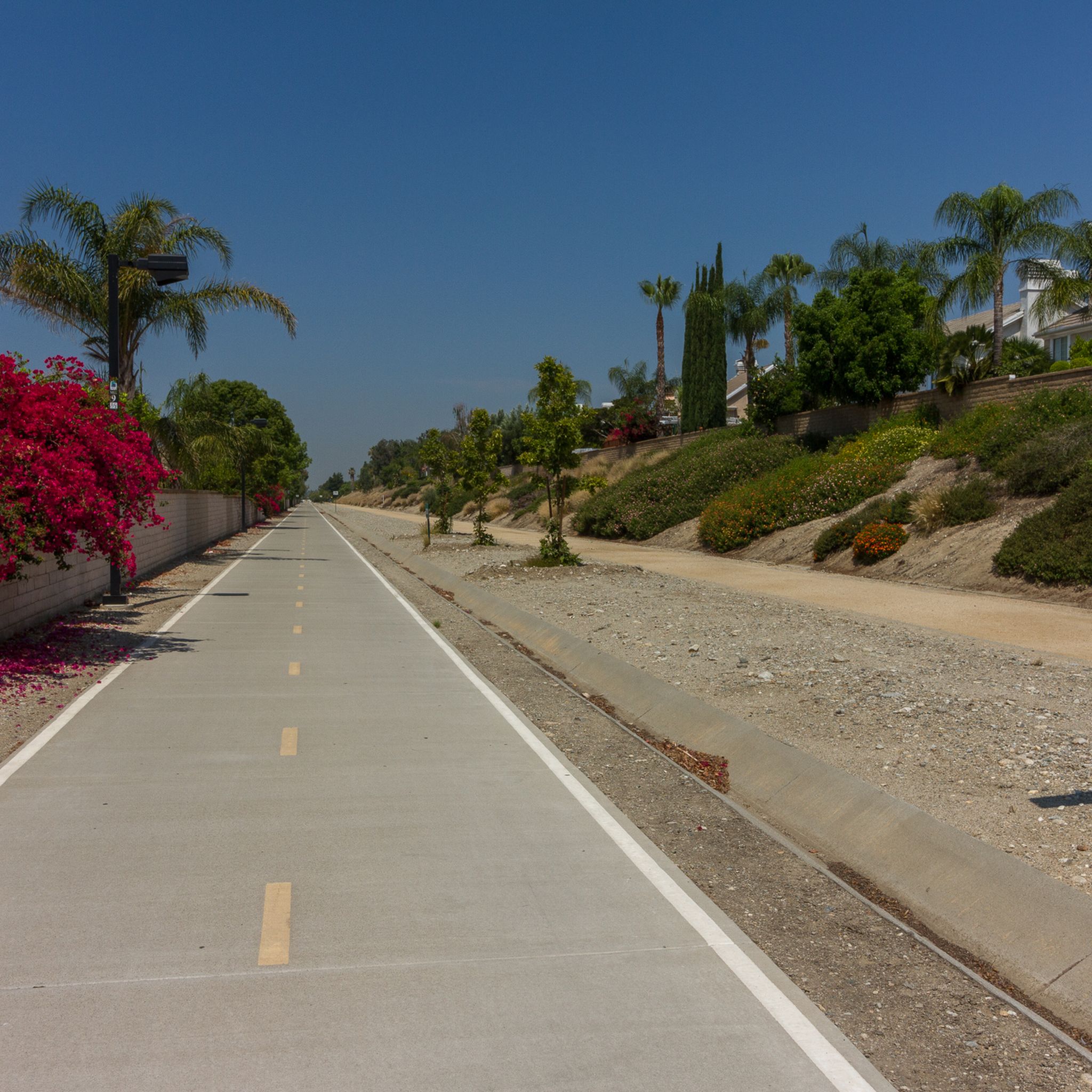
In addition to creating a beautiful natural environment that offers several spots with very good views in its surroundings, such as the Frank G. Bonelli Regional Park, you can cycle around the reservoir on several paved paths. In this reservoir, you can also enjoy many water activities.
1
0

Dedicated trail-goers will take a potato to the summit to leave as an offering to the potato gods. Check out the summit book, and the echo beneath the metal plate on the top of the tank!
0
0
Frequently Asked Questions
How many mountain bike trails are available around Pomona?
There are over 20 mountain bike trails around Pomona, offering a variety of experiences. These include 6 easy routes and 15 moderate routes, catering to different skill levels.
What kind of terrain can I expect on mountain bike trails near Pomona?
Mountain biking around Pomona offers diverse terrain, from desert canyons to oak-covered hillsides and mountainous regions. You'll encounter varied surfaces, including uneven ground, small hills, steep sections, rocks, and roots. Trails range from straightforward rolling singletrack to more challenging descents.
Are there mountain bike trails suitable for beginners in Pomona?
Yes, Pomona has several easy mountain bike trails perfect for beginners. An excellent option is the Puddingstone Reservoir Dam loop from Frank G. Bonelli Regional Park, which is 7.7 miles long and takes about 1 hour to complete, offering scenic views around the reservoir with minimal elevation gain.
Are there challenging mountain bike routes for experienced riders in Pomona?
While there are no routes explicitly rated as 'difficult' in the immediate area, experienced riders can find challenging climbs and longer distances on moderate trails. Routes like the Marshall Canyon Trail – Potato Mountain Peak loop from Damien High School offer substantial elevation gain over 19.2 miles, providing a good workout.
What natural features or landmarks can I see while mountain biking near Pomona?
You can enjoy diverse natural features and landmarks. Many routes offer views of Puddingstone Reservoir. Trails like Marshall Canyon Trail are known for extensive oak tree cover, while others pass by the Little Dalton Debris Basin. The region's proximity to the San Gabriel Mountains also means distant peak views.
Is parking available at the trailheads for mountain biking in Pomona?
Yes, parking is generally available at popular starting points for mountain bike trails. For example, routes around Puddingstone Reservoir often start from Frank G. Bonelli Regional Park, which has parking facilities. Trails like those in Marshall Canyon may have parking near Damien High School or other access points.
Can I reach mountain bike trailheads in Pomona using public transport?
While some trailheads might be accessible via public transport, many mountain biking routes in the Pomona area are best reached by car due to their location in natural parks and canyons. It's advisable to check local public transport schedules and routes for specific trailhead access points.
Are there family-friendly mountain bike trails around Pomona?
Yes, there are family-friendly options, especially the easier routes. The Puddingstone Reservoir Dam loop from La Verne is an easy 9.4-mile ride with minimal elevation, making it suitable for families looking for a relaxed outing.
Are dogs allowed on the mountain bike trails near Pomona?
Policies regarding dogs vary by park and trail. In general, many trails in the region, especially those in regional parks or state parks, allow dogs on a leash. However, it's always best to check the specific regulations for the trail or park you plan to visit before heading out with your dog.
What is the best time of year to go mountain biking in Pomona?
The Pomona area generally offers good mountain biking conditions for much of the year. Spring and fall provide pleasant temperatures, making them ideal. Winter can also be good, though some higher elevation trails might be cooler. Summers can be hot, so early morning or late afternoon rides are recommended during those months.
What do other mountain bikers enjoy most about the trails in Pomona?
The mountain bike trails in Pomona are highly rated by the komoot community, with an average score of 4.6 stars. Riders often praise the diverse terrain, from desert canyons to lush oak-covered hillsides, and the variety of routes that cater to different skill levels, from easy reservoir loops to challenging climbs in areas like Marshall Canyon.
How long do mountain bike trails typically take to complete in Pomona?
Trail durations vary significantly based on length and difficulty. Easy loops, like those around Puddingstone Reservoir, can take about 1 to 1.5 hours. Moderate routes, such as the Marshall Canyon Trail loop from Damien High School (16.1 miles), typically take around 2.5 to 3 hours, while longer, more challenging routes can extend to over 3 hours.
Most popular attractions around Pomona

Get inspired with the komoot mobile app


Explore more
Browse the best MTB trails in other regions.
