The best MTB trails around Santa Clara
3.9
(49)
565
riders
67
rides
Mountain biking around Santa Clara offers a diverse landscape, characterized by a mix of flat bay trails, scenic lakeside paths, and gentle hills. The region features routes along reservoirs and sloughs, providing varied terrain for cyclists. Elevation gains are generally modest, making many areas accessible for different skill levels.
Best mountain bike trails around Santa Clara
- The most popular mountain bike trail is Vasona Reservoir – Camden Ponds loop from Bascom, a 14.3 miles (23.0 km) trail that takes…
Last updated: November 8, 2026
3.0
(1)
14
riders
Easy mountain bike ride.
15
riders
19.8km
01:03
70m
70m
Easy mountain bike ride.

9
riders
34.1km
02:13
350m
350m
Moderate mountain bike ride. Good fitness required.
5.0
(3)
10
riders
Moderate mountain bike ride. Good fitness required.
5
riders
72.1km
05:37
1,230m
1,230m
Hard mountain bike ride. Very good fitness required. Advanced riding skills necessary.
Get access to more routes and recommendations from other explorers.
Already have an account?
Our route recommendations are based on thousands of hikes, rides, and runs completed by other people on komoot.
Start today with a free account
Your next adventure awaits.
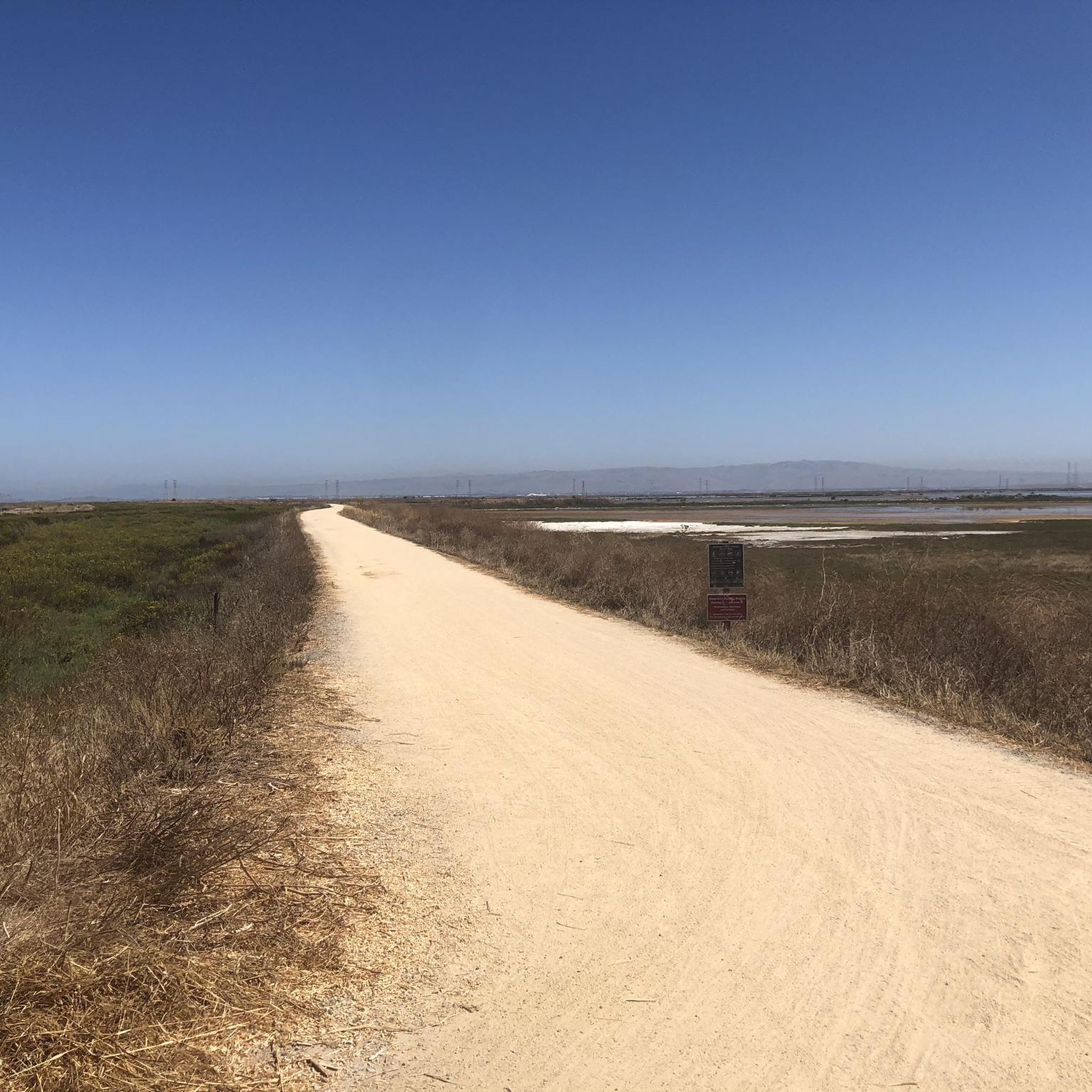
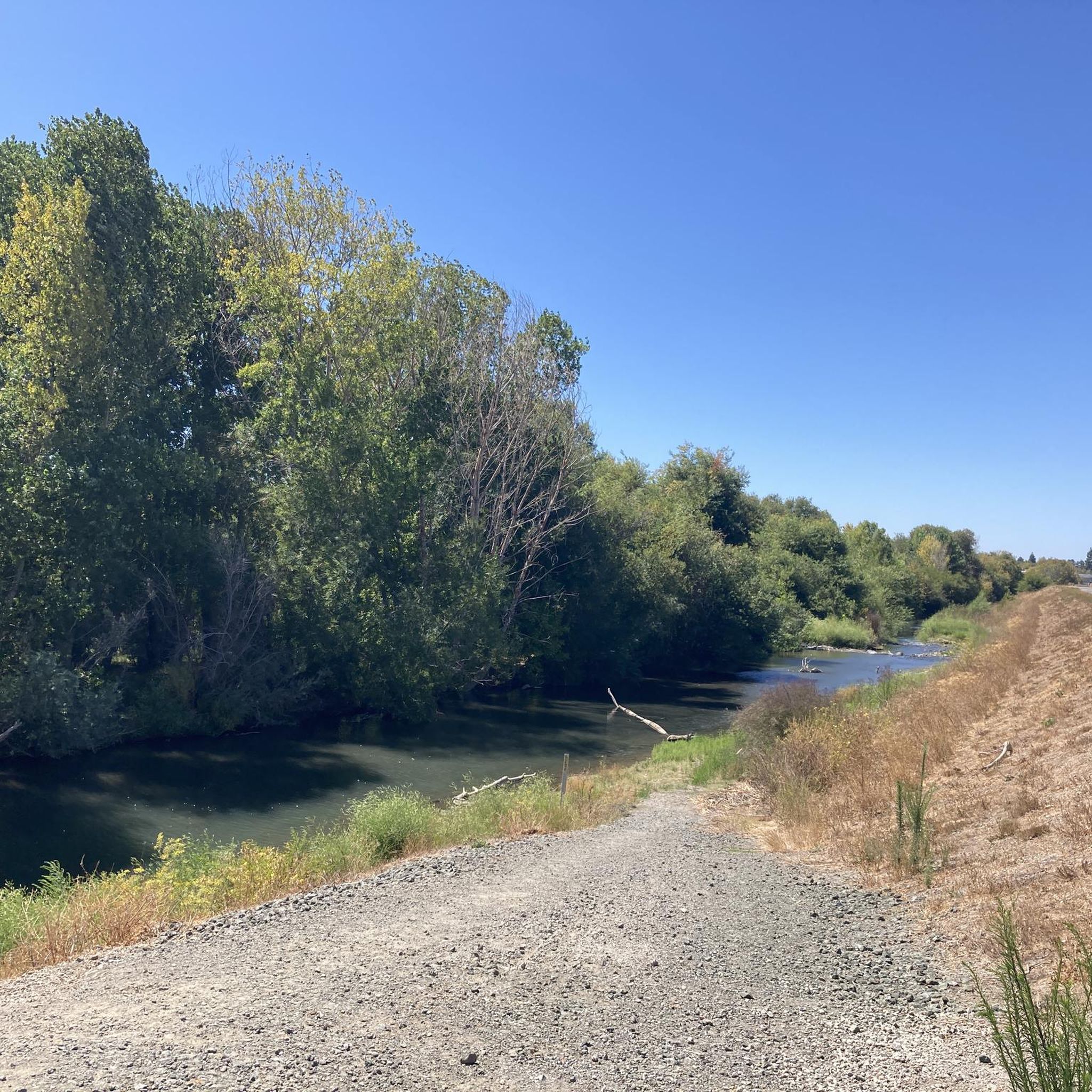
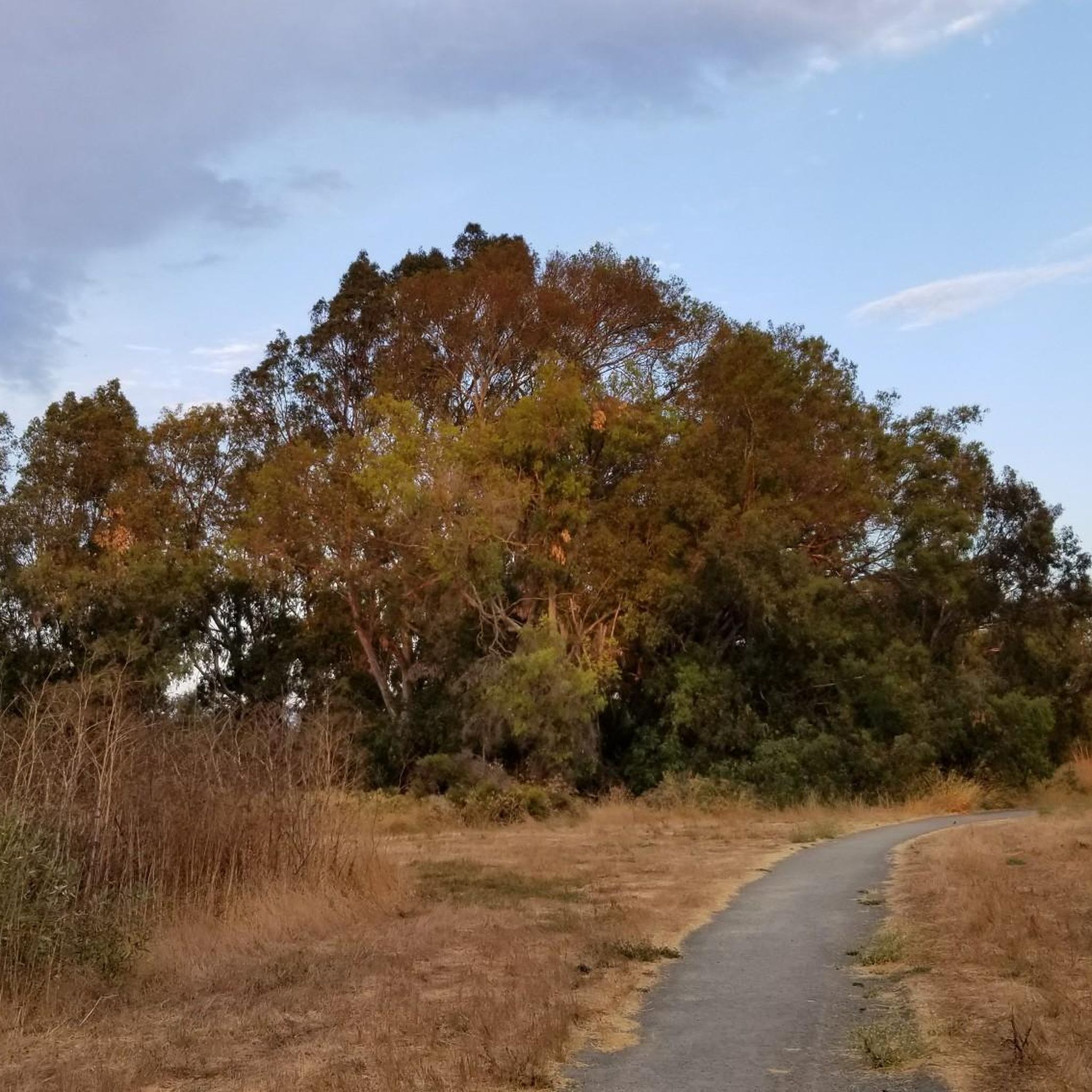
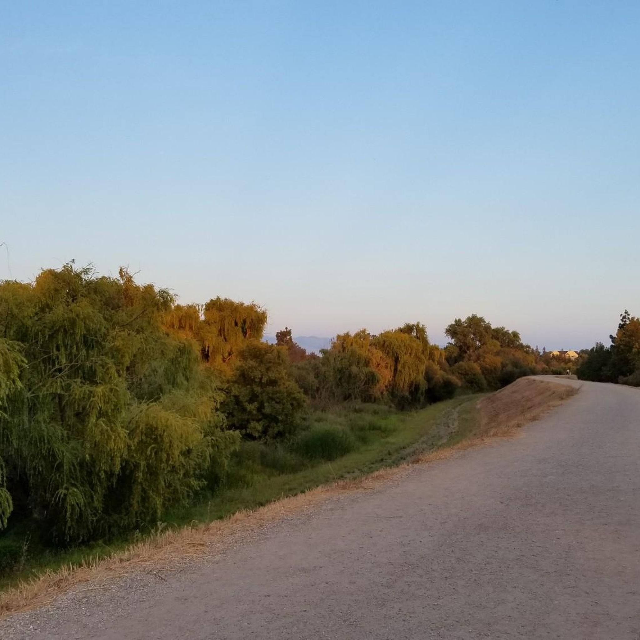

Tips from the Community

This 1,280-acre park has a handful of bikeable trails set amidst mature Douglas fir and oak trees. You can link together some pretty long loops here, if you want.
0
0

The Los Gatos Creek Trail offers a safe paved trail for walkers, joggers, cyclists, skaters, and nature lovers. Spanning multiple jurisdictions, it runs from San Jose through Campbell and Los Gatos, managed by agencies from these areas. The Campbell section has some nice shady spots, a gazebo, and an exercise circuit near Campbell Park; the whole trail spans about 10 miles.
0
0

Vasona Reservoir, located on Los Gatos Creek, is surrounded by the 152-acre Vasona Lake County Park. Built in 1935 as one of six original reservoirs approved by voters in 1934. Vasona Reservoir holds 495 acre-feet of water and spans 57 acres. The park offers picnicking, catch-and-release fishing, and human-powered boating. Swimming is not permitted. It's a great spot for photography and sunrises.
1
0

The San Francisco Bay Trail is a flat, paved trail that runs along the border of the bay. It is a great place for a run because it is traffic free and has great views.
0
0
Forbes Mill Museum, housed in a two-story building of the original 1854 flour mill, offers a glimpse into Los Gatos' history. Built by James Alexander Forbes as California's first commercial flour mill, over the years, it served various roles, including a power plant and a PG&E substation. Saved from demolition in 1982, the building now features historical exhibits as part of New Museum Los Gatos.
0
0

The Donald M. Somers Water Pollution Control Plant, also called the Sunnyvale Water Treatment Center, is a wastewater treatment plant focused on making the water clean enough to be safely released into San Francisco Bay or used for non-drinking purposes. The plant produces about 300 million gallons of recycled water each year.
0
0
Frequently Asked Questions
How many mountain bike trails are available around Santa Clara?
There are over 65 mountain bike trails around Santa Clara, offering a wide range of options for different skill levels and preferences.
What kind of terrain can I expect on mountain bike trails in Santa Clara?
The region features a diverse landscape, including flat bay trails, scenic lakeside paths, and gentle hills. You'll find routes along reservoirs and sloughs, providing varied terrain with generally modest elevation gains.
Are there mountain bike trails suitable for beginners in Santa Clara?
Yes, Santa Clara offers many beginner-friendly mountain bike trails. Approximately 22 routes are rated as easy, such as the San Francisco Bay Trail – San Francisco Bay Trail loop from Crossman, which is 18.5 miles long with minimal elevation gain.
Where can I find more challenging mountain bike trails in Santa Clara?
For those seeking a moderate challenge, there are 33 routes available. Consider the Saint Josephs Hill summit – Camden Ponds loop from Bascom, which covers 21.1 miles and includes over 1,100 feet of elevation gain, offering a more strenuous ride.
Are there any family-friendly mountain bike trails in Santa Clara?
Many of the easier routes are suitable for families. Trails with flat terrain and scenic views, like the San Tomas Aquino Creek – Baylands Gravel Trail loop from Santa Clara-Great America, are great options for a family outing.
What are some scenic mountain bike trails with good viewpoints in Santa Clara?
Trails along the San Francisco Bay and around local reservoirs offer beautiful views. The Vasona Reservoir – Camden Ponds loop from Bascom provides scenic vistas of the reservoirs and surrounding natural areas.
What do other mountain bikers say about the trails in Santa Clara?
The mountain bike trails in Santa Clara are highly rated by the komoot community, with an average score of 4.3 stars from over 70 reviews. Riders often praise the varied terrain, from bay trails to gentle hills, and the accessibility for different skill levels.
Are there mountain bike trails that form a loop in Santa Clara?
Yes, many of the mountain bike routes in Santa Clara are designed as loops. Examples include the Shoreline Lake – Charleston Slough loop from Orchard, which is a 31.6-mile moderate route, and the Vasona Reservoir – Camden Ponds loop from Bascom.
What can I see along the mountain bike trails in Santa Clara?
Along the trails, you can explore natural features like San Tomas Aquino Creek and various lakes such as Stevens Creek Reservoir and Vasona Lake County Park. You might also encounter facilities like Alum Rock Park.
What is the best season for mountain biking in Santa Clara?
While mountain biking is possible year-round, spring and fall generally offer the most pleasant conditions with mild temperatures. Summers can be warm, and winters may bring rain, so checking the weather forecast is always recommended.
Are there less crowded mountain bike trails near Santa Clara?
To find less crowded trails, consider exploring routes slightly off the main paths or riding during off-peak hours, such as weekdays. Many of the 65+ routes offer a chance to find a quieter experience away from the most popular spots.
Most popular routes around Santa Clara
Most popular attractions around Santa Clara

Get inspired with the komoot mobile app


Explore more
Browse the best MTB trails in other regions.
