The best cycling routes around Sunnyvale
4.5
(448)
6,944
riders
51
rides
Touring cycling around Sunnyvale offers access to a network of trails along the San Francisco Bay and through urban greenbelts. The region is characterized by flat terrain near the Bay, featuring salt marshes, wetlands, and views of the water. Inland routes follow creek beds and green corridors, providing a mix of paved paths and natural landscapes. This area provides a strategic starting point for exploring the diverse cycling opportunities of the wider Bay Area.
Best touring cycling routes around Sunnyvale
…Last updated: October 10, 2026
4.0
(2)
6
riders
36.2km
02:03
100m
100m
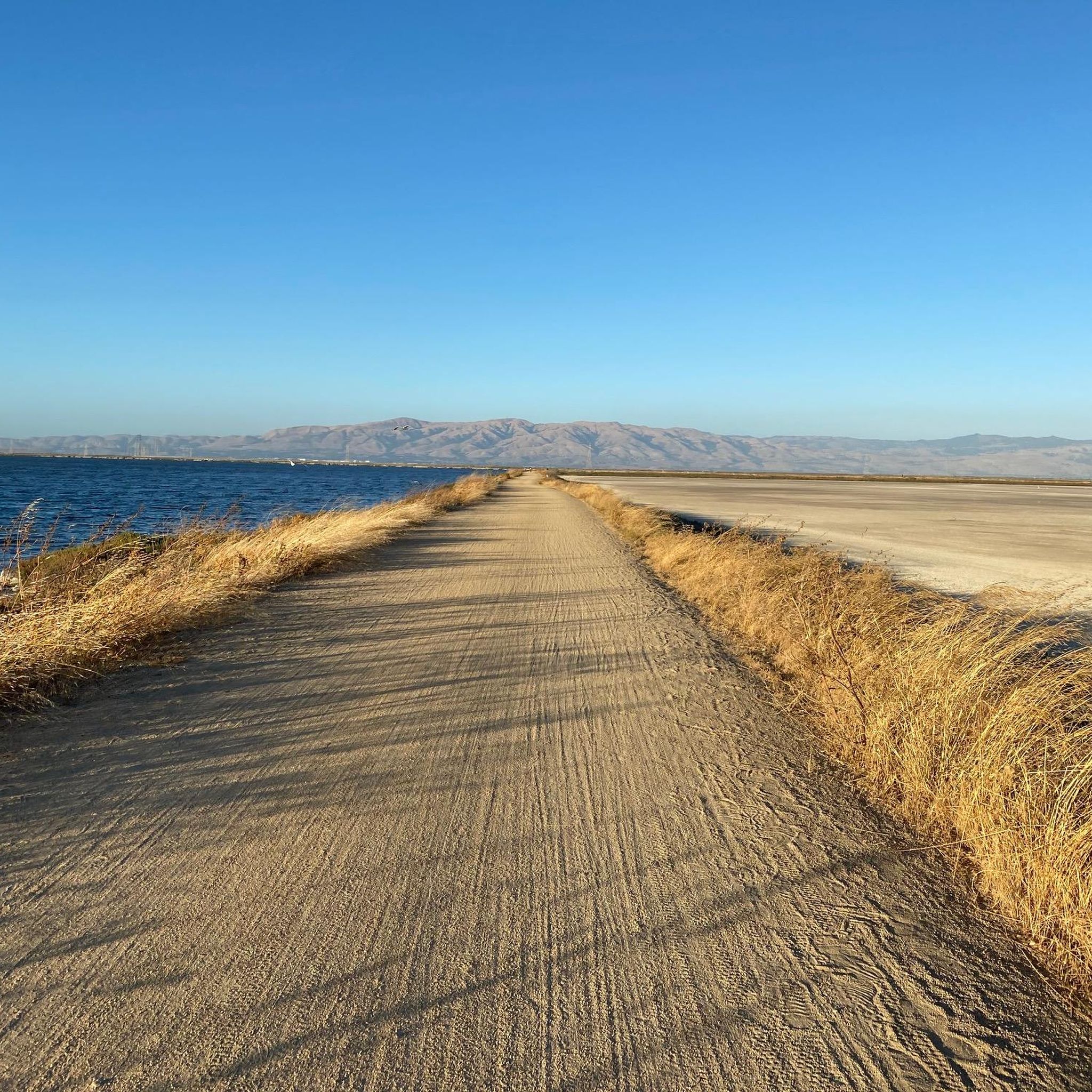
Cycle the 22.5-mile Alviso Marina County Park loop, a moderate route through vibrant salt marshes and wildlife-rich wetlands.
4.5
(14)
150
riders
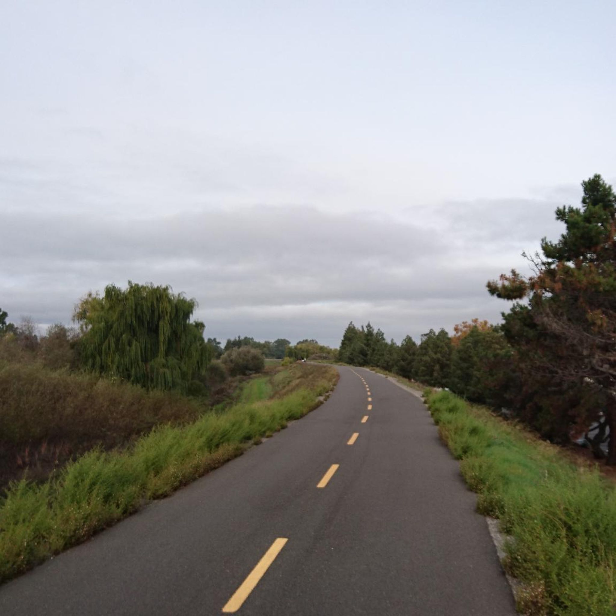
Easy bike ride. Great for any fitness level. Mostly paved surfaces. Suitable for all skill levels.

3.7
(11)
69
riders
45.9km
02:54
100m
100m
Moderate bike ride. Good fitness required. Mostly paved surfaces. Suitable for all skill levels.
4.9
(8)
48
riders
27.6km
01:45
320m
320m
Moderate bike ride. Good fitness required. Mostly paved surfaces. Suitable for all skill levels.
5.0
(1)
27
riders
128km
08:45
2,170m
2,170m
Hard bike ride. Very good fitness required. Mostly paved surfaces. Suitable for all skill levels.
Get access to more routes and recommendations from other explorers.
Already have an account?
Our route recommendations are based on thousands of hikes, rides, and runs completed by other people on komoot.
Start today with a free account
Your next adventure awaits.
Tips from the Community

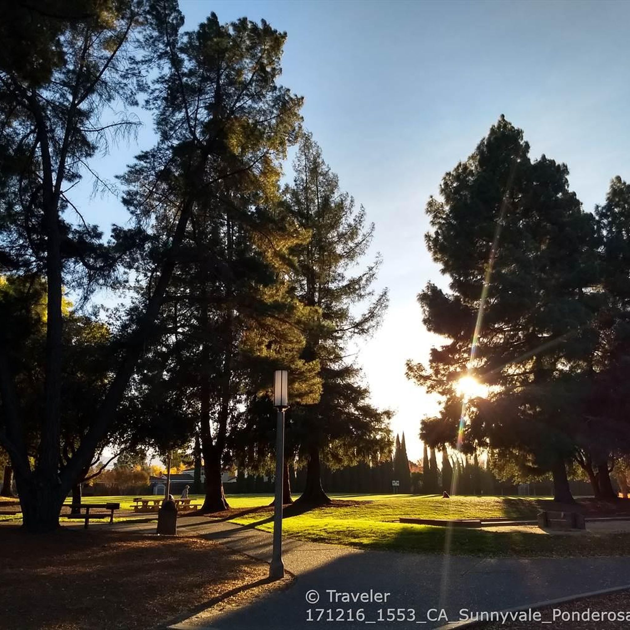
This scenic linear park, separating Los Altos from Los Altos Hills, offers a smooth, uninterrupted route ideal for a relaxing bike ride. Cyclists can enjoy its shaded paths, spot public art installations along the way, and pause at the gazebo or open grass field for a break with a view.
0
0

This hill provides wide-open views of the Santa Clara Valley and even distant mountains on clear days.
0
0
This charming house was built by Henry Rengstorff, an important local businessman. It was originally on a large ranch but has been moved twice to save it from being torn down.
0
0
Tunitas Creek Road is a popular road climb leading up to Kings Mountain. It is normally low traffic and takes you pass beautiful forest and farms.
0
0


The sculpture was built by artist James Moore to honor William Bliss, a cyclist and bike safety advocate.
0
0

Stevens Creek Reservoir spans 87 acres and is surrounded by a 1,063-acre park. Visitors can enjoy hiking, horseback riding, picnicking, and limited fishing. Seasonal boating for low-power boats is available from mid-April to mid-October. The park is open daily from 8 a.m. to sunset, with vehicle entry fees collected year-round at the Chestnut Parking Lot. Visitors can explore natural beauty and historic remnants like the Villa Maria orchard.
1
0
Frequently Asked Questions
How many touring cycling routes are available in Sunnyvale?
Sunnyvale offers a wide selection of touring cycling routes, with over 40 routes available for exploration. These routes cater to various skill levels, including 19 easy, 17 moderate, and 10 difficult options.
What kind of terrain can I expect on touring cycling routes in Sunnyvale?
The terrain around Sunnyvale is diverse. Near the San Francisco Bay, routes are generally flat, traversing salt marshes and wetlands. Inland, you'll find routes along creek beds and urban greenbelts, often on paved paths. Some routes, like the Stevens Creek Reservoir loop from Steve Jobs Garage, introduce more significant elevation changes as they venture into surrounding areas.
Are there any easy touring cycling routes suitable for beginners in Sunnyvale?
Yes, Sunnyvale is very beginner-friendly for touring cyclists. Many routes, particularly those along the San Francisco Bay Trail and through Sunnyvale Baylands Park, are flat and straightforward. The Stevens Creek bridge – San Francisco Bay Trail loop from Sunnyvale is an easy 17.8-mile path offering scenic views of the Bay.
Can I find challenging touring cycling routes in the Sunnyvale area?
For more challenging rides, you can explore routes that venture further from the immediate baylands. The Los Altos-Palo Alto Bike Trail – Kings Mountain Road loop from Sunnyvale is a difficult 78.5-mile route with substantial elevation gains, connecting to areas like Los Altos and Palo Alto.
What are the best routes for scenic views of the San Francisco Bay?
For breathtaking views of the San Francisco Bay, focus on routes that utilize the San Francisco Bay Trail. The Alviso Marina County Park loop offers a moderate ride through vibrant salt marshes and wildlife-rich wetlands with constant bay breezes and opportunities for birdwatching.
Are there any circular touring cycling routes around Sunnyvale?
Yes, many touring cycling routes in Sunnyvale are designed as loops, allowing you to start and end at the same point. Examples include the Stevens Creek bridge – Moffett Federal Airfield loop from Sunnyvale, which takes you through flat baylands, and the Stevens Creek Reservoir loop from Steve Jobs Garage.
What natural features or landmarks can I see along the touring cycling routes?
Along Sunnyvale's touring cycling routes, you can experience diverse natural landscapes such as the salt marshes and wetlands of Sunnyvale Baylands Park and the San Francisco Bay Trail. You might also encounter highlights like San Tomas Aquino Creek or enjoy views from Maisie's Peak and Crittenden Hill overlooking the Santa Clara Valley.
Are the touring cycling routes in Sunnyvale suitable for families?
Many routes in Sunnyvale are excellent for families, especially those that are flat and paved. The San Francisco Bay Trail through Sunnyvale Baylands Park is particularly suitable for leisurely family rides, offering a safe and scenic environment away from vehicle traffic.
What is the best time of year for touring cycling in Sunnyvale?
Sunnyvale generally enjoys mild weather, making touring cycling pleasant for much of the year. Spring and fall offer comfortable temperatures and often clear skies. Summer can be warm but the bay breezes along coastal routes provide relief. Winter is typically mild, though occasional rain showers may occur.
Where can I park when accessing touring cycling routes in Sunnyvale?
Sunnyvale and its surrounding parks, such as Sunnyvale Baylands Park, typically offer designated parking areas for trail access. Many routes also start from urban areas with public parking options. It's advisable to check specific starting points for parking availability.
What do other touring cyclists say about the routes in Sunnyvale?
The touring cycling routes in Sunnyvale are highly rated by the komoot community, with an average score of 4.1 stars from over 40 reviews. Cyclists often praise the extensive multi-use trails, the scenic views of the San Francisco Bay, and the well-maintained paths that make for an enjoyable riding experience.
Are there amenities like cafes or bike shops near the routes?
Yes, Sunnyvale and the surrounding Silicon Valley area are well-equipped with amenities for cyclists. You'll find several local bike shops like Walt's Cycle, Sports Basement Sunnyvale, and REI Sunnyvale for gear and repairs. Many routes pass through or near urban centers where cafes and other services are readily available.
Most popular routes around Sunnyvale
Most popular attractions around Sunnyvale

Get inspired with the komoot mobile app


Explore more
Browse the best Cycling routes in other regions.
