The best road cycling routes around Colma
4.7
(128)
6,474
riders
110
rides
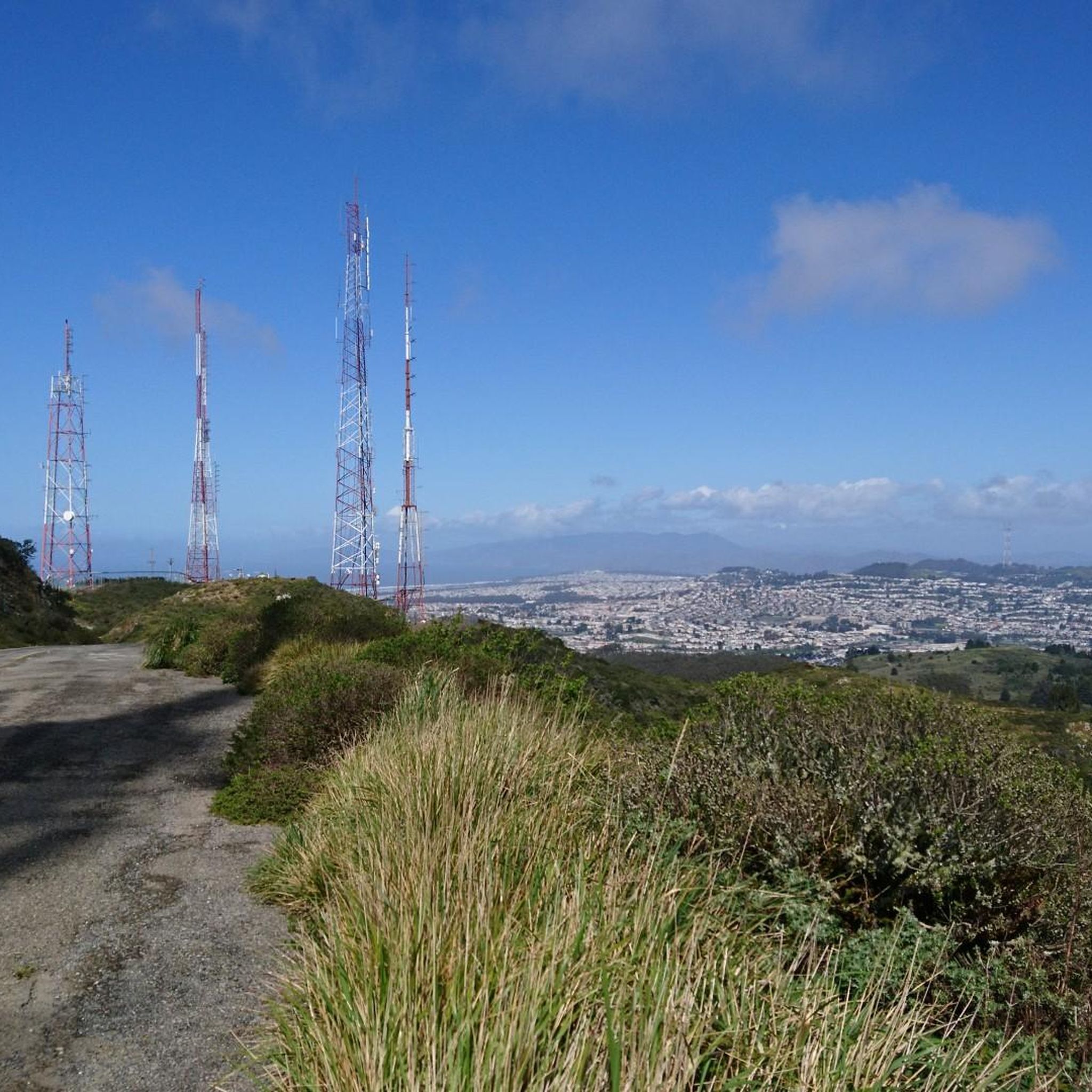
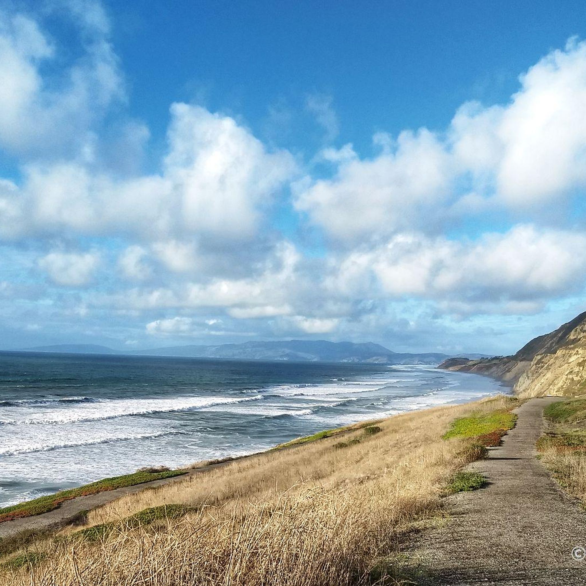
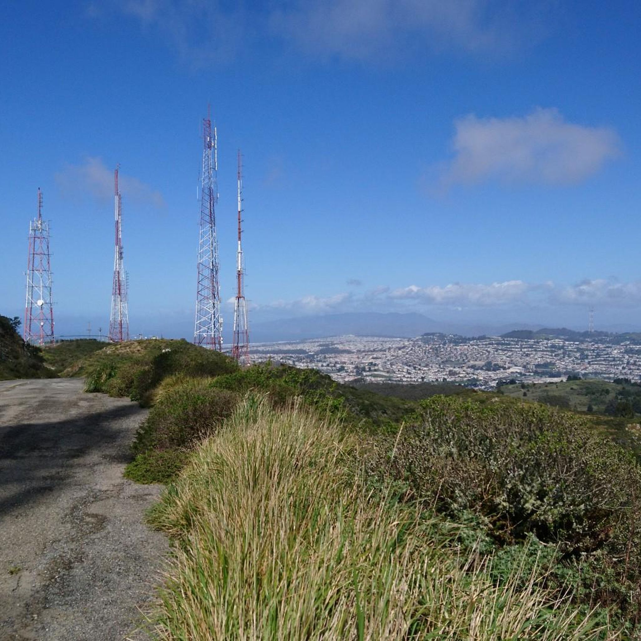
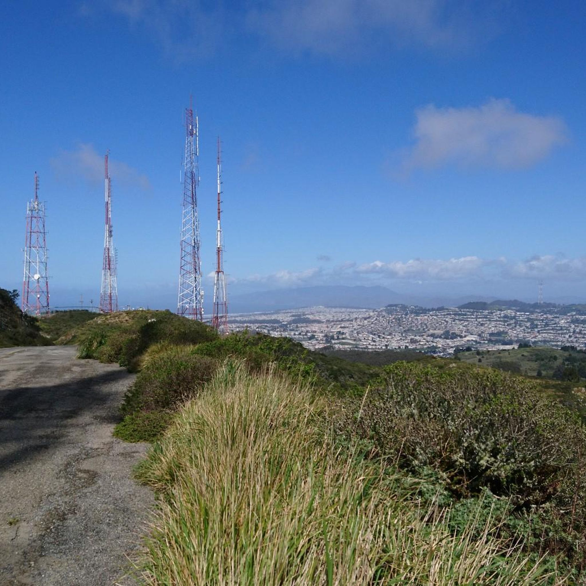
Road cycling routes around Colma offer access to diverse terrain, characterized by significant elevation changes and panoramic views of the Bay Area. The region borders San Bruno Mountain State & County Park, providing challenging climbs and descents. Its proximity to the Pacific Ocean allows for routes that extend towards the coast, incorporating scenic coastal roads. This area provides a varied landscape for road cyclists, from mountain ascents to lakeside loops.
Best road cycling routes around Colma
- The most popular road…
Last updated: November 9, 2026
3.0
(1)
55
riders
40.7km
01:58
400m
400m
Moderate road ride. Good fitness required. Mostly well-paved surfaces and easy to ride.
15
riders
31.6km
01:39
380m
380m
Moderate road ride. Good fitness required. Some segments of this route may be unpaved and difficult to ride.

5.0
(1)
19
riders
25.9km
01:24
400m
400m
Moderate road ride. Good fitness required. Mostly well-paved surfaces and easy to ride.
14
riders
49.3km
03:31
460m
460m
Moderate road ride. Good fitness required. Mostly well-paved surfaces and easy to ride.
7
riders
28.7km
01:30
410m
420m
Moderate road ride. Good fitness required. Mostly well-paved surfaces and easy to ride.
Get access to more routes and recommendations from other explorers.
Already have an account?
Our route recommendations are based on thousands of hikes, rides, and runs completed by other people on komoot.
Start today with a free account
Your next adventure awaits.
Tips from the Community

The road along the lagoon has wide cycle paths on both sides and low traffic into Oyster Park. It is however exposed to high winds so take care when riding. Smooth road right by the clear water in the shadow of Mt. Bruno make for a great bypass between SF and South SF that avoids the high traffic Bayshore Blvd and the hill.
0
0

You could almost overlook it, but at the tip of the lake is also the official starting line for the tour.
1
0

In the 1870s and 1880s, Golden Gate Park was planted on sand dunes and required substantial irrigation. In 1902, the Park Commission authorized the construction of two windmills to pump groundwater for park irrigation rather than purchasing water at exorbitant costs from the Spring Valley Water Company. The Murphy Mill was completed in 1908,[4] and pumped 40,000 US gallons (150,000 L) per hour to the park.
0
0


Tropical greenhouses surrounded by hilly trails and lawns
1
0

This paved lot has a few parking spots that are designated for trail users. There is no water or restrooms available.
0
0
Frequently Asked Questions
How many road cycling routes are available around Colma?
There are over 100 road cycling routes available around Colma, offering a wide range of options for different skill levels and preferences. The komoot community has explored more than 7,000 road cycling tours in this area.
What kind of terrain can I expect on road cycling routes near Colma?
Road cycling routes near Colma feature diverse terrain, from challenging mountain ascents around San Bruno Mountain State & County Park to scenic coastal paths leading towards Pacifica. You'll also find routes that wind through natural areas with lakes, offering a varied landscape for cyclists.
What are the difficulty levels of road cycling routes in Colma?
Colma offers a good mix of difficulty levels. You'll find approximately 43 easy routes, 67 moderate routes, and 8 difficult routes, ensuring there's something for every cyclist, from beginners to experienced riders seeking a challenge.
What is the best time of year for road cycling in Colma?
The Colma area generally offers good cycling conditions year-round, but spring and fall often provide the most pleasant weather with mild temperatures and less chance of heavy fog. Summer can bring coastal fog, especially in the mornings, while winter might see more rain, though sunny days are still common.
Are there road cycling routes with significant climbs and panoramic views?
Yes, routes around San Bruno Mountain State & County Park offer significant elevation gains and rewarding panoramic views of the entire Bay Area. A challenging option is the Guadelupe Canyon Parkway loop from Colma, which includes substantial climbing.
Can I find road cycling routes that offer coastal views?
Absolutely. Colma's proximity to the coast allows for routes that extend towards the Pacific Ocean. You can explore scenic coastal roads and areas like Devil's Slide and Gray Whale Cove State Beach. The Gray Whale Cove State Beach – Egg Rock — Devil's Slide loop from South San Francisco is a great option for coastal scenery.
What landmarks or viewpoints can I see along Colma's road cycling routes?
Many routes offer stunning views and pass by notable landmarks. You can enjoy panoramic vistas from San Bruno Mountain State & County Park, or ride towards iconic sights like the Golden Gate Bridge. Other highlights include Twin Peaks view from Christmas Tree Point and Pacifica Pier.
Is parking available near road cycling trailheads in Colma?
Parking availability varies by trailhead. Many routes starting from residential areas or parks will have street parking or designated parking lots. It's advisable to check specific route details on komoot for parking recommendations at your chosen starting point.
How accessible are Colma's road cycling routes by public transport?
Colma is served by BART (Bay Area Rapid Transit), and some routes, particularly those extending into San Francisco or starting from nearby cities, can be accessed via BART stations. For example, routes around San Bruno Mountain can be reached from the Glen Park BART area, making public transport a viable option for accessing certain cycling starting points.
Are there any permits required for road cycling in the Colma area?
Generally, no specific permits are required for road cycling on public roads and designated bike paths in the Colma area. However, if your route takes you through specific state or county parks, it's always a good idea to check their official websites for any specific regulations or fees that might apply.
What do other road cyclists enjoy about the routes around Colma?
The road cycling routes around Colma are highly rated by the komoot community, with an average score of 4.7 stars from over 100 reviews. Cyclists frequently praise the diverse terrain, from challenging climbs with rewarding views to scenic coastal stretches and lakeside loops. The variety of routes catering to different skill levels is also a common highlight.
Are there family-friendly road cycling options around Colma?
While many routes around Colma involve significant elevation changes, there are easier options suitable for families, particularly those that stick to flatter sections or designated bike paths. Look for routes categorized as 'easy' on komoot, which typically have less climbing and are shorter in distance. The San Andreas Lake – Coyote Point Recreation Area loop from Colma offers a moderate experience that can be adapted for various skill levels.
Can I find road cycling routes that include lakes or natural monuments?
Yes, several routes incorporate natural features like lakes. The San Andreas Lake – Coyote Point Recreation Area loop from Colma is a prime example, offering a moderate ride that winds through natural areas including a lake and a recreation area. Additionally, San Bruno Mountain State & County Park is a significant natural monument that many routes traverse or circumnavigate.
Most popular attractions around Colma

Get inspired with the komoot mobile app


Explore more
Browse the best Road cycling routes in other regions.
