The best running trails around Brisbane
4.8
(80)
13,099
runners
270
runs
Jogging around Brisbane offers a diverse range of urban and natural landscapes. The city is characterized by its winding Brisbane River, extensive parklands, and proximity to varied terrain, from flat riverside paths to more challenging hilly areas. This provides a mix of running environments suitable for different preferences and fitness levels.
Best jogging routes around Brisbane
- The most popular jogging route is Former Liberty Ship Wharf – Sierra Point Fishing Pier loop from Oyster Point Marina Park, a 6.0…
Last updated: October 26, 2026
87
runners
Moderate run. Good fitness required. Mostly paved surfaces.
28
runners
4.73km
00:34
60m
60m
Easy run. Mostly paved surfaces.

23
runners
Hard run. Very good fitness required. Mostly paved surfaces.
7
runners
12.3km
01:38
400m
400m
Hard run. Very good fitness required. Mostly paved surfaces.
5
runners
3.68km
00:23
10m
10m
Easy run. Mostly paved surfaces.
Get access to more routes and recommendations from other explorers.
Already have an account?
Our route recommendations are based on thousands of hikes, rides, and runs completed by other people on komoot.
Start today with a free account
Your next adventure awaits.

Tips from the Community

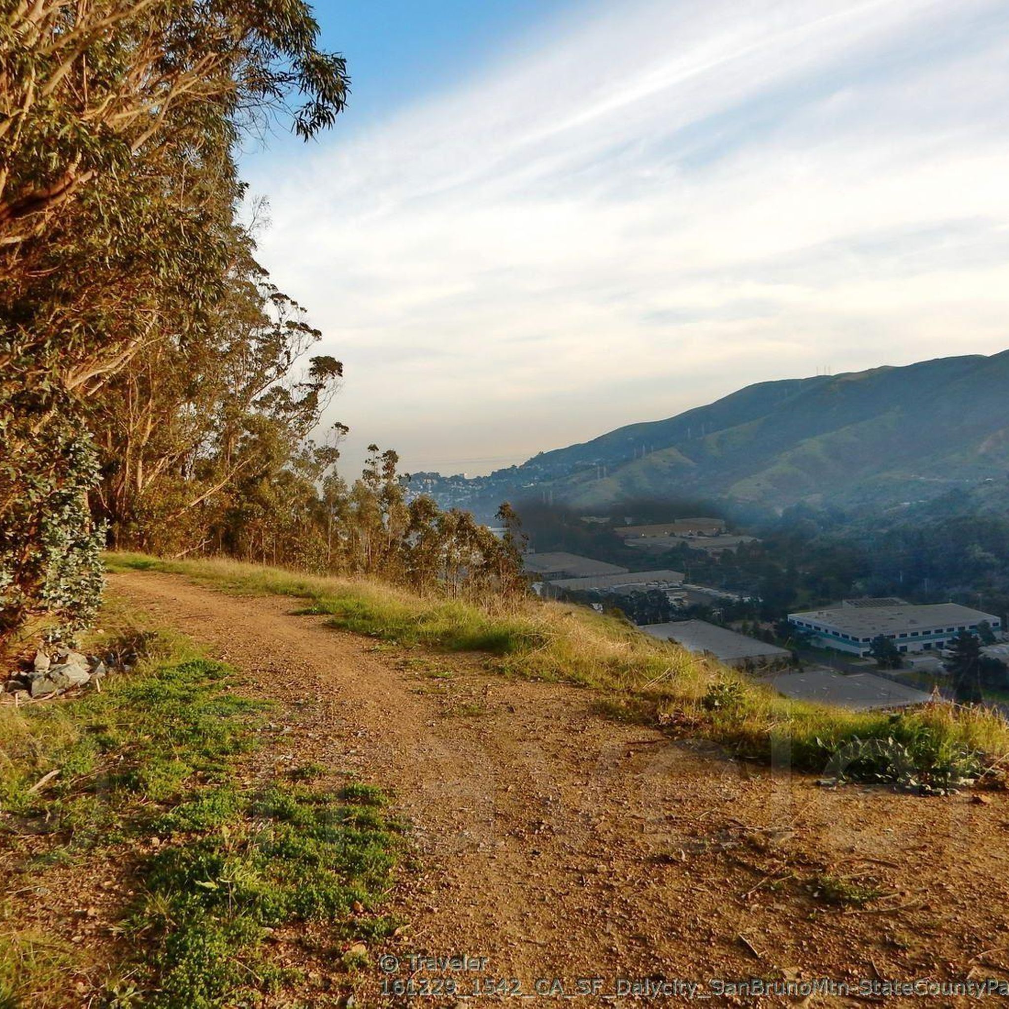
Spectacular summit overlook of the city and across the San Francisco Bay at the end of the paved Radio Road
0
0

This 2,400-acre park stands as an oasis of open space, right on the fringes of San Francisco. The highest point of the ridge is just over 1,300 feet (almost 400 meters) in elevation, and the views are great!
0
0
This 2,400-acre park stands as an oasis of open space, right on the fringes of San Francisco. The highest point of the ridge is just over 1,300 feet (almost 400 meters) in elevation, and the views are great!
2
2

At an elevation of 1,319 feet, San Bruno Mountain shoots up from sea level to the top of the state park in just a handful of miles. The main road through the heart of the park gets steep near the top, but the panoramic views of the ocean and hillsides makes it all worth the effort.
0
0
Significant peak overlooking the south side of San Francisco and the northern edge of San Mateo county, with views from the Pacific to the SF Bay
0
0
San Bruno Mountain Park is adjacent to the southern boundary between San Francisco and northern San Mateo County, and borders the cities of Brisbane, South San Francisco, Colma and Daly City -- a unique open-space island in the midst of the peninsula's urbanization at the northern end of the Santa Cruz Mountain Range. The Mountain's ridge line runs in an east-west configuration, with considerable slopes and elevations ranging from 250 feet to 1,314 feet at the summit. The 2,416 acres of rugged landscape offer excellent hiking opportunities and outstanding views of San Francisco and the Central Bay Area. https://parks.smcgov.org/san-bruno-mountain-state-county-park The trailheads at the summit offer restrooms, picnic tables, drinking water fountains, and trail maps.
0
0

Just below the highest point on the mountain offers the best views to the North and East. Be sure to turn around and take it all in.
0
0
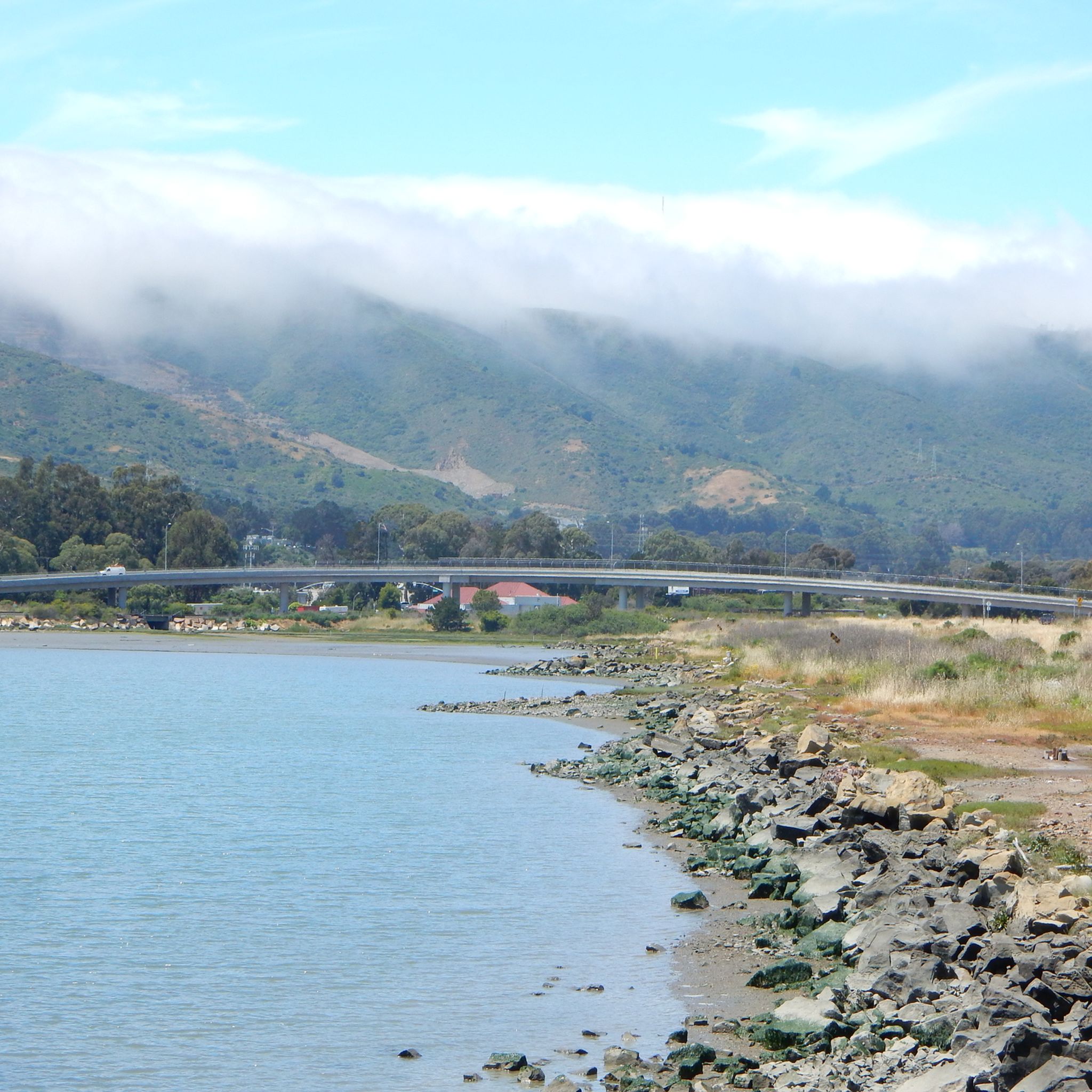
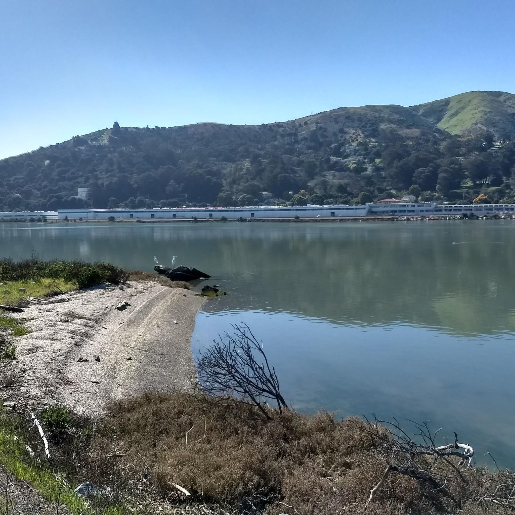
On the North side of Oyster Point, a roughly round shaped peninsula jutting into San Francisco Bay just north of the Airport, the Bay Trail hugs around a basin that used to be part of the Liberty Ship production facility during the second World War.
0
0
Frequently Asked Questions
How many running routes are available in Brisbane?
Brisbane offers a wide selection of running routes, with over 260 options available. These range from easy jogs to more challenging runs, catering to various fitness levels.
Are there easy running routes suitable for beginners in Brisbane?
Yes, Brisbane has over 30 easy running routes perfect for beginners or those looking for a relaxed jog. A great option is the Running loop from San Bruno Mountain State and County Park, which is about 4.9 km (3 miles) long and takes around 35 minutes to complete.
Where can I find challenging running trails for fitness in Brisbane?
For a more intense workout, Brisbane features 50 difficult running routes. Consider the San Bruno Views loop from Brisbane, a demanding 21.4 km (13.3 miles) path with significant elevation gain, offering panoramic views as a reward.
Are there any scenic running routes with viewpoints in Brisbane?
Absolutely! Many routes offer stunning views. The San Bruno Views loop from Brisbane provides panoramic vistas. You can also explore areas near San Bruno Mountain State & County Park or seek out viewpoints like Twin Peaks view from Christmas Tree Point for memorable scenery.
What kind of natural attractions can I see along running routes in Brisbane?
Brisbane's running routes often pass by diverse natural attractions. You might encounter beautiful lakes such as Brisbane Lagoon or Lake Merced. The trails also lead through areas like San Bruno Mountain State & County Park, offering a chance to experience local flora and fauna.
Are there circular jogging loops available in Brisbane?
Yes, many of Brisbane's running paths are designed as circular loops. For instance, the popular Former Liberty Ship Wharf – Sierra Point Fishing Pier loop from Oyster Point Marina Park is a 9.7 km (6 miles) circular route offering waterfront views.
Can I find running routes around 5km (3 miles) in Brisbane?
Yes, Brisbane has several excellent options for a 5km run. The Running loop from San Bruno Mountain State and County Park is approximately 4.9 km (3 miles) and is an easy, enjoyable trail. Another great choice is the View of Oyster Point Marina loop from Oyster Point Marina Park, which is about 4.7 km (2.9 miles).
What do other runners say about the trails in Brisbane?
The running trails in Brisbane are highly regarded by the komoot community, boasting an impressive average rating of 4.8 stars from over 50 reviews. Runners frequently praise the diverse landscapes, from riverfront paths to challenging mountain trails, and the well-maintained parklands.
Are there options for trail running in Brisbane?
Brisbane offers excellent opportunities for trail running, particularly in areas with varied terrain. Routes like the San Bruno Views loop from San Bruno Mountain State and County Park provide a more rugged experience with significant elevation changes, perfect for trail enthusiasts.
What makes running in Brisbane unique compared to other cities?
Running in Brisbane is unique due to its blend of urban and natural environments. The city's winding Brisbane River, extensive parklands, and proximity to varied terrain—from flat riverside paths to challenging hilly areas—offer a diverse range of running experiences not commonly found elsewhere.
Are there any longer running routes, perhaps around 8-10km (5-6 miles), in Brisbane?
Certainly! For longer runs, the Former Liberty Ship Wharf – Sierra Point Fishing Pier loop from Oyster Point Marina Park is a popular choice, covering 9.7 km (6 miles). It's a moderate route that offers beautiful waterfront views.
Most popular attractions around Brisbane

Get inspired with the komoot mobile app


Explore more
Browse the best Running Trails & Routes in other regions.
