The best road cycling routes around Rancho Cucamonga
4.8
(12)
945
riders
26
rides
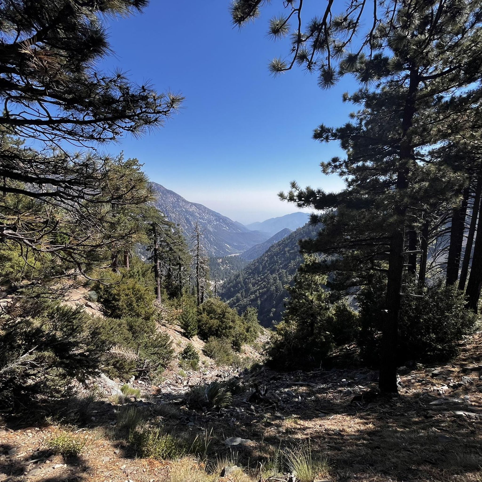
Road cycling around Rancho Cucamonga offers diverse landscapes at the base of the San Gabriel Mountains. The region features a blend of urban areas and natural beauty, providing varied terrain for cyclists. Routes often include smooth paved surfaces, access to scenic pathways like the Pacific Electric Trail, and views of the surrounding foothills. This area provides a range of road cycling experiences, from flat, accessible paths to routes with significant elevation changes.
Best road cycling routes around Rancho Cucamonga
- The…
Last updated: July 27, 2026
3.7
(3)
45
riders
34.5km
01:35
120m
120m
Easy road ride. Great for any fitness level. Mostly well-paved surfaces and easy to ride.
5.0
(1)
38
riders
42.0km
02:09
130m
130m
Moderate road ride. Good fitness required. Mostly well-paved surfaces and easy to ride.

Sign up for free
5.0
(1)
20
riders
18.8km
00:59
80m
80m
Easy road ride. Great for any fitness level. Mostly well-paved surfaces and easy to ride.
11
riders
88.5km
03:58
740m
740m
Moderate road ride. Good fitness required. Mostly well-paved surfaces and easy to ride.
23
riders
57.0km
02:36
220m
220m
Moderate road ride. Good fitness required. Mostly well-paved surfaces and easy to ride.
Get access to more routes and recommendations from other explorers.
Sign up for free
Already have an account?
Our route recommendations are based on thousands of hikes, rides, and runs completed by other people on komoot.
Start today with a free account
Your next adventure awaits.
Login or Signup
Popular around Rancho Cucamonga
Tips from the Community

The boulevard is a part of Historic Route 66, which served as a cultural lifeblood of the United States from its inception in 1926 until the construction of interstate highways in the mid-late 1900s.
0
0
There are lots of vintage shops and cafes in the historic downtown. Library Park is a great place to rest in the shade with a bite to eat before continuing your ride.
0
0

Old Town Monrovia is a 10‑block historic district centered on Myrtle Avenue, that has brick‑lined sidewalks, vintage lampposts, and boutique shops.
0
0
Monrovia Recreation Park is 22 acres and has playgrounds, picnic shelters, and restrooms. It is a good spot for a break in the shade and some water.
0
0

If you’re riding the Pacific Electric Trail, you’ll pass by Upland Basin, part of the Waterwise Community Center and Chino Basin Water Conservation District. It’s a water reservoir that helps manage stormwater for the area. You can also visit the Waterwise Community Center a few blocks south—they offer free workshops on gardening, irrigation, and more, both online and in person.
0
0
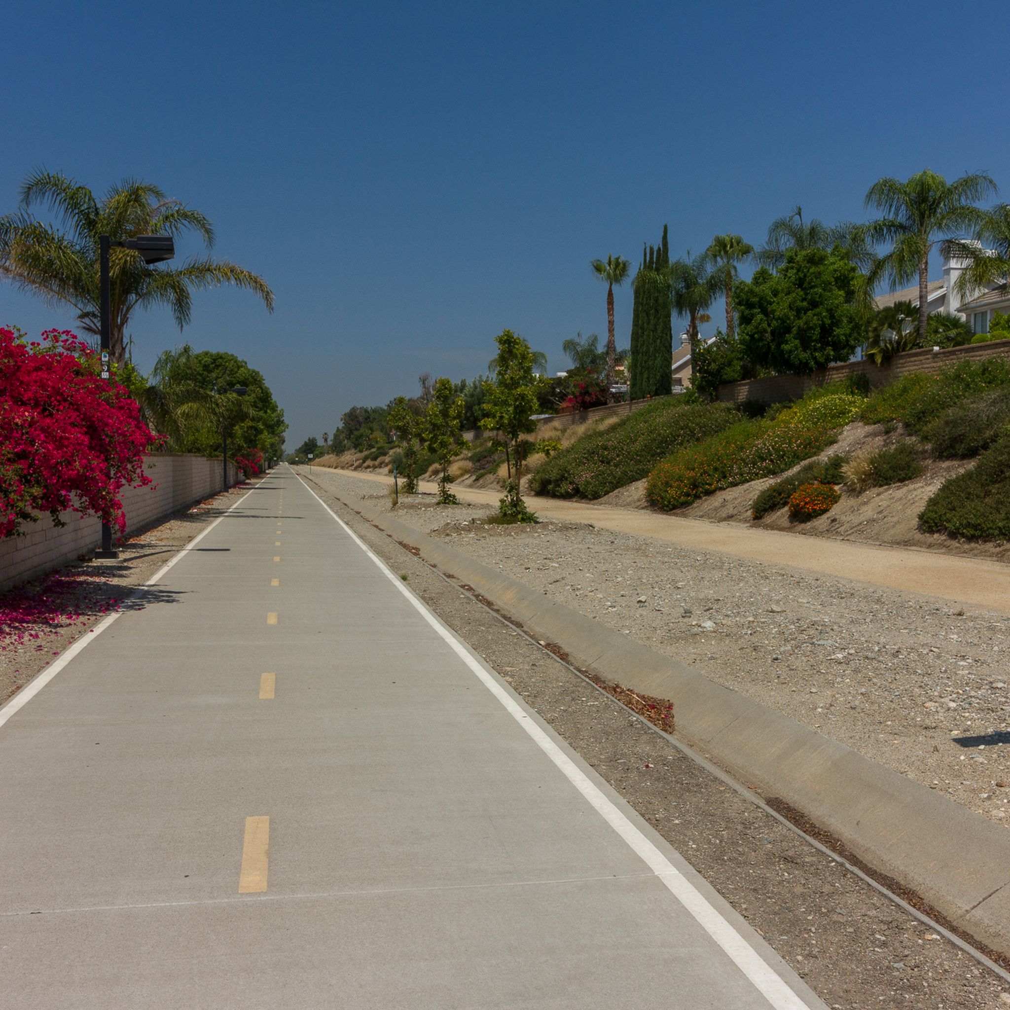
The Pacific Electric Trail is an almost 20-mile long trail that follows the original route of the Pacific Electric Railway. It is mostly paved and is not open to car traffic, but there are points where the trail crosses busy streets.
0
0

Leafy park with lawns and shaded seating, restrooms, drinking water. Great for a break
1
0

Rubel Castle in Glendora, California, is a unique building that was built by Michael Clarke Rubel. Constructed with recycled materials, including stones from local quarries and discarded items, the castle showcases unique architecture.
0
0
Frequently Asked Questions
How many road cycling routes are available around Rancho Cucamonga?
There are over 20 road cycling routes around Rancho Cucamonga, offering a variety of experiences from easy loops to more challenging rides with significant elevation changes. The komoot community has explored these routes extensively, with over 700 road cyclists using komoot in the area.
What kind of terrain can I expect on road cycling routes in Rancho Cucamonga?
Rancho Cucamonga's road cycling terrain is diverse, ranging from smooth, paved surfaces on dedicated pathways like the Pacific Electric Trail to routes with significant elevation changes as you approach the San Gabriel Mountains. You'll find a mix of urban stretches and scenic foothill roads.
Are there any easy road cycling routes suitable for beginners or families?
Yes, Rancho Cucamonga offers several easy road cycling routes. A great option is the Pomona College Museum of Art – Upland Basin loop from Central North, an easy 23.2-mile trail that provides a pleasant ride through the Upland Basin. The Pacific Electric Trail is also known for its flat, well-paved surfaces, making it ideal for all fitness levels.
Where can I find challenging road cycling routes with significant elevation gain?
For a challenge, consider routes that venture towards the San Gabriel Mountains. The San Dimas Reservoir loop from Auto Club Speedway is a moderate 42.2-mile path with over 570 meters of elevation gain. Additionally, Glendora Ridge Road, on the boundary of San Bernardino and Los Angeles counties, is known for its challenging climbs and breathtaking mountain views.
Are there scenic road cycling routes with notable landmarks or viewpoints?
Absolutely. Many routes offer scenic views, especially those near the San Gabriel Mountains. You can ride across the top of Puddingstone Dam, or explore routes that provide views of the Etiwanda Falls. The Brackett Field Airport – View of Puddingstone Reservoir loop from Pacific Electric - Etiwanda Station offers views of Puddingstone Reservoir.
Can I find routes that are circular or loop back to the starting point?
Yes, many road cycling routes in Rancho Cucamonga are designed as loops. For example, the Pomona College Museum of Art – Upland Basin loop from Central North and the San Dimas Reservoir loop from Auto Club Speedway are popular circular options, allowing you to start and end at the same location.
What natural features or attractions might I see along the routes?
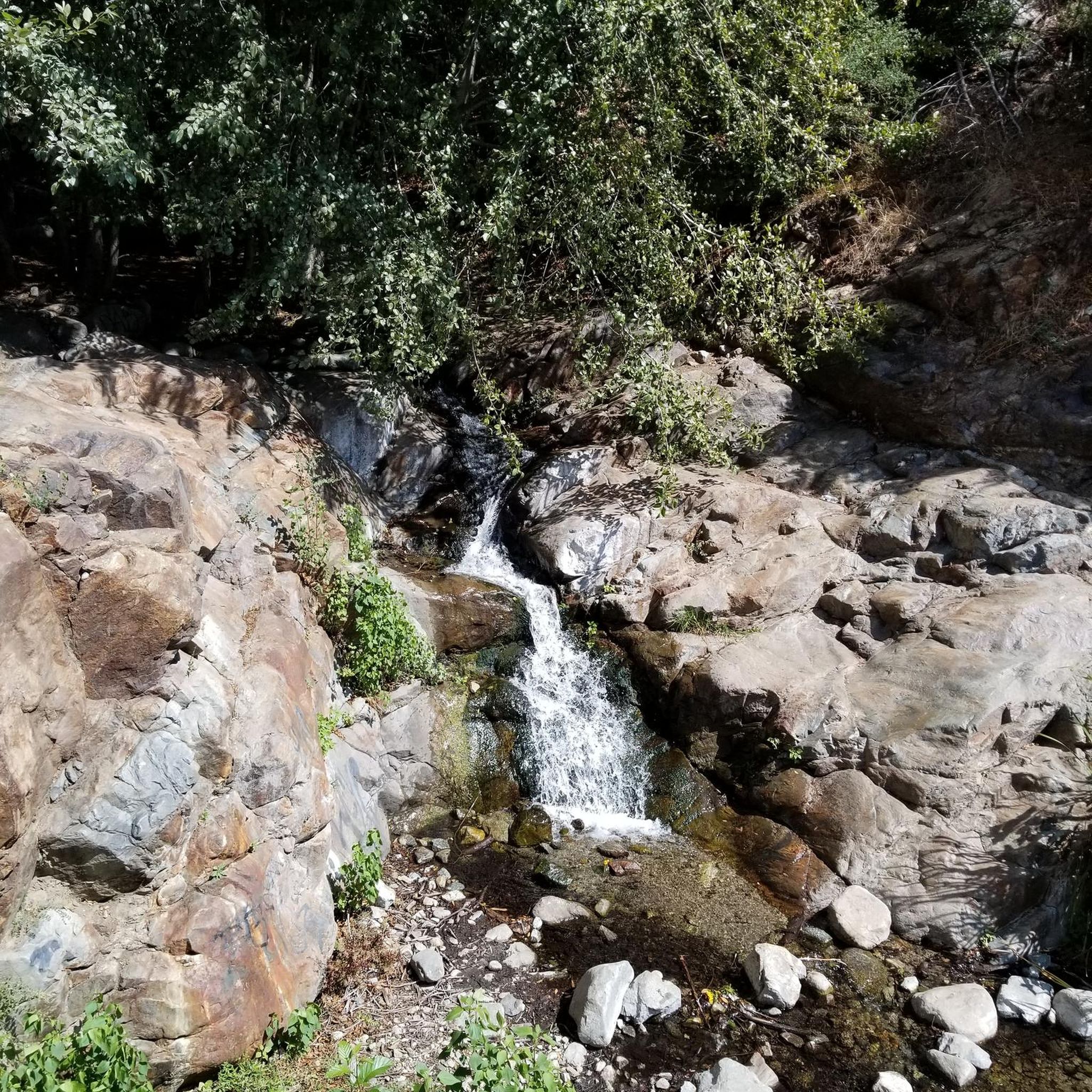
Beyond the stunning backdrop of the San Gabriel Mountains, you might encounter natural features like the picturesque Etiwanda Falls within the North Etiwanda Preserve, or the scenic Puddingstone Reservoir. The area also features parks like Cucamonga-Guasti Regional Park and Red Hill Park, offering additional natural beauty.
Is the Pacific Electric Trail suitable for road cycling, and what does it offer?
The Pacific Electric Trail is an excellent option for road cycling. It's a major draw for cyclists, stretching over 21 miles with mostly well-paved surfaces. It's free of motorized vehicles, ensuring a serene experience, and connects Rancho Cucamonga with neighboring cities. It's suitable for all fitness levels and offers access to public facilities and parks along the way.
What do other road cyclists enjoy most about the routes in Rancho Cucamonga?
The road cycling routes in Rancho Cucamonga are highly rated by the komoot community, with an average score of 5.0 stars. Cyclists often praise the diverse terrain, from the accessible Pacific Electric Trail to the challenging climbs towards the San Gabriel Mountains, and the scenic views of the foothills and natural attractions.
Are there any historical routes or cultural cycling experiences in the area?
Yes, you can experience a cultural cycling journey along Foothill Boulevard, which is part of Historic Route 66. This historic road often runs parallel to dedicated bike trails, offering a unique blend of history and cycling. You can also find the Route 66 cycle path for a dedicated experience.
What is the best time of year for road cycling in Rancho Cucamonga?
Rancho Cucamonga benefits from sunny weather and extended summers, making it suitable for year-round outdoor activities. Spring and fall generally offer the most comfortable temperatures for road cycling, but the mild winters can also be pleasant for rides, especially at lower elevations.
Are there options for combining road cycling with other activities, like visiting parks?
Absolutely. Many routes pass by or provide easy access to local parks. Cucamonga-Guasti Regional Park offers picnicking, swimming, and paddle boating, while Red Hill Park features a large pond and extensive trails. These parks can be great spots for a break or to extend your outdoor experience after a ride.
How long are the road cycling routes typically in Rancho Cucamonga?
The road cycling routes in Rancho Cucamonga vary significantly in length. You can find shorter, easy loops like the Pomona College Museum of Art – Upland Basin loop from Central North at 23.2 miles, up to longer, more challenging rides such as the Rubel Castle – Monrovia Historic Downtown loop from Upland, which spans over 55 miles.
Most popular routes around Rancho Cucamonga
Most popular attractions around Rancho Cucamonga

Get inspired with the komoot mobile app


Explore more
Browse the best Road cycling routes in other regions.
