The best road cycling routes around Rolling Hills Estates
4.5
(25)
1,740
riders
58
rides
Road cycling around Rolling Hills Estates is characterized by its diverse topography, featuring panoramic rolling hills, steep canyons, and coastal sage scrub. The region offers a dynamic environment for cyclists, with varied elevation and mostly well-paved surfaces. Riders frequently encounter sweeping views of the city and the Pacific Ocean, making for scenic and engaging routes. This area provides a robust environment for outdoor recreation, with a particular emphasis on cycling.
Best road cycling routes around Rolling Hills Estates
- The most…
Last updated: October 28, 2026
135
riders
57.0km
02:46
790m
790m
Moderate road ride. Good fitness required. Mostly well-paved surfaces and easy to ride.
7
riders
20.5km
00:59
270m
270m
Easy road ride. Mostly well-paved surfaces and easy to ride.

5
riders
14.0km
00:43
160m
160m
Easy road ride. Mostly well-paved surfaces and easy to ride.
3
riders
24.1km
01:07
230m
230m
Easy road ride. Mostly well-paved surfaces and easy to ride.
Get access to more routes and recommendations from other explorers.
Already have an account?
Our route recommendations are based on thousands of hikes, rides, and runs completed by other people on komoot.
Start today with a free account
Your next adventure awaits.
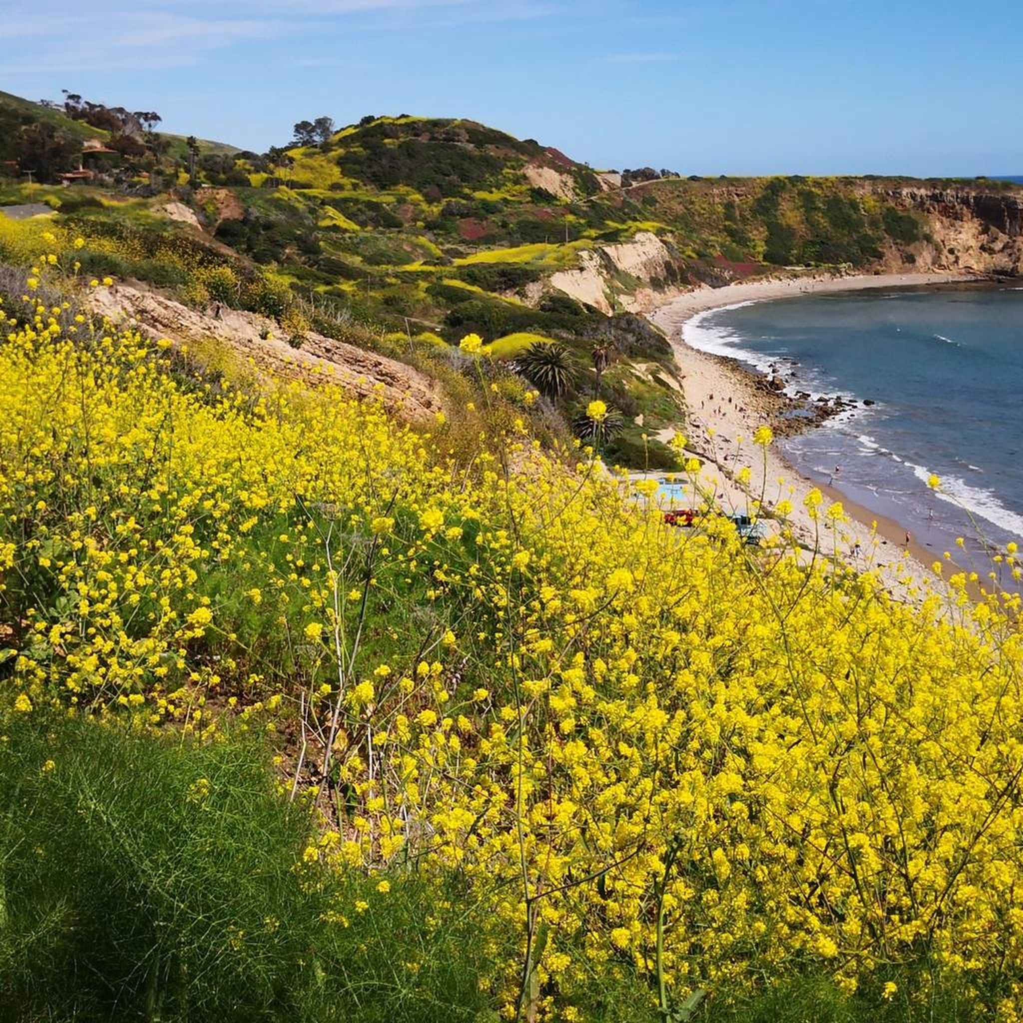
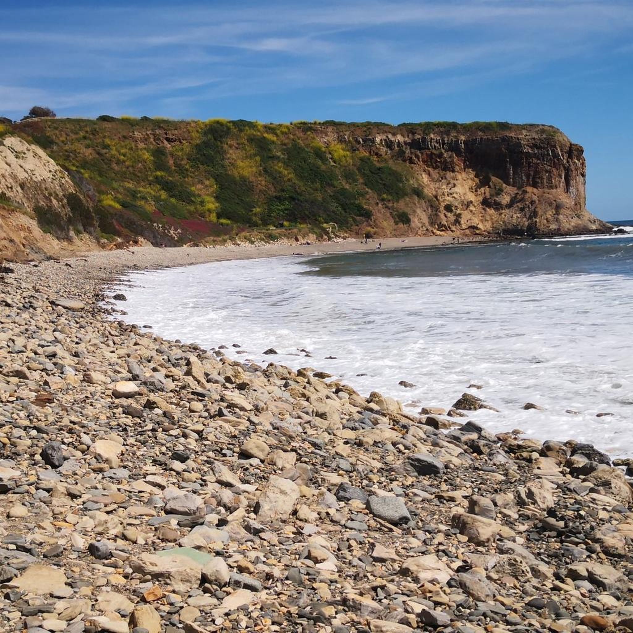
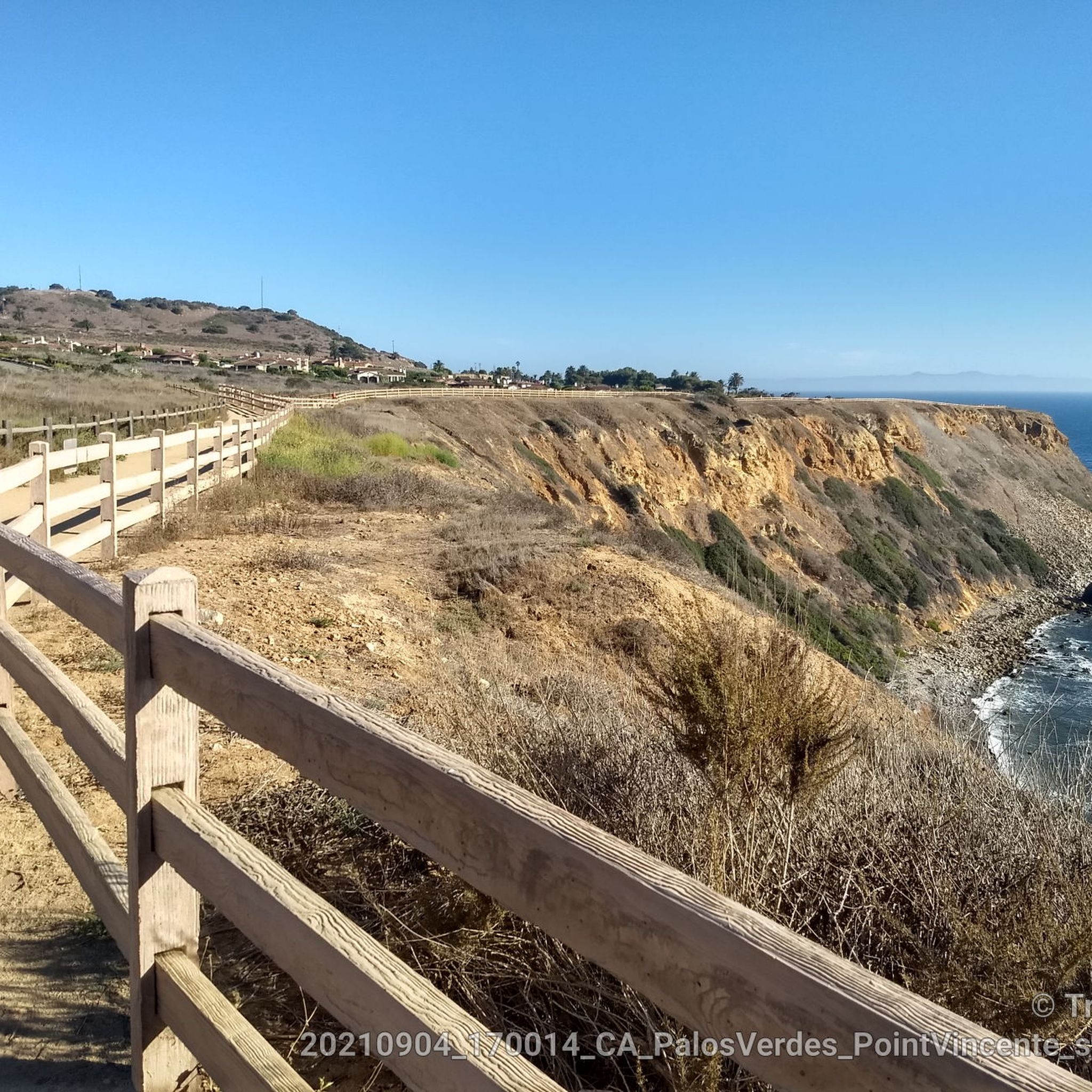
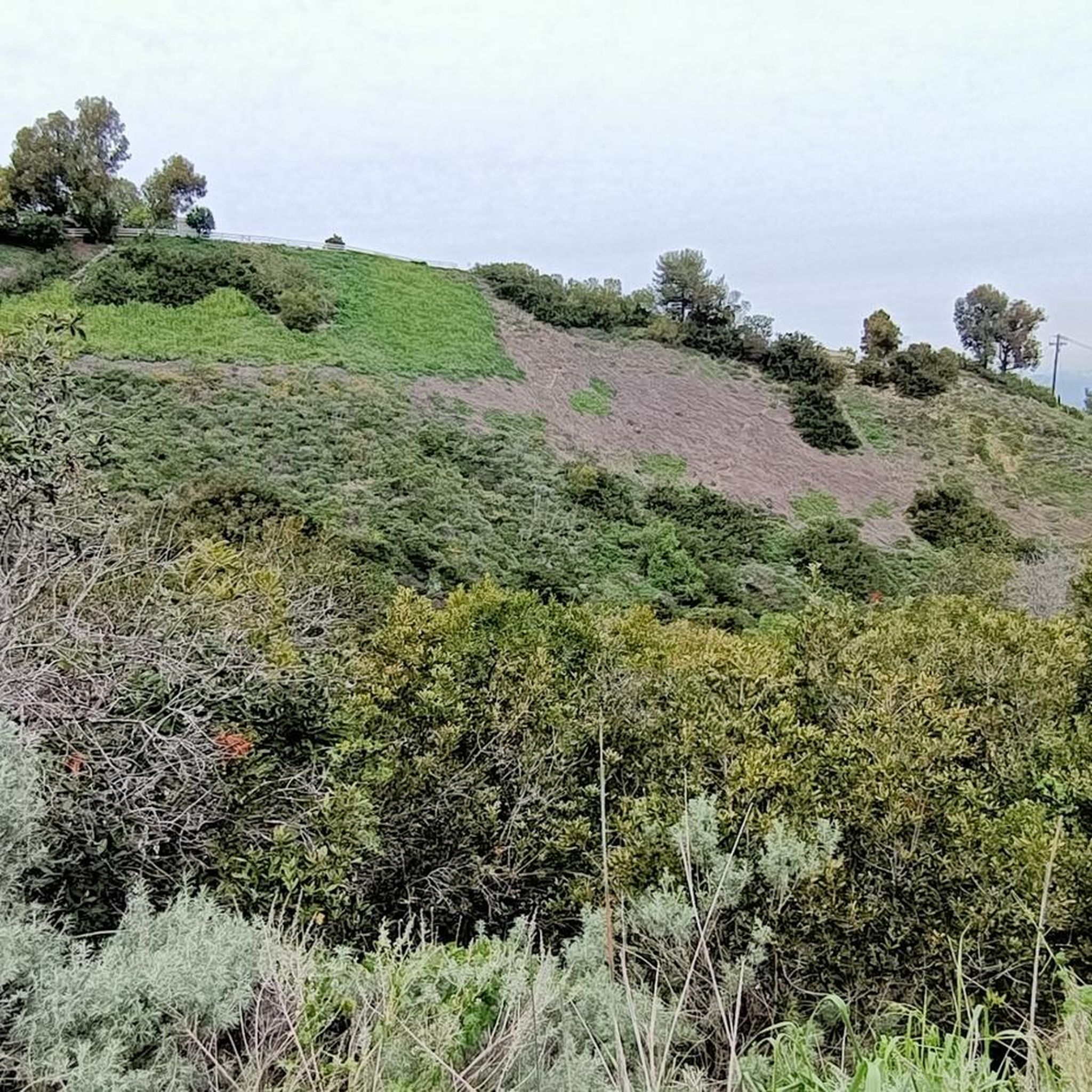
Tips from the Community

From this spot you get an amazing view out to the Pacific Ocean.
0
0

Redondo Beach State Park, located along Pacific Coast Highway 1, offers a vibrant mix of attractions. Once a commercial port, the area now features the Redondo Pier with shops, restaurants, marinas, live music, a skate park, and a sport fishing fleet. The oceanfront esplanade is a walkway known for its stunning sunsets and scenic ocean views. King Harbor has great seafood swimming beaches, surfing, boating, and fishing. More attractions like Veterans Park, Czuleger Park, and the famous “Whaling Wall” by artist Wyland on the old power plant are just as popular as the Redondo beach.
0
0

Torrance Beach lies between Redondo Beach and Malaga Cove. The region shared by Torrance and Redondo Beaches is often called “RAT Beach” (short for “Right After Torrance” Beach or “Redondo and Torrance Beach”). This beautiful, soft sand beach has 40 acres of beach and is at the foot of cliffs which extend to the Palos Verdes Peninsula. There restrooms, a concession stand, showers, bike path, beach wheelchairs, and volleyball nets. Torrance Beach is great for swimming, fishing, scuba and skin diving, and surfing.
1
0
Palos Verdes Drive is a scenic ride with climbs, descents, and turns. The South segment near the Portuguese Bend is prone to landslides and is sometimes closed. The best times to ride are in the mornings on weed days, when there is minimal traffic and cooler temperatures. Public restrooms and water are available at the Point Vicente Interpretive Center, Abalone Cove Park, and Malaga Cove School, located in the parking area.
1
0
Palos Verdes Cove begins at Flat Rock Point and rounds into Rancho Palos Verdes. The cove is a protected marine preserve and a well-known surf spot, with both left and right waves. The views from the tops of the cliffs are amazing.
1
0

At this point in your hike, you'll be treated to sweeping coastal views from the bay.
0
0
Torrance Beach sometimes goes by another name: locals call the last sandy stretch before the Palos Verdes cliffs "RAT" Beach, meaning "Right After Torrance." Torrance Beach, nestled between Redondo Beach and Malaga Cove, features 40 acres of soft sand at the base of cliffs extending to the Palos Verdes Peninsula. With over 300 parking spaces, many at the end of the Esplinade, the beach offers restrooms, showers, a concession stand, bike paths, and volleyball nets. It's a popular spot for swimming, fishing, scuba diving, and surfing.
0
0
Miramar Park, located on 1.6 acres above Torrance Beach, offers pristine ocean views and easy access to the shoreline via a ramp or staircase. Owned and maintained by the City of Torrance, the park was dedicated in 1984 after a collaborative effort with Los Angeles County to secure beach access. It features benches, security lighting, whimsical animal statues, and a plaque marking the historic site of the Hollywood Riviera Beach Club, which existed from 1931 to 1958. The park also includes a “Fido Fountain” for dogs and marks the end of the upper Esplanade.
0
0
Frequently Asked Questions
What kind of terrain can I expect when road cycling around Rolling Hills Estates?
Rolling Hills Estates is characterized by its diverse topography, featuring panoramic rolling hills, steep canyons, and coastal sage scrub. You'll find varied elevation, from moderate climbs to more challenging ascents, often on mostly well-paved surfaces. Many routes offer sweeping views of the city and the Pacific Ocean.
Are there road cycling routes suitable for beginners or those looking for an easier ride?
Yes, the area offers a range of routes catering to various ability levels. While many routes feature rolling hills, there are options for easier rides. For example, the Roadbike loop from Los Angeles Harbor College is a moderate 14.8-mile trail that provides a good introduction to the region's terrain without excessive difficulty.
Where can I find challenging road bike climbs in the Palos Verdes Peninsula area?
The 'rolling hills' of the Palos Verdes Peninsula are a significant draw for cyclists seeking a challenge. Routes incorporating the 'Via Del Monte Climb' are known for their elevation gain. The Via Del Monte Climb – Bluff Cove loop from Lomita, for instance, covers 28.7 miles with over 780 meters of elevation gain, making it a demanding ride.
What are some scenic viewpoints or natural features I can see along the road cycling routes?
Many routes in Rolling Hills Estates offer spectacular vistas. You can expect sweeping panoramas overlooking wildflower-dotted slopes leading to the distant Pacific Ocean. Notable natural features and viewpoints include Miramar Park, which provides scenic ocean views, and the general coastal hills that frequently reward riders with ocean vistas. The Palos Verdes Nature Preserve also offers stunning views of the Pacific Ocean and Catalina Island.
Are there any long-distance road cycling routes near Rolling Hills Estates?
For those looking for a longer ride, the Miramar Park – Del Cerro Park loop from Mary Star of the Sea High School is a challenging 61.7-mile route with over 1100 meters of elevation gain, offering an extensive exploration of the area's diverse landscapes.
What is the best time of year to go road biking in Rolling Hills Estates?
The Palos Verdes Peninsula generally enjoys a mild climate, making road cycling enjoyable for much of the year. Spring and fall often offer pleasant temperatures and clear skies. The region is known for wildflower-dotted slopes, particularly in spring, which adds to the scenic beauty of the rides.
Are there any circular road bike routes available?
Yes, many of the popular road cycling routes in Rolling Hills Estates are designed as loops. Examples include the Bluff Cove – Via Del Monte Climb loop from South Bay and the Via Del Monte Climb – Palos Verdes Cove loop from Mary Star of the Sea High School, allowing you to start and end at the same point.
What do other road cyclists enjoy most about road cycling in Rolling Hills Estates?
The area is highly rated by the komoot community, with an average score of 4.3 stars from over 40 reviews. Cyclists frequently praise the varied terrain, the mostly well-paved surfaces, and especially the sweeping views of the city and the Pacific Ocean. The combination of challenging climbs and rewarding panoramas is a common highlight.
Are there any specific permits required for road biking in Rolling Hills Estates or the Palos Verdes Peninsula?
Generally, no specific permits are required for road cycling on public roads and designated bike paths in Rolling Hills Estates. However, it's always advisable to check local regulations for any specific trails or preserves you plan to enter, as some natural areas may have restrictions or require permits for certain activities.
Can I find places to eat or drink near the road cycling routes in Rolling Hills Estates?
While Rolling Hills Estates maintains a tranquil, rural ambiance, it is within reach of urban conveniences. The Palos Verdes Peninsula and surrounding areas offer various cafes and eateries. Many routes pass through or near communities where you can find options for refreshments. It's recommended to plan your route and check for establishments along your chosen path.
What are some nearby attractions or points of interest that I can visit after a ride?
After your ride, you can explore several attractions. The Torrance Beach and Hermosa City Beach are just minutes away, offering opportunities for relaxation by the ocean. You could also visit the Point Vicente Lighthouse for historical interest and stunning views, or explore the George F. Canyon Nature Center and Preserve for a tranquil walk.
Is public transportation available to access road bike trails in the Palos Verdes Peninsula?
Public transportation options to directly access specific trailheads for road cycling in the Palos Verdes Peninsula can be limited due to the area's suburban and rural characteristics. It's often more convenient to drive and park, or cycle from a nearby urban center. However, local bus services may connect to some areas, so checking specific routes and schedules with local transit authorities is recommended if you plan to use public transport.
Are there any family-friendly road cycling routes in Rolling Hills Estates?
While many routes feature rolling hills, some sections or shorter loops can be suitable for families, especially those with older children comfortable with varied terrain. The city maintains 10 miles of dedicated bicycle paths, which might offer flatter, more controlled environments. Always check the route's elevation profile and distance to ensure it matches your family's fitness level.
Most popular routes around Rolling Hills Estates
Most popular attractions around Rolling Hills Estates

Get inspired with the komoot mobile app


Explore more
Browse the best Road cycling routes in other regions.
