The best running trails around Calabasas
4.6
(12)
990
runners
116
runs
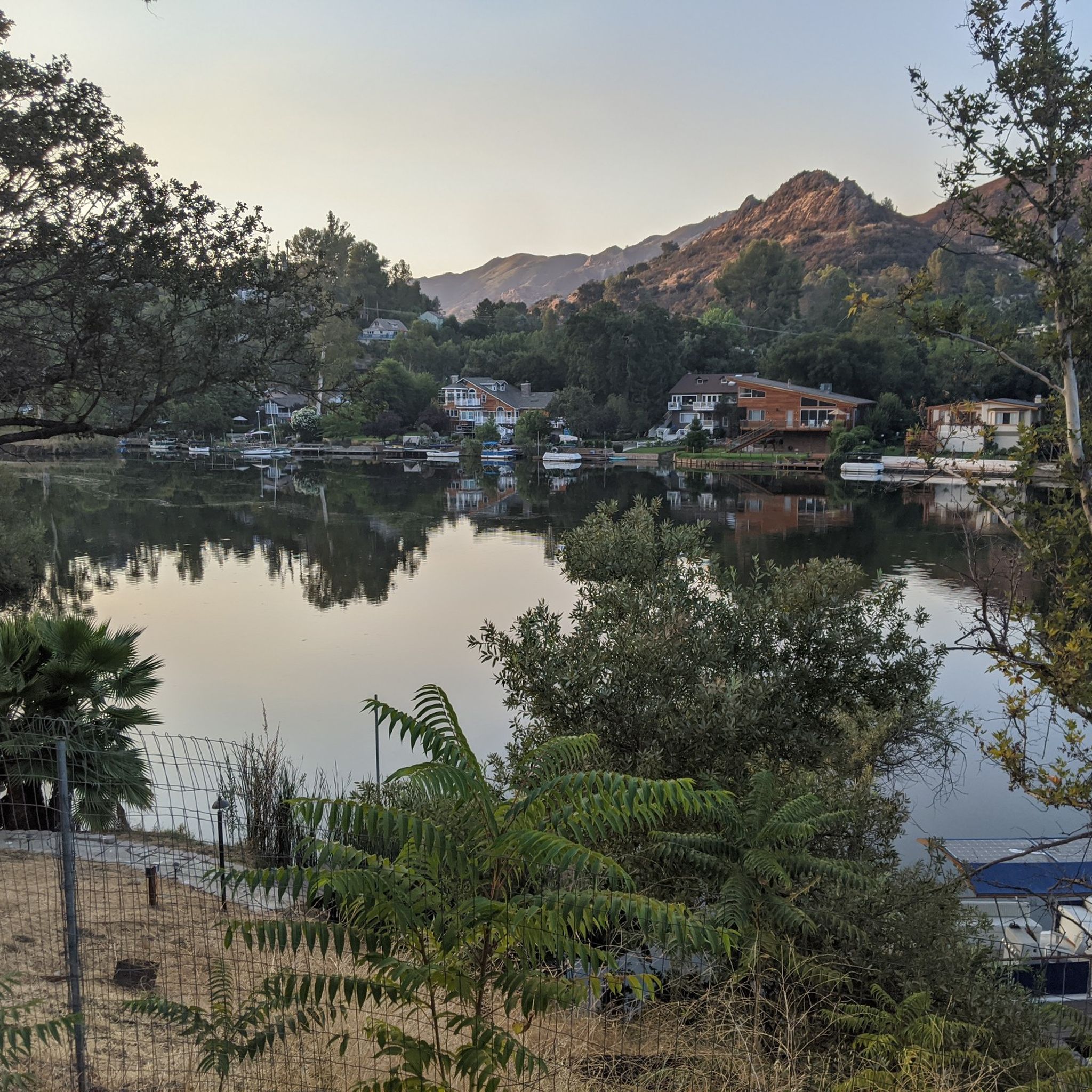
Jogging around Calabasas offers diverse natural landscapes and extensive trail systems. Nestled in the Santa Monica Mountains and the southwestern San Fernando Valley, the region features rolling hills, canyons, and open spaces. Runners can explore varied terrain, from streamside trails in woodlands to paved loops around Calabasas Lake, providing options for different fitness levels.
Best jogging routes around Calabasas
- The most popular jogging route is Century lake and Mesa Peak loop from Calabasas, a 14.3 miles (23.0 km) trail…
Last updated: August 11, 2026
70
runners
23.0km
02:56
830m
830m
Hard run. Very good fitness required. Mostly paved surfaces. Suitable for all skill levels.
29
runners
10.3km
01:13
170m
170m
Moderate run. Good fitness required. Mostly paved surfaces. Suitable for all skill levels.

Sign up for free
5.0
(1)
36
runners
Moderate run. Good fitness required. Mostly paved surfaces. Suitable for all skill levels.
19
runners
17.4km
02:03
330m
330m
Hard run. Very good fitness required. Mostly paved surfaces. Suitable for all skill levels.
12
runners
Hard run. Very good fitness required. Mostly paved surfaces. Suitable for all skill levels.
Get access to more routes and recommendations from other explorers.
Sign up for free
Already have an account?
Our route recommendations are based on thousands of hikes, rides, and runs completed by other people on komoot.
Start today with a free account
Your next adventure awaits.
Login or Signup

Tips from the Community

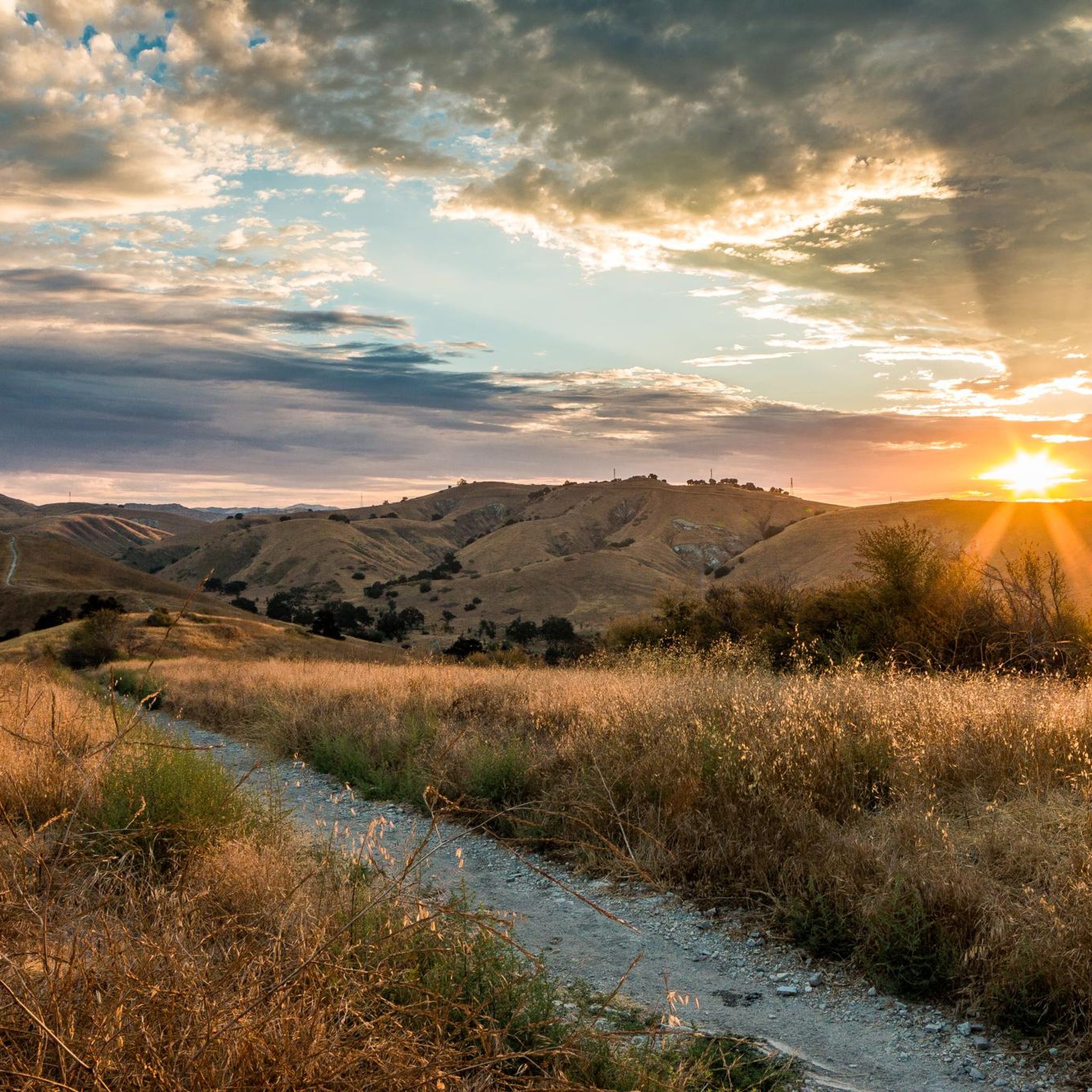
The Grasslands Trail is an easy, beginner-friendly singletrack that connects Malibu State Park to Calabasas. Here you can have beautiful views of open grasslands with gentle terrain and minimal elevation change, making it perfect for new riders. Here you can have beautiful views of open grasslands. The trail is accessed from the parking area along Mulholland Highway.
0
0

The Grasslands Trail is exactly what the name advertises: A nice, firm track through grassy meadows and a profusion of wildflowers in season. You won't find a lot of shade on this trail, but there are more trees — and a lot more shade — as you go farther into the park.
0
0

The Mary Weisbrock Loop Trail is a wide, smooth, and short path within the Upper Las Virgenes Open Space Preserve. The trail connects to a bunch of other paths on the property and opens up numerous loop and route options for your ride.
0
0
The Helipad in Malibu Creek State Park is the site of where a lot of the filming for the outdoor scenes in the famous television show M*A*S*H were filmed. It's worth pulling over and checking out the area if you're a fan of the show at all. There's a picnic table you can sit at if you want to take a break here.
0
0

If you are a fan of the classic American TV show M*A*S*H, you might enjoy a trail run to the site where the outdoor scenes were filmed. The Helipad is located in Malibu Creek State Park, about 2.5 miles from the park entrance. The trail is mostly flat and wide, except for a steep section near the creek crossing. You can see the remains of two jeeps, a picnic area, and the iconic signpost with the distances to various cities. You can also climb up the hill to get a view of the helipad, where the helicopters used to land. This is a great place to relive some of the memorable moments from the show and take some photos.
1
0

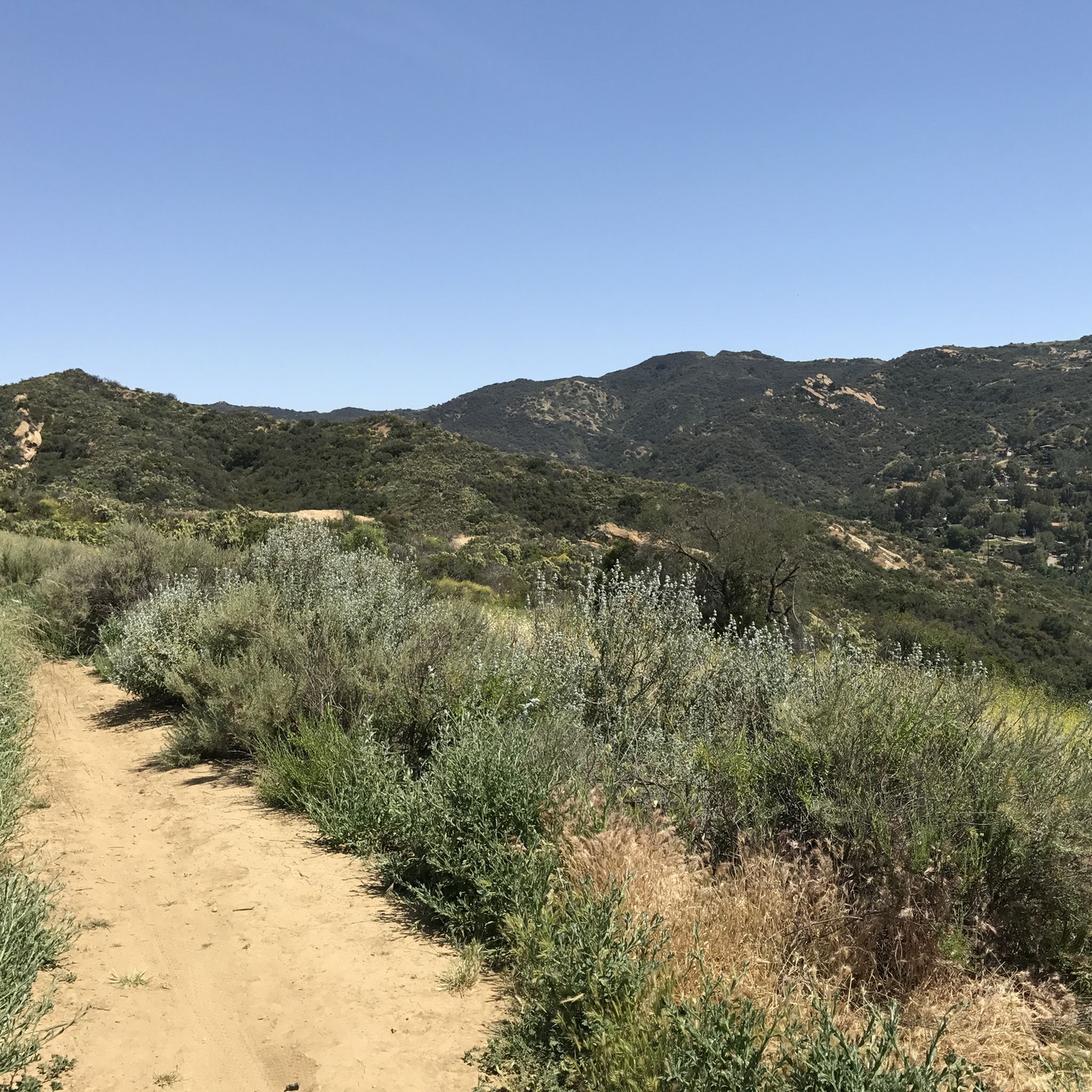
This is part of the 67-mile-long Backbone Trail that traverses the beautiful Santa Monica Mountains. The trail crosses some of the best-protected stretches of coastal Mediterranean habitat in the world. This section has some stunning sandstone rock formations and great views of the Santa Monica Mountain Range. This part of the Backbone Trail is rough and is best done on a gravel bike with 40mm+ tires.
0
0
This trail is called the Castro Peak Motorway but don't think it is paved in any way, far from it. The road runs near the crest of the Santa Monica Mountains connecting the Backbone Trail and the Bulldog Motorway. There are excellent views of the surrounding mountains, especially to the North. The trail is particularly sunny so watch out for rattlesnakes. As stated this is not a paved section of trail so it is best done on a good gravel bike with 40mm+ tires.
0
0
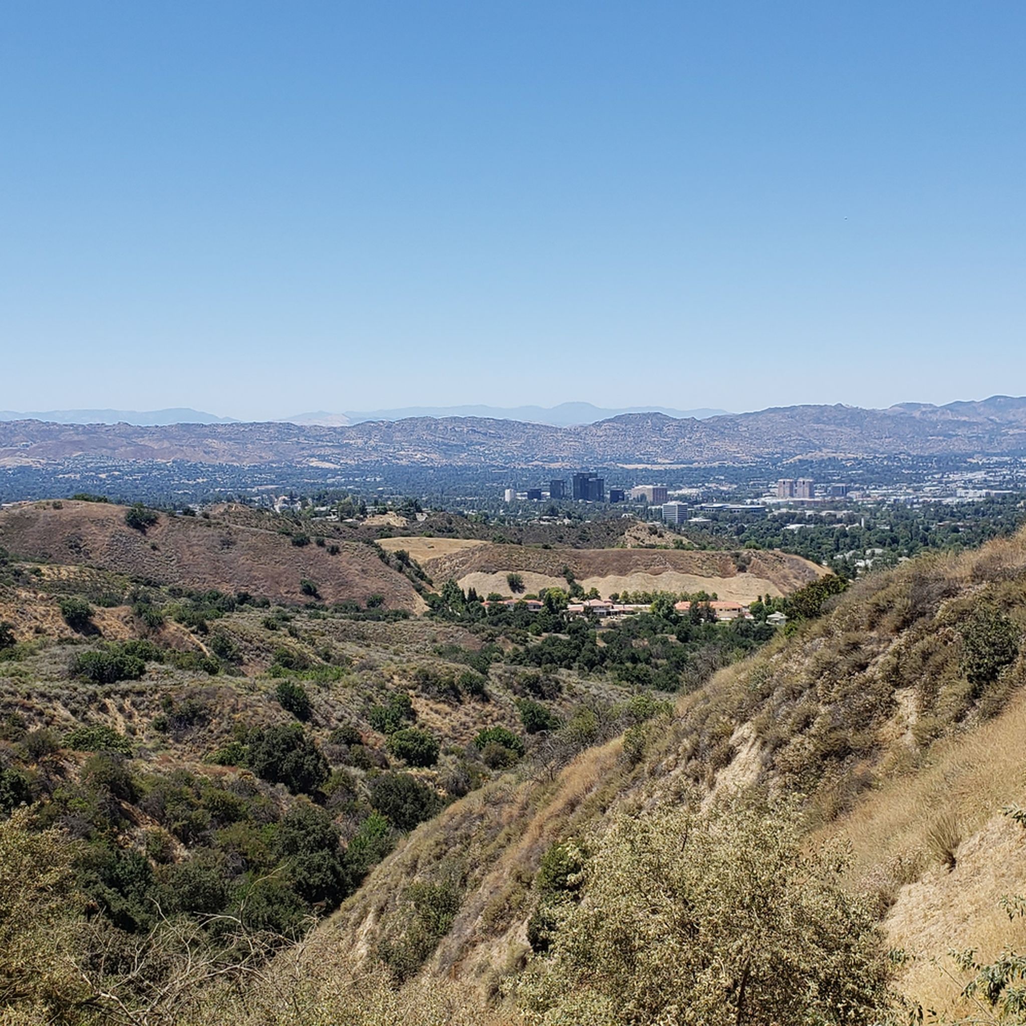
A beautiful spot with great views looking out over the Pacific Ocean and down over the nearby rolling hills that lead into Malibu.
0
0
Frequently Asked Questions
What types of running routes can I find in Calabasas?
Calabasas offers a diverse range of running routes, from easy paved loops to challenging mountain trails. You'll find paths winding through oak and sycamore woodlands, chaparral-covered slopes, and open grasslands. The region is nestled in the Santa Monica Mountains, providing varied terrain for all fitness levels.
Are there any easy or beginner-friendly running trails in Calabasas?
Yes, for a relaxed experience, the paved 2-mile loop around Calabasas Lake is perfect. Another excellent option is the Crags Road and High Road Loop, which is a moderate 6.4-mile path offering varied terrain. The Grasslands Trail, connecting Malibu State Park to Calabasas, is also an easy, beginner-friendly singletrack with gentle terrain.
Where can I find more challenging or long-distance running routes?
For those seeking a challenge, the Century Lake and Mesa Peak loop from Calabasas is a difficult 14.3-mile trail with significant elevation gain and scenic views. Another demanding option is the Grasslands Trailhead – Century Lake loop from King Gillette Ranch, covering 17.4 miles.
Are there any circular running routes available?
Many routes in Calabasas are designed as loops. For example, the Crags Road and High Road Loop is a popular moderate option. Another great choice is the East Las Virgenes Canyon – Las Virgenes Creek loop from Zev Yaroslavsky Las Virgenes Highlands Park, which takes you through canyons and along a creek.
What are some scenic viewpoints or attractions I can see while jogging?
Jogging in Calabasas offers numerous scenic spots. You can enjoy views of the Santa Monica Mountains, canyons, and even the Pacific Ocean from trails like the Century Lake and Mesa Peak loop. The Malibu Creek Rock Pools are a notable natural attraction within Malibu Creek State Park, and you might also encounter highlights like the San Vicente Mountain Viewpoint or Viewpoint at Backbone Trail.
Are the running trails in Calabasas dog-friendly?
Many trails in the Calabasas area, particularly those in open spaces like the Upper Las Virgenes Canyon Open Space Preserve, are generally dog-friendly, often requiring dogs to be on a leash. It's always best to check specific park regulations before heading out with your pet.
Can I find family-friendly running routes suitable for strollers?
For families with strollers, paved paths are usually the best option. The 2-mile loop around Calabasas Lake is ideal due to its flat, paved surface. Some city parks, like Juan Bautista de Anza Park, also offer accessible paths that connect to larger trail networks.
What do other runners say about the jogging routes in Calabasas?
The running routes in Calabasas are highly rated by the komoot community, with an average score of 4.4 stars from over 10 reviews. Runners often praise the diverse terrain, beautiful natural landscapes, and the variety of options available for different skill levels.
Is parking readily available near the trailheads?
Yes, many popular trailheads and parks in Calabasas, such as Juan Bautista de Anza Park, King Gillette Ranch, and Zev Yaroslavsky Las Virgenes Highlands Park, offer dedicated parking facilities, making access to the trails convenient for runners.
What is the best season for jogging on Calabasas trails?
Calabasas offers pleasant jogging conditions for much of the year. Spring and fall are particularly popular due to milder temperatures and blooming wildflowers. Winter can also be great, while summer mornings are best to avoid the heat, especially on exposed trails.
Are there any less crowded running routes in the area?
While popular spots can get busy, exploring trails within Wild Walnut Park or some of the less-trafficked sections of the Upper Las Virgenes Canyon Open Space Preserve might offer a more secluded experience. The Juan Bautista de Anza Park – Cistern Trail loop from Las Virgenes MWD Open Space is a longer, more challenging option that might see fewer people than shorter, easier loops.
Most popular routes around Calabasas
Most popular attractions around Calabasas

Get inspired with the komoot mobile app


Explore more
Browse the best Running Trails & Routes in other regions.
